Lani Advokat

Oregon Desert Trail

750 miles through the high desert of Eastern Oregon.

 
Screenshot 2023-08-14 at 11.17.56 AM.png
OVERVIEW


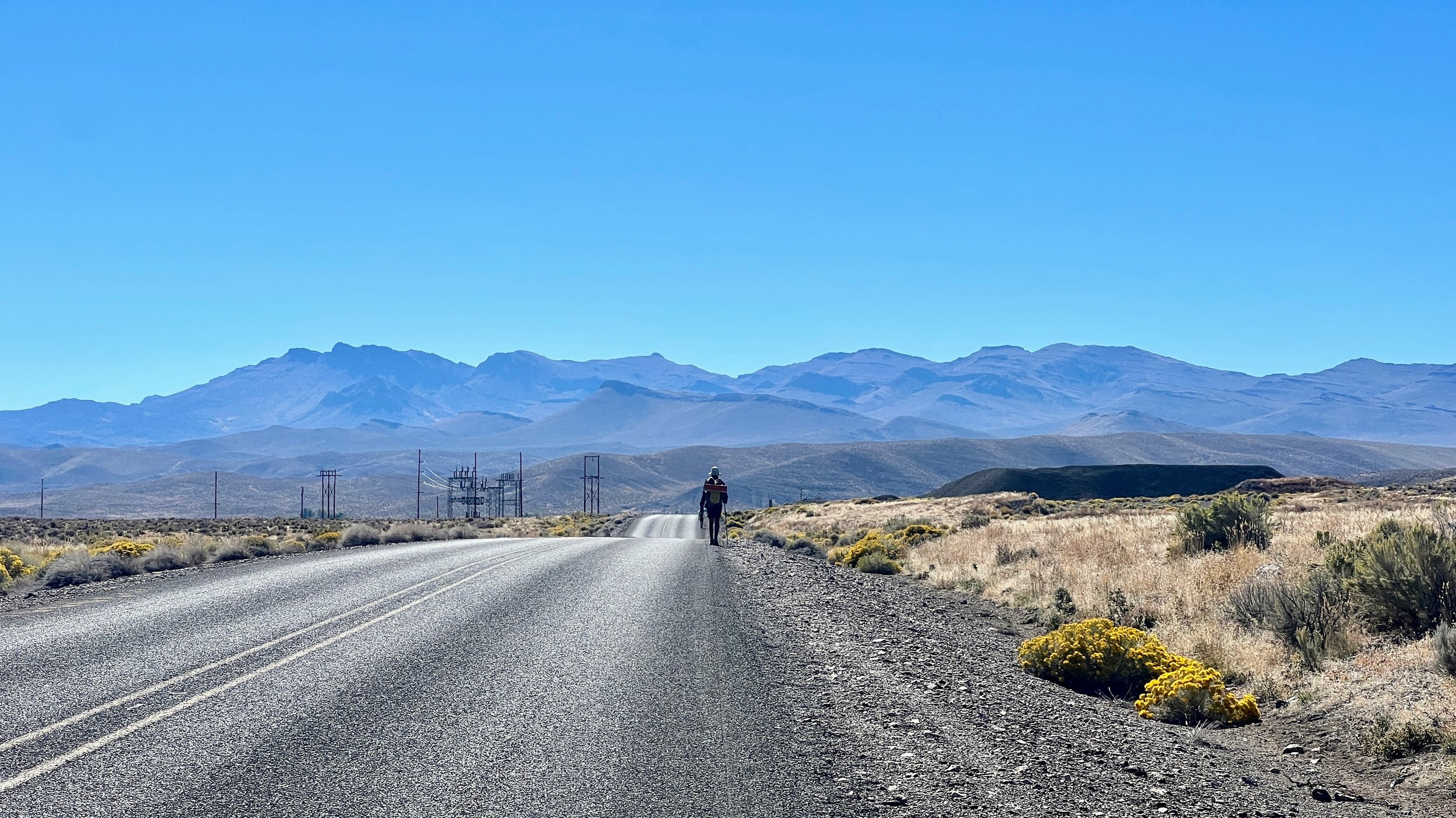
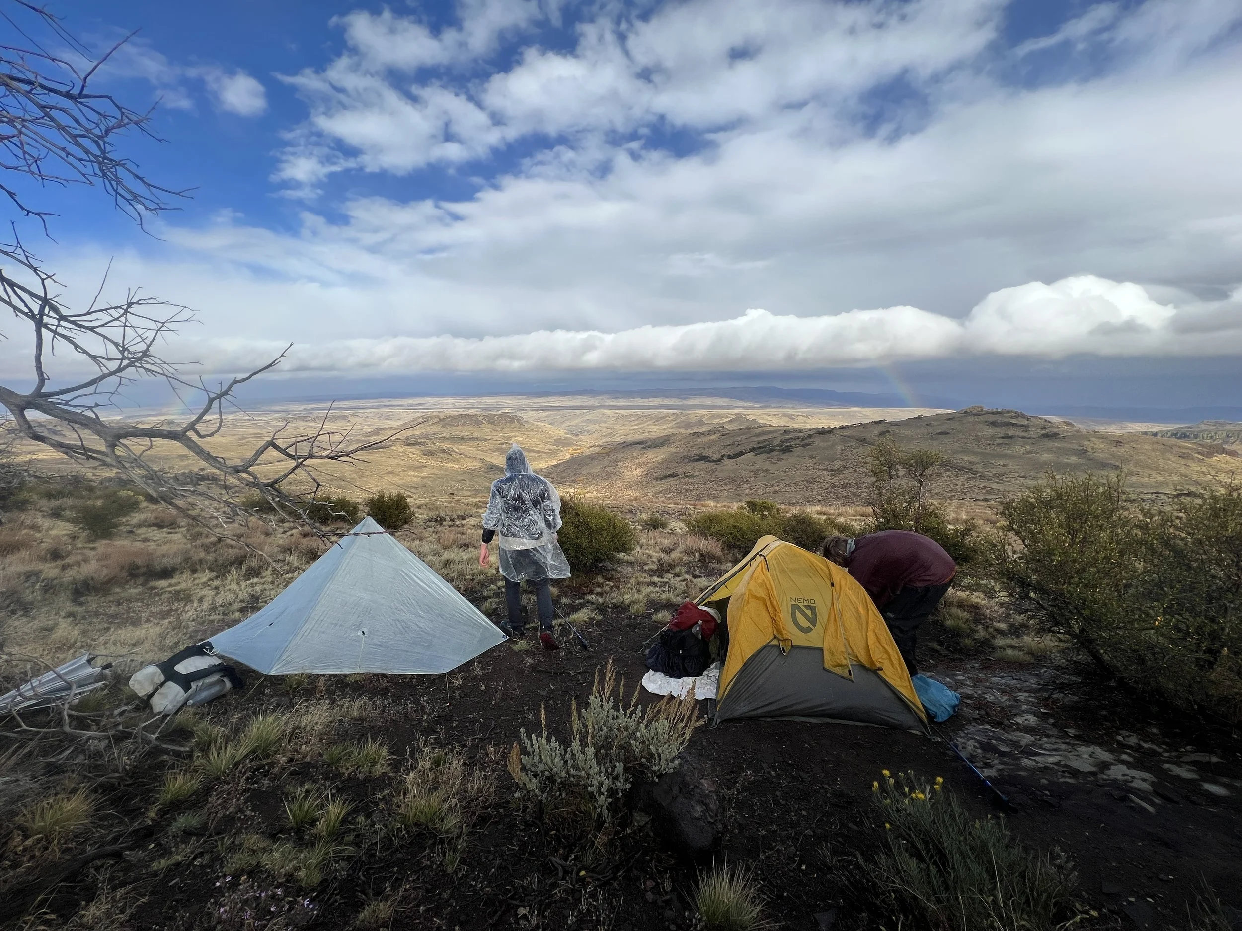
The Oregon Desert Trail (ODT) is a 750-mile route across southeastern Oregon. The route was developed by the Oregon Natural Desert Association (ONDA) as a way to showcase some of the most spectacular natural areas of the Oregon desert and to involve visitors in vital conservation efforts to maintain and protect these unique lands.

Are you looking for information to help plan your own adventure on the Oregon Desert Trail? If so, Click here. And please consider donating to the Oregon Natural Desert Association. Without their support, this route and the preservation of these lands would not be possible.

PLAN

IMG_3820.jpeg
Keep the route a route: The Oregon Desert Trail is a “virtual trail,” and completing the route in its entirety is a very challenging backcountry adventure. We believe there is a place for a remote route like this in the growing list of long distance backpacking experiences. Instead of building trail, we see the Oregon Desert Trail as an opportunity to teach hikers and other quiet recreationists how to responsibly travel through our eastern Oregon desert landscapes.
— Oregon Natural Desert Association

Tackling a route can be intimidating, and it does require some extra preparation. The content on this website details my planning process and journey to the Oregon Desert Trail. If you’re looking for resources to plan your own trip, I recommend that you start by visiting the ONDA website, where you'll find everything you need to prepare.


FUN FACTS AND STATS

Distance: Approximately 750 miles.
High Point: Steens Mountain (9,552’)
Low Point: Lake Owyhee State Park (2,655’)
Hiking Seasons: Spring and Fall
Number of Trail Towns: 18
Terrain: 10% hiking trail, 35% cross country, 50% unpaved or dirt roads, 5% paved roads.
Driest Section: The first 160 miles if you are starting from the western terminus.


Getting Started

BACKGROUND

My Oregon Desert Trail (ODT) adventure holds particular significance for me—it marks my first major trek in over a year and aligns with my 40th birthday. Last year, a broken toe cut short my Sierra High Route attempt, derailing my hiking plans for nearly twelve months. The road to recovery has been long and arduous. Although my toe still doesn't feel entirely back to normal (I don't know if it ever will), I've been given the green light to resume physical activities.

Navigating this new chapter of life brings about mixed emotions, much like a thru-hike with its physical and mental challenges. The ODT, with its vast deserts, stunning canyons, and rugged terrain, seems to be the perfect backdrop, and guide, to accompany me on this transformative journey.

As I begin this adventure, I'm not only carrying my backpack, but also a sense of gratitude for the opportunity to heal, for the support from my loved ones, and for the sheer joy of being able to celebrate my 40th birthday in such a profound way.

Want to join in the celebration? Click here!

BEFORE YOU BEGIN

Before you dive into my planning process, I'd like to provide some context. Approximately two months before my start date, I began seriously preparing for this hike. With no work commitments during this time, I could fully dedicate myself to the preparations. However, even with this focused effort, I found myself feeling a bit rushed. Given the chance, I would have preferred a more leisurely timeline.

Step 1. Research and Reach Out

My planning process began by visiting ONDA’s website, which led me to contacting Renee Patrick, the ODT trail coordinator. She has provided more help and data than I could have imagined including, gpx tracks, water reports, guidebook, town guide, and more! If you are interested in planning your own trip, whether it’s a long-distance journey or something shorter, you will find everything you need to know by clicking here.

Step 2. Organize Beta and Create Spreadsheet

To wrap my head around a 750-mile route, I broke up the trail into small sections based on resupply/maildrop locations (listed below). I created a spreadsheet to help me estimate the amount of days each section should take, average miles per day, and dates of arrival to each location.

Step 3. Prepare and Ship Resupply Boxes

Having access to nutrient dense vegan food along the trail was a concern of mine. Therefore, I prepped all of my food in advance relying almost entirely, on maildrops.


Resupply Plan

Below you will find a basic outline of my resupply sections. I've based these estimates on an average of around 20 miles per day, allowing for some flexibility. I've also taken into account the likelihood of long water carries at the outset and rugged/slow terrain throughout.

Total Sections: 8 | Total Resupply Boxes Sent: 7 | |. Estimated Days To Complete Trek: 34


1. Bend (Start) to Peters Creek
69 mi // 3.5 days

2. Peters Creek to Paisley
91 mi // 4.5 days

3. Paisley to Plush
105 mi // 5 days

4. Plush to Frenchglen
118 mi // 5 days

5. Frenchglen to Fields
64 mi // 3 days

6. Fields to McDermitt
99.5 mi // 4.5 days

7. McDermitt to Rome
114 mi // 5 days

8. Rome to Lake Owyhee State Park
75 mi // 3.5 days

ODT JOURNAL

Stories for every day on trail

IMG_0327.jpg

Dates: September 11th, 2023 - October 24th, 2023  Days: 44 Miles: 750 (ish)


Can't find what you're looking for? Try searching below!


GEAR


IMG_1344.JPG
 
Out of clutter, find simplicity. From discord, find harmony.
In the middle of difficulty lies opportunity
— Albert Einstein


THE BIG STUFF


CLOTHES

WORN
Hiking Shirt:
Columbia Hiking Shirt w/ SPF (thrift store find)
Shorts: Everlast Black Shorts (thrift store find)
Sports Bra: Lulu Lemon
Hat: Stetson Explorer
Socks: Darn Tough
Shoes: Altra Superior
Fanny Pack: Atom Packs - The Roo
Trekking Poles: Black Diamond Distance Carbon FLZ Trekking Poles
Sun Gloves: Outdoor Research

CARRIED
Wind Jacket: Patagonia | Houdini
Puffy: Patagonia | NanoPuff
Rain Jacket: Arc'teryx | Alpha SL
Rain Pants: Sierra Designs
Gloves: Seirus | SoundTouch
Bug Net: Sea to Summit


COOKING + HYDRATION

COOKING
Cooking Pot: TOAKS Titanium 900ml D115mm Pot
Stove:
Snow Peak LiteMax
Spoon: TOAKS Long Spoon

WATER TREATMENT
Water Treatment: Aquamira
Water Filter:
Katadyn BeFree

FIRST AID + TOILETRIES

FIRST AID
Ibuprofen: Pain & altitude symptoms
Antihistamine: Allergies
Reusable Pads: Menstruation and/or gauze
Bandaids:
Various Sizes
KN95 Mask: Useful in case of wildfire smoke

TOILETRIES
Toothbrush + Toothpaste
Floss:
(can be used as thread for a sewing kit)
Antibacterial Wipes + Hand Sanitizer
Contact Solution + Contact Case
Glasses

REPAIR + ELECTRONICS

REPAIR
Sewing Kit:
Needle and thread.
Repair Kit:
Tenacious Tape
Knife: Spyderco Honeybee

ELECTRONICS
Phone + Camera: Iphone 13
Power Bank:
Anker 10,000 mAh
Tripod:
Pedco UltraPod
Charger Cable + Wall Port:
Anker 323 Charger Series 3 2-port USB-C + USB
GPS:
Garmin InReach Mini
Headlamp: Nitecore


FOOD

When preparing my resupply boxes, I focus on gathering lightweight, high-calorie, vegan-friendly food. I include a mix of nuts, dried fruits, salty and sweet snacks, as well as hearty plant-based dinners.


Questions about gear?