PCT + SEKI: A Route Less Traveled
July 16th, 2019
Copper Creek Trail / Granite Basin
Miles: 12 Elevation Gain: 5,669ft
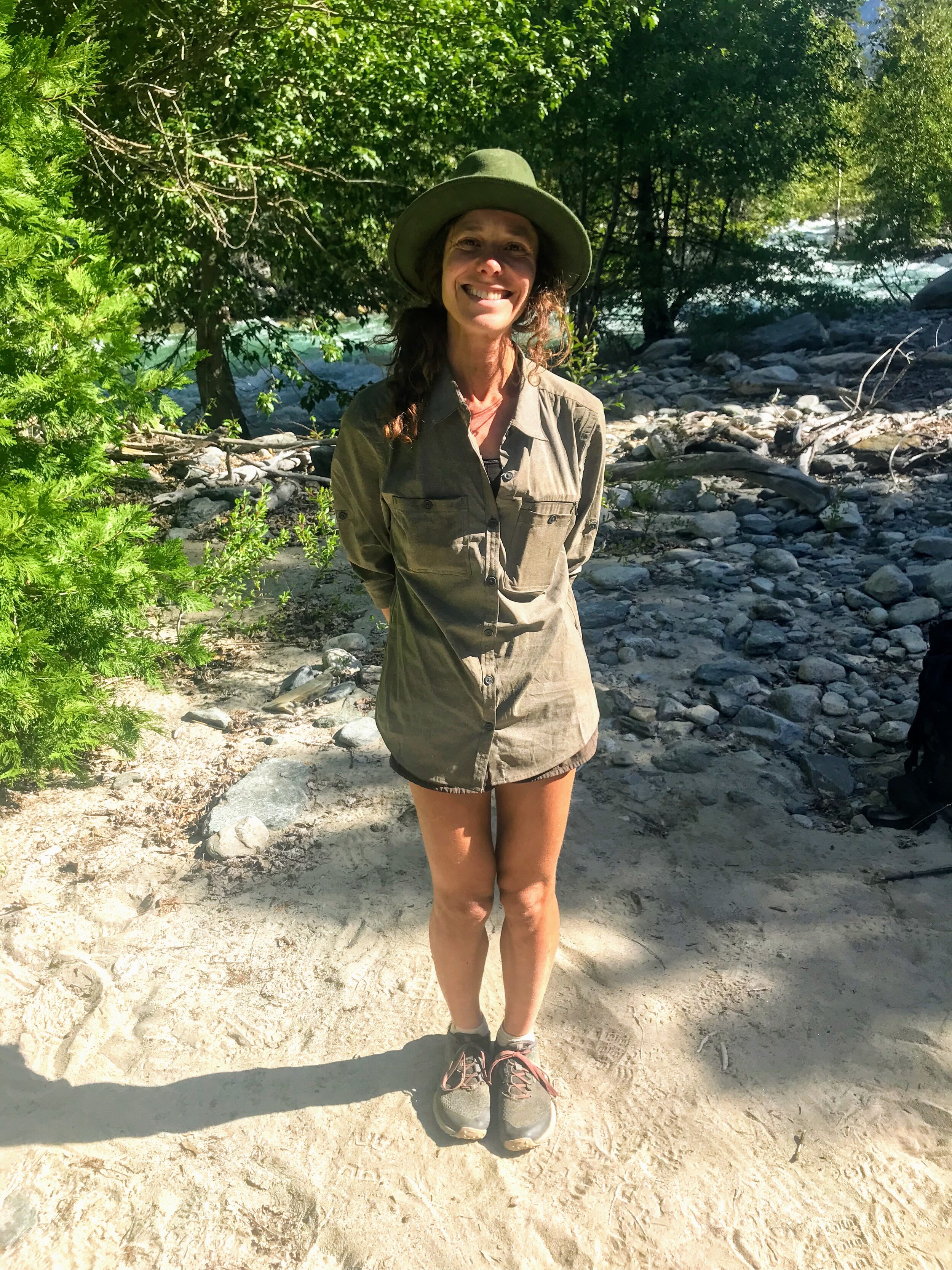
A restaurant at a trailhead can be a dangerous thing, especially when that restaurant has vegan options and outdoor seating. Cosmo and I sat on the patio of the Cedar Grove Lodge, overlooking Copper Creek, and enjoyed our non-dehydrated breakfast (and lunch). Hopefully a veggie burrito, hummus wrap, veggie burger, and soda will provide adequate fuel for the morning.
For the past four weeks Cosmo and I have followed trails that are well maintained and highly trafficked. To make our way back to the Pacific Crest Trail we will spend the next few days following a route that we pieced together by connecting various trails on a map. A good portion of the trail conditions are unknown and it is likely that there will be few people out there. We were excited to test out our backcountry skills and explore new territory!
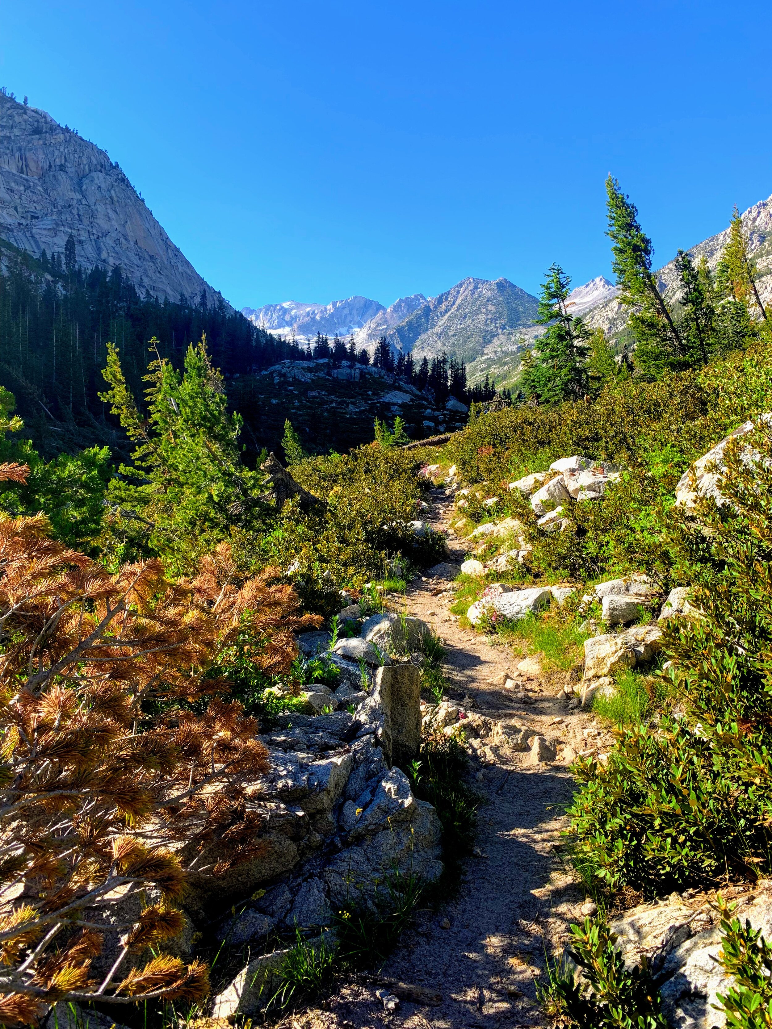
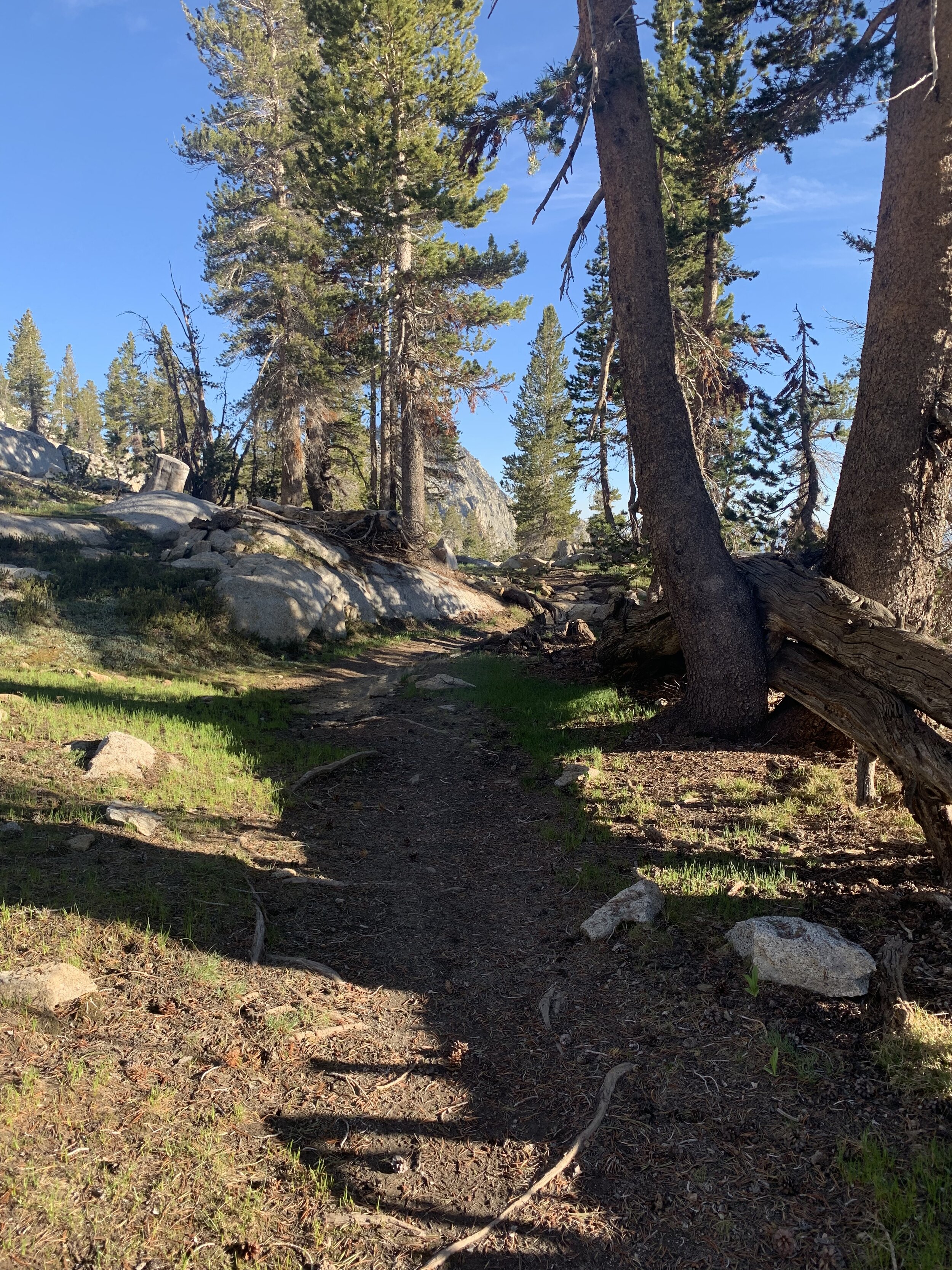
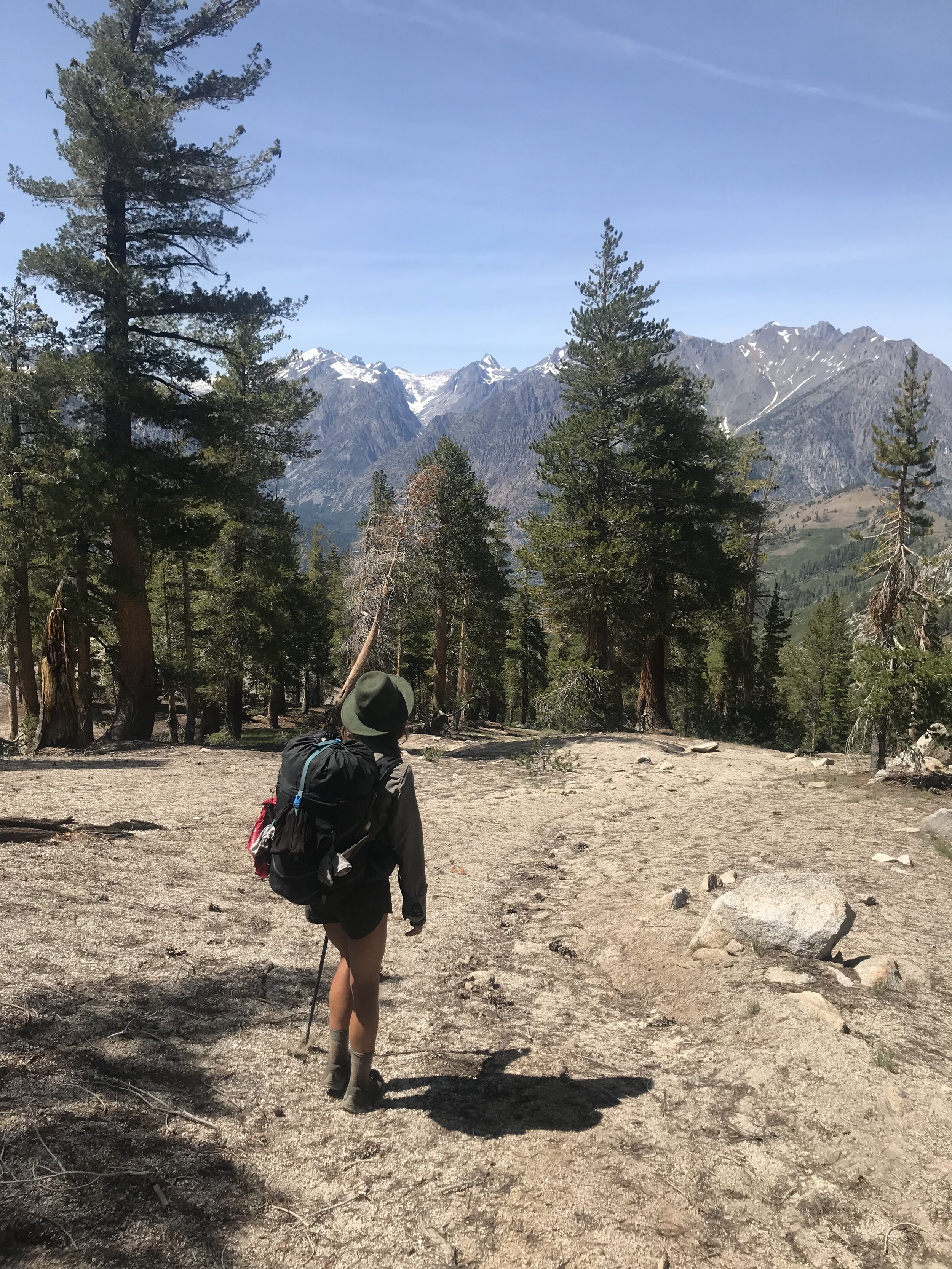
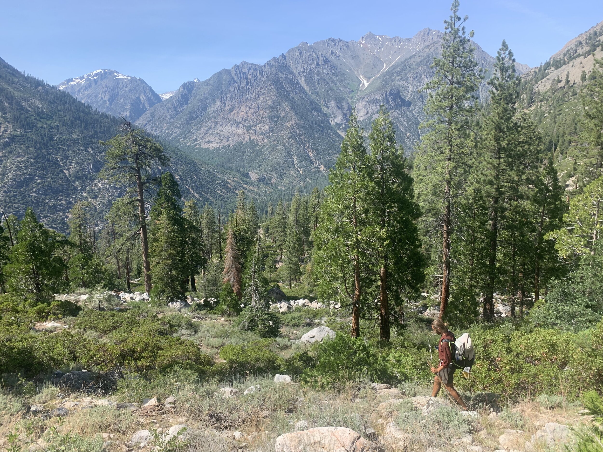
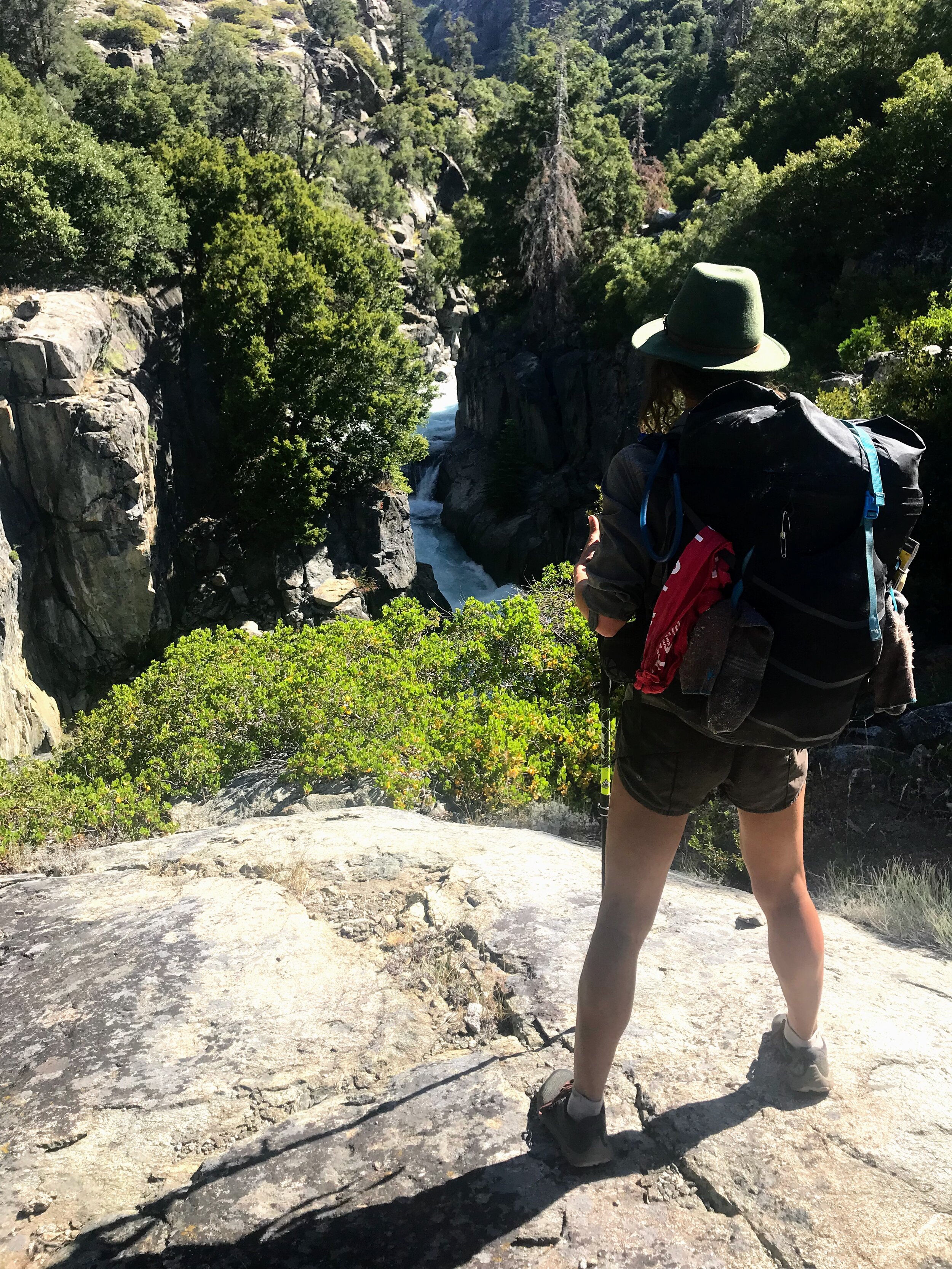
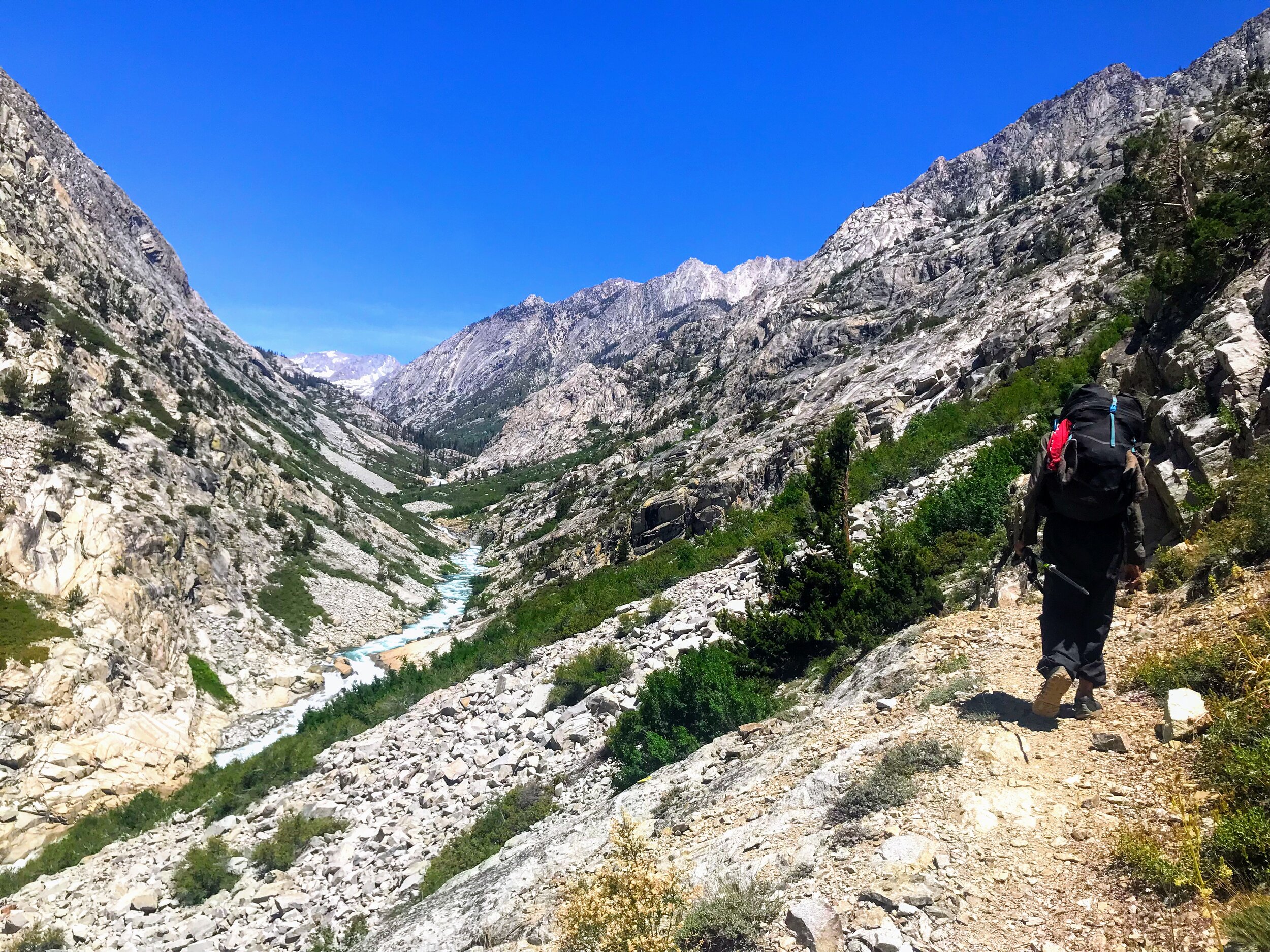
Our backpacks (and bellies) feel heavy as we leave Roads End and set out on the Copper Creek Trail - a moderately popular trail in Kings Canyon National Park. We follow a well maintained sandy path that will climb over 5,000 ft within the first seven miles.
We take breaks often as we make our way up four miles of exposed switchbacks. Chaparral and short scrubby trees line the trail but offer no shade from the fully exposed, hot sun.
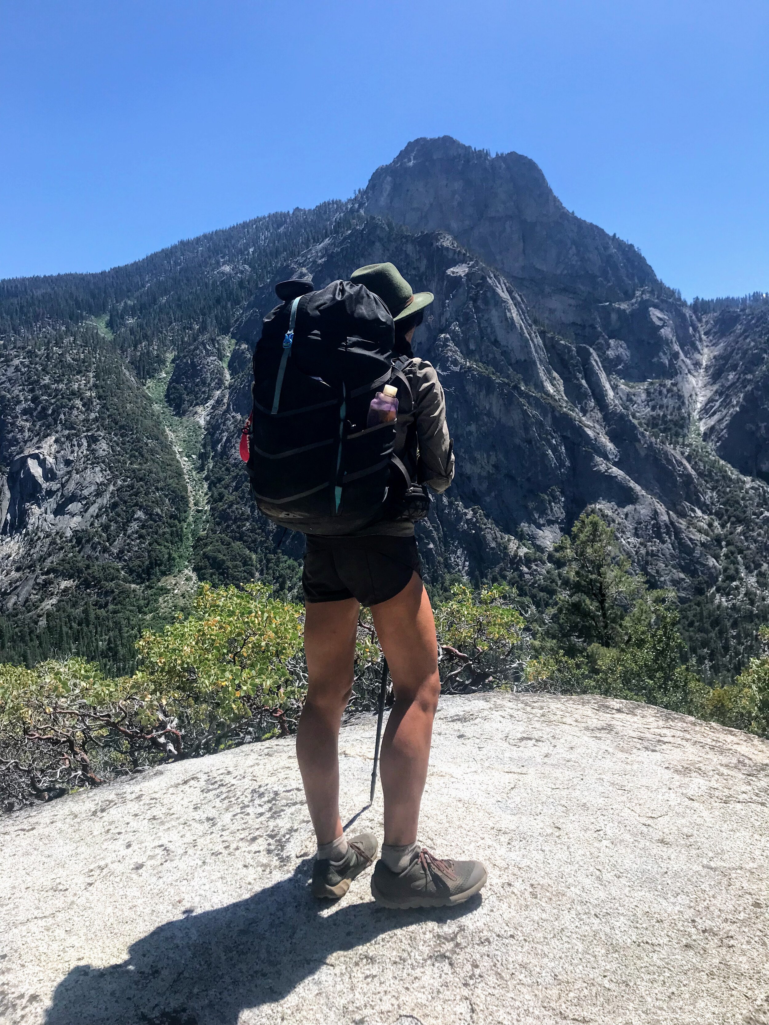
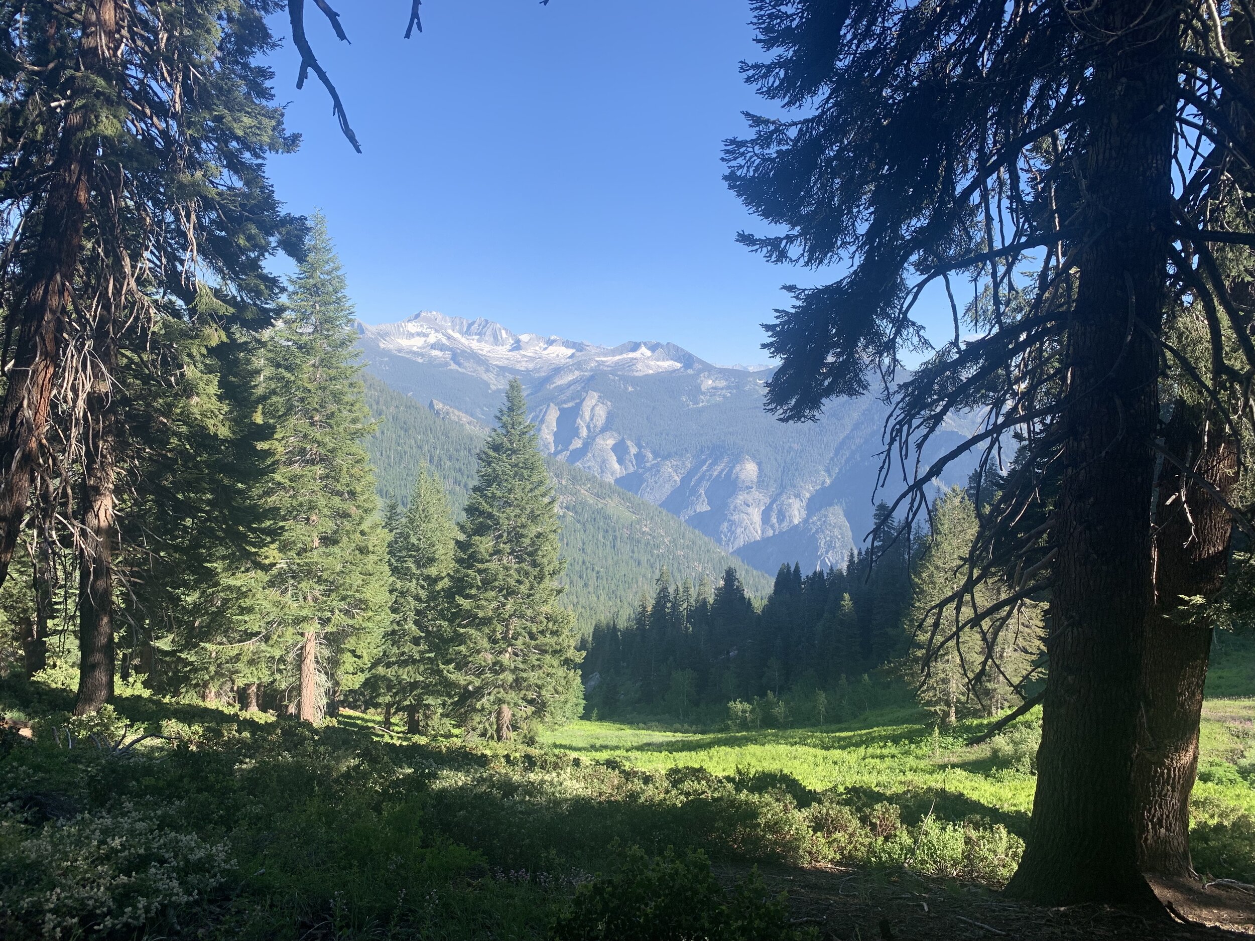


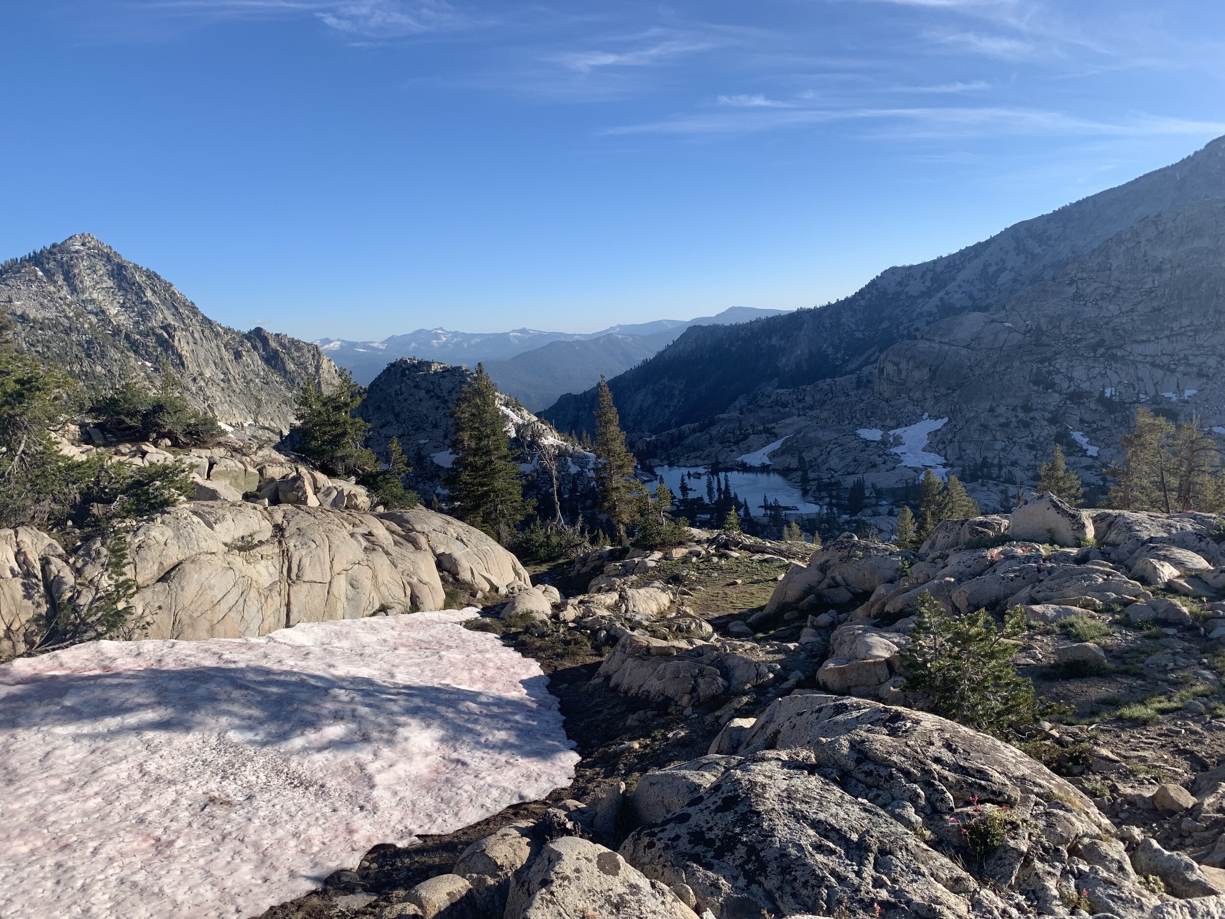
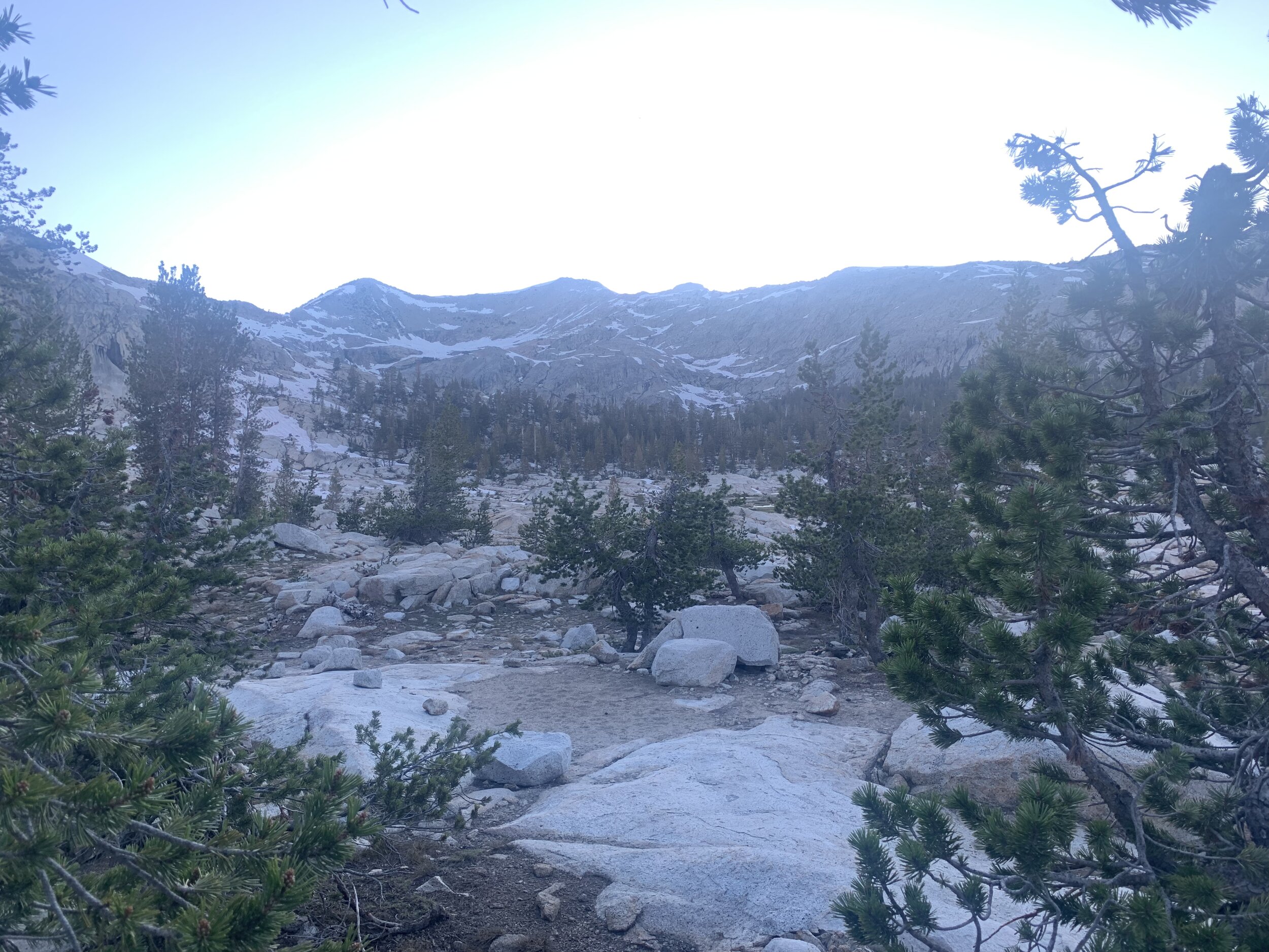
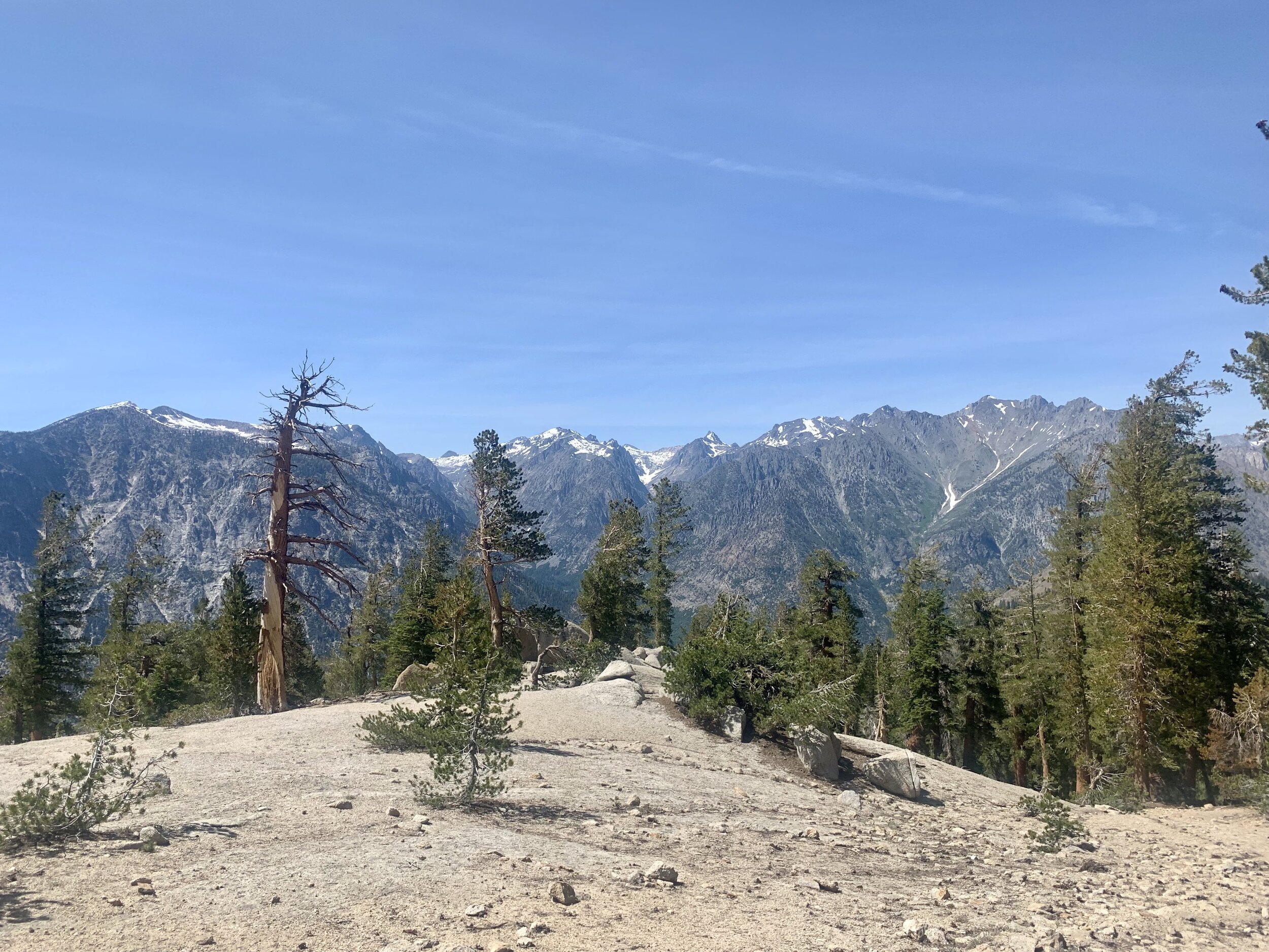
We reach a forest, climb for three more miles, and take a break at the top (aka The Lip), a ridge overlooking Granite Basin. After seven miles we have climbed over 5,000ft!
Part of the Trail Map of Sequoia and Kings Canyon National Parks: Generals Highway (Redwood Hikes Press, 2013)
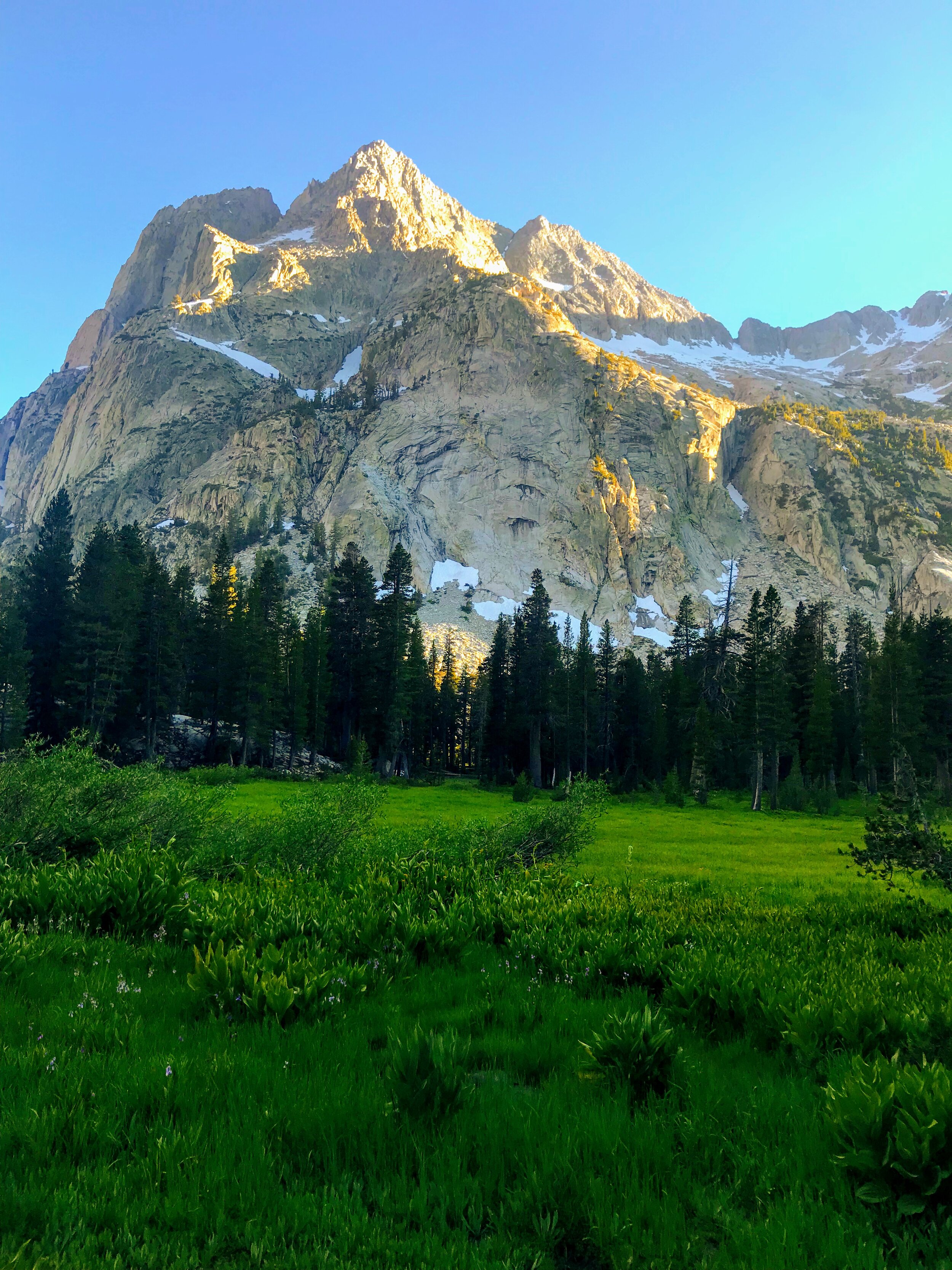
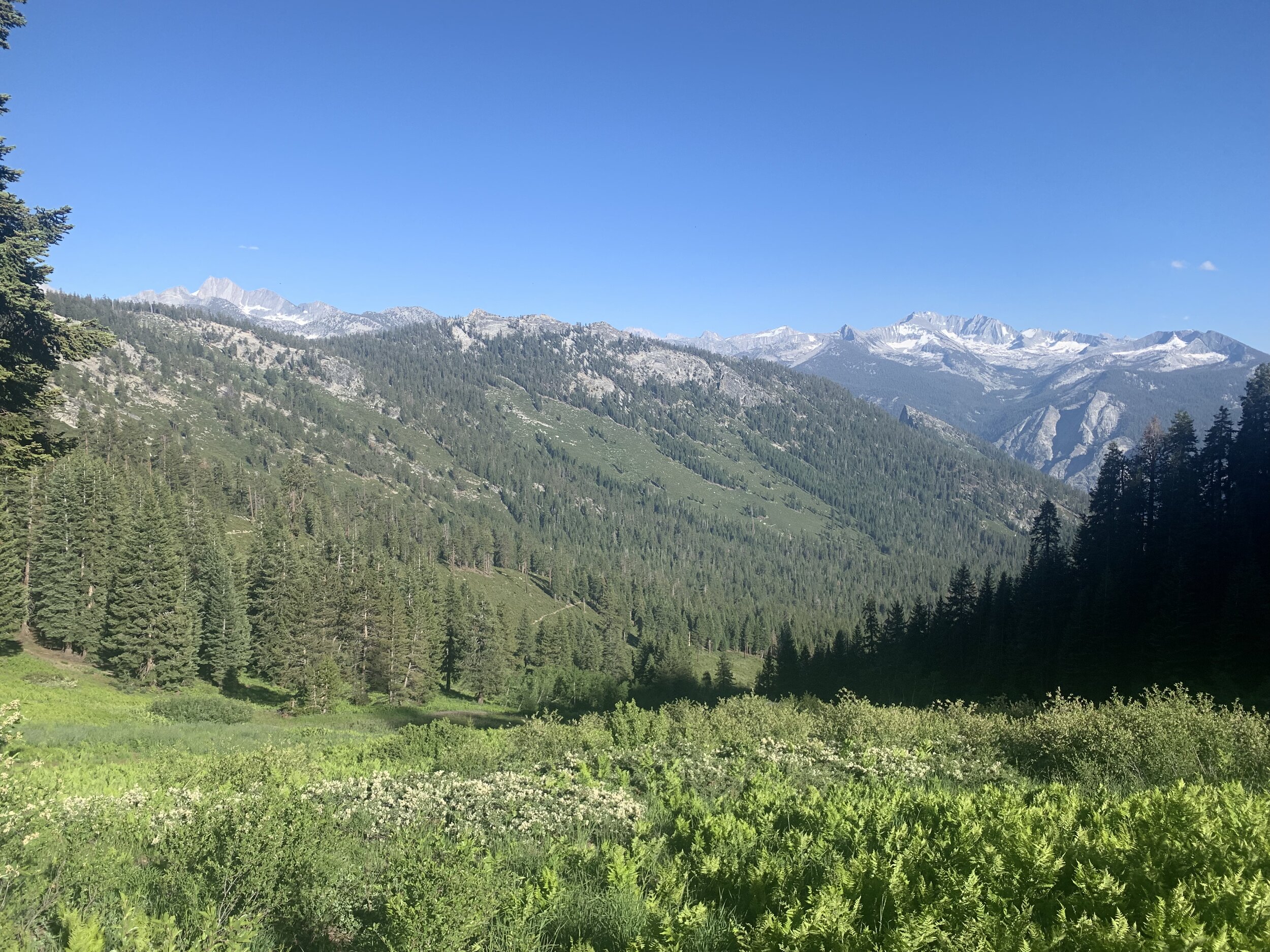
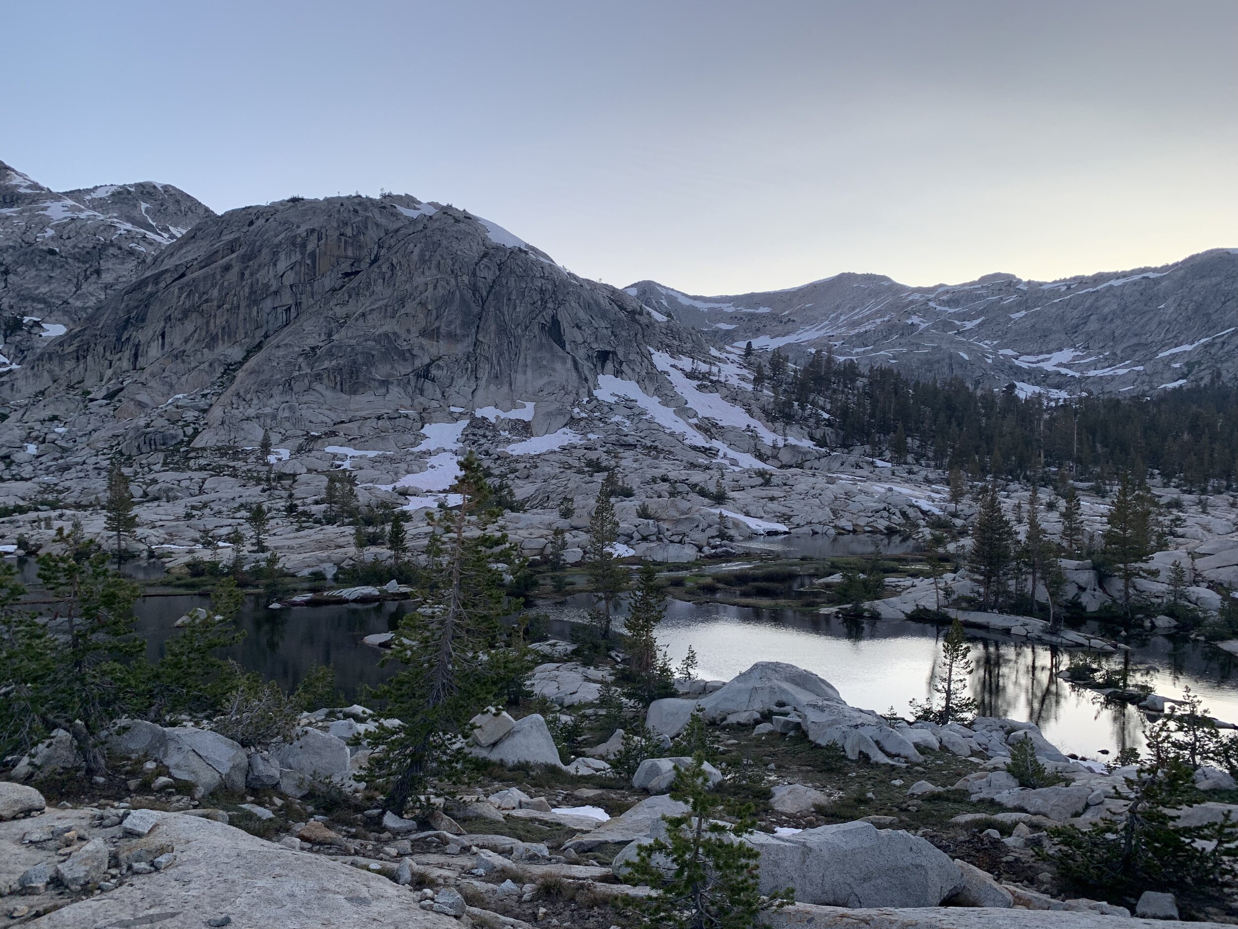
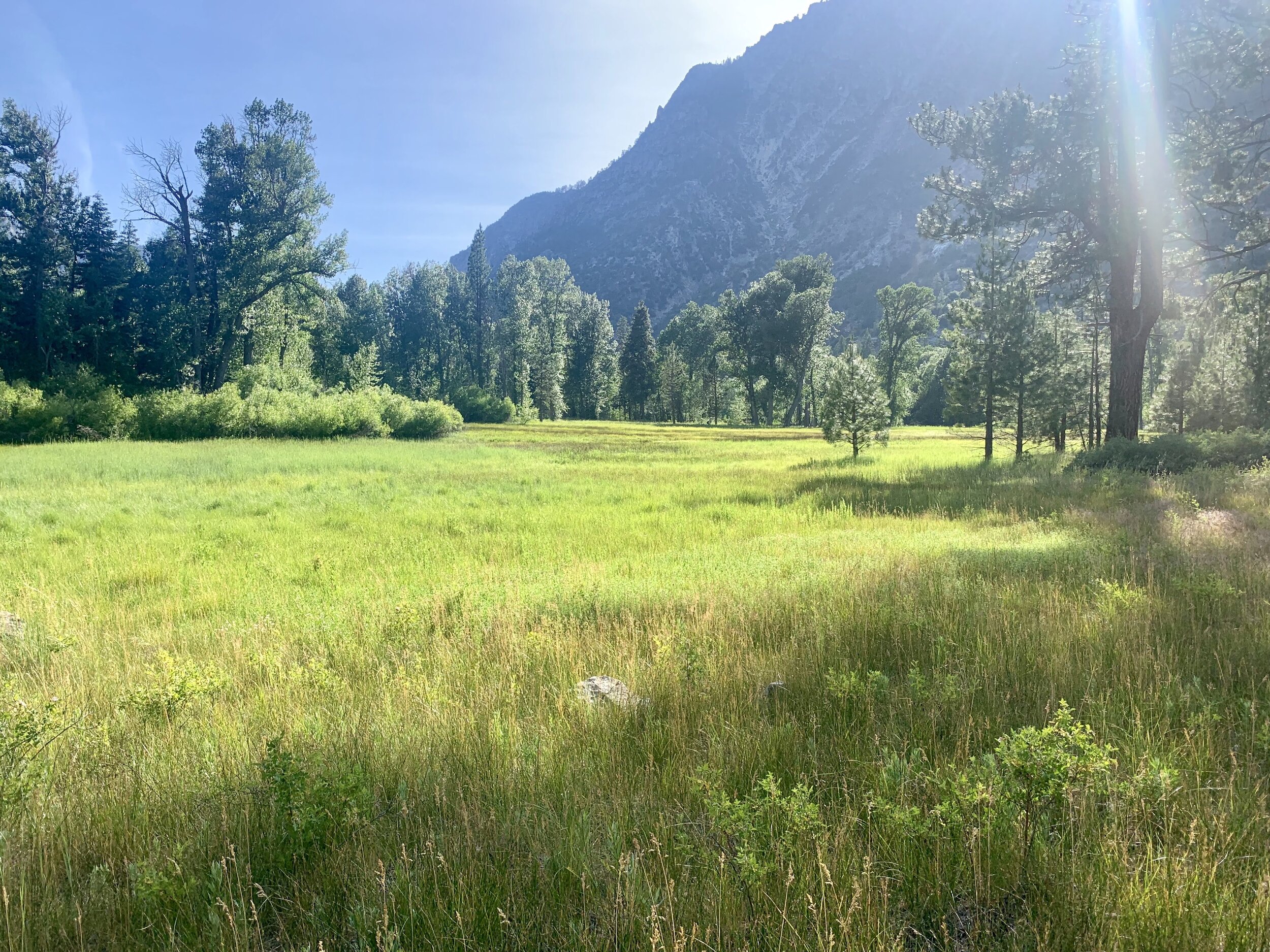
Sheer granite cliffs surround alpine lakes, wildflowers and green grassy meadows within the aptly named Granite Basin. The warm air from the day fades into a cooler evening breeze as we make our descent into the basin.
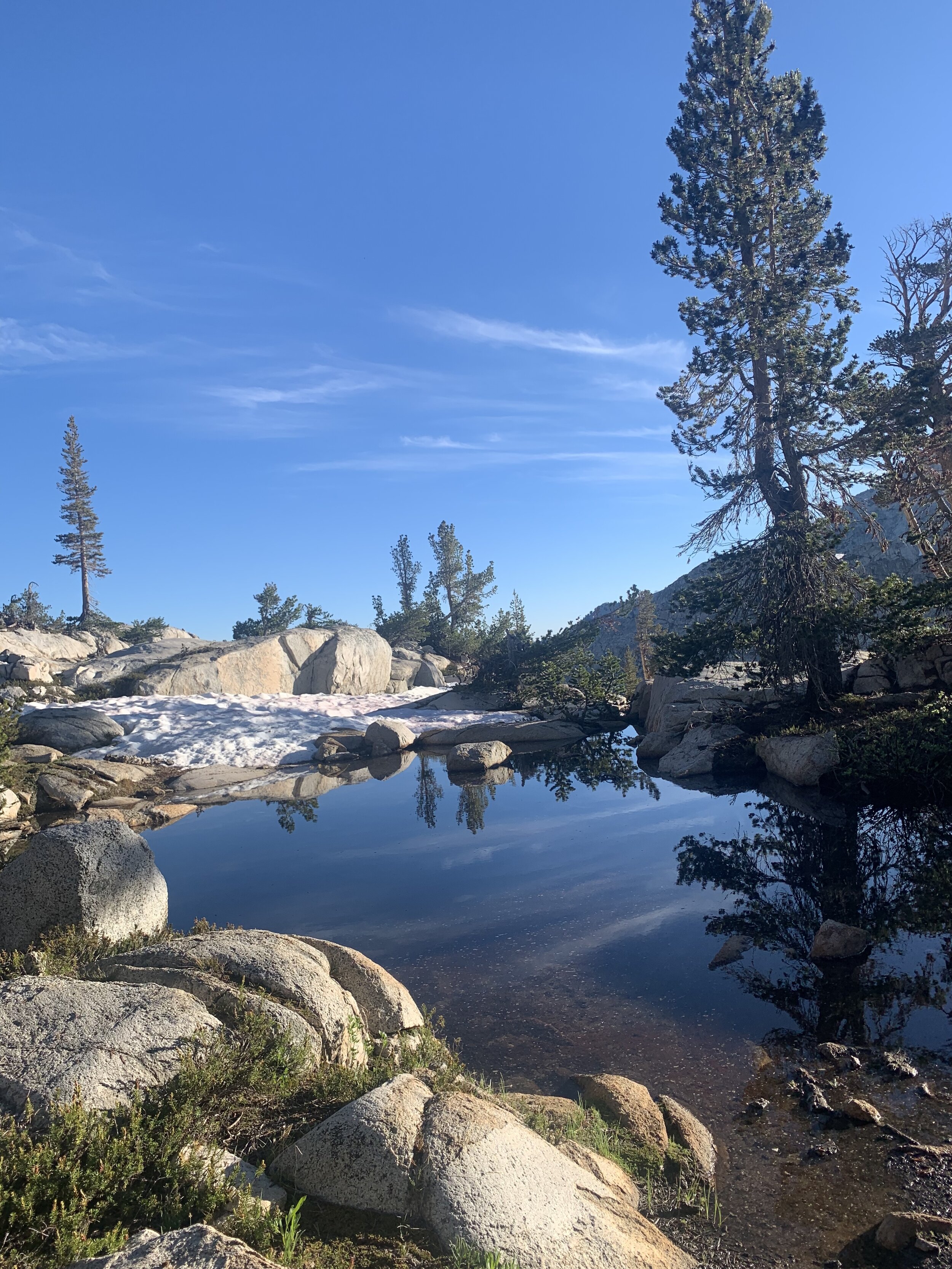
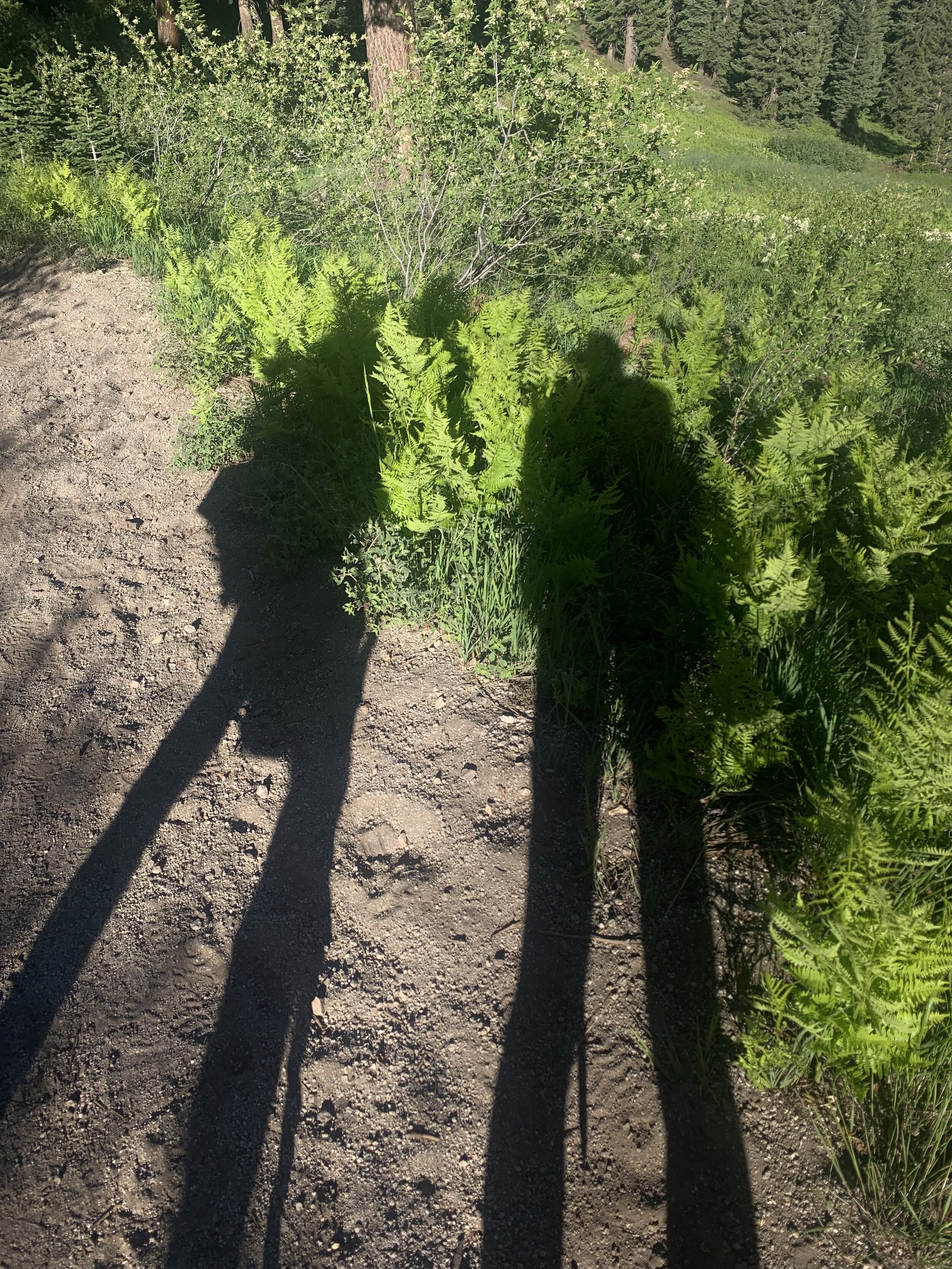
We camped on a rocky slab overlooking Granite Lake.
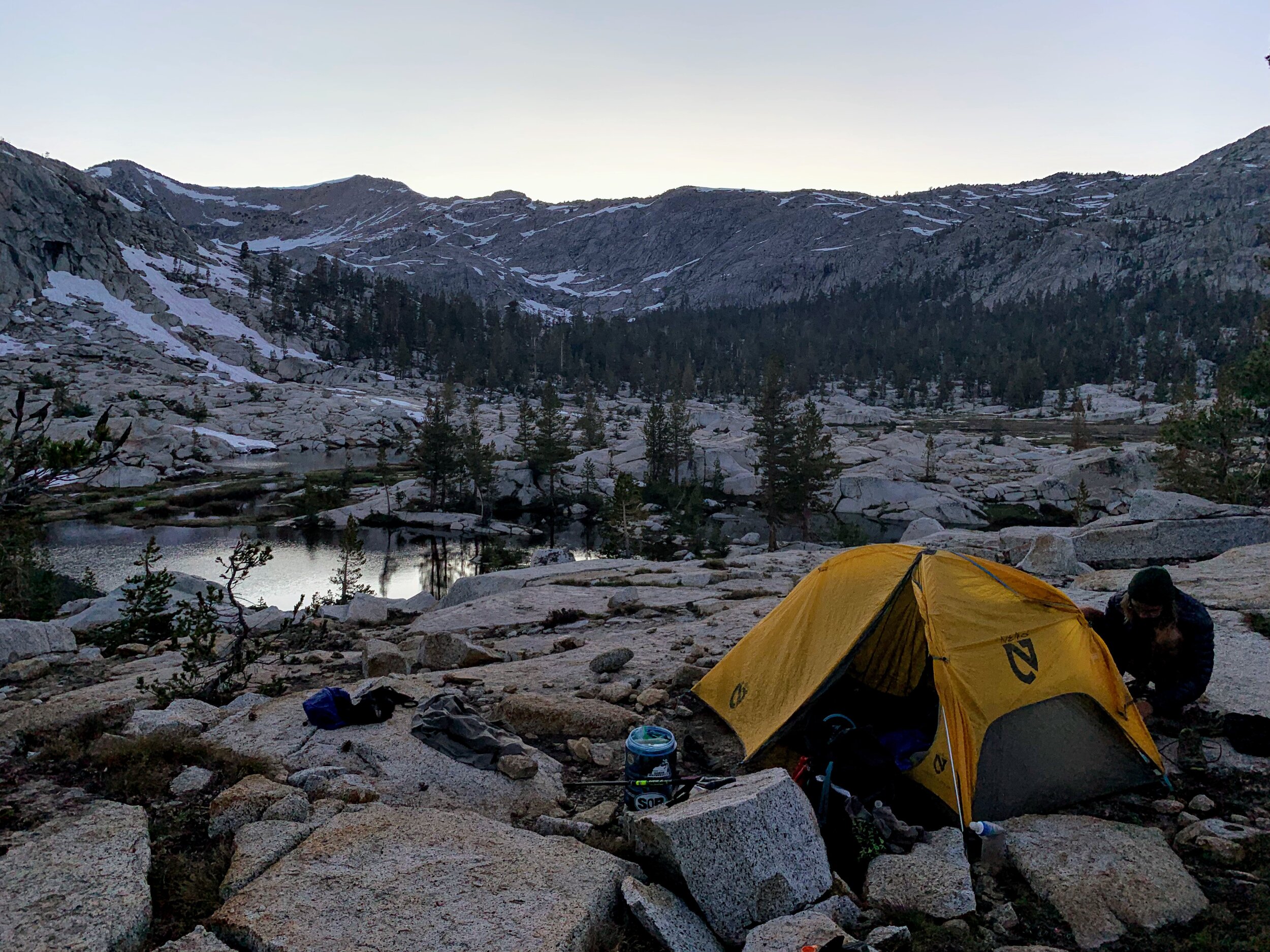
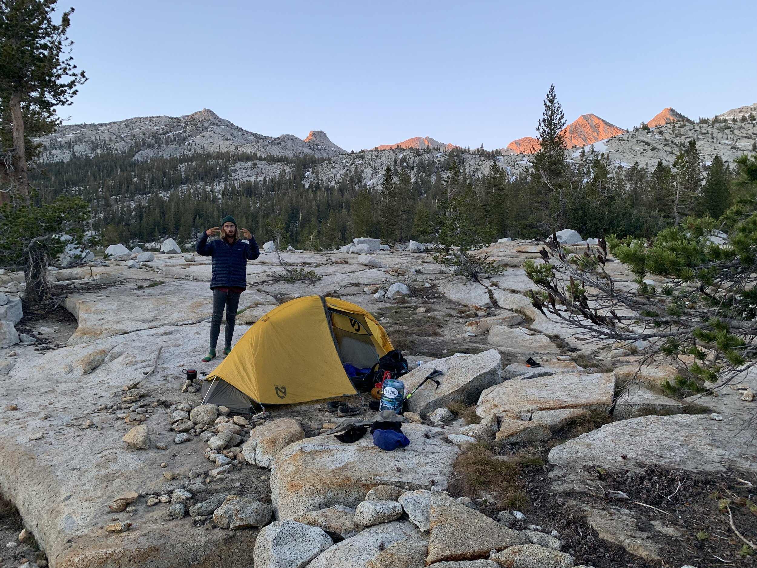
The full moon lit up the sky, stimulating the frogs at the lake whose chorus of croaks echoed throughout the basin and throughout the night. Ahh, the soothing sleep sounds of nature!
July 17th, 2019 - Middle Fork Trail
Middle Fork Trail to Simpson Meadow
Miles: 20 Elevation Gain: 2,152
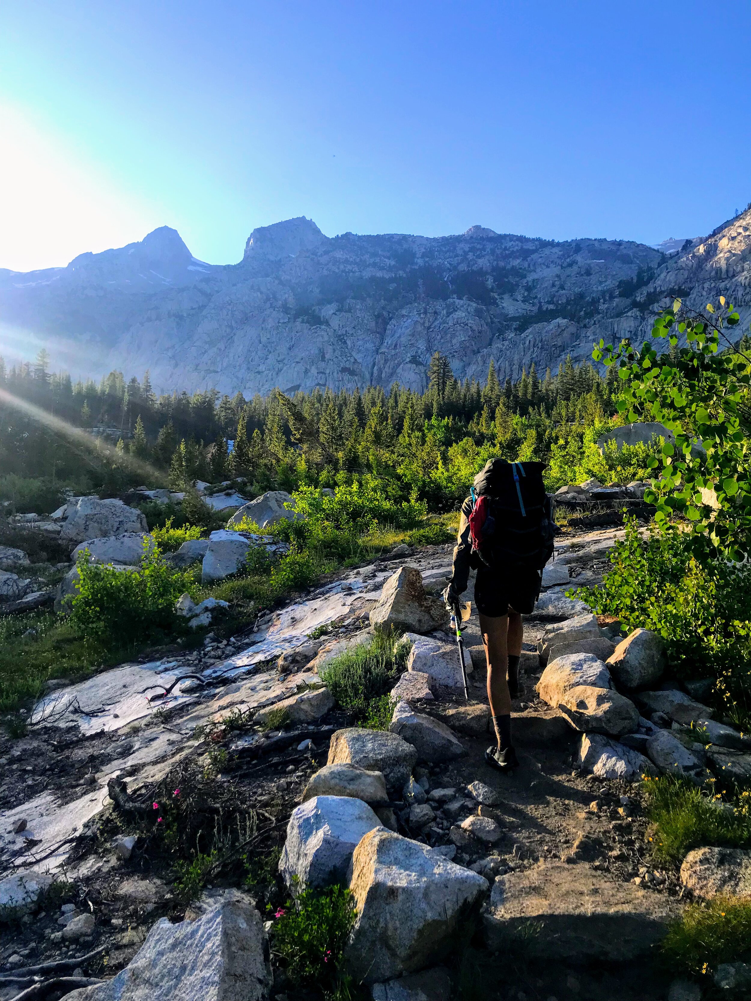
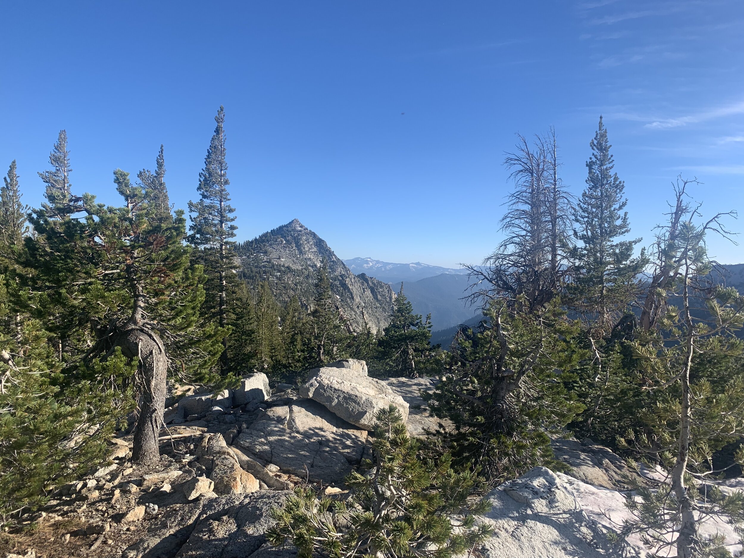
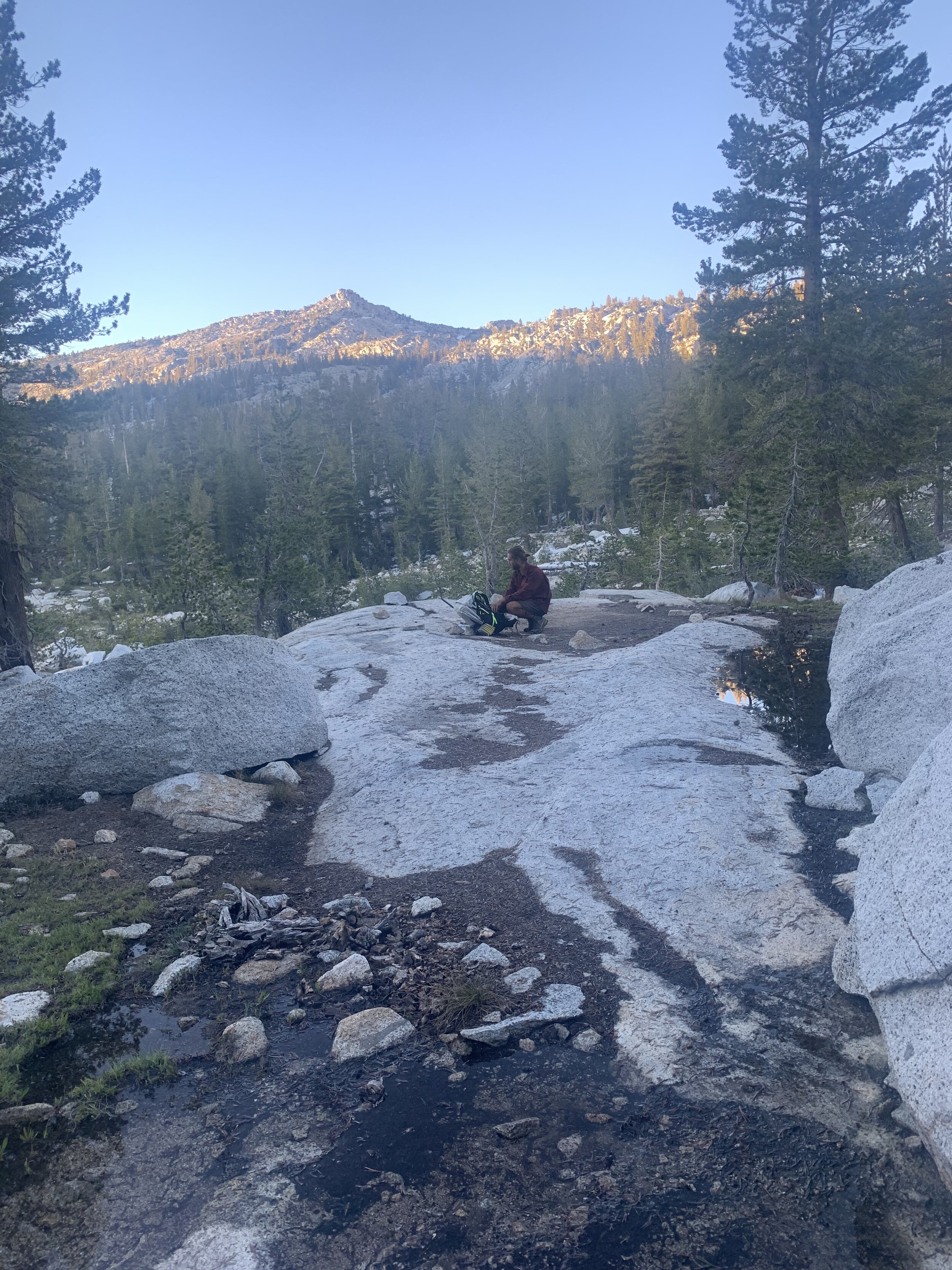
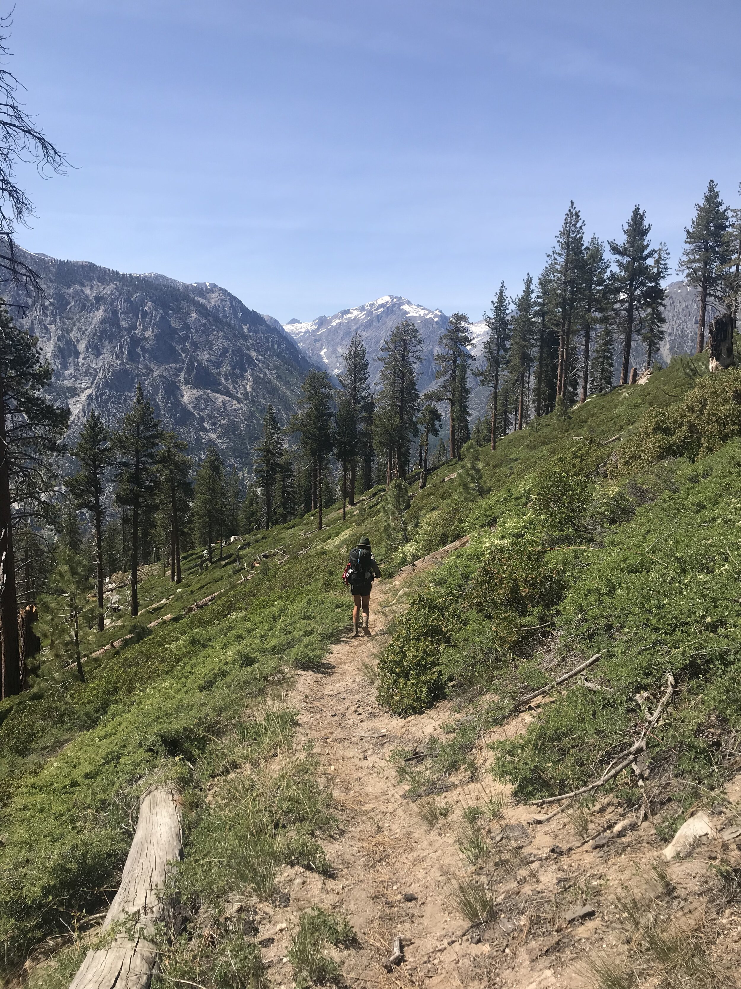
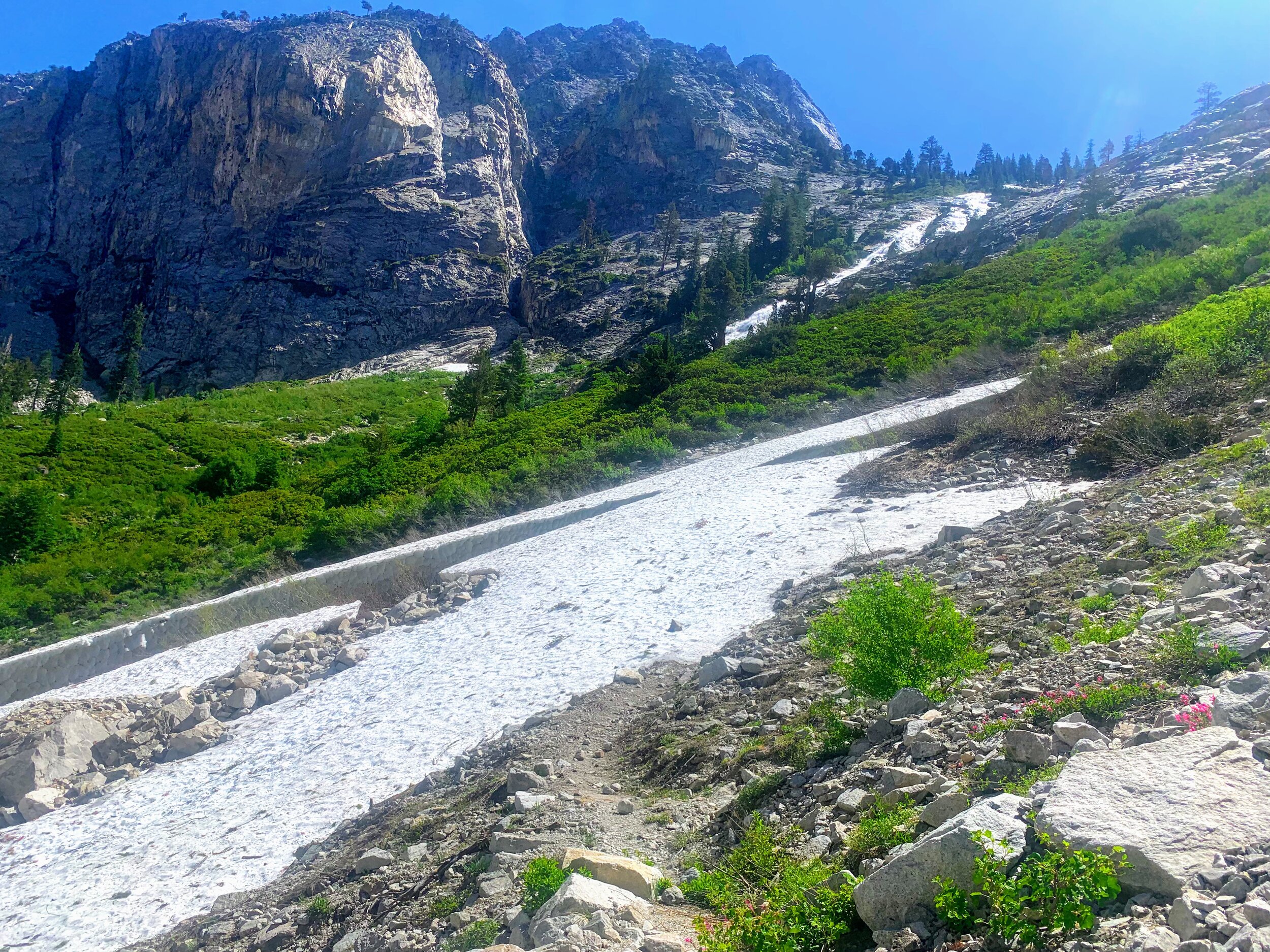
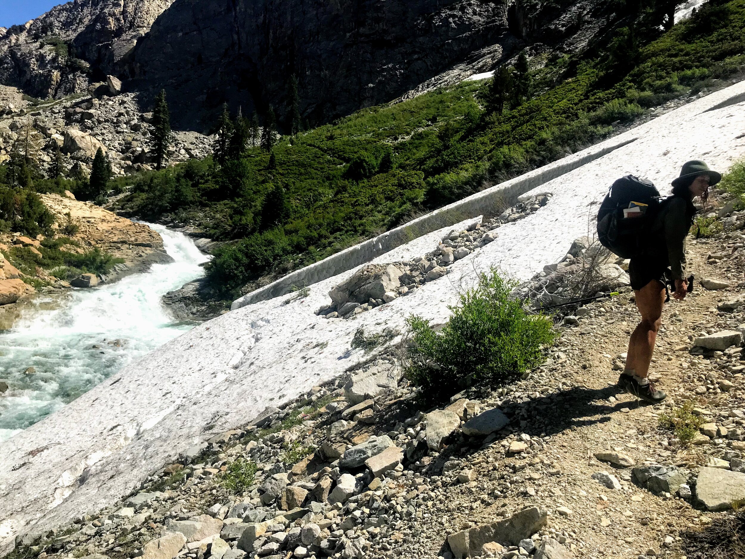
The climb over Granite Pass was fairly straightforward, no obstacles on the south side and just a bit of snow on the north side.
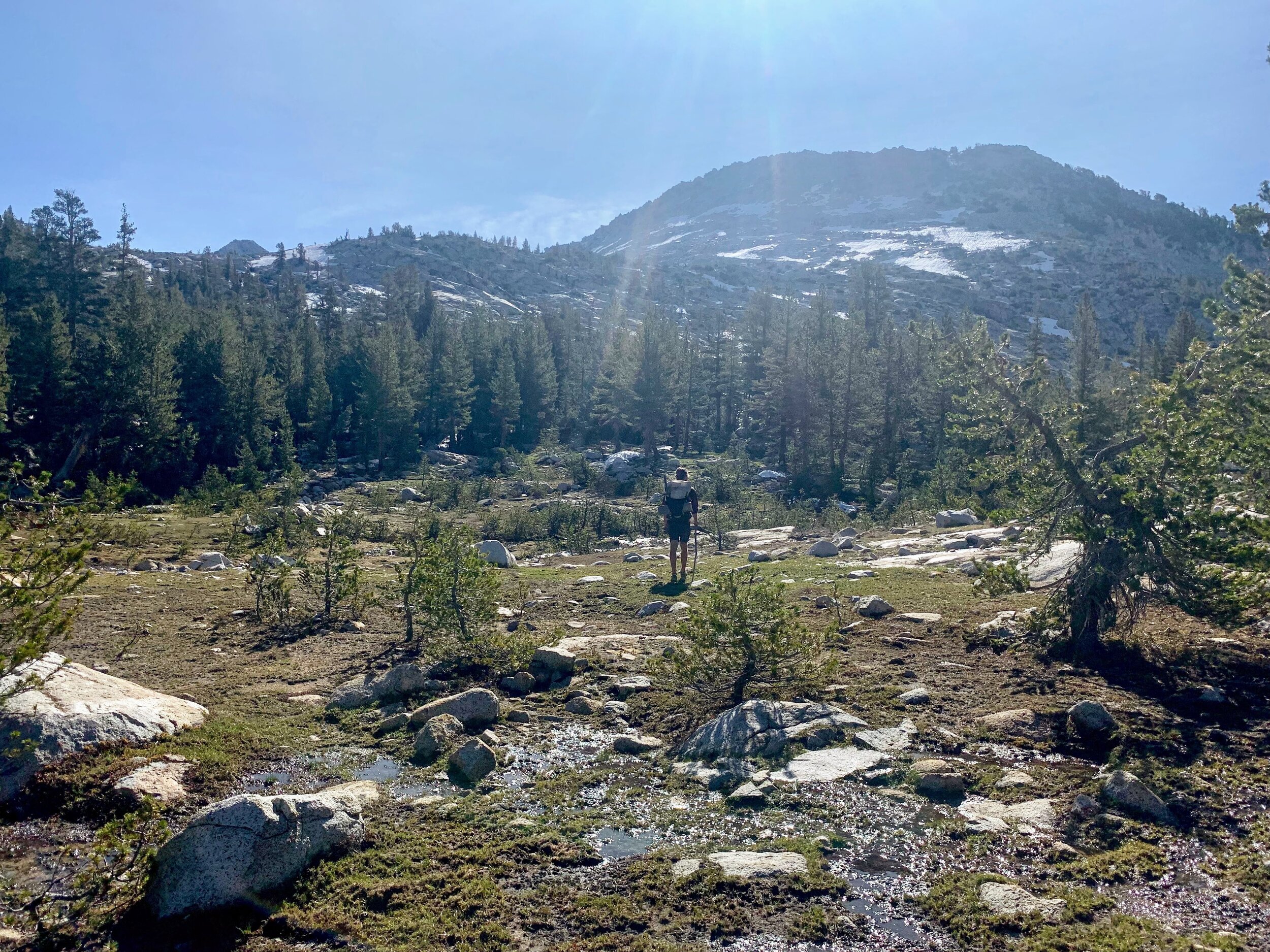
Along the descent we hiked several stream-filled meadows and into a peaceful forest of wildflowers, oaks, pines and lots of deer.


We turned a corner and suddenly a baby deer came skipping down the trail and nearly hopped into Cosmo’s arms. The deer was tiny with beige skin that was covered in freckles - it looked like it just bounced off the screen of a Disney movie. It took all my self control to not giggle and scream at how cute the deer was! We stood as still as we could to not scare the baby, or the mother who appeared shortly after. After a brief staring contest the mama and baby left the trail and hopped off into the woods.

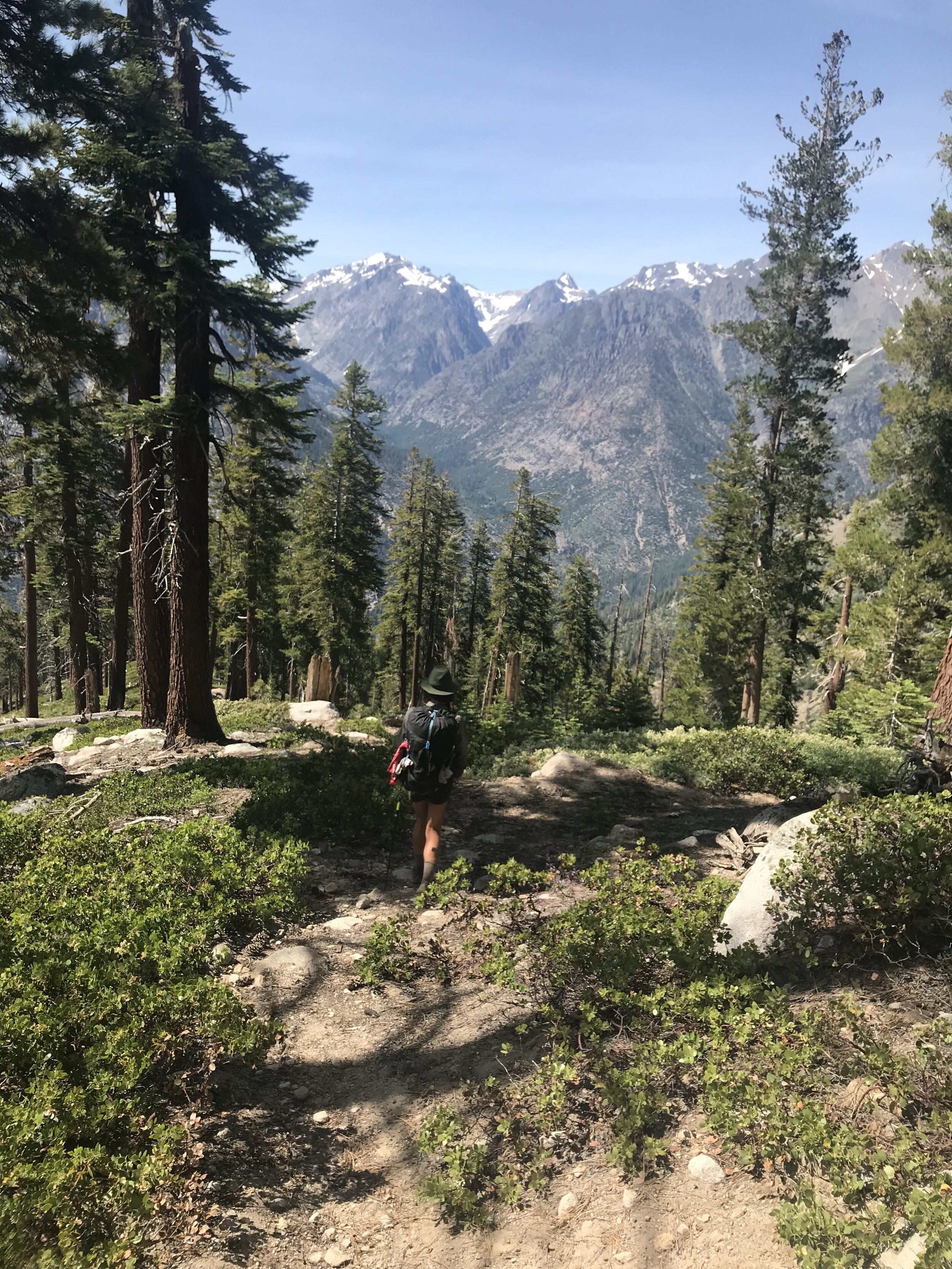
Leaving Granite Pass the trail meandered with gentle ups and downs, and the only main challenge so far has been the mosquitos. The relentless mosquitos. When I am hiking it isn’t so bad, but as soon as I stop they appear in droves - like zombies to flesh.
We hadn’t seen another hiker, besides two men the previous night in Granite Basin, until the afternoon when an older couple hiking towards us stopped to chat. They were headed north but had turned around due to several “impassable” obstacles. They were concerned and wanted to make sure that we were aware of the terrain ahead. They warned us of an impassable avalanche/ice chute up ahead and just beyond that, a dangerous water crossing. The couple had been out for a week and we were the first backpackers they have seen. They were excited to chat.
The information they shared was important and valuable. As they spoke I tried to pay close attention…but all I could focus on were the mosquitos who seized the opportunity to feast as the four of us stood still. I tried to follow the appropriate social cues, make eye contact with the speaker…smile when every one else smiles…laugh when everyone else laughs…look concerned when the tone of the conversation sounds serious…but the buzzing…and the biting..and the tiny dark specks flying in my face and in my ears and in my nose I could take no more.


“Wow!” Interesting".” “Alrighty then…” I replied while bouncing and swatting in place as I stood. I tried to make eye contact with Cosmo, to send him a telepathic message that we needed to move. He remained focused and attentive to the couple. I don’t know how he does it, I could take no more.
“Well, thanks for the info! I don’t mean to be rude but I can not handle even one more mosquito bite!” I glanced down at my legs that now looked like a map of bumpy red constellations.
We thanked the couple for their information and then continued our separate ways. Cosmo and I weren’t sure what to make of the warning. This was the first real report we had received about the conditions going forward; the young ranger at Cedar Grove had known nothing of these trails and was skeptical of our plan. It was concerning that whatever the couple saw was enough to make them turn around and retrace their steps on a three-day journey back to where they started at Cedar Grove.
We decided to continue, though cautiously, and assess the obstacles for ourselves. One step at a time.
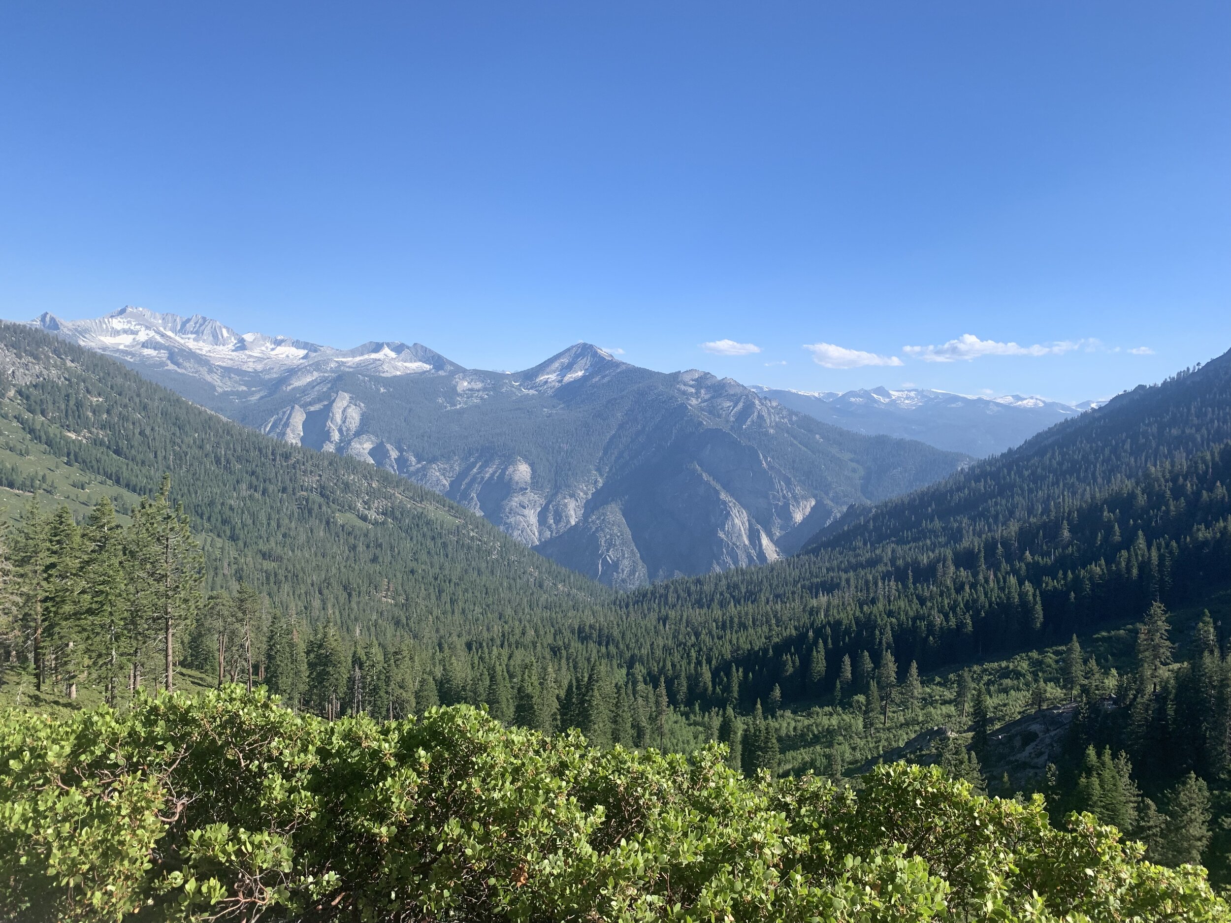
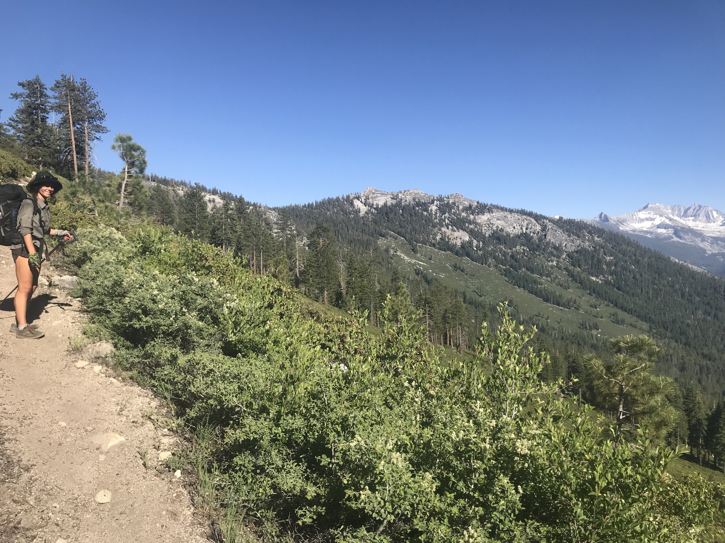
We reached a plateau overlooking the valley below and pause at the top to take in the scenery. These days it is rare to get the opportunity stare off in the distance at an obstructed view of nature and wilderness.
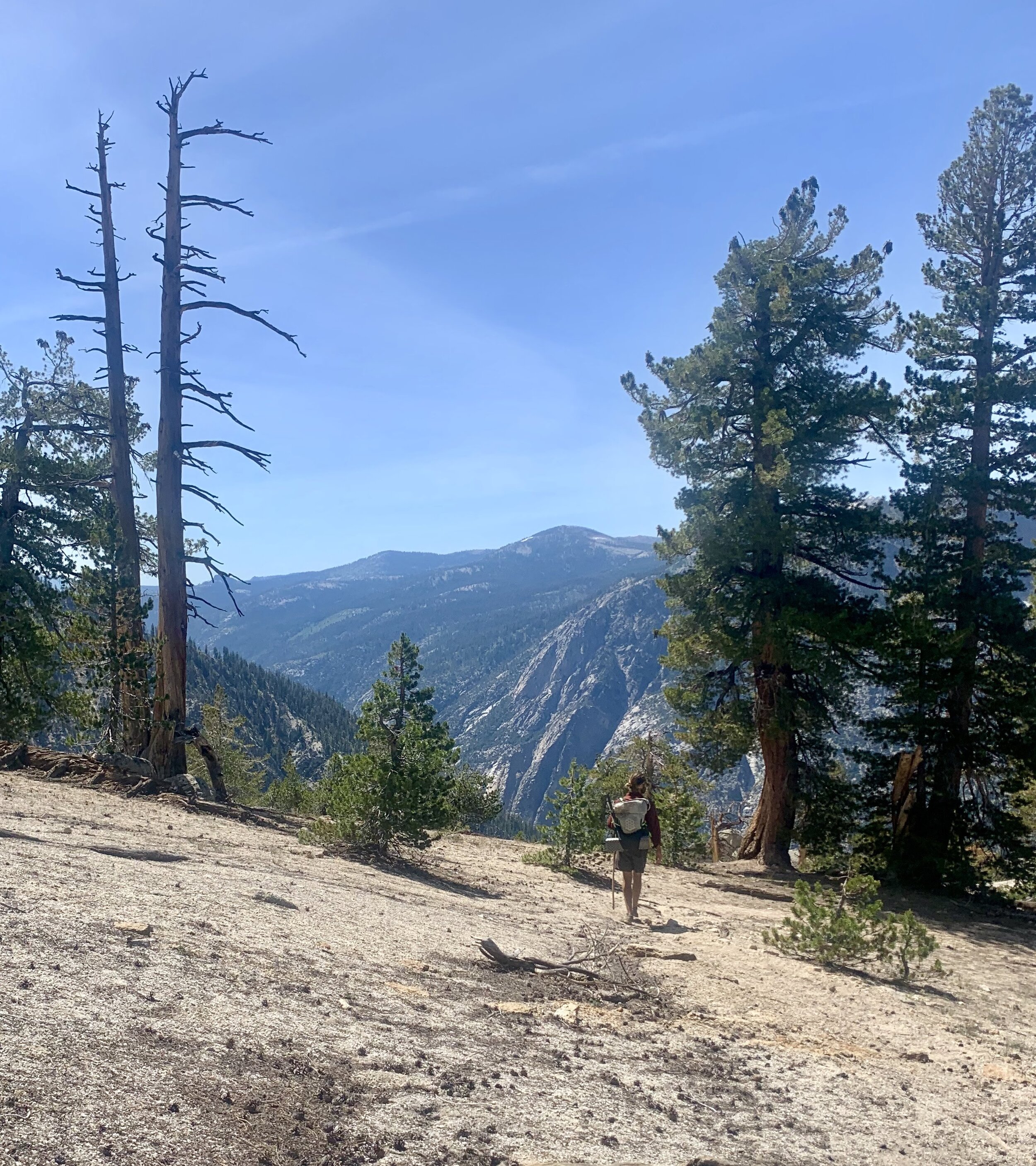
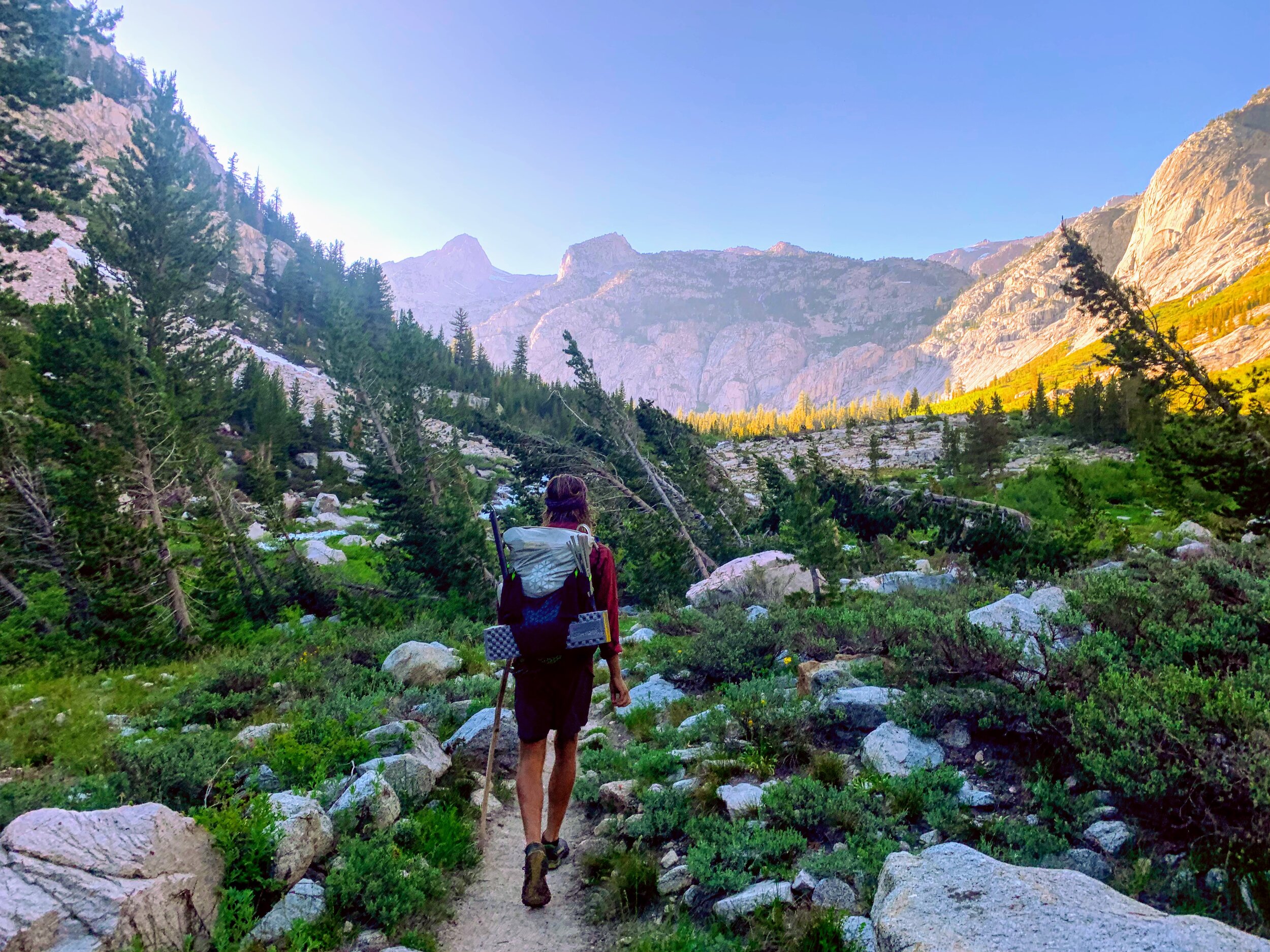
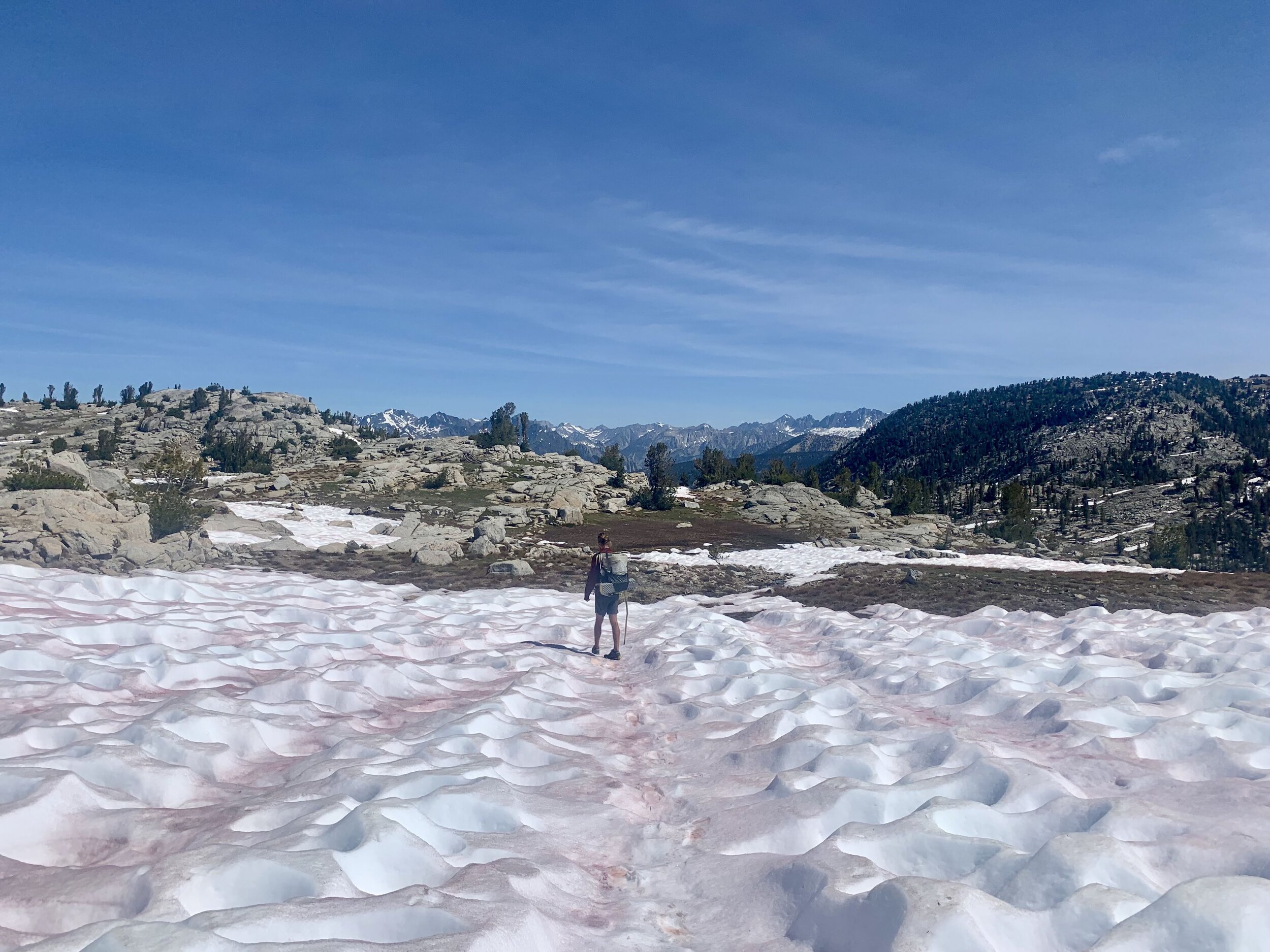
We follow the trail down towards Simpson Meadow. The route is unmaintained and the trail is steep, descending 4,000 feet in just five miles! For the last mile the trail has disappeared completely under patches of manzanita and scrub. We bushwhack our way to the bottom, while the sharp and coarse plants exfoliate the skin on bare legs.
Suddenly we see another hiker heading in our direction. He was one of two men we briefly passed while camping in the basin.
“Have you seen anyone on your way down?”
“Sorry man, we haven’t.”
“It’s been a few hours since I’ve seen Jordan, my buddy who I was hiking with. We got separated on the top of this climb and I figured I’d meet him at the bottom but I can’t find him anywhere. I was on my way to climb back up and keep looking.”
“Does Jordan have paper maps or GPS tracks on his phone?” I asked.
“No. He doesn’t have any navigation materials.”
“Does he have an emergency beacon?”
“No. I do.”
Zack (the hiker we were talking to) was wide eyed as he spoke to us. Losing sight of your hiking partner in the middle of the wilderness without any way to communicate is a frightening and helpless experience. You know the right thing to do is to stay still and wait, but when the body becomes still the mind starts running. “Should I stay at this meeting spot? Is this the correct meeting spot? Should I retract my steps? Will I get lost?”…the mental madness is distracting to say the least.
Cosmo and I felt like we weren’t much help either, there isn’t much that anyone can do in that situation. We told Zack that there was supposed to be a ranger station a couple miles up the trail, and that we would leave a note at the next trail sign in case Jordan is on his way there. We told Zack we probably wouldn’t be hiking much further this evening so if he can’t find Jordan he can camp with us. Zack made an attempt at a smile and let us know that he definitely might take us up on that. He clearly didn’t want to be alone, and we didn’t blame him.
Once again, this is a reminder of how important it is to maintain strong communication with whoever you are hiking with and for both people to have some form of navigation and a satellite safety device.
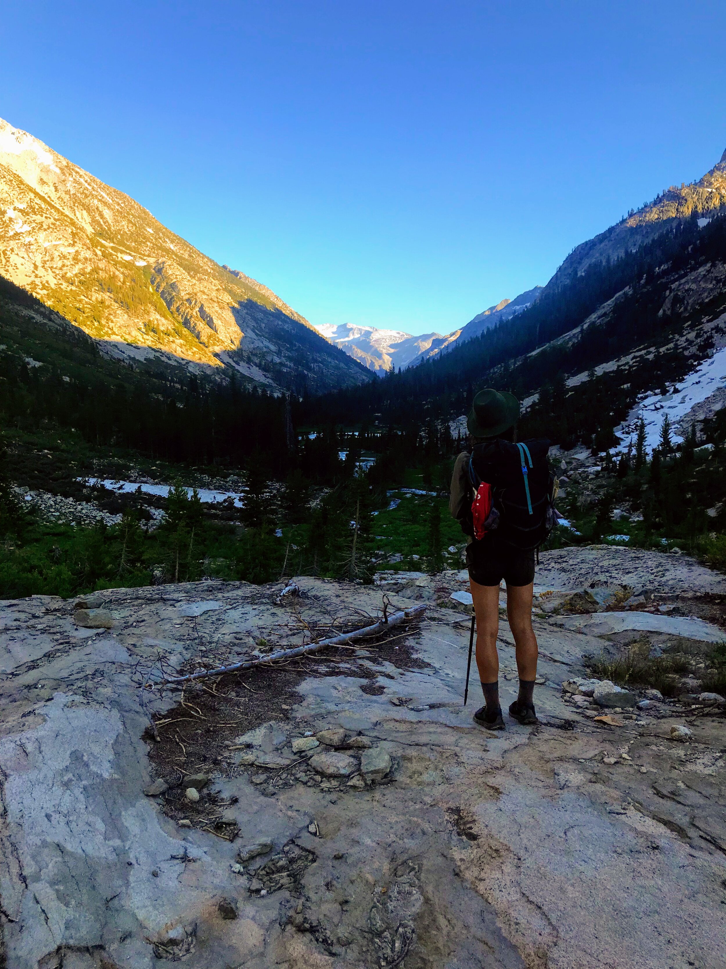
We are relieved to reach flat ground and find an actual trail.

We reach a trail sign and write a note for Jordan and Zack. We wait for a few minutes wondering if Zack might have turned around to follow us. We look up at the dense hillside we just descended hoping to catch a glimpse of Jordan. Nothing.
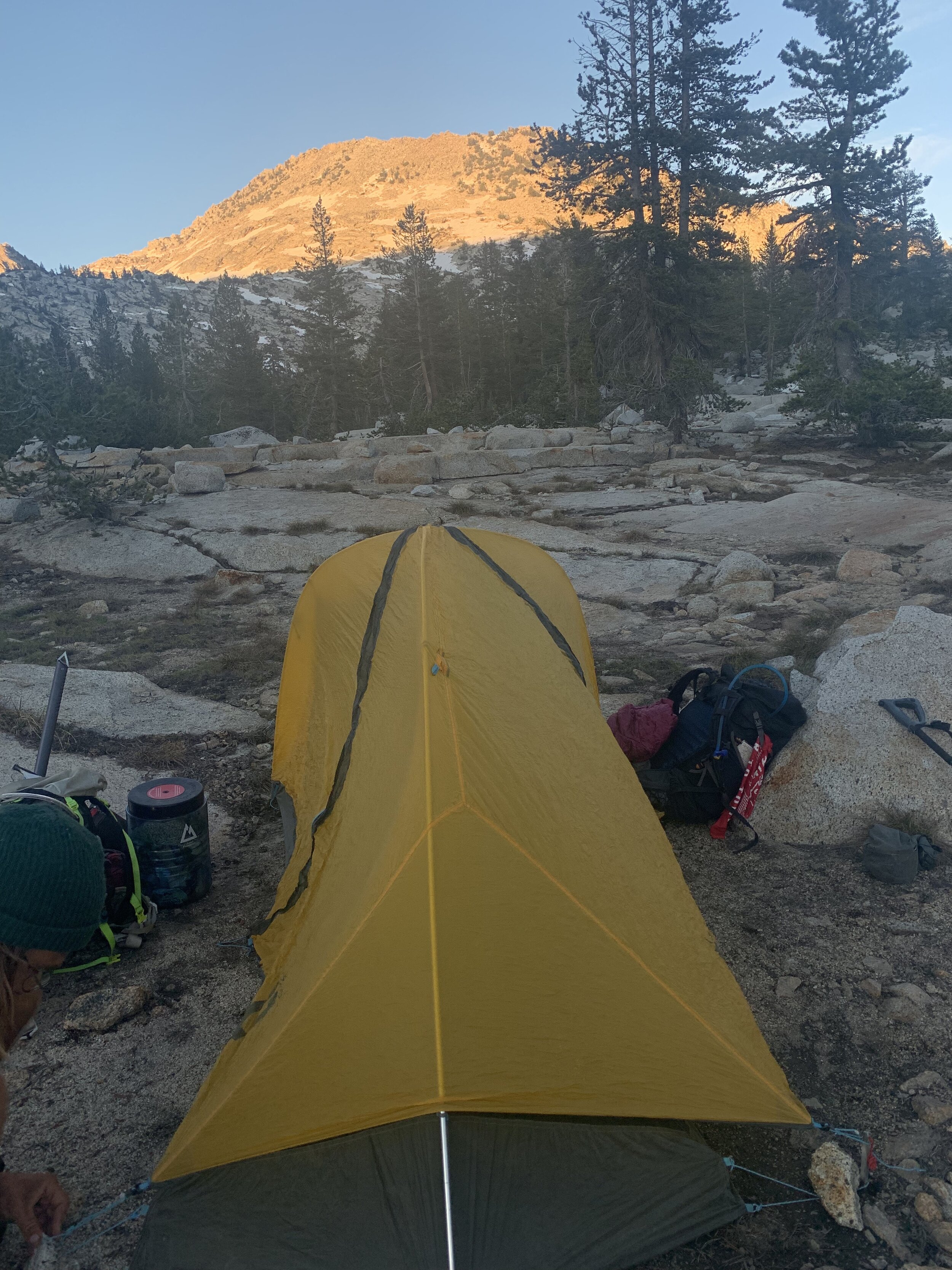
We camped next to the Kings River. All summer Cosmo has been coaching me on how to build a fire. Our evenings next to the fire have become a welcomed routine and a nice reprieve from the mosquitos. Tonight I was proud to build the fire by myself!


July 18th, 2019 - (Palisade creek crossing day)
Simpson Meadow to Devils Washbowl to Pacific Crest Trail
Miles: 17 Elevation Gain: 4,322
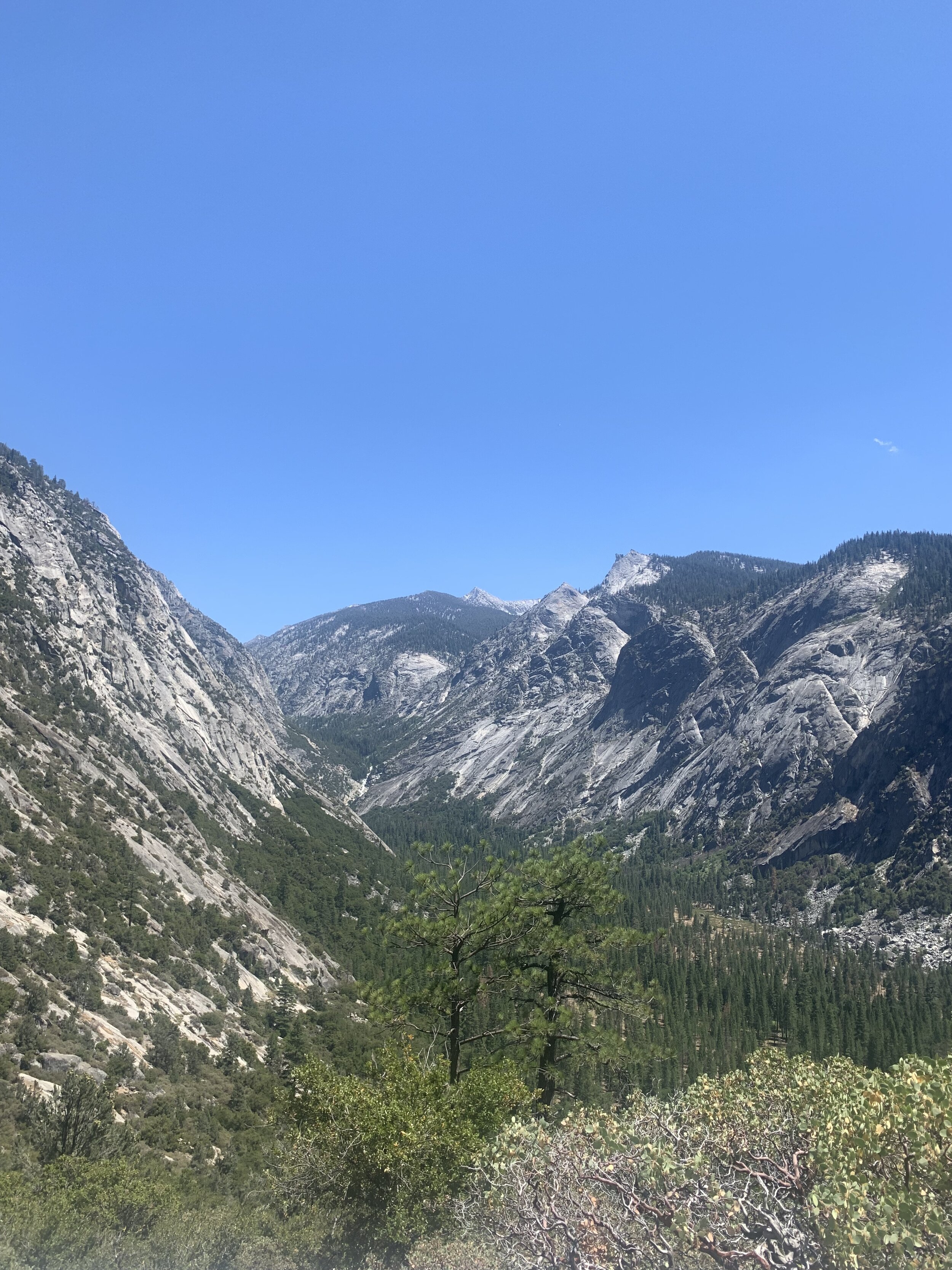
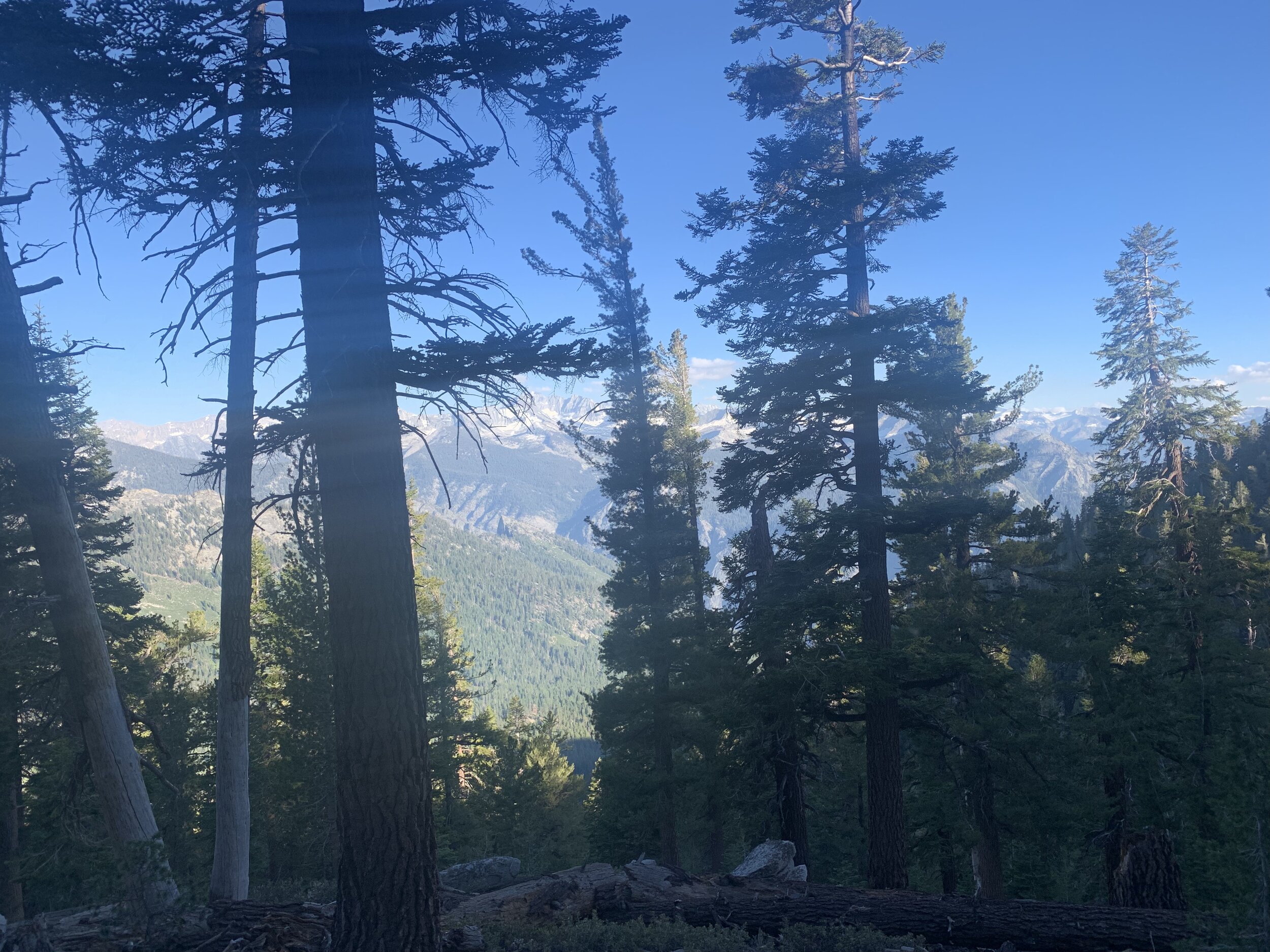
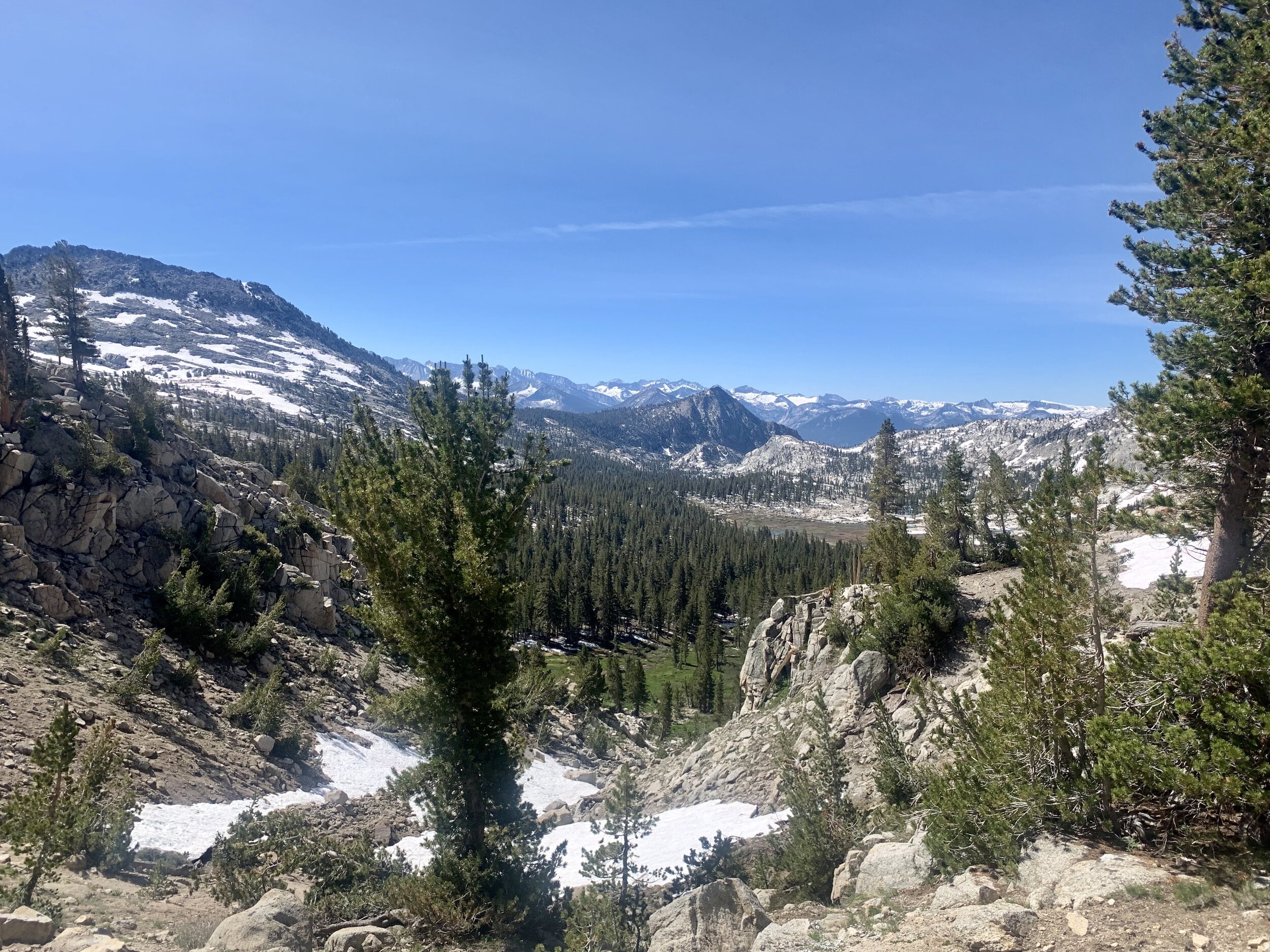
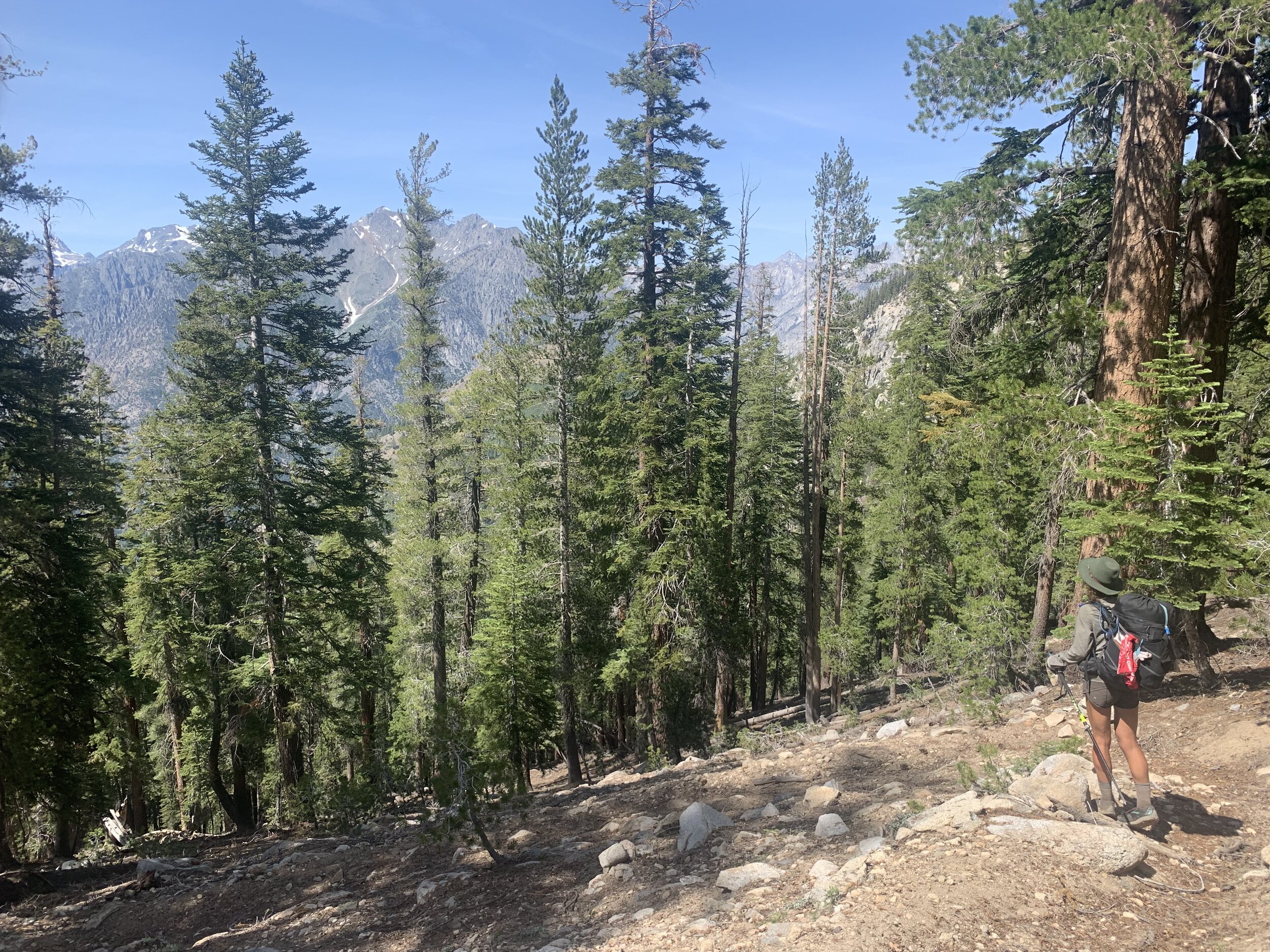
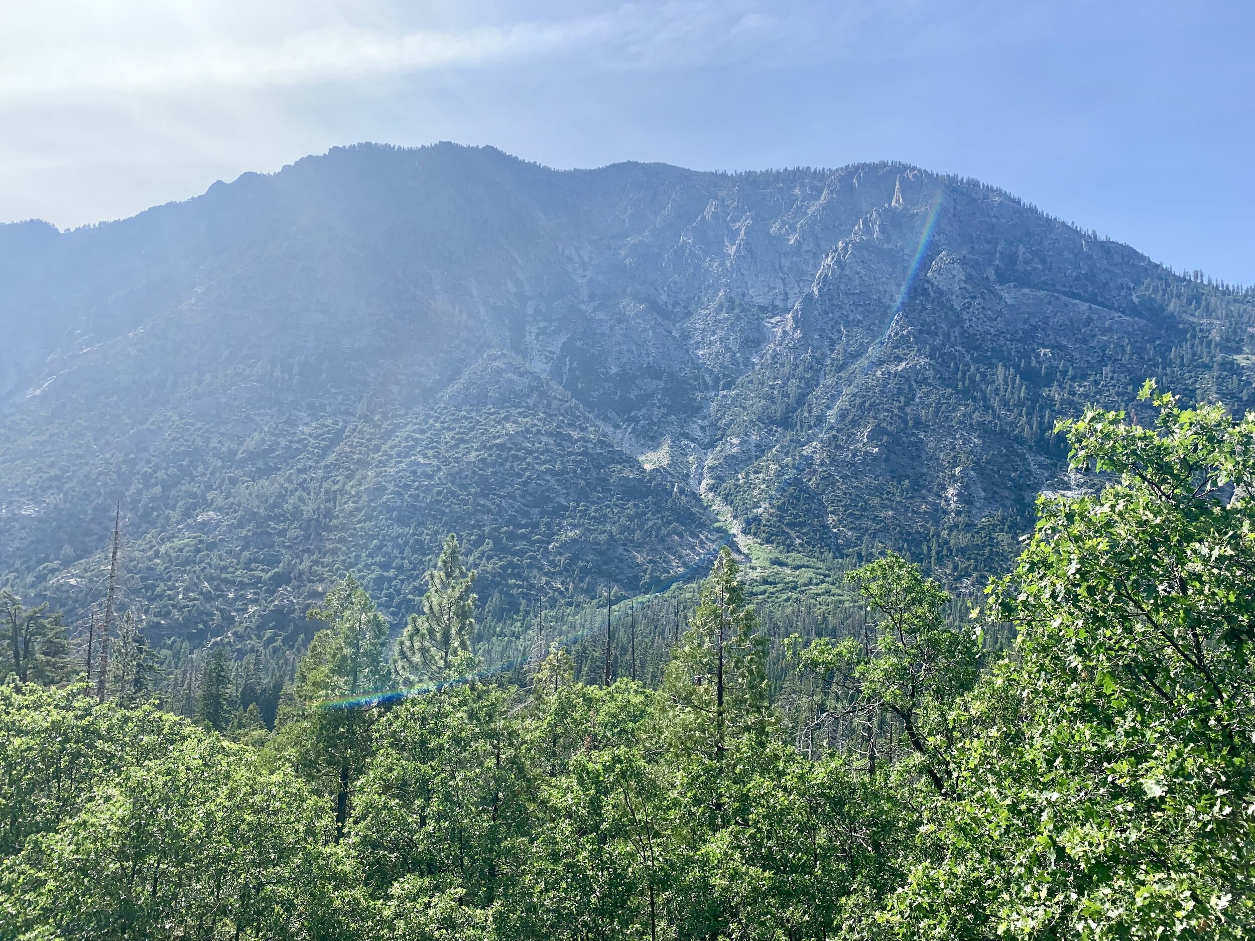
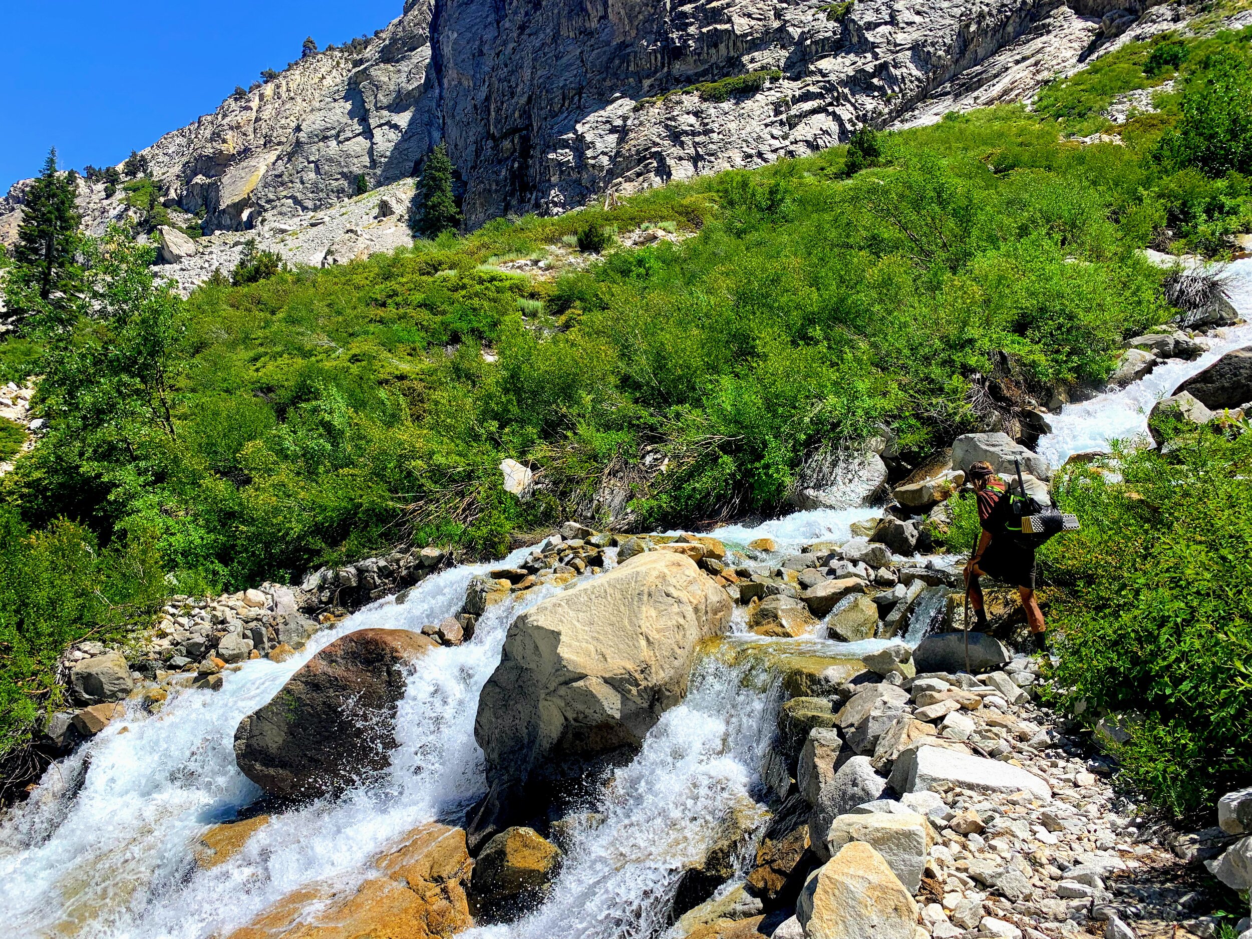
We hike along the gently graded Middle Fork Trail enjoying the great views of the Kings River.
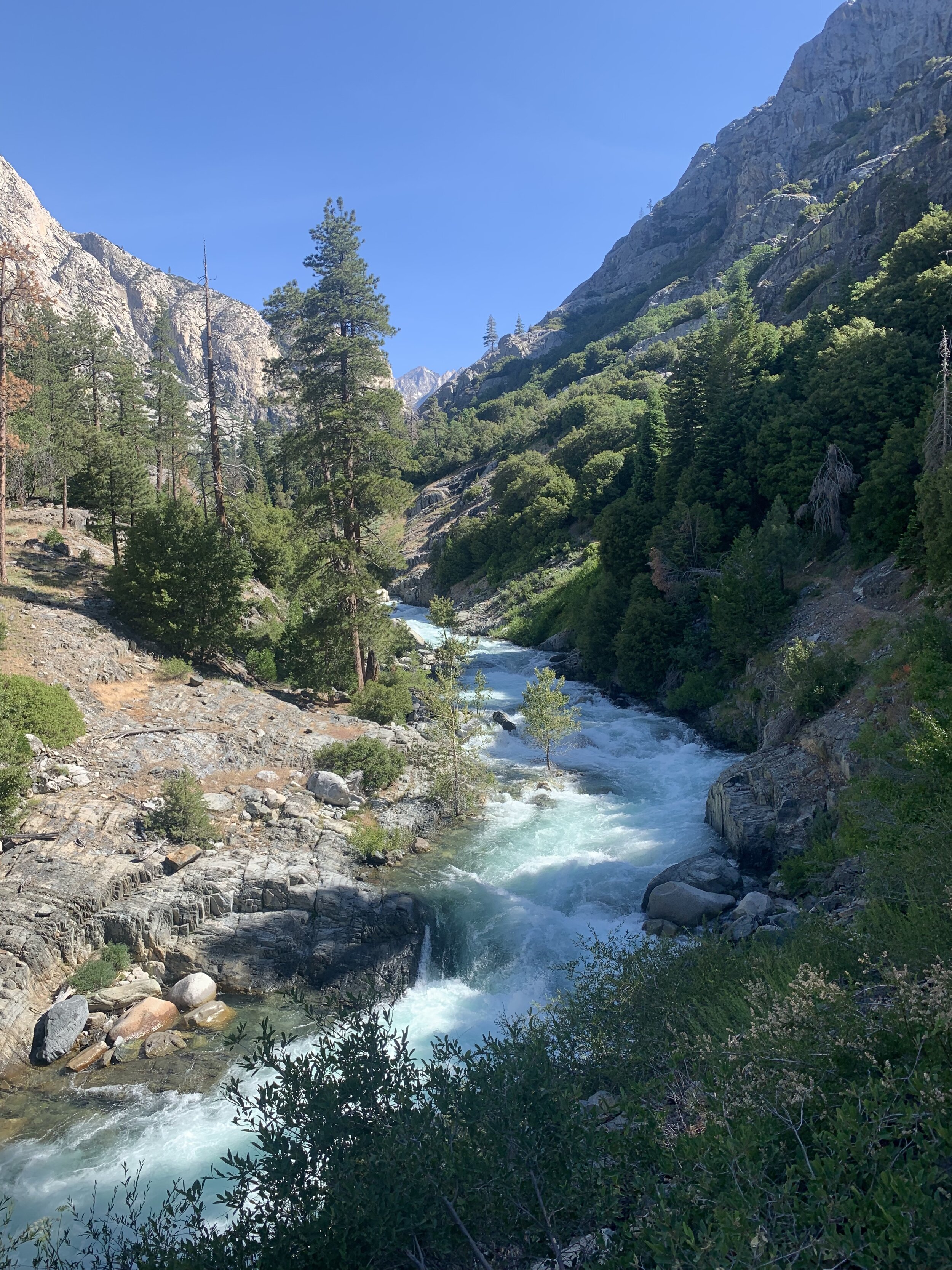
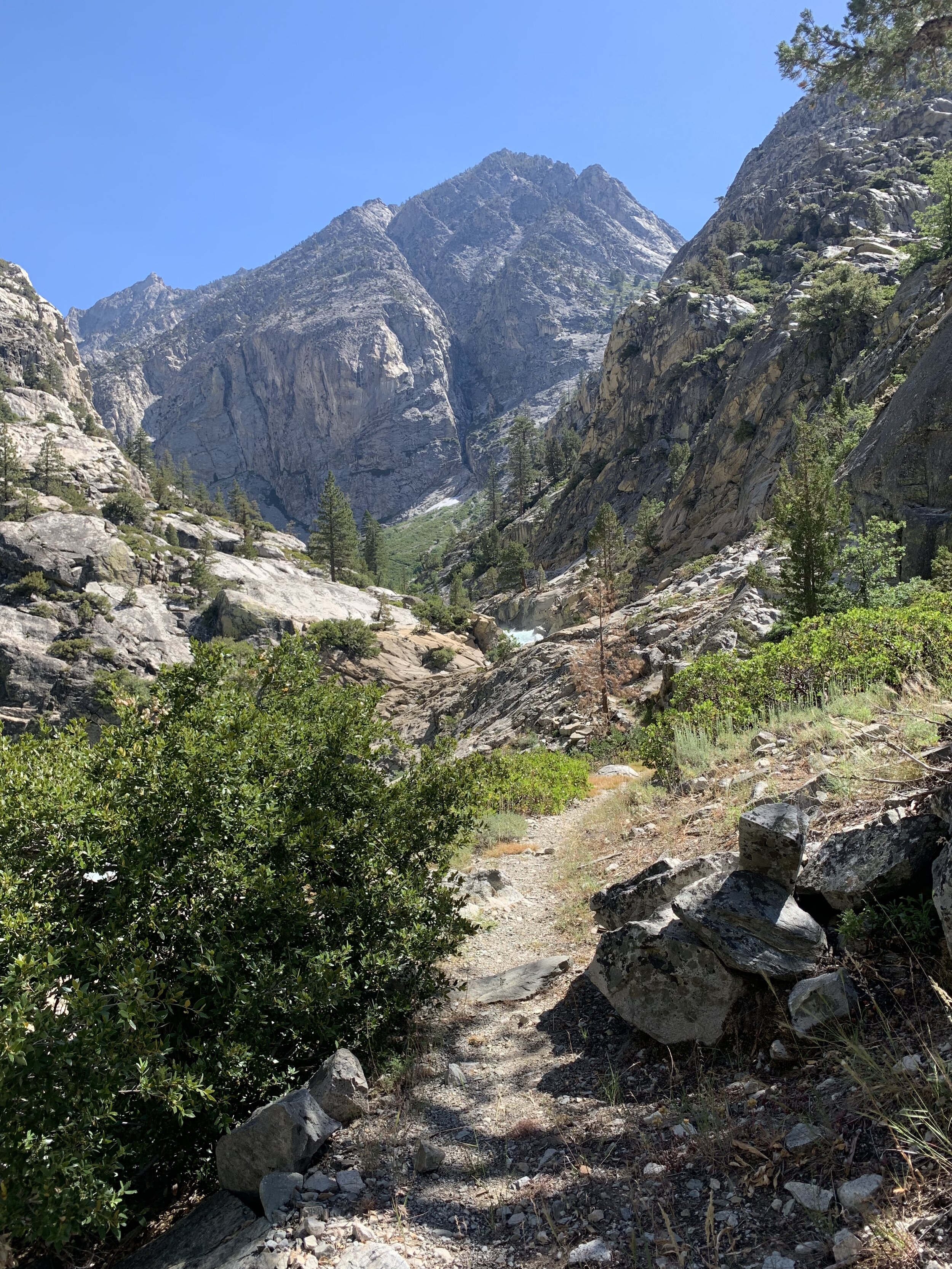
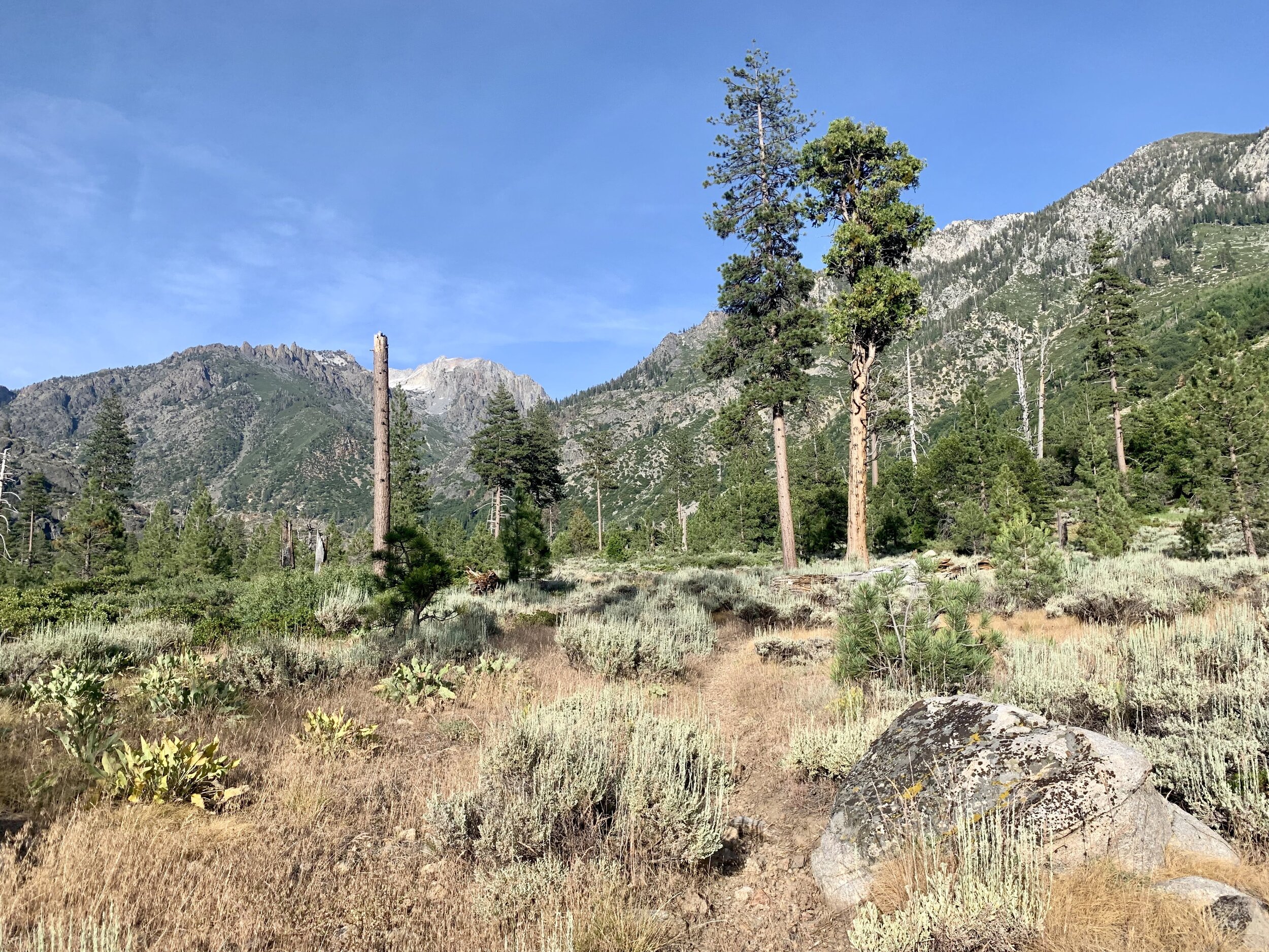
This is a much more desolate part of Kings Canyon National Park and the trail is obviously minimally maintained with several sections overgrown with brush.
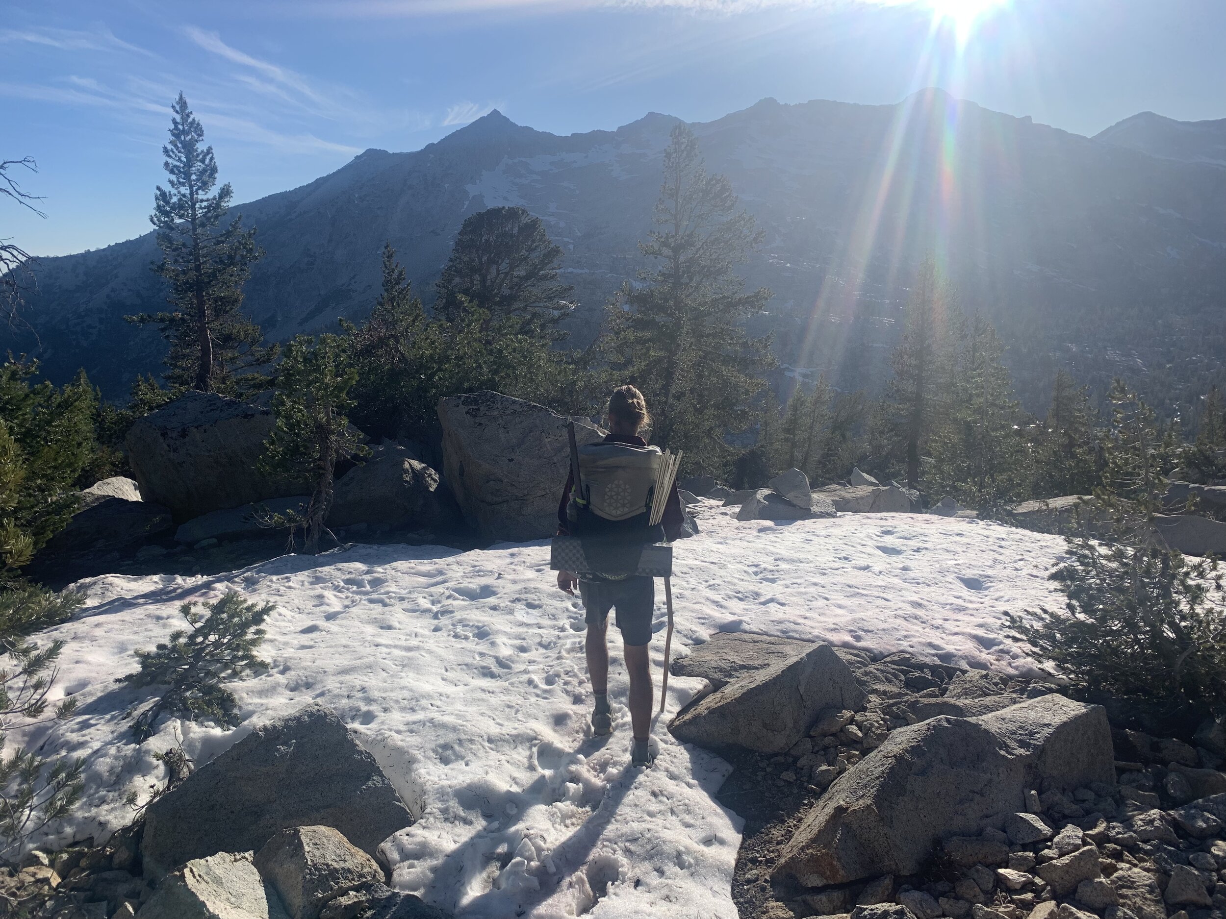
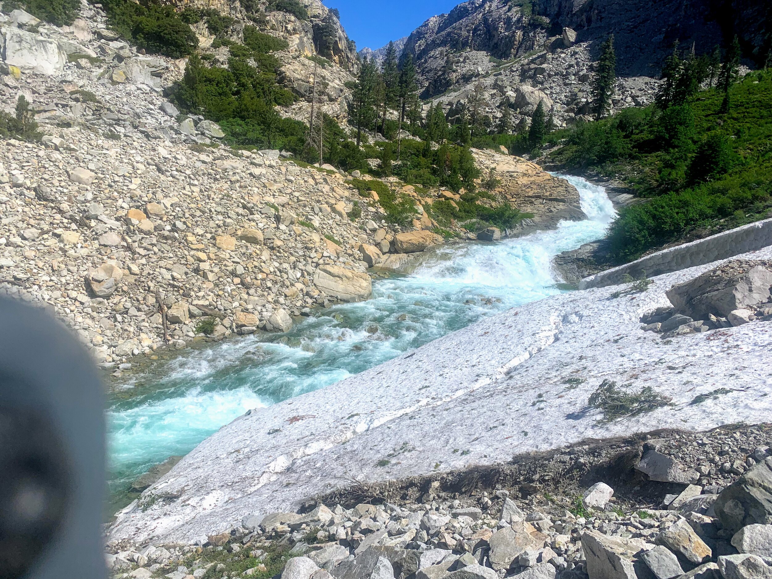
Our eyes widen when we reach the anticipated “impassable” avalanche covering the trail. I understand why the couple turned around. The avalanche is large and the slope is steep - one bad step and it would be easy to fall and get quickly swept away by Kings River.
Cosmo and I pause to assess the situation. We want to be thoughtful in our decisions and clear in our communication with one another. In these situations it is important to stay aware of your comfort level as well as your skill level. Cosmo and I would not continue on in a situation that we felt unequipped for.
Our options are simple, cross a snow bridge over the avalanche or scramble up and away from the trail and find a path around the snow. The snow bridge is the most straight forward but it is risky. We don’t know how soft the snow is and one bad step could shift cause the sheet of snow and ice to slip and slide taking us down into the raging river below.
We decide to scramble up and over the windy cliffs and talus slopes to get above the snowy patch and then make our way back down to the trail via a prickly cross country bushwhacking route.


The re-route took up significant time in the afternoon and we were ecstatic when we made it back to actual trail.
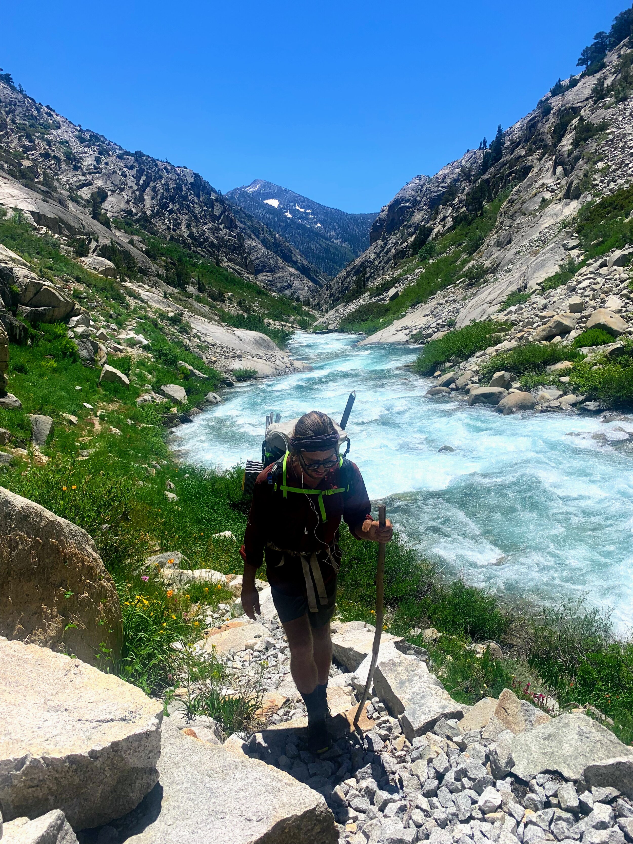
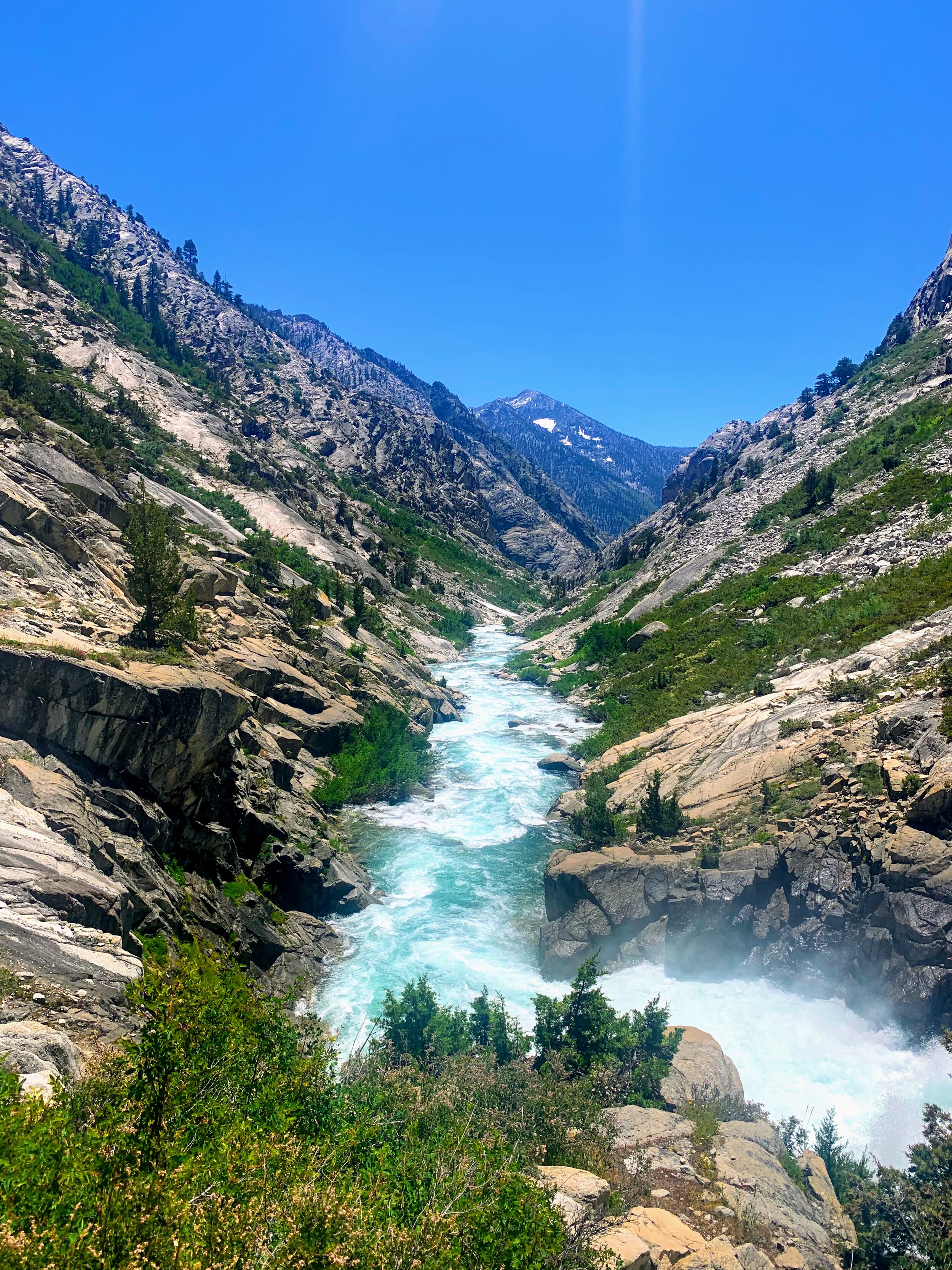
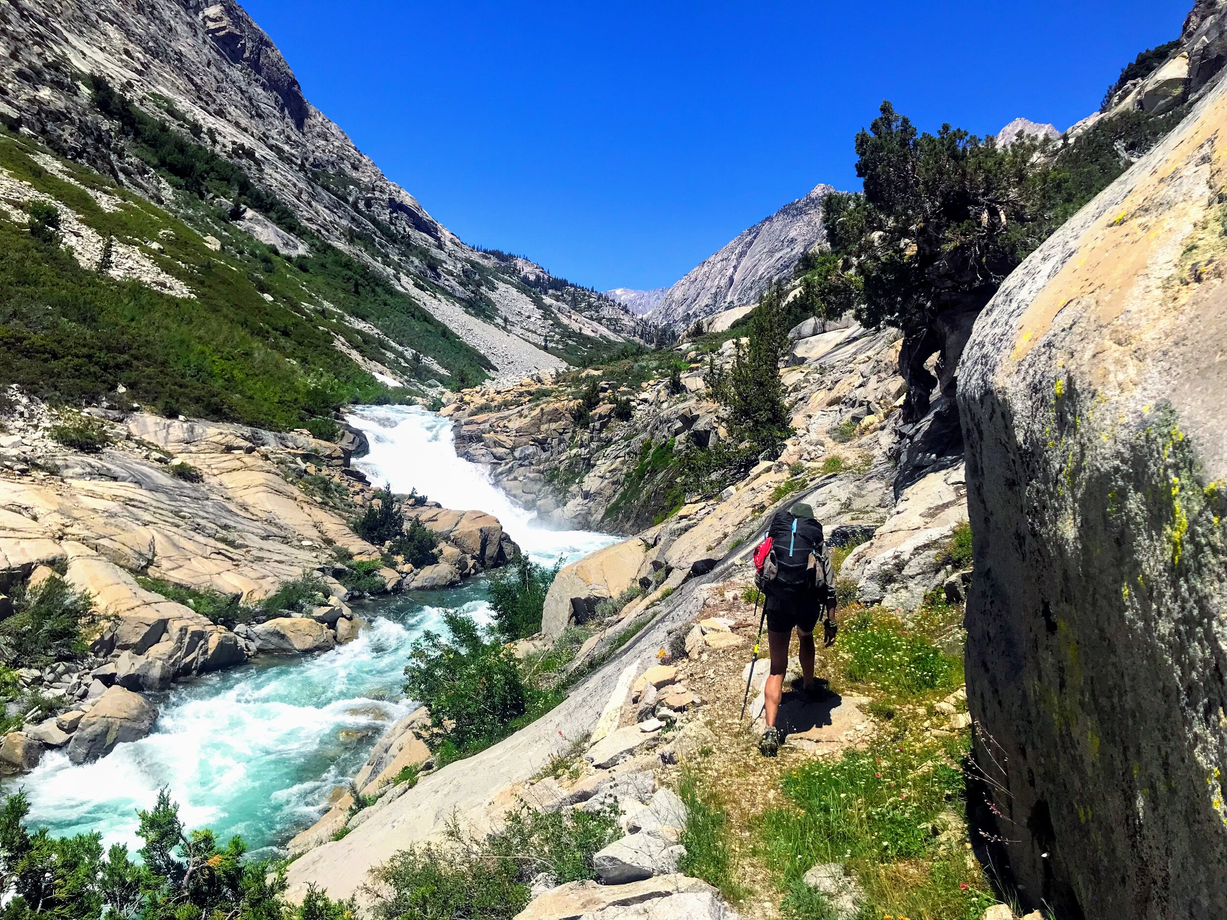
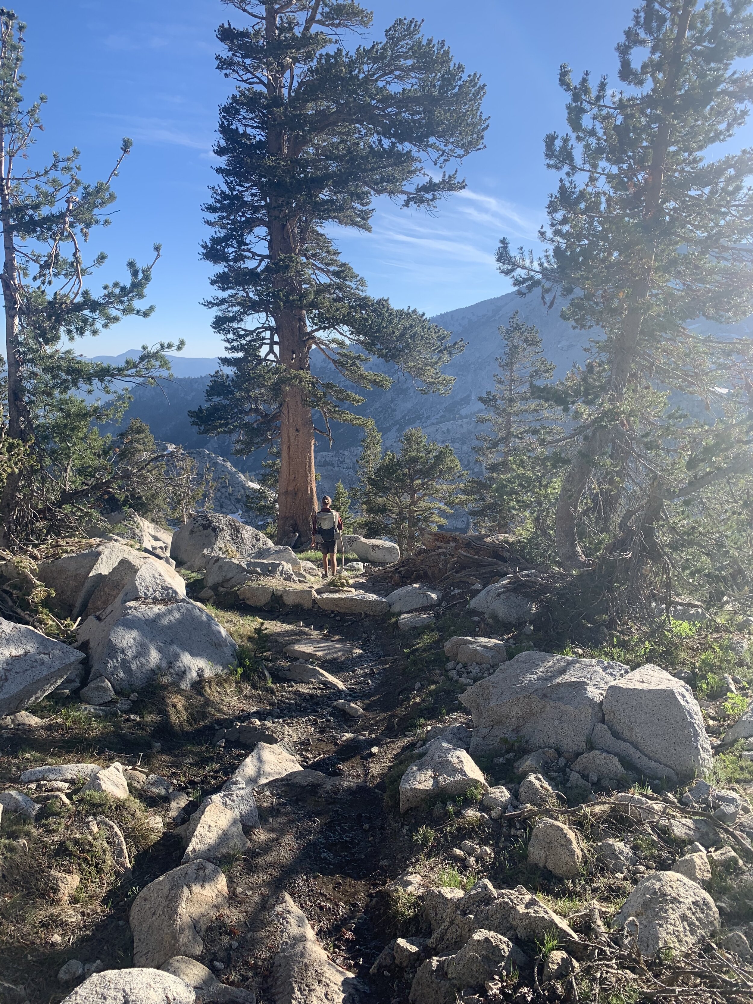
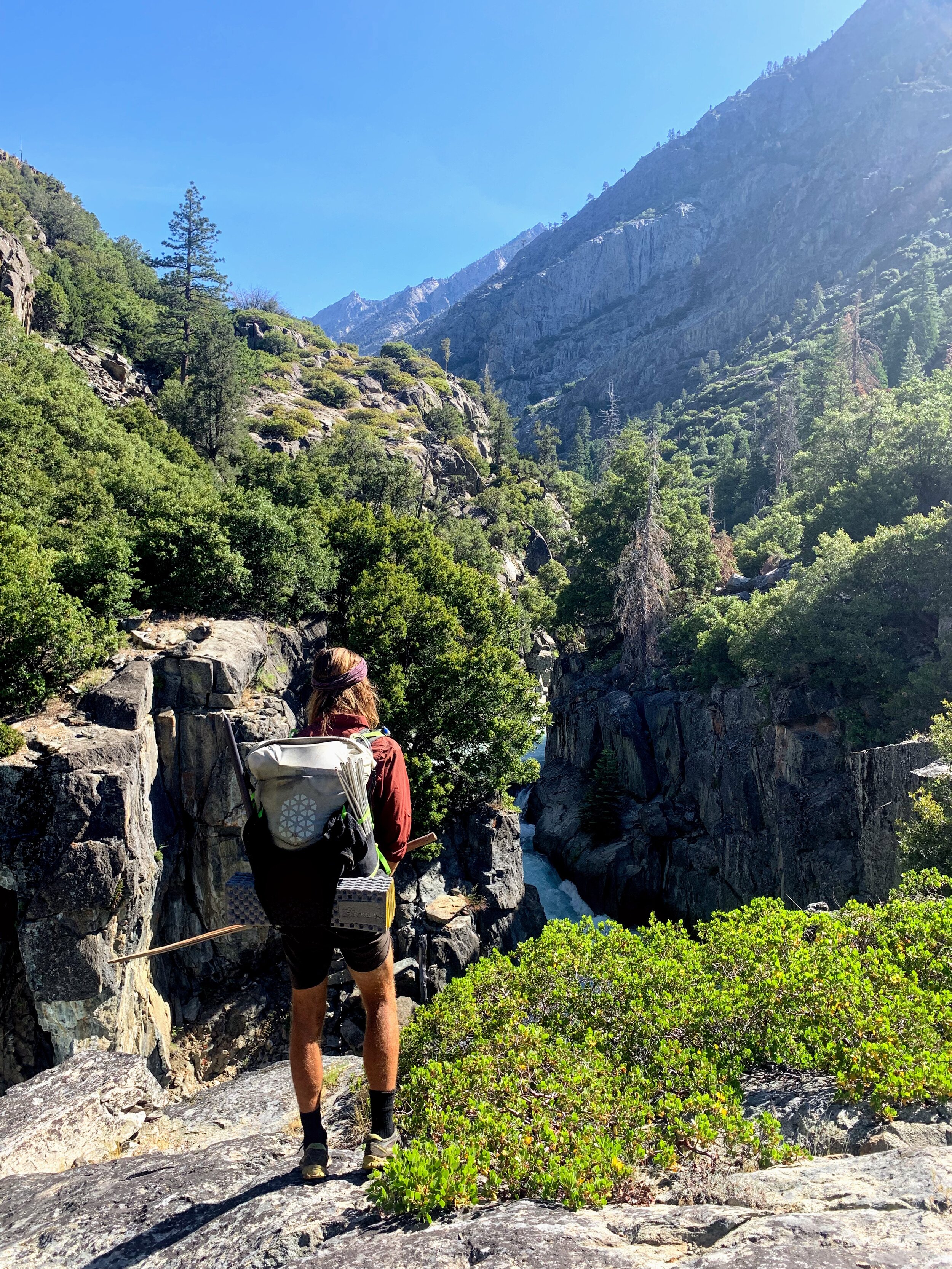
We cross Cartridge Creek and continue to climb through the narrow rocky canyon.
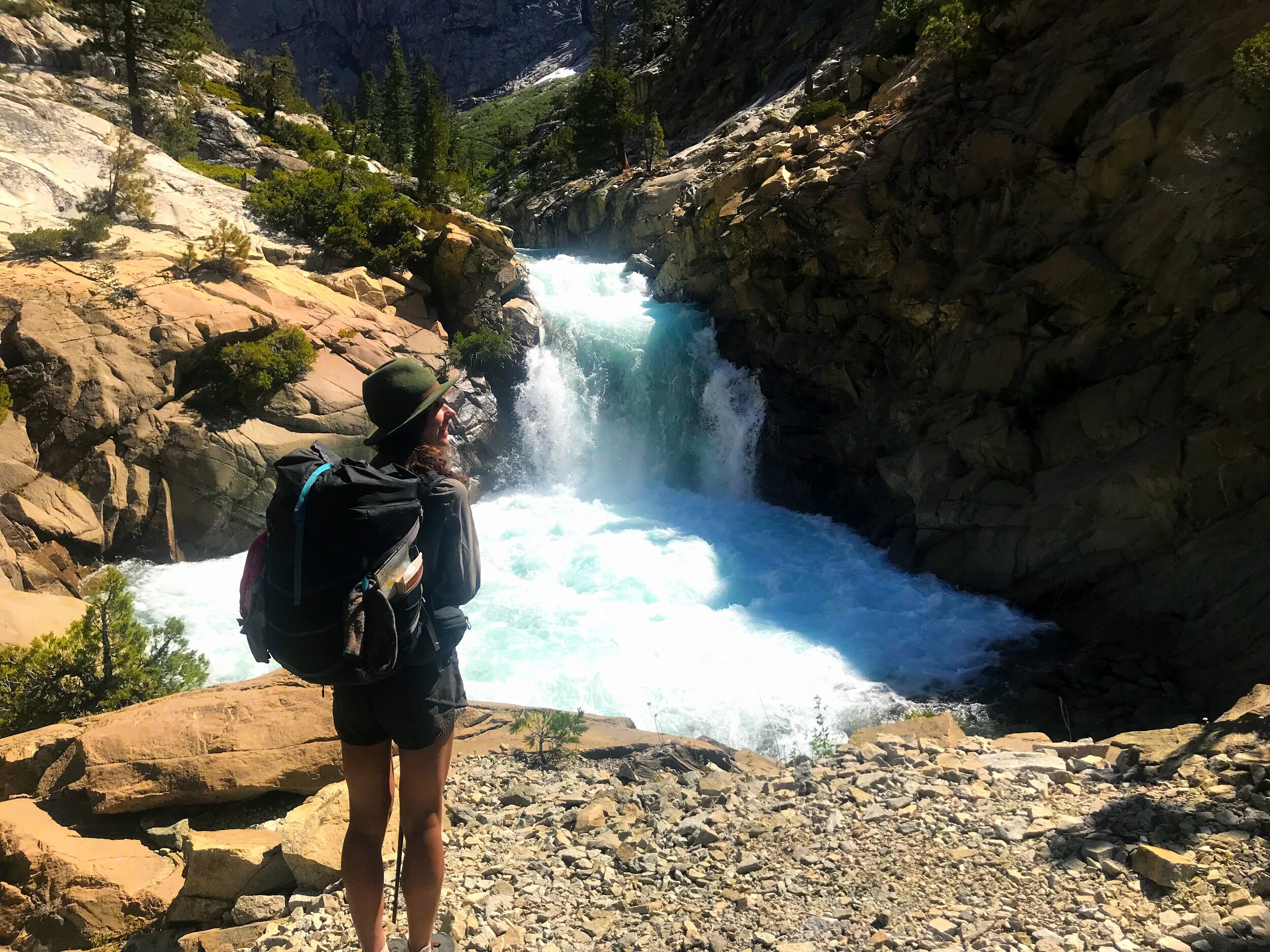
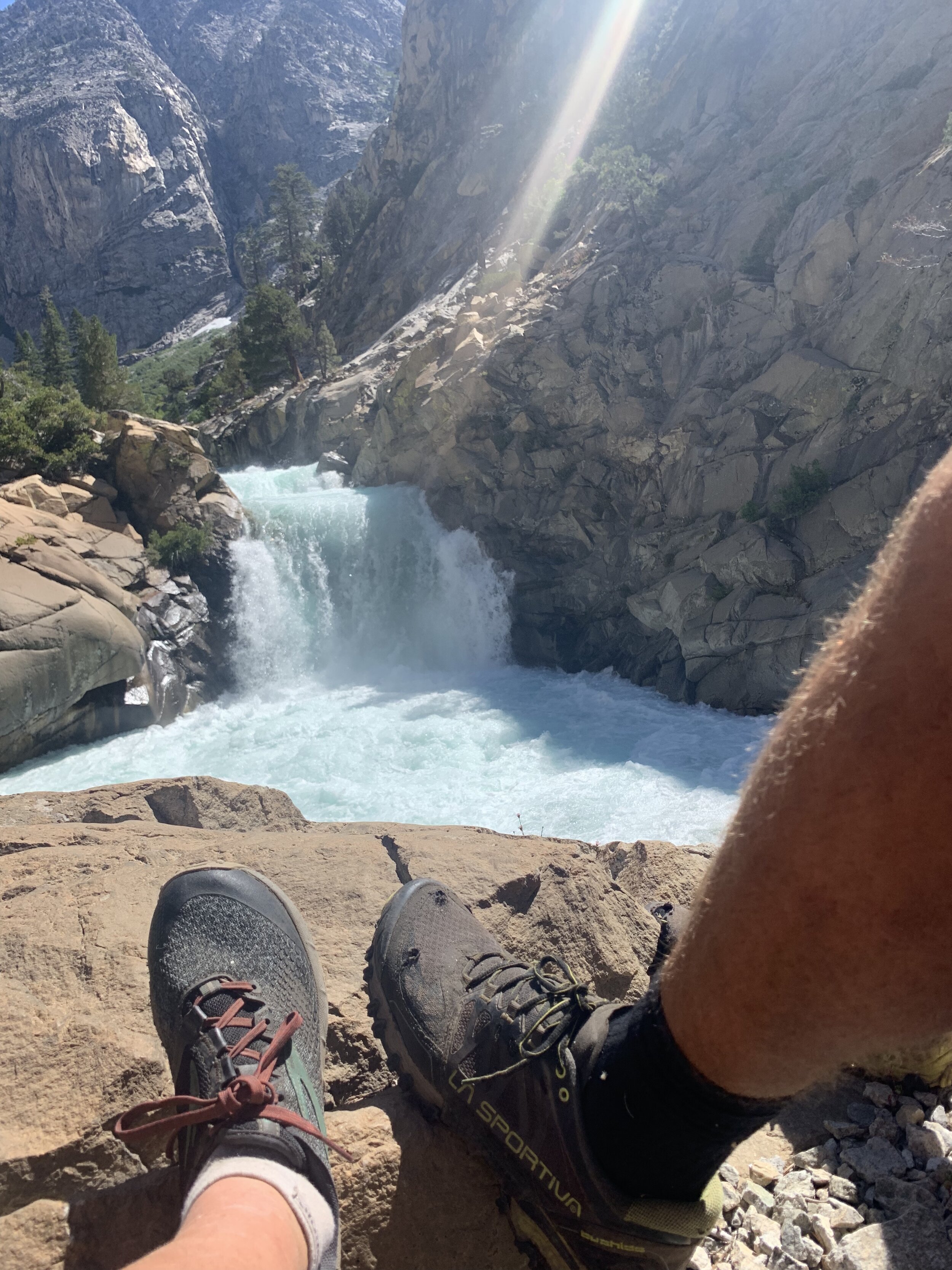
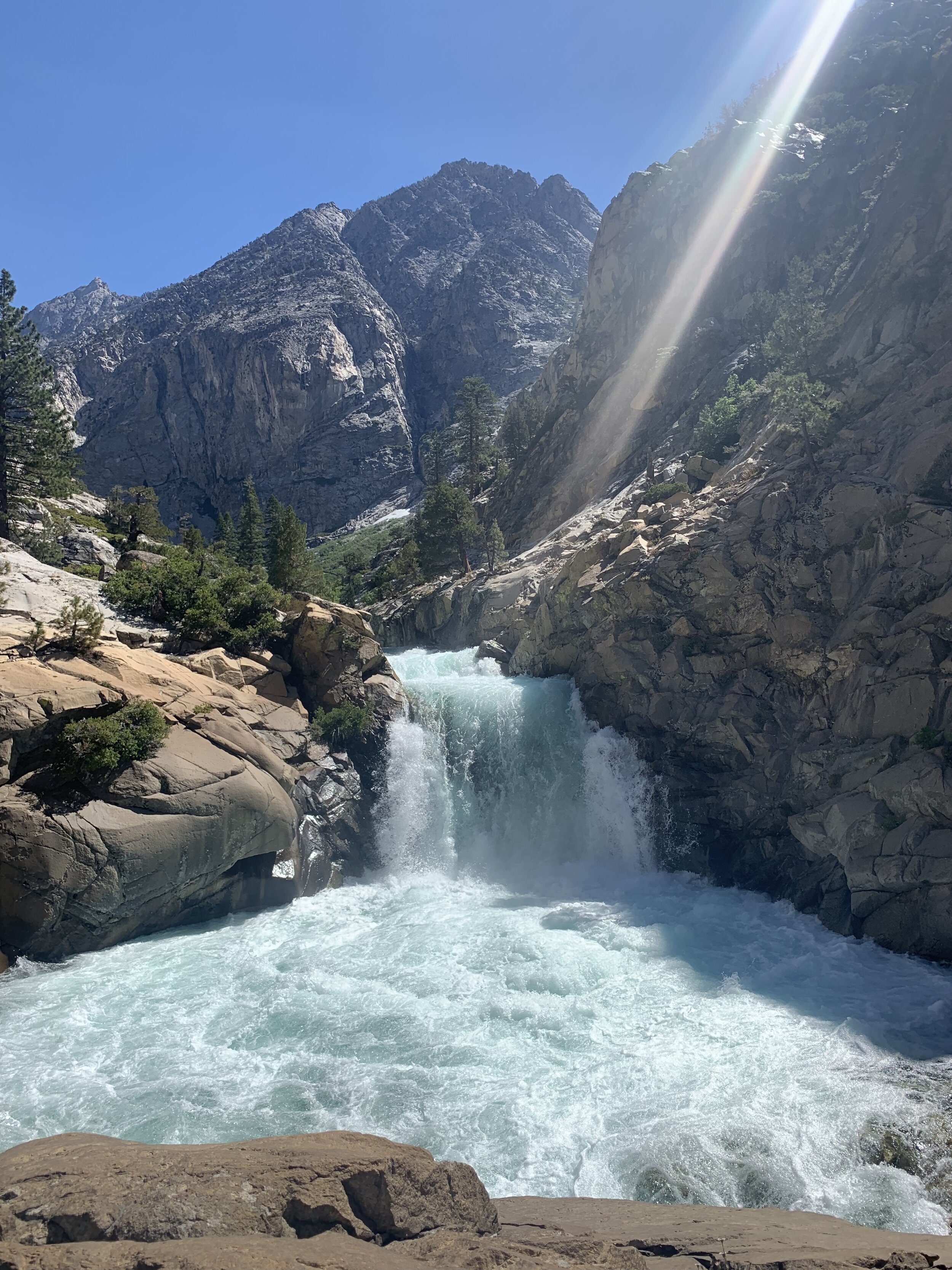
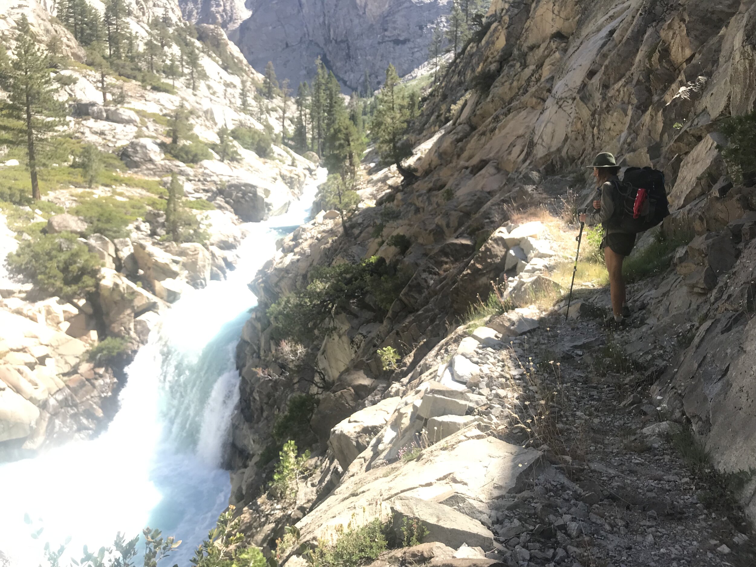
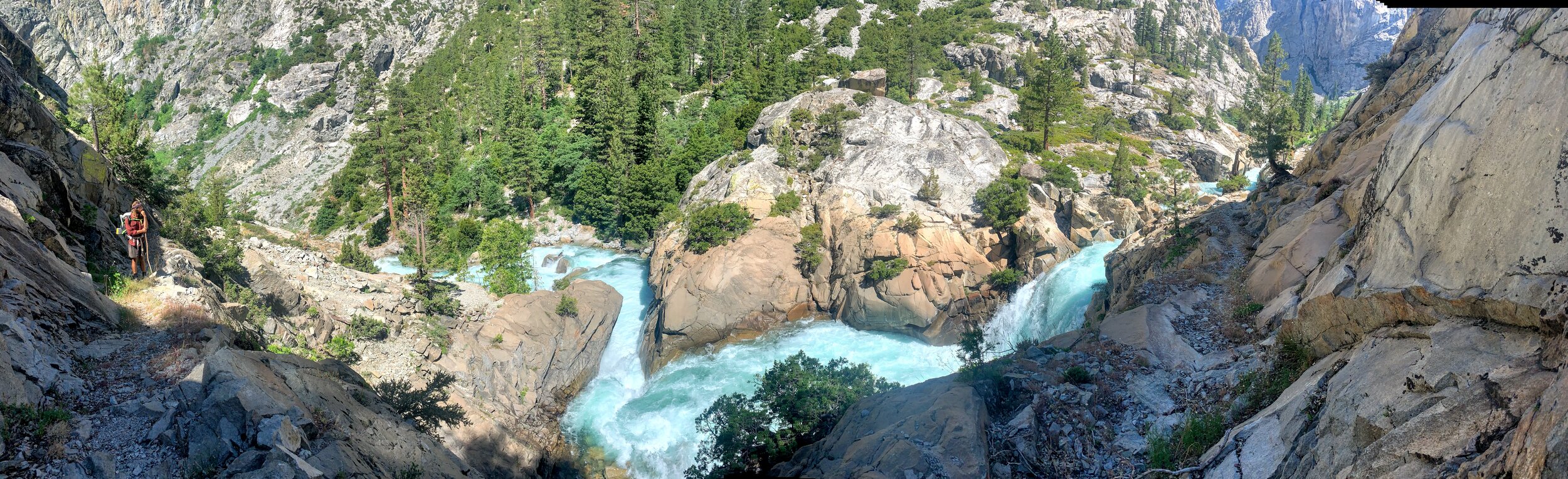
A set of switchbacks leads to a flat area looking out at the Devils Washbowl, a wild waterfall, swirling around in a granite tub.

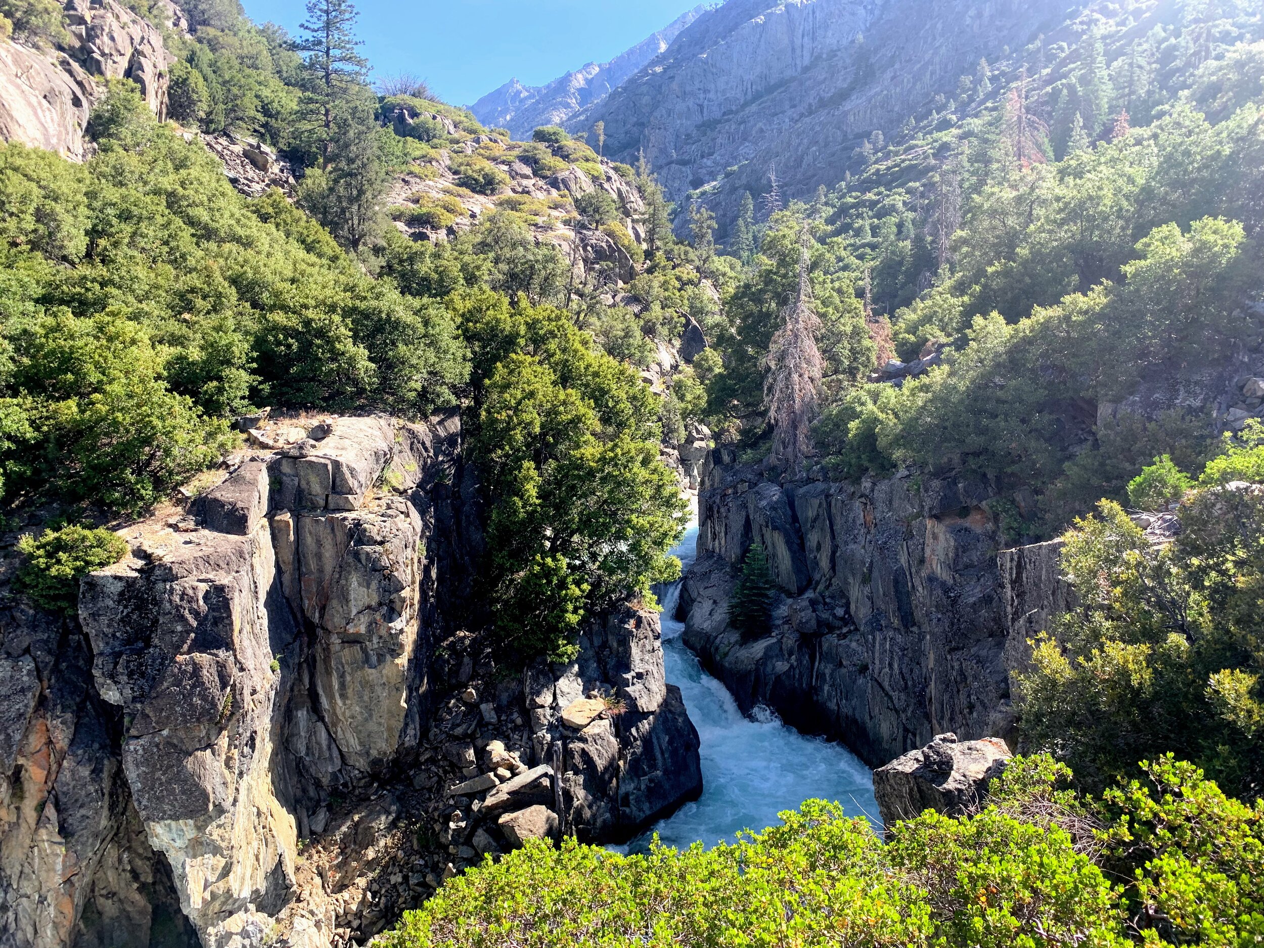
We reach Palisade Creek and see the juncture of the PCT/JMT on the other side of the raging rapids. The creek was flowing fast and strong, and it was impassable. We hiked over to the broken steel bridge and stood on a small ledge looking across the droopy pieces of large rusted metal. The bridge was no longer in tact. Actually, there really was no more bridge to speak of.

Now what?
We were mentally and physically drained from the obstacles we’d already overcome today and this situation seemed daunting. We hesitated for a few more moments trying to find any spot that might seem crossable from where we stood. Anywhere we looked there was raging white water.
We gave in and climbed the hillside staying parallel to the creek, bushwhacking through shrubs and maneuvering up and around fallen trees and branches. About a mile up the trail we are able to cross the creek with the help of each other and two fallen logs.
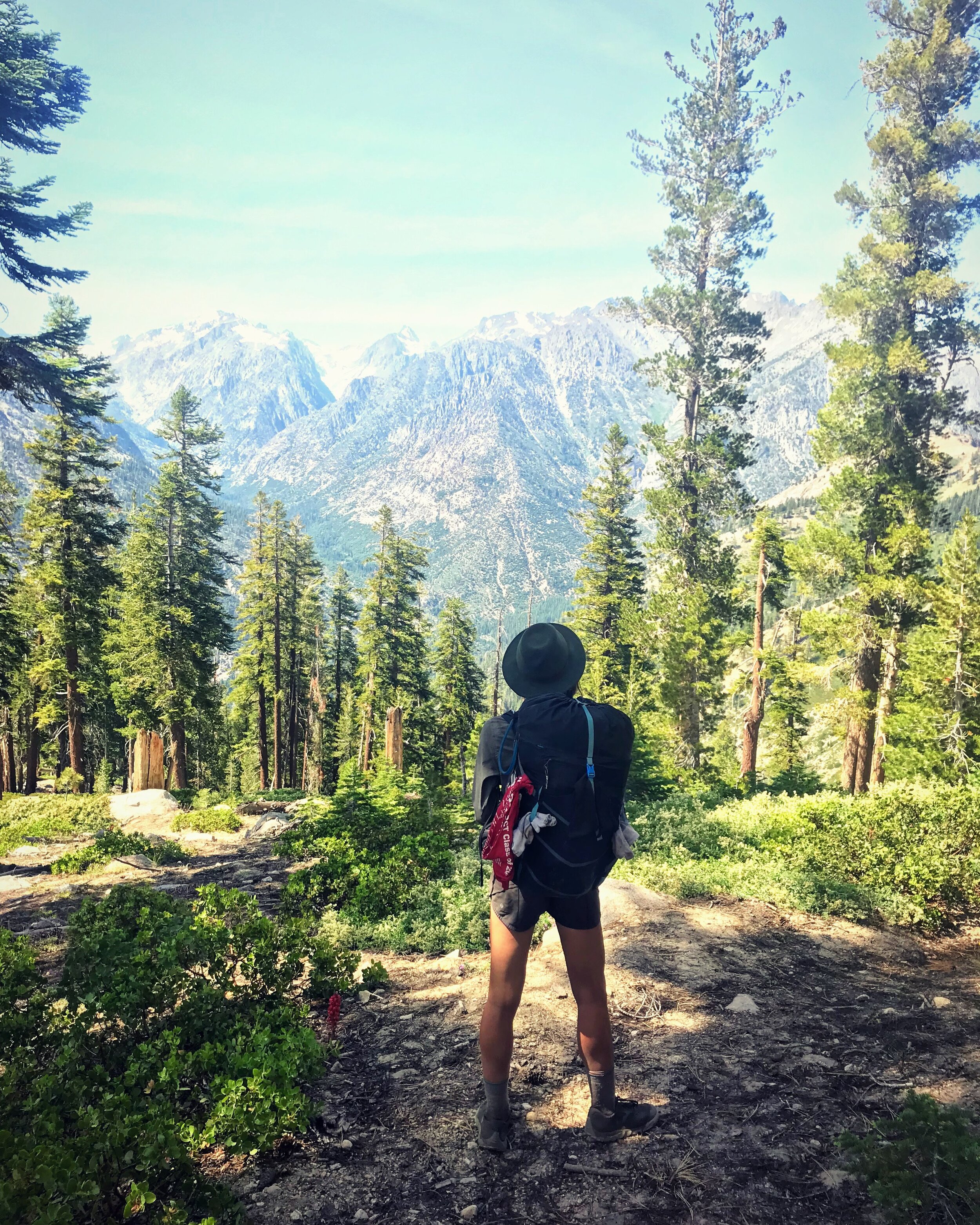
Finally, we reach the PCT. The trail is unmistakable. The well manicured, smooth trail was a treat after all of the trailless routes we’ve been on.

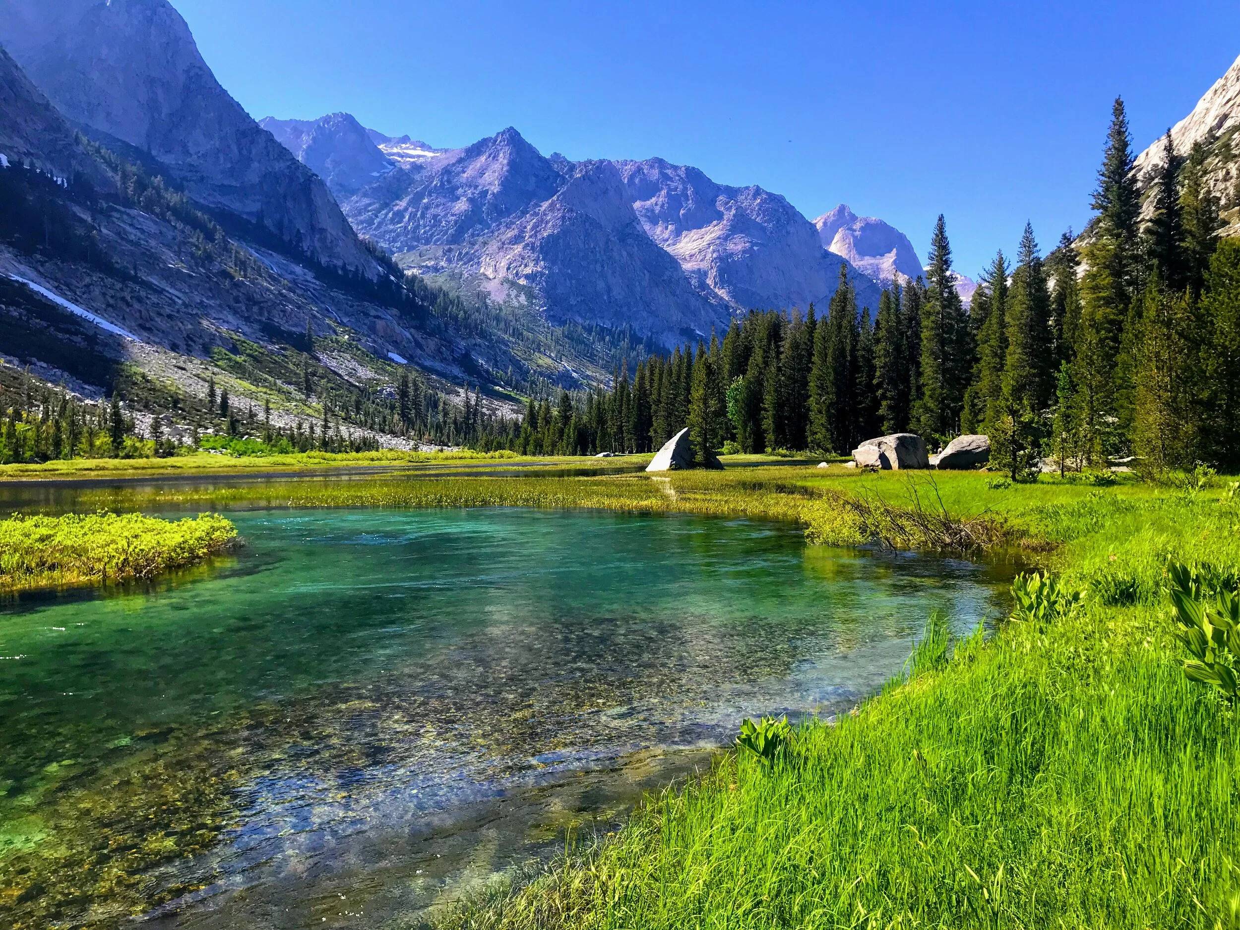
We follow the PCT north towards Grouse Meadows. In the meadow the river is mellow and lazily snakes around green grassy pastures enclosed by the smooth granite walls of LaConte Canyon. Despite the mosquitos that seem to appear anytime we stop, this is the perfect place for a break. We can’t resist the urge to immerse ourselves in the tranquil waters.
After our swim we headed north and hiked for a few more hours along the Pacific Crest Trail.