AZT Part 13: A Very Babbitt Birthday
Day 36 | April 26, 2022
23.2 Miles
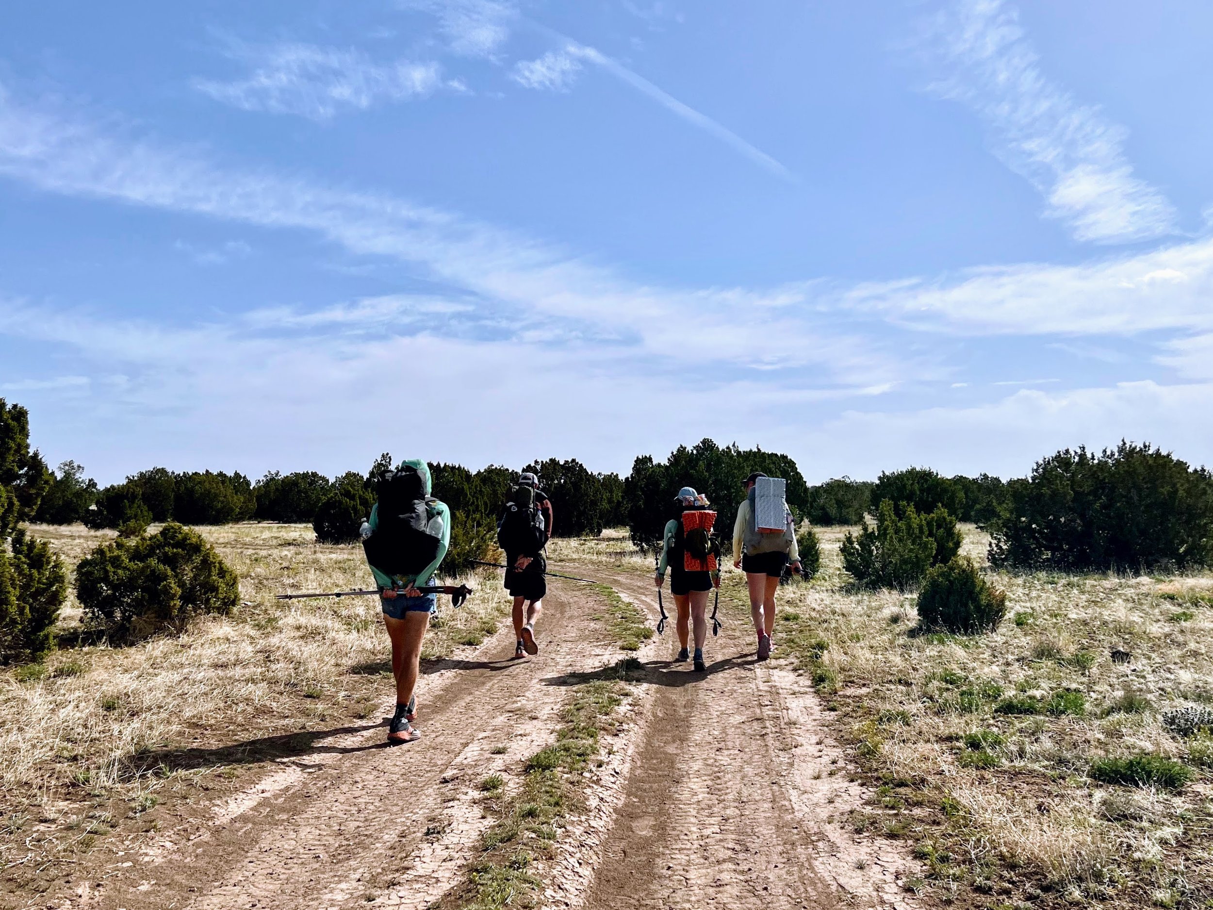
We waited for sunrise, packed up our gear, and set off on the trail together.
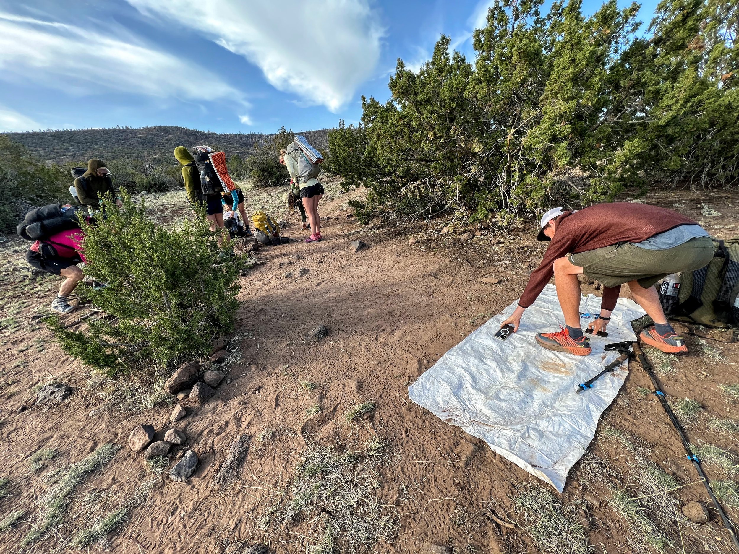
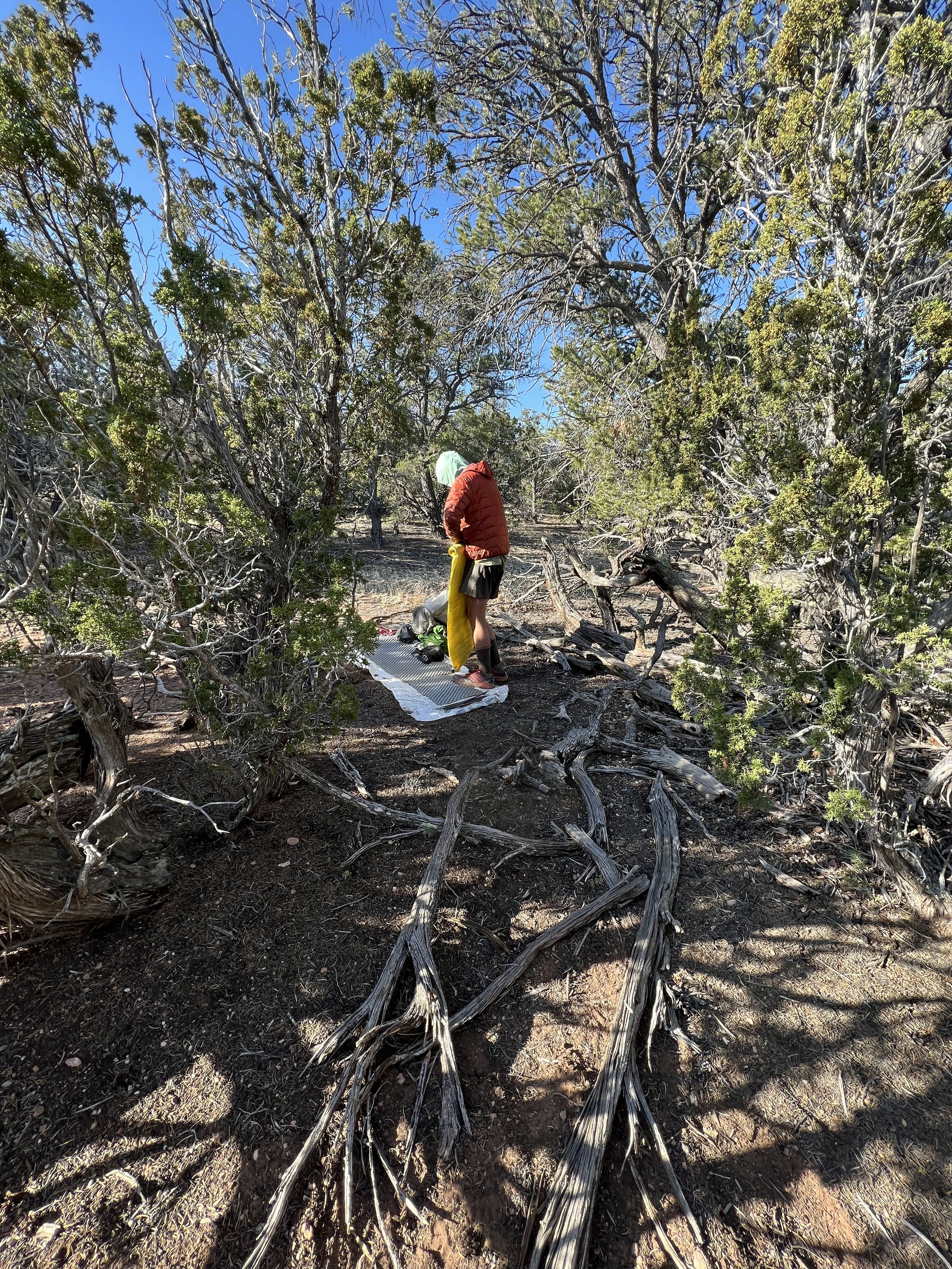
I felt stifled as we marched out in a conga line that morning. I was craving space, quiet, and the ability to find my own rhythm, but I tried to be patient.
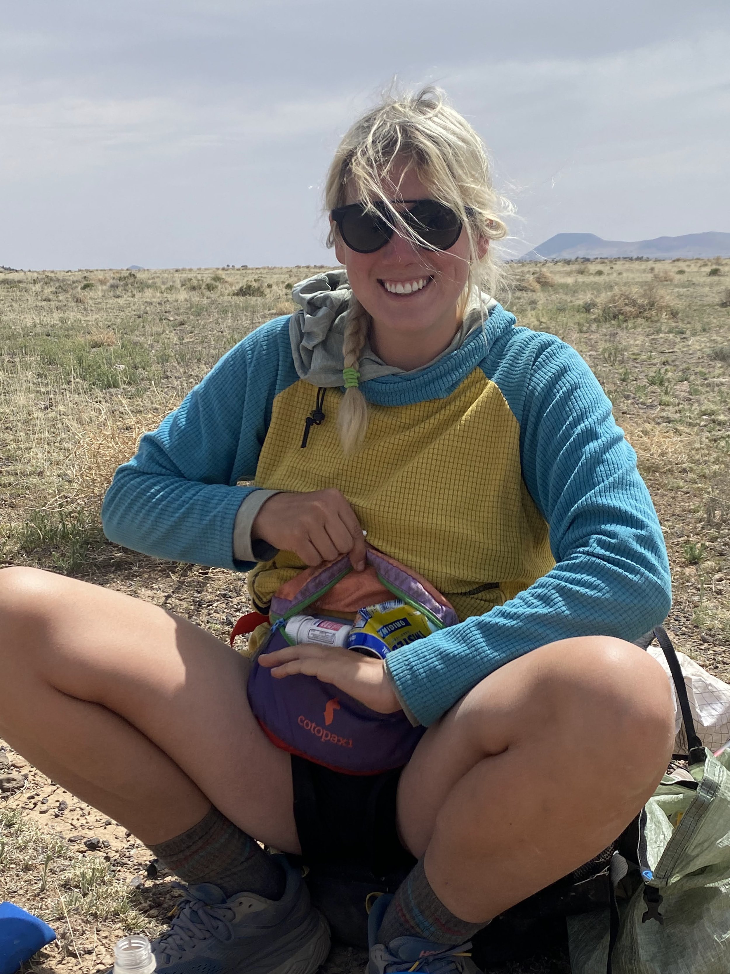
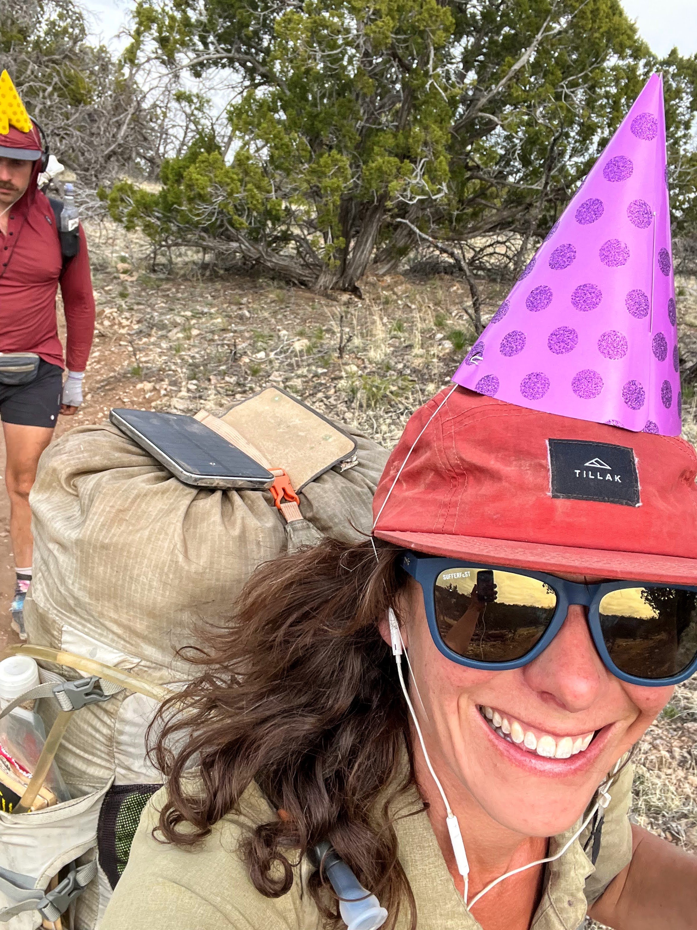
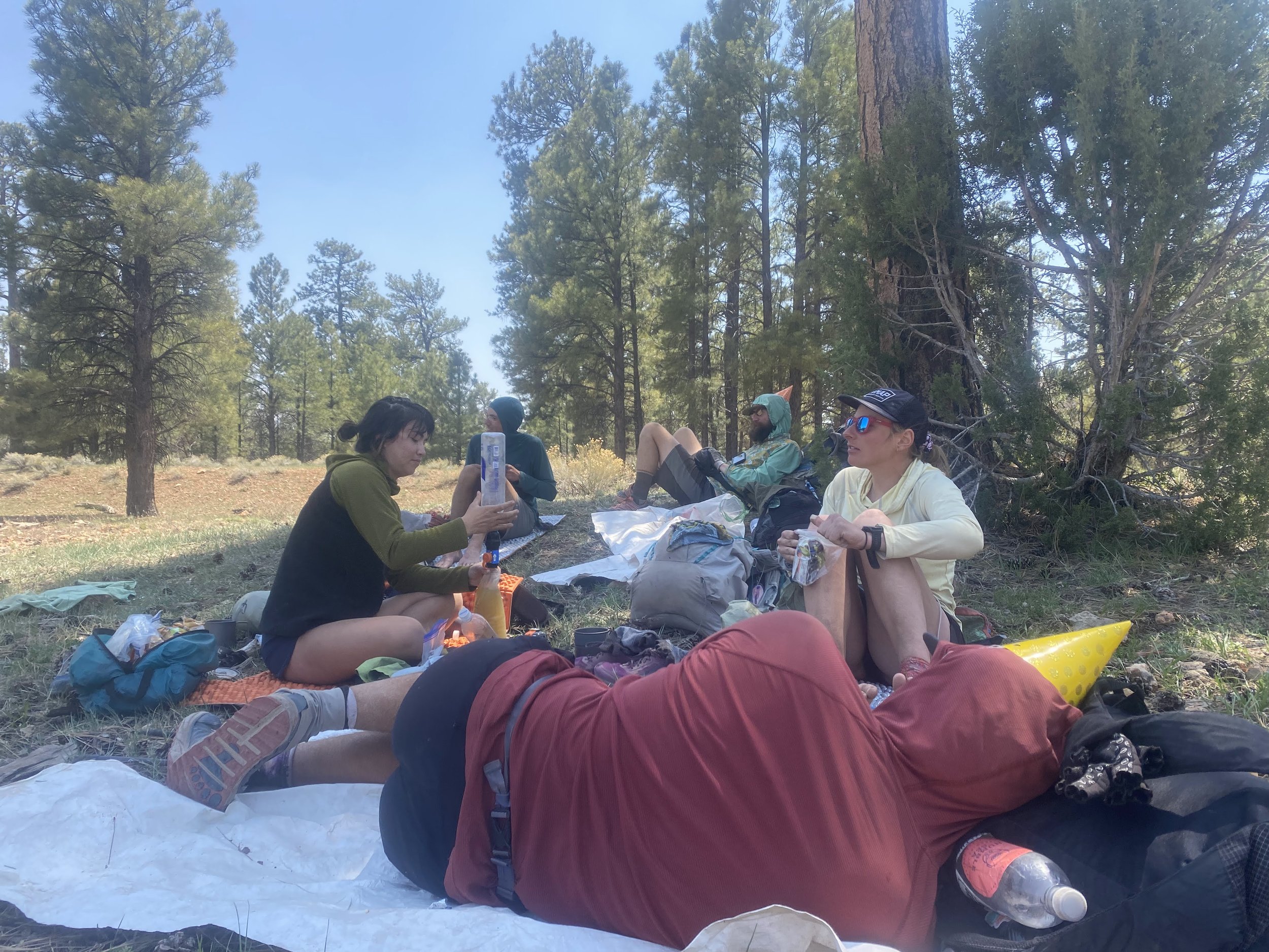
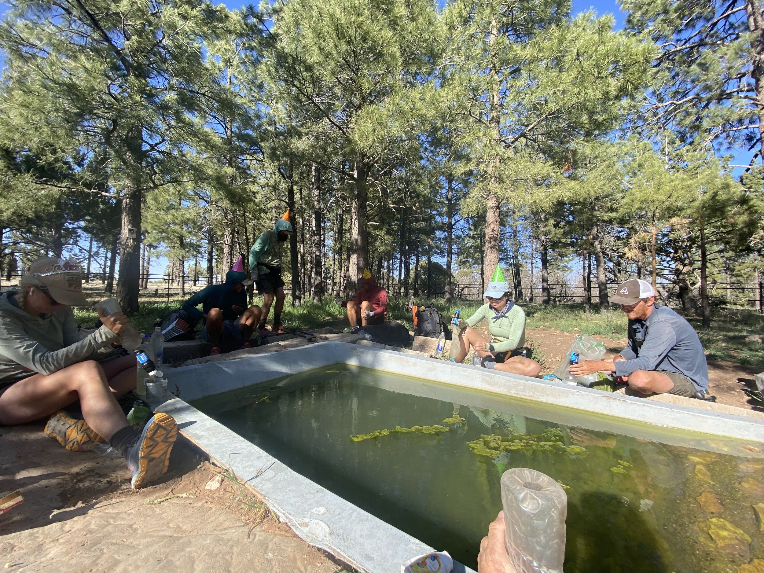
Today was Silver Bullet's birthday and she and Tailgate started drinking twisted tea and bagged wine as soon as we started hiking, at 8:00am. They quickly fell behind the group.
We took a snack break at 10:30am and still no Silver Bullet or Trailgate.


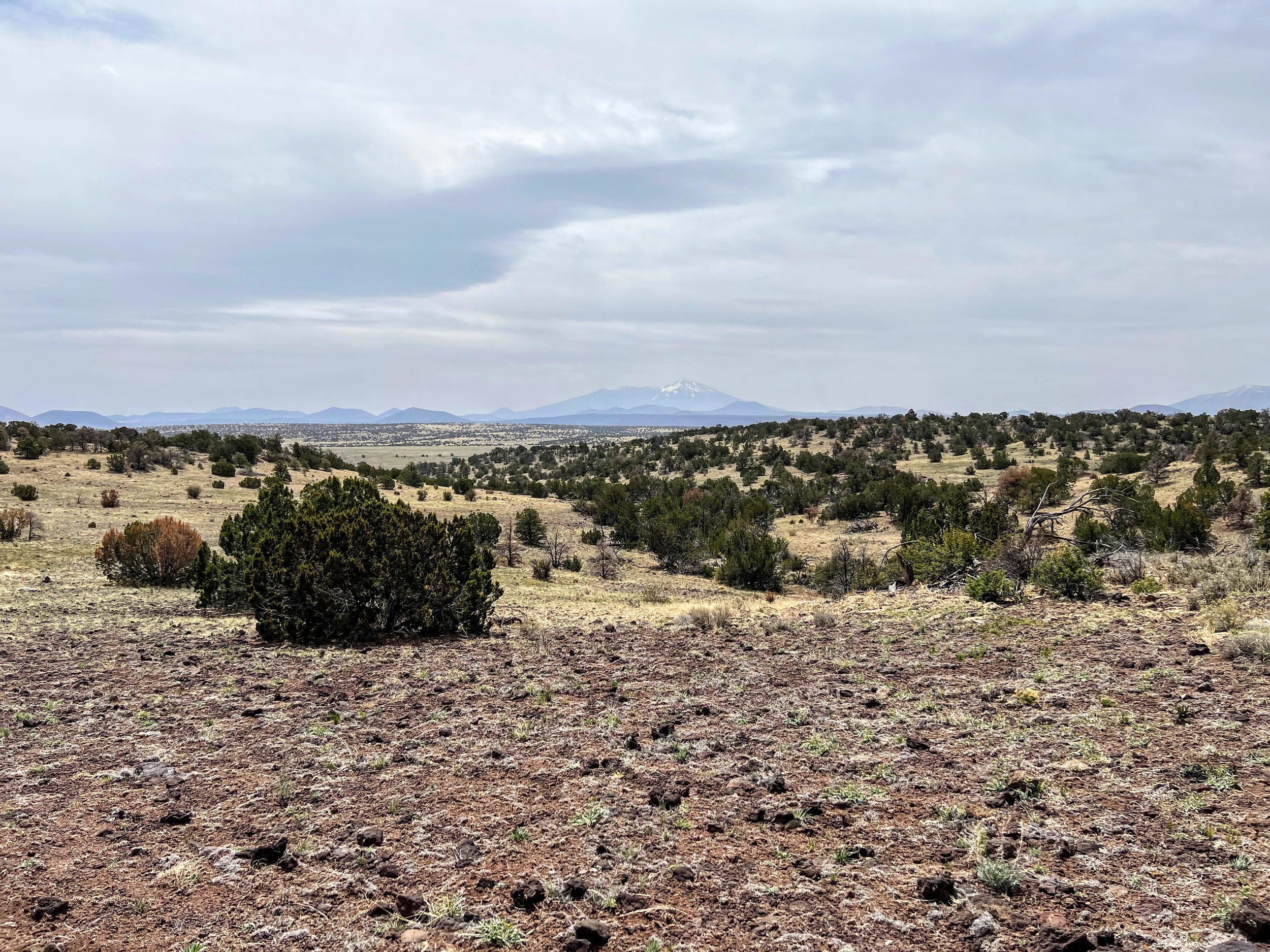
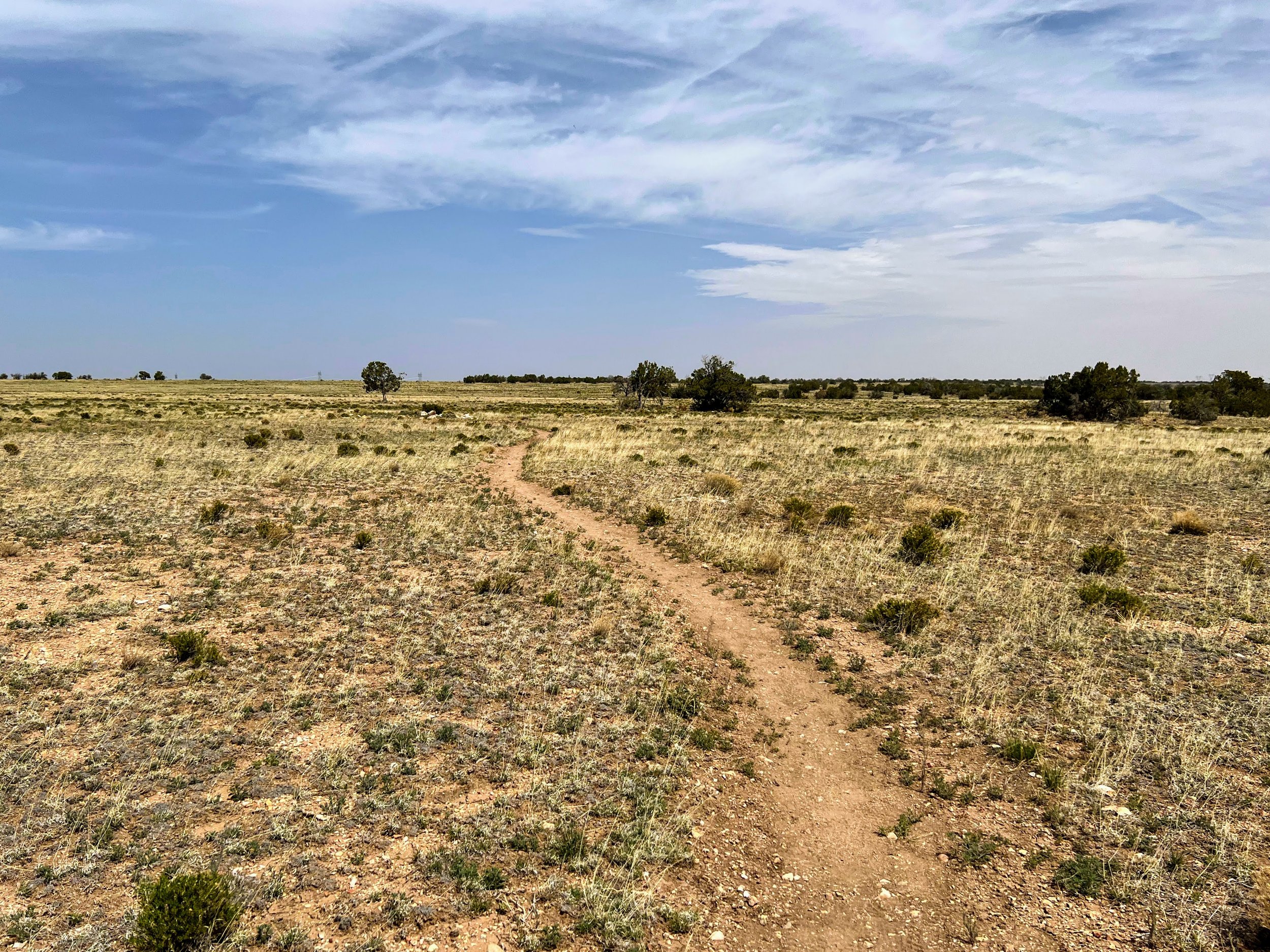
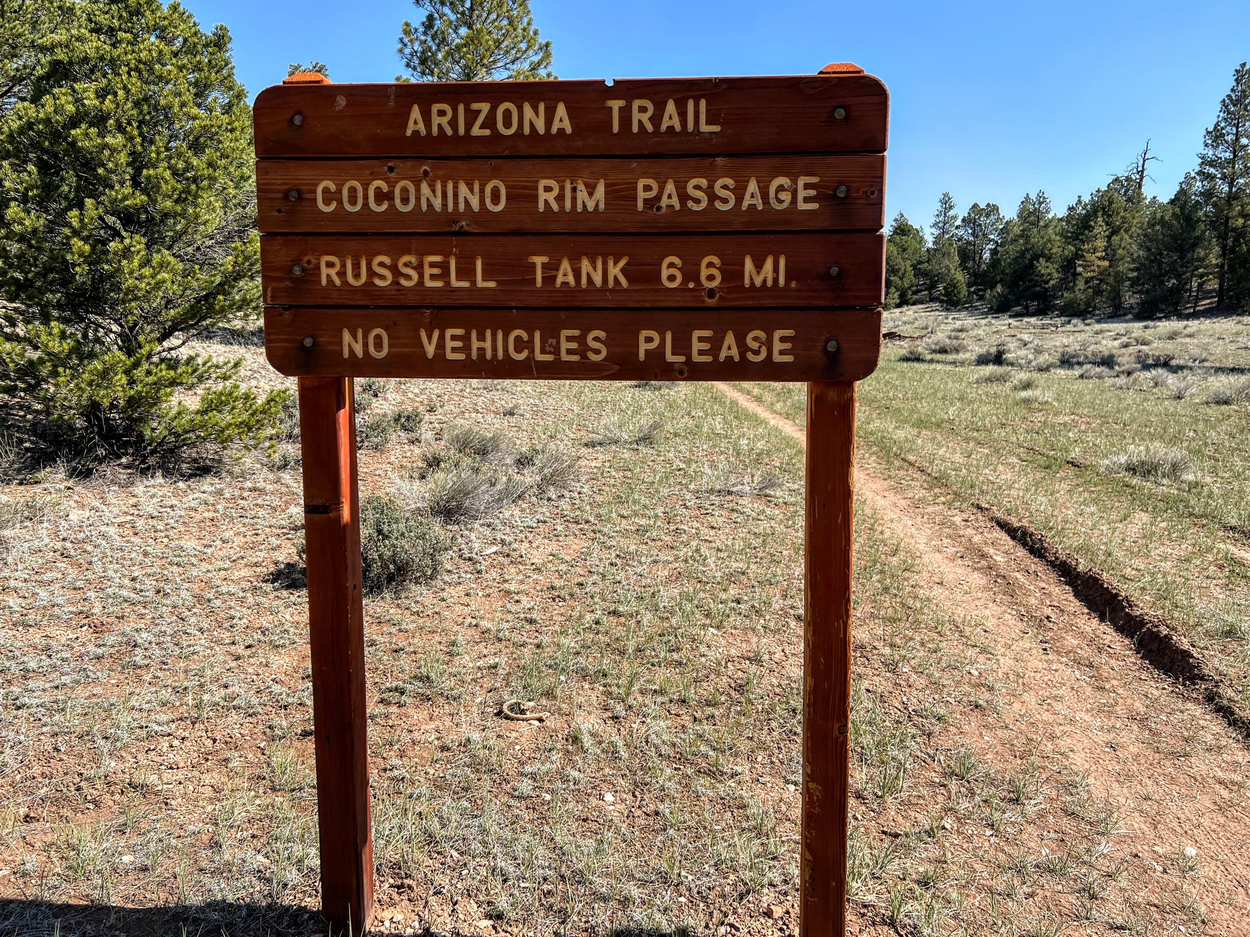
The conga line started to spread out as we continued hiking north through a peaceful and remote part of Arizona. The trail followed the old stagecoach route that once took travelers from Flagstaff to the Grand Canyon. Moqui Station, located at the end of Passage 35, served as a stopover along the way.


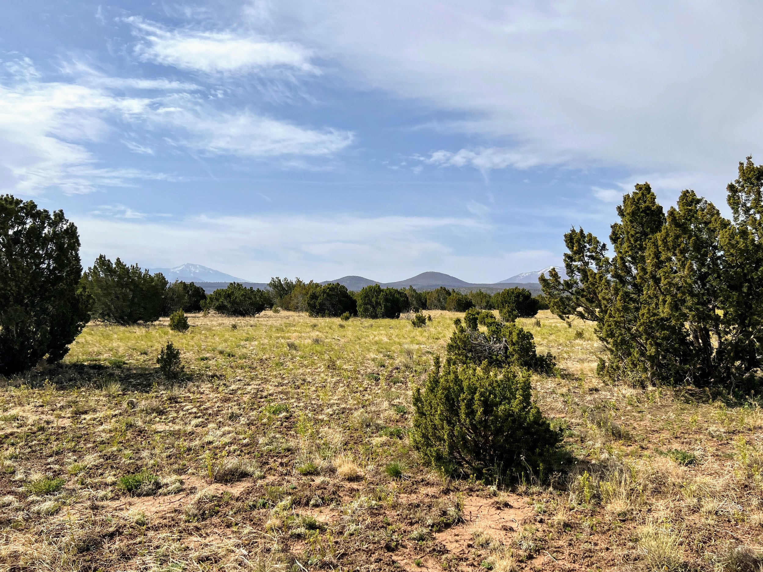
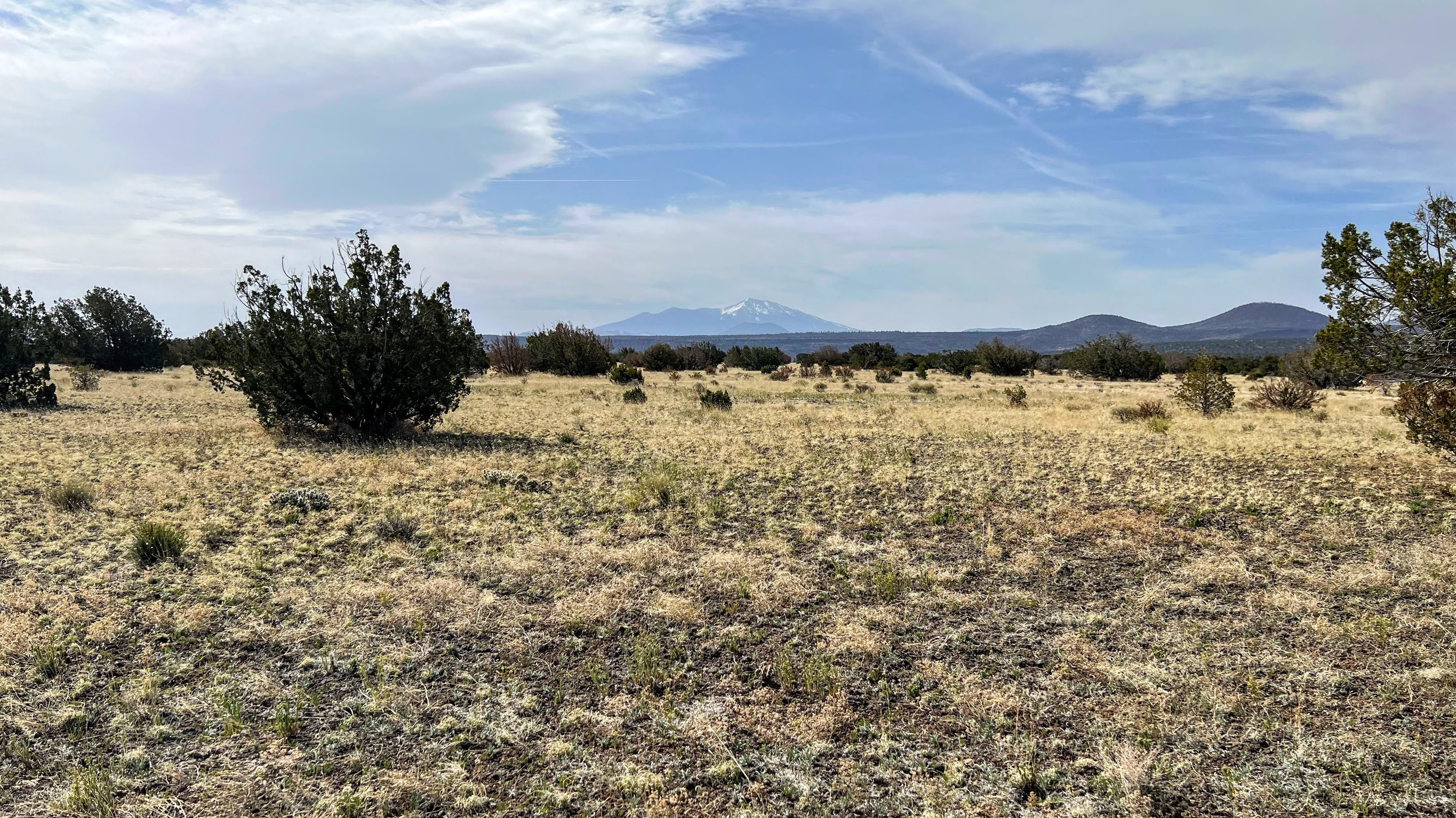
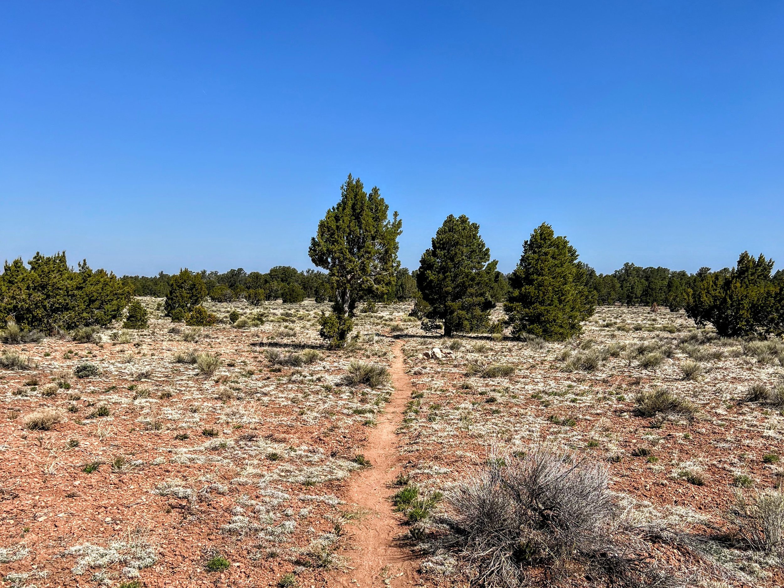
It was a hazy day but a beautiful trail, soft and smooth dirt, rolling hills and snowy peaks sticking up in the background.
The air was dry and the inside of my nose felt crusty.
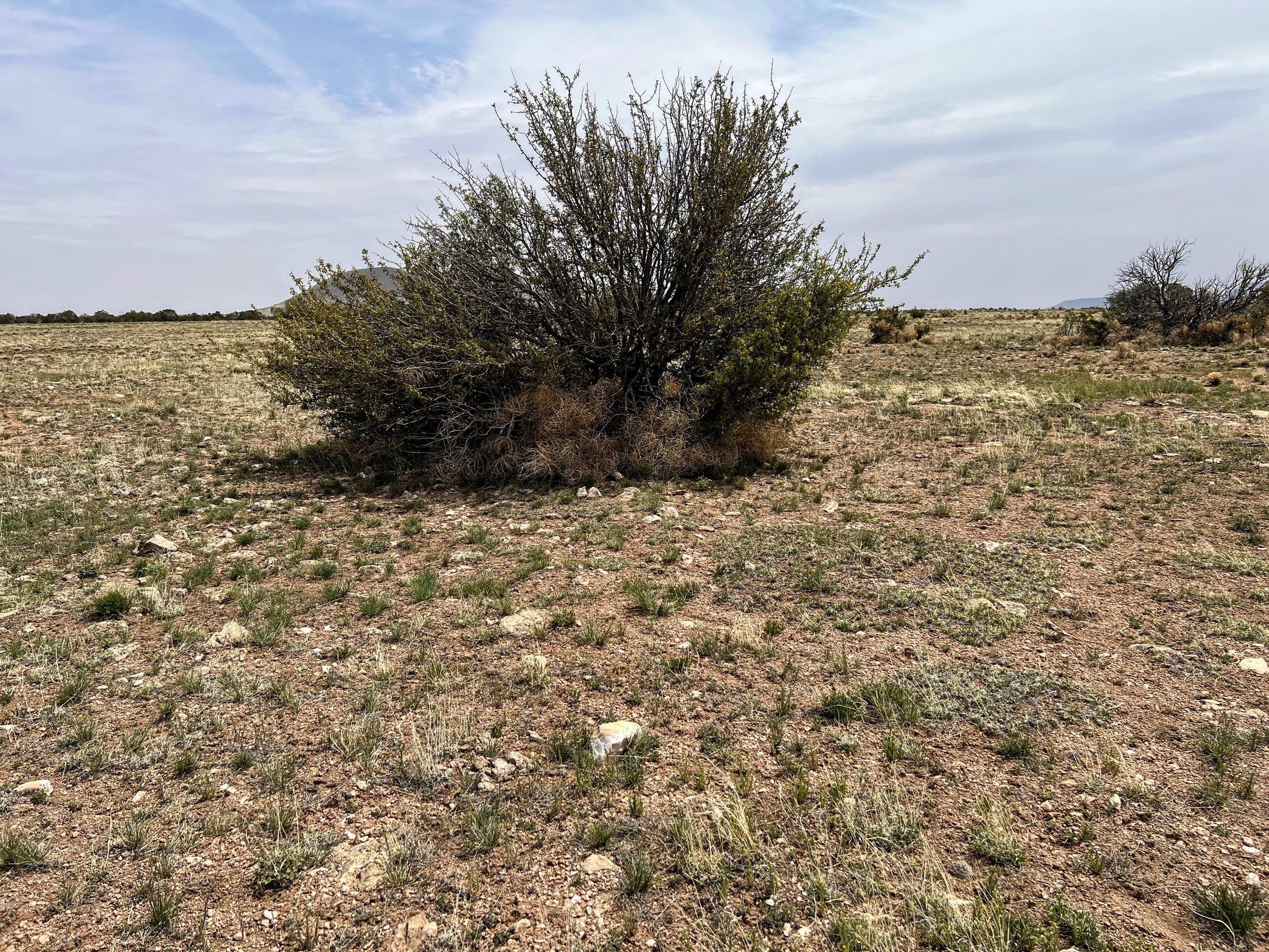
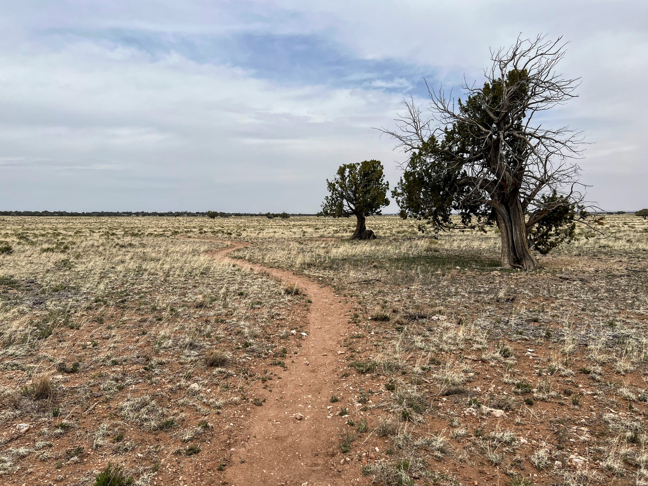
We traversed through open fields with juniper trees scattered across sparsely vegetated golden grasslands. An empty, dreamlike landscape was framed by a smokey horizon, whose colors were muted and ominous.

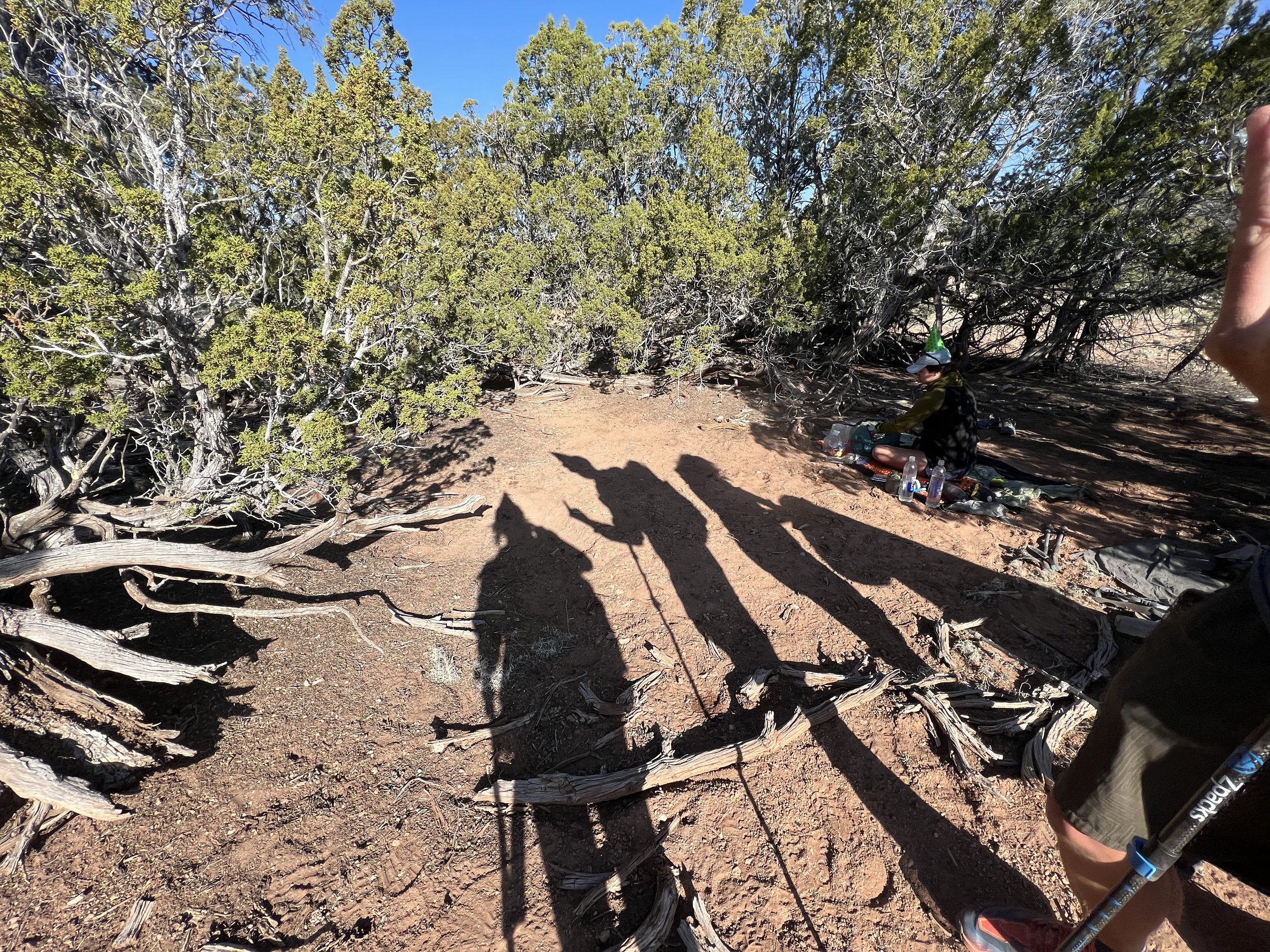
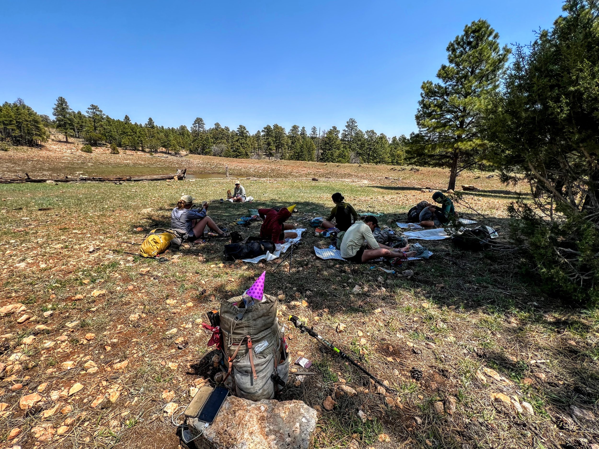
The group reconvened at a wildlife tank in the late afternoon.

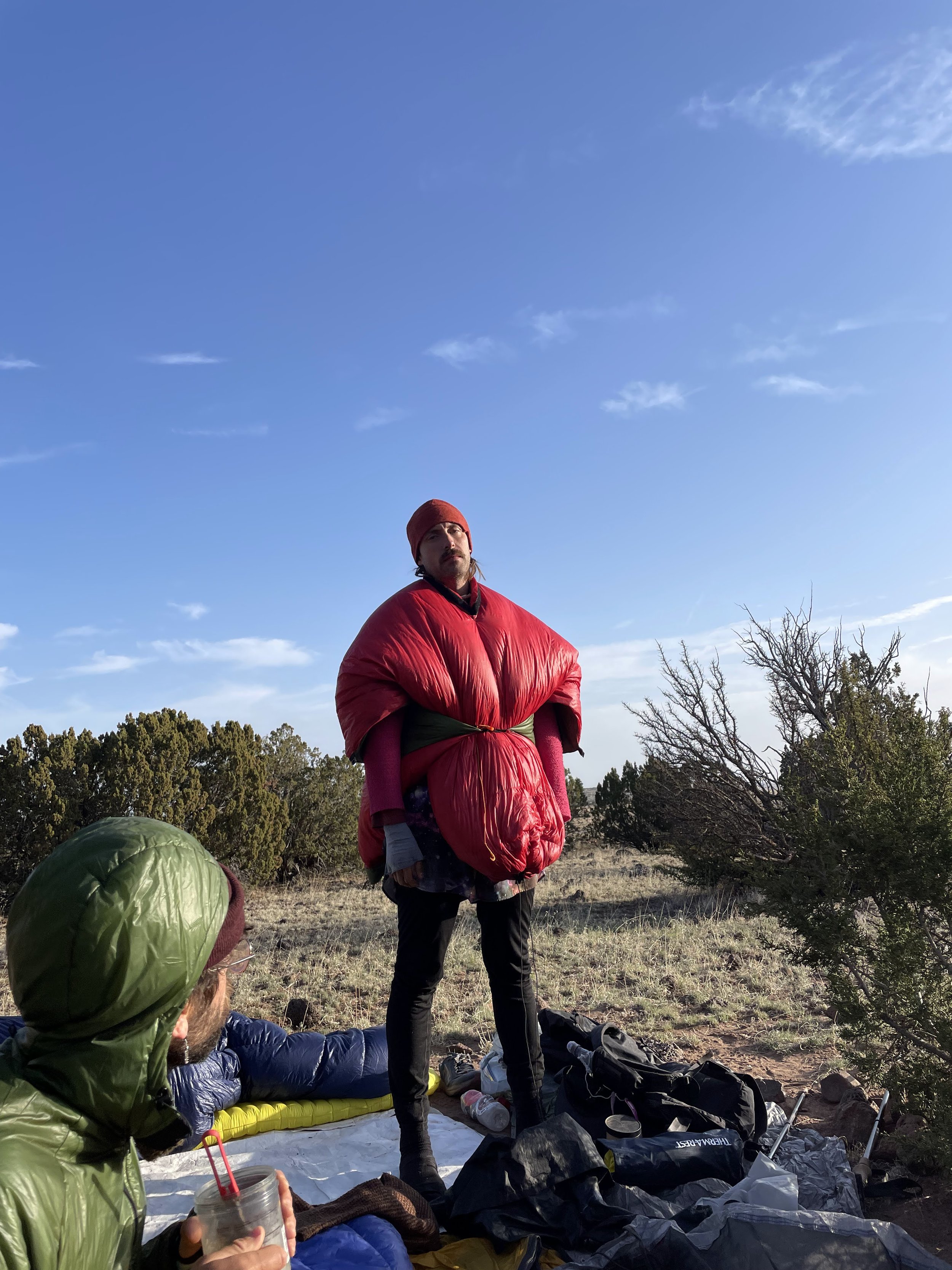
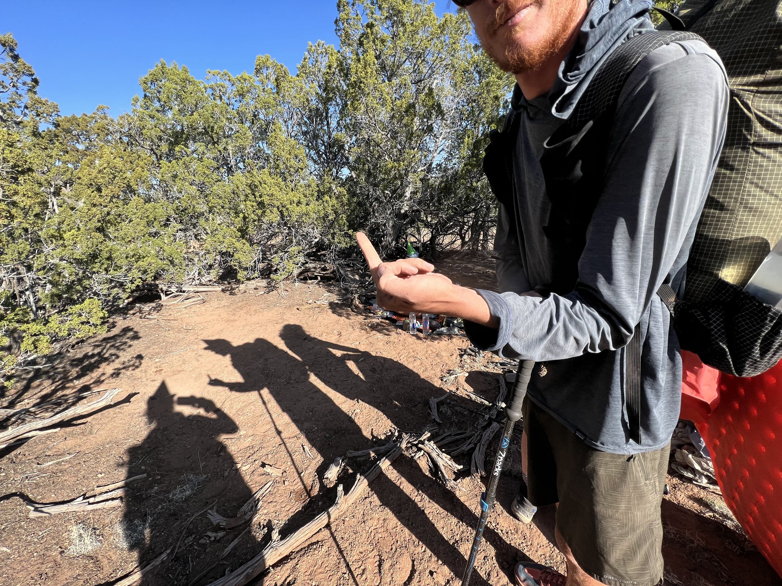
Silver Bullet and Tailgate staggered in with drunken smiles and lots of laughter. We wore party hats and sang happy birthday. It was here that Sweet Shop earned his trail name after the group discovered he packed out an entire cake. His gallant act forever heroized him in the hearts and bellies of thru-hikers (Months later I learned that this wasn't really an act of nobility, but rather an attack on Sweet Shop, who'd packed out the cake for himself without knowing that his treasure would be commandeered by hikers).
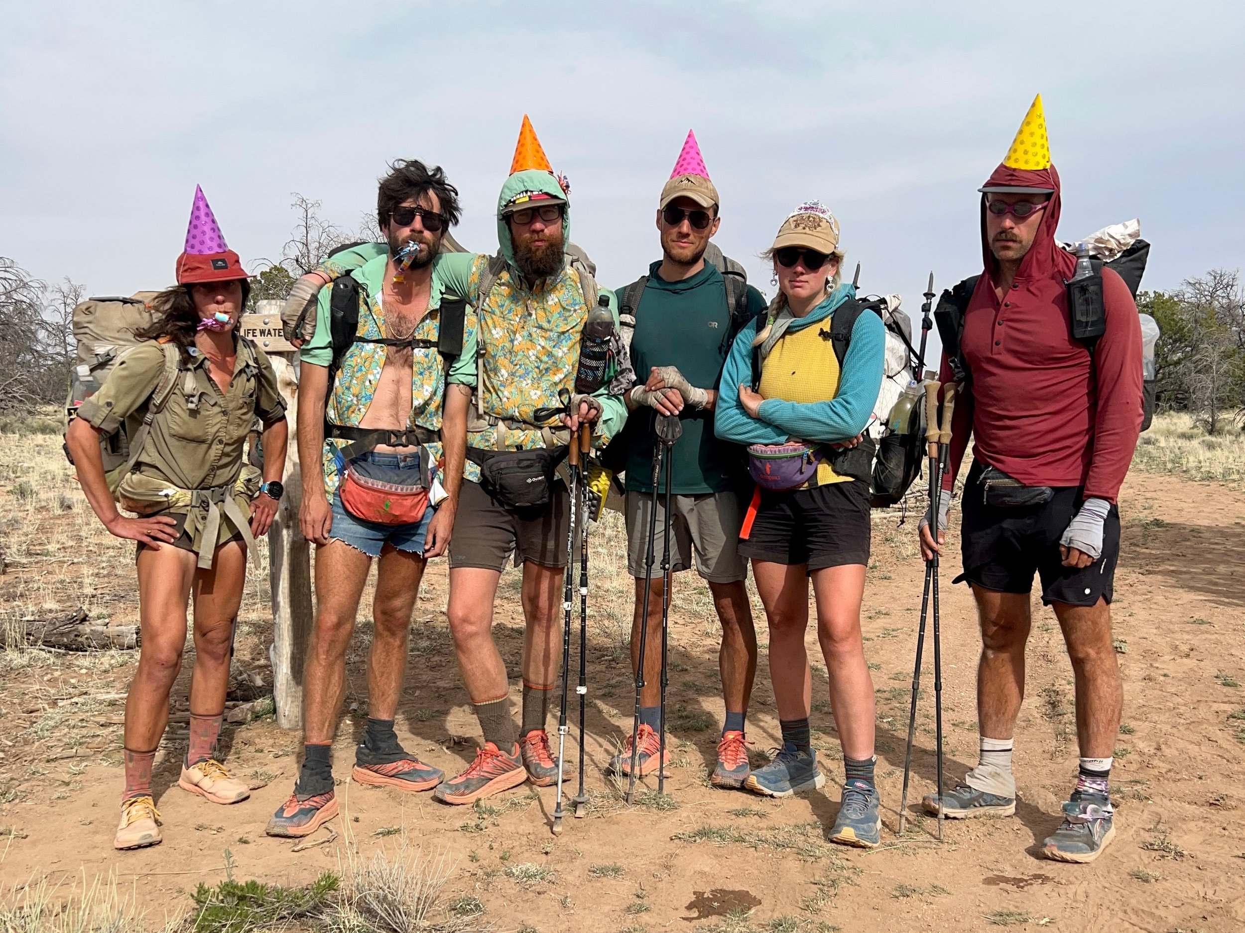
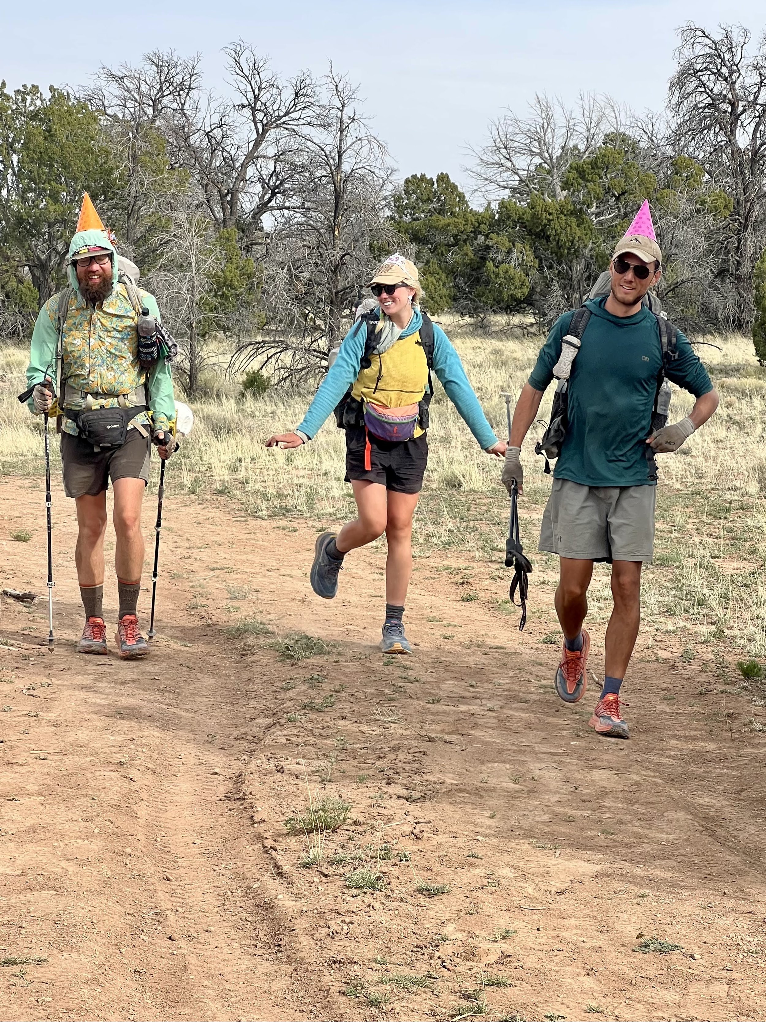
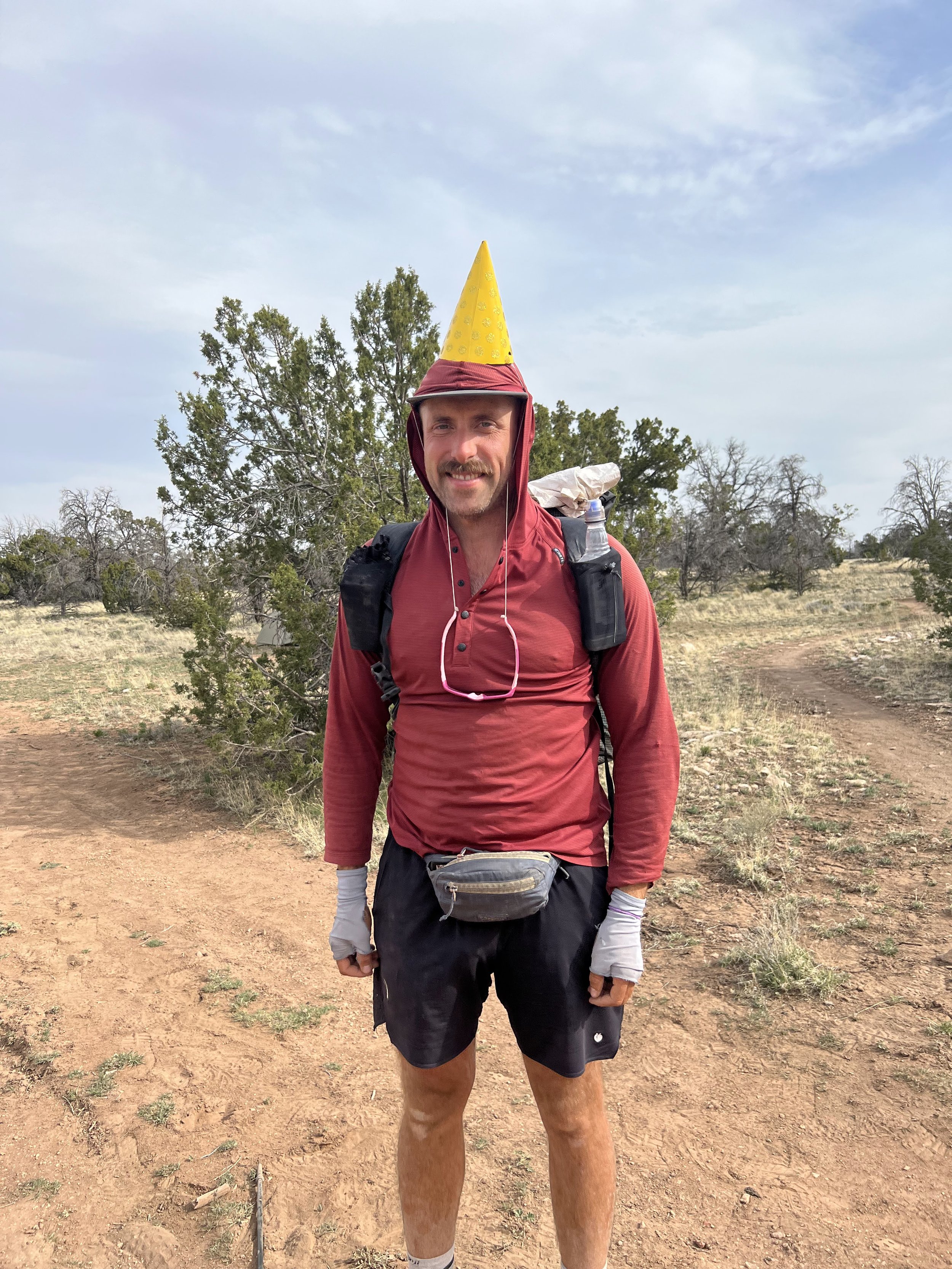
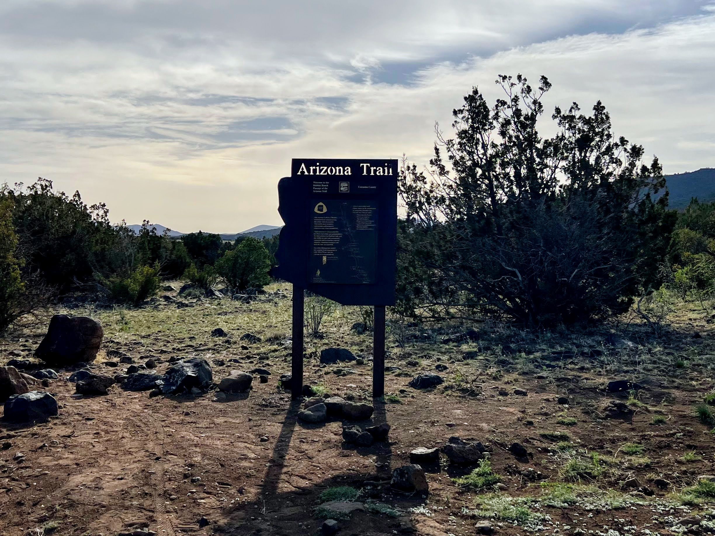
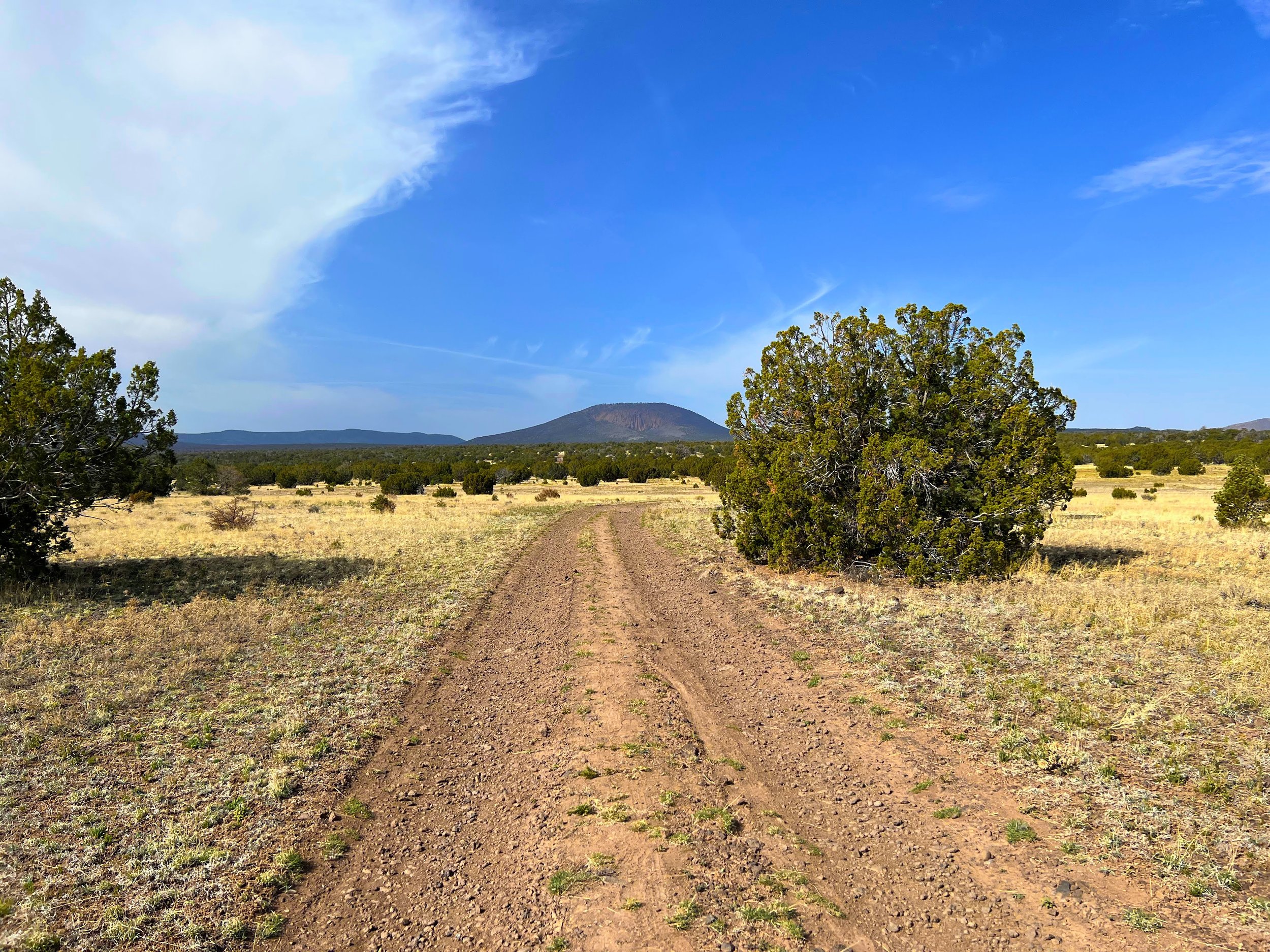
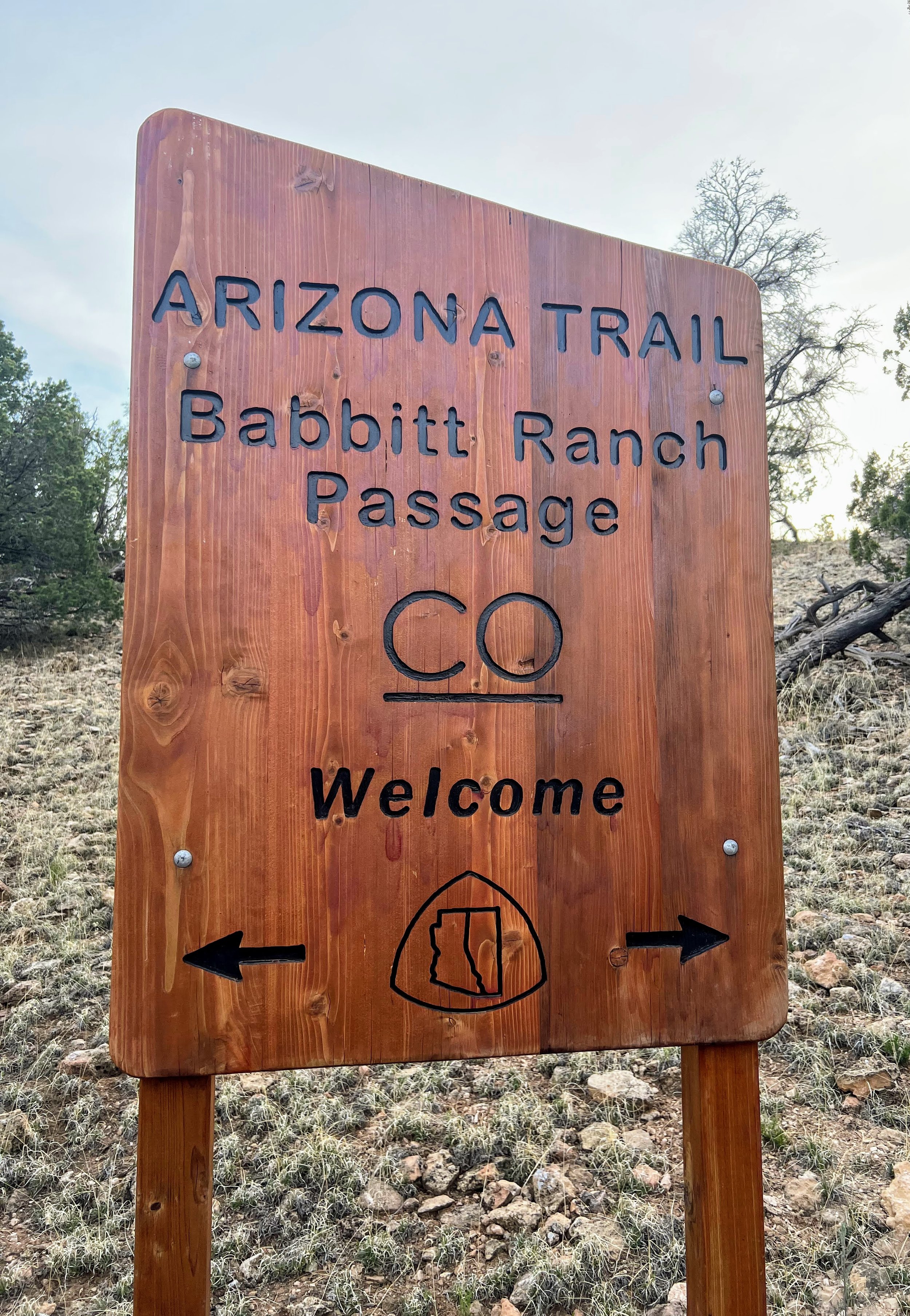
The party hats stayed on as we hiked across an area of private land in between Coconino National Forest in the south and Kaibab National Forest in the north.


Babbitt Ranches’ CO Bar Ranch is one of only three private properties along the AZT.
We cowboy camped together that night as a big group of 12 in a flat wooded area.
Day 37 | April 27, 2022
21.9 Miles
We woke up abruptly to the sound of Haiku's air mattress hissing as it deflated (he's always the first one up and out of camp). Shortly after, mattresses started to deflate all around. This meant it was time to get up.
I sat up and looked around. What a sight we were. A dozen dirty hikers tucked among the pine and juniper trees in the smoky morning haze. Sleeping pads spread crooked across wrinkled Tyvek stained with dirt. Hungover hikers lay slumped inside brightly colored sleeping bags, encased like cocoons, framed by flattened backpacks, and separated by stained SmartWater bottles and Dyneema bags overflowing with trash, snacks, and empty cans.
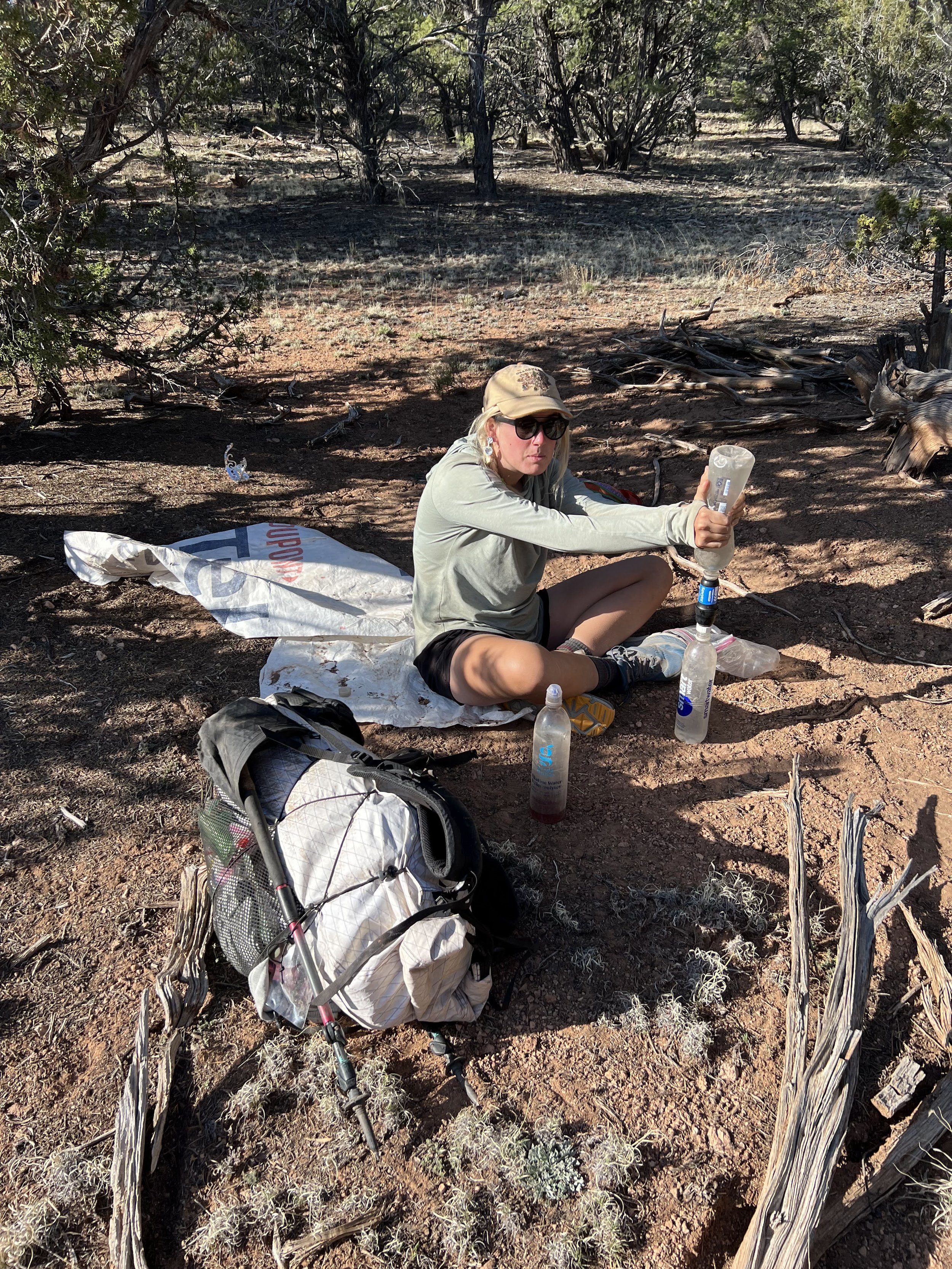
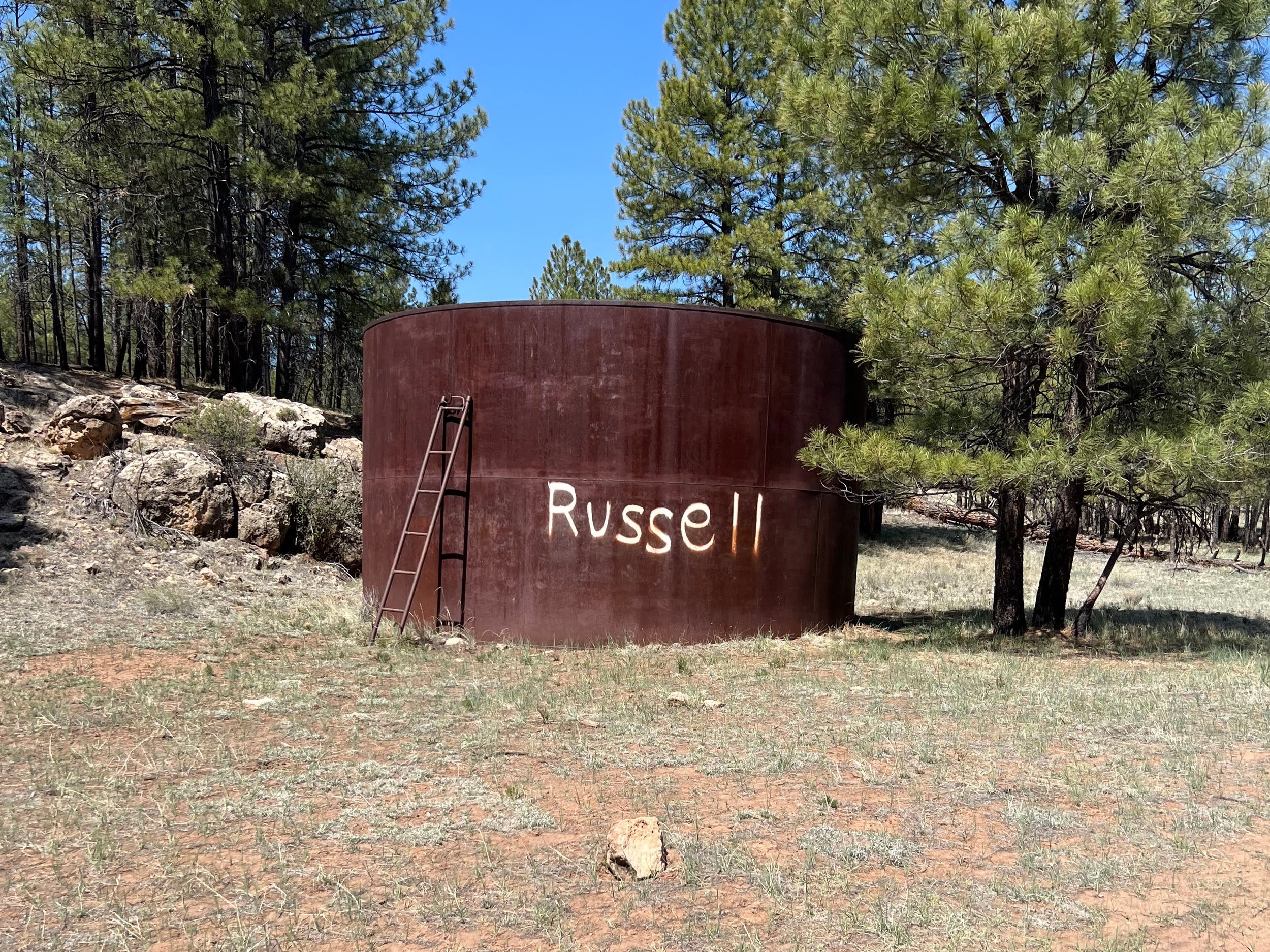
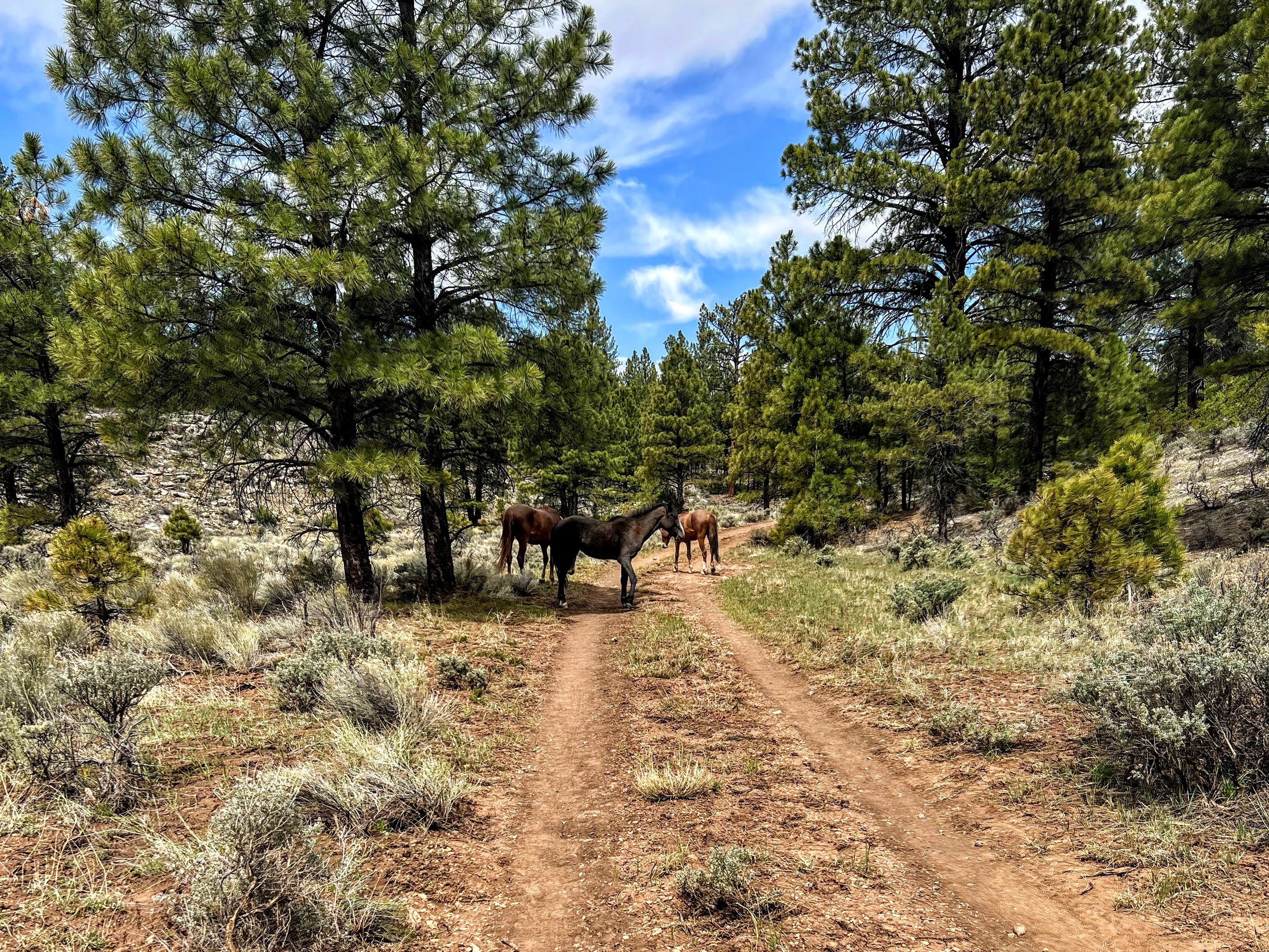
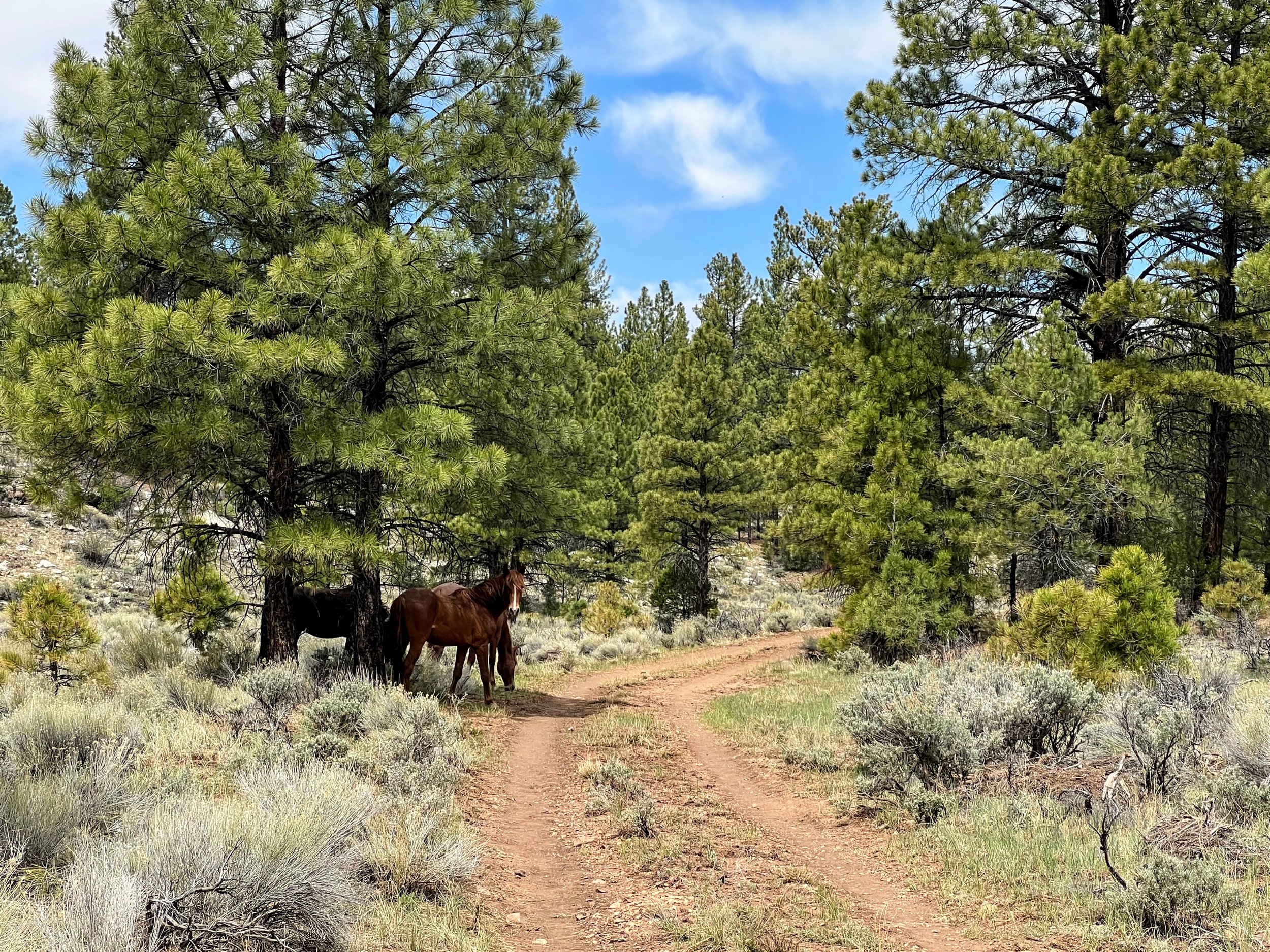
Although the air remained smoky, I enjoyed a quiet hike to the Russell Metal Water Tank.
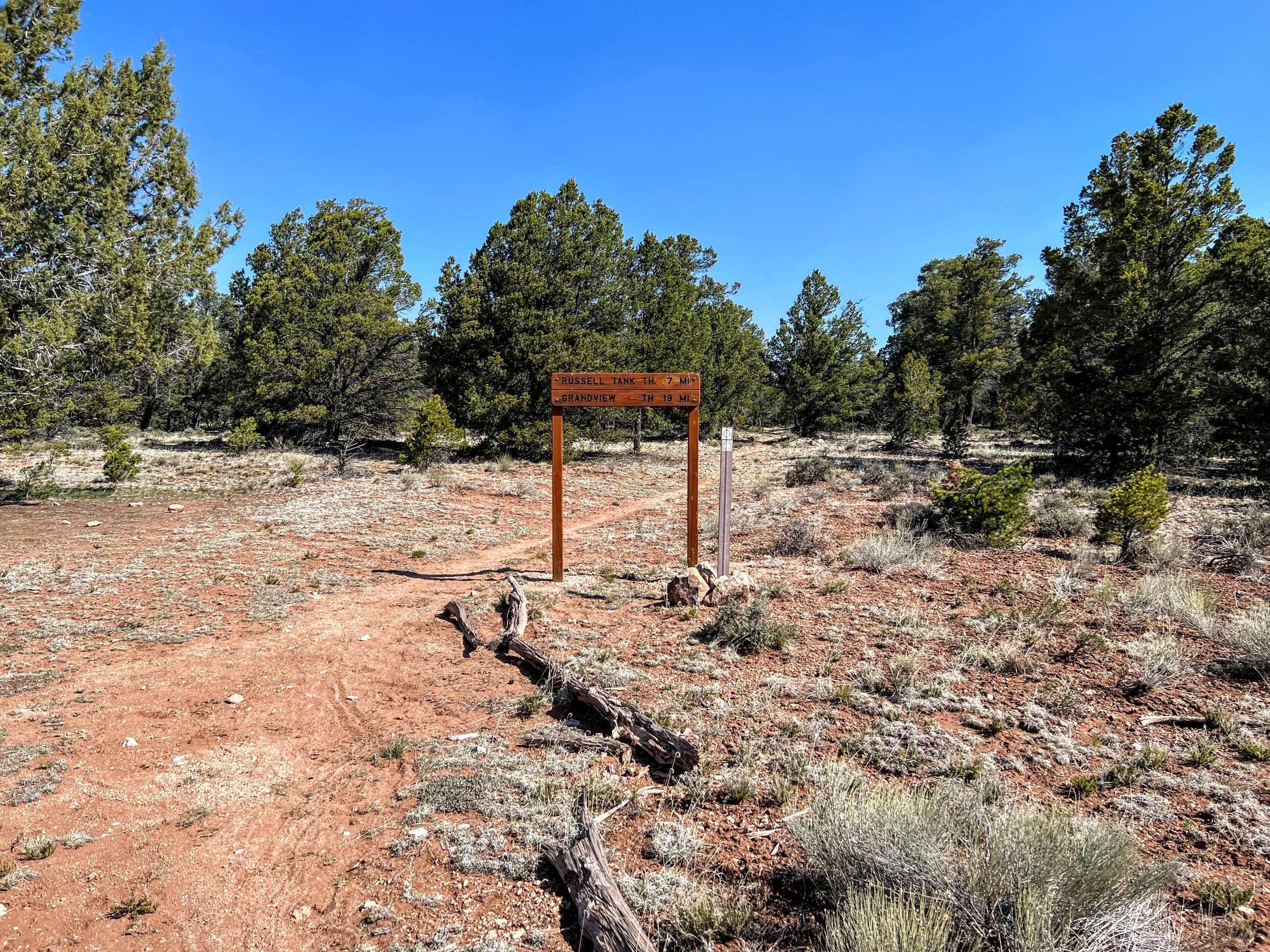
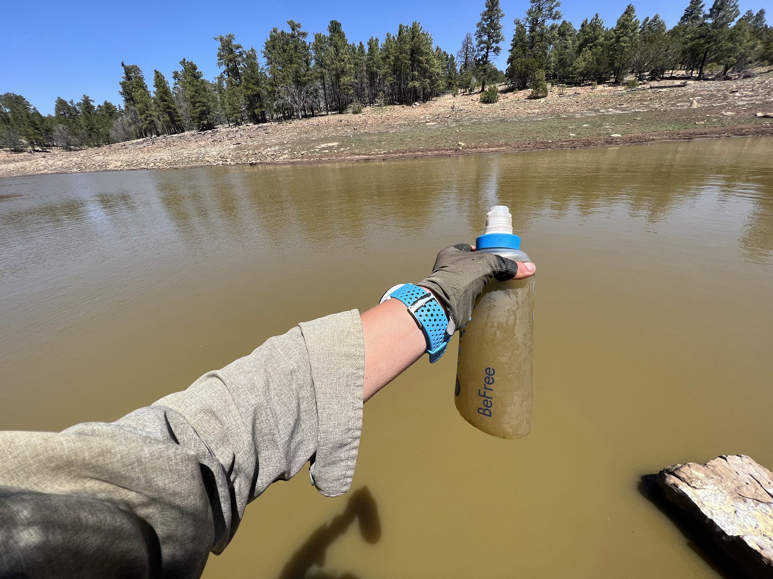
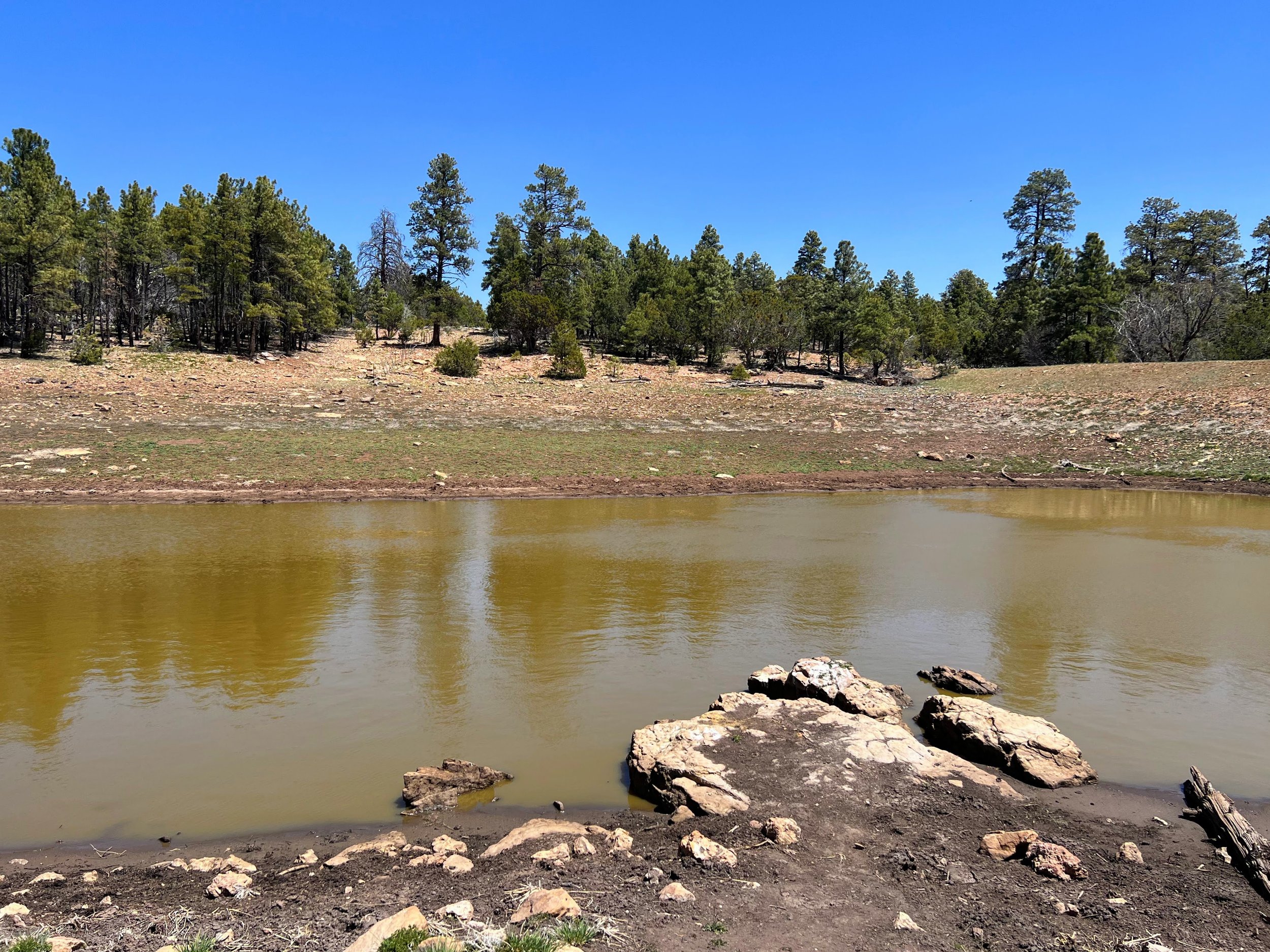
We had a group lunch at the next water source, also labeled Russell Tank.
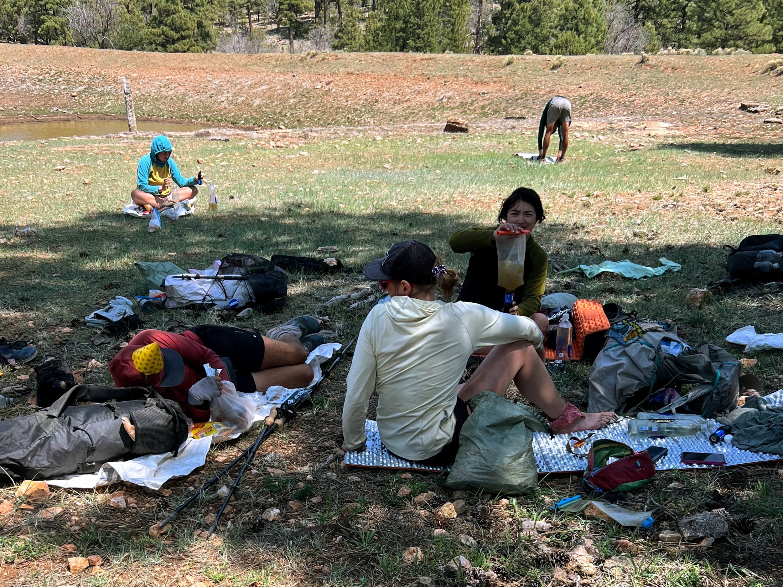
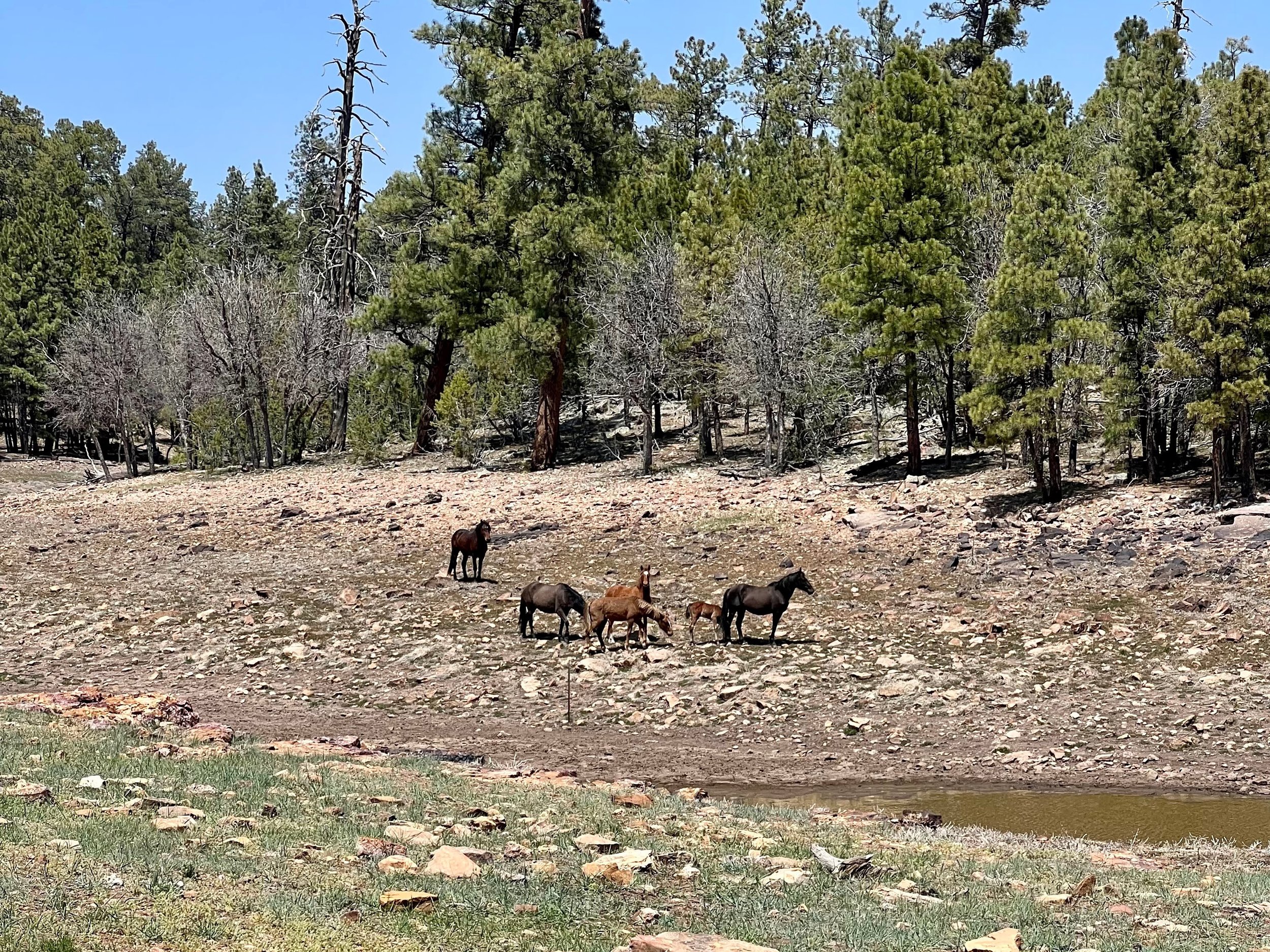
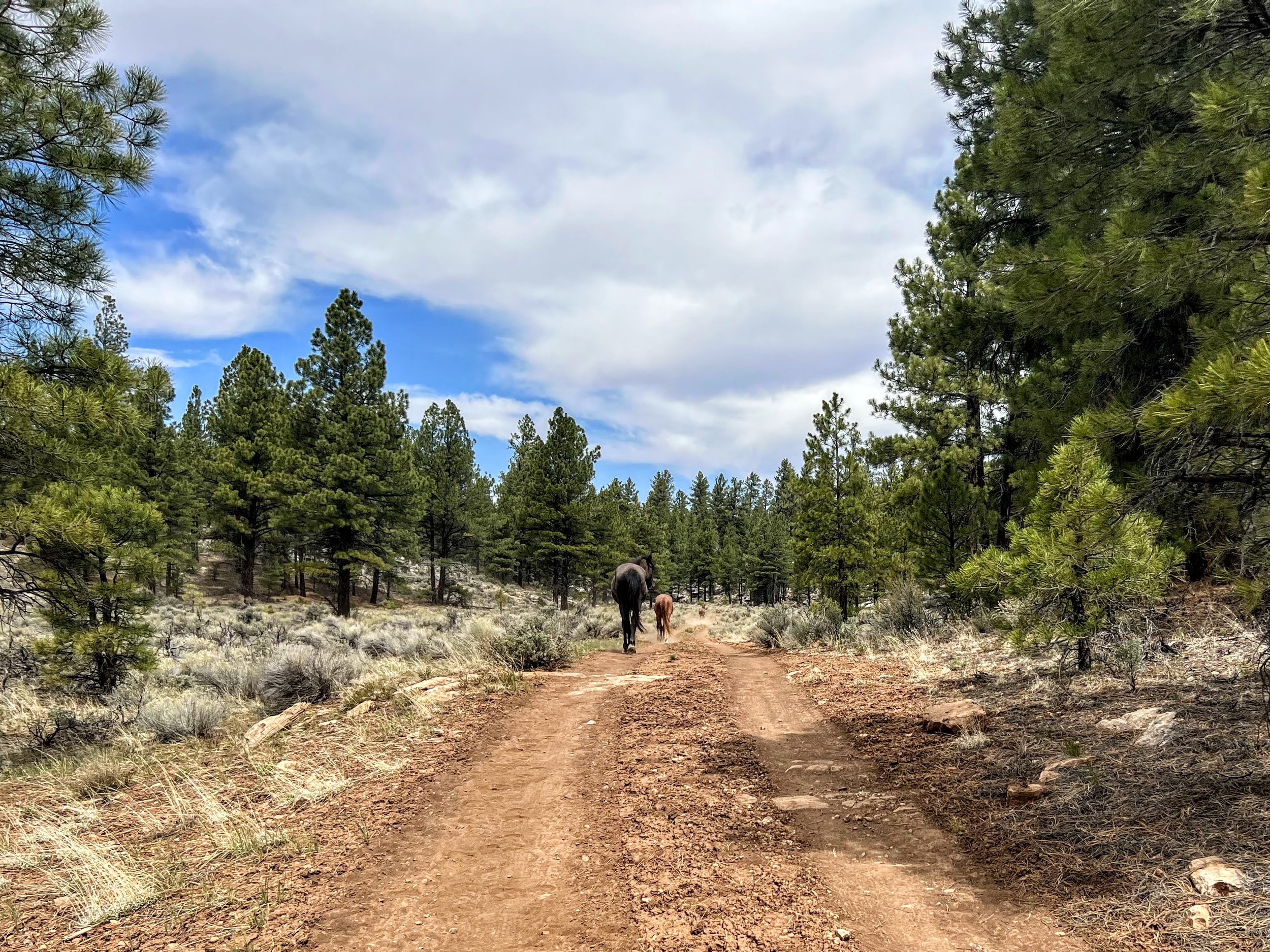
The water was brown and shared with wild horses.
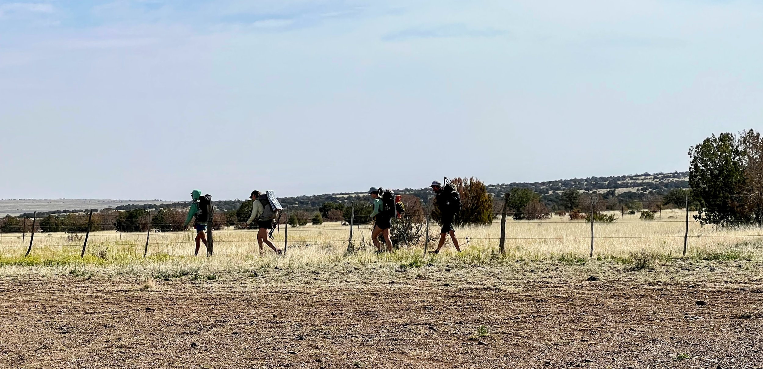
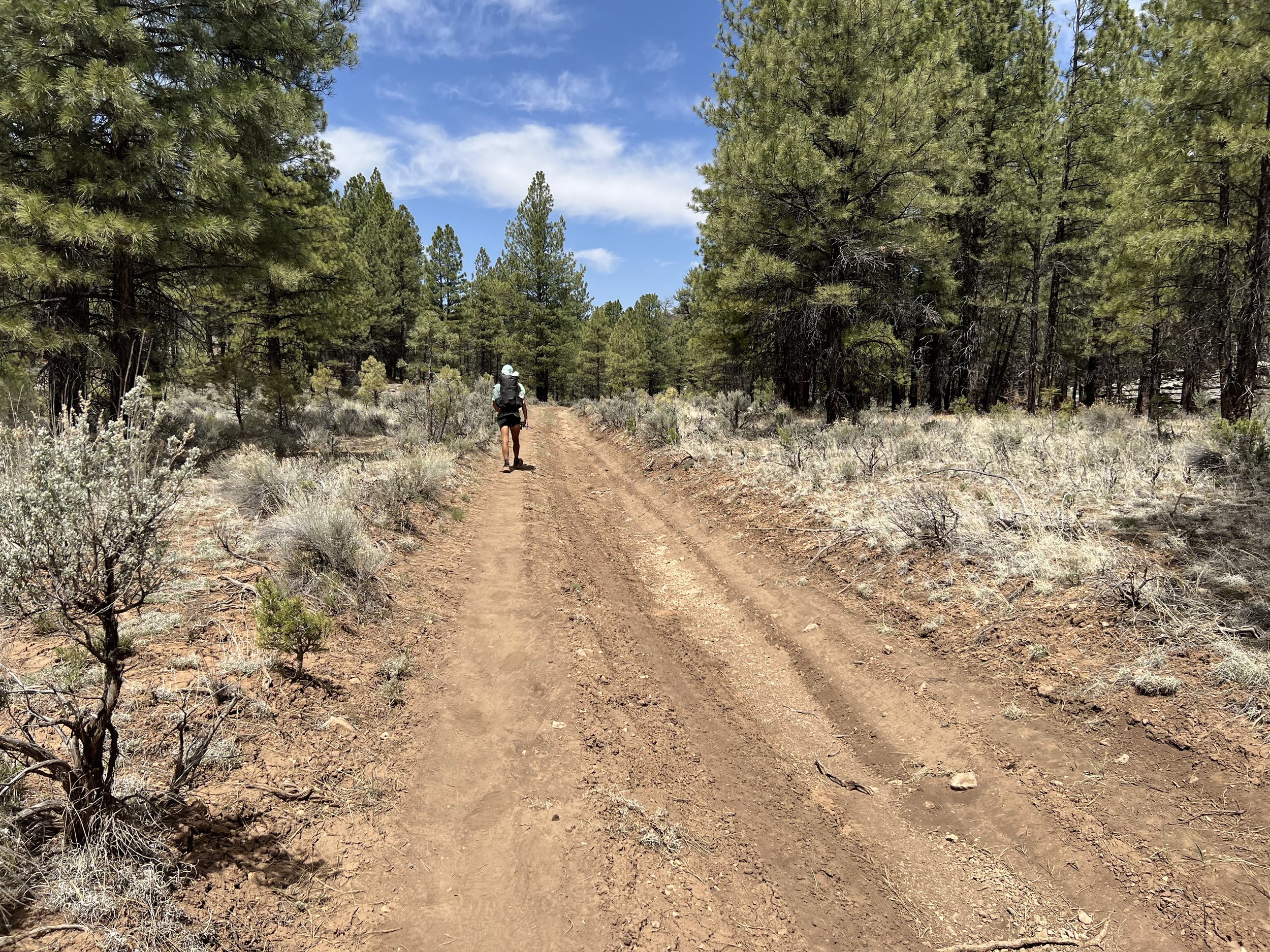
I left Russell Tank first, getting a head start on the group. Finally, I found the right balance between enjoying the company of others and savoring moments of solitude.


We entered the Kaibab National Forest, gradually ascended the Coconino Plateau, then continued northwest along the Coconino Rim, passing through ponderosa pine forests with tantalizing views of the Grand Canyon in the distance.
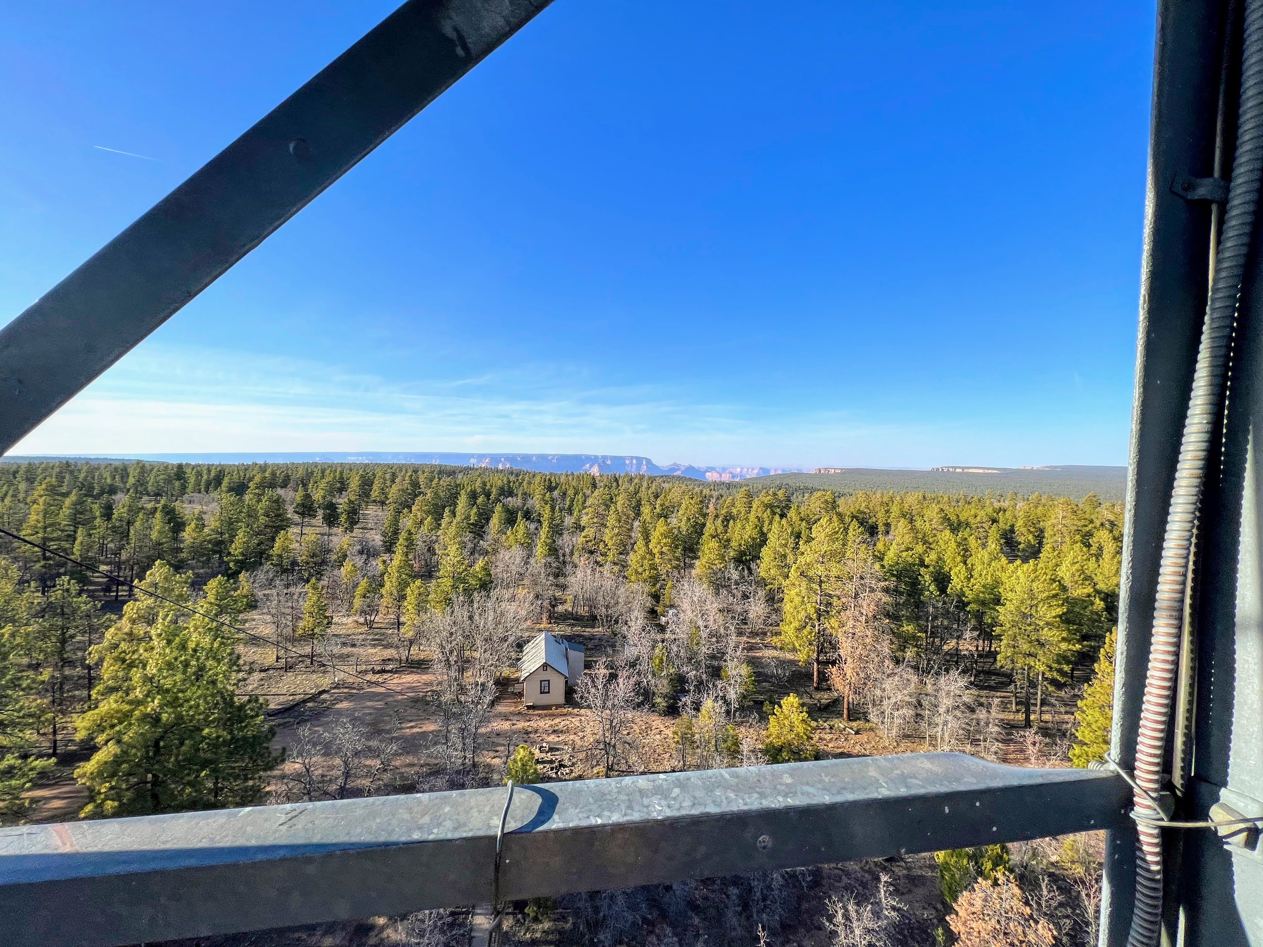
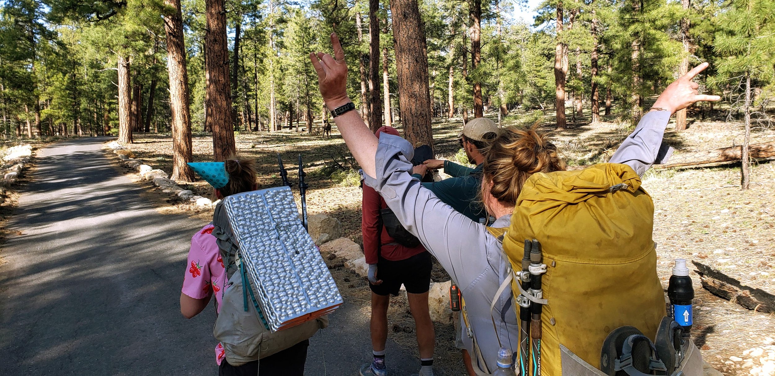
We ended our day at the 80-foot-tall Grandview Lookout Tower near the South Rim of the Grand Canyon.
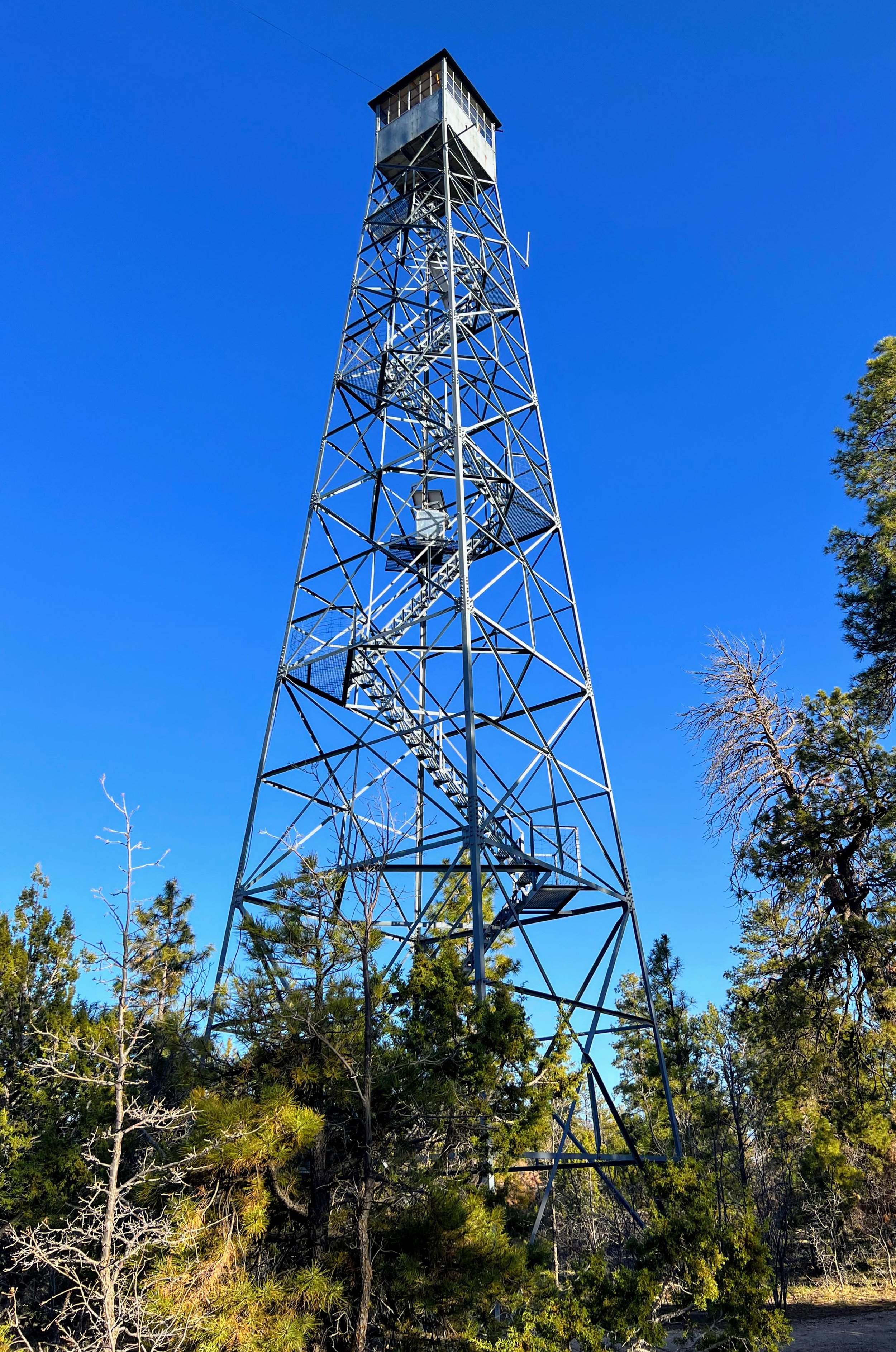
The timing was perfect. After a harrowing climb up the tower staircase we were treated to breathtaking views across the canyon at sunset.
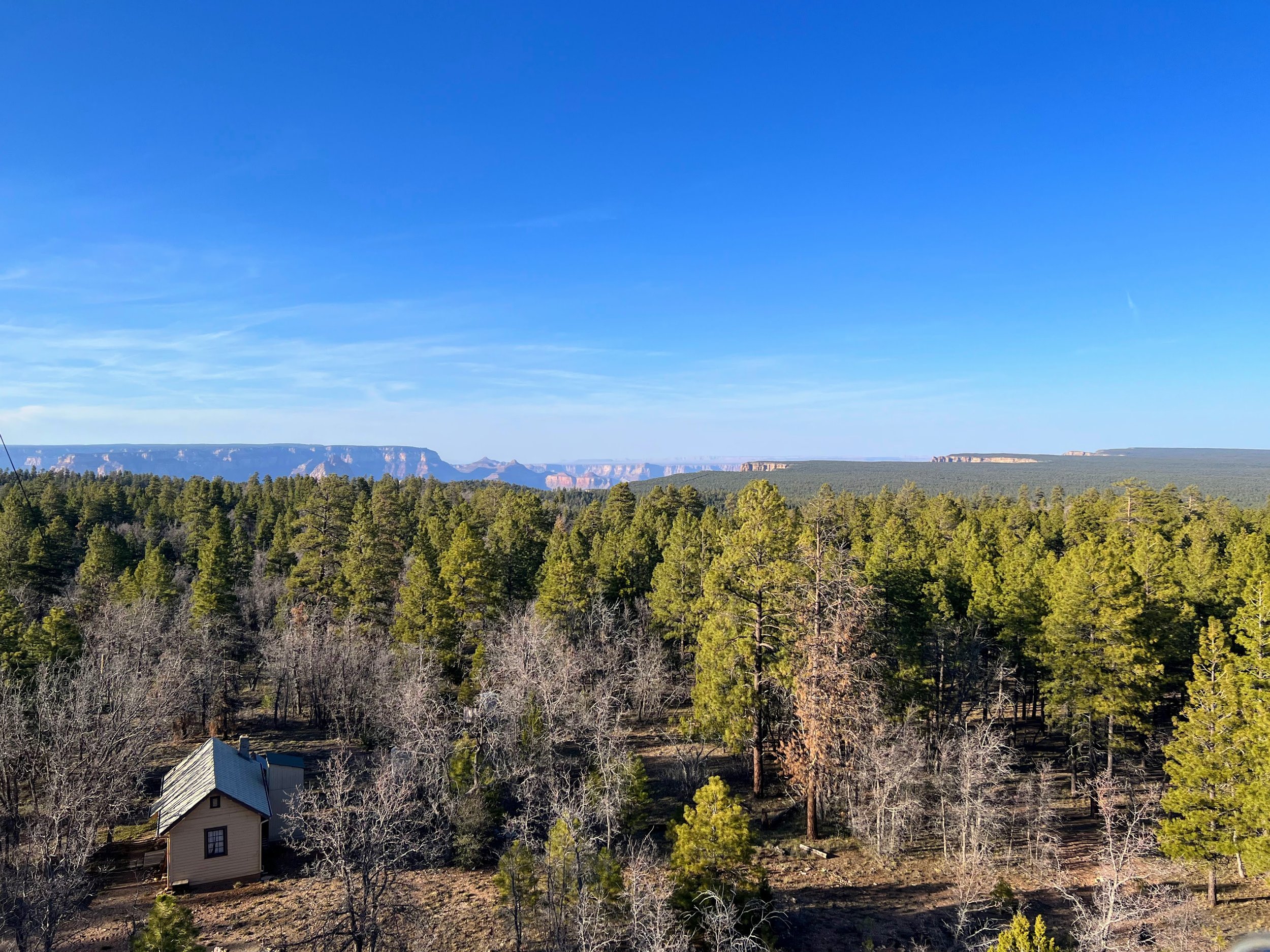
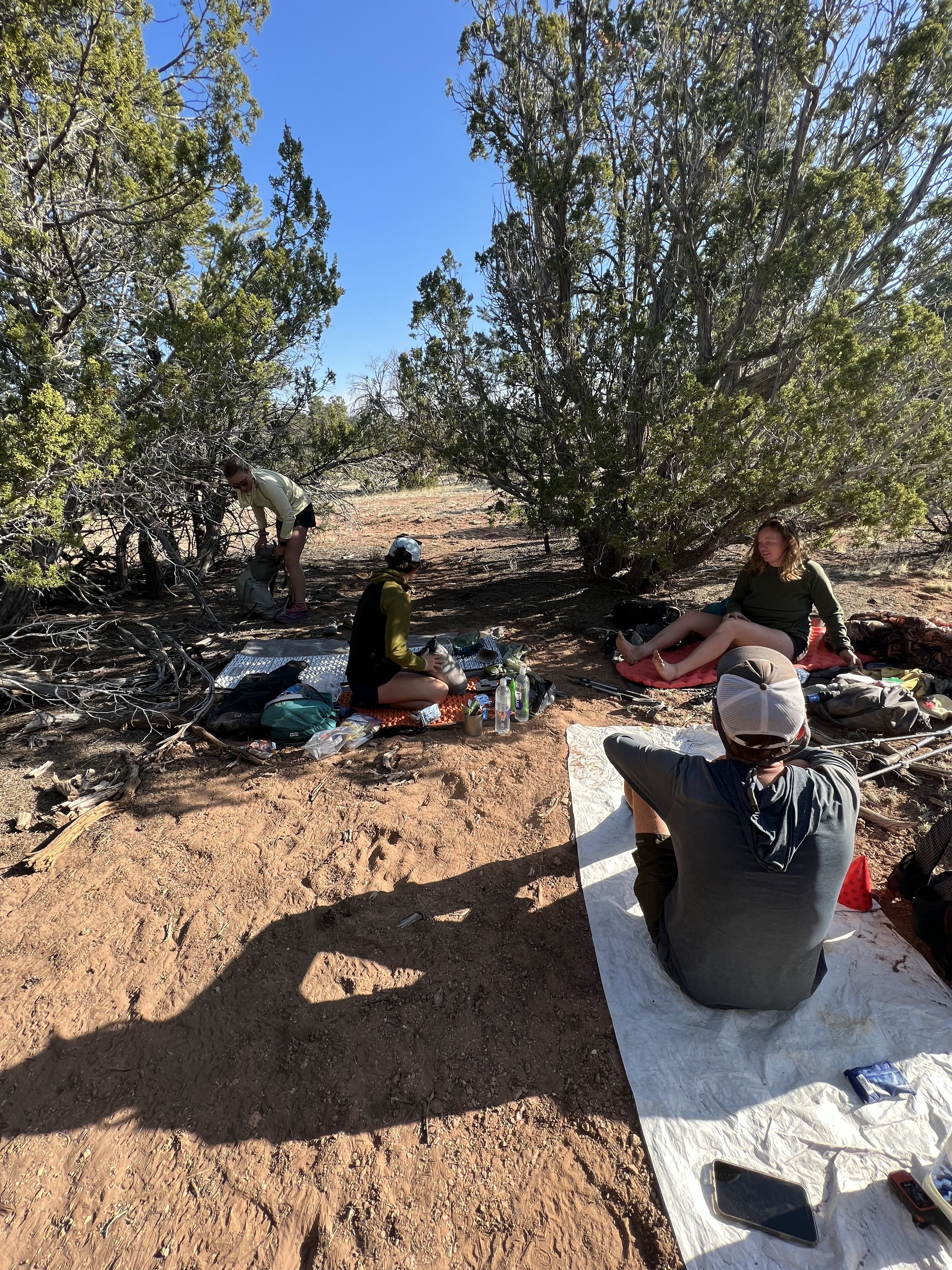
Near the tower, 12 of us camped under the shade of pine trees, without tents, on a bed of soft pine needles.

Campsite Night 37 (photo taken in the morning)
Amongst the group there was a palpable sense of excitement for the trail ahead.
Day 38 | April 28, 2022
22.0 Miles
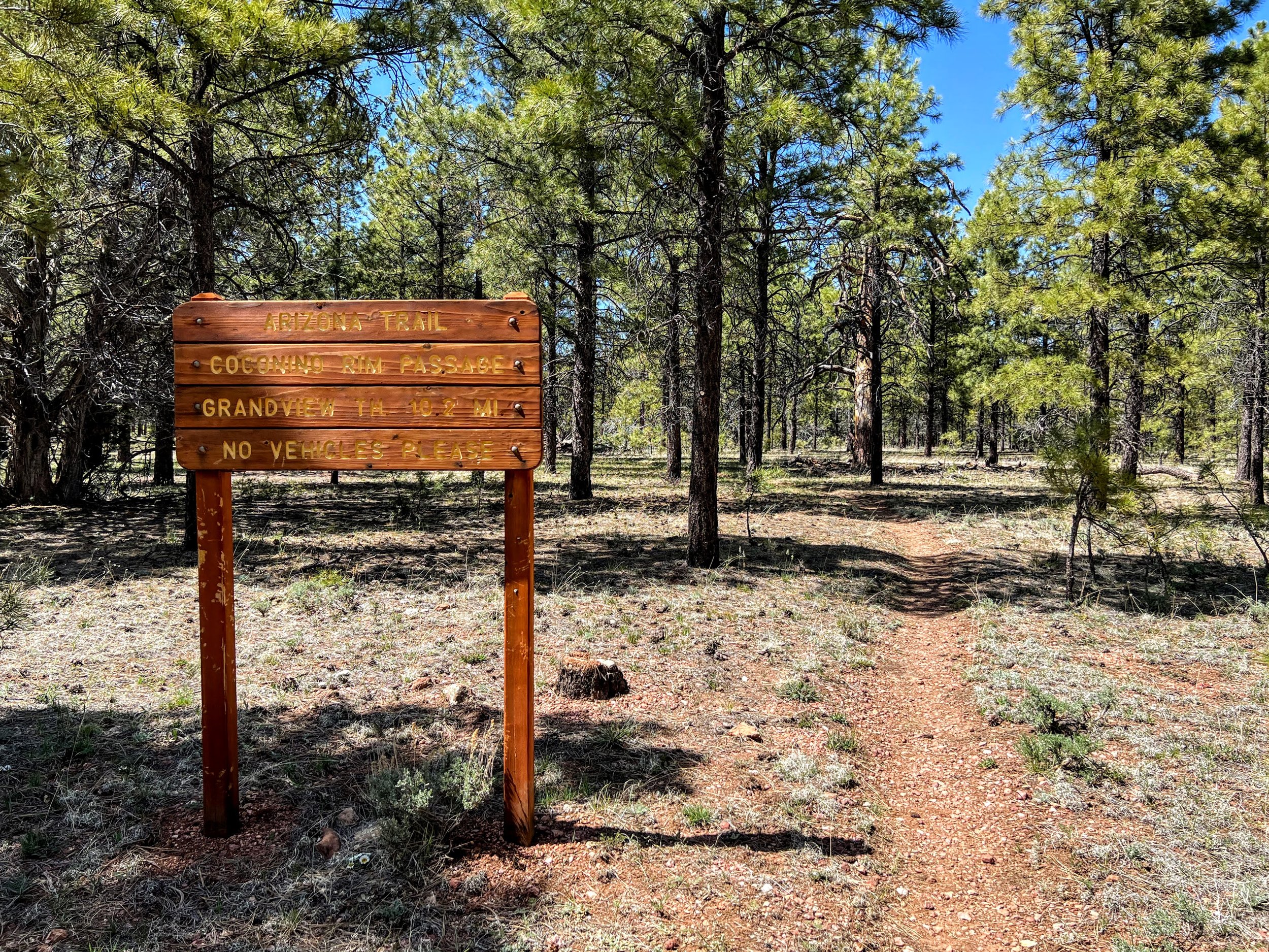
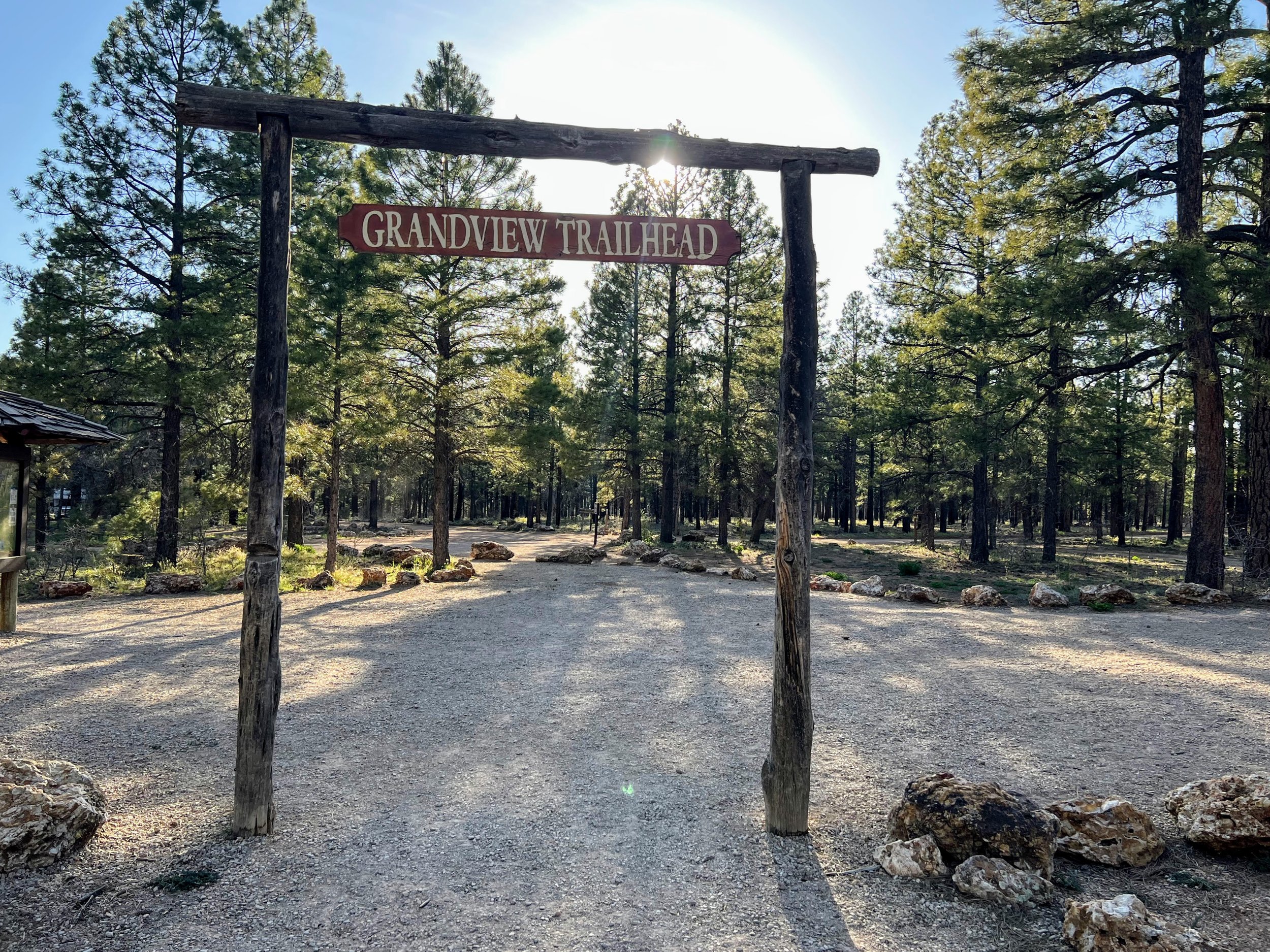
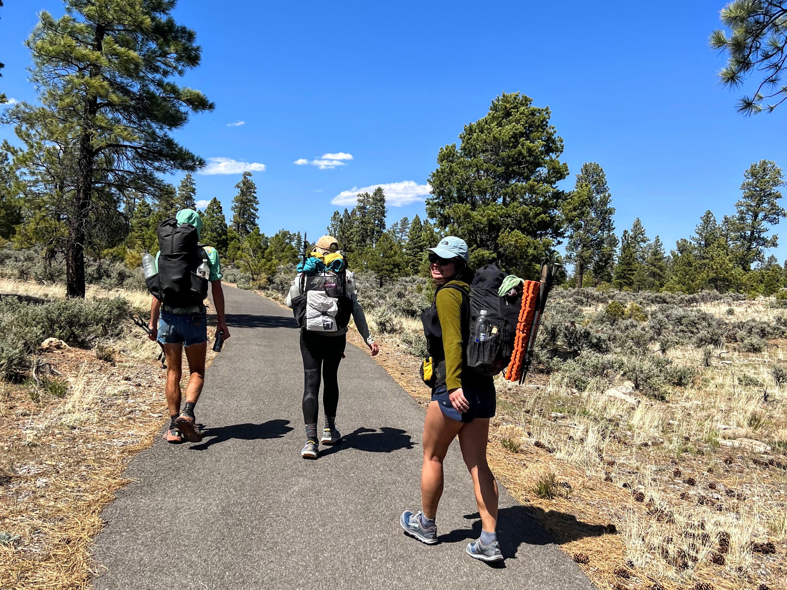
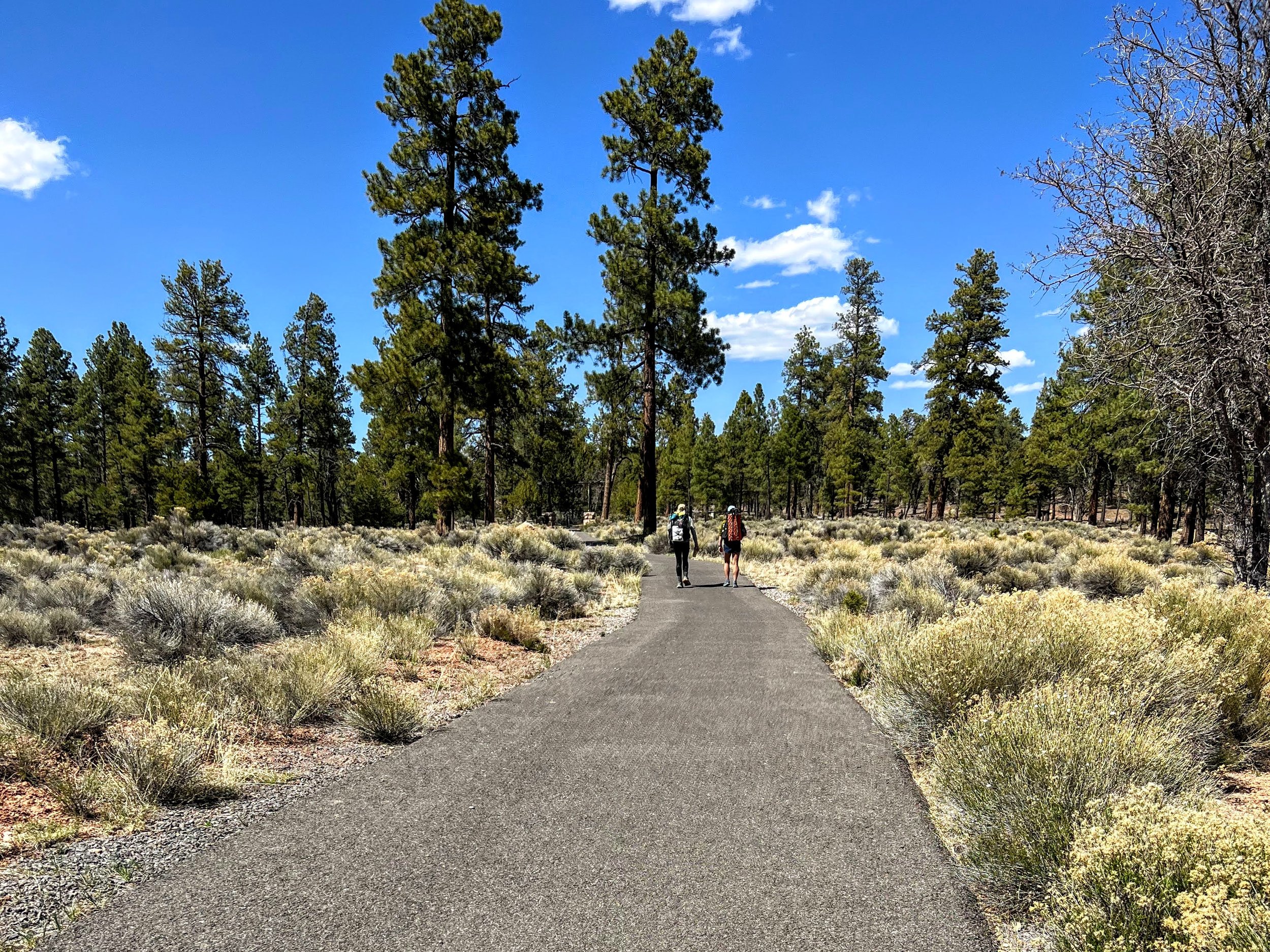
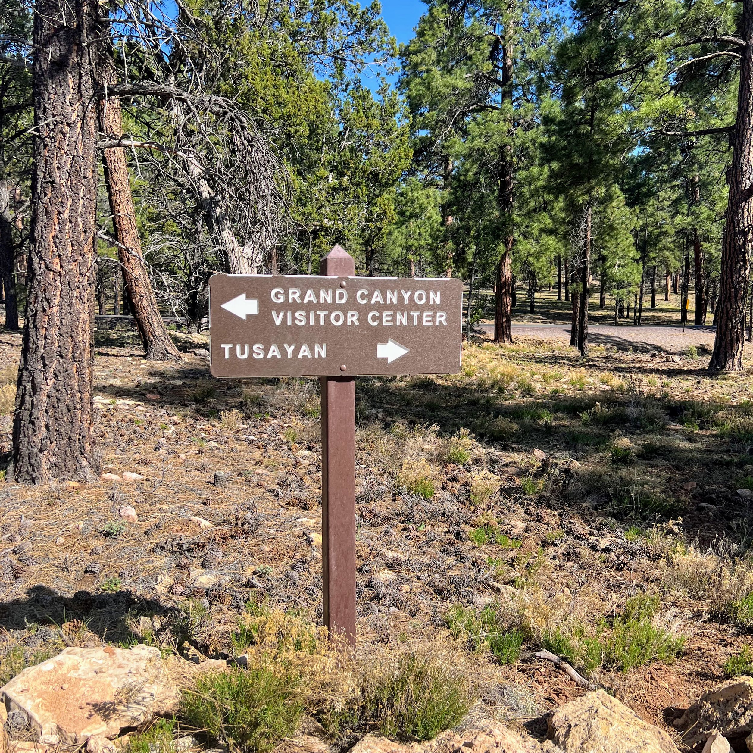
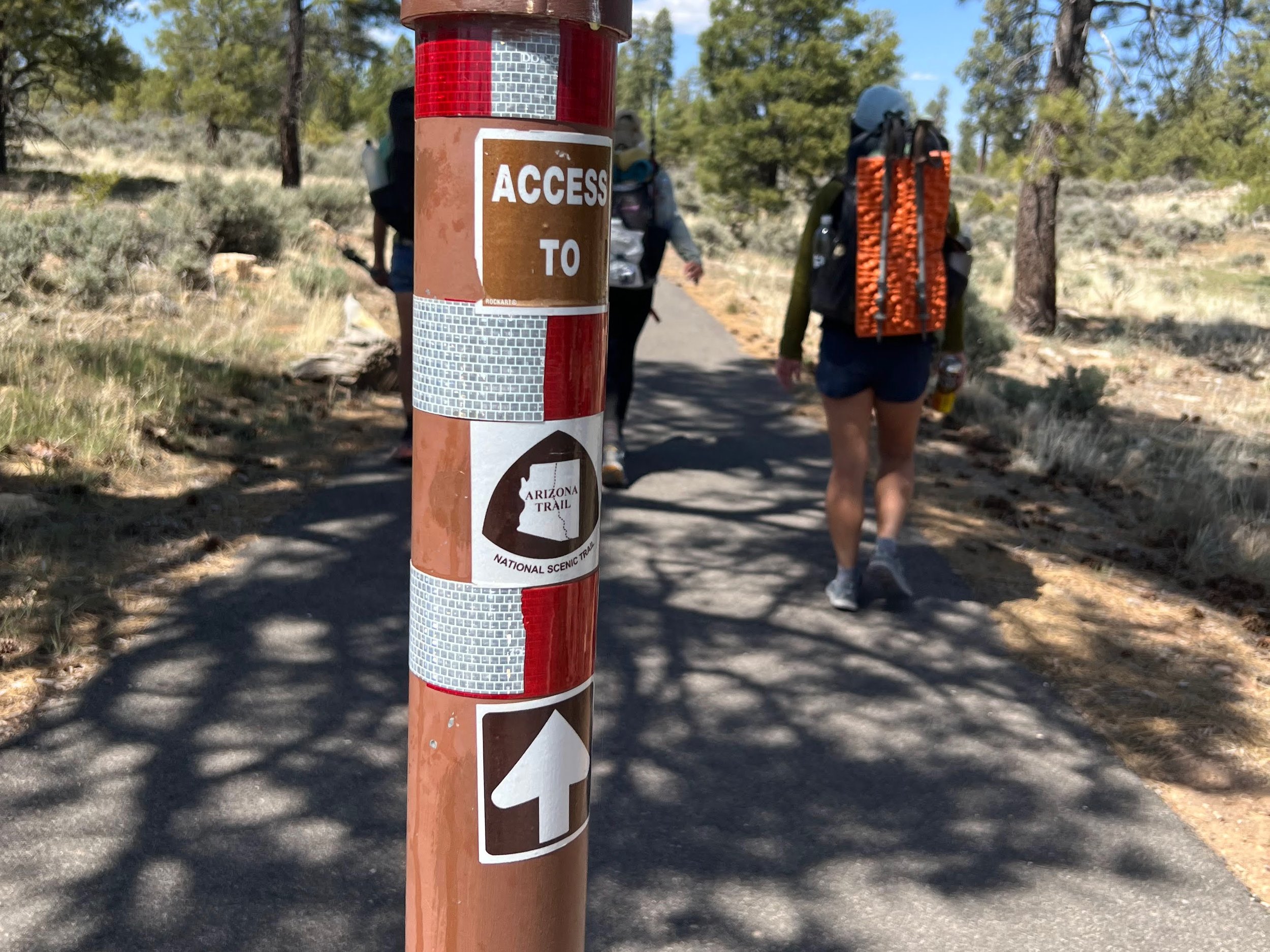
The Grandview Lookout Tower marks the beginning of Passage 37. From there, the route follows the Tusayan Bike Paths toward Tusayan and then enters Grand Canyon National Park.


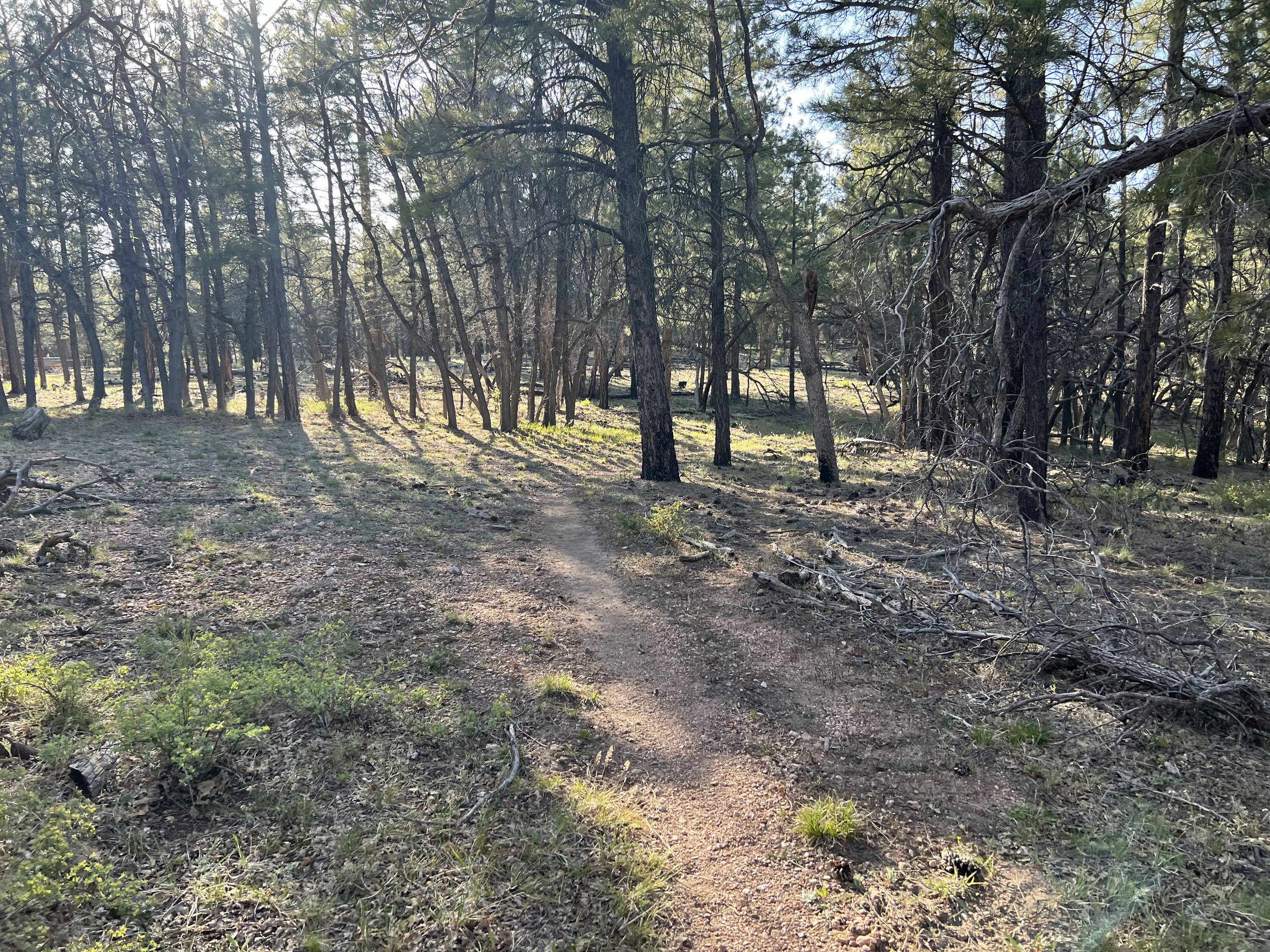
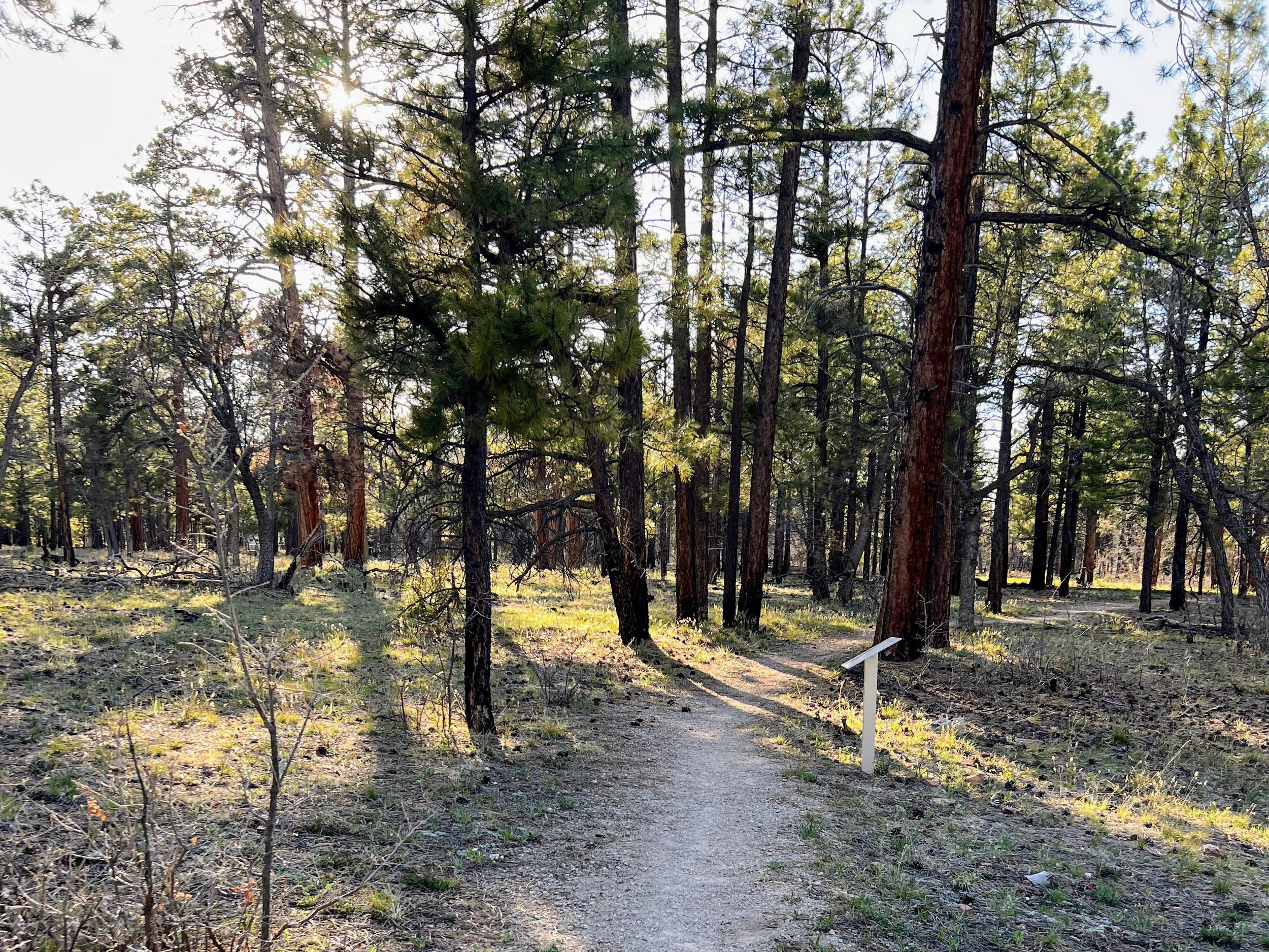
This section of the trail was flat and easy, passing through beautifully forested terrain with minimal elevation changes.
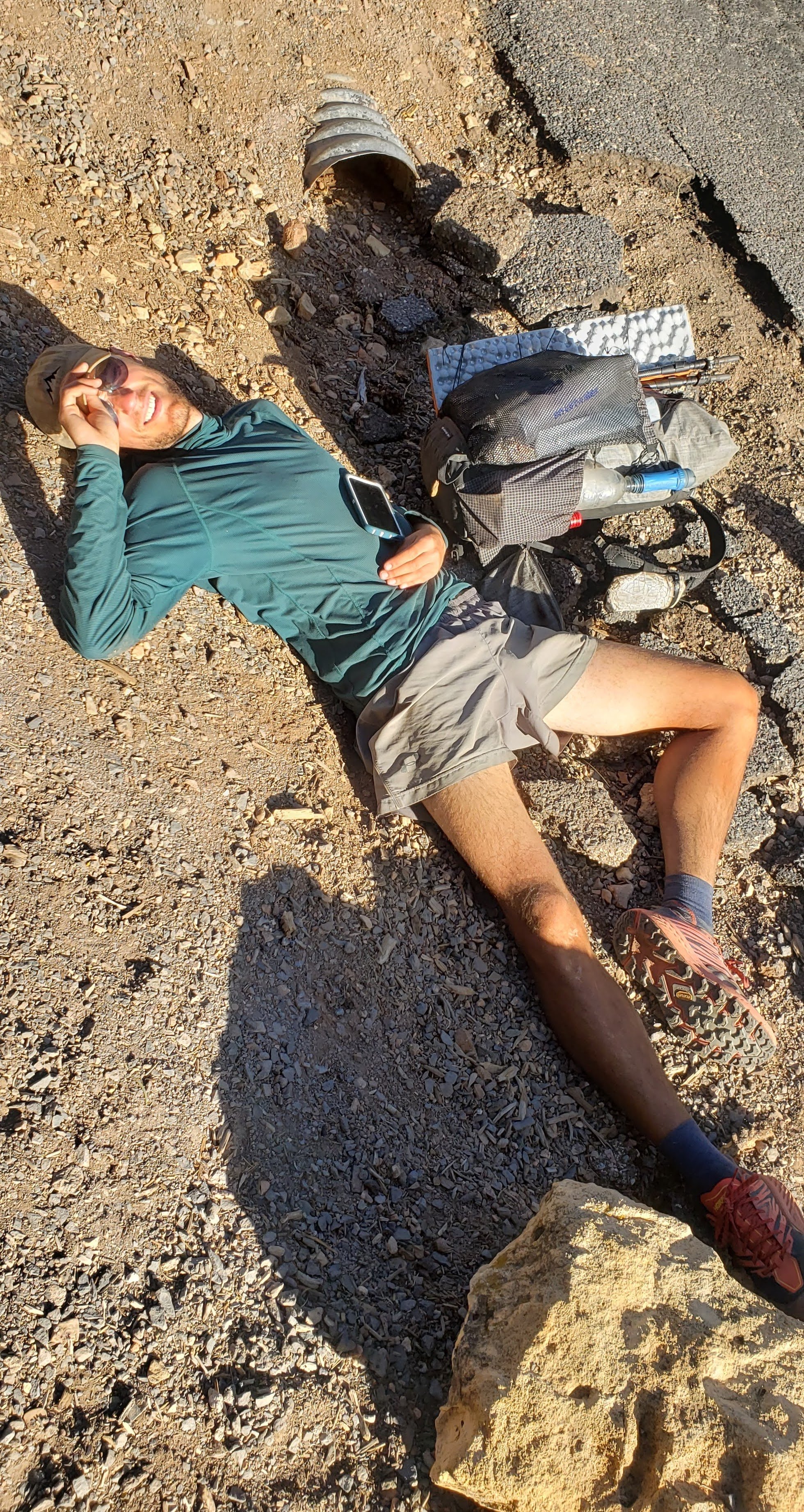
At 9:00am, I accepted a PBR from a biker with the trail name "Cake," who was a friend of Motown and Bad Camper.

Trail magic from Cake
The trail goes right through the small town of Tusayan, where we stopped for lunch and I ate way too much Mexican food.


In the park, we walked the paved Greenway Trail to Grand Canyon Village.
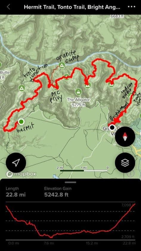
Silver Bullet took charge of getting our Grand Canyon permit and organizing a special "trailcation" for our group. This involved deviating from the Arizona Trail for a day to explore more of the Grand Canyon. Our permit allowed us to descend to the Colorado River via the Hermit Trail and camp at Granite Rapids. We would then reconnect with the AZT by following the scenic Tonto Trail.
After successfully securing our permit, we indulged in some overpriced food from the general store, enjoyed refreshing showers, and took care of our laundry.

Me enjoying a pint of vegan ice cream without a spoon
Then we made our way to Mather Campground, fully embracing the "normie" camping lifestyle for the night.

