Condor Trail Part 5: Ragged Point to Cone Peak Road
Day 22 | June 5, 2025
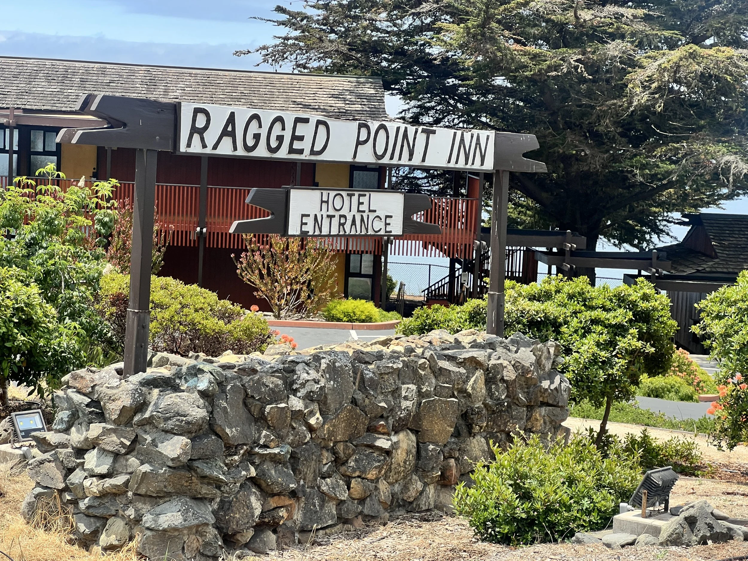
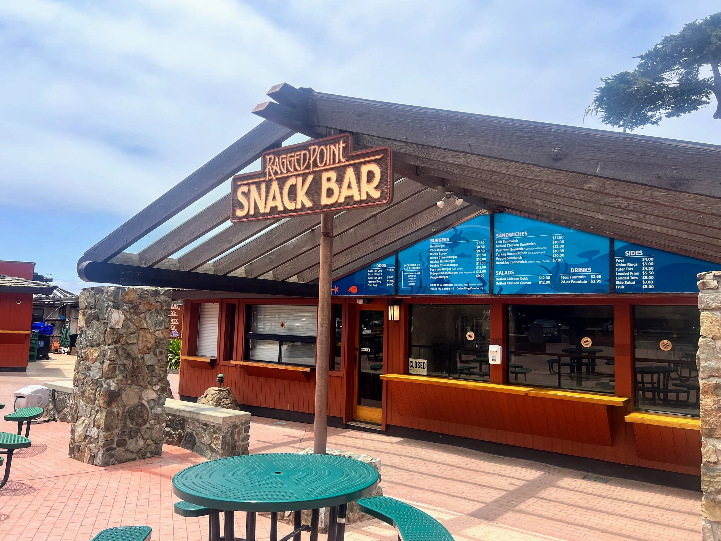
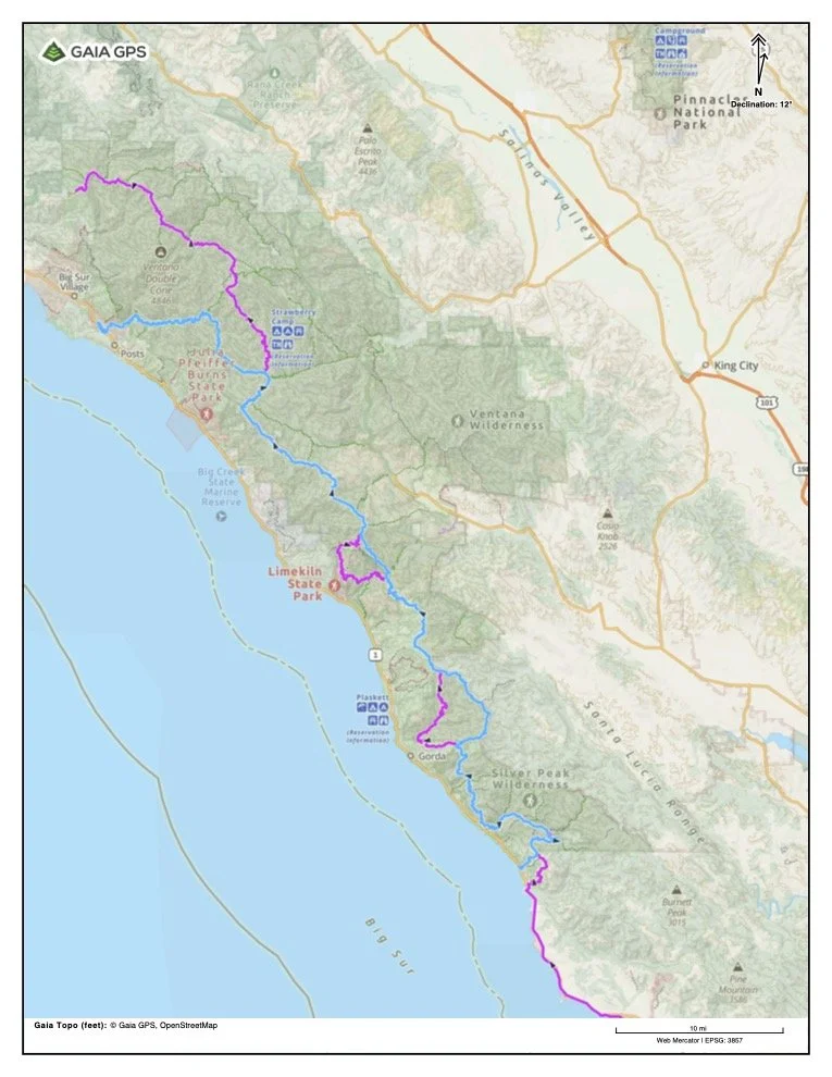
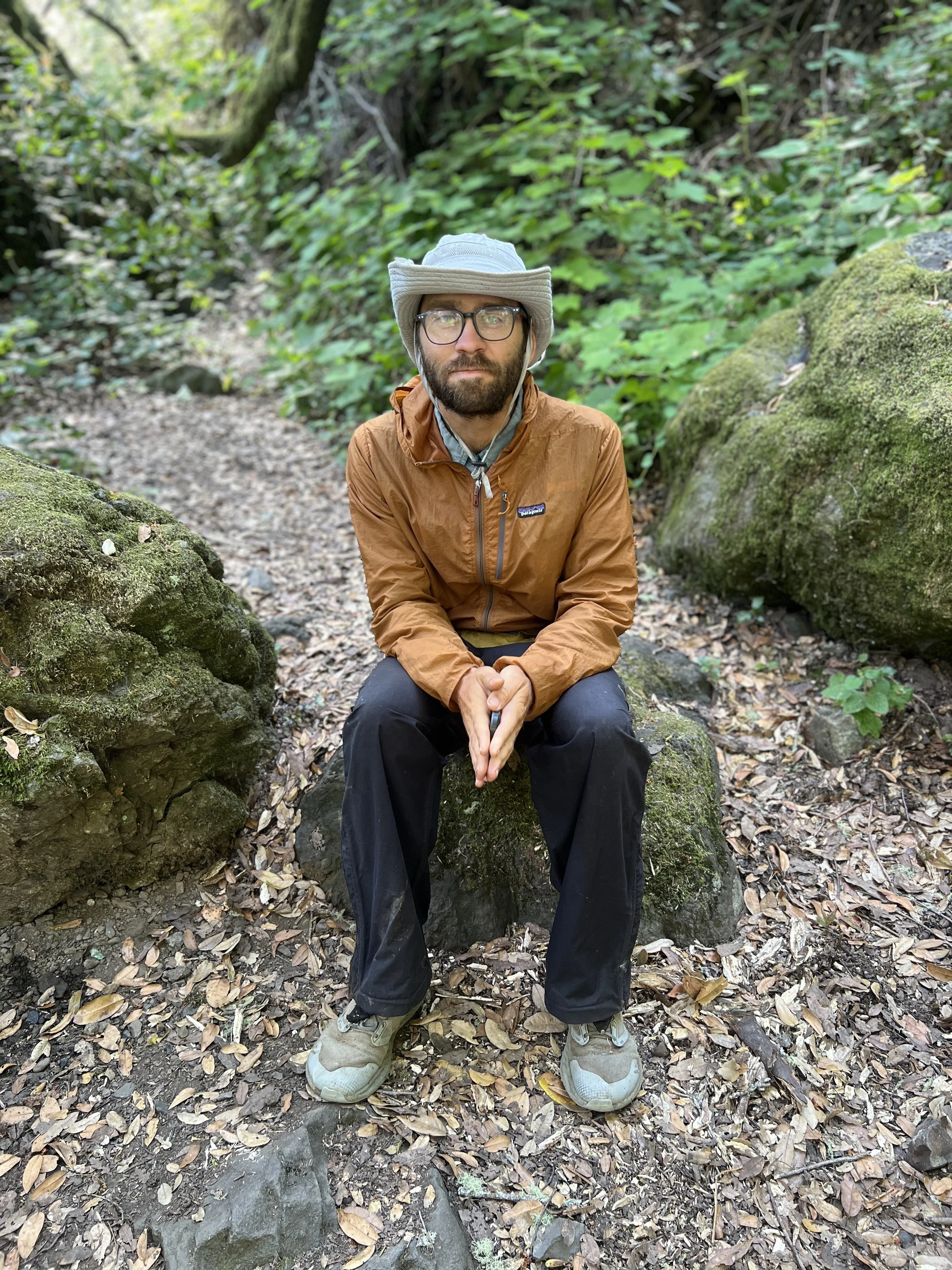
We walk to the Ragged Point Inn, pick up our boxes, and treat ourselves to breakfast at the café. Sitting outside, we try to piece together a plan for Big Sur, how to get through in the best way possible, how to skirt around the burn scar areas and impassable sections swallowed by poison oak and brush. We study BigSurTrailMap.net’s color-coded trail map and trail conditions layers, using that information to map an alternate route in Gaia that links together the strongest, most viable trails we can find. We click into individual trails to see what information is available—trip reports, notes, current beta, and user comments. When there’s no recent beta at all, we take that as a clear sign that a trail is either in rough shape or no longer maintained.
With that in mind, we piece together existing trails to form a continuous, roadless route that carries us through the rest of Big Sur and back to the car. The reroute simplifies the logistics and hopefully offers a more scenic, manageable, and far less frustrating way to finish the hike than sticking to an idealized line on a map.
I pull off my shoe to clean up a blister that’s been bothering me. Guests start filling the patio, and I’m sure my bare foot isn’t the most appetizing sight over their pancakes.
We briefly get back on Highway 1. I’m listening to The Four Winds on audiobook. They mention a “bindlestiff,” a wandering, vagrant sort of traveler. It feels fitting for the road underfoot, for the way we move through this coastal fog and scrub, carrying our little home on our backs.
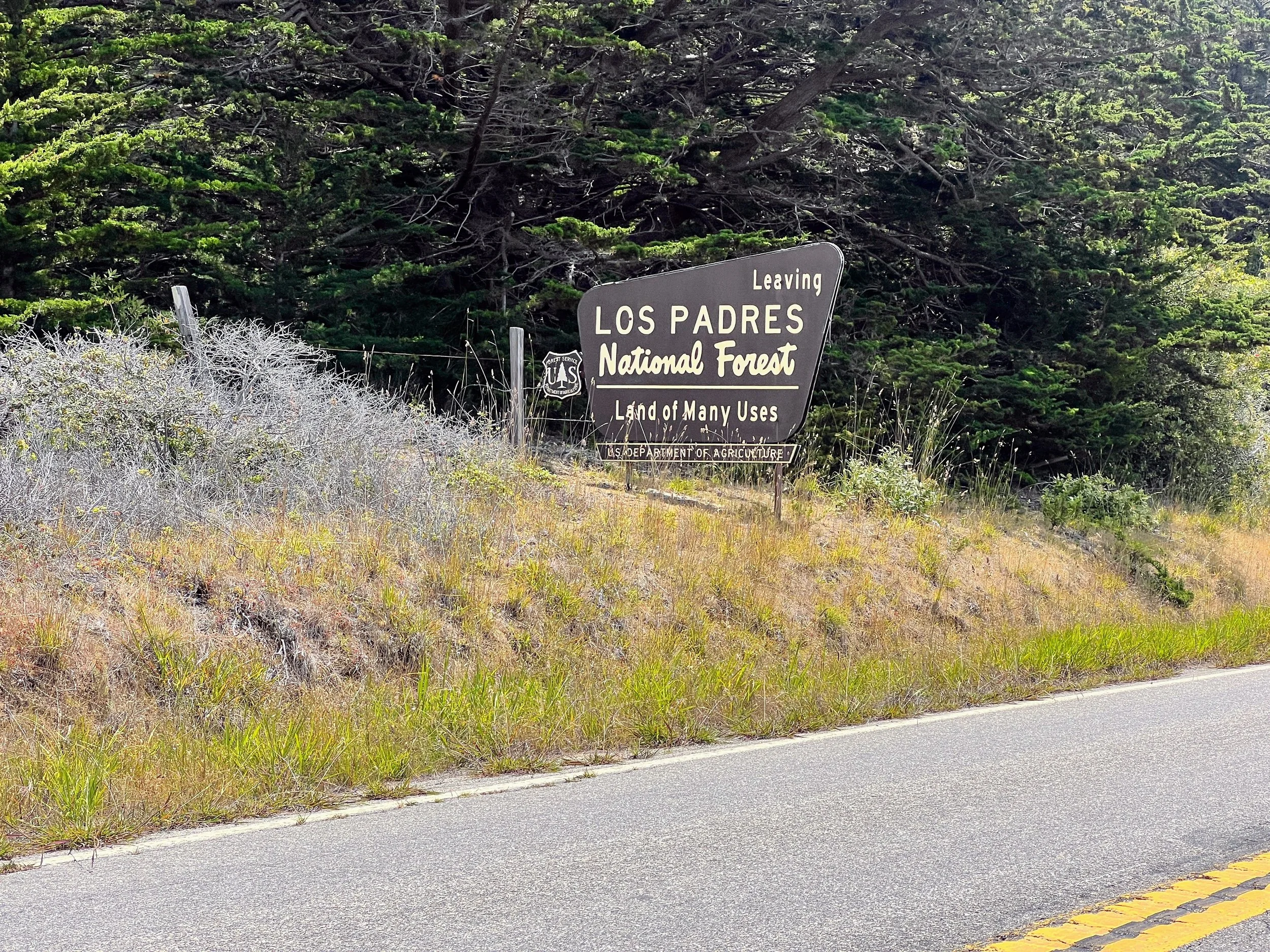
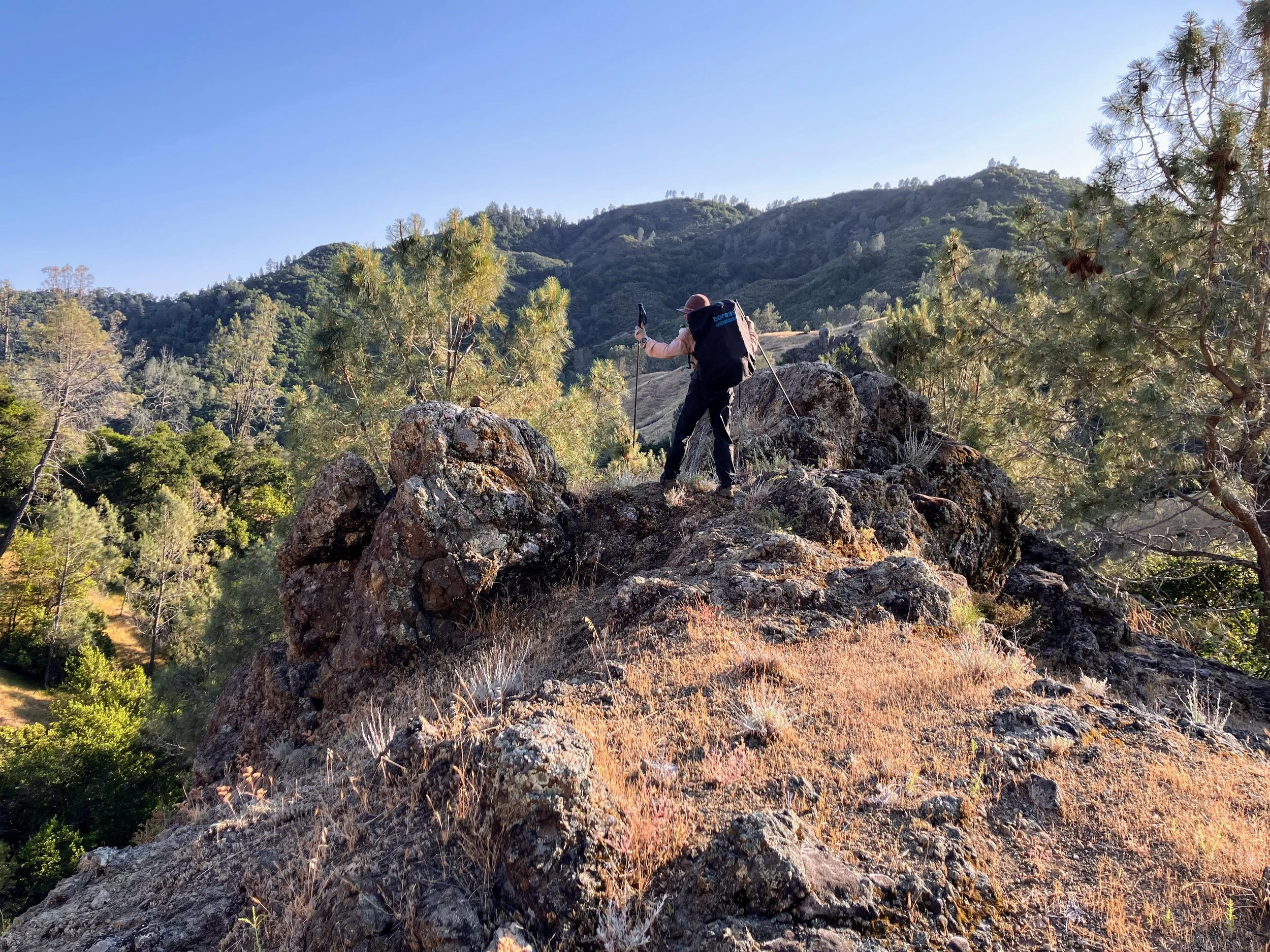
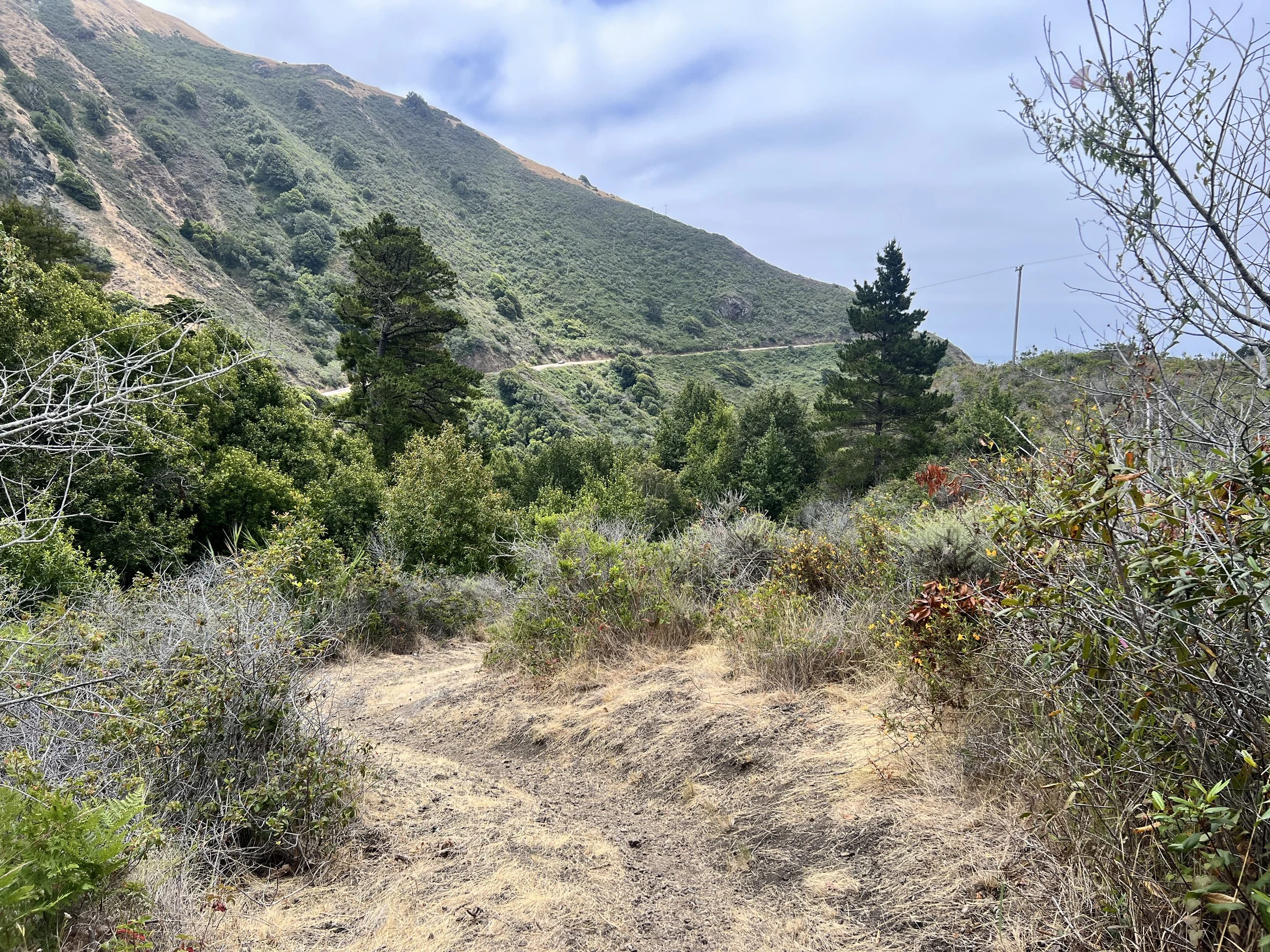
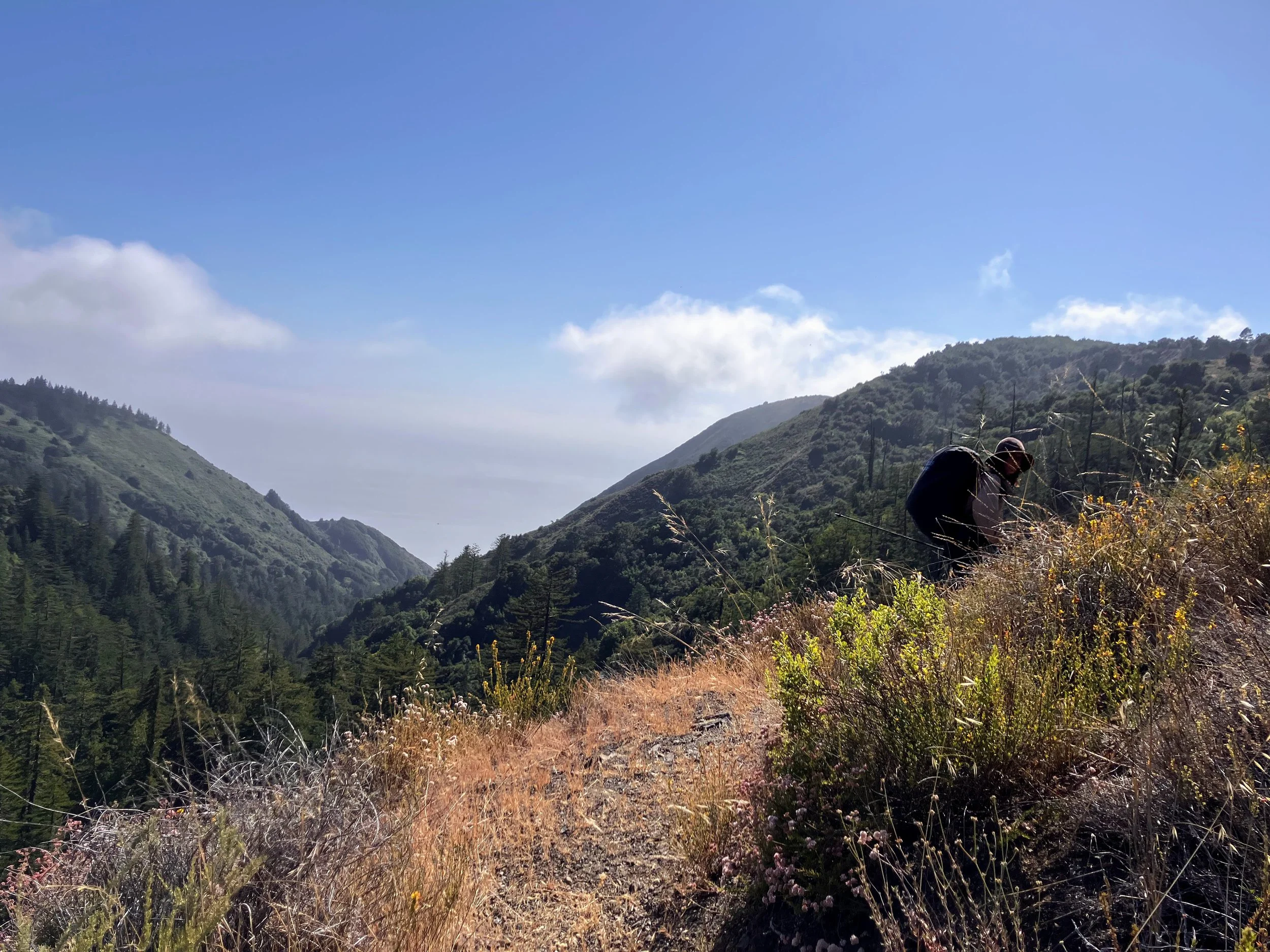
We’re open, as ever, to making this last section our own, personalizing the route. There’s an interactive trail map on BigSurTrailMap.net with updated trail conditions. Thanks to the reports on here and to the folks who maintain the site (and the trails), we were able to put together a route through Big Sur that stayed on mostly-OK trails. We veered at times from the official Condor Trail route to avoid the trails that trip reports and Addison mentioned were horrendous and impassable. From Ragged Point Inn, we leave the coast behind and head back up into the mountains. I’ve enjoyed the break from poison oak and the uniqueness of the beach hike, especially the Orr Orrs.
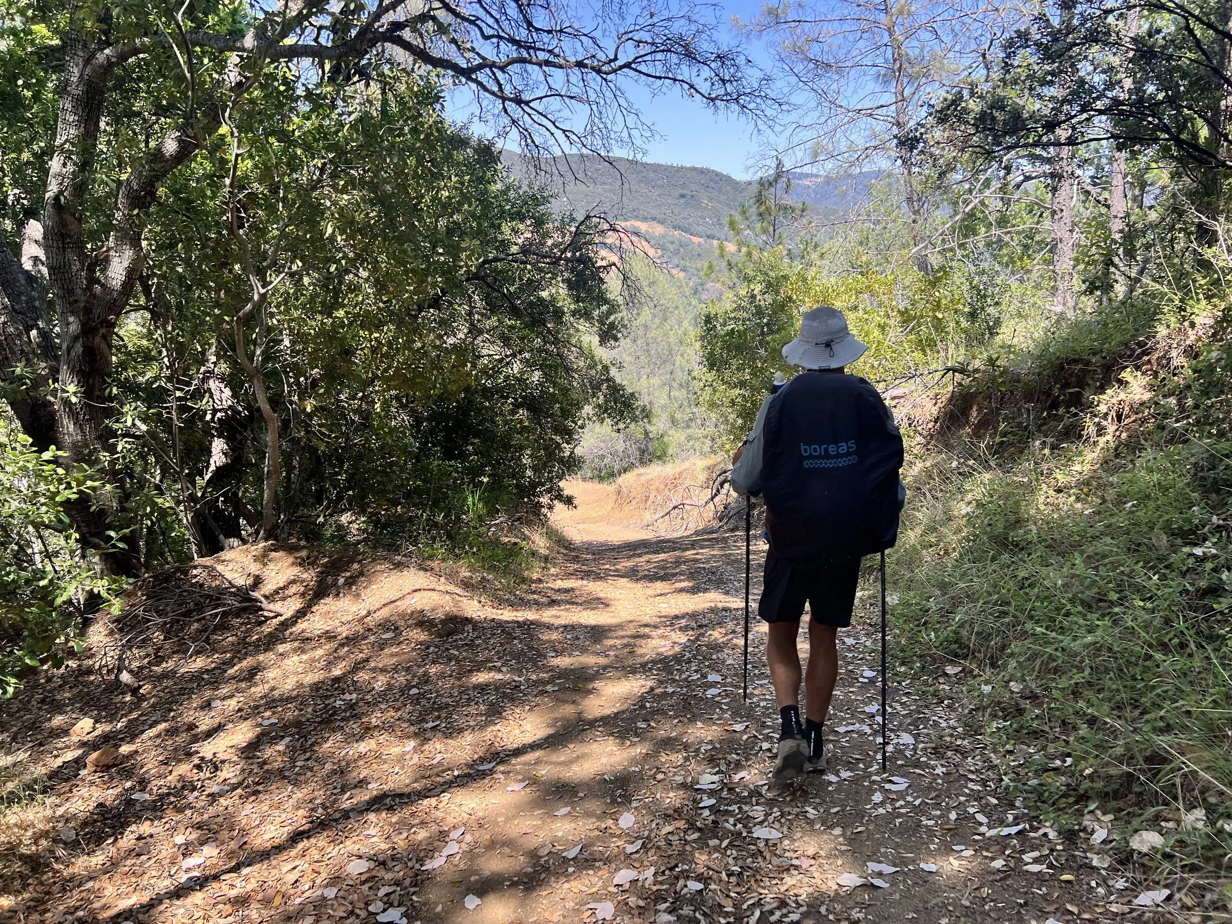
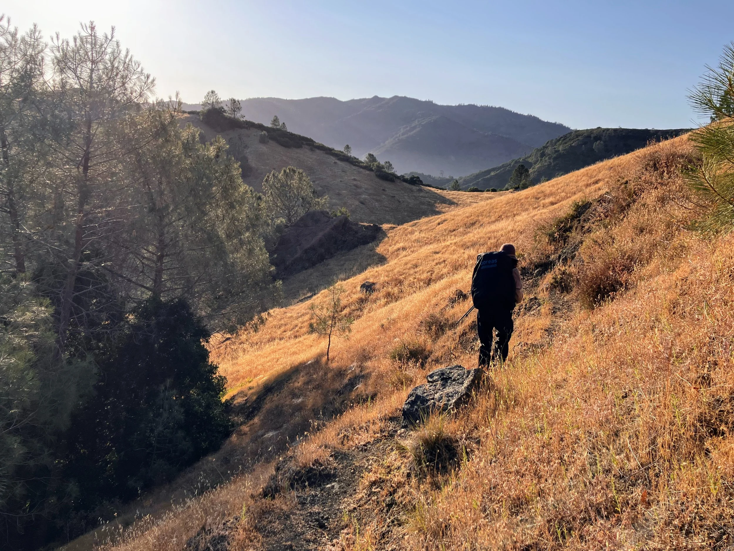
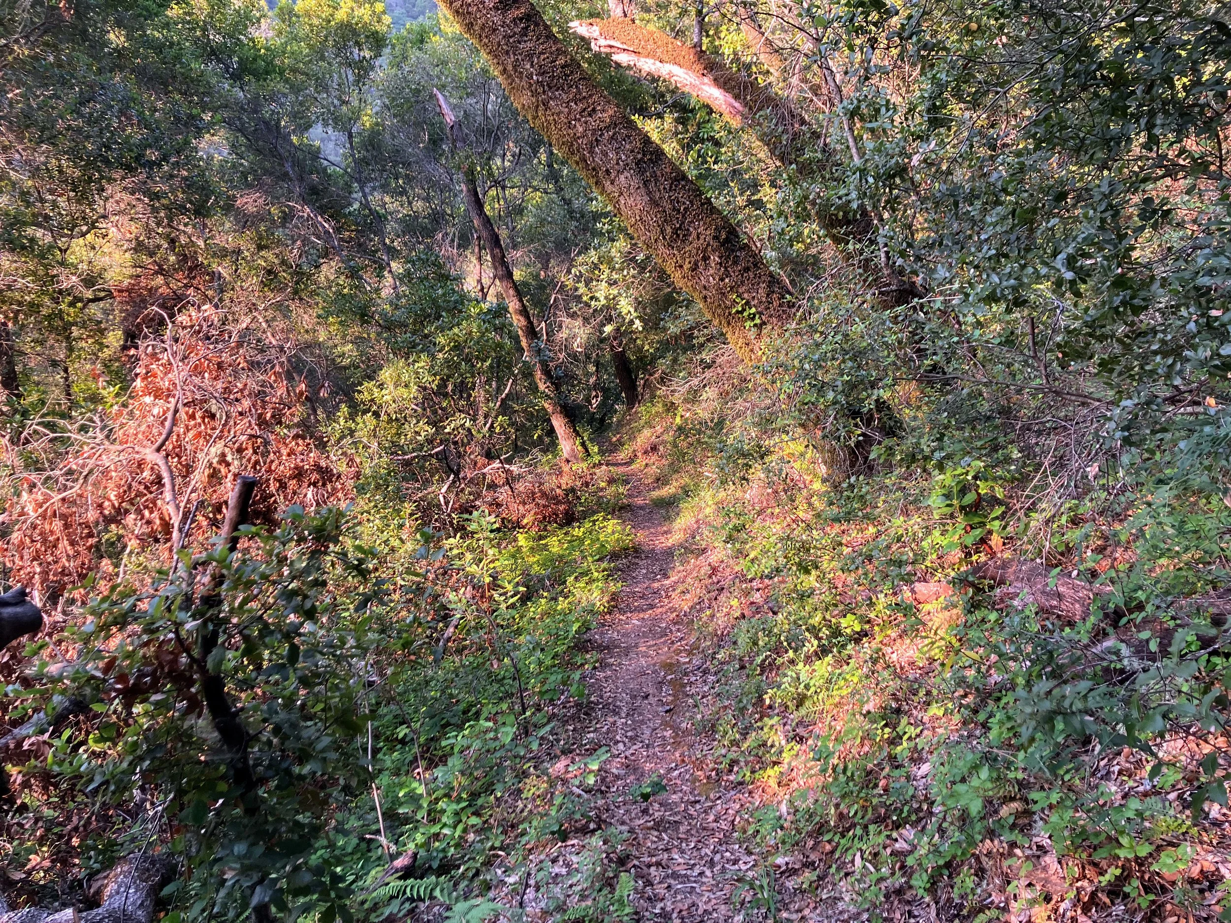
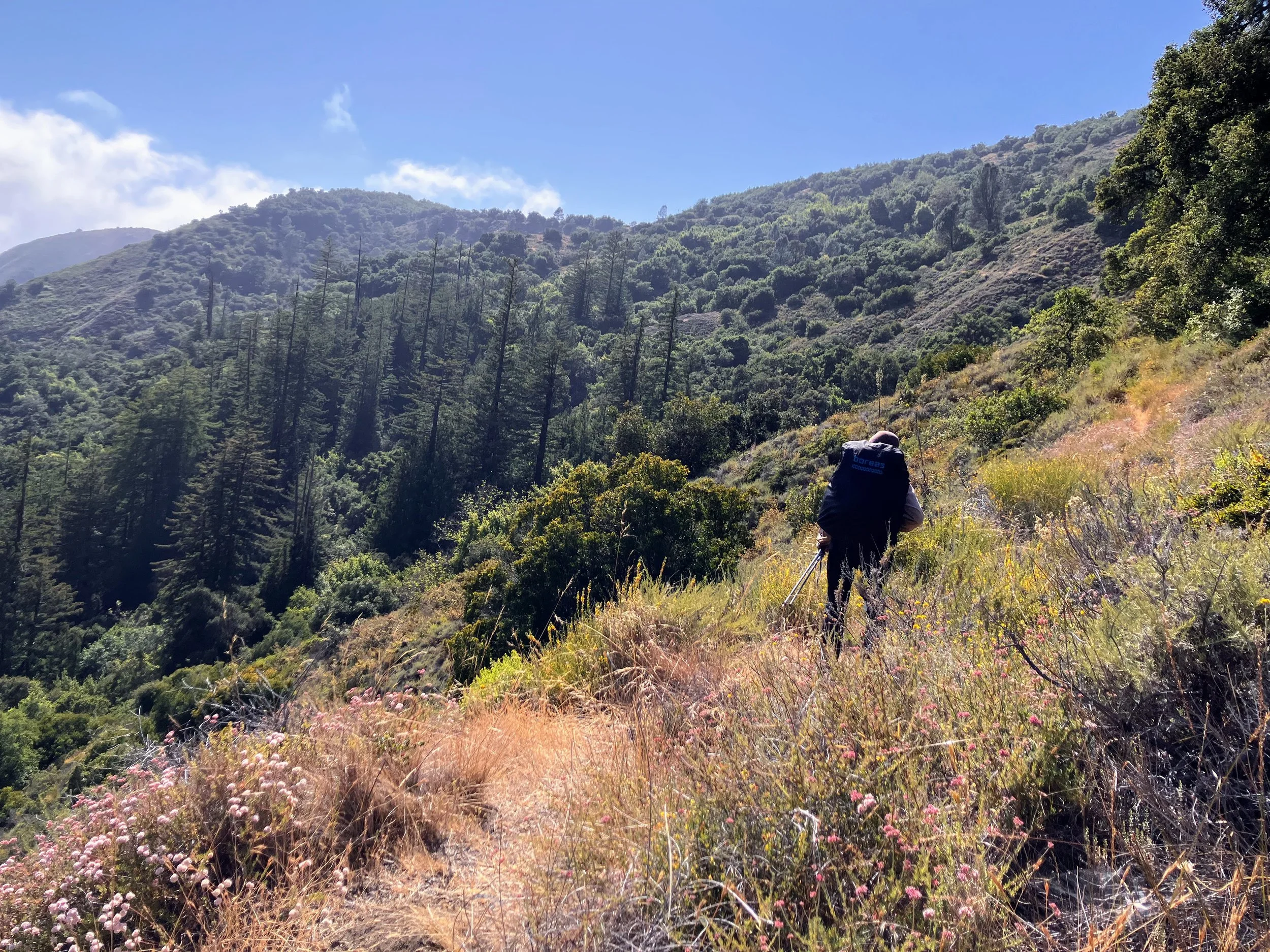
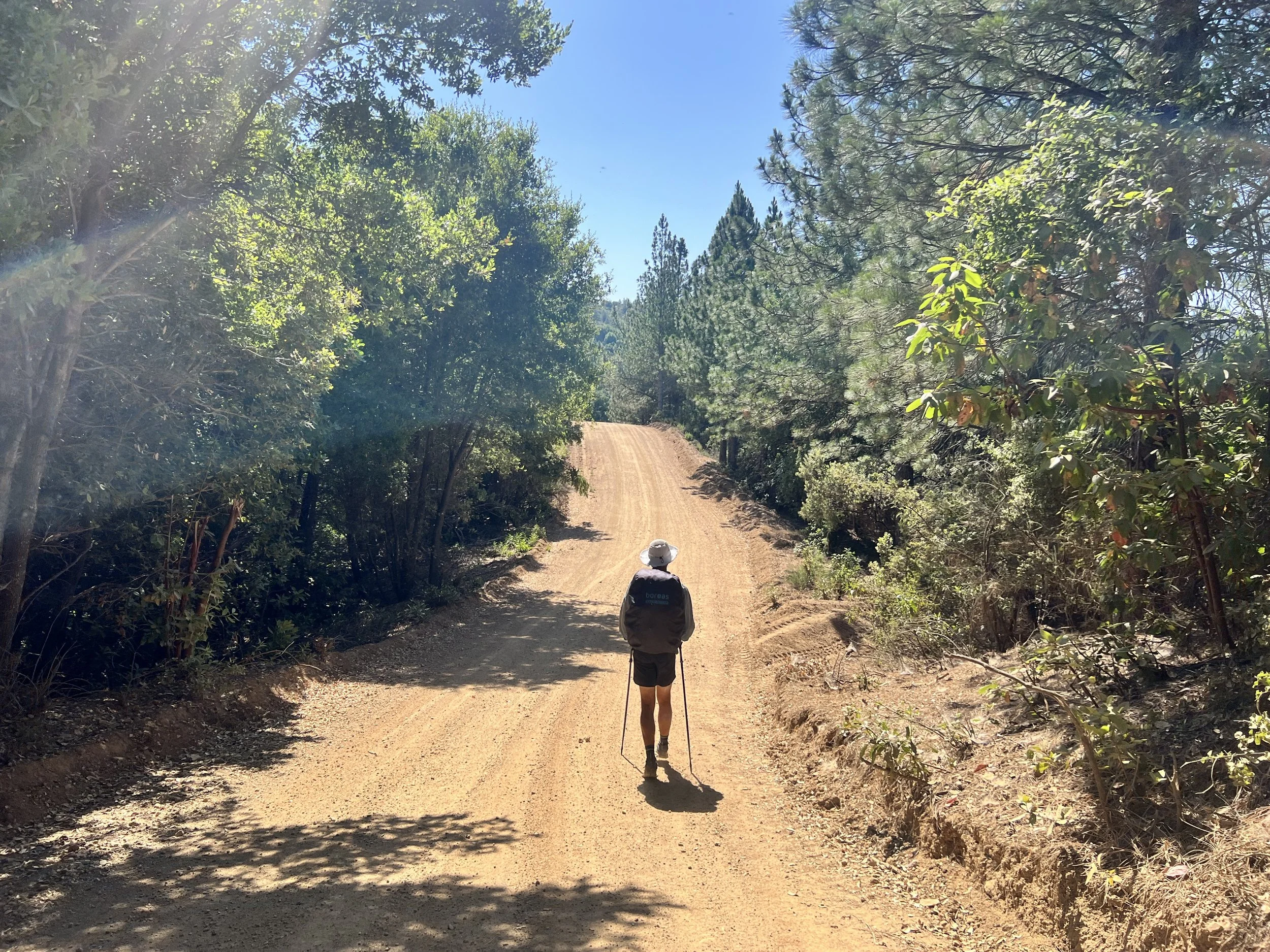
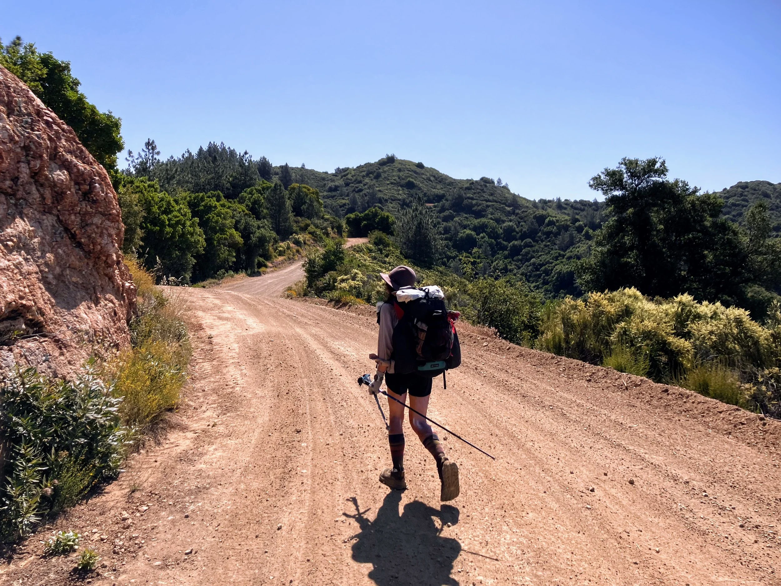
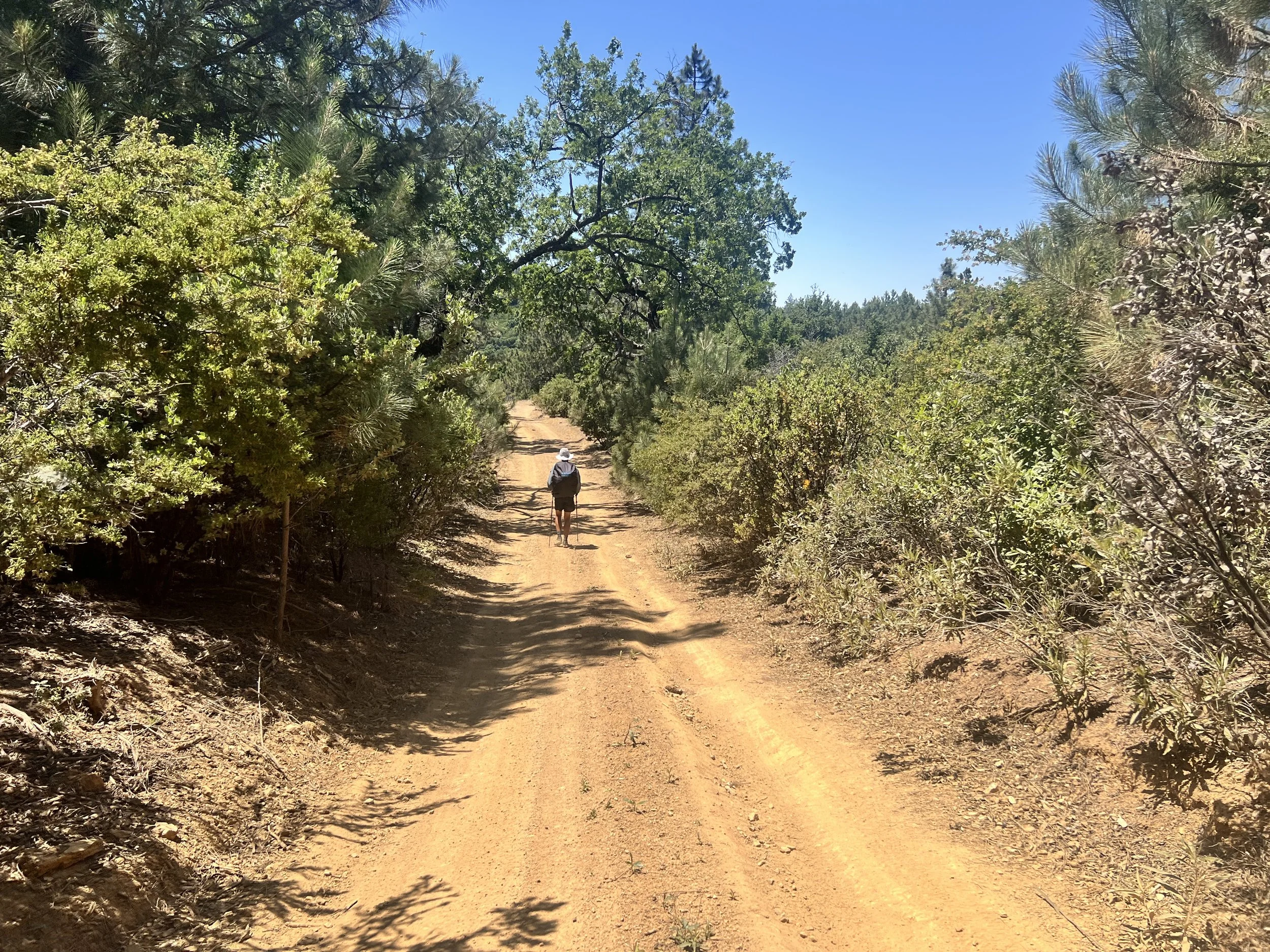
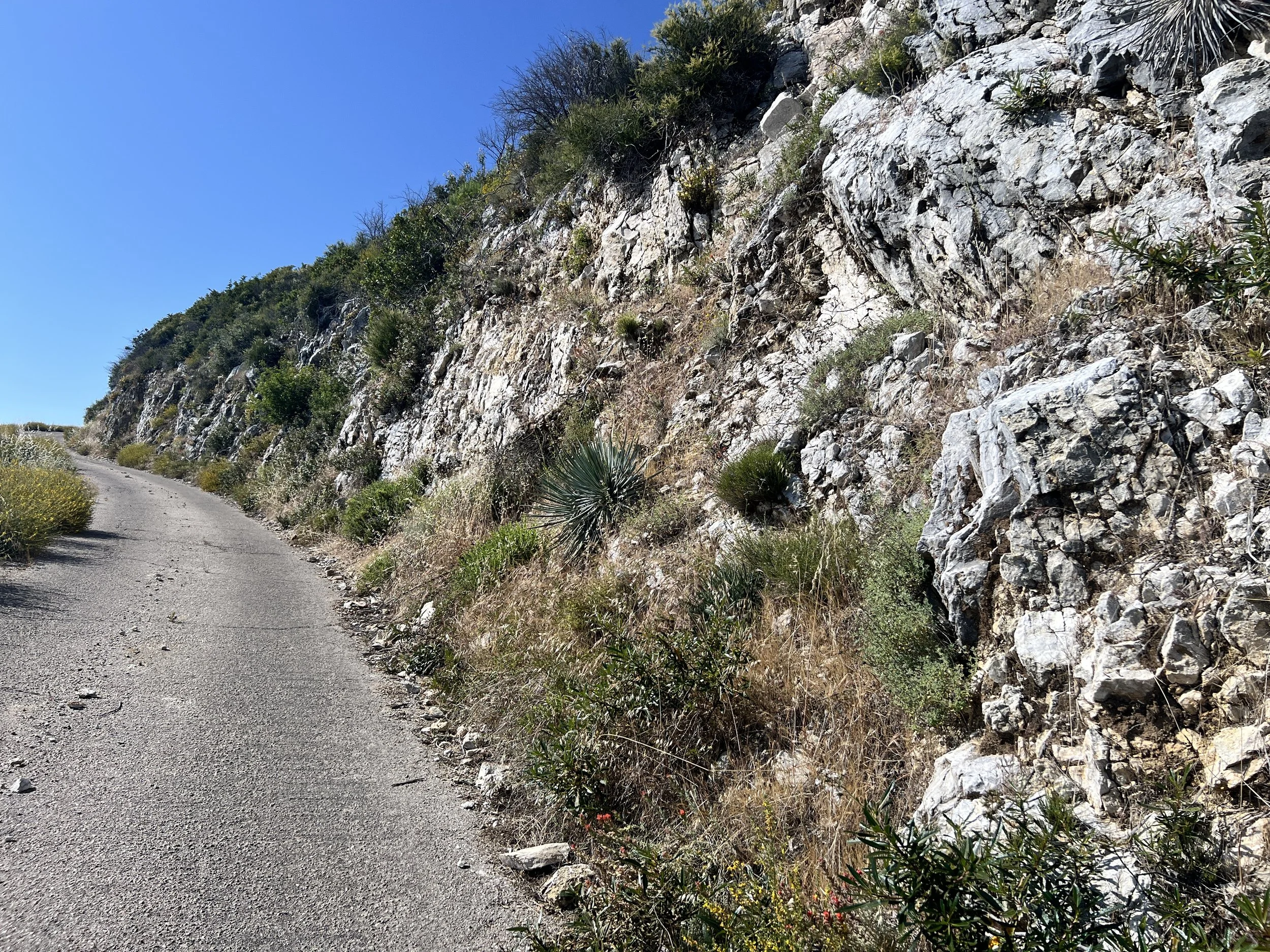
As we climb steeply up Baldwin Ranch Road, the coast falls away behind us. We leave the salty air and the hum of traffic, trading it for the sharp scent of pine and the quiet of the wilderness.
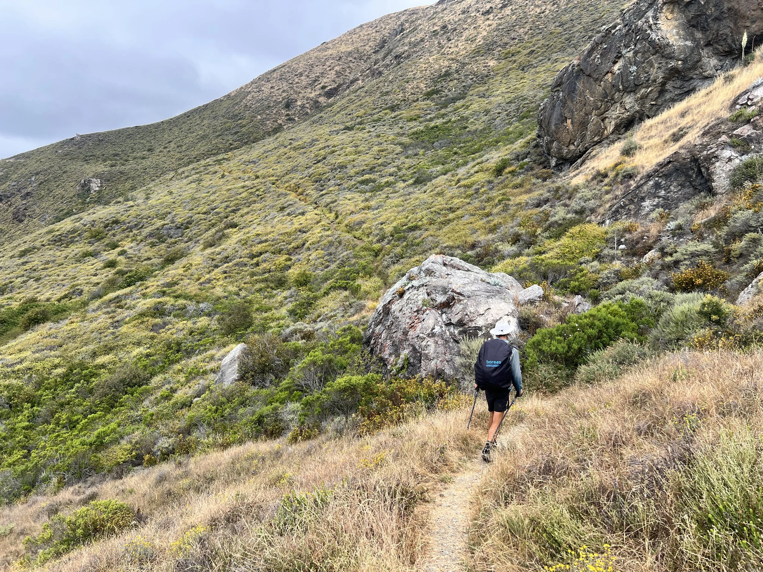
The main climb is followed by slippery descents. The dirt path is rocky and loose, giving way underfoot, and with no traction left on our shoes, every step is a slide.
No one else is out here.
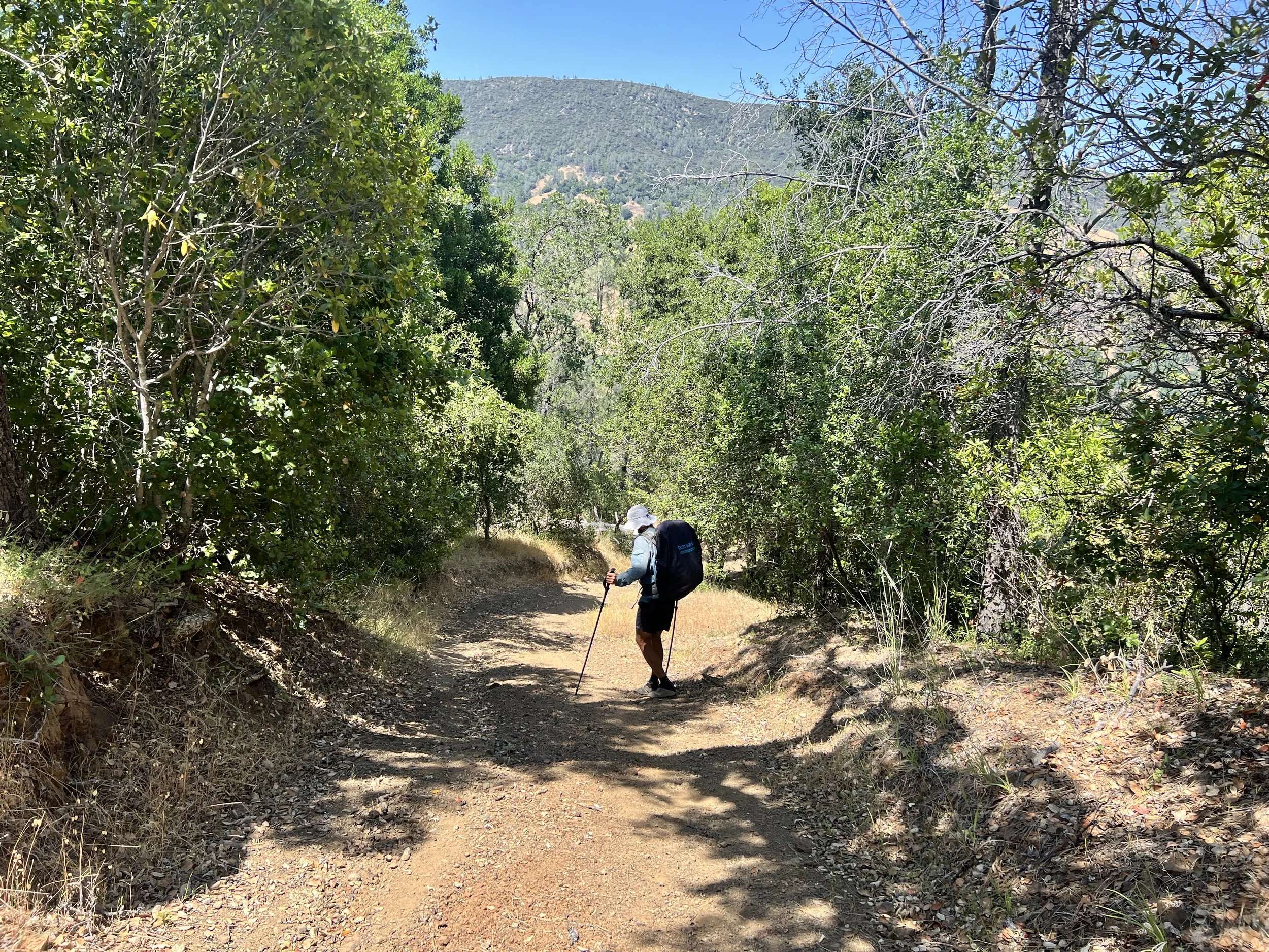
Baldwin Ranch Road runs alongside Dutra Creek, which bends south in a wide curve before it meets Spruce Creek Trail. Dutra Use Trail cuts straight across the open end of that curve, appearing on the map as a possible shortcut. I feel confident after our success taking a chance on Baldwin Ranch Road and I decide we should try it.
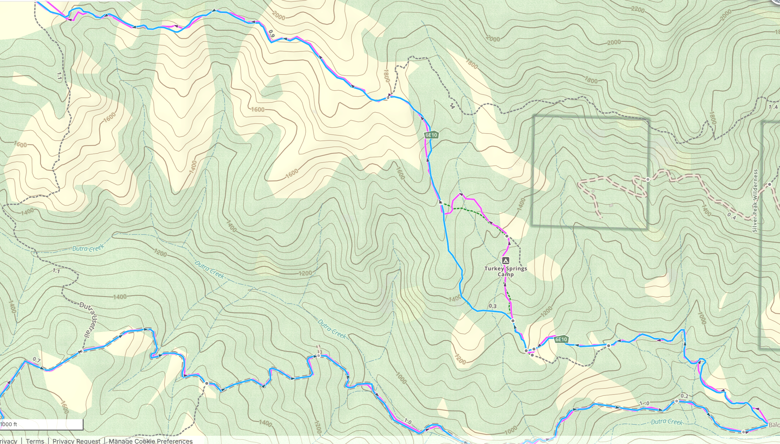
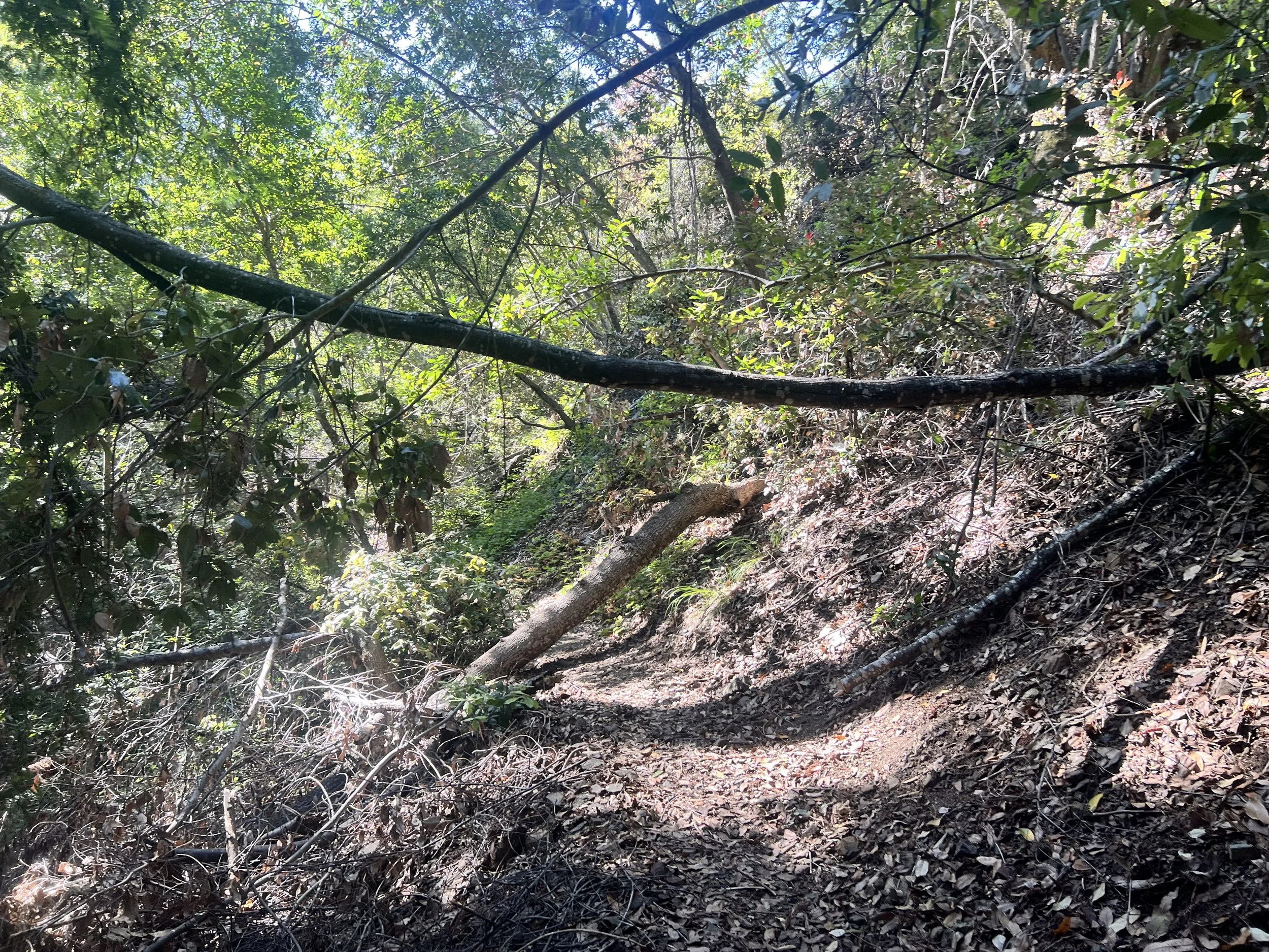
The plan fails. Don’t let the name fool you. The Dutra Use Trail sees no use, nearly invisible beneath grass and thick poison oak.
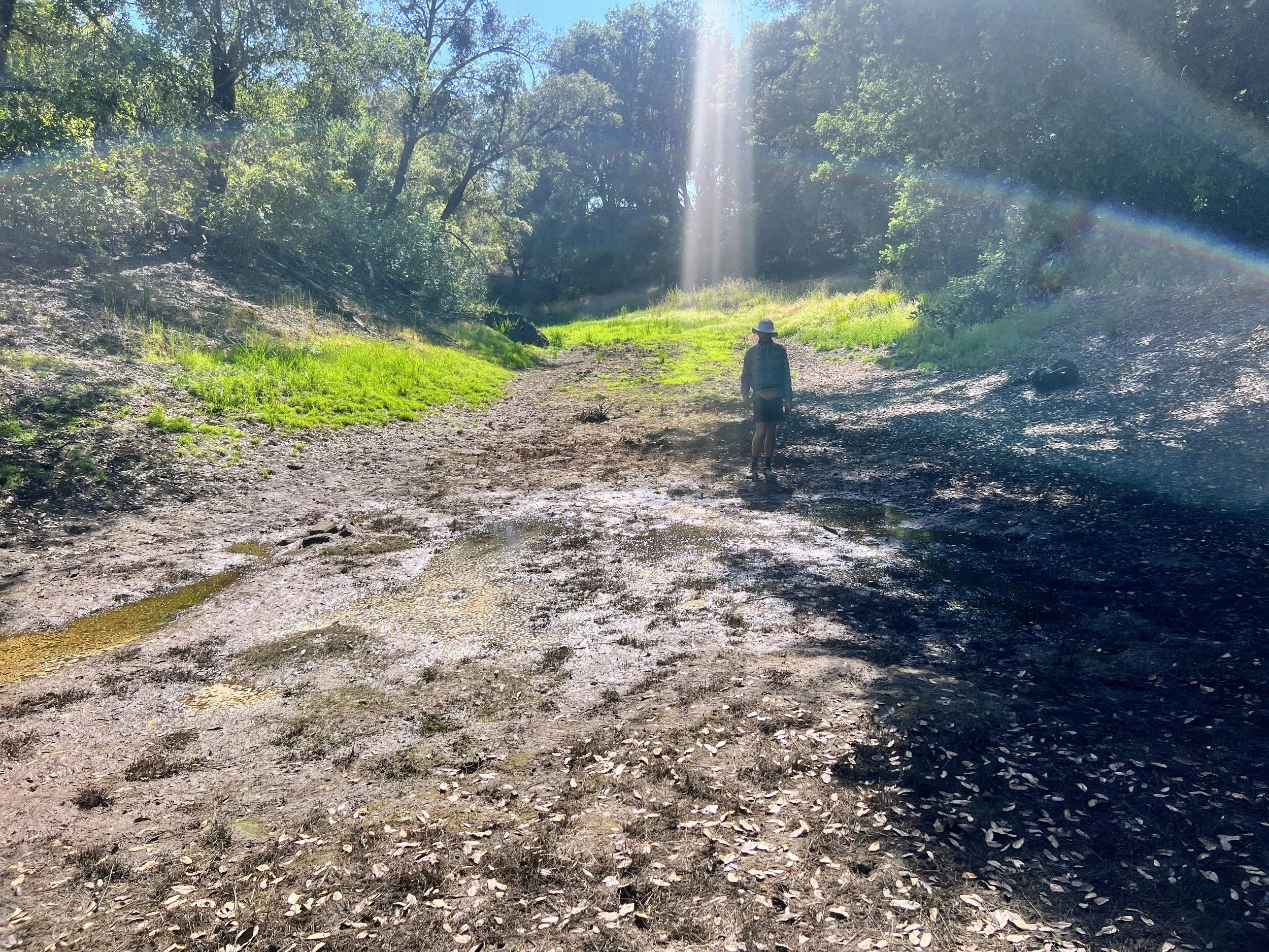
We continue along Baldwin Ranch Road until we reach Spruce Creek Trail. Thick vegetation crowds the dirt road on both sides, so dense you can’t see through it, making it clear that hiking without a maintained trail would be difficult, if not impossible. When we were looking at the map and planning our route, I naively assumed the Dutra Use Trail existed, or maybe I just wanted it to. Because of that, I didn’t do much research or worry about the condition of Spruce Creek Trail. The only beta we have is a April 2025 trip report that calls it “passable”, a word that’s already betrayed us more than once. Now it’s our only option. It’s not a long section but on the Condor Trail, distance rarely tells you how difficult something will be or how long it will take.
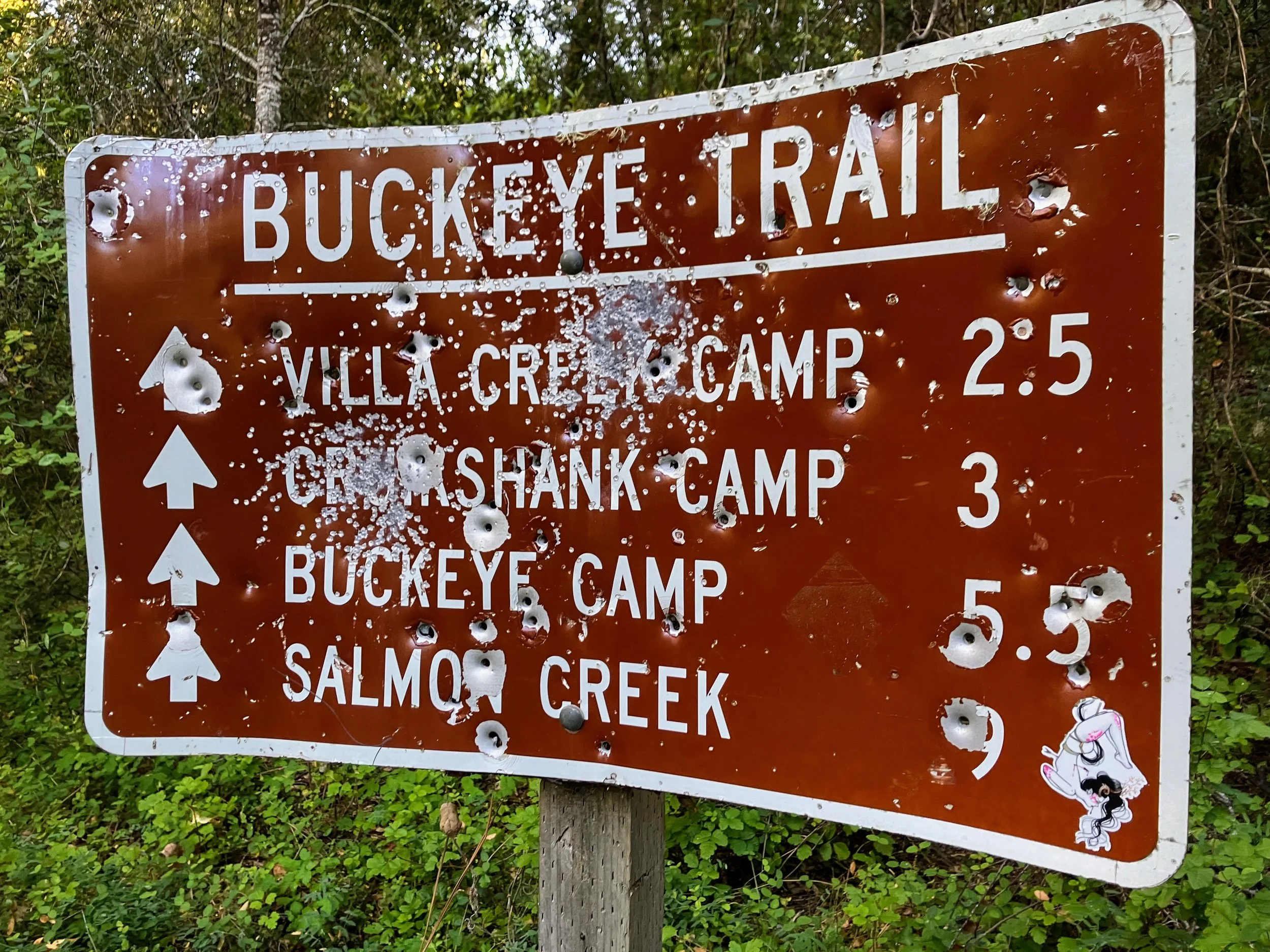
Spruce Creek Trail is a mix of grassy patches and dark, ominous corners, crossing creeks tangled with encroaching poison oak. At every twist and turn, we cross our fingers, hoping for better conditions than we had back at Buckeye Camp (still clearly traumatized from that). “Come on trail, come on trail,” we chant, fingers crossed, our mantra.

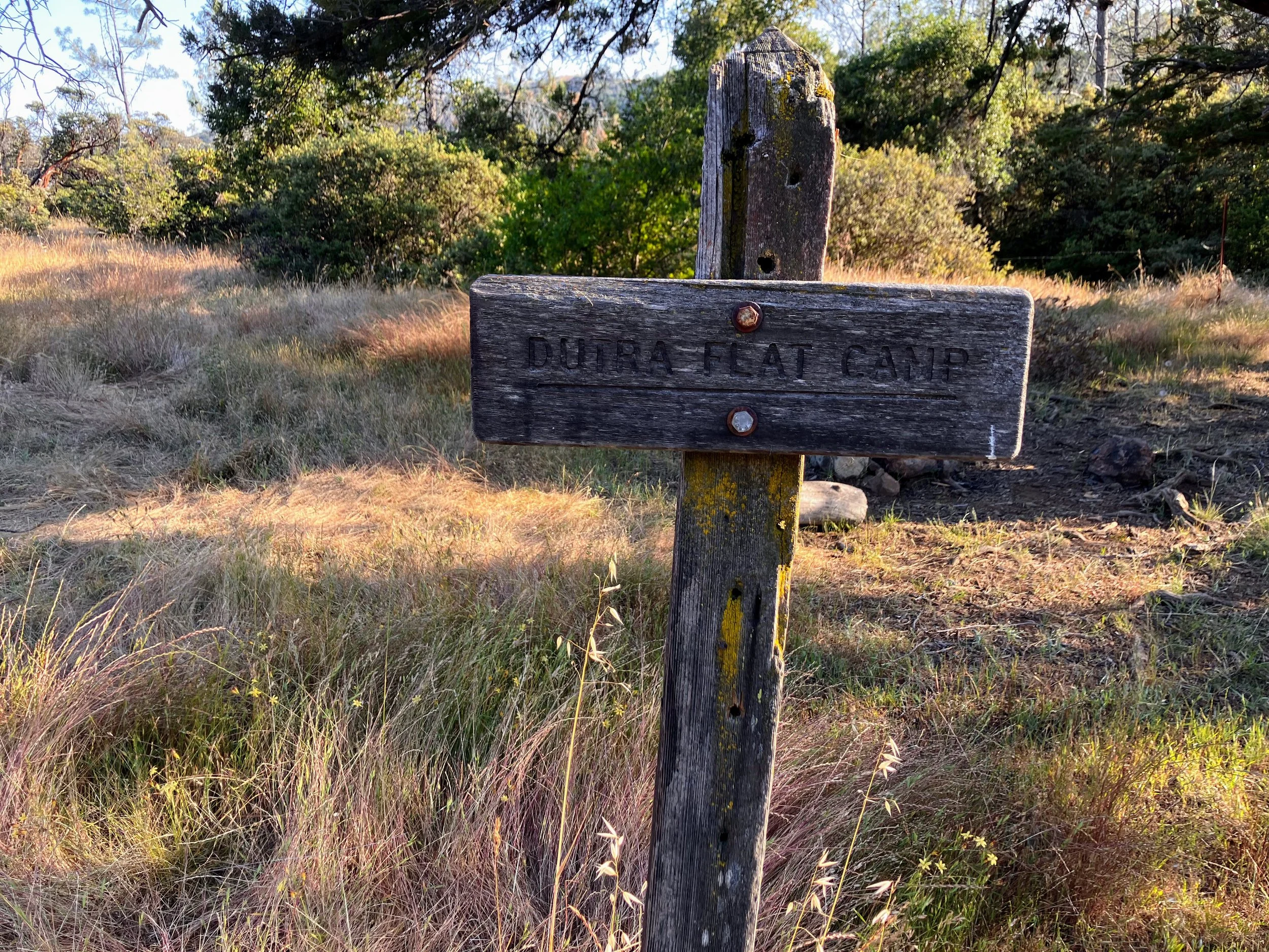
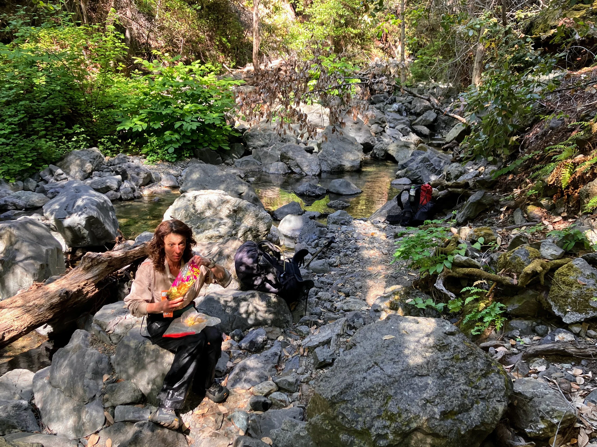
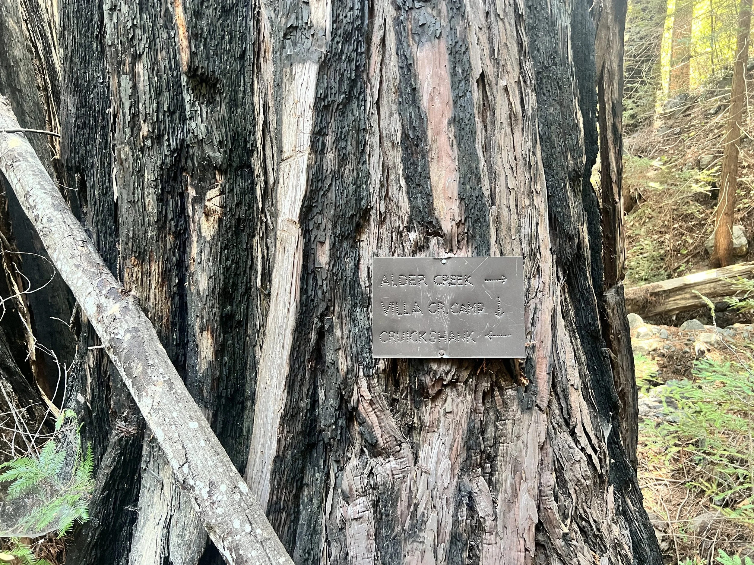
We reach Dutra Camp relatively unscathed, though our packs feel heavy and our bodies ache.
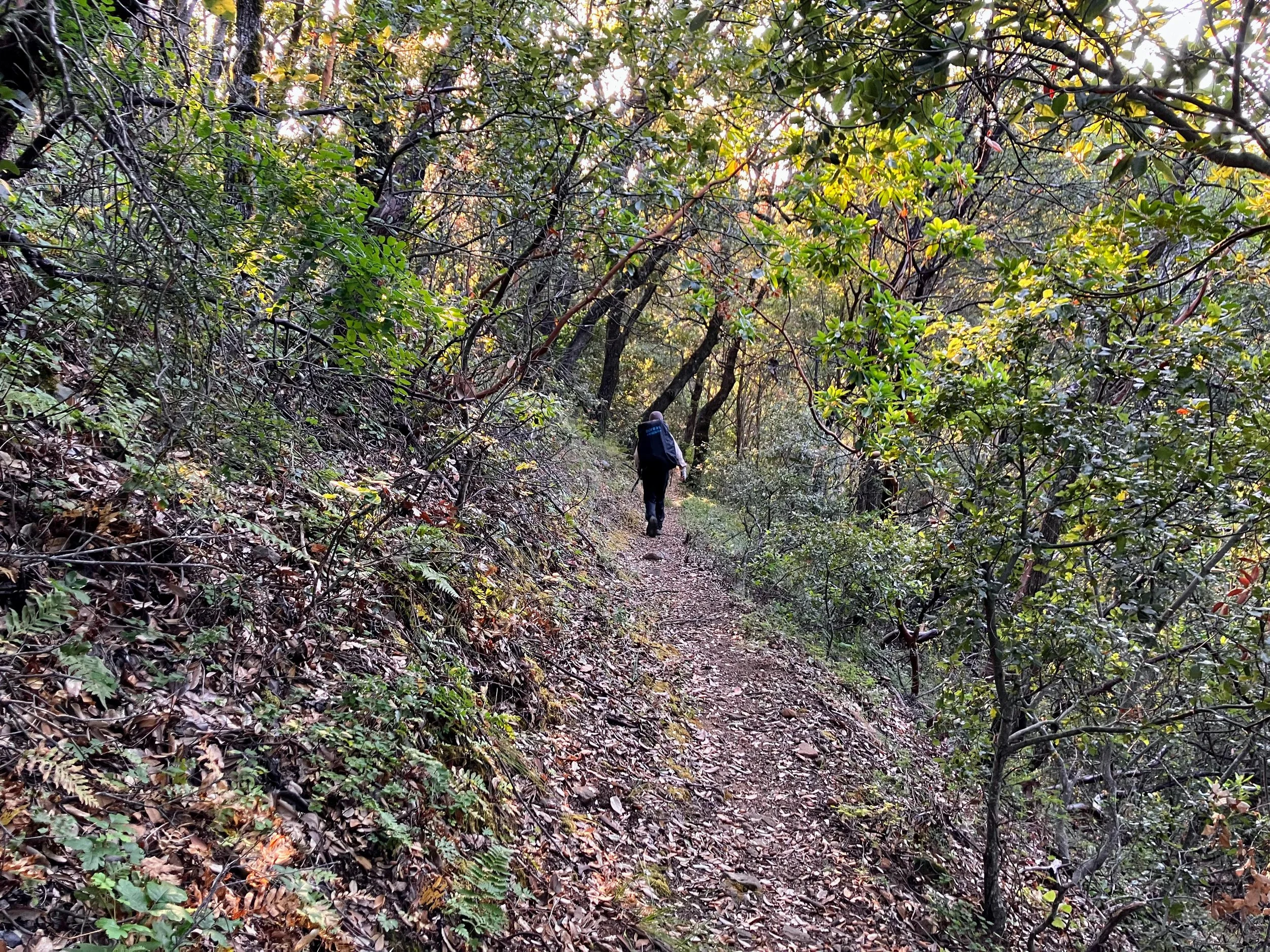
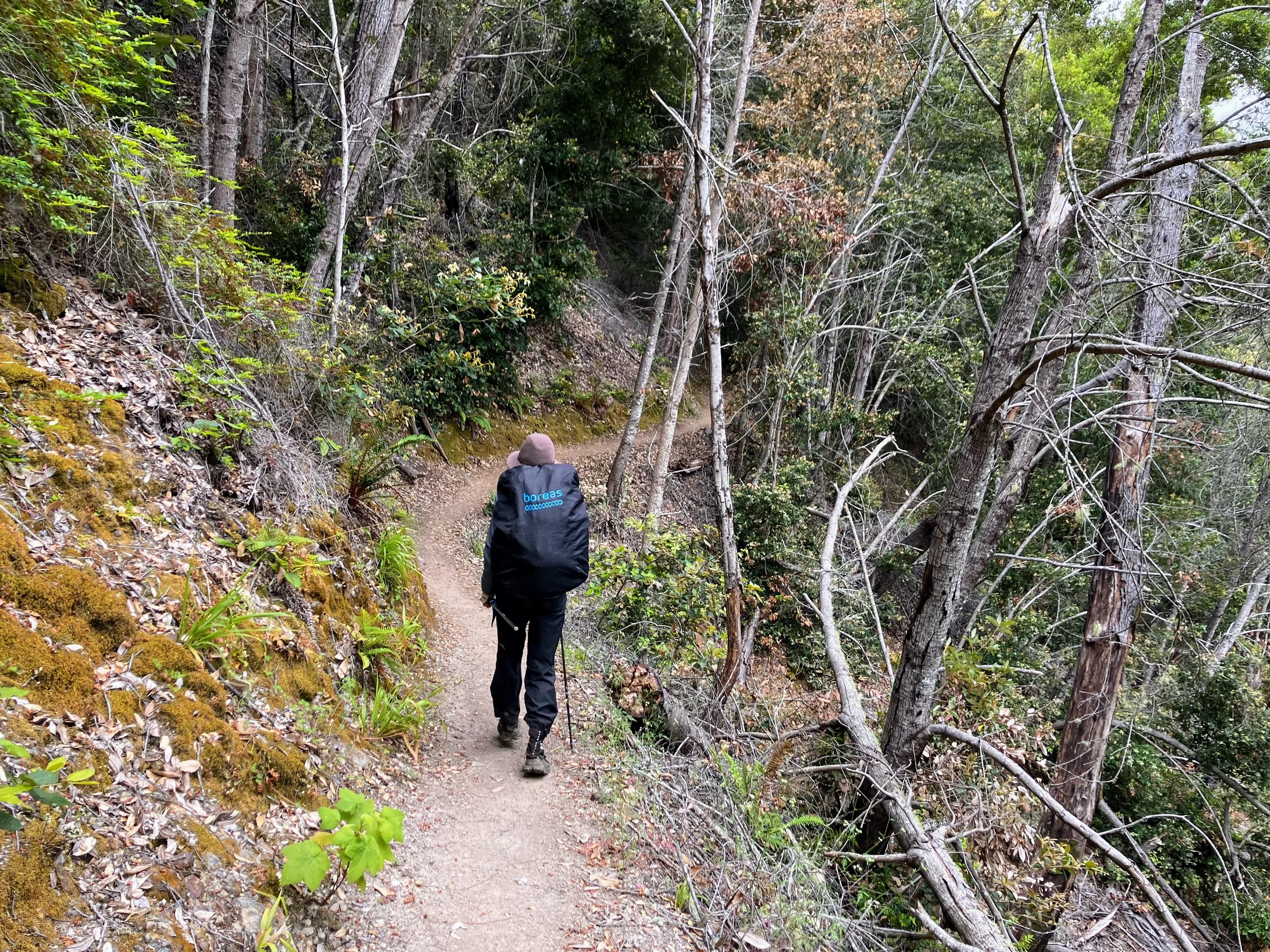
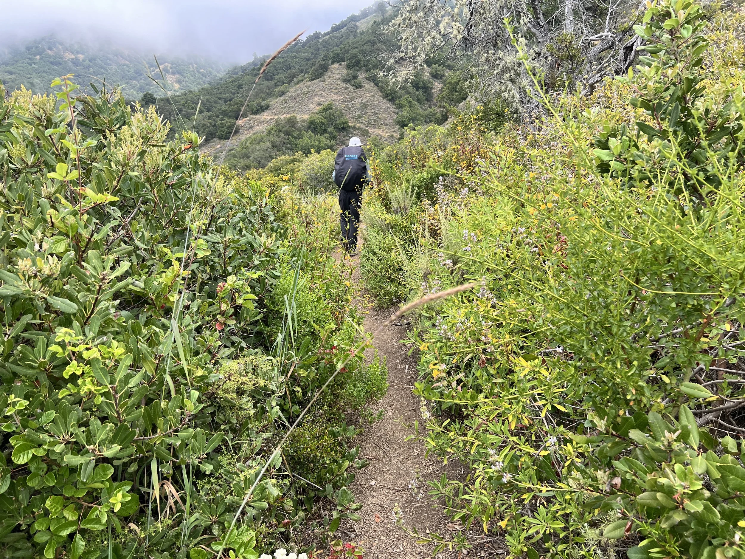
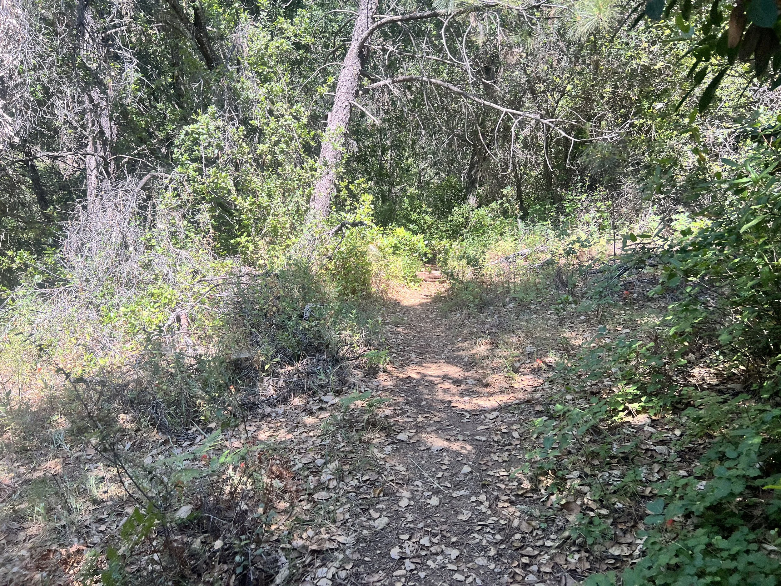
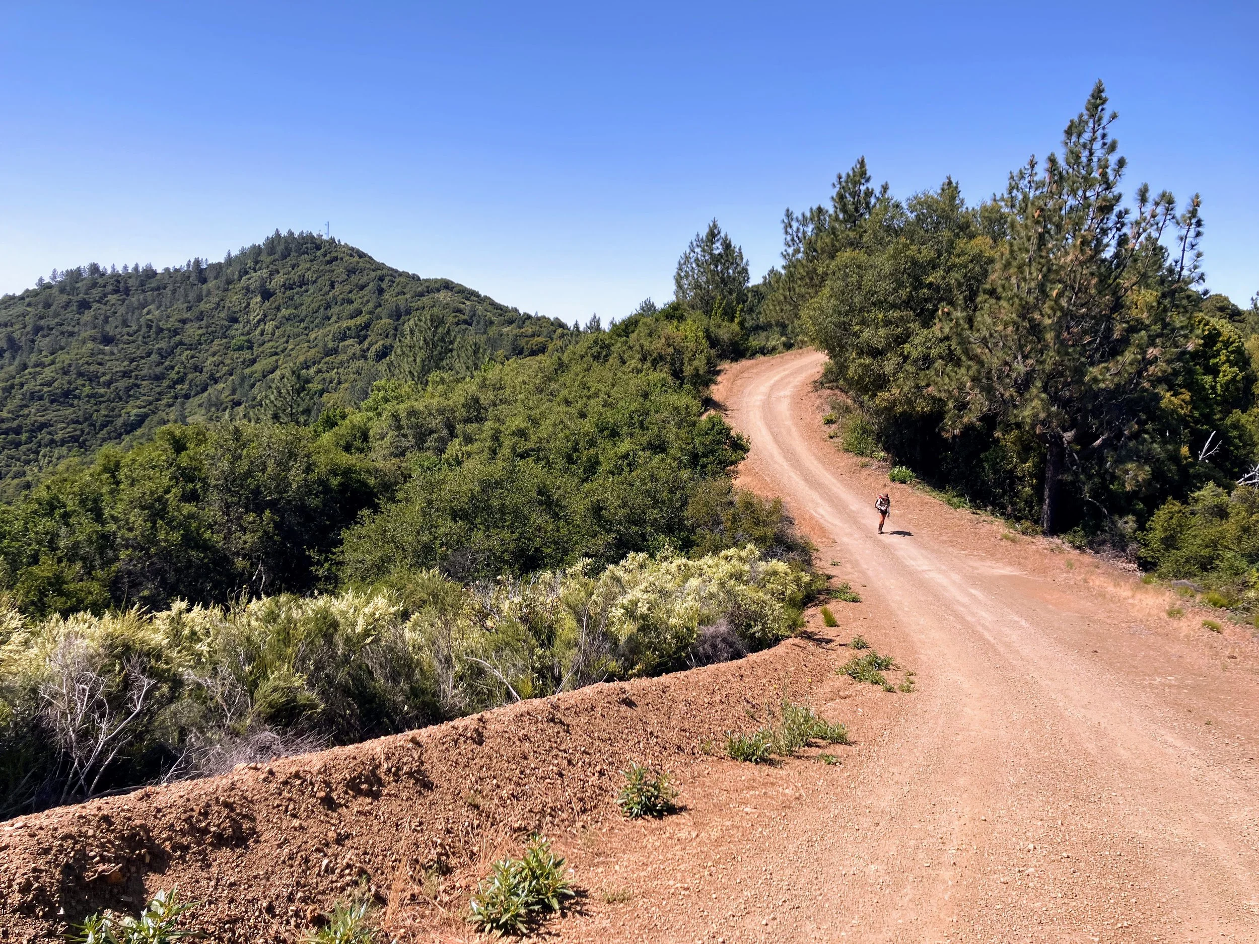
From this point forward, for the next several miles, we’re on trails marked green, or ‘in good condition’. “Green!” we shout at the single-track ahead, and it carries us swiftly toward Spruce Camp. We’re more than grateful to the Ventana Wilderness Alliance and the volunteers who come out to maintain these wild trails.
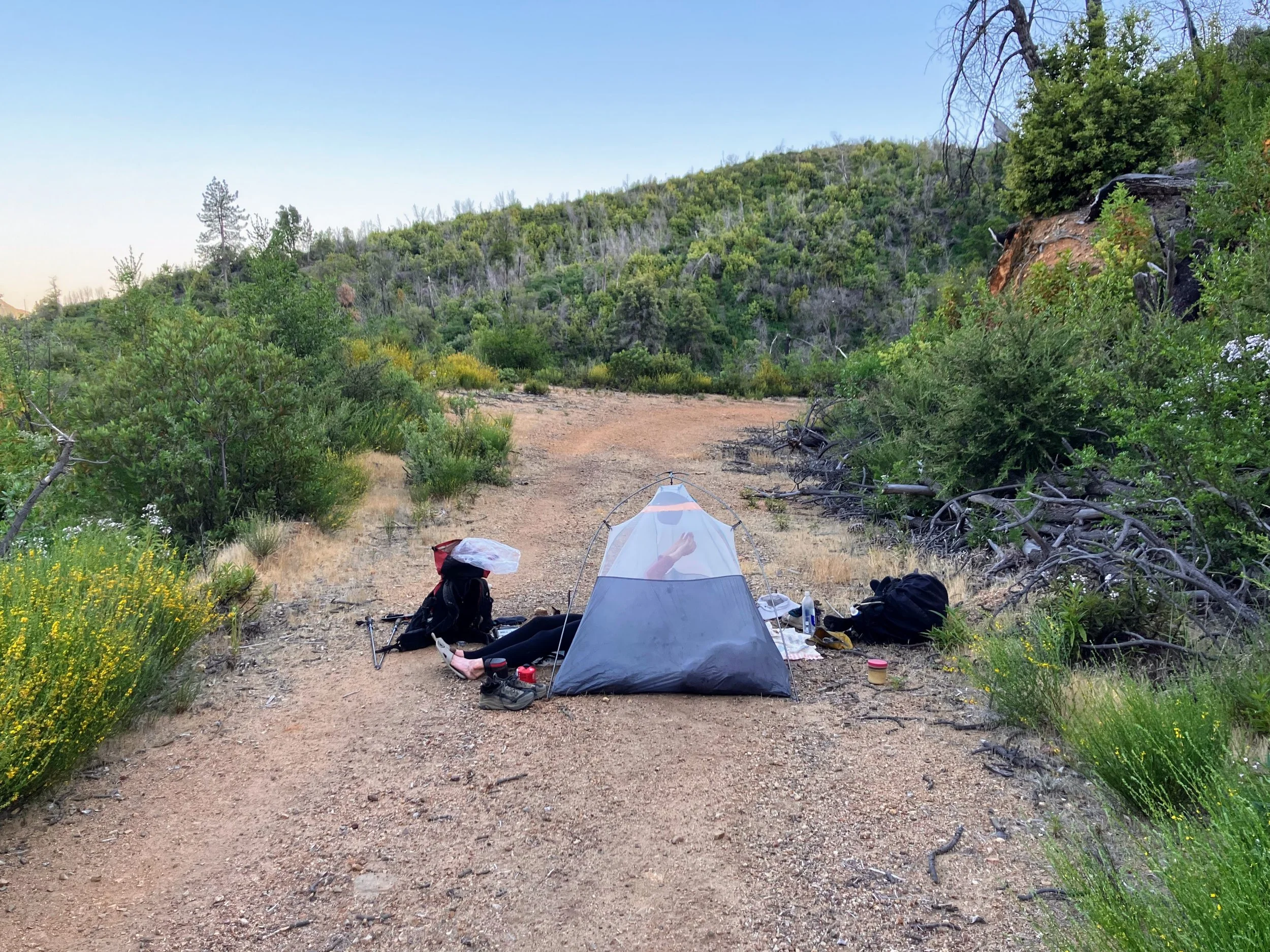
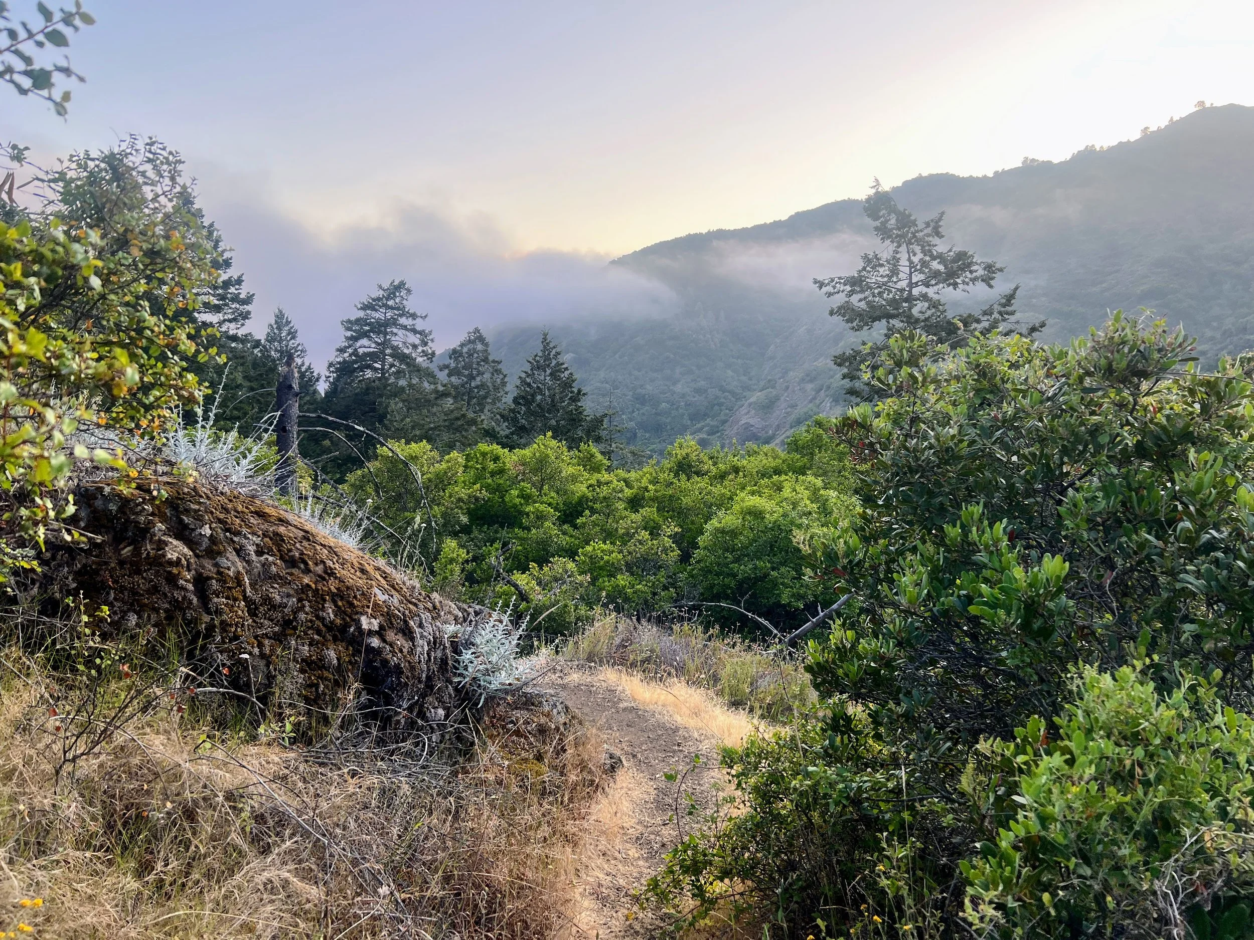
The forest glows in the sunset, a light fog rolling through the canyons. Everything is green and alive, and suddenly it feels so much easier to take in the beauty around us when the trail actually exists beneath our feet. We descend into the forest to find a picturesque and empty camp along Salmon Creek.

Day 23 | June 6, 2025
We leave Spruce Camp and continue hiking through Salmon Creek Canyon as we head west toward Highway 1 again.
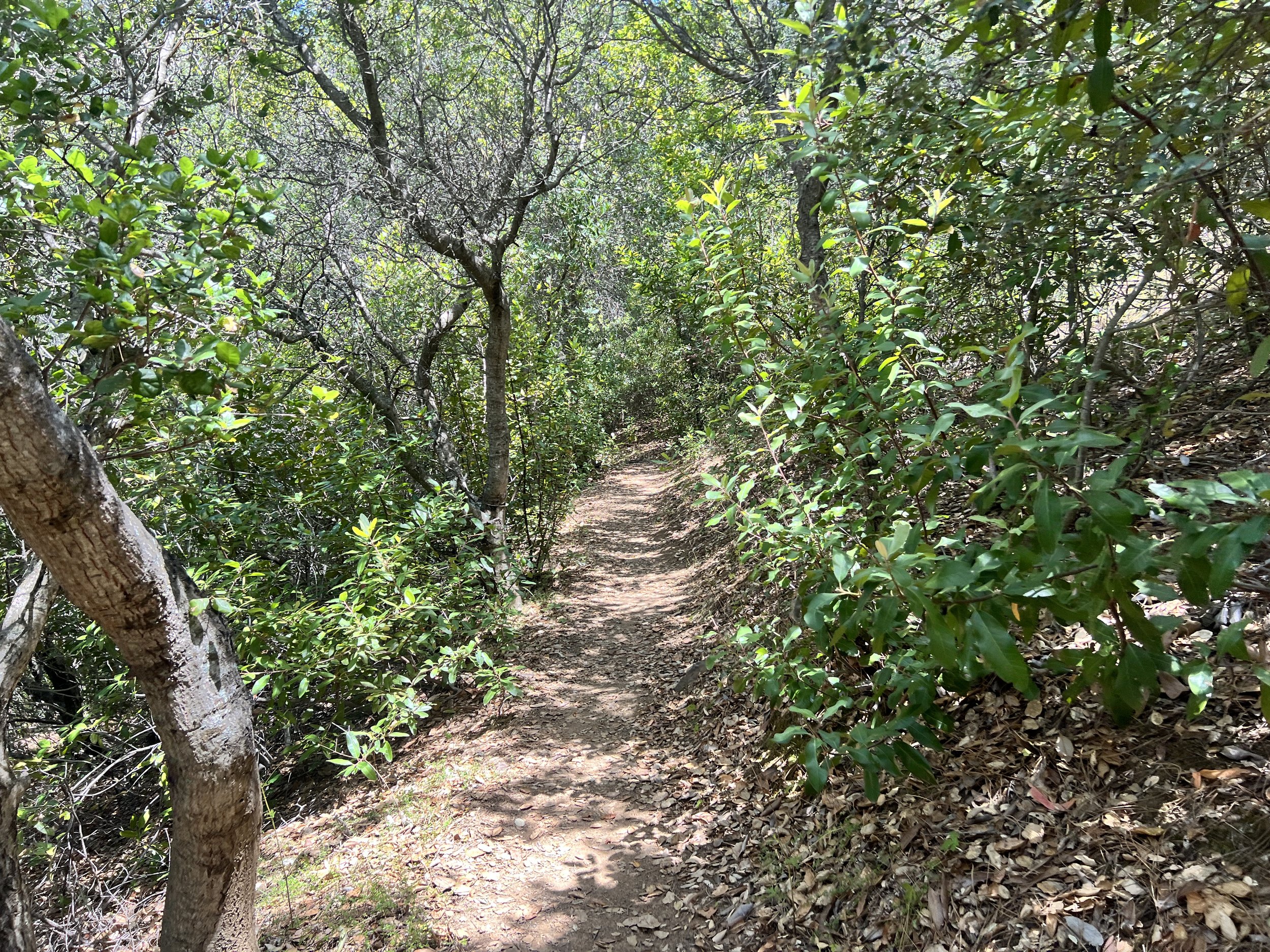
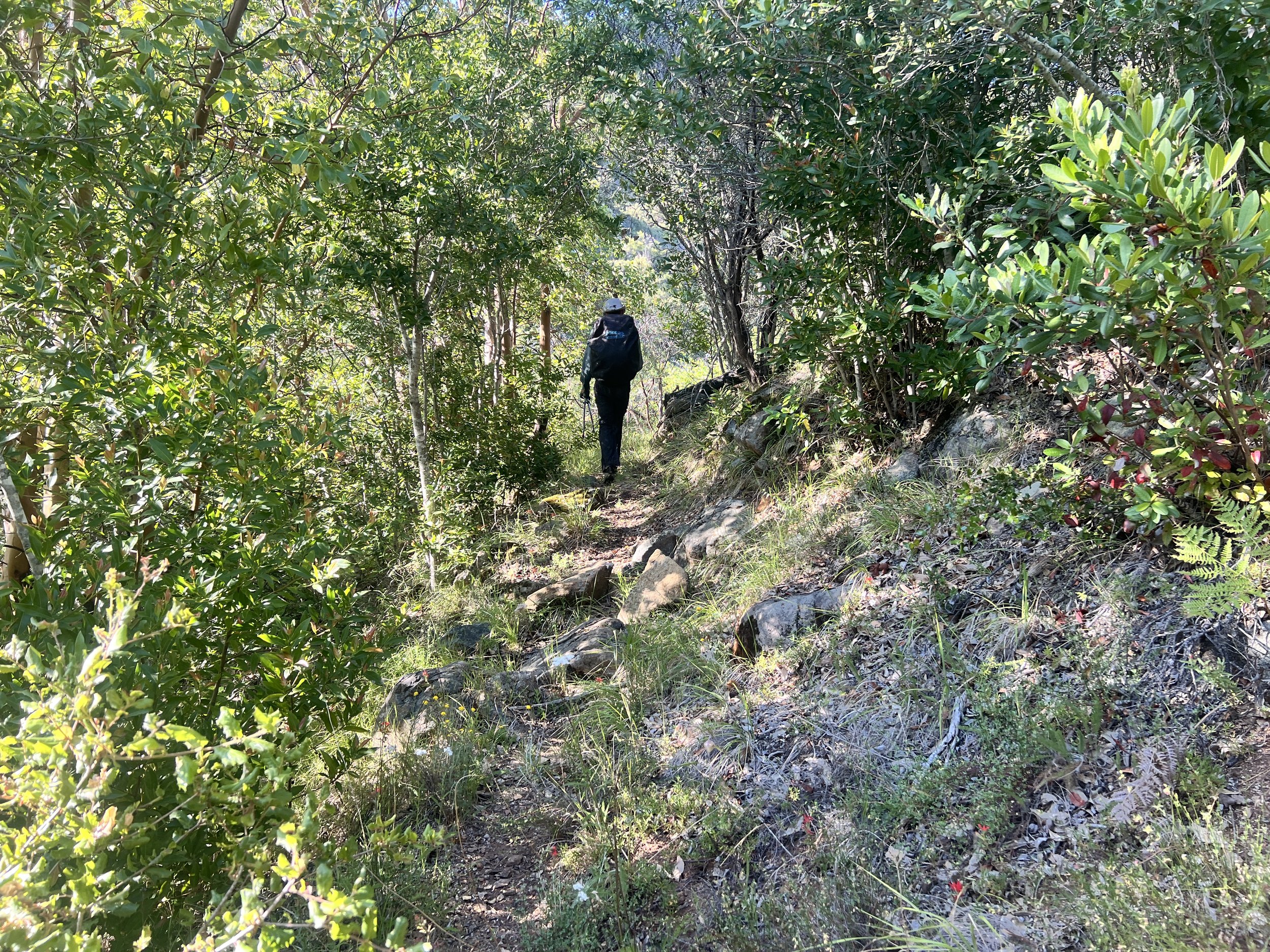
The Salmon Creek Trail is a well maintained single track, and combined with the steady flow of hikers, it feels more like a trail highway. We stop to chat with a few folks, including a man training for a High Sierra Trail trip with his son. I feel a pang of envy. I’ve never shared backpacking with my own family. My dad and brother were never into it, and sometimes I wonder if my mom would have come with me if she were still alive. It’s one of those things I’ll never get to know.
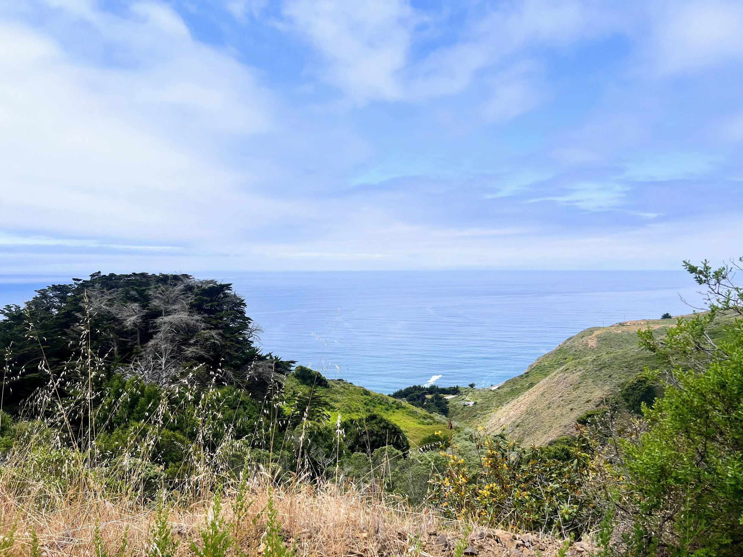
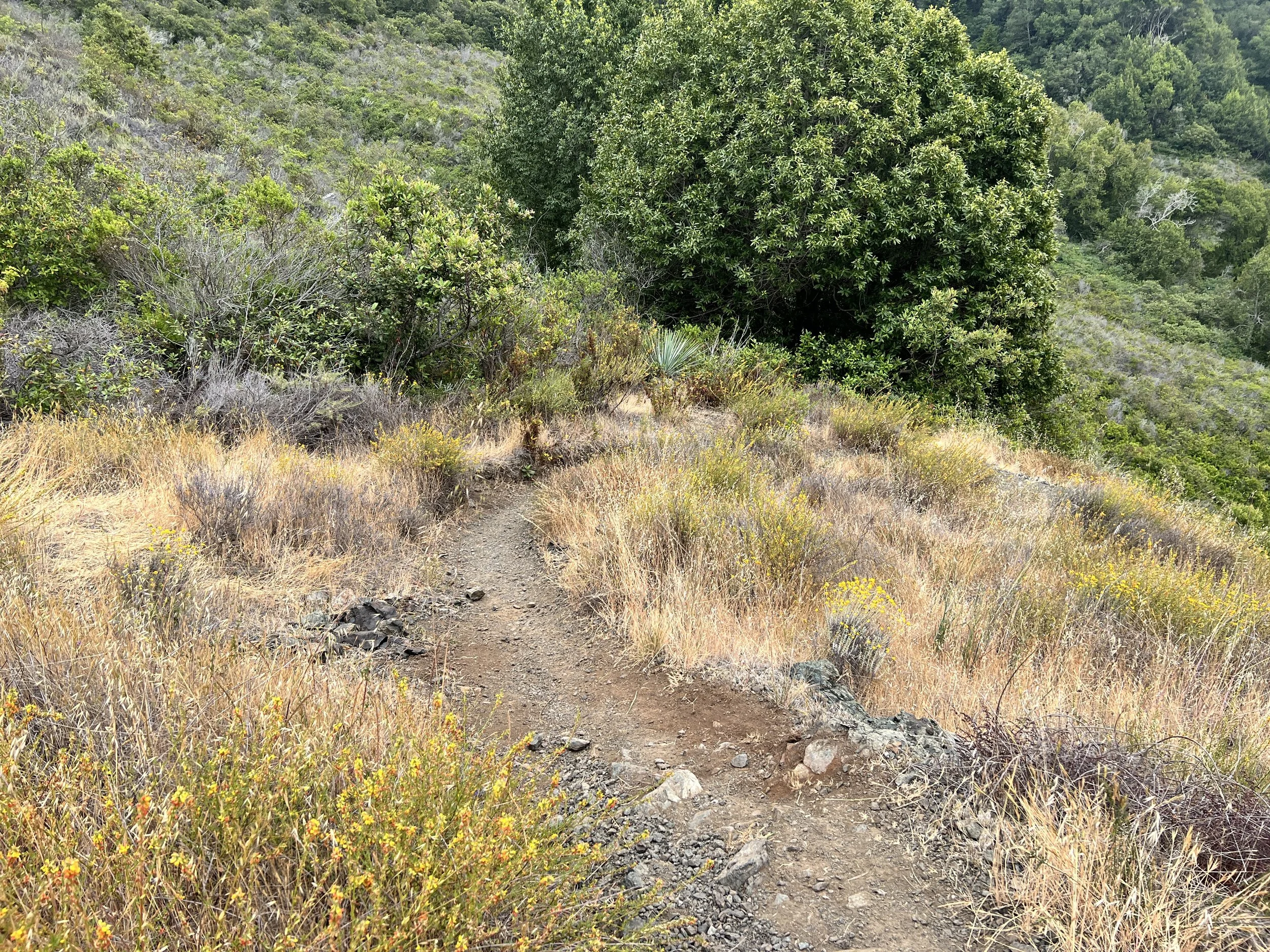
The trail cuts through dry grasses and low shrubs, dipping from exposed hillsides into pockets of shady oaks. When the canyon opens, the ocean appears in the distance in a long V-shaped slice between the green hills. The scenery is muted by the morning coastal fog, which gives everything a unique and slightly melancholic beauty.
A yucca hides in the grasses just off the path, its spiky leaves pushing up through the tangle, always ready to snag an ankle or stab a shin if you stop paying attention.
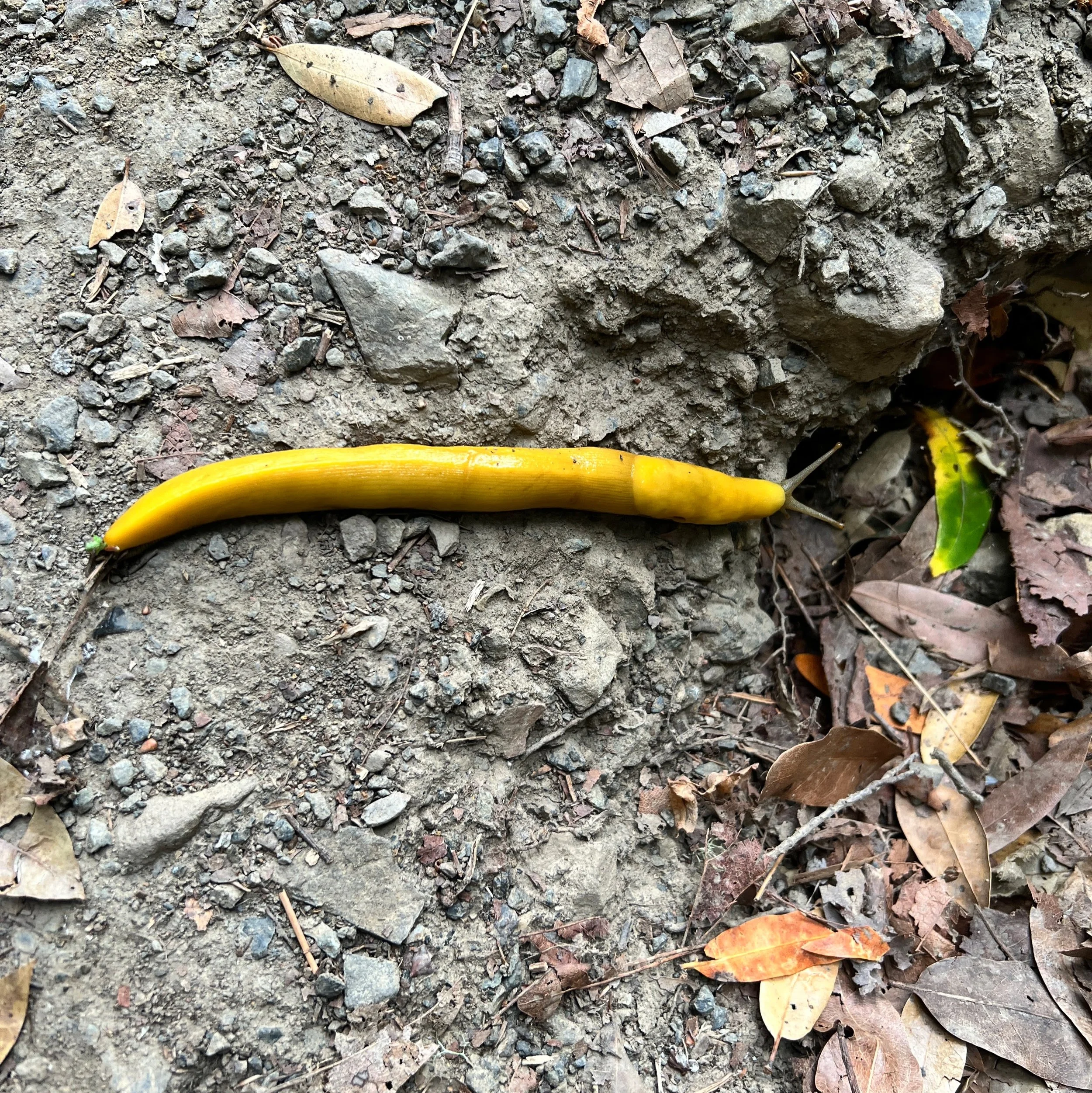
I look down and see a large banana slug glowing bright yellow on the damp soil, slow and strange against the muted browns of the forest floor.
We reach Highway 1 and pull off to the side of the road. I need to rearrange my bag and futz with my gear. A car parks nearby and a group of college-age girls pile out. A pang hits me from somewhere deep, though it is not envy this time.
Cosmo is sitting beside me, reading, patiently waiting for me to get my gear together. My stuff is still scattered everywhere. I glance over and give him a small, sheepish smile.
“What is it?” he asks.
“I have to poop.”
I wait for the girls to head down the trail, then start hunting for a spot. Finding privacy off a highway is nearly impossible. Cars keep passing, people keep passing, and every potential place to dig seems to come with a patch of poison oak right where I would need to squat.
It ends up being a rushed job, not ideal or relaxing but I get the job done.
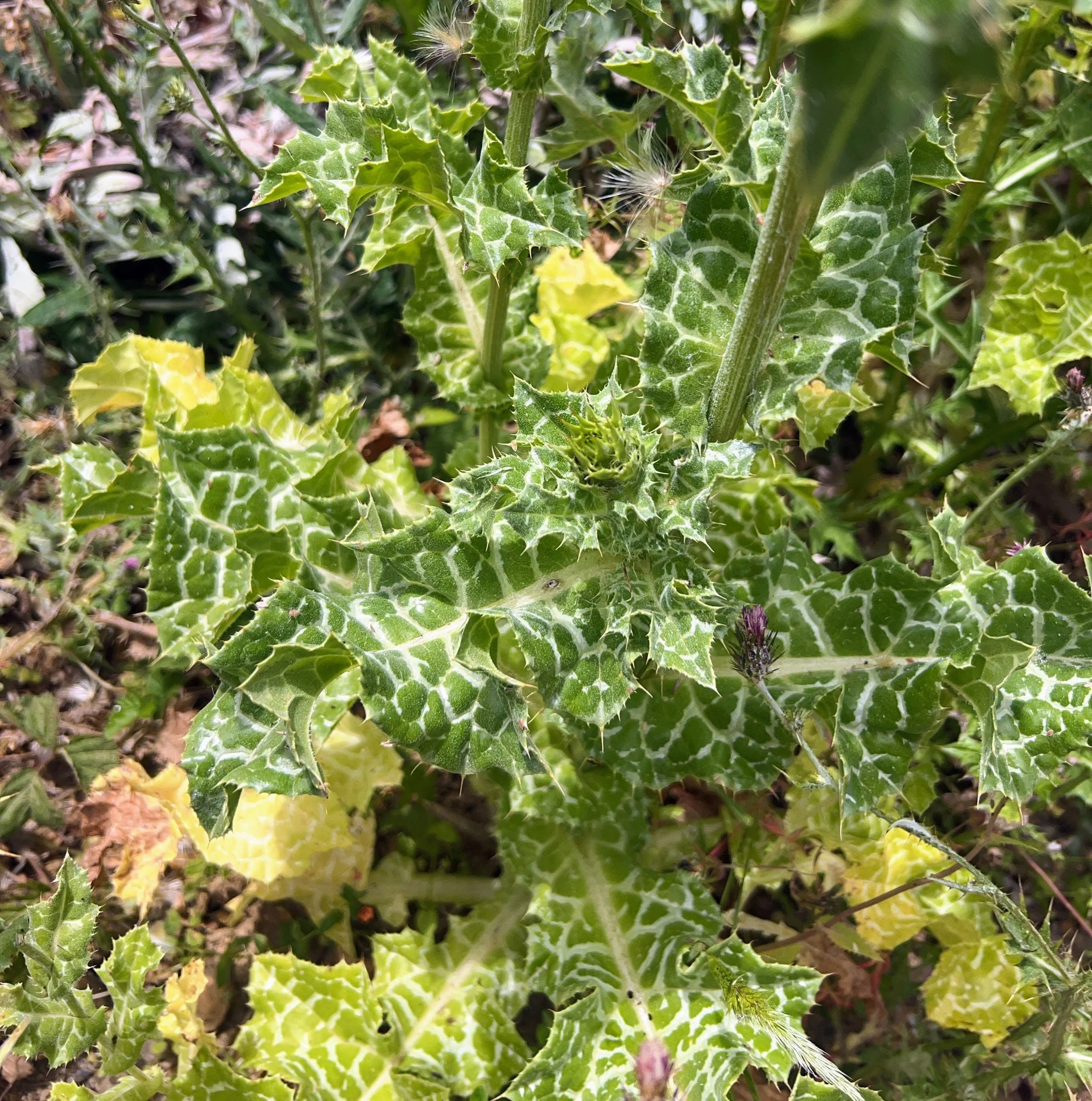
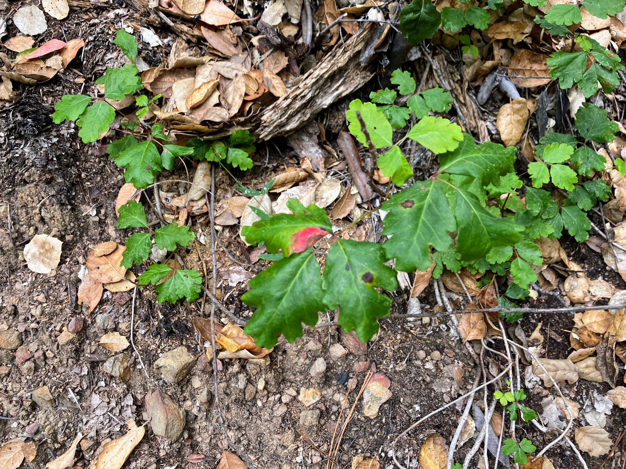
We leave Highway 1 and head onto the Buckeye Trail. I look down and immediately see poison oak creeping onto the narrow path. It brushes my bare legs. I panic and dump all my water onto my skin and pull my rain pants on over my shorts, even though the damage is probably done. Now I’m out of water.
The ocean comes into view and I’m struck by how loud the waves sound, a constant crashing roar. I finish The Four Winds audiobook as we climb. The trail continues through patches of flowers and shrubs: monkeyflower, black sage, toyon, and of course the poison oak lurking in the mix. For a while the trail is well maintained with open views of the ocean. It feels good to move.
As we near Alder Creek Camp the brush thickens again and the poison oak closes in. There is no avoiding it. Time suddenly matters. Our plan was to hike farther, but by the time we reach Alder Creek we know we need to stop and clean up immediately.
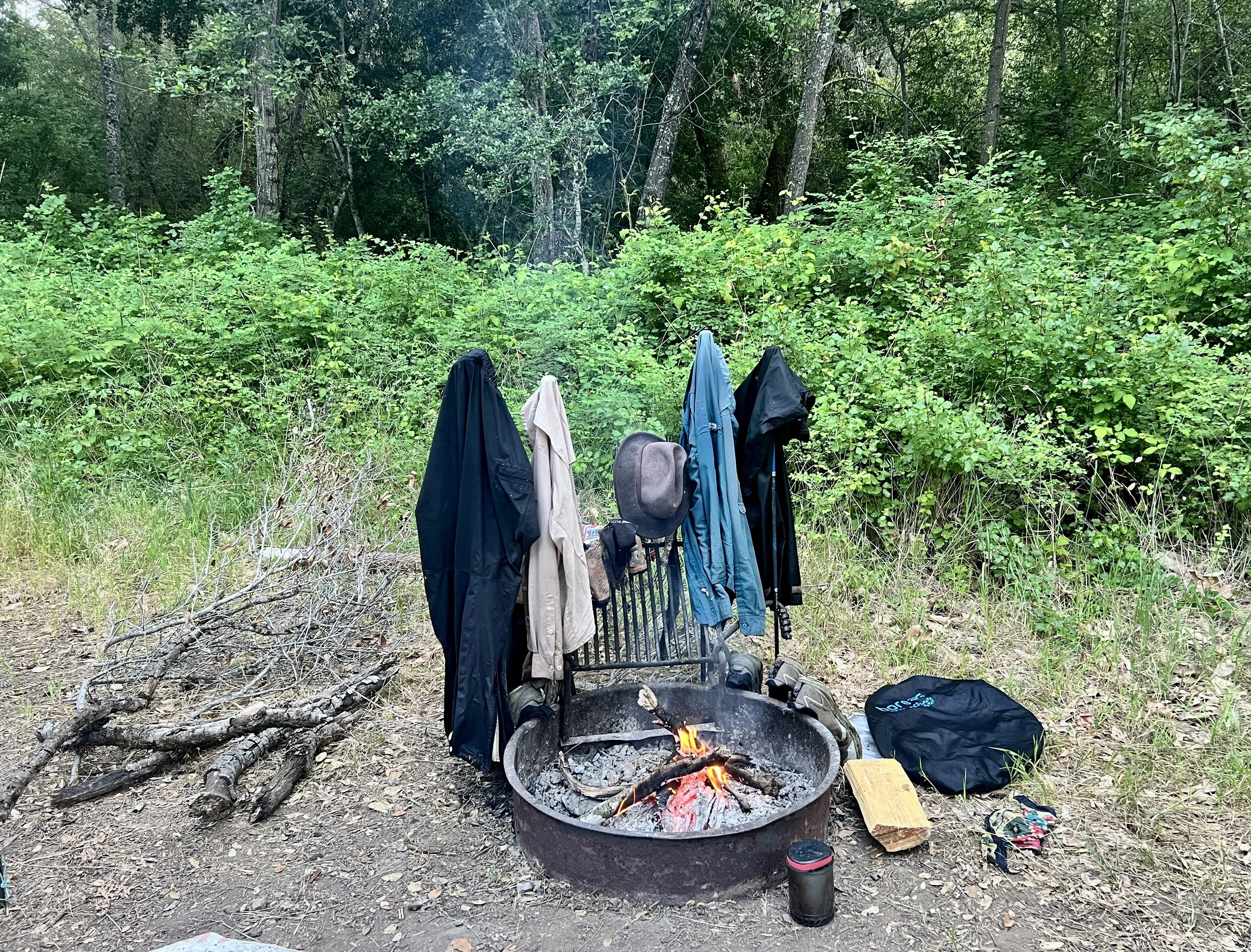
We wash in brackish water with Tecnu, scrubbing off what we can. Then we set up camp and light a small fire in the ring.
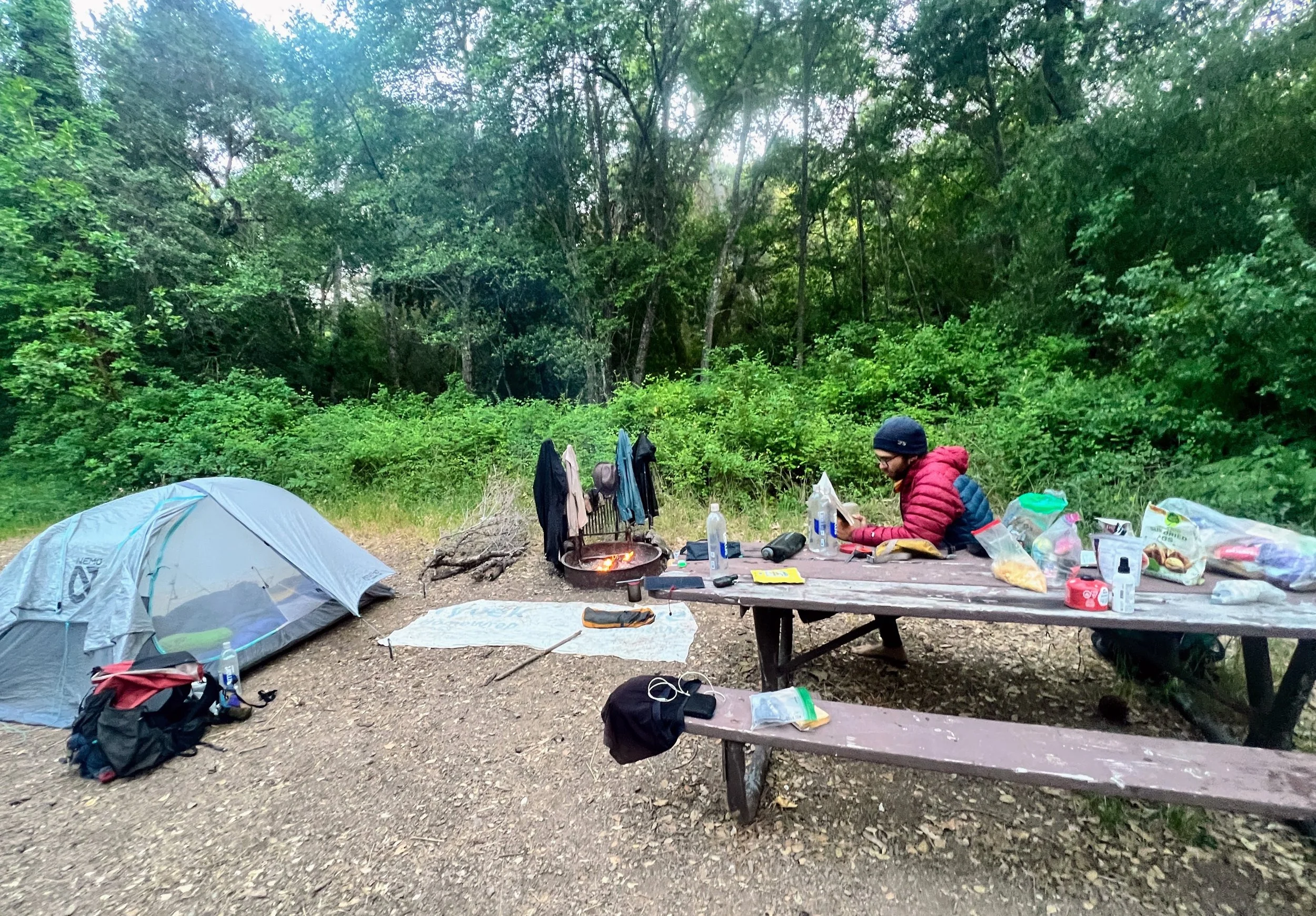
We end the day early, and the unexpected free evening feels like a gift. We read, work on crosswords, and look over maps for the next section.
Later, lying in the tent, the forest fills with owl calls, first a great horned, then a spotted. I laugh to myself. They should just call this the Owl Trail.
Day 24 | June 7, 2025
My thighs and back itch from yesterday’s poison oak.
Water is a concern for the next section. Many of the springs ahead are seasonal and unreliable. At Alder Creek Camp, we fill up, each carrying about four liters. We plan to leave the Condor Trail here to take our own alternate and avoid a bushwhack, but without reliable water information for this stretch, the uncertainty feels even greater. We estimate the next possible source is around seventeen miles away.
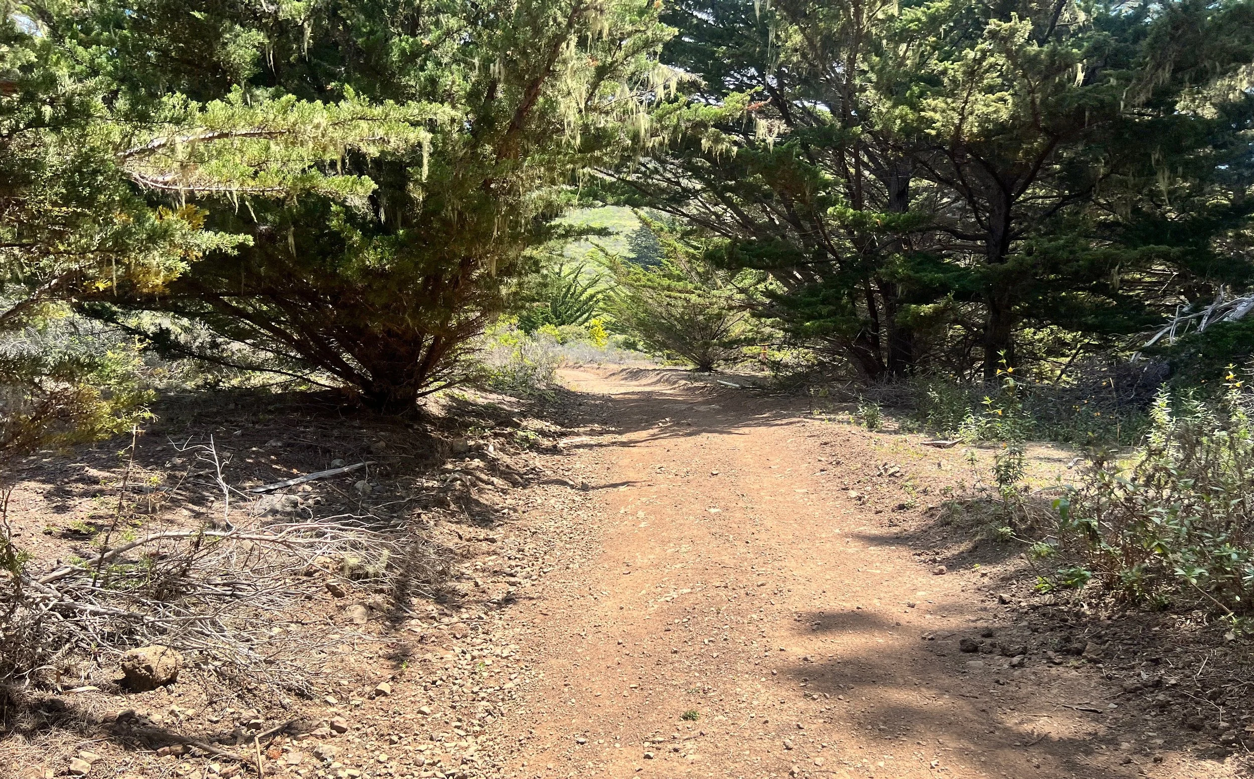
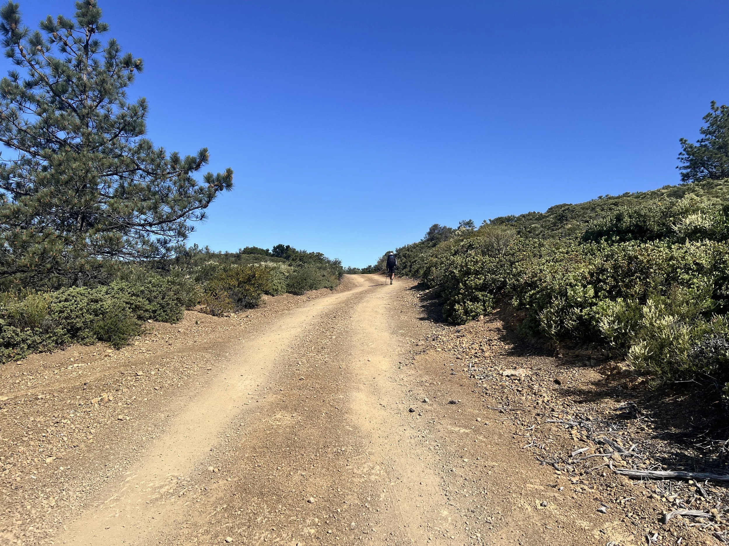
It’s 8:30 a.m. and the sun is already strong. We begin with a steep, exposed climb up a dirt road. It feels good to move at a steady hiking pace for once, thanks to the wide, clear tread.
I stop, squinting at a long dark line ahead, stick or snake? Suddenly, we hear the sprinkler sound and jump back. It freezes mid-slither, then coils up fast, head lifted in strike position.
We’ve passed plenty of rattlesnakes before, but I’ve never seen one go from stretched out to coiled like that. It looks furious. We freeze, hoping it’ll move off the road, but it holds its ground.
Cosmo goes first, slowly edging around it. The road is wide, which helps, but it still feels way too close. Once he’s clear, it’s my turn. I inch past with my hiking pole held out like a weapon, even though I know it wouldn’t do much. I make it to the other side, heart racing.
We pass two springs, neither of which have water.
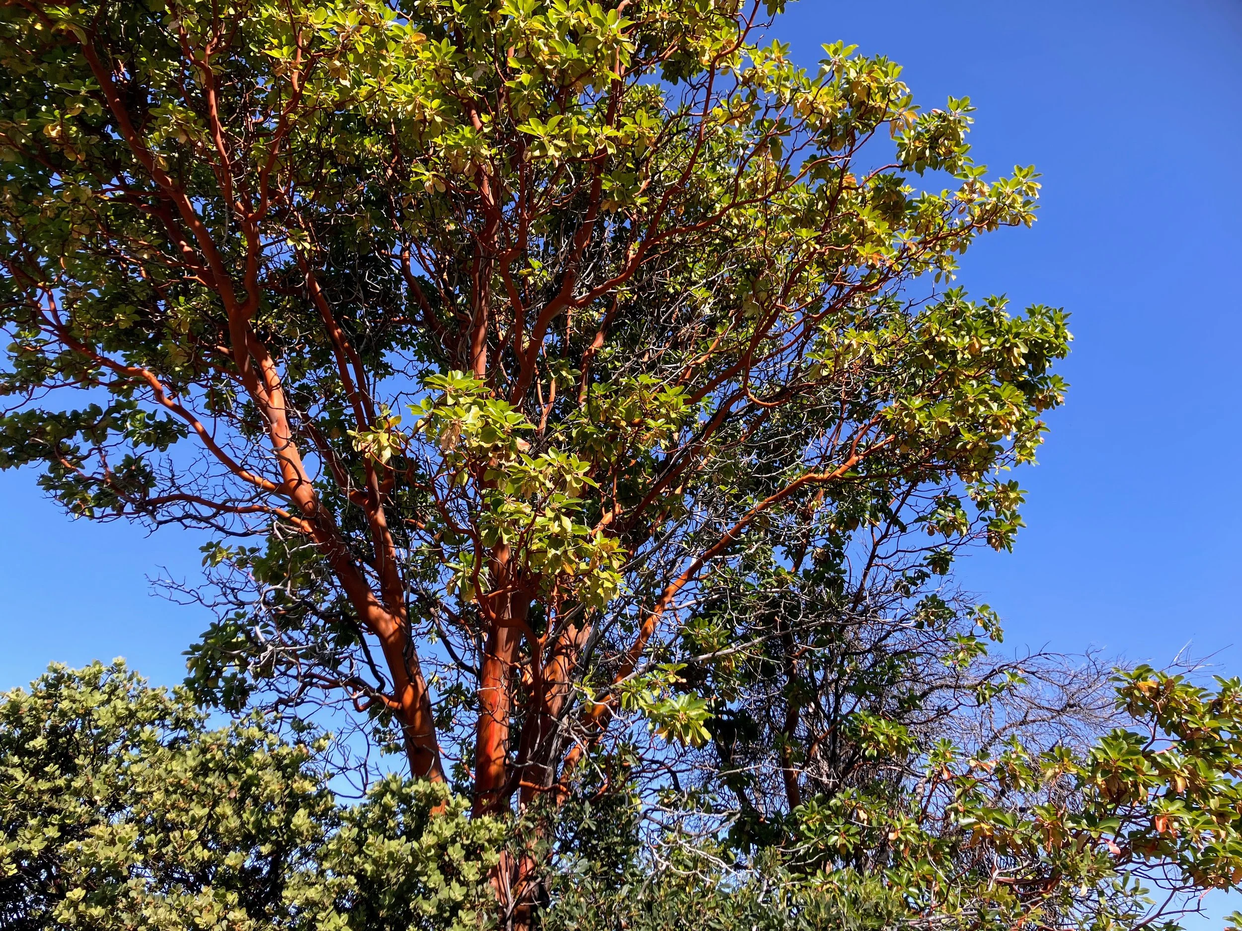
We keep moving through groves of Pacific madrones, their trunks smooth and red like polished clay, bark curling in thin strips. Sunlight filters through the leaves, some deep green, others fading to orange or yellow.
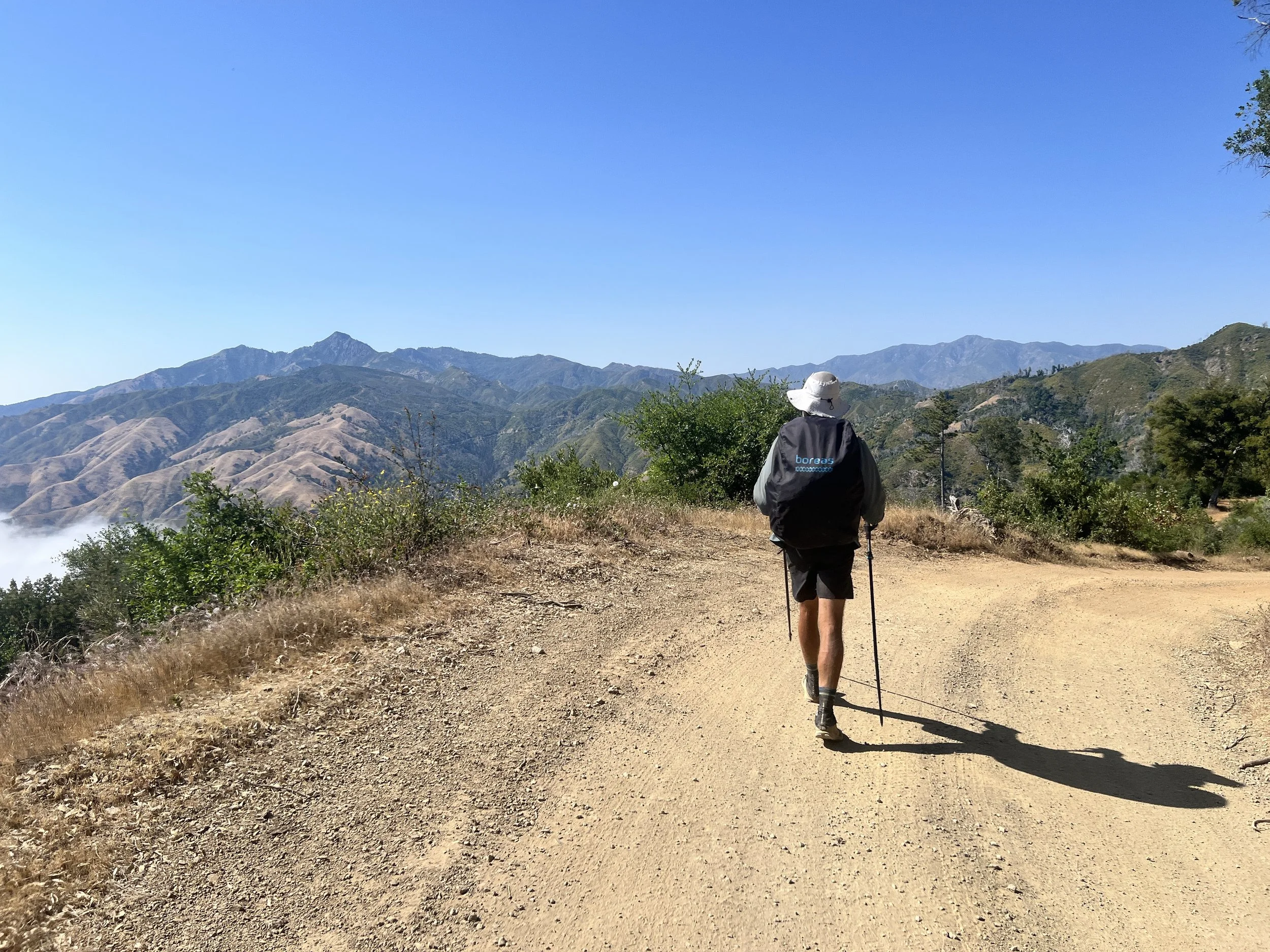
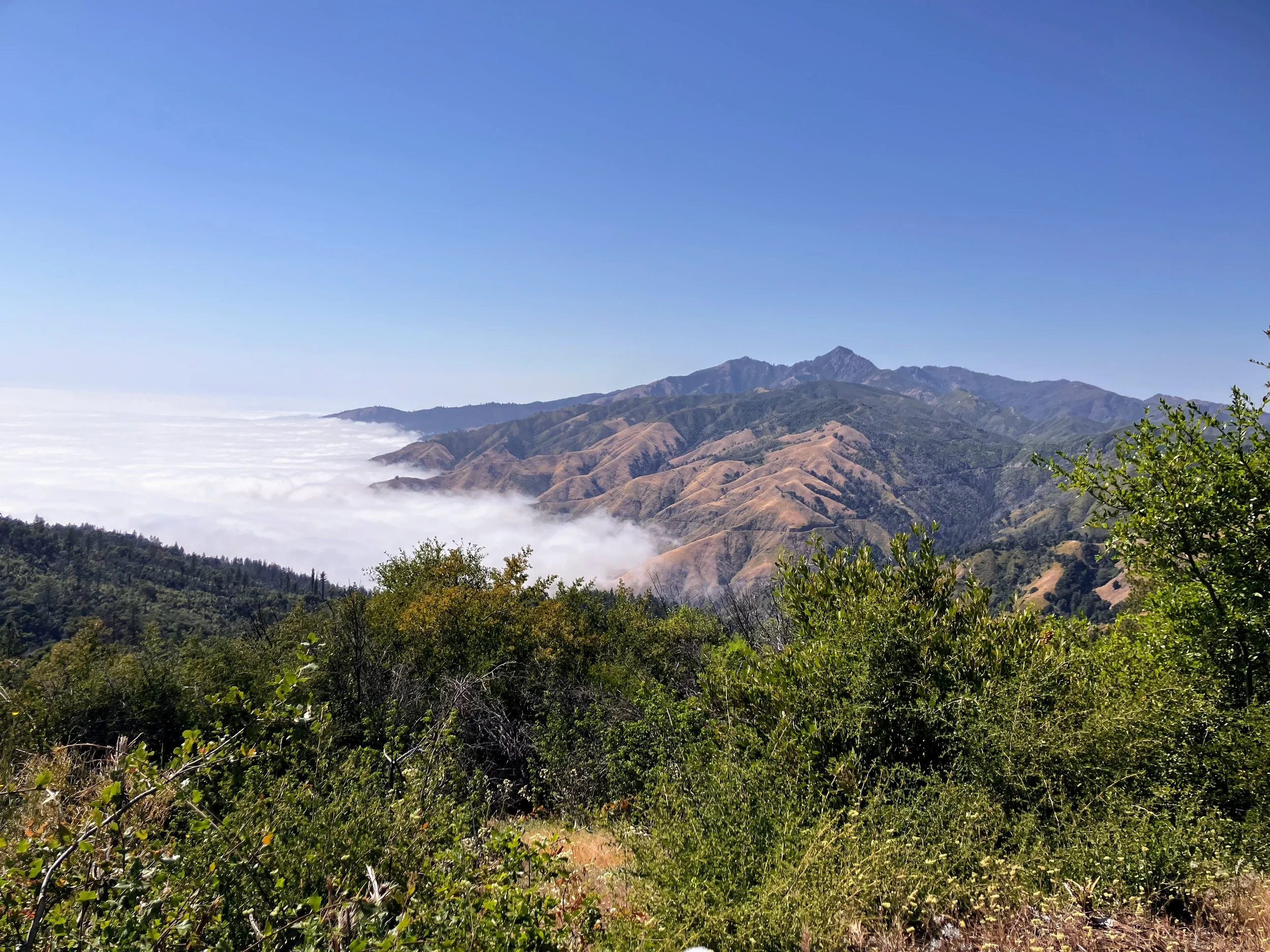
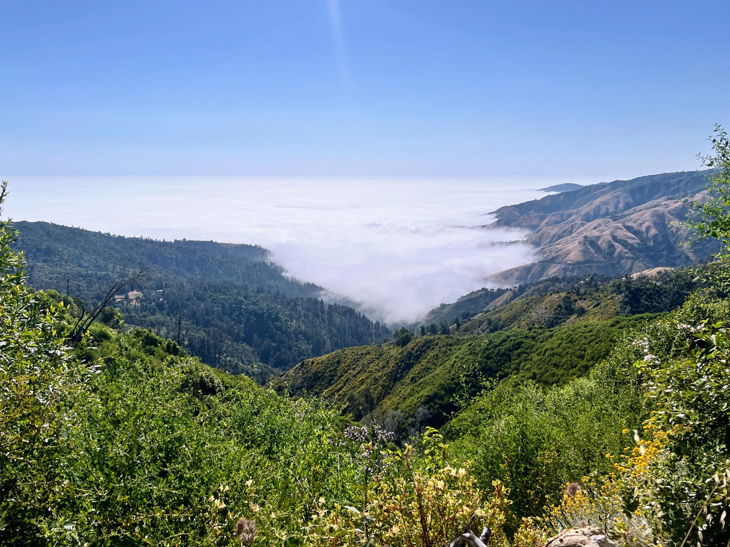
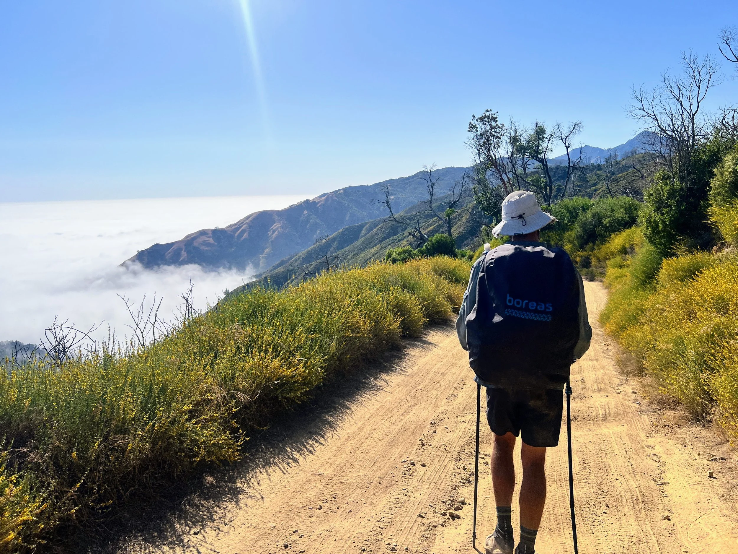
Far below, a thick layer of fog covers the ocean. It spills into the canyons like slow-moving smoke. Up here on the ridge, we’re in full sun, the heat broken now and then by a breeze rising from the coast.
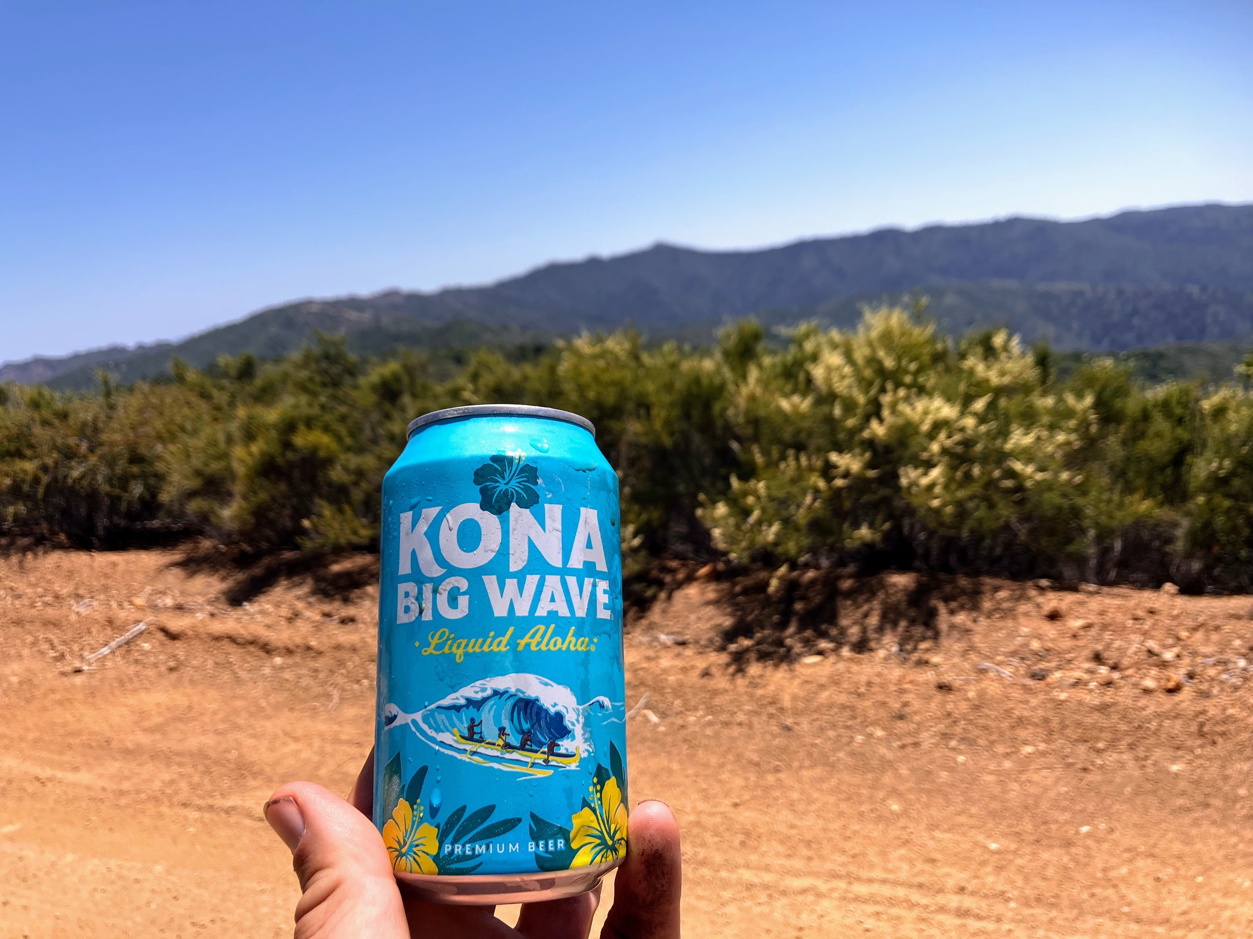
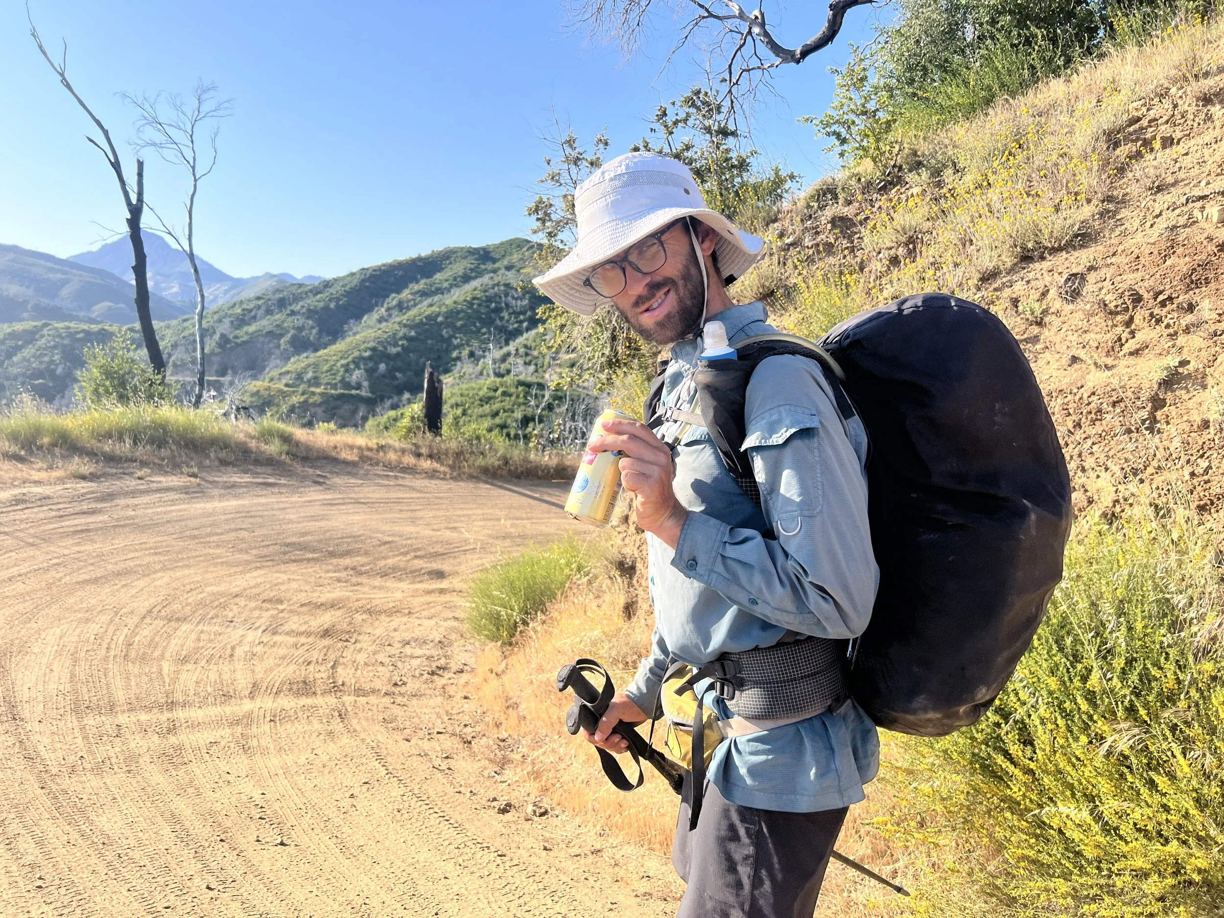
A car drives by, window rolled down. The driver slows, looks at both Cosmo and me, and says, “Want a cold beer?”
We’re hot, thirsty, low on water and not expecting anything but the usual silence of a backroad. So yes, absolutely yes.
He hands us two ice-cold cans, smiles, and says, “Have a good weekend,” then drives off.
We stand there stunned, grinning.
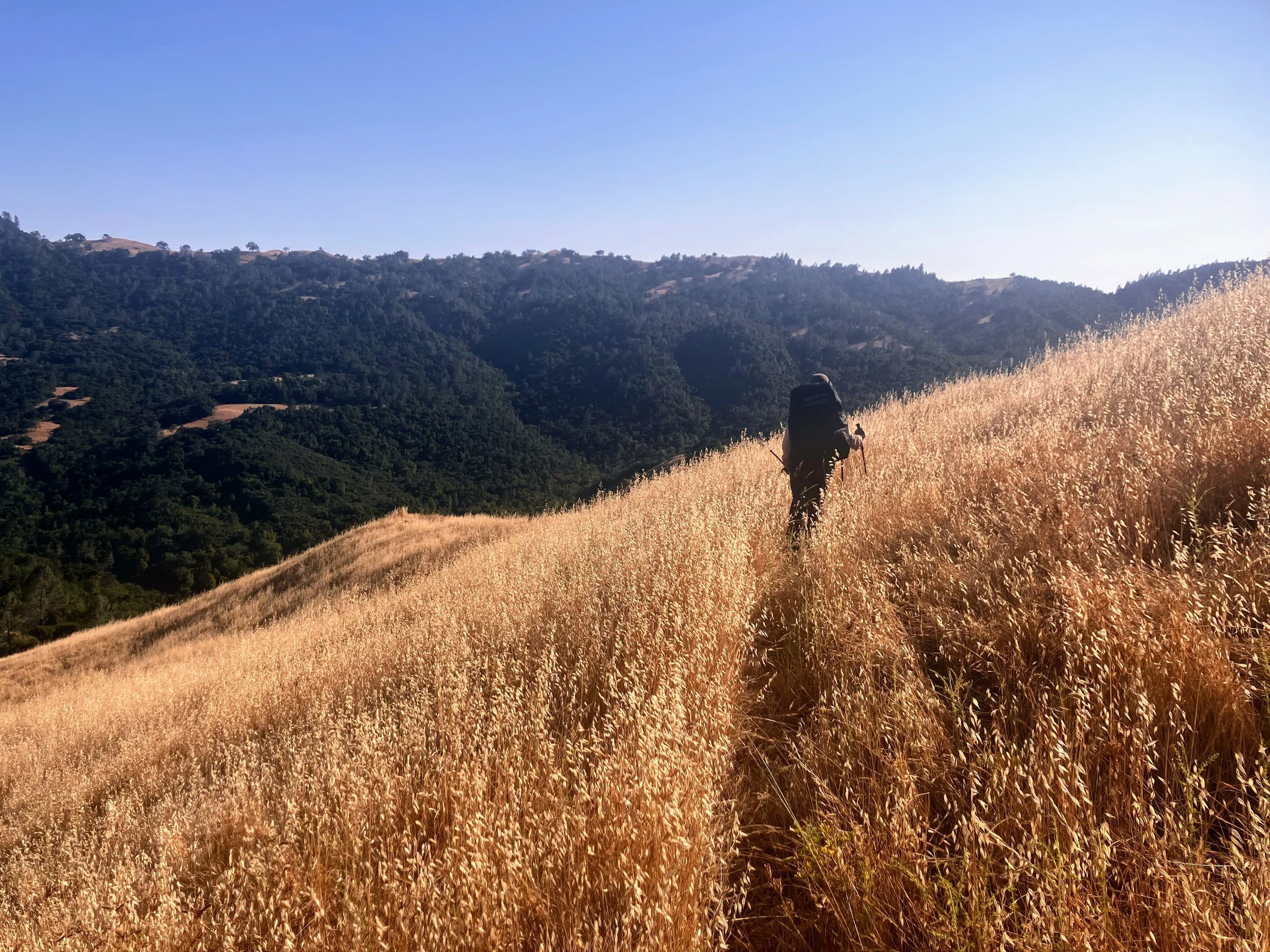
Our alternate route has been smooth so far, clear ridgelines, passable terrain.
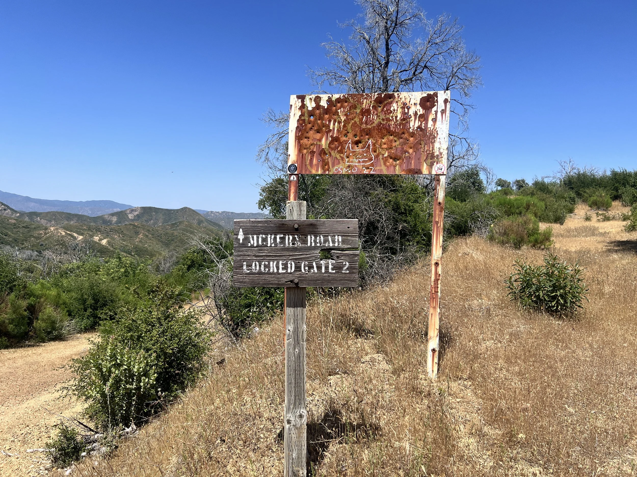
We reach the junction where Willow Canyon Trail climbs up to meet the road, where we would’ve come up if we’d stayed on the official Condor Route. I pause, second-guessing. I feel a little guilty for liking the dirt road. It feels like cheating. Did we take the easy way out? What if we bailed too soon?
I check the Big Sur Trail Conditions page, hoping for a report that says the canyon is overgrown or impassable. Nothing’s been updated since 2021.
I walk a short way down the trail, still hoping to find a wall of poison oak or some other mess to justify our choice. But the trail looks fine.
Cosmo sees me spiraling. “We made the right call,” he says.
We continue along South Coast Ridge Road. The terrain is smooth, but the Condor Trail refuses to be fully enjoyable. Relentless biting flies turn every break into a battle.
On the bright side, my feet feel better today than they have in a while. The blisters seem to have popped, dried, and calloused into something tougher. When I take my shoes off at night, a few toes sport sharp little mohawks of skin, tiny knives lining the edges.
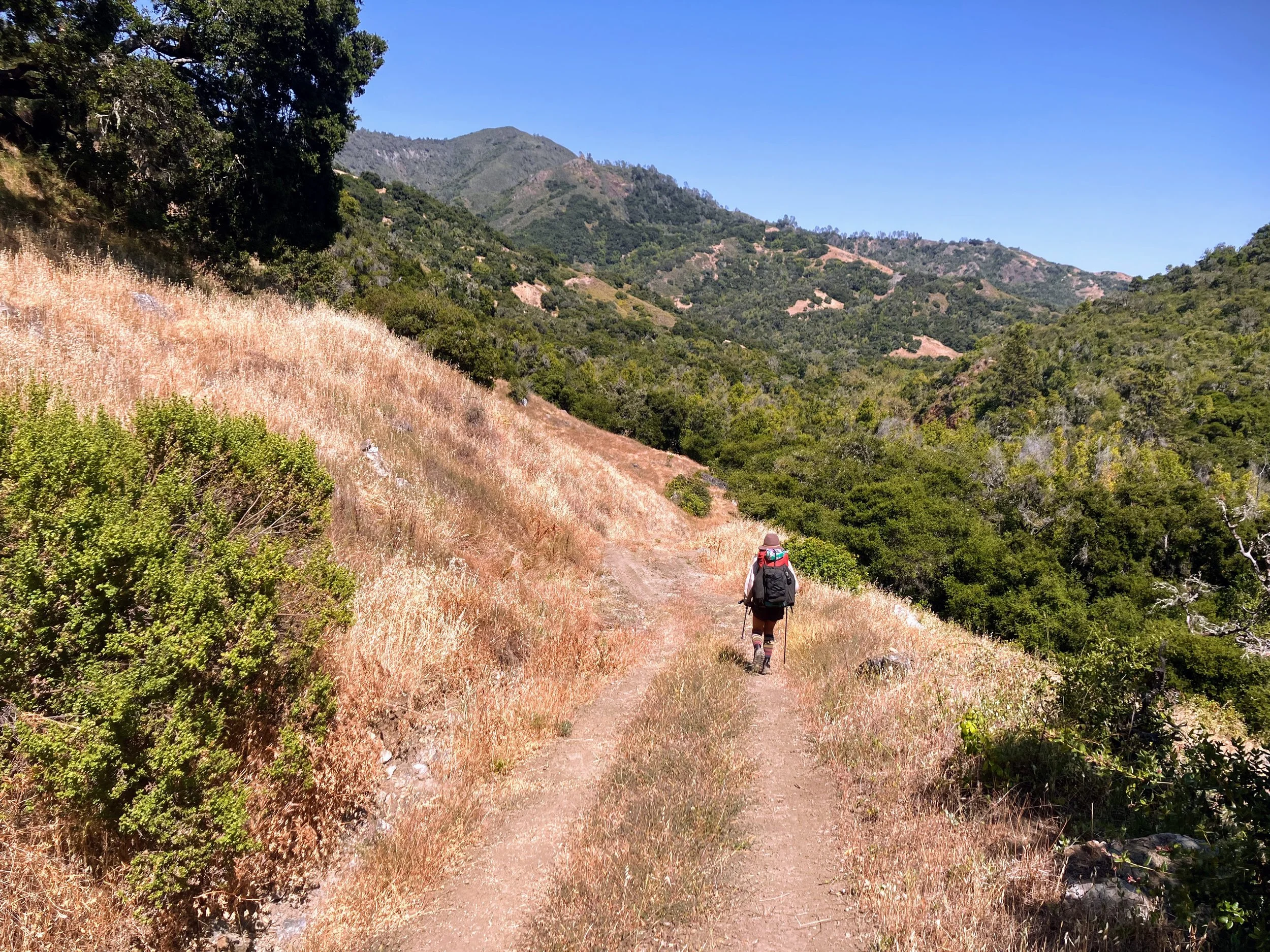
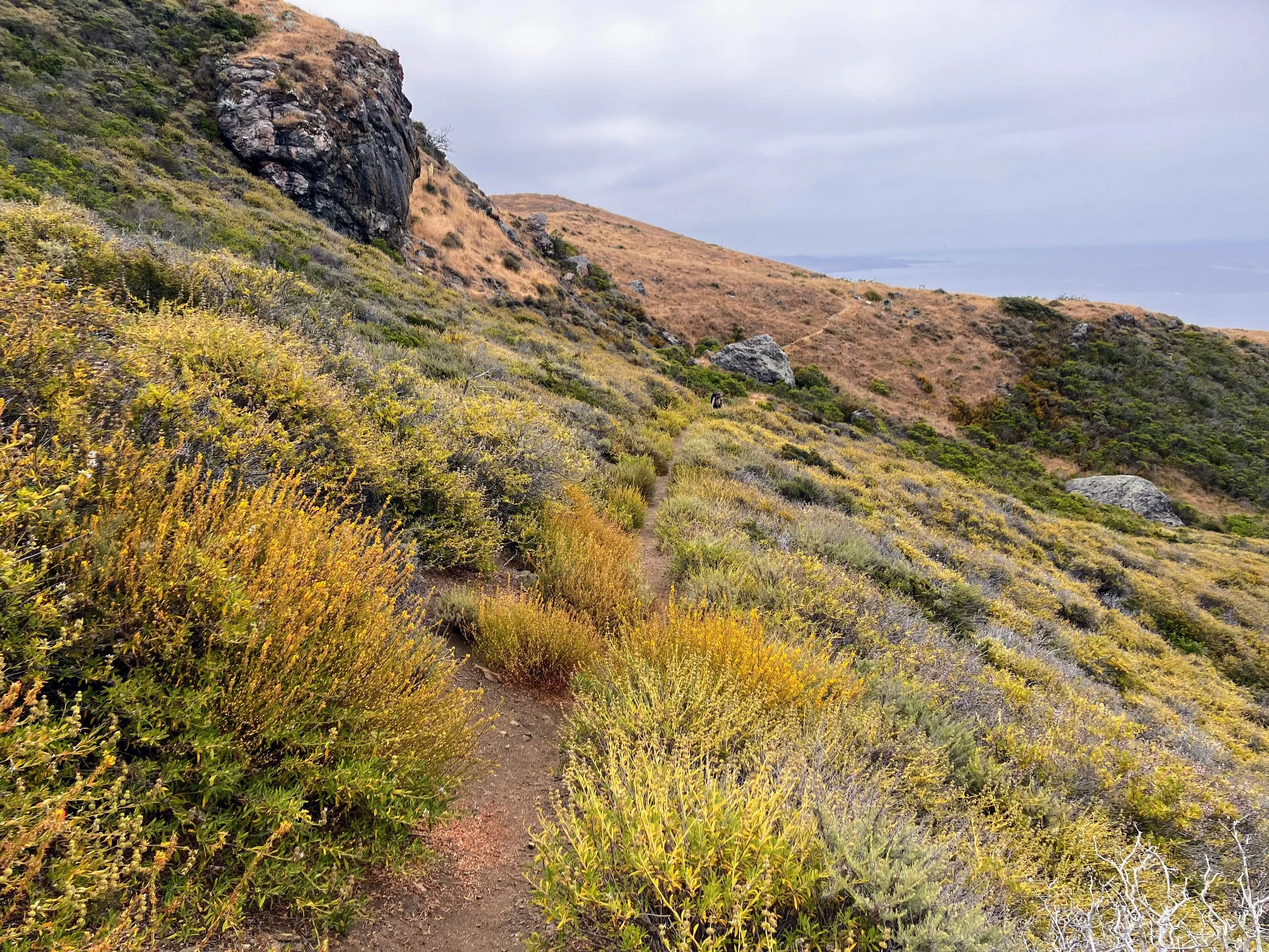
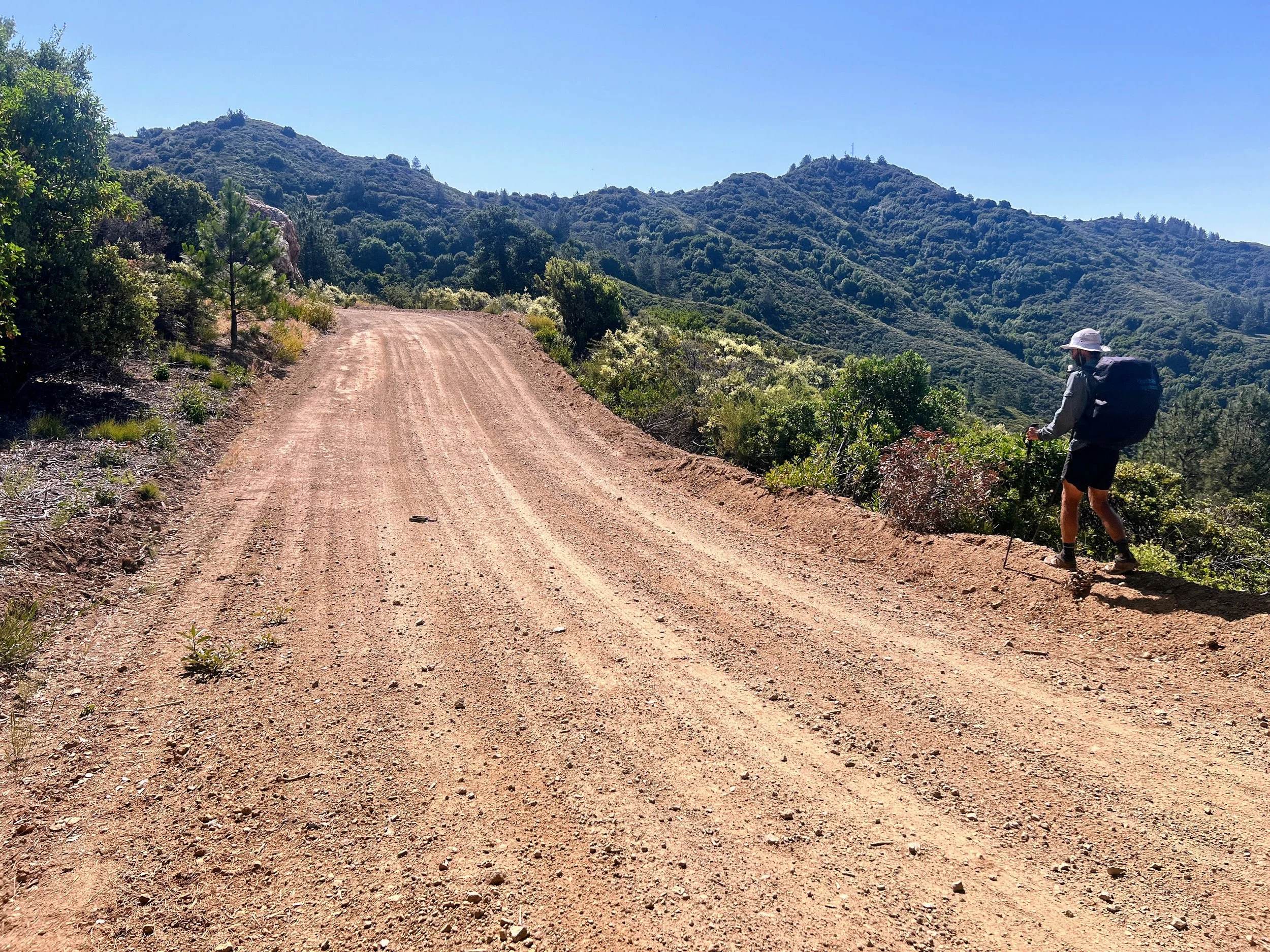
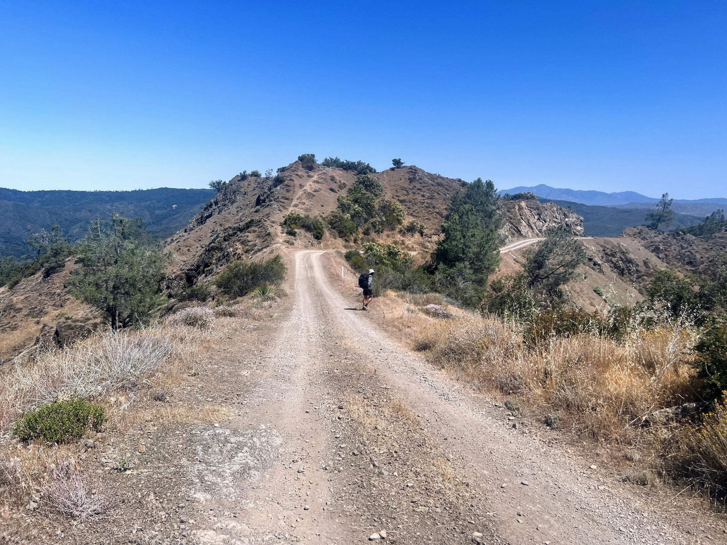
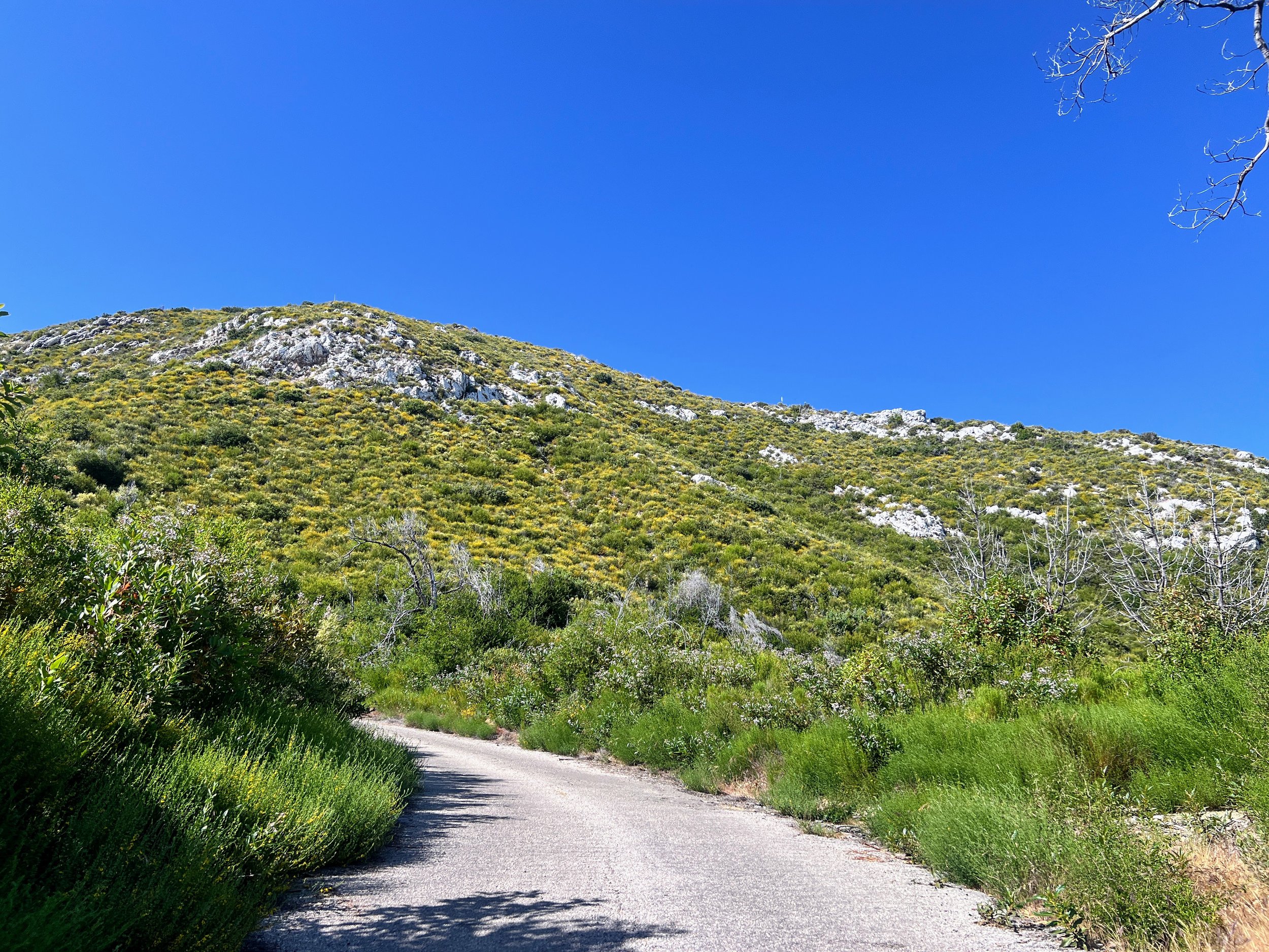
We turn a corner and the landscape changes. Expansive views stretch out across corrugated peaks and rolling green hillsides. The terrain is drier, rockier, more open than the dense forest we’ve been hiking through. Below us, fog still fills the canyons in thick, quiet layers.
We reach Apple Camp and search for water, but all we find is some muddy puddles with tadpoles and murky water that smells like cow poop. We keep going.
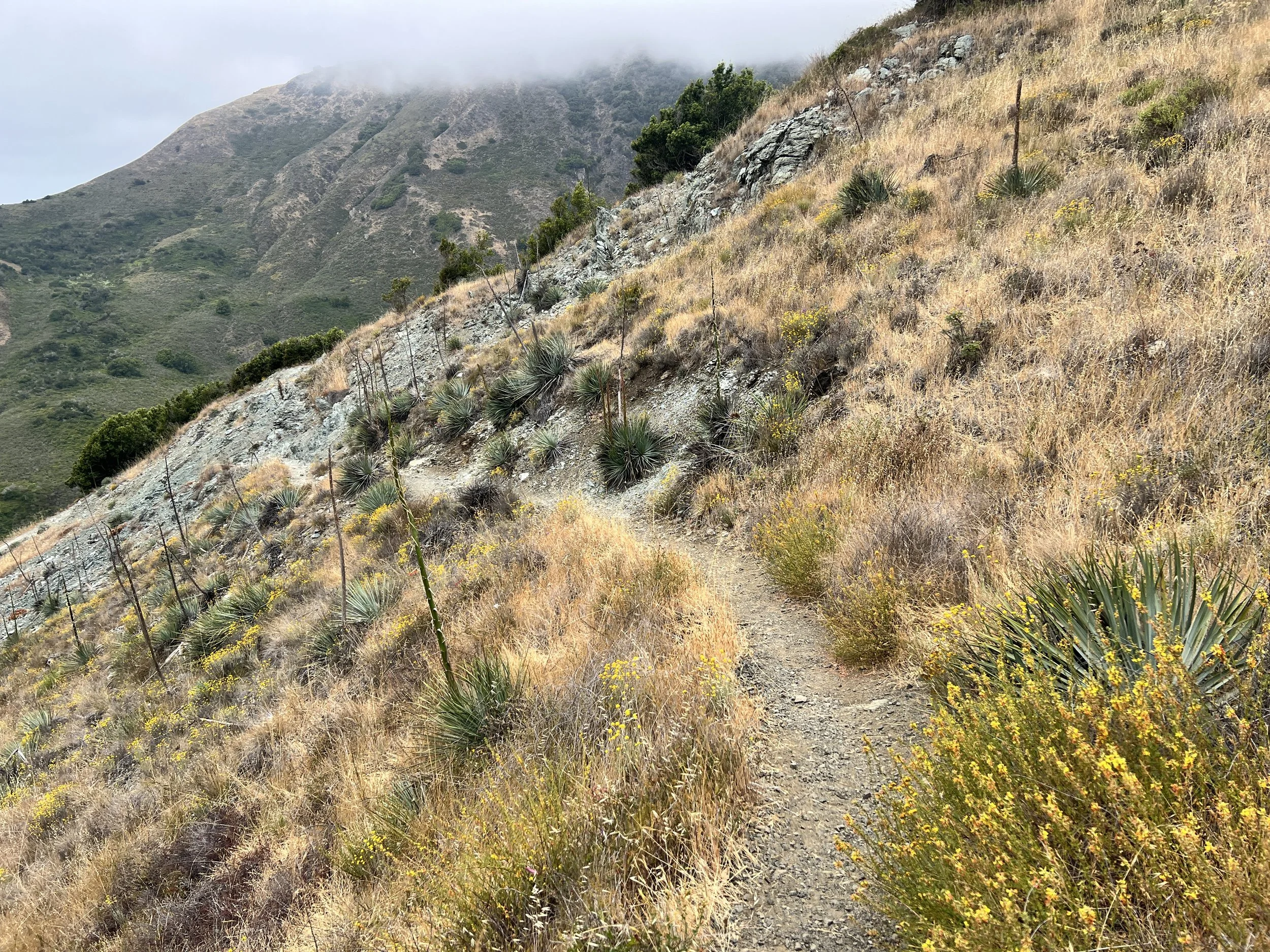
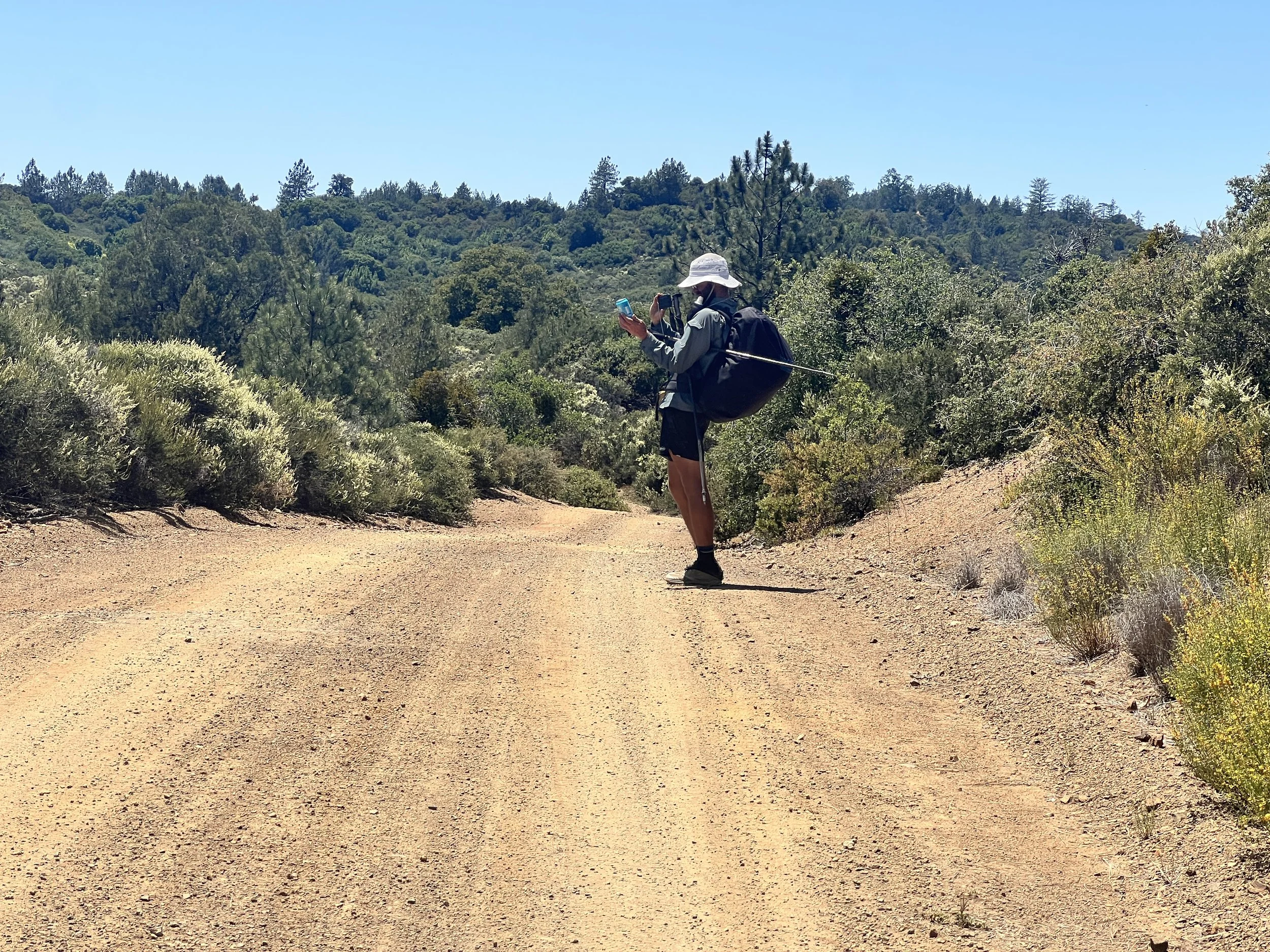
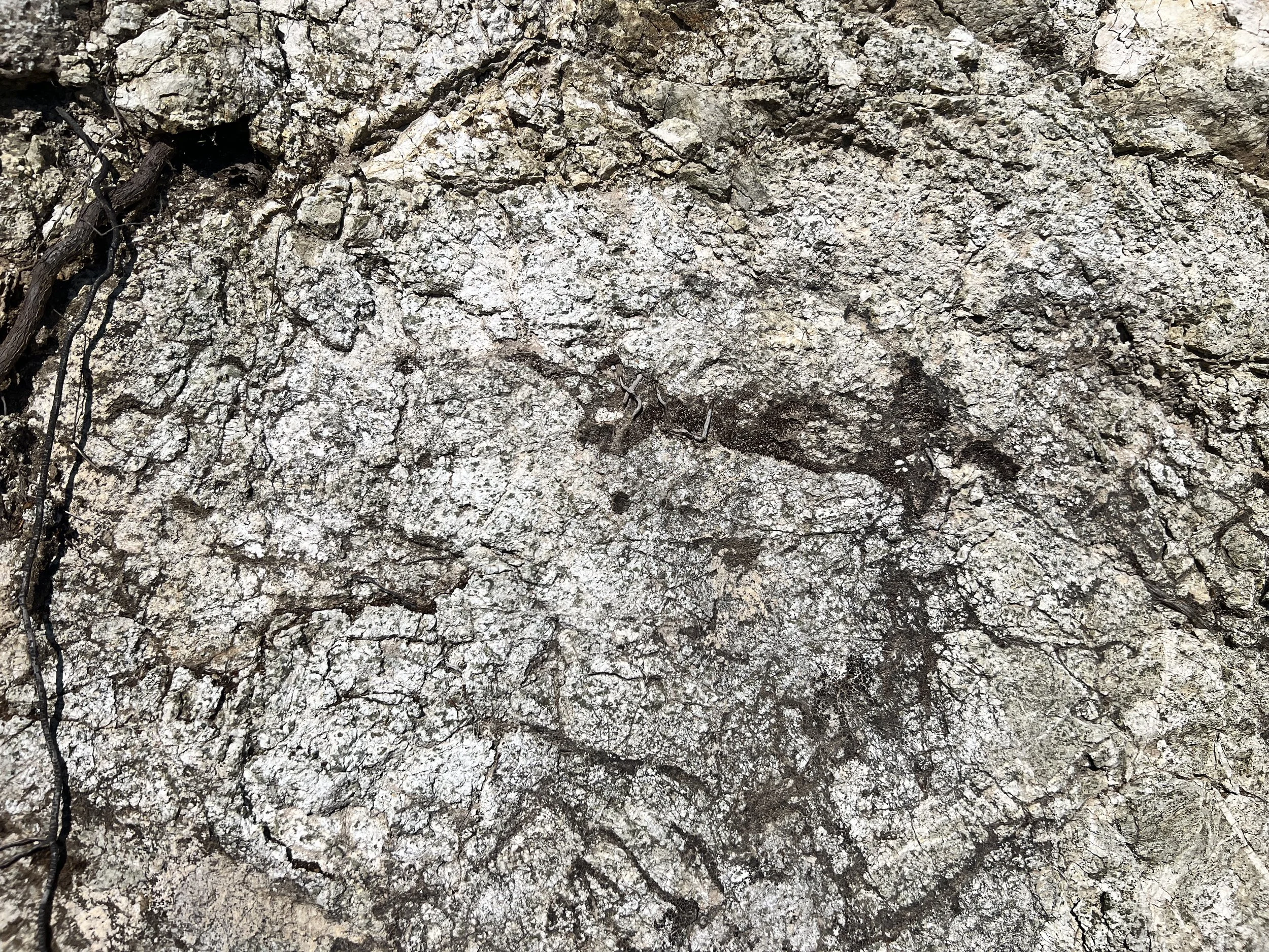
Near Chalk Peak, pale white rocks scatter across the hillside. Bees drift from deerweed to deerweed, their yellow flowers bright against the green. Cone Peak rises in the distance, bold and jagged. It might be the best view on the entire Condor Trail. I try to capture it with my phone, even though I know the photo won’t do it justice.
A slow-moving truck rounds a corner and interrupts the moment. I step off the road and wave him through, but he stops and waves me forward instead. He rolls down his window as I walk up, hopeful. Maybe more trail magic?
He gives a smug little smile and says, with a faint Southern twang, “Let the dust die down.”
Moments later, another truck approaches, slows, and stops.
The driver introduces himself: Tad. It just fits. White beard, tank top, bed built into the back of his truck. Friendly, laid-back, quick with a smile. He’s curious about our hike, but mostly wants road beta for his own camping plans. Says he raised his kids in Cambria and now lives in Morro Bay.
Cosmo steps up with his yogi pitch, mentions how far we’ve walked, how hot it is, how we’re low on energy but “loving the challenge.” It’s subtle, sincere, perfectly placed.
Tad just keeps smiling and nodding.
“Overall, we’re doing good, a little thirsty though…” Cosmo adds.
Nothing.
“Well, be safe out there and have fun!” Tad says, then drives off.
Cosmo and I turn to each other. “That was not on you,” I say, giving him credit for the effort.
Later, we meet a couple and their young son near a Sprinter van parked just off the road. They look like a Patagonia ad come to life, clean clothes, crisp puffies, stylish but functional. We say hello and conversation flows easily.
Despite the fact that we smell, have visible layers of trail grime, and are being followed by a swarm of biting gnats, they’re friendly and curious.
They ask the usual trail questions, where we came from, where we’re headed.
“It’s great you have the time to do this,” the man says, then pauses and corrects himself. “Made the time.”
We’ve heard that a lot on this trail. The luxury of time, how to take it, how to make it.
“We’re just doing some small hikes, celebrating our son’s graduation from pre-K, actually,” the woman adds.
“That is so cute,” we say.
Meanwhile, the graduate himself wanders in loose, aimless circles around us, making loud fake fart noises and yelling “Eww, it smells!” every time he passes by.
Suddenly the dad lights up like he’s just remembered something important. “Wait, do you want some chocolate?”
Do I want chocolate? Does a bear shit in the woods? Of course I want chocolate.
Cosmo tucks his piece away, showing restraint. I eat mine immediately. It melts fast, fancy health-food-store chocolate, the good stuff.
They tell us a story about just coming back from Jade Cove, where someone gave their son a piece of jade. They want to teach him how to pass good things forward, and they see this as a chance to practice that.
We’re more than happy to be part of the lesson.
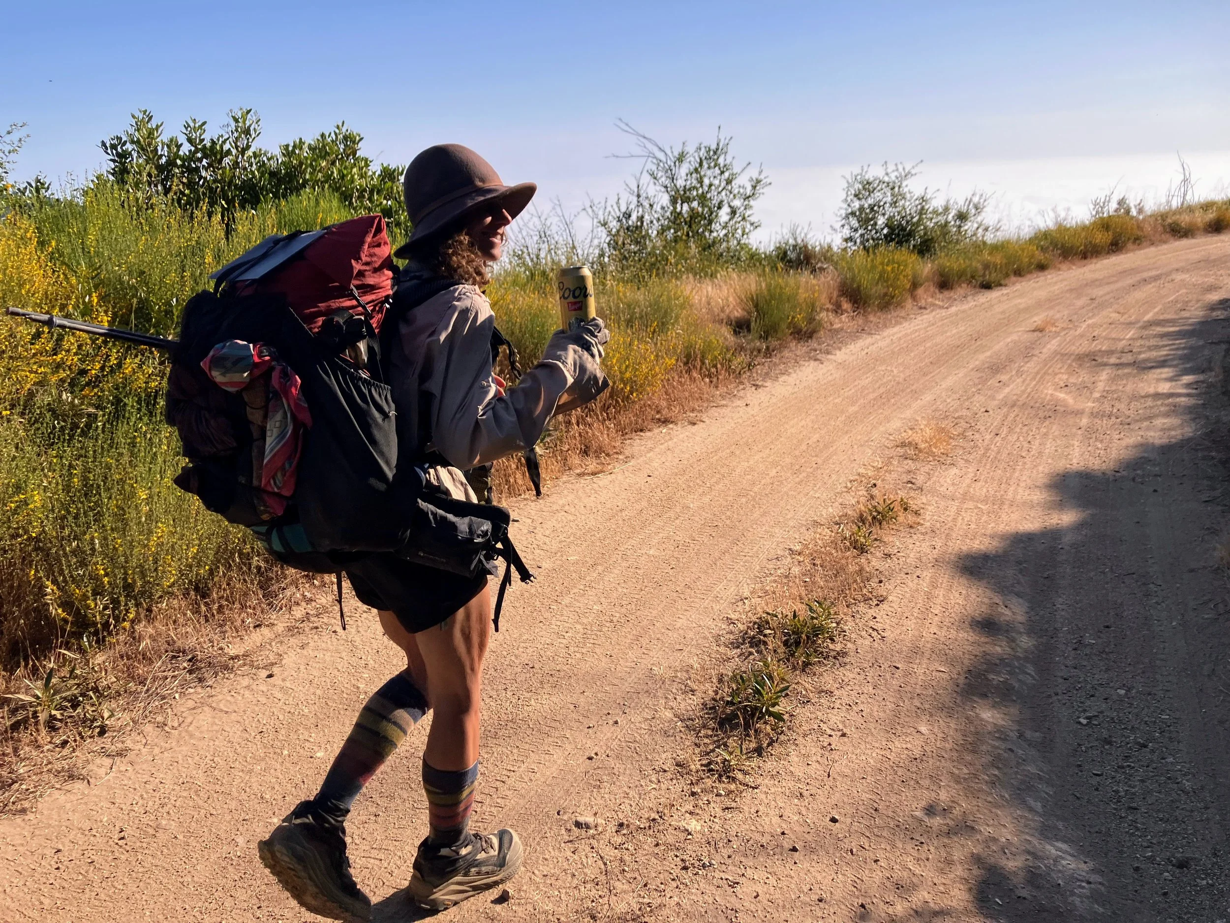
Before they leave, they hand us two cold Coors Lights, about three liters of water, and more encouragement than we knew we needed. We wave as they drive off, then pack up and hike on, grateful, even though we drink most of the water right away.
We reach the end of South Coast Ridge Road and hit the paved Nacimiento Road. The trailhead is on the other side of the road in a little pullout right at the junction. We cross the road and take a seat. We both know the water we got earlier helped but won’t take us far. We pull out the guidebook and try to figure out where the best place to get water might be. The road stays empty until, almost on cue, a car comes around the bend and slows to a stop in front of us. The driver’s side window rolls down, revealing three young, college-age-looking men, fair-skinned, casually stylish and respectful in a way that feels effortlessly cool and not any of the usual frantic college-kid energy.
The driver smiles and leans out, “SÅ, vhat are you döing out here?”
They explain that they are from Sweden, on vacation. Now it all makes sense.
Cosmo walks up to the window and chats with them. They’ve heard of the John Muir Trail and think it’s cool that we are doing a thru-hike. Cosmo continues to work his magic, first sharing his last name Anderson, which makes all three of them perk up at once, grinning and nodding like he’s just confirmed some long-lost Scandinavian connection. Then he explains that we are debating taking a mile detour to get water. “Vee haff vatter we can spare!” one of them says.
“Are you sure?” we ask. That would be great. They start handing us bottle after bottle until it adds up to three and a half liters.
We’re grateful and think it will be enough to get us through the next 9.7 miles. They drive off and we beam with the generosity of the day. It’s nearly sunset with about an hour of light left, but we are feeling good - well, mostly good.
We hike on a little longer despite Cosmo quietly revealing he’s now dealing with a painful rash and chafing situation that is getting harder to ignore.
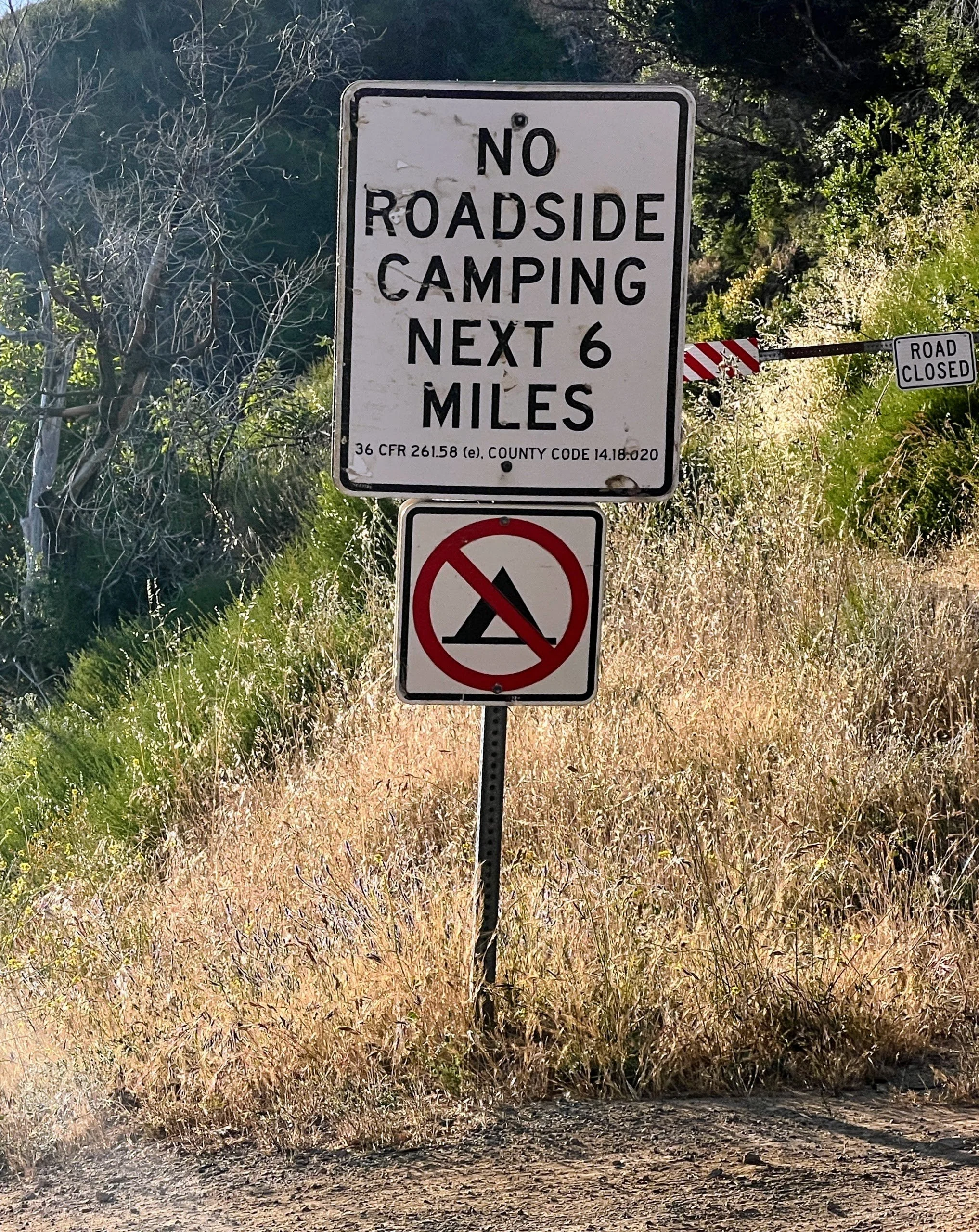
This part of the state isn’t friendly to car campers or dirtbags trying to sleep roadside. So many restrictions. So much private land.
We end the day on Forest Road 22S05. Nobody is around and figure we will be up early, and that the least disruptive, most leave-no-trace option is the dirt road.