Condor Trail Part 4: Morro Bay to Ragged Point
Day 20 | June 3, 2025
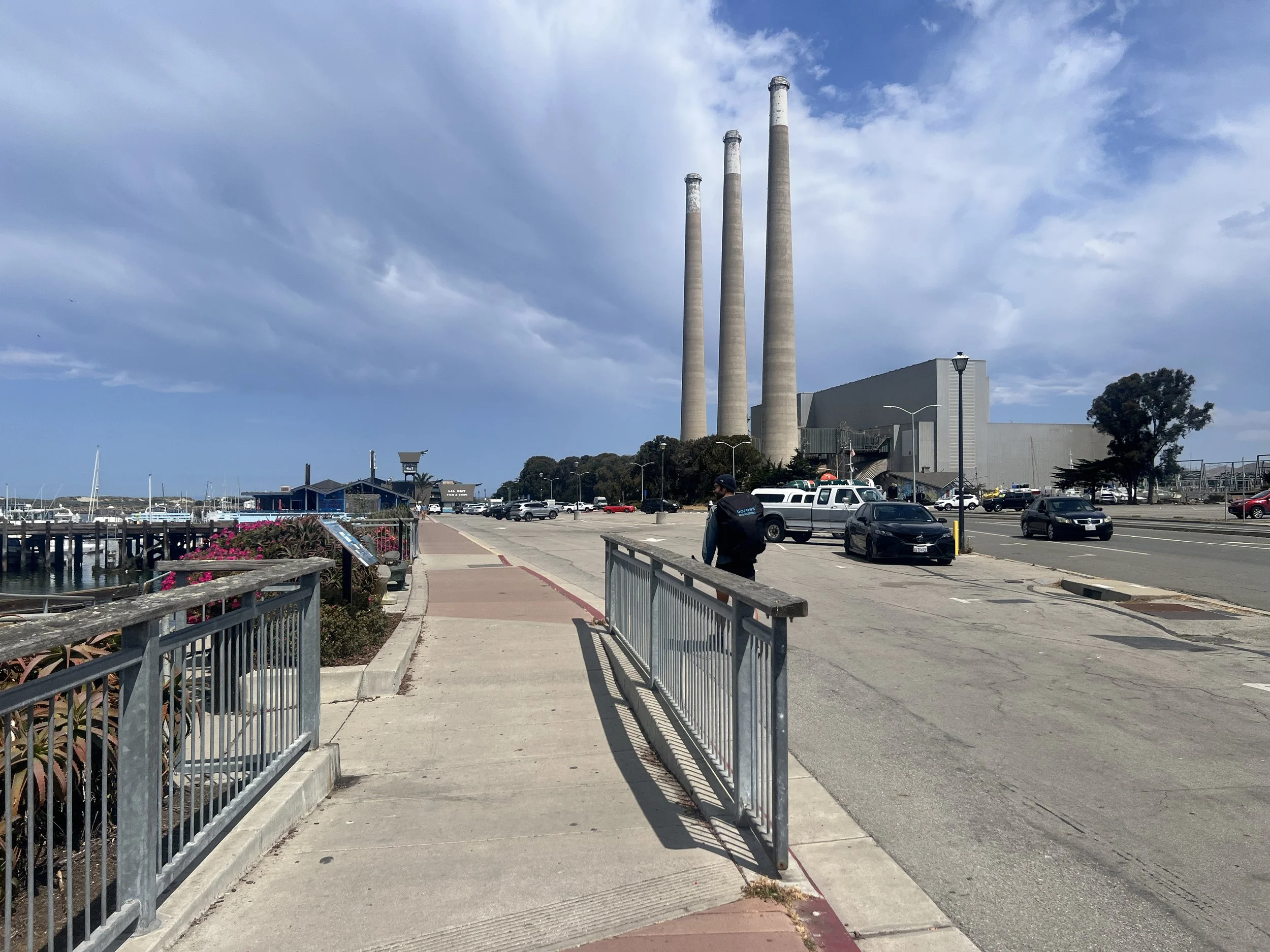
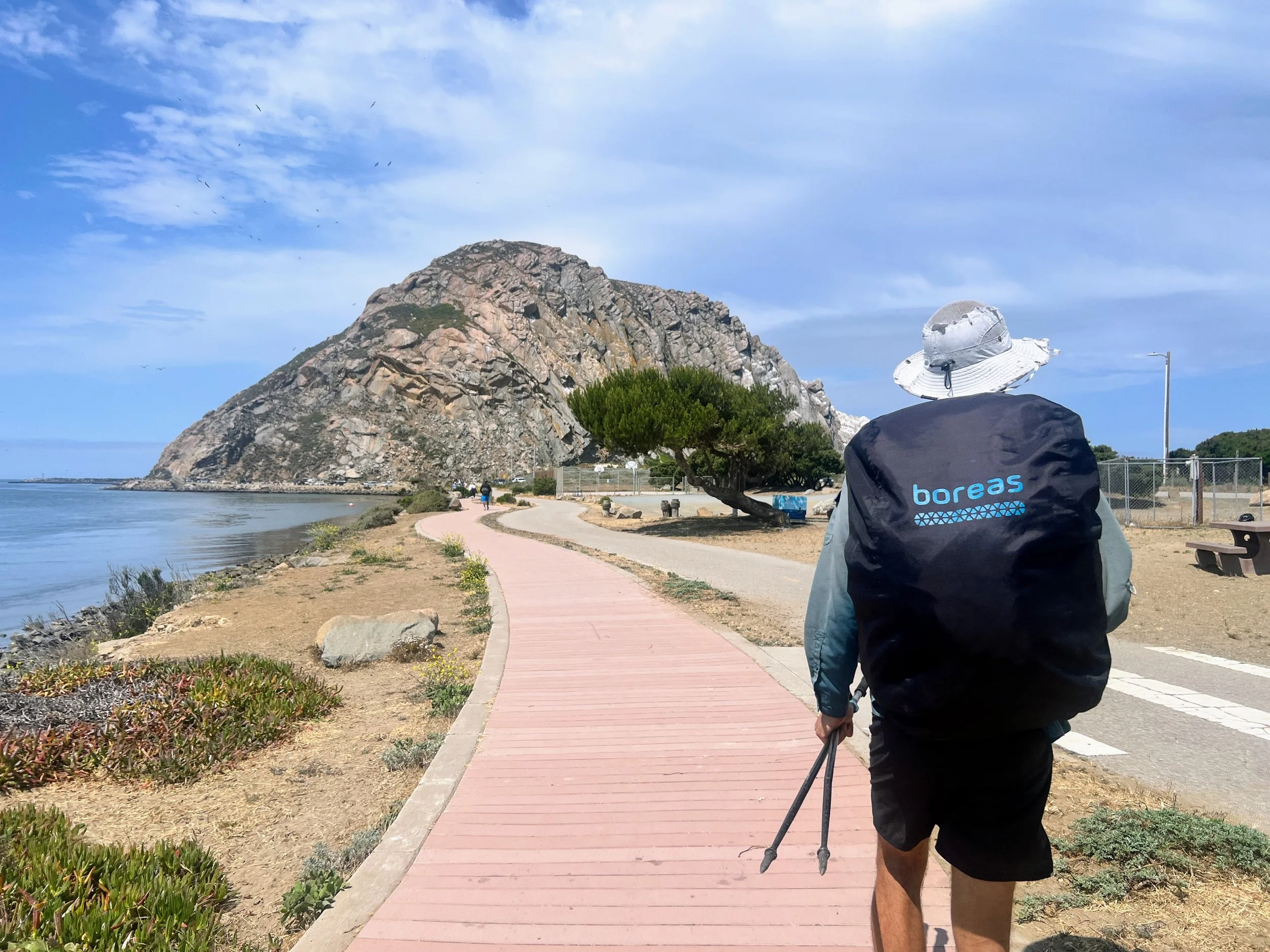
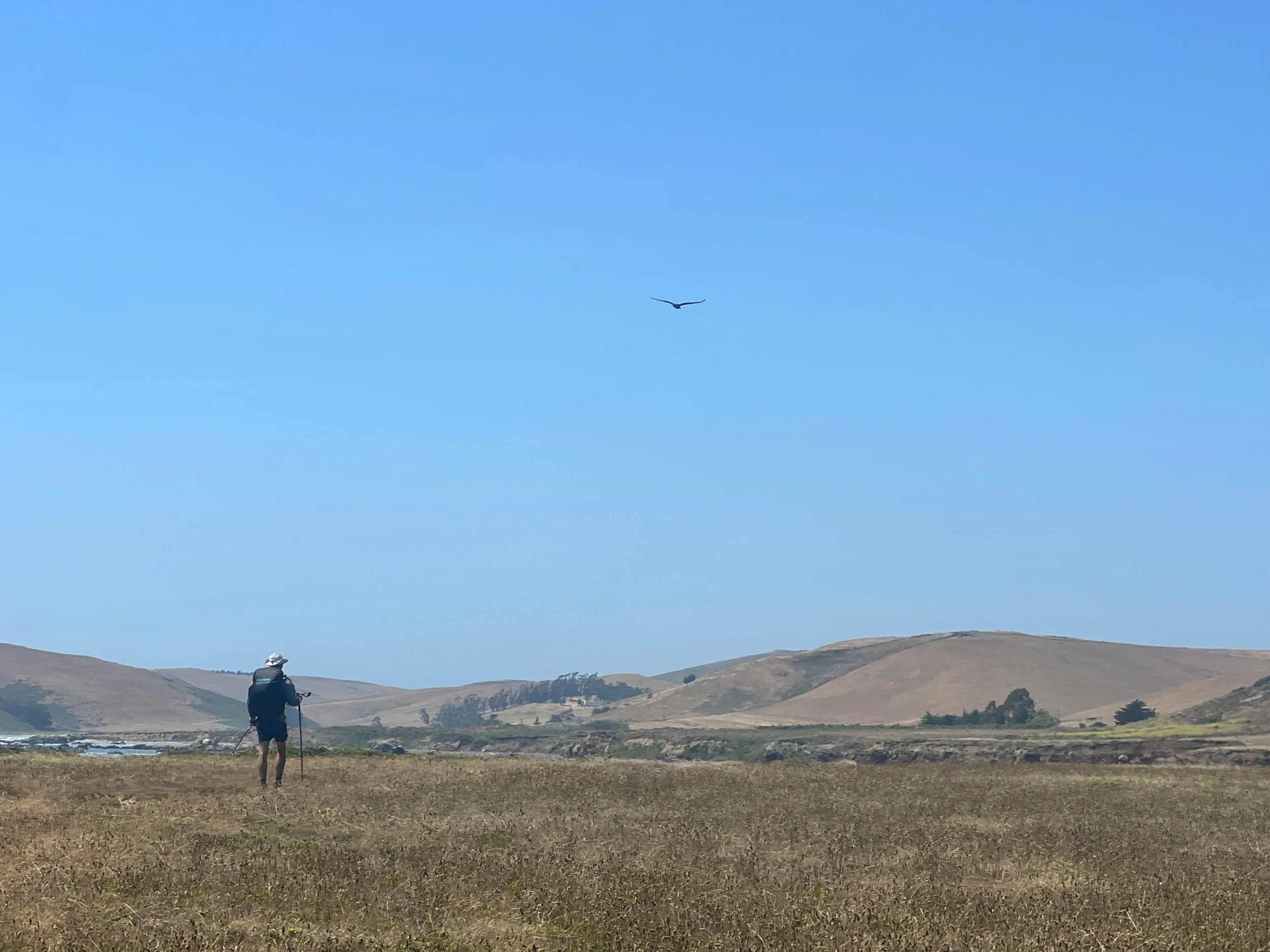
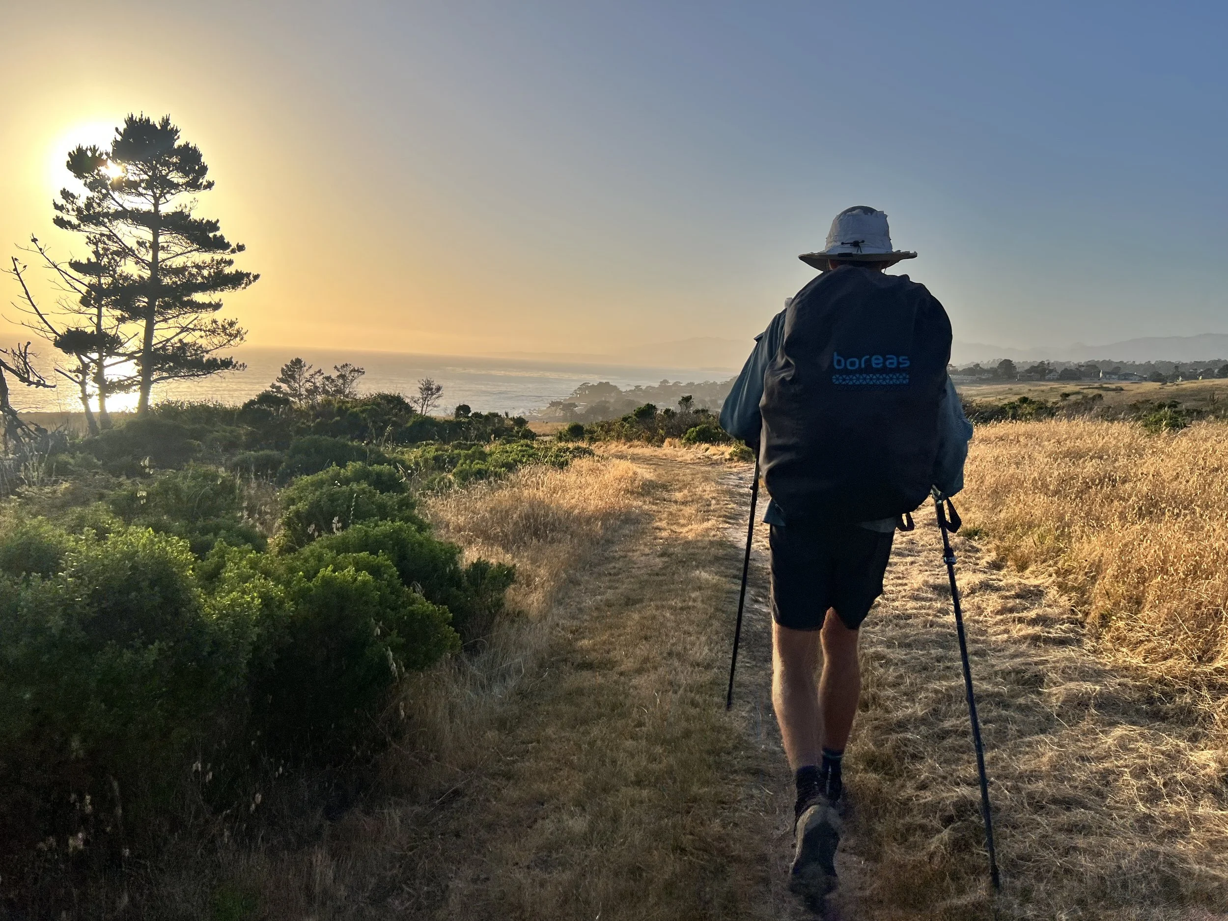
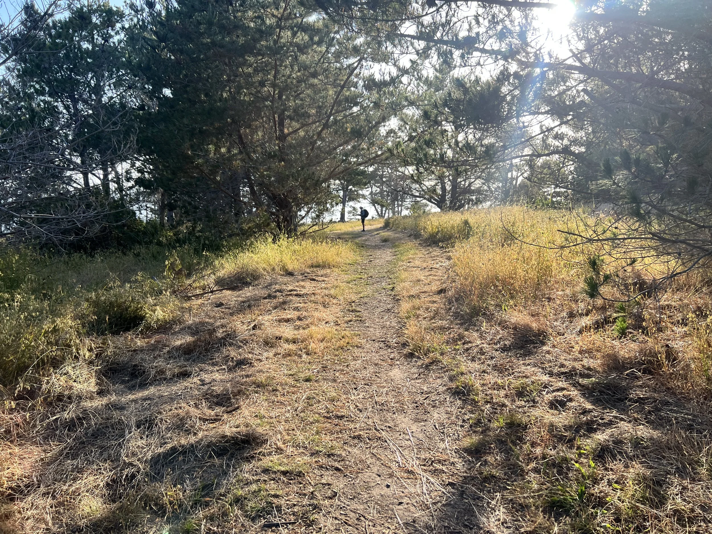
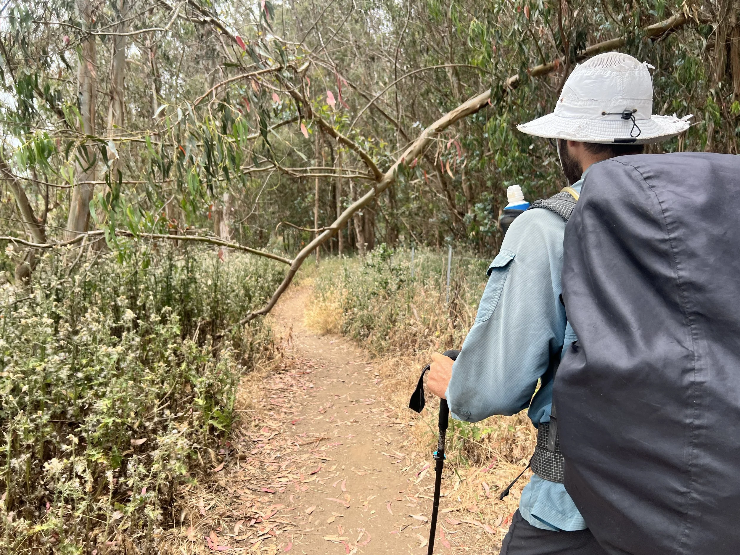
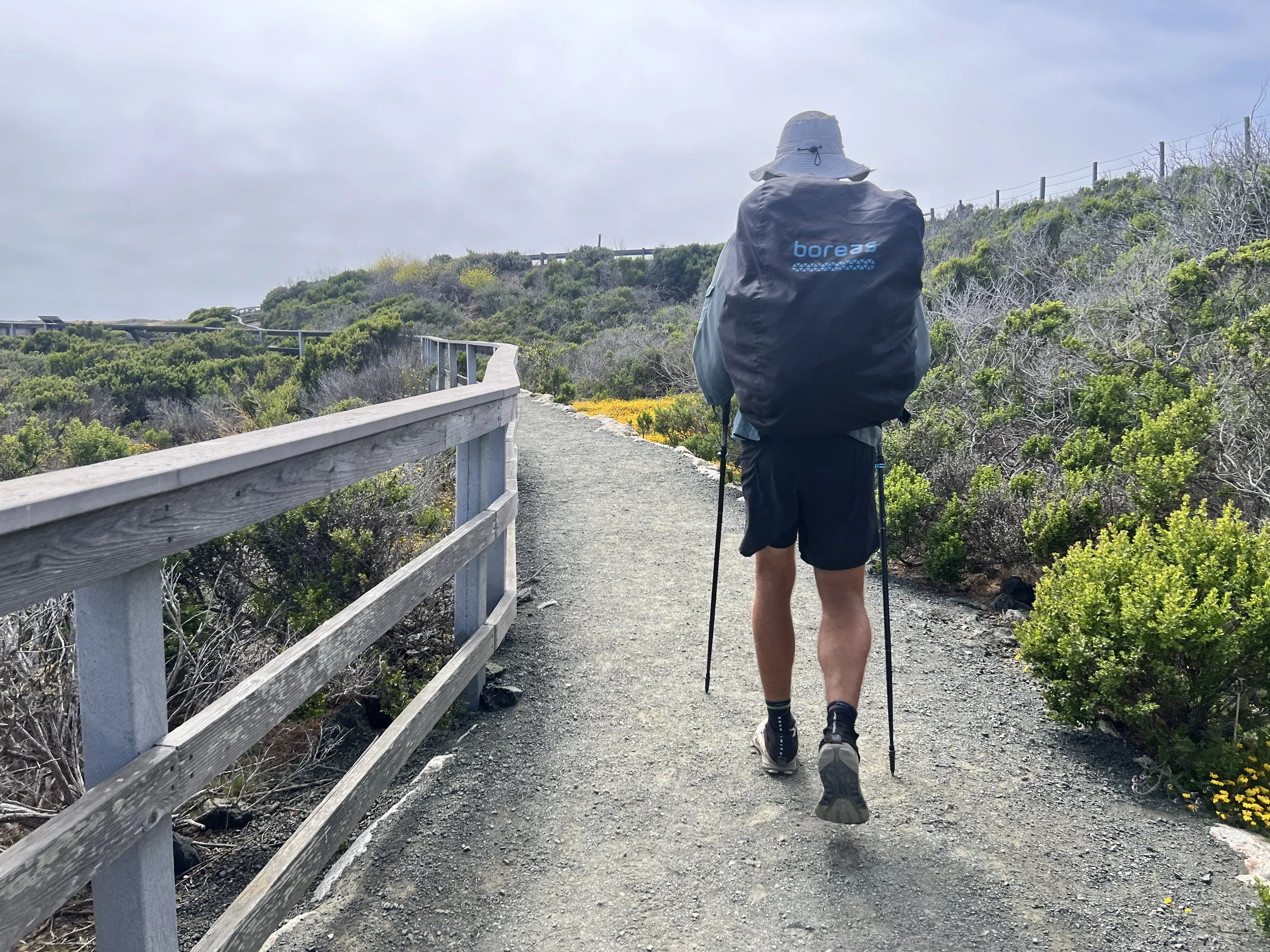
We leave the town of Morro Bay and enter a new chapter: the beach section, with sandy shores and stretches of highway weaving through small coastal towns. I’ve been looking forward to this part of the Condor Trail; the plants, the animals, the terrain will all be new to me. After nineteen days of bushwhacking and poison oak, even the idea of flat, predictable highway hiking feels like a welcome relief.
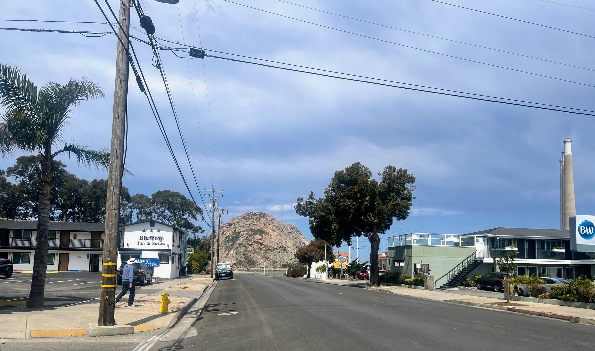
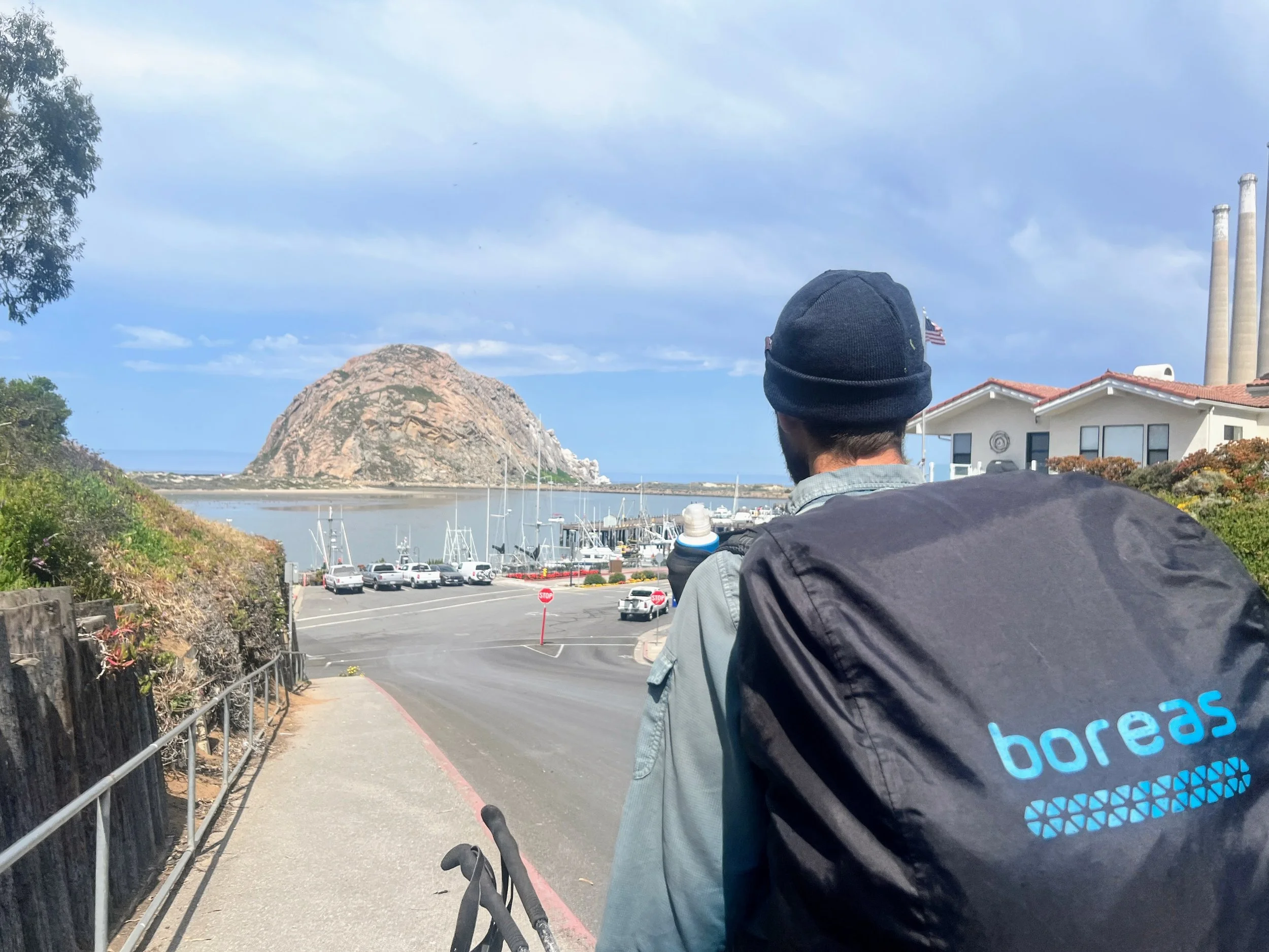
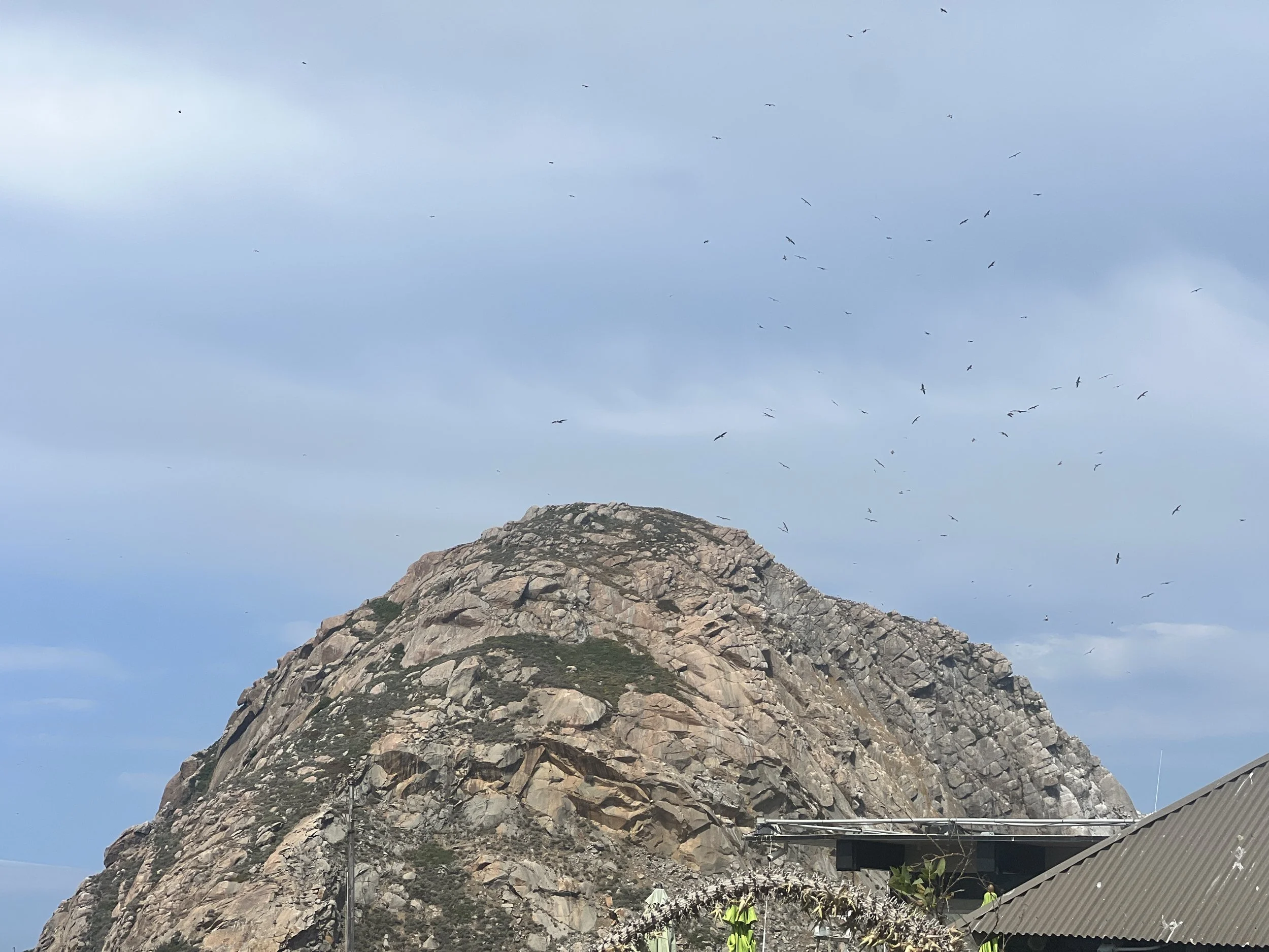
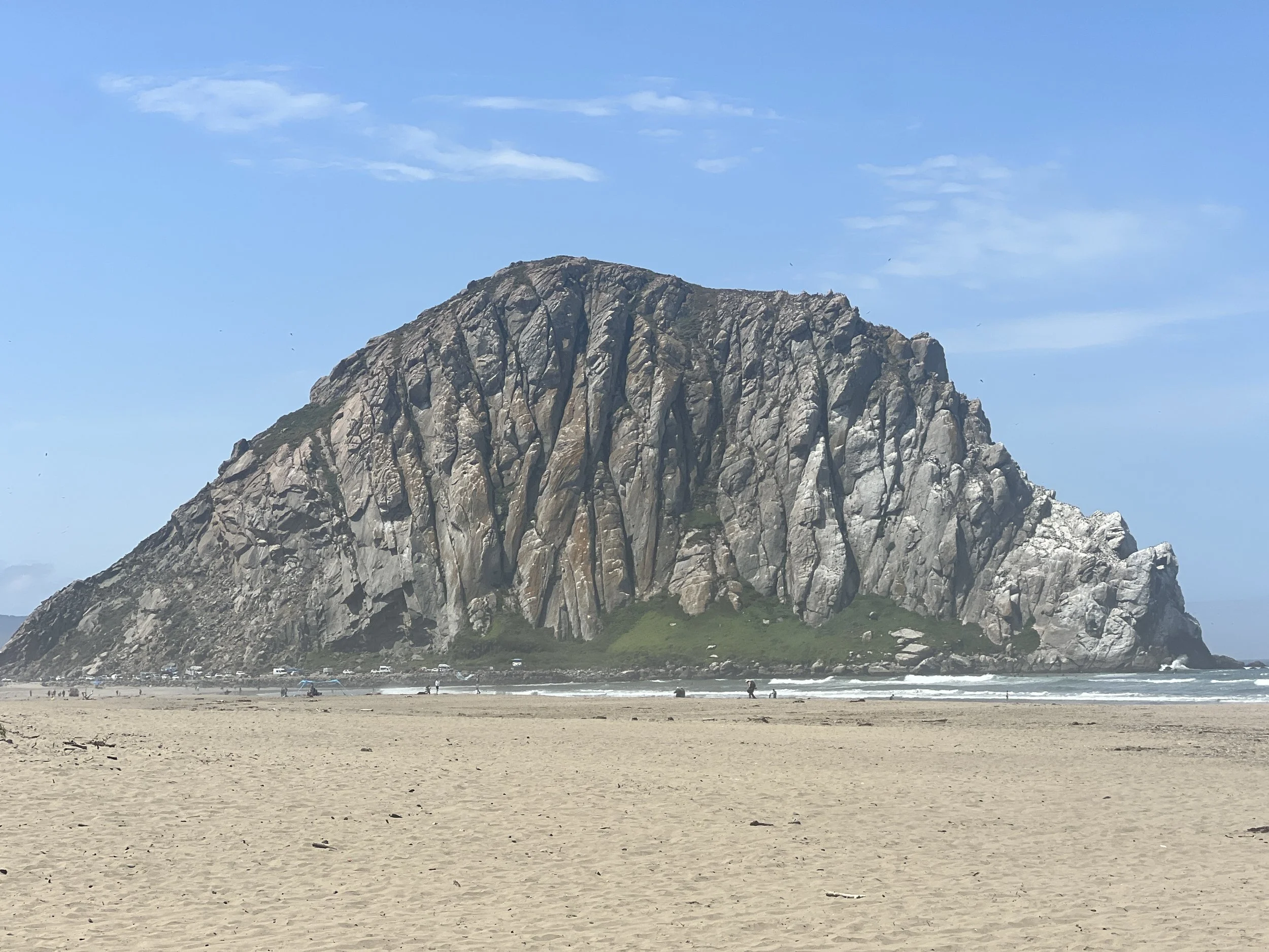
Seagulls circle Morro Rock as we pass through Coleman Park.
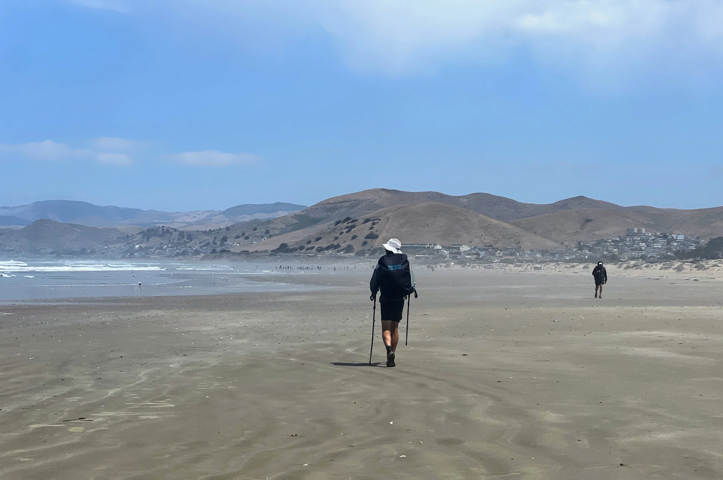
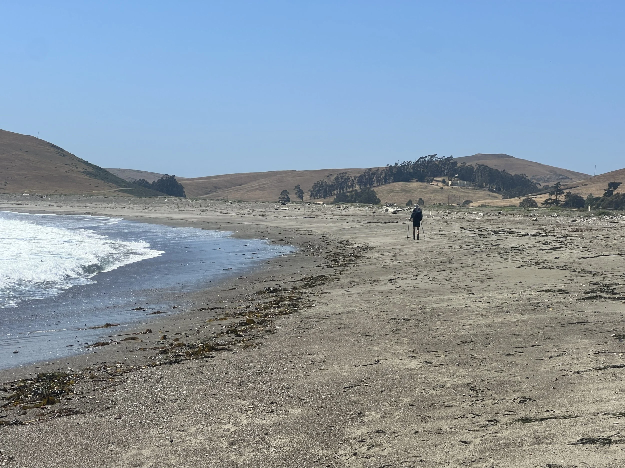
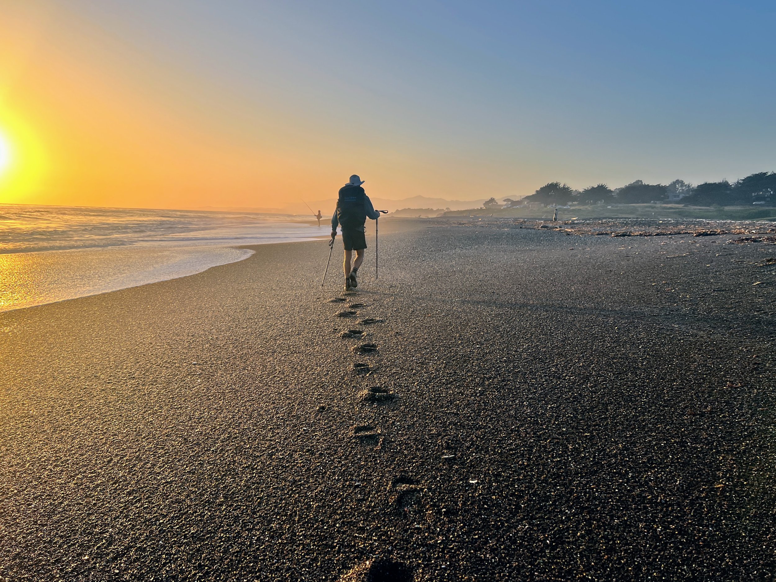
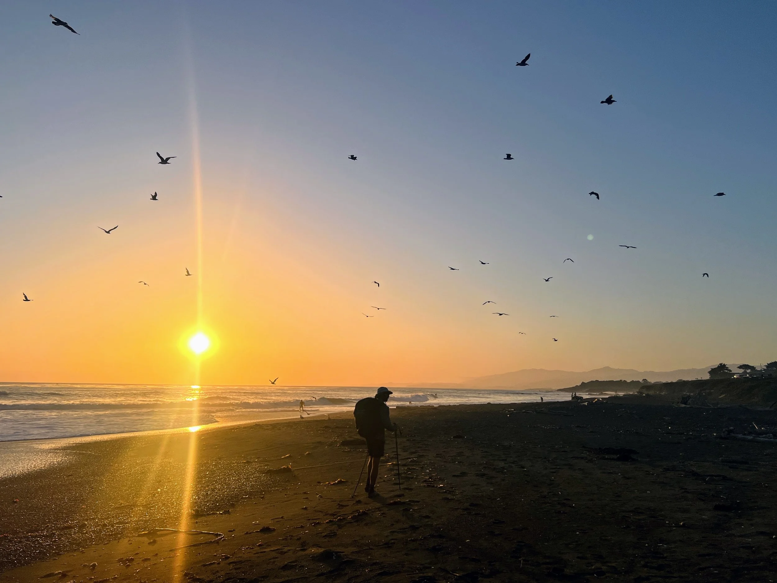
We head north along the wide, open sand of Morro Strand State Beach, the shoreline stretching all the way to Cayucos. Families and beachgoers dot the sand, playing and strolling, and I can’t help but wonder what we look like to them, walking along the shore in trail runners, with hiking poles, big backpacks, and dirty, torn clothes.


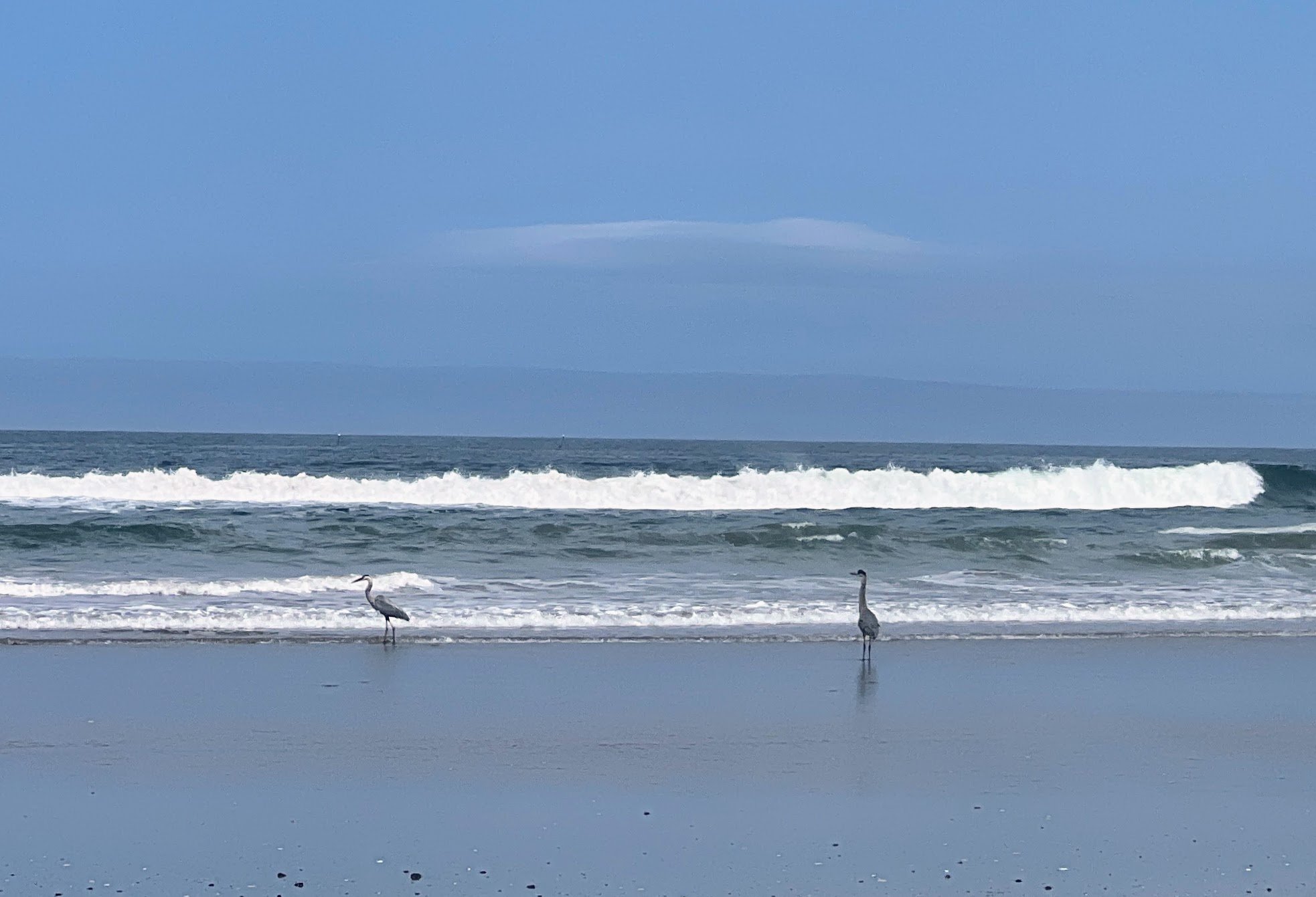
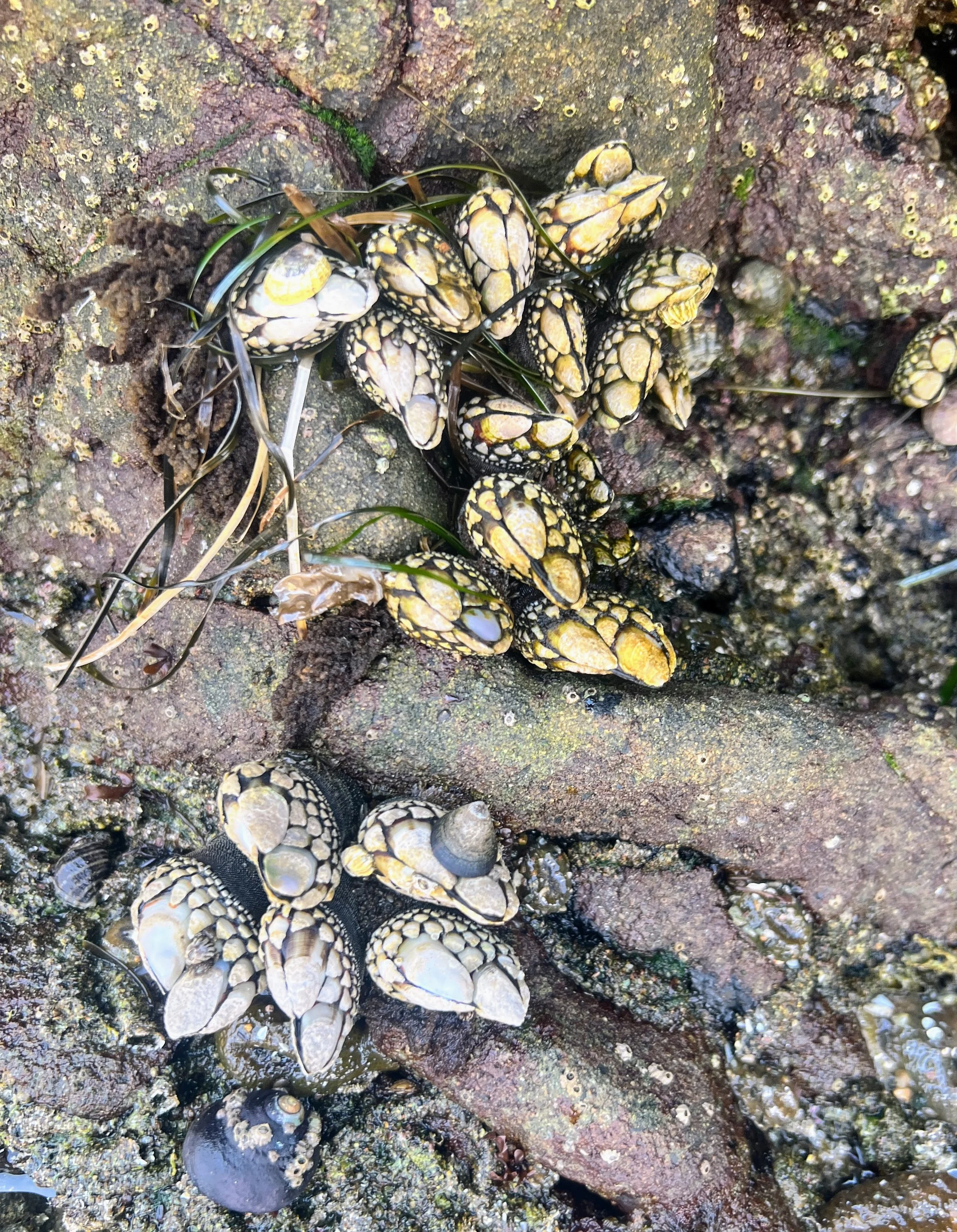
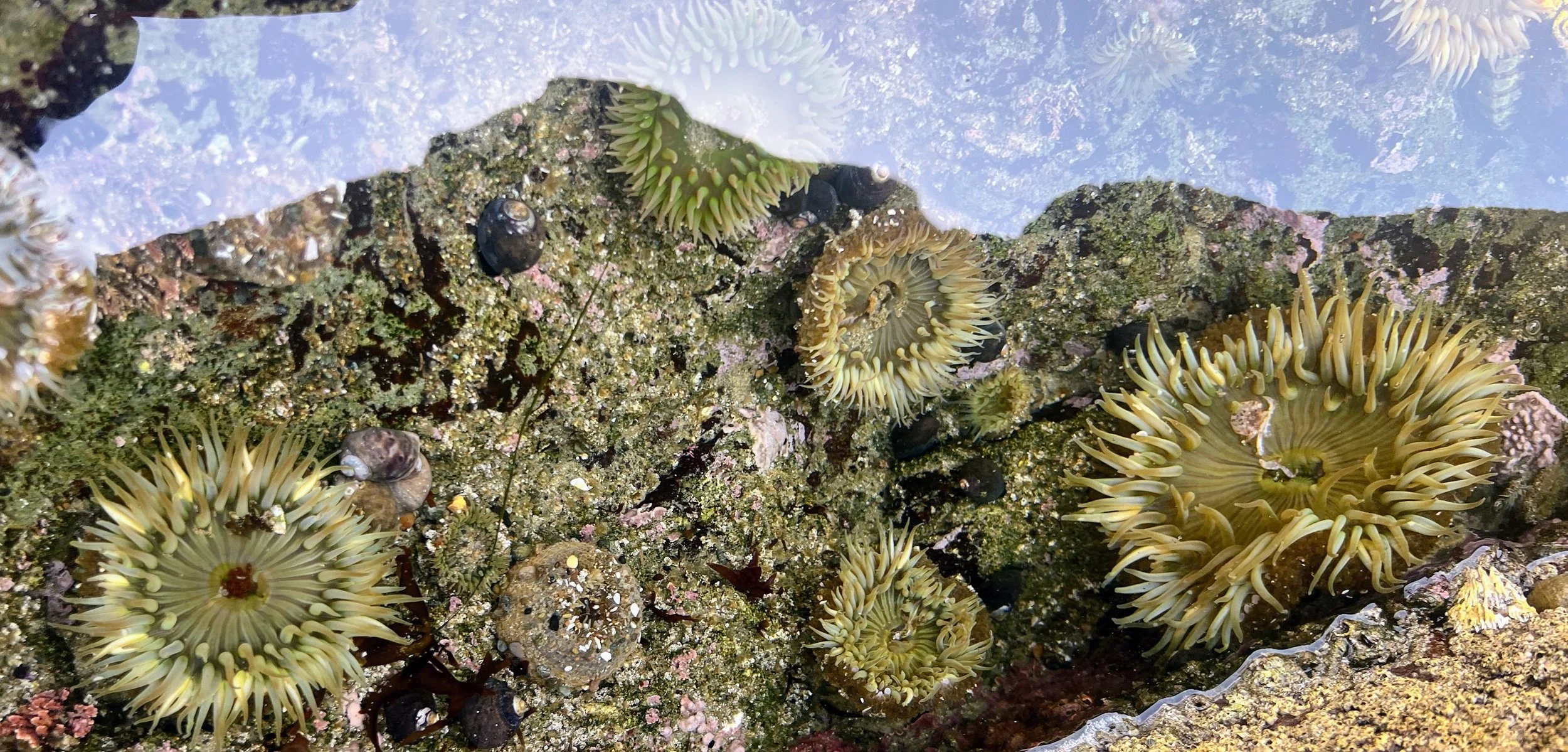
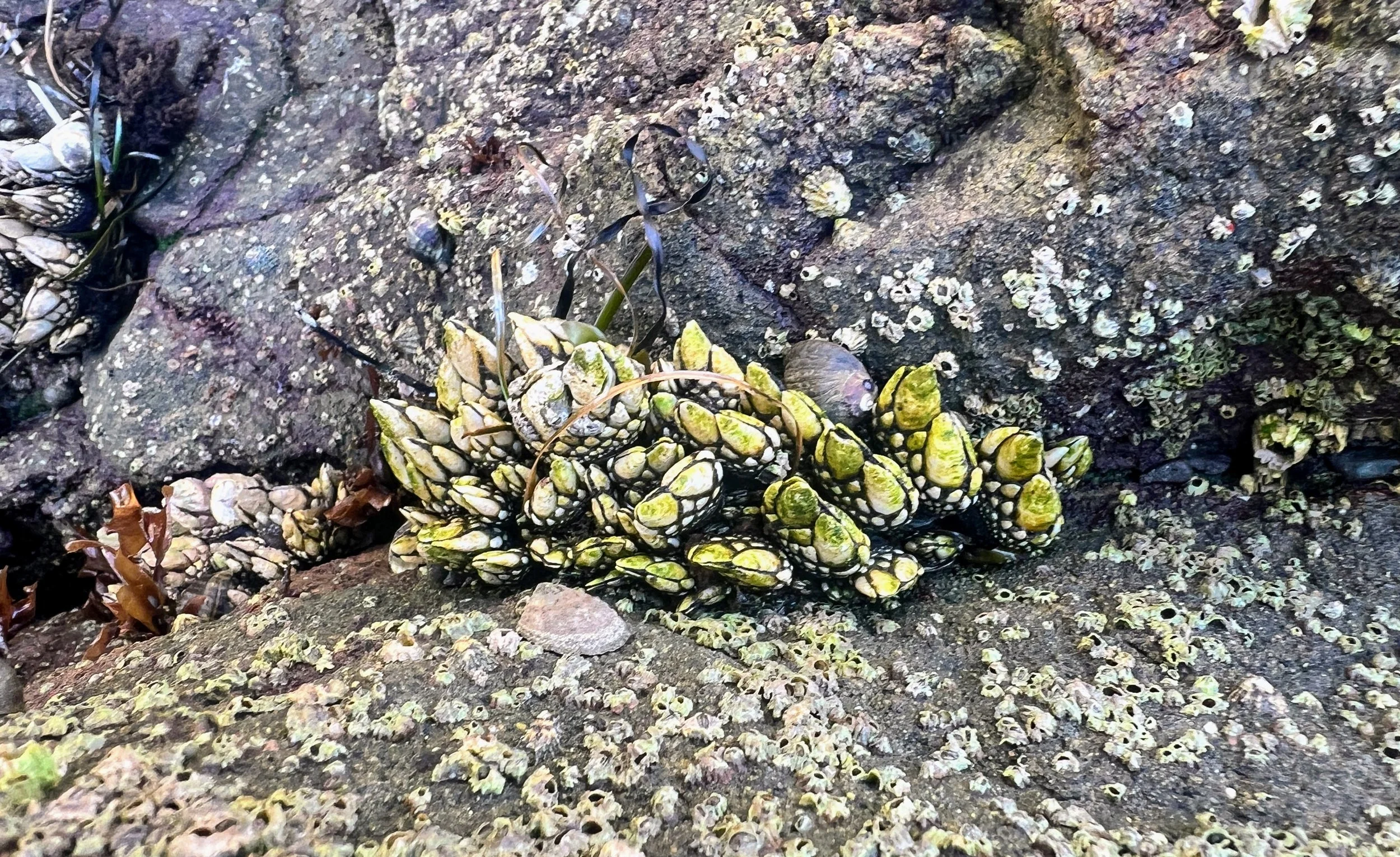
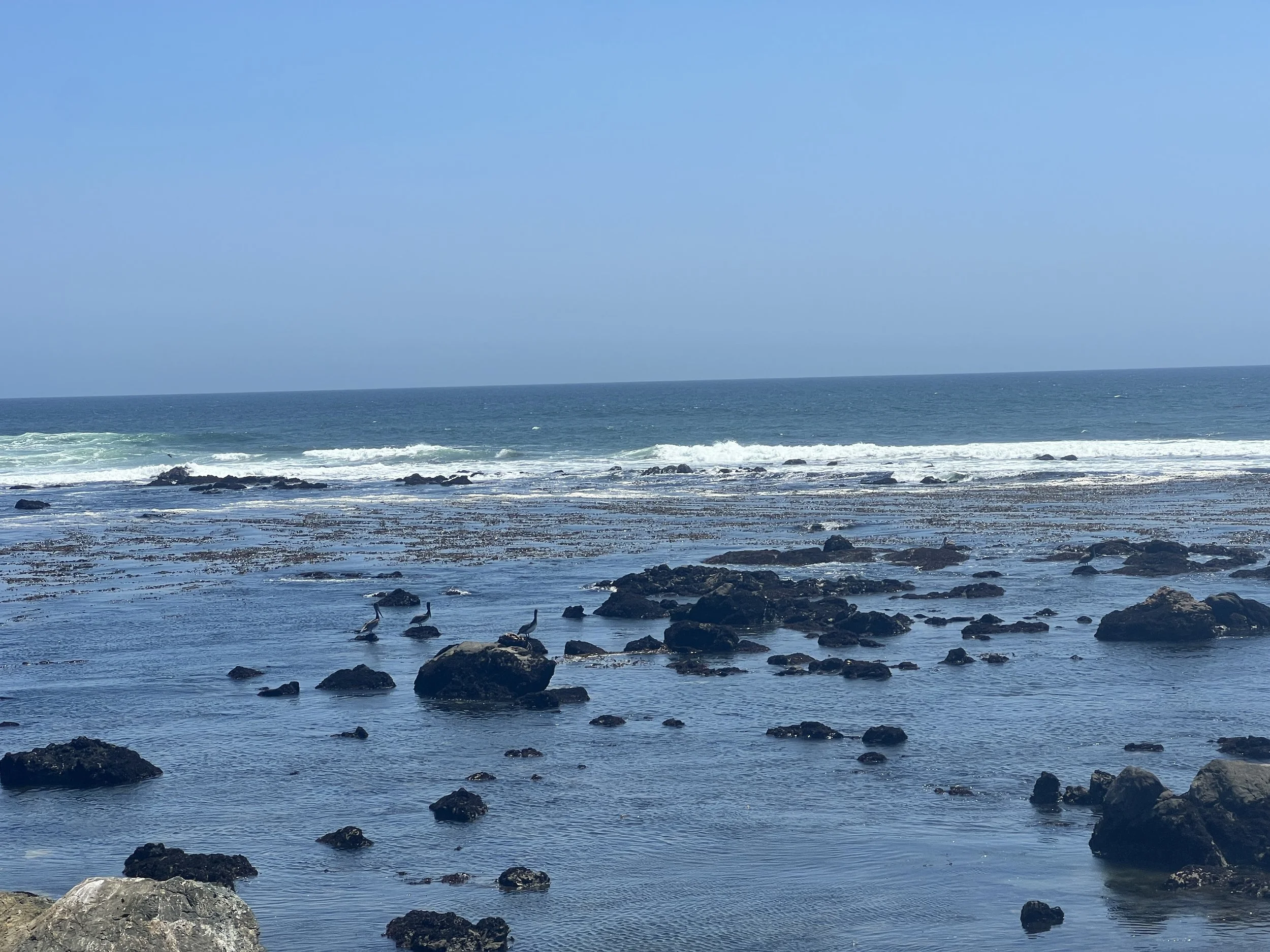
We climb over small rock outcroppings and pause at tide pools, spotting sunburst anemones, gooseneck barnacles, and striped shore crabs scuttling across the rocks and slipping into crevices. Cosmo crouches down beside me and points to an anemone. “Watch this,” he says, gently pressing his fingertip against it. The anemone’s tentacles slowly curl inward, closing around his finger before opening again. My eyes widen, filled with the fascination of a five-year-old. I try it too, mesmerized as the tiny creature responds, curling and uncurling in a delicate, rhythmic motion.
I look up toward Cosmo, grinning, but he’s already gone, hiking ahead along the beach. I stand up and start moving quickly to catch up, though I’m admittedly distracted by the little wonders tucked into the tide pools.
We reach the Cayucos pier, and return to the streets, winding through town briefly before heading back onto the sand.
Leaving Cayucos, the town and its beachgoers fade behind us. Ahead, the sand stretches empty.
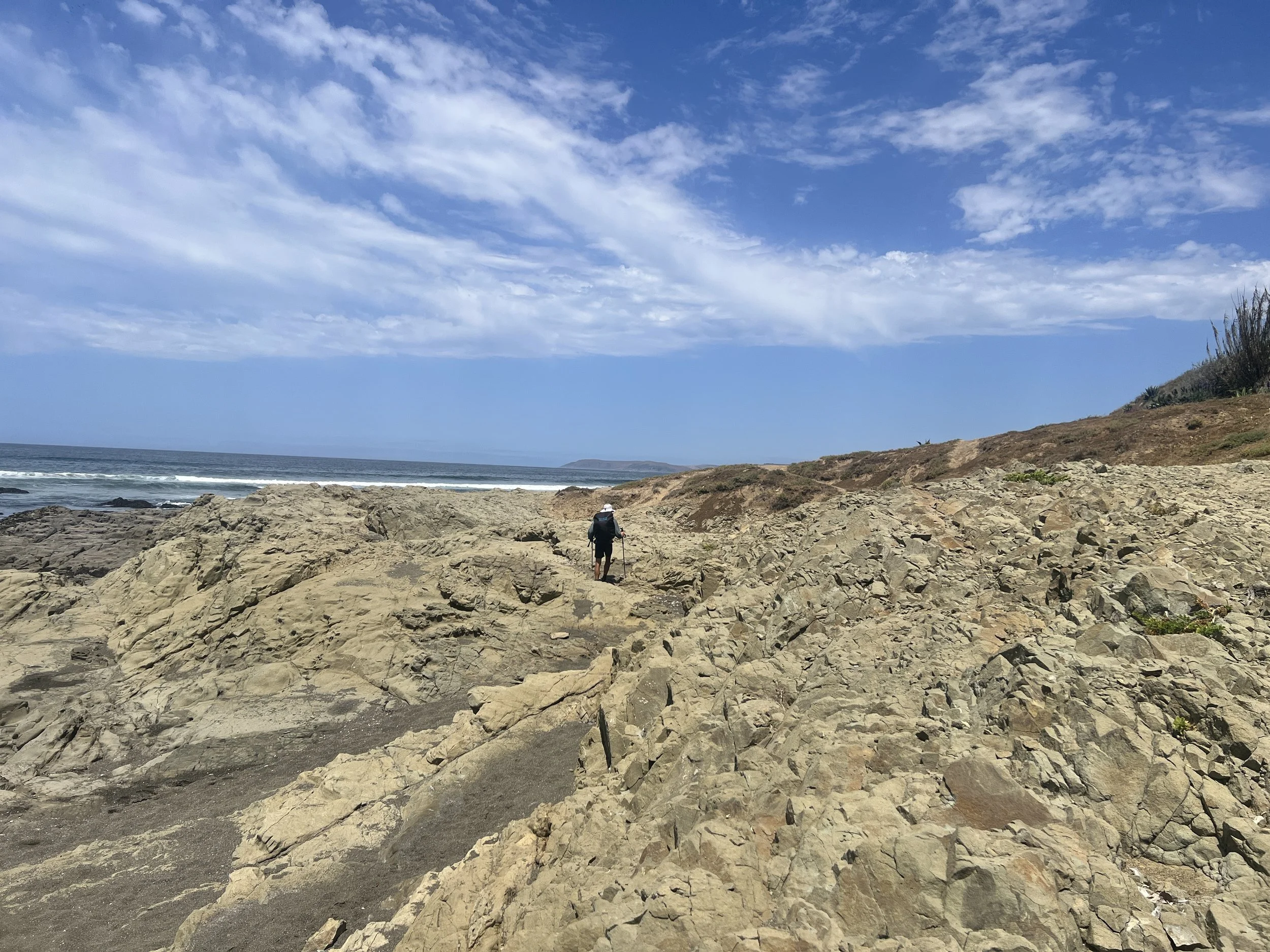
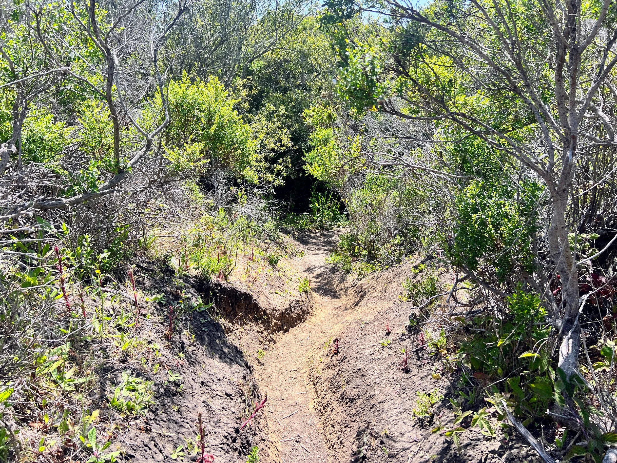
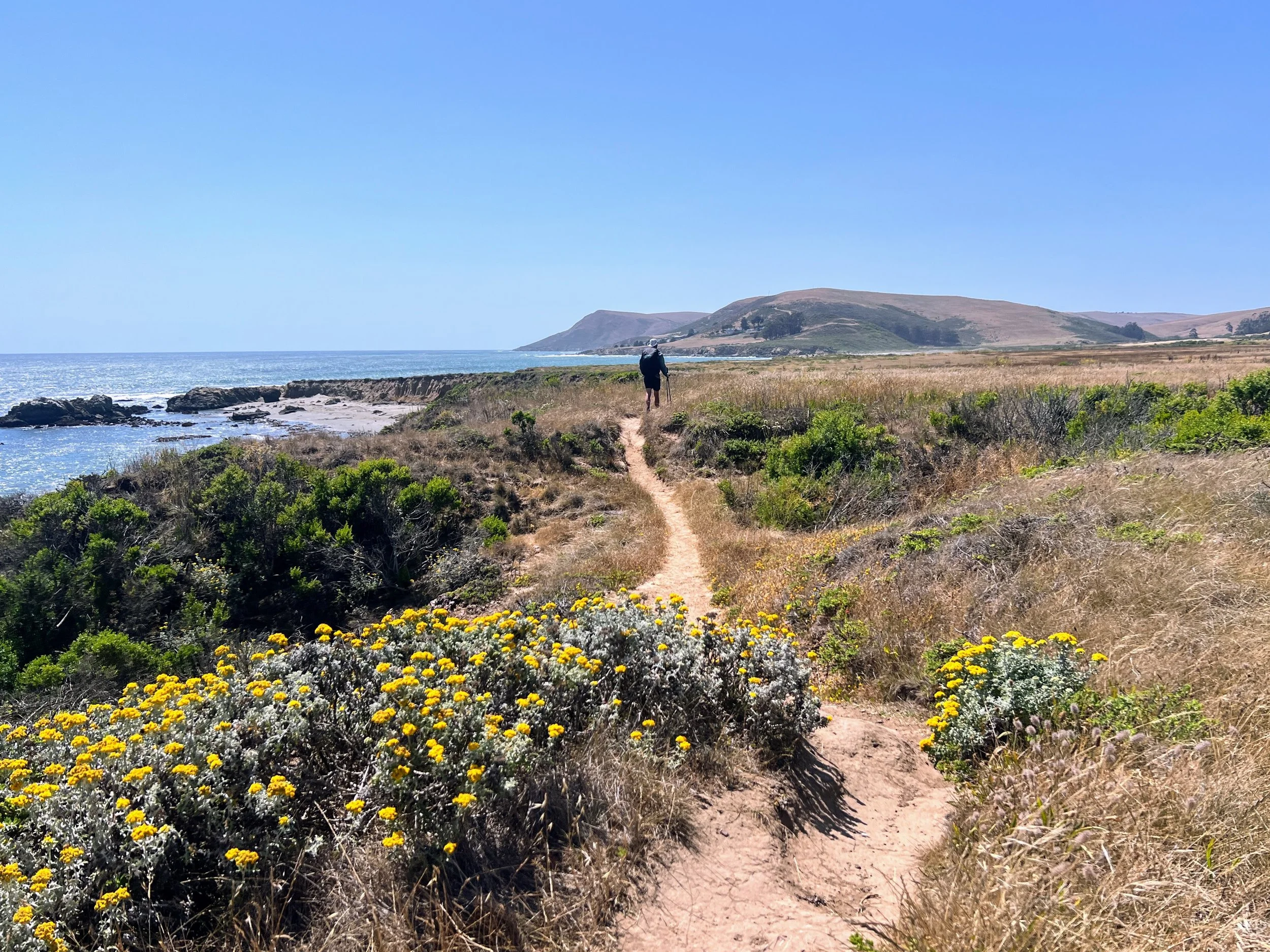
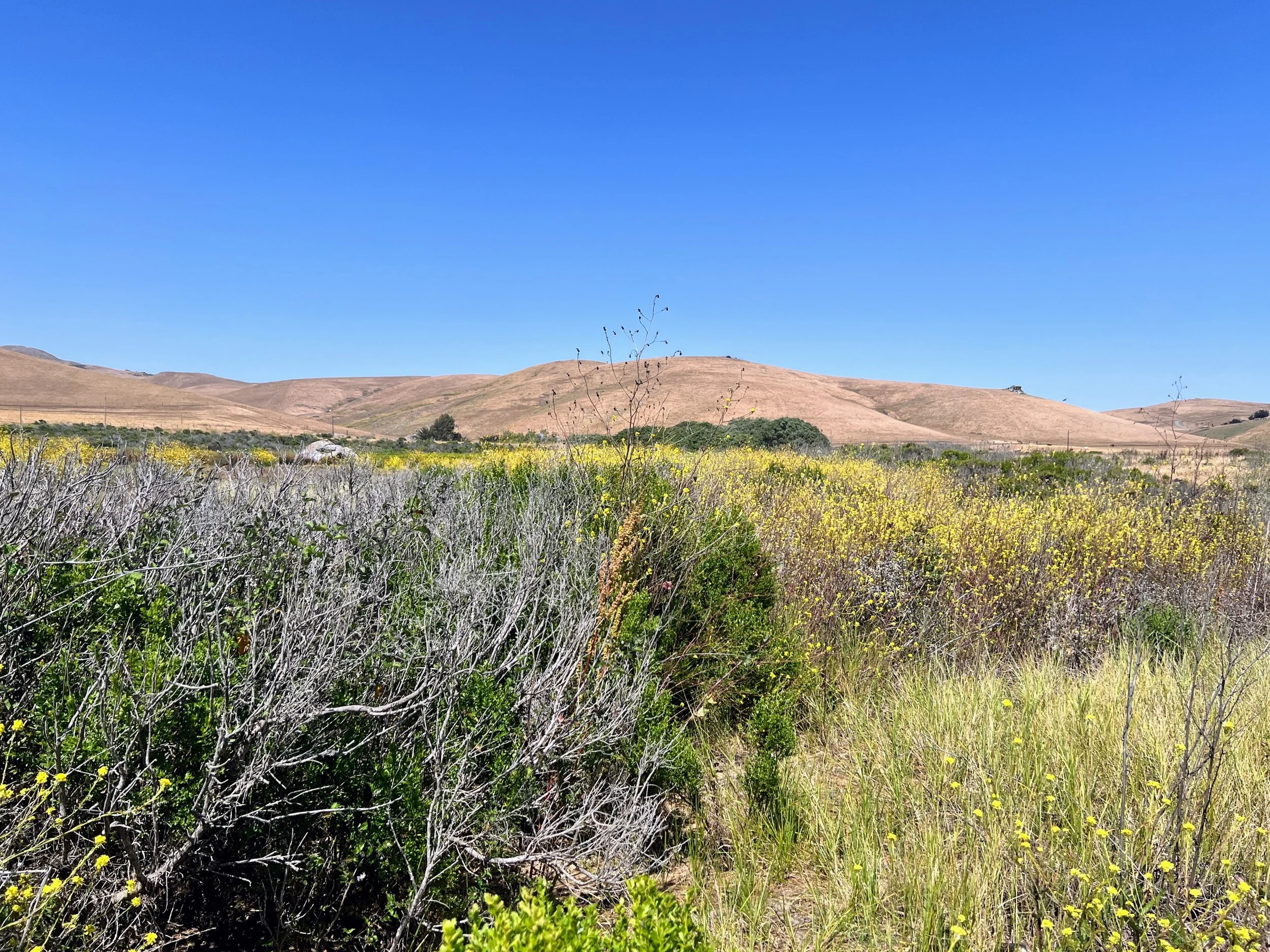
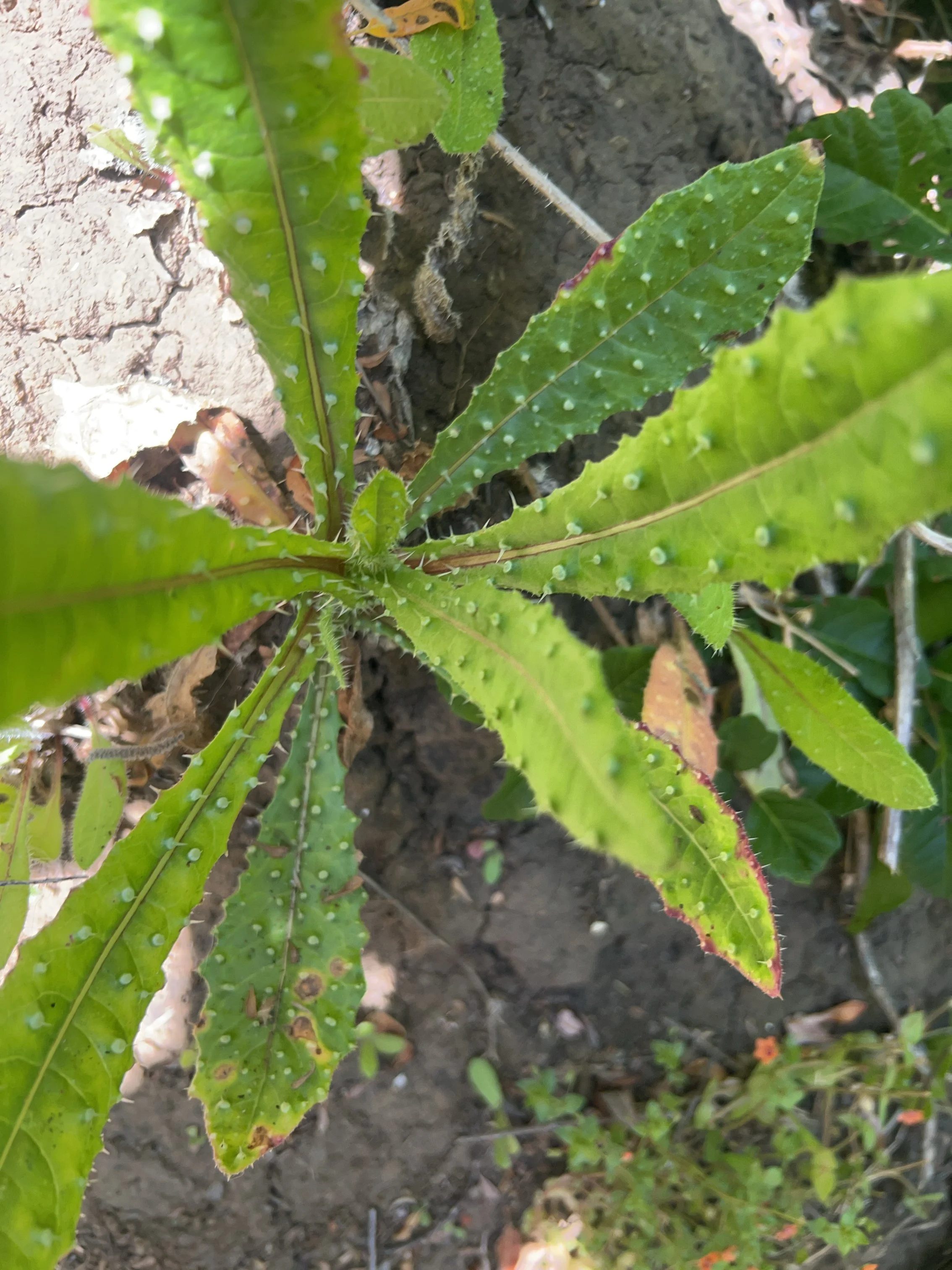
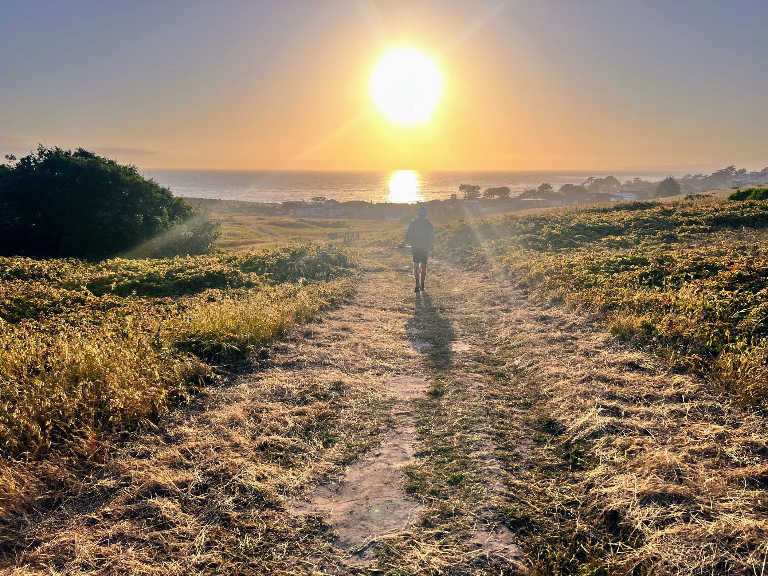
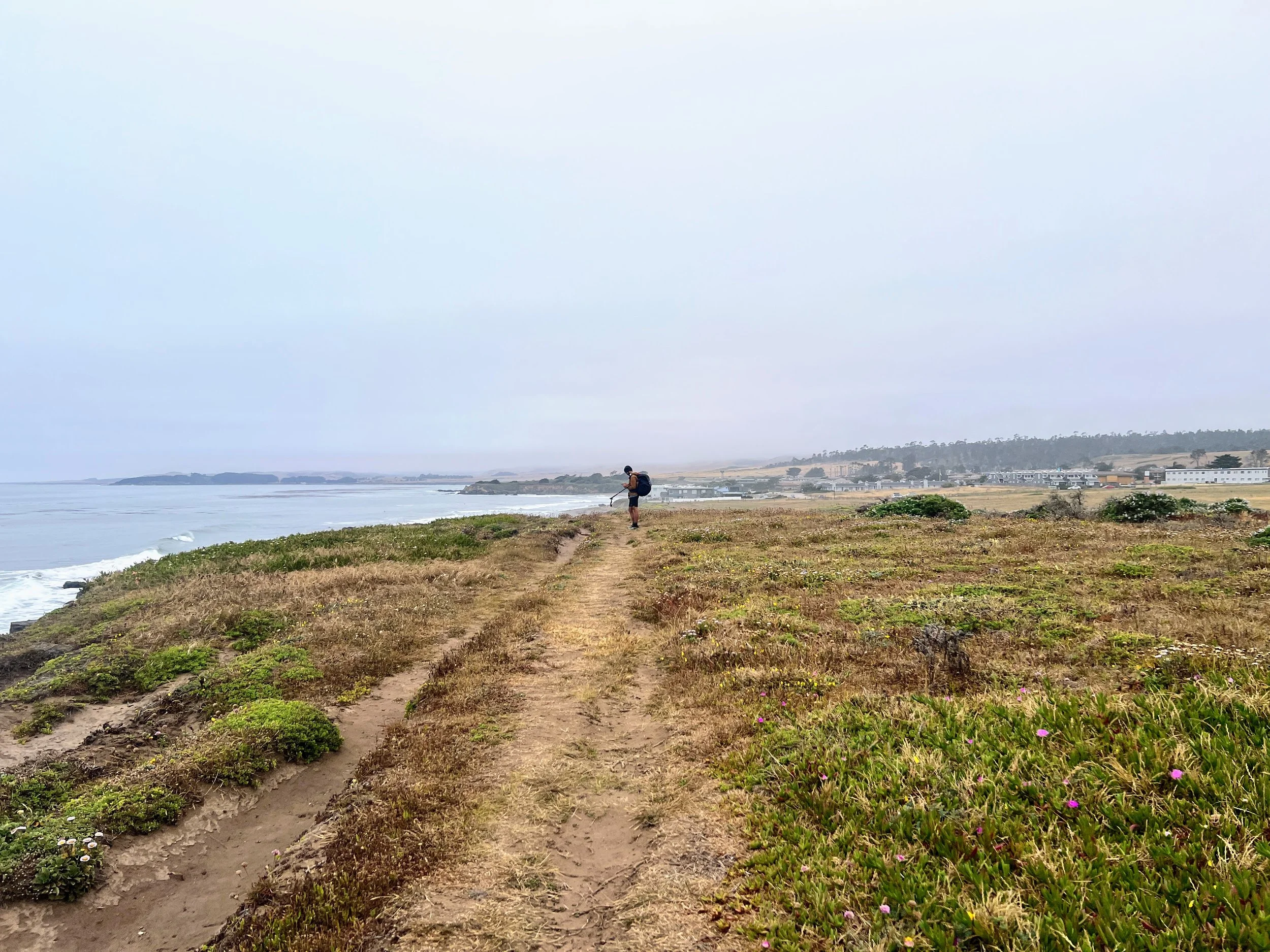
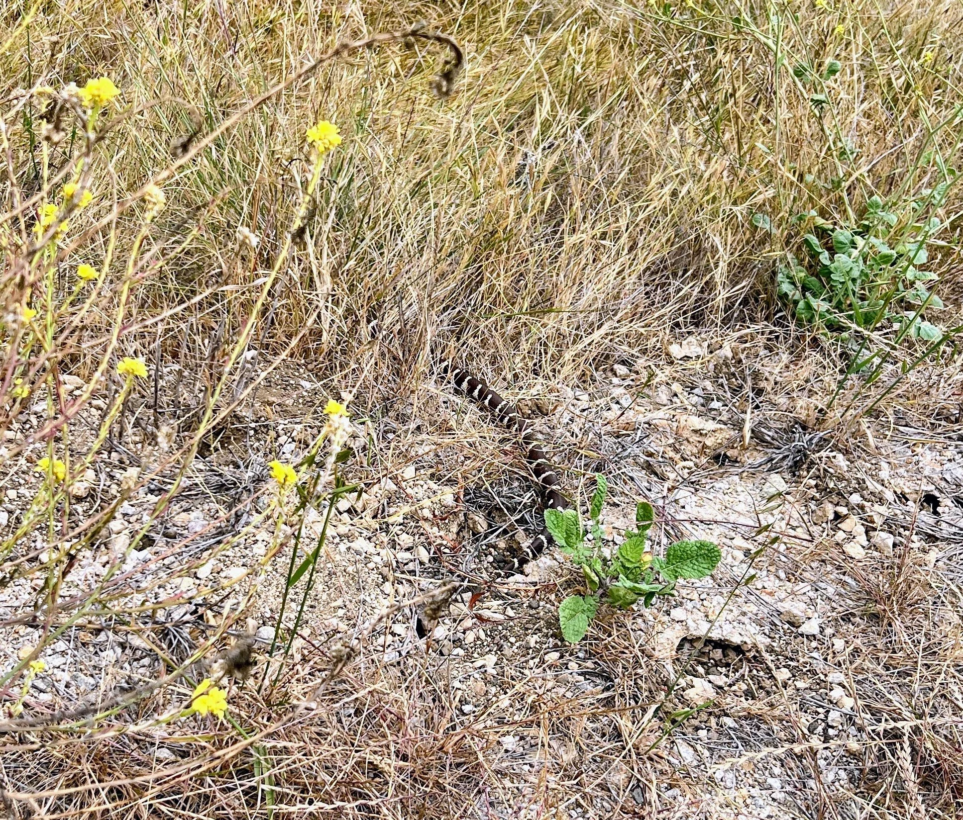
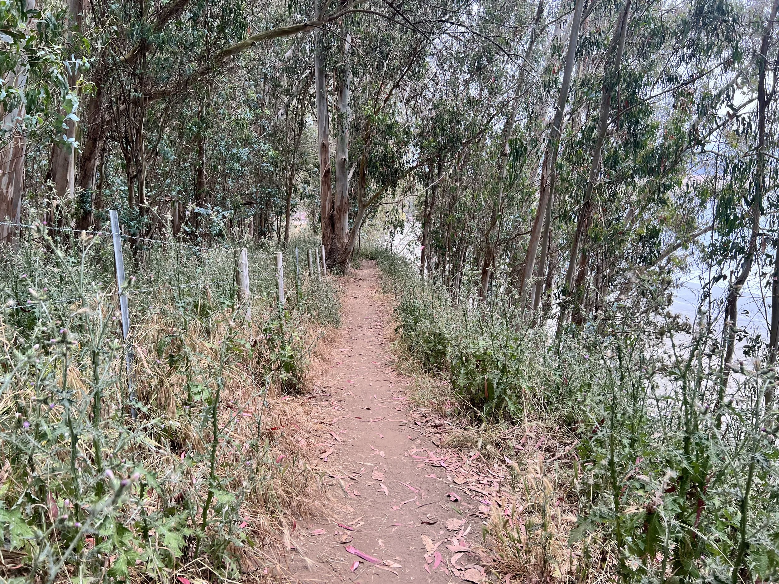
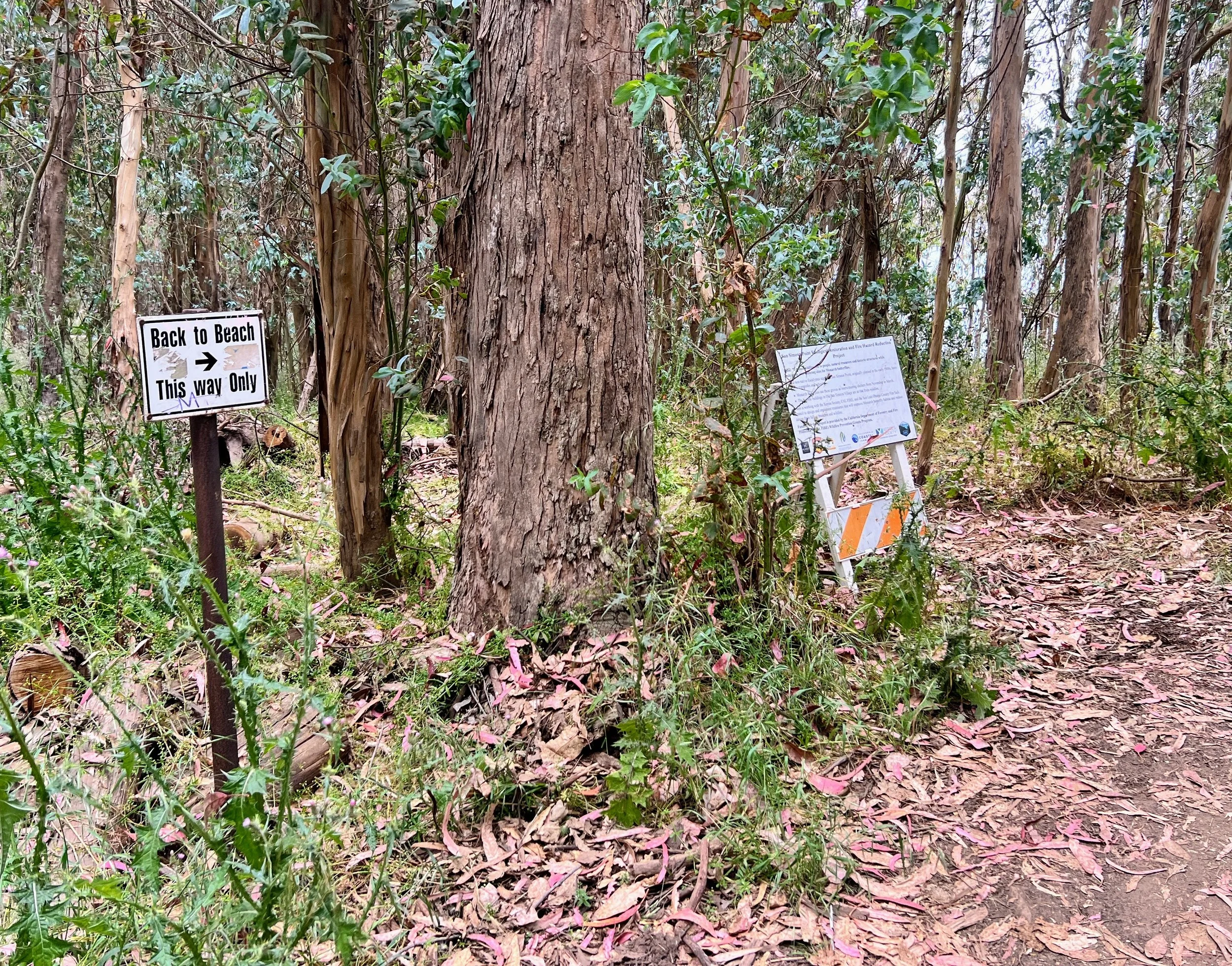
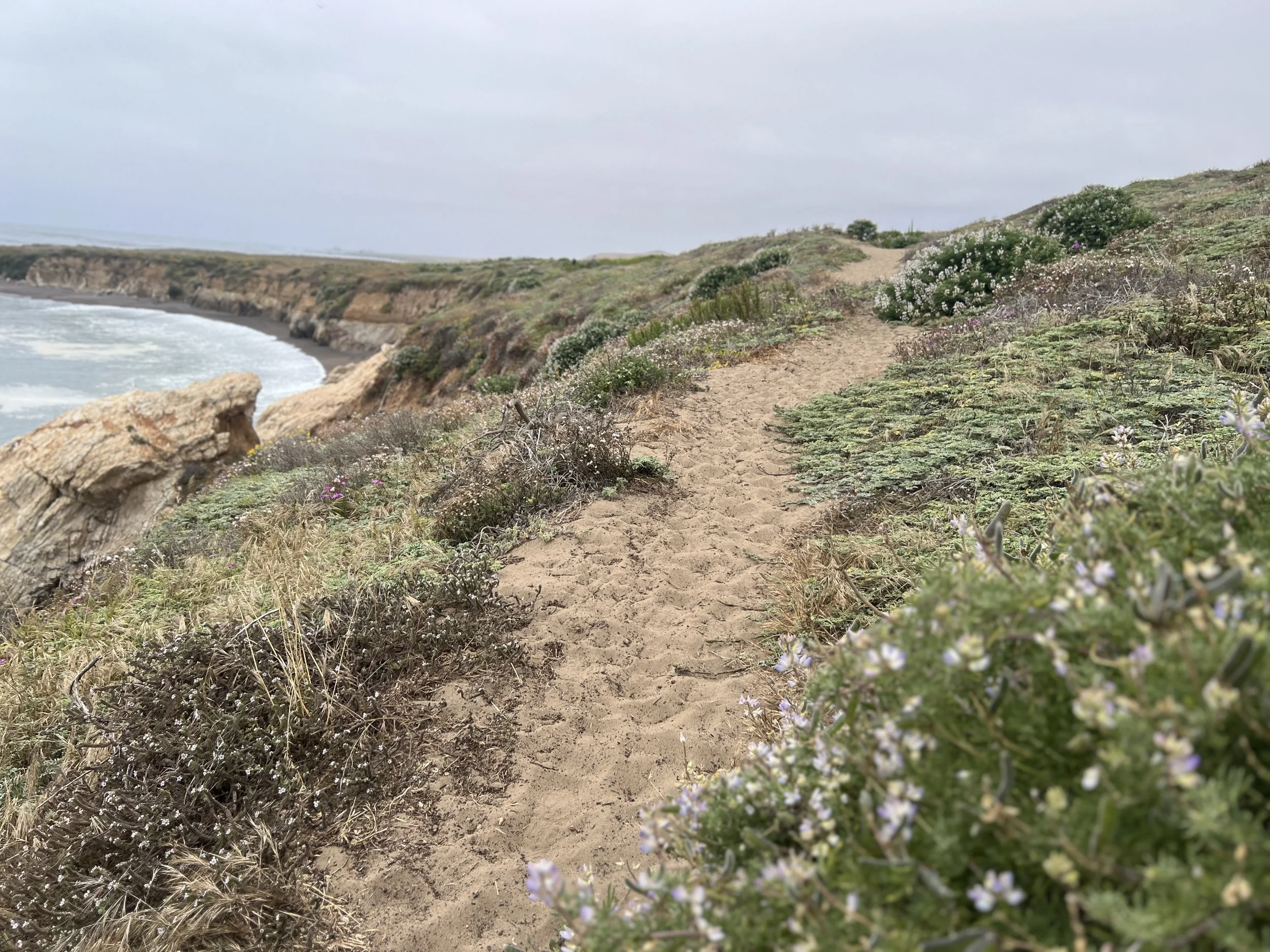
We enter Estero Bluffs State Beach. The trail hugs the bluffs, lined with coastal plants and, surprise, surprise, a few small patches of poison oak, the unofficial plant of the Condor Trail. It’s not much of an obstacle, just unexpected so close to the ocean.
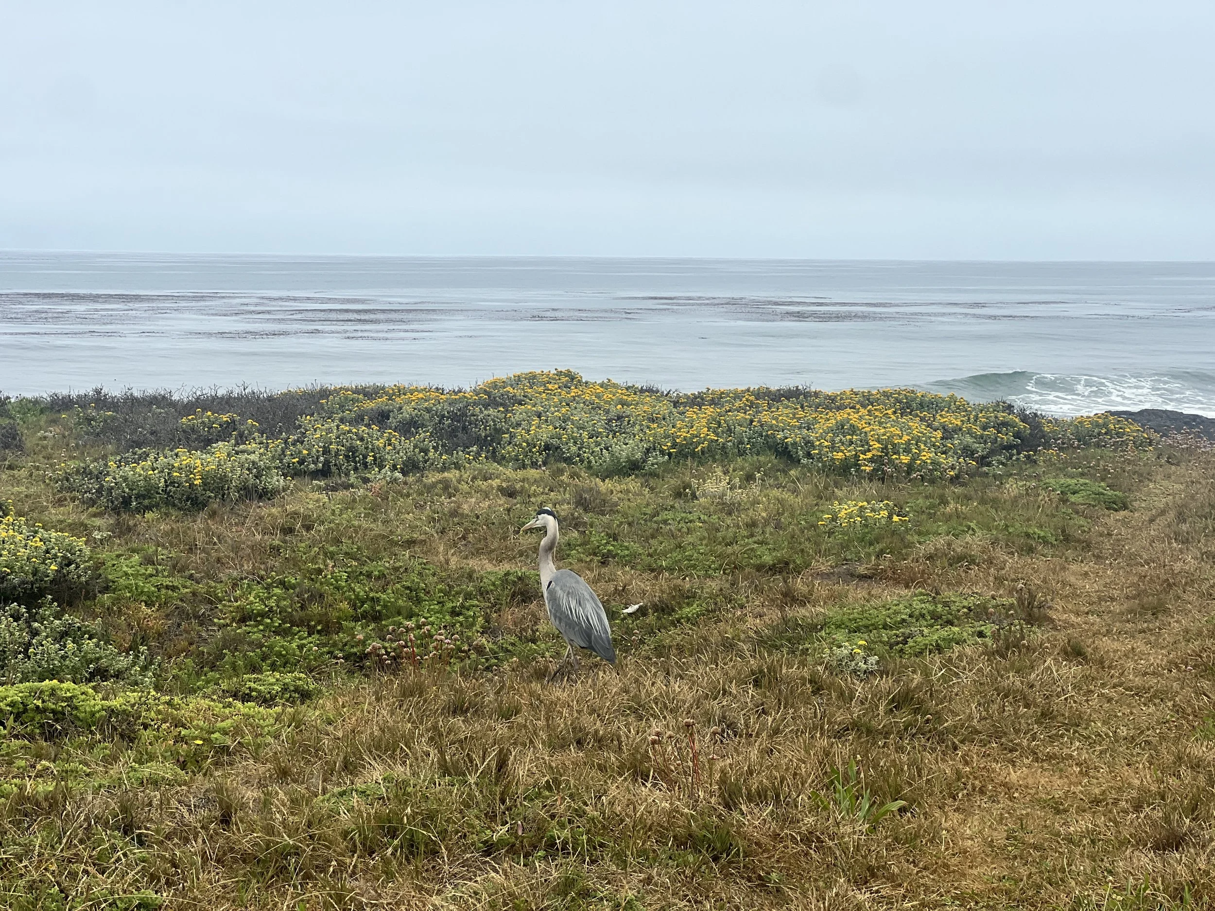
I haven’t spent much time on the Central Coast, despite living in California for over ten years, and I’ve never experienced it in the intimate way backpacking allows, moving slowly along the sand, pausing at tide pools, noticing the wind shaping the cliffs, the kelp shifting in the current, and the quiet pockets between small towns. I keep pulling out my monocular, scanning for whales or dolphins in the vast expanse of the sea, and I anticipate rounding a rocky cliff and spotting the return of the Orr Orrs.
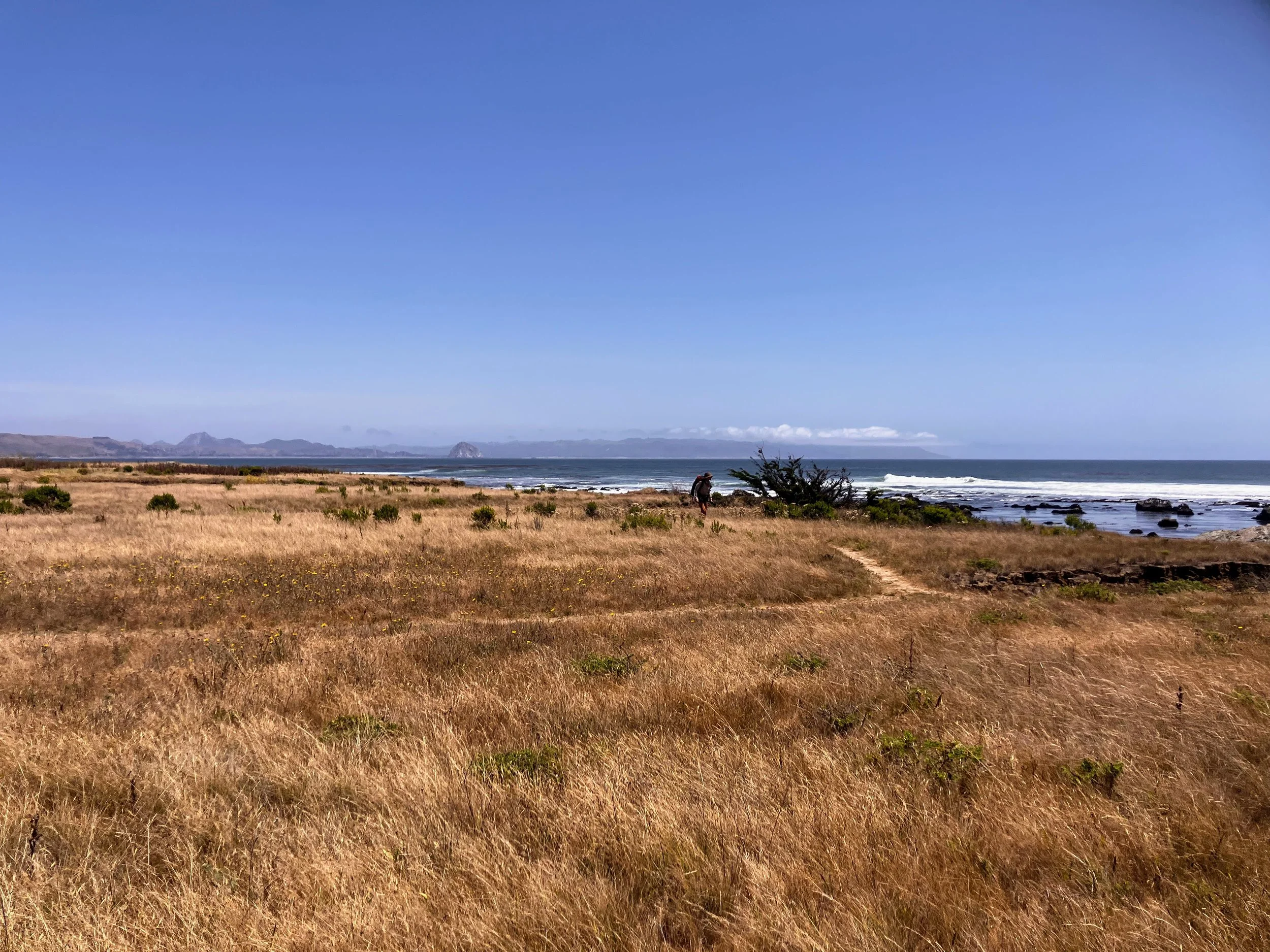

Farther up, we pass Harmony Beach and sections roped off to protect snowy plover nesting areas.
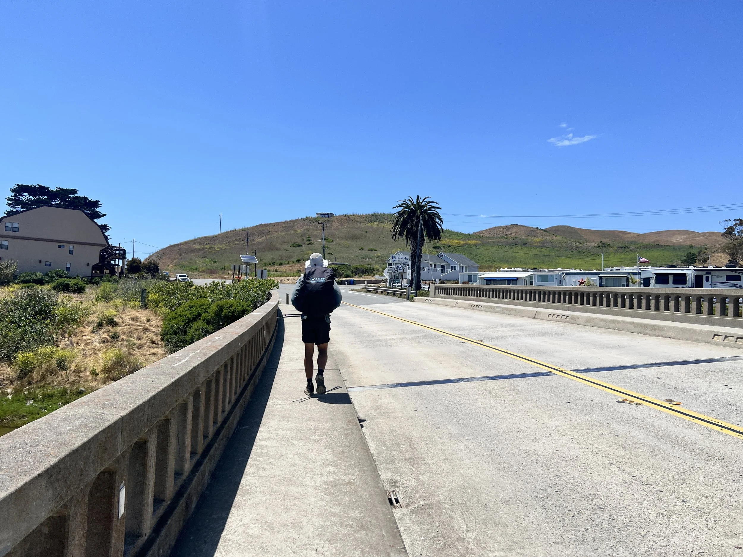
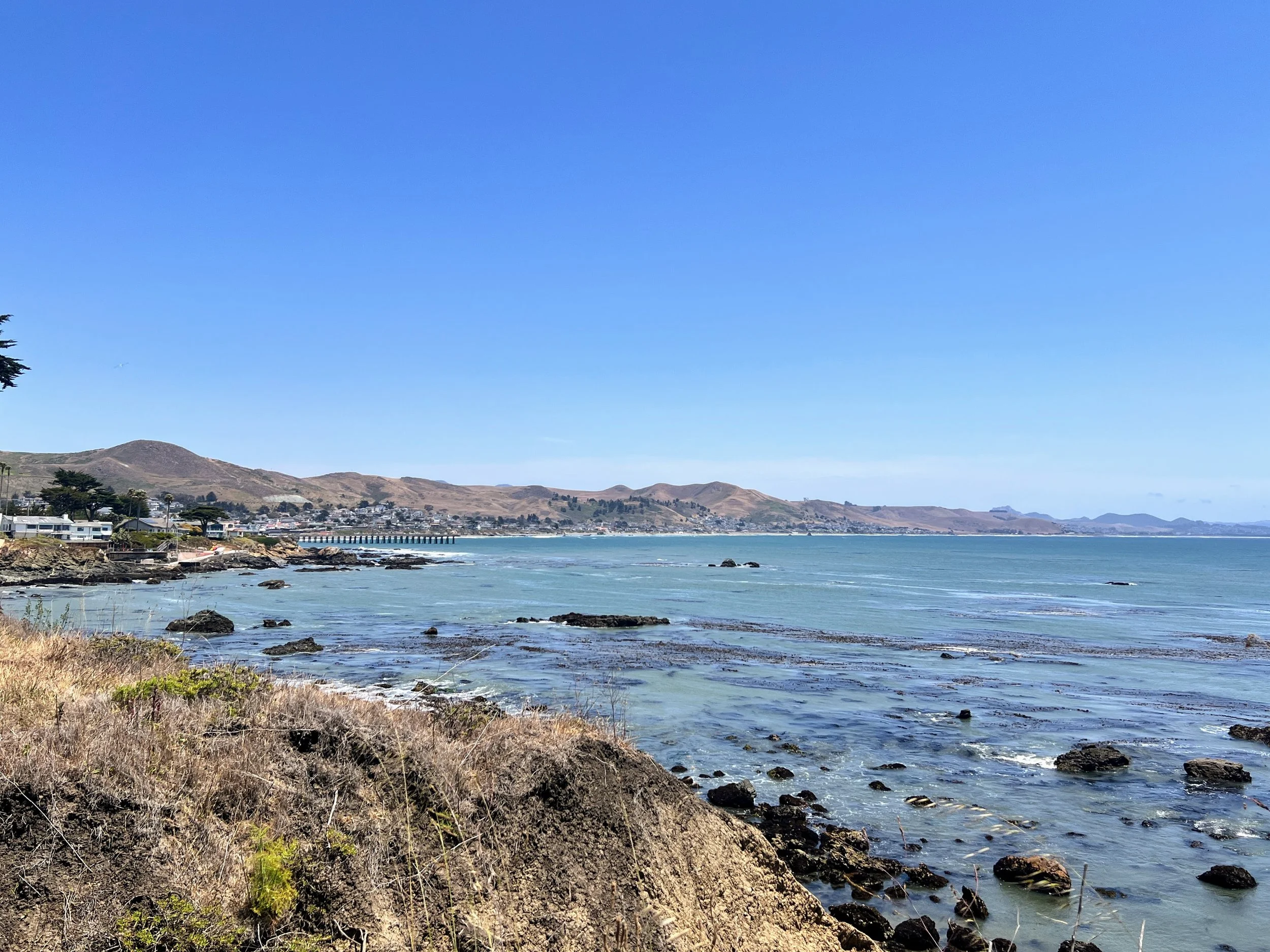
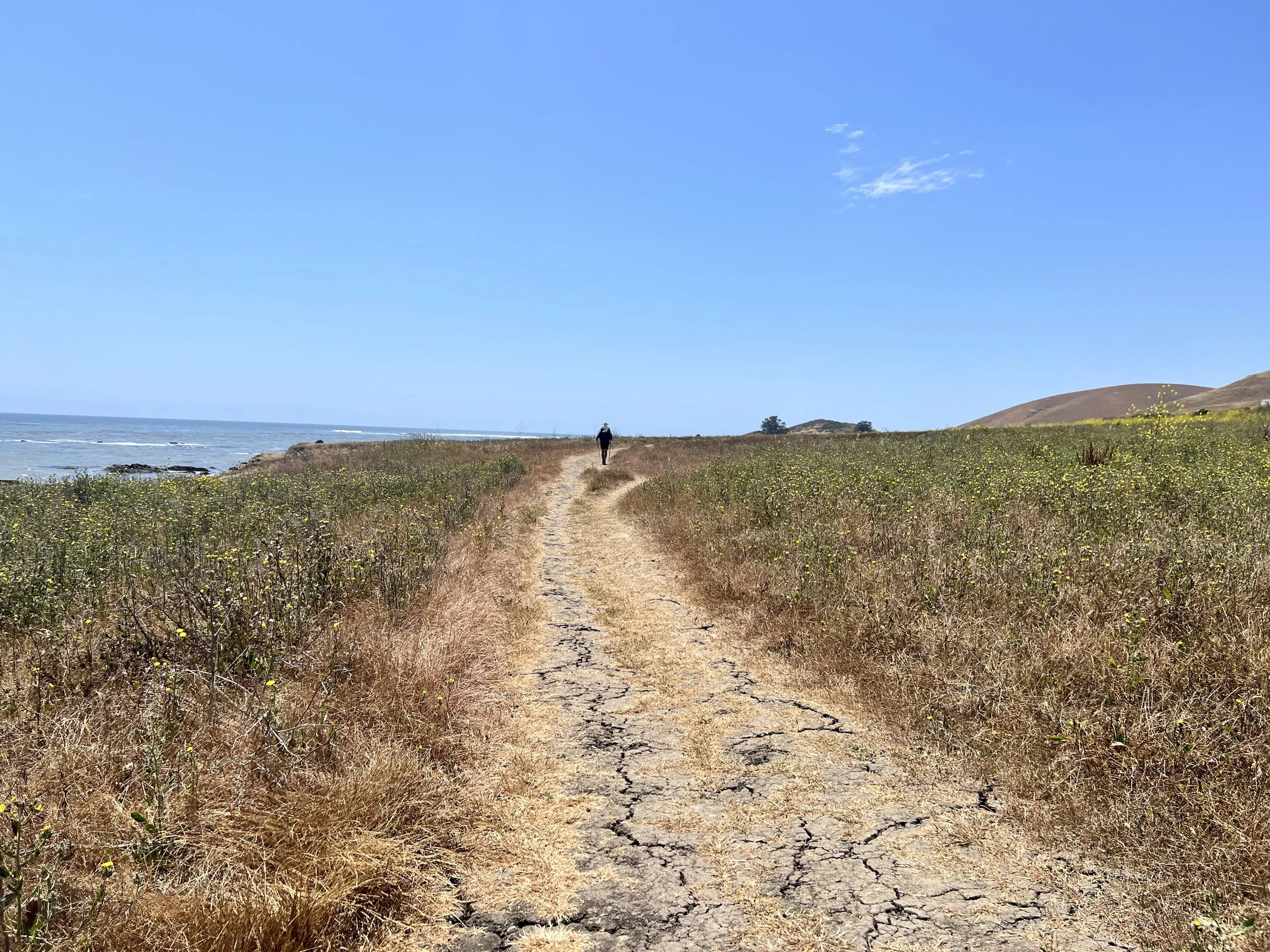
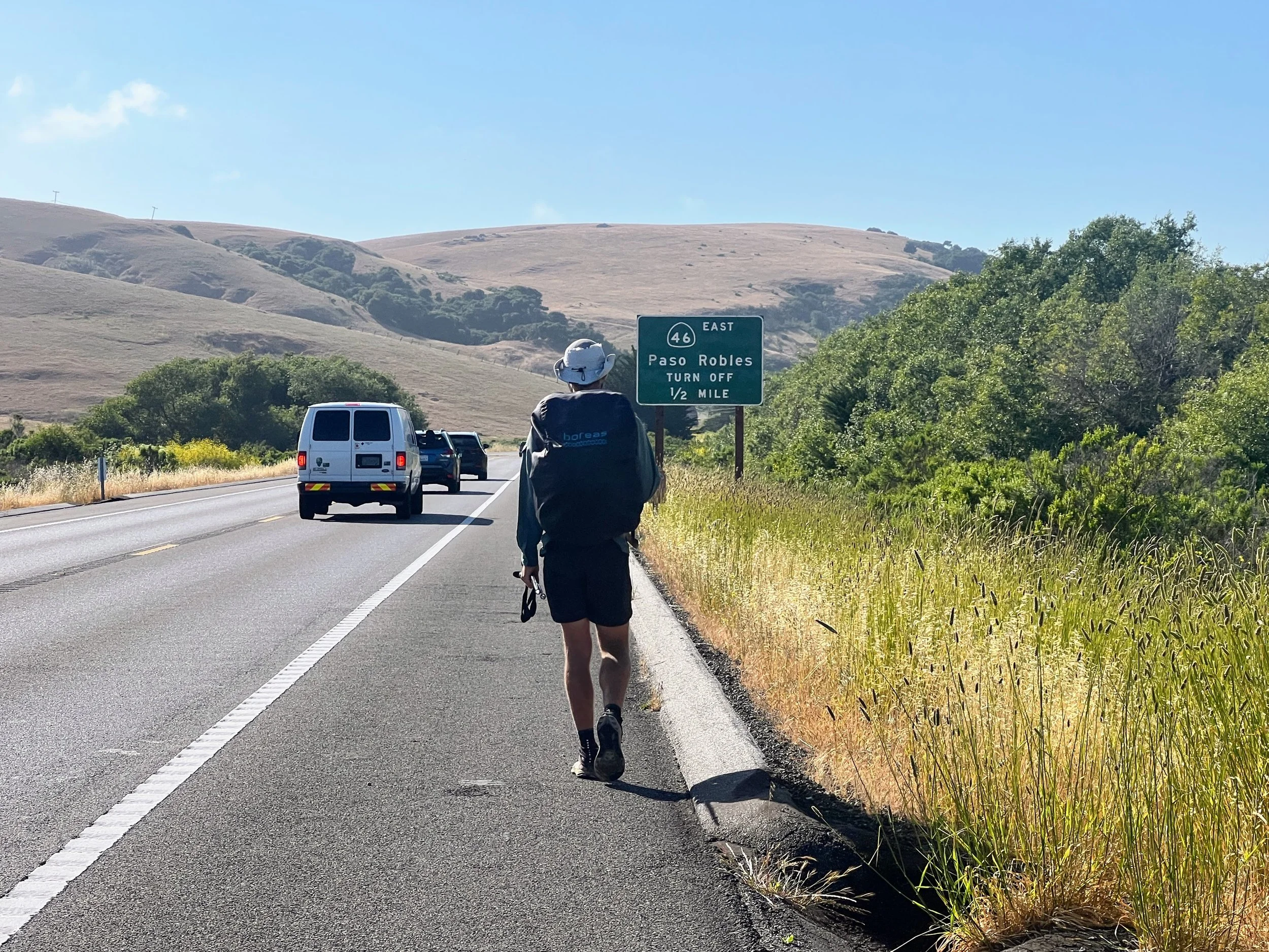
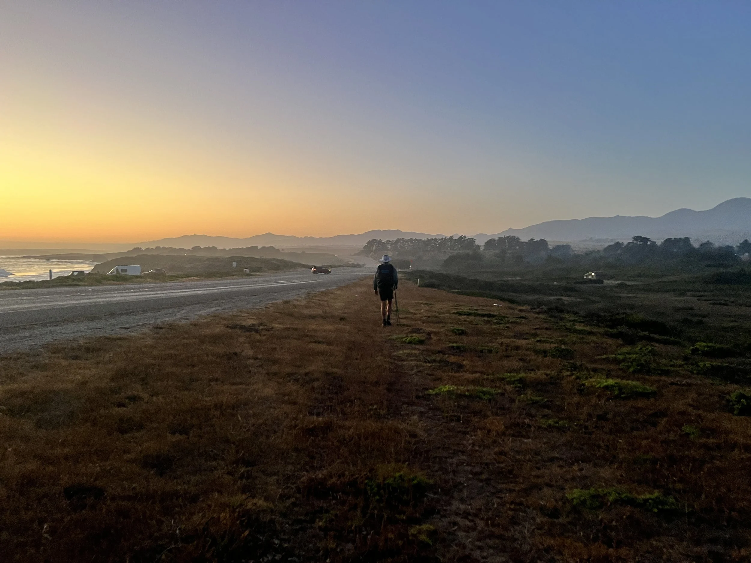
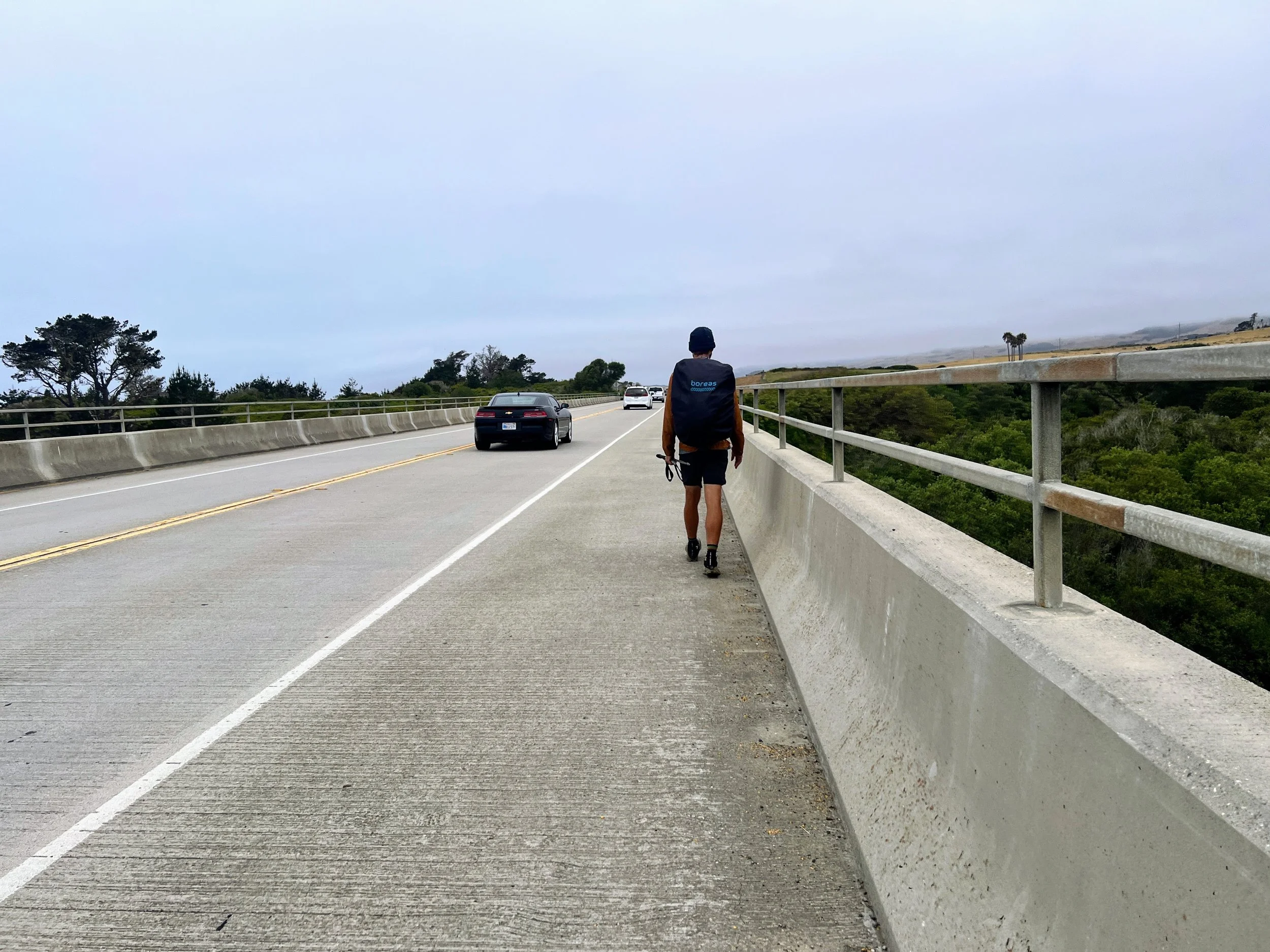
Just before Headlands State Park, where Ellysley Creek and Villa Creek meet the ocean, we turn north to meet Highway 1. The contrast from the quiet beach is jarring. We stick to the narrow shoulder and hike the next four miles while cars roar past at high speeds, not the chillest vibe. We reach a traffic light and turn into a residential area. The route winds through quiet streets with a charming, almost rural feel, with a mix of coastal scenery and forested areas. At Fiscalini Ranch Preserve, the trail slips back into the woods and then opens out to the ocean again.
It’s 7:30 PM. The day passes quickly, but for the first time in a while, it actually feels like we’ve had a full day of hiking. Magic hour is upon us, and we have to strategize our camping, something to keep in mind throughout this section.
We can’t just set up anywhere. Distant but visible houses and nearby private property make me feel exposed, and there’s no official wilderness or dense forest for stealth camping. Residential areas, state parks, beaches, and small towns aren’t exactly accommodating for anyone hoping to sleep outside for free. With little cover along the open shoreline, stealth camping is tricky. A little extra planning helps avoid late nights, unexpected miles, and hiking along the highway in the dark.
The sun will officially start to set in an hour, and we’re about four miles from San Simeon Campground. With no great options for camping, we decide to push on, walking quickly on the Moonstone Beach Boardwalk, tourists moseying along and leaning against hotel balconies to watch an amazing ocean sunset.

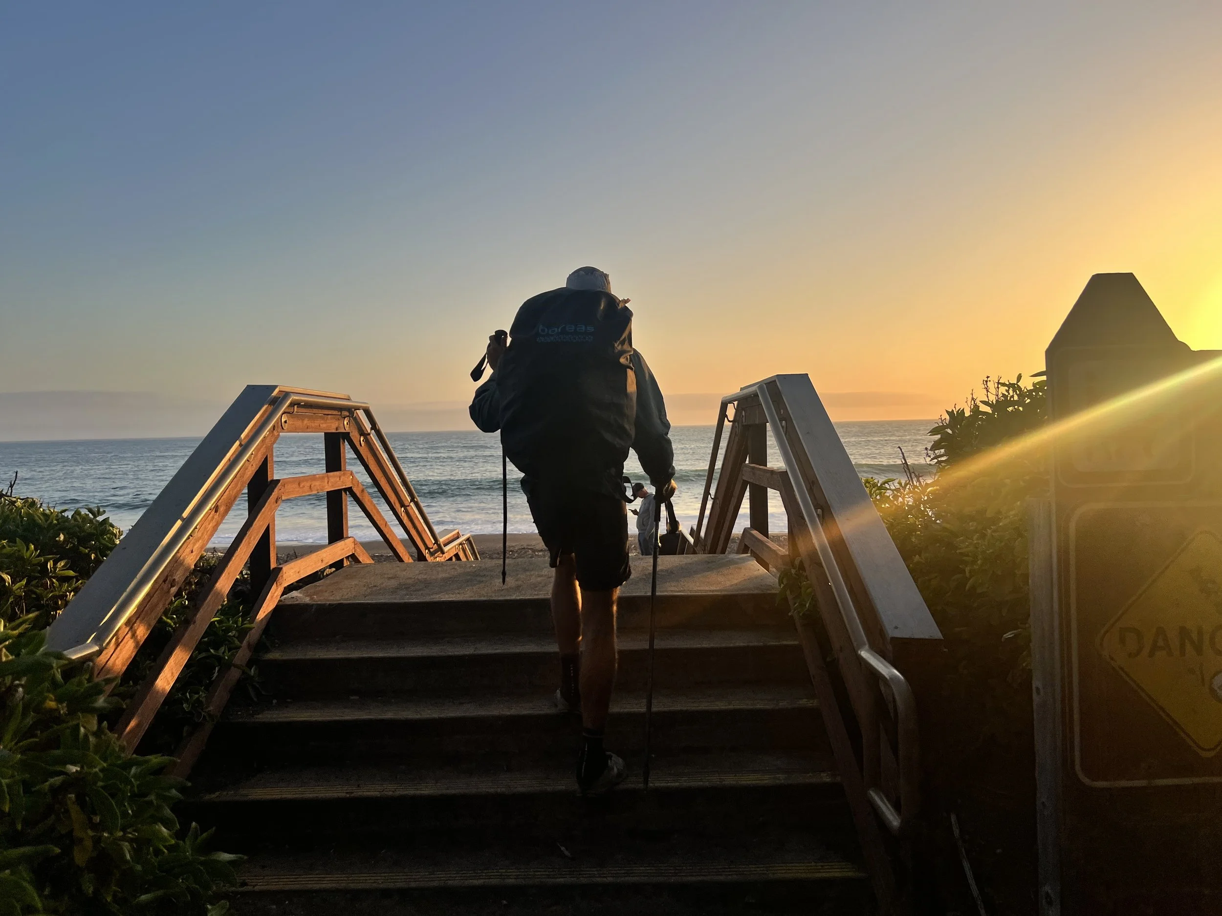
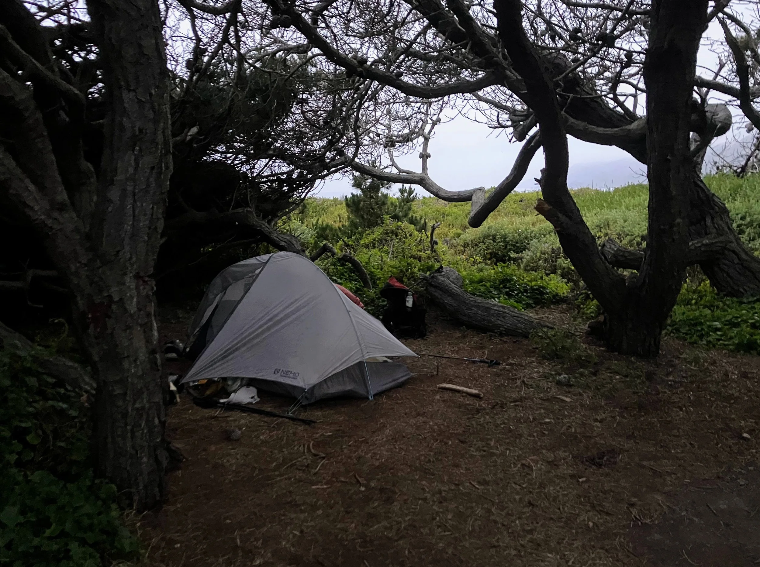
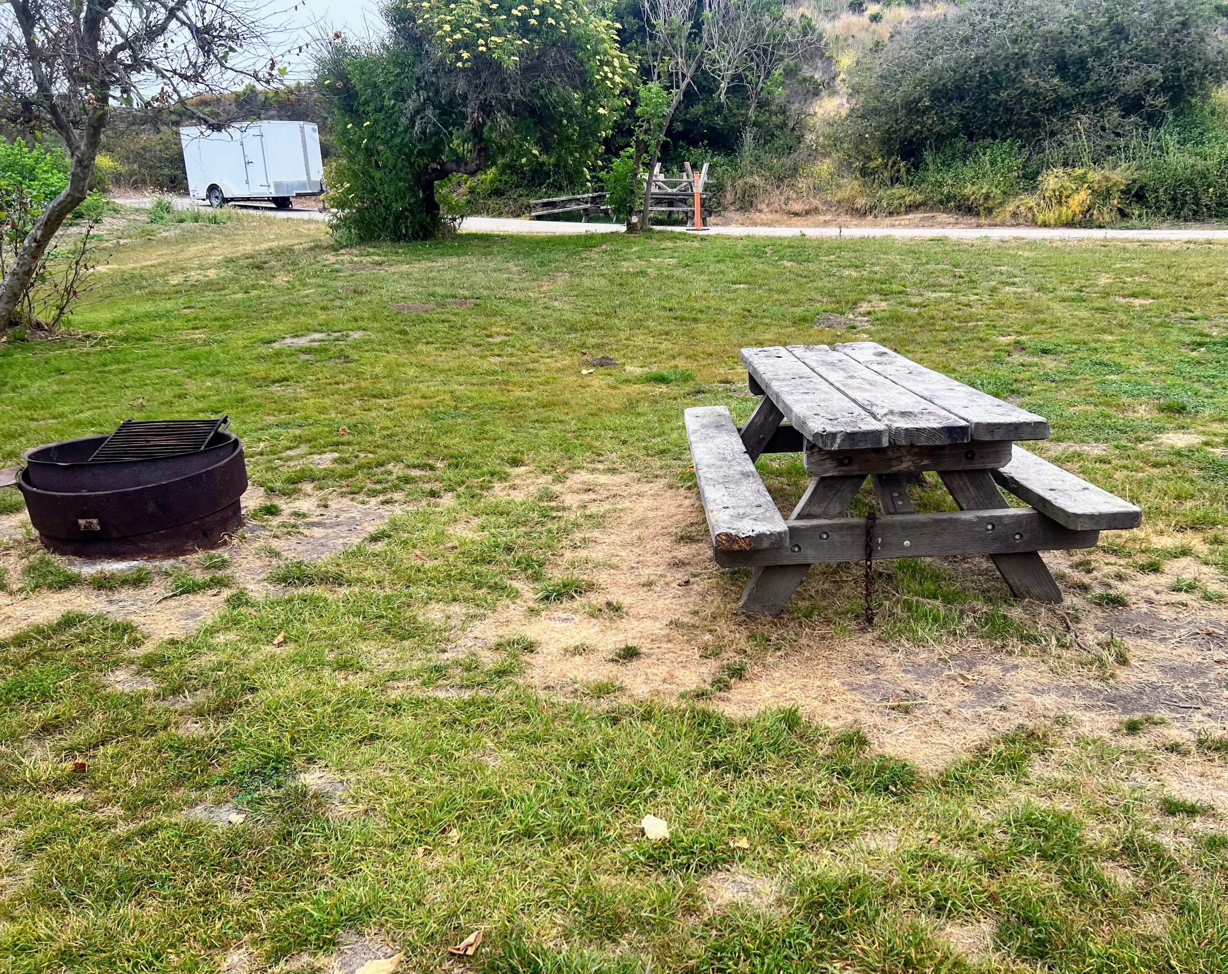
We end the day at the San Simeon Creek Campground, grateful for the hike-and-bike site. The campground lies just below the highway on the east side of the road, not by the beach. It’s dark as we descend a steep, slick slope, though we could have walked a little further up and entered via the road, to reach the grassy hike-and-bike sites.

The campground is moderately populated, most people tucked back in the car camping spots. The area reserved for hikers and cyclists is quiet, with only one other tent set up. We’ve hiked 26 miles today, our longest day on the Condor Trail, and I feel a satisfying exhaustion.
Day 21 | June 4, 2025
Cosmo and I sit at the picnic table, packing up in a foggy morning. Across the grassy area, a lone hiker lingers at another hike-and-bike site. We’re the only ones using the large grassy area reserved for travelers on foot, no cars allowed. I watch the man at his campsite, coffee in hand, and I wonder what kind of adventure he’s on.
I finish strapping on my pack, look up, and he’s at our table (what timing, just as we’re finally ready to leave).
“Good morning!” he says. “I’m Declan.”
Even though we’re eager to get going, we ease into conversation, polite and attentive. We talk about what we’re each doing on our respective trails, gear, resupply, and other logistics. It’s interesting to hear how someone else approaches a long-distance hike.
Declan is from Arizona and hiking the California Coastal Trail north from Los Angeles to Oregon, a 1,200-mile route still in development. He moves at a slower pace than we do, seemingly not as concerned with making big miles, enjoying spending extra time in towns. He talks about his interest in Eastern philosophy and mindfulness, and his journey more as a form of walking meditation. Like the Condor Trail, the California Coastal Trail is not completed and not very well known. Since Declan’s route stays along the coast in more populated areas than most of the Condor Trail, he encounters people, some day hikers, and he mentions having crossed paths with a few long-distance bike packers, but no other thru-hikers. I wonder if he’s lonely.
We wish him luck and continue on our way.
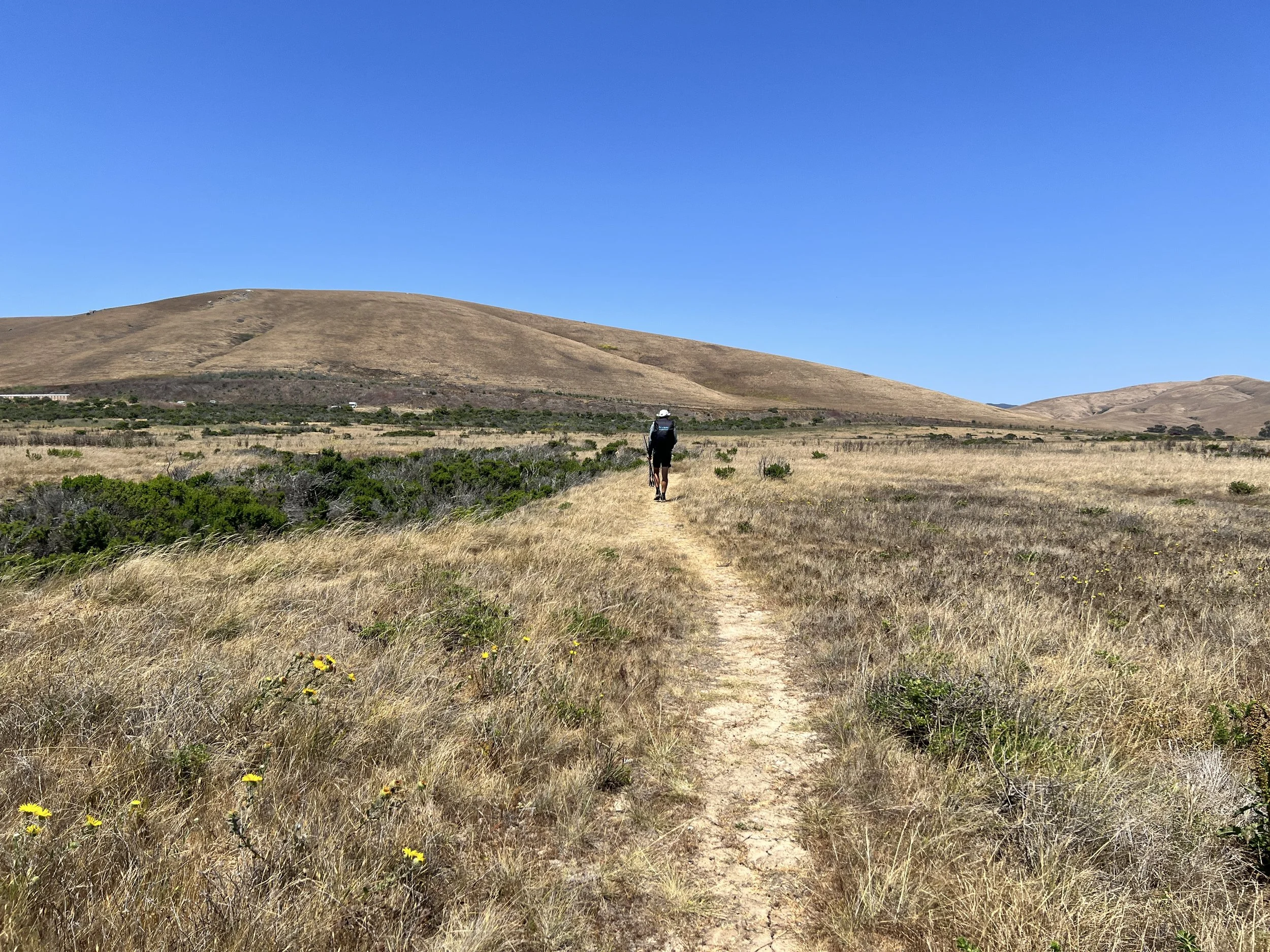
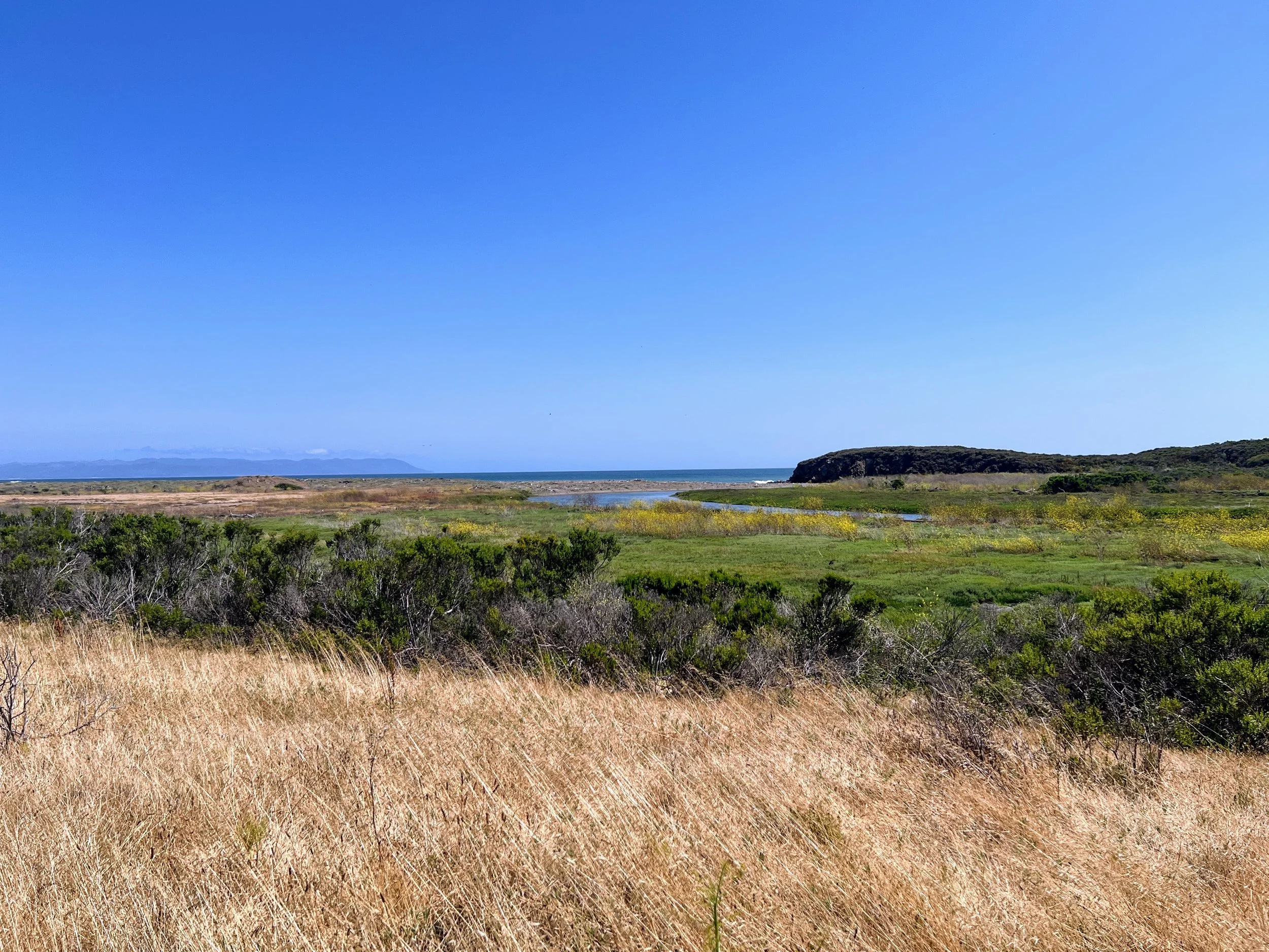
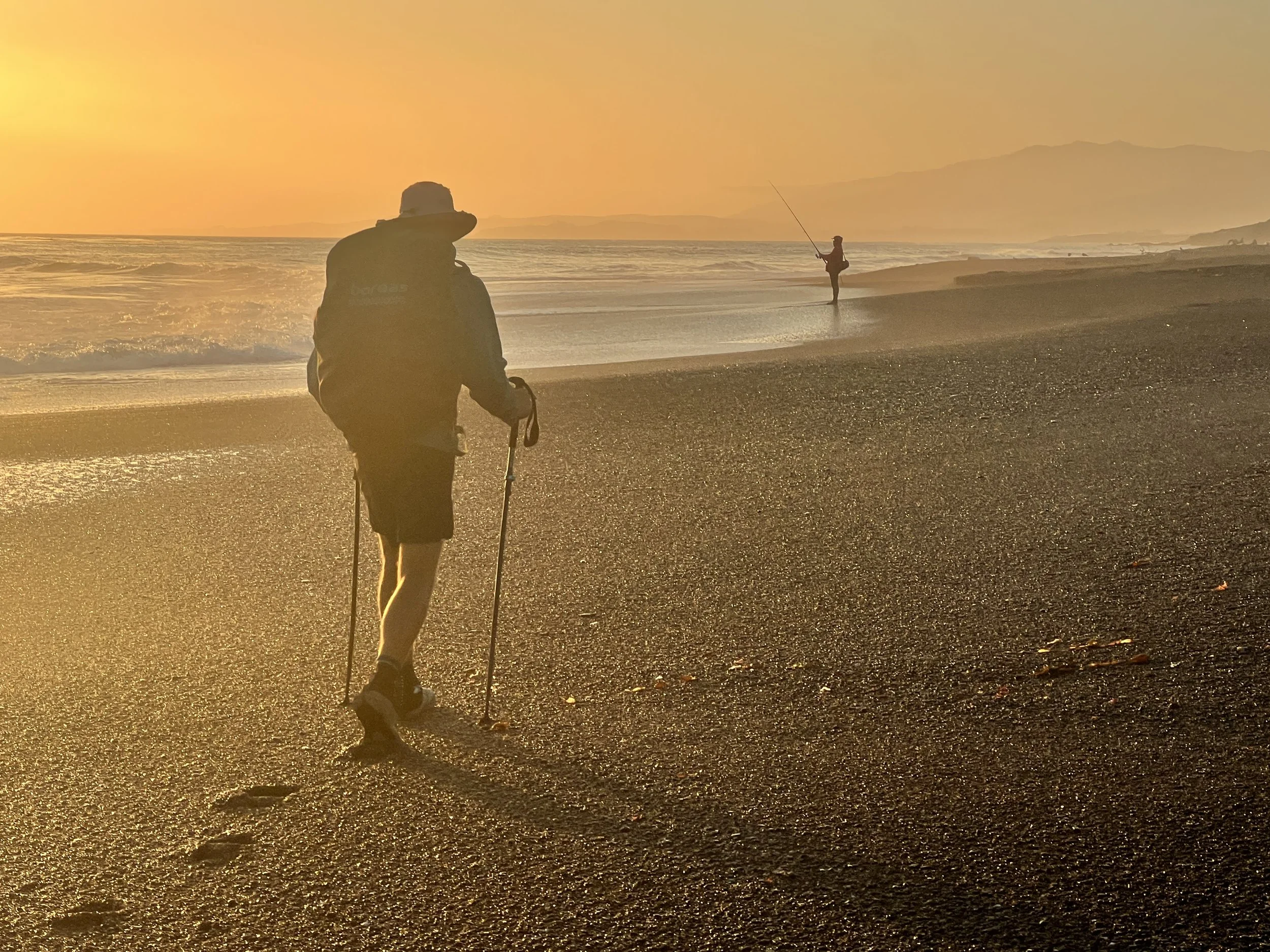
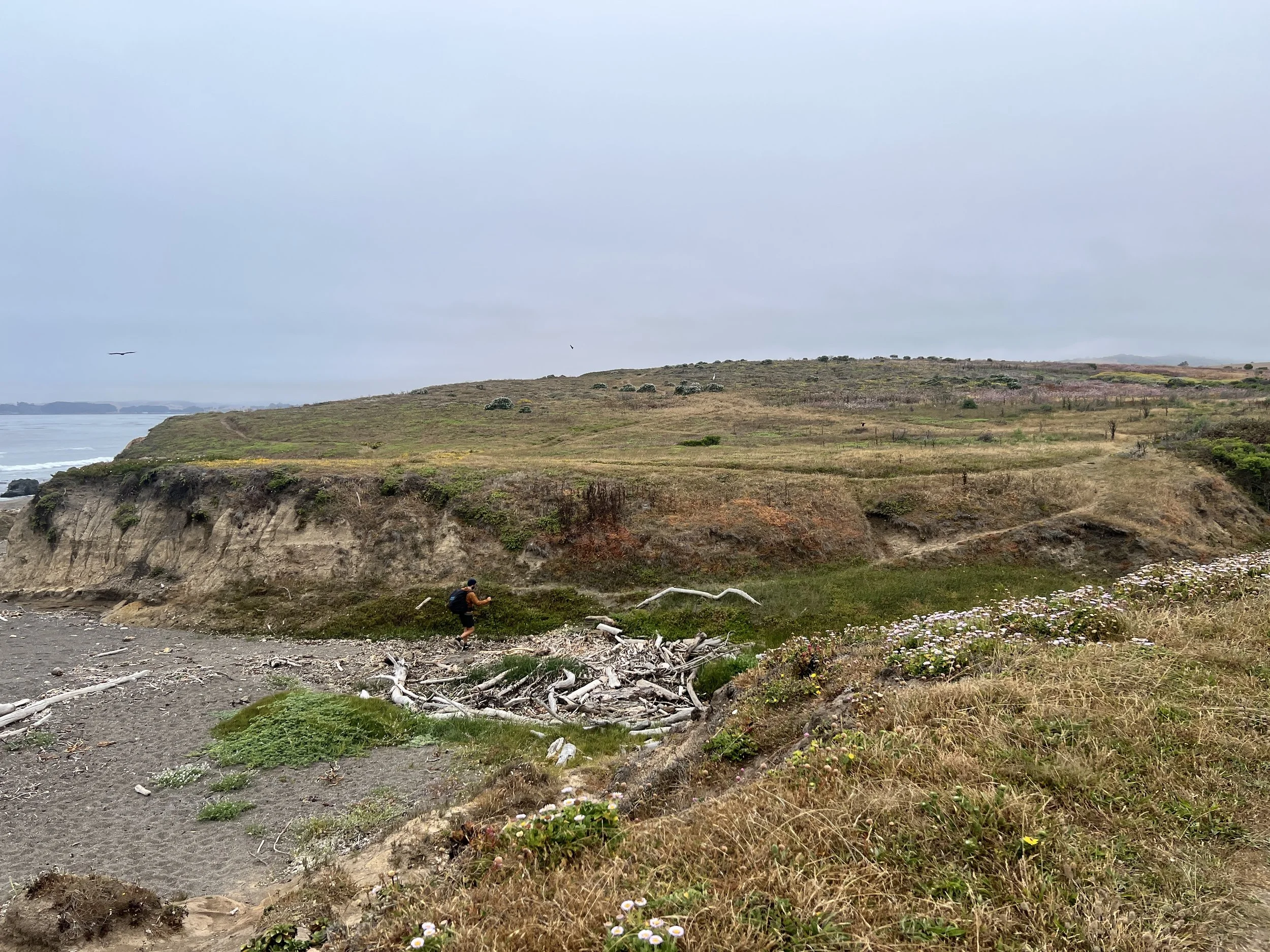
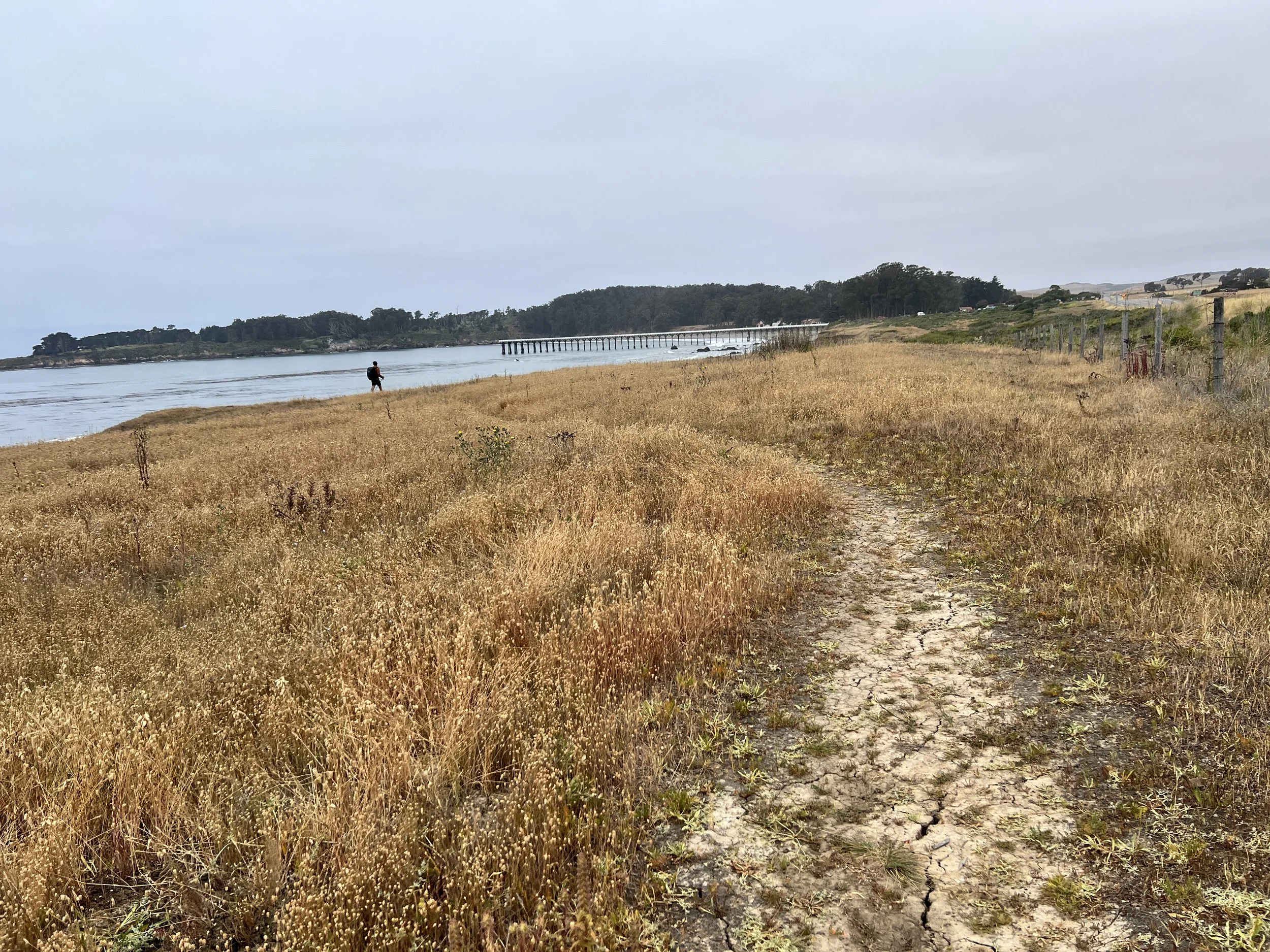
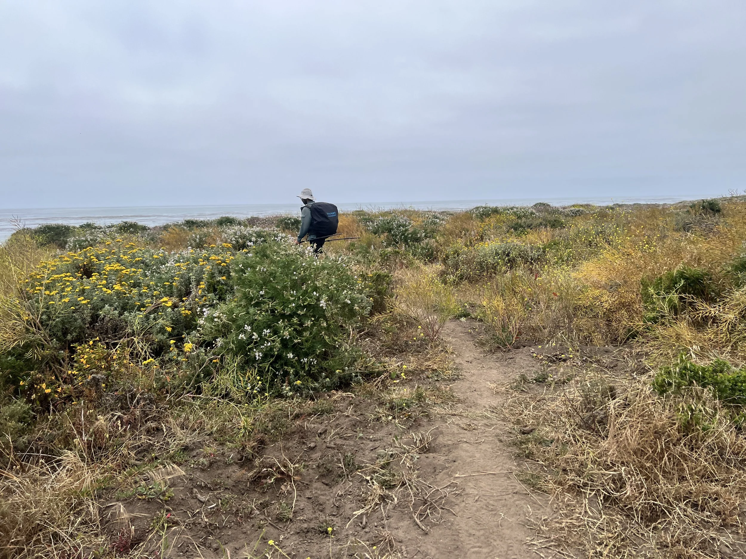
The route takes us northwest along beaches and bluffs. We’re in the Hearst San Simeon State Park area, walking along the sand as the tide rolls in. A set of stairs leads us up, only to spit us out on private property. A dog rushes out barking, so we retreat back down to the beach. Bad vibes.
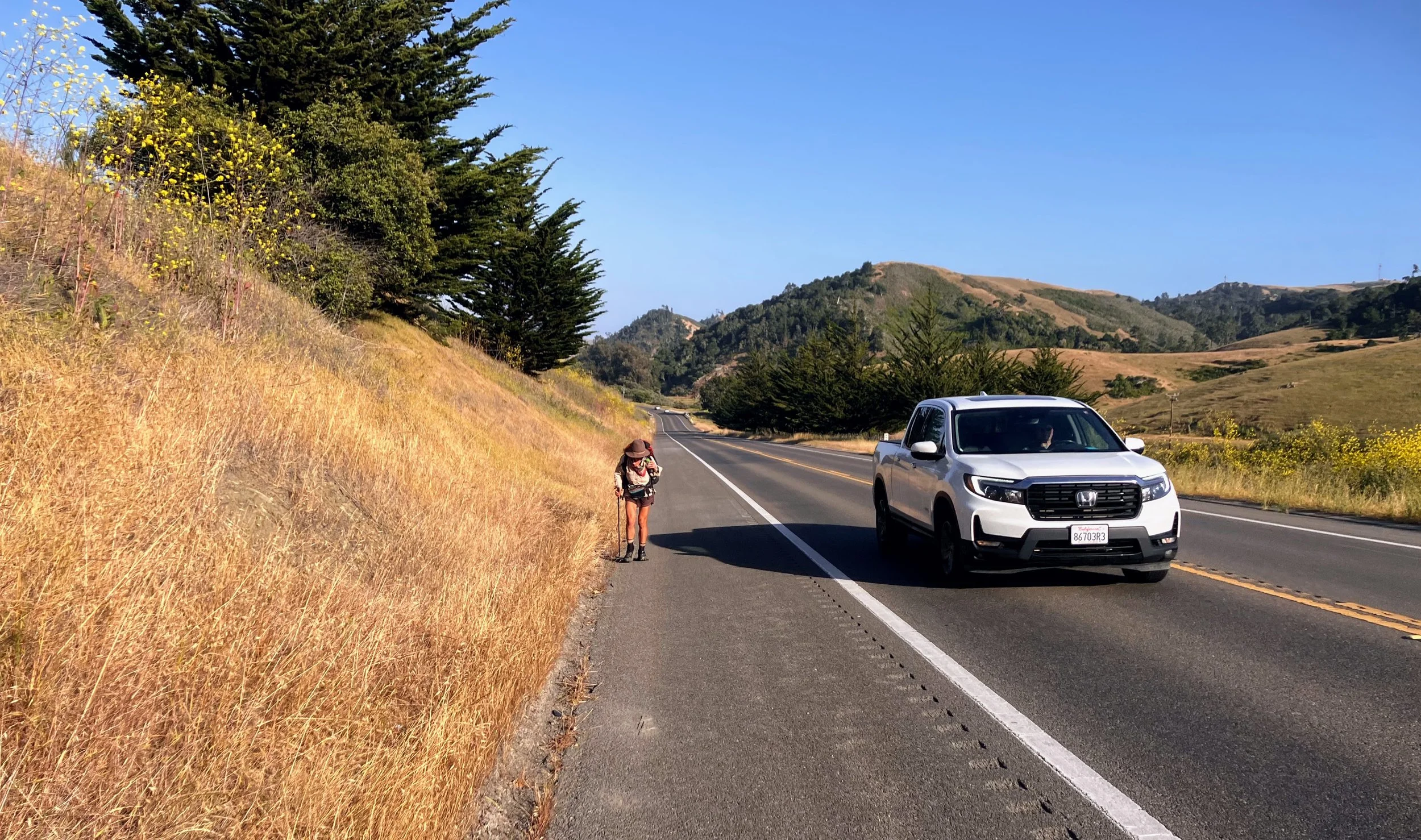
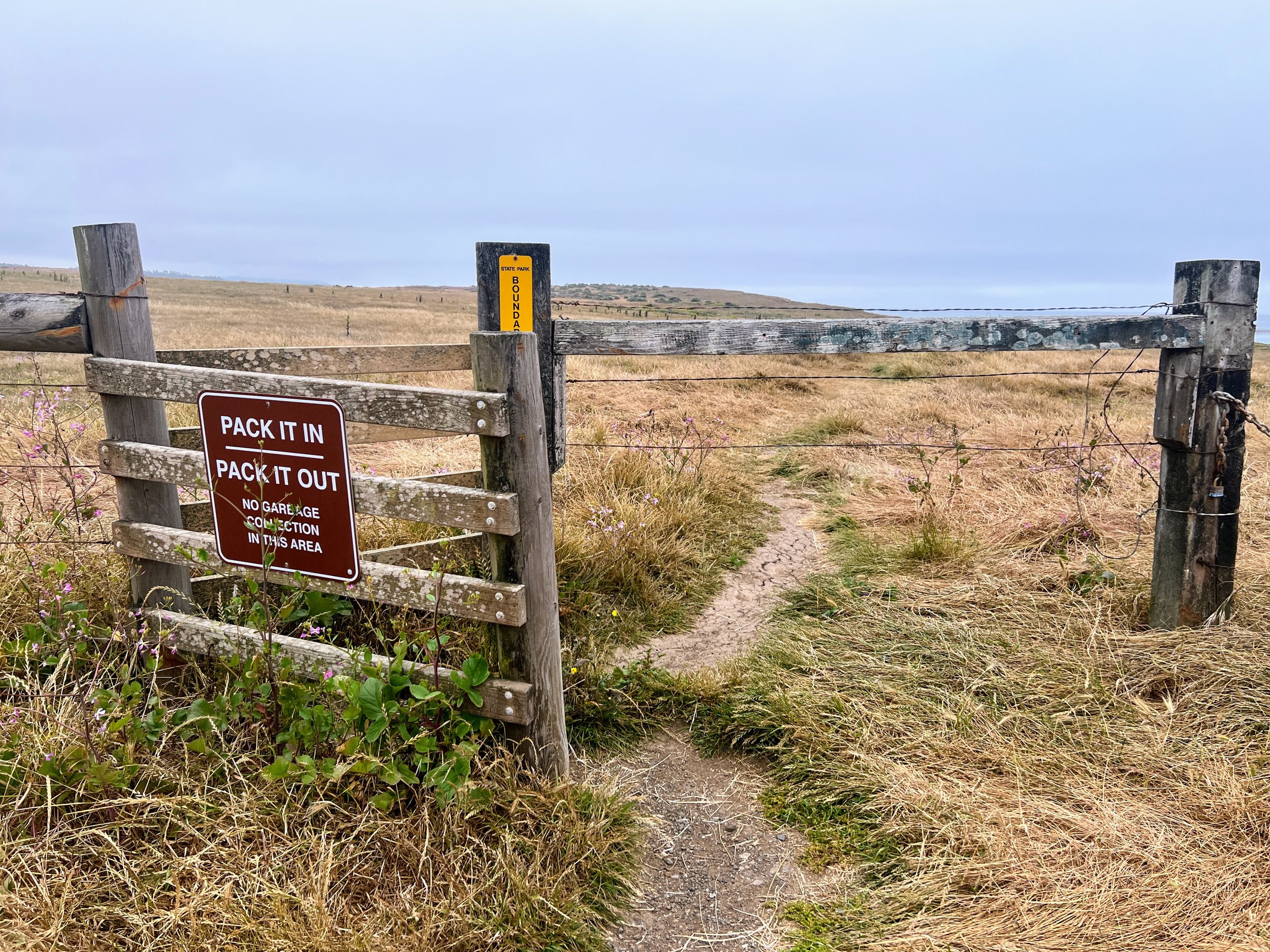
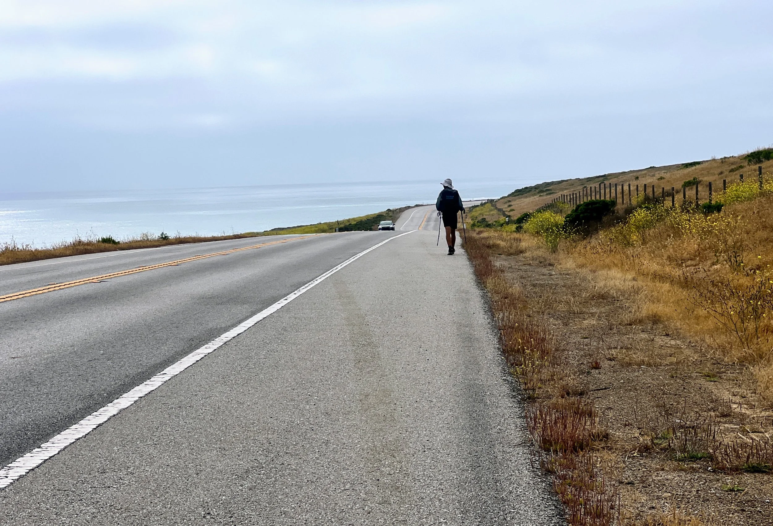
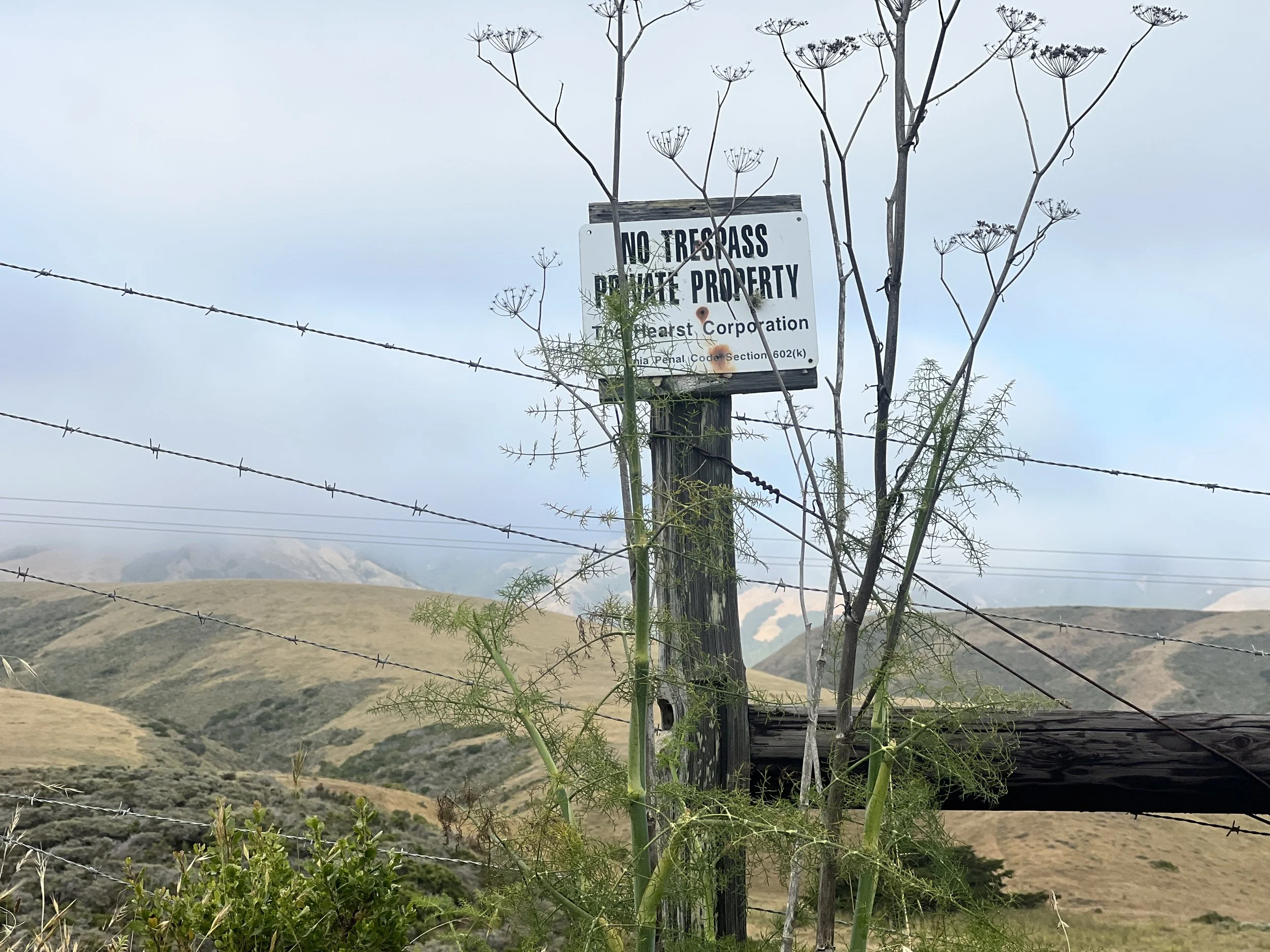
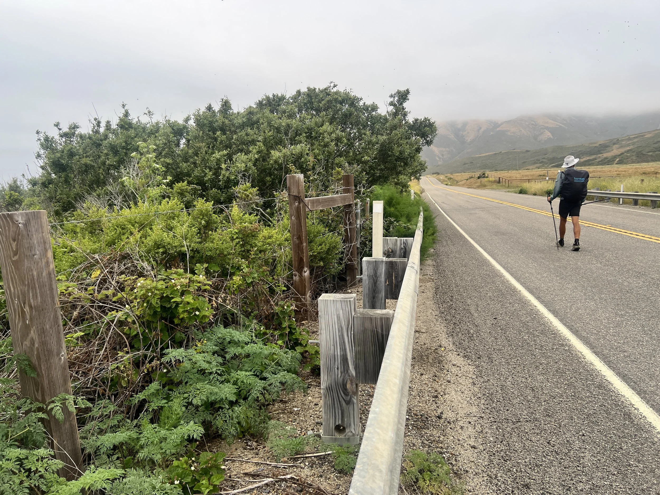
This 50-mile stretch of the Condor Trail hugs the coast not because it’s the most scenic route, but because it’s the only option. Los Padres National Forest is broken into disconnected sections by private land, leaving no continuous public corridor through the inland mountains. The trail drops to the shoreline to link the forest back together, but even along the beach, signs shout No Trespassing. Some private sections cut off access entirely, forcing us onto Highway 1. The fenced-off land feels cold and unfriendly, a reminder of how much of the coast is off-limits to the public and how carefully we have to navigate.

We leave the sand behind and follow Highway 1 through the small town of San Simeon. Urban hiking has its perks: breakfast, coffee, and a place to charge our electronics. The San Simeon Beach Bar & Grill fits the bill perfectly. Phones plugged in, we dig into a plate of potatoes and catch our breath.

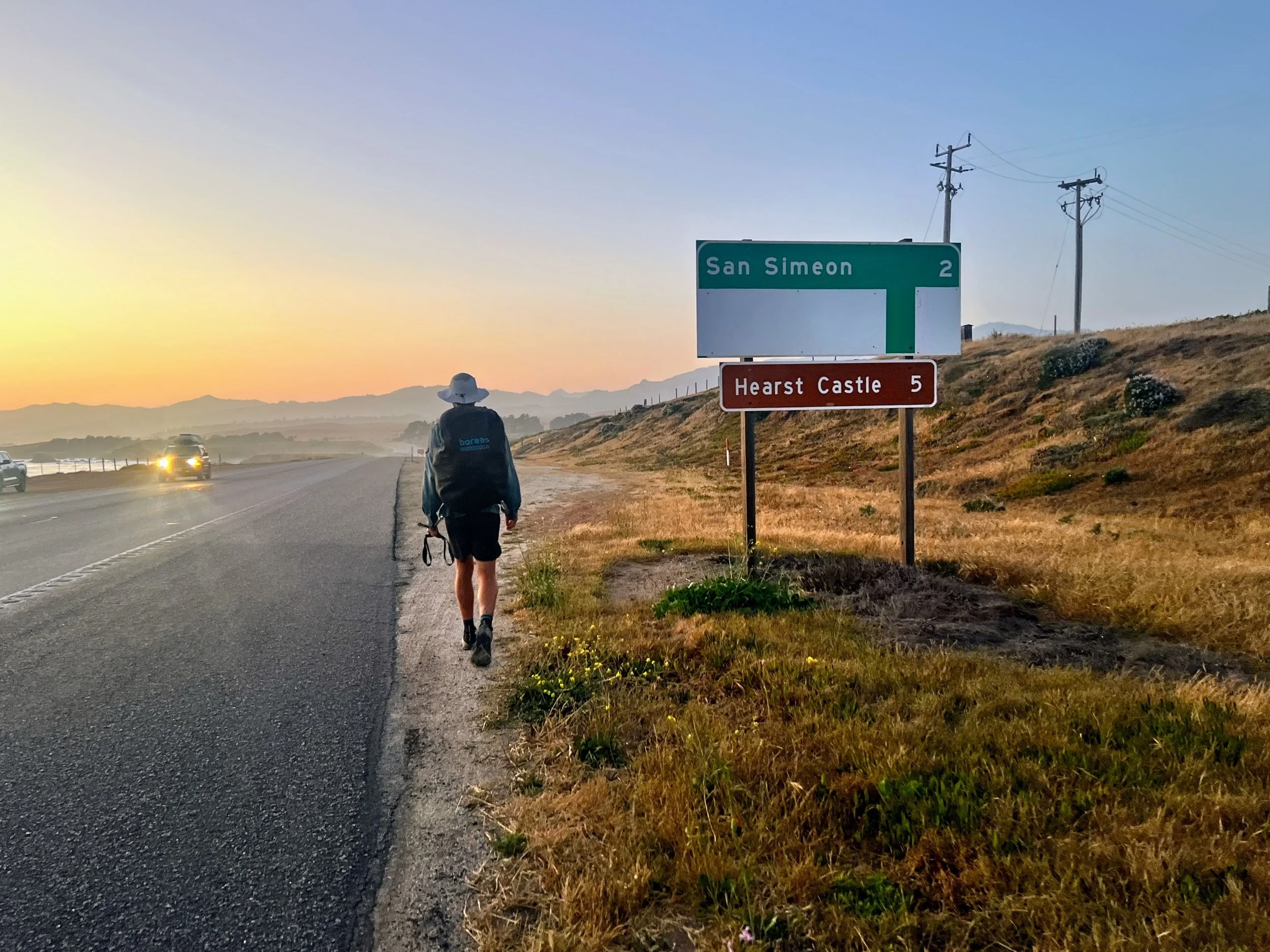
We continue weaving between highway and beach, navigating around the Hearst Castle area. Hearst Holdings owns Hearst Ranch, which blocks large portions of the Condor Trail and surrounding public lands. The ranch stretches across 83,000 acres with nearly 18 miles of coastline, pushing the trail onto Highway 1 and breaking the flow of our hike. Every step on the road makes the wilderness feel farther away.
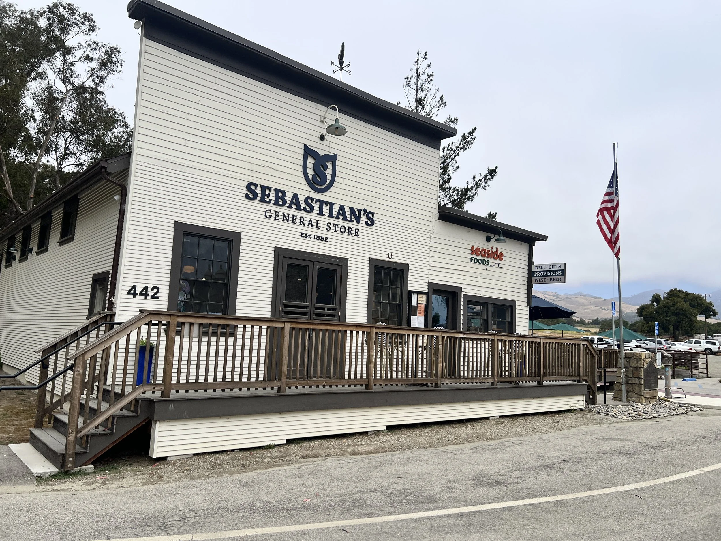
We stop at Sebastian’s General Store for a cider. On the way out, I scan the landscape through my monocular. Hearst Castle rises on a distant hill, enormous and absurd against the wild coast. Its fenced grounds slice through what could be continuous forest, forcing the trail onto roads. The contrast between untamed terrain and the meticulously managed estate feels almost theatrical.
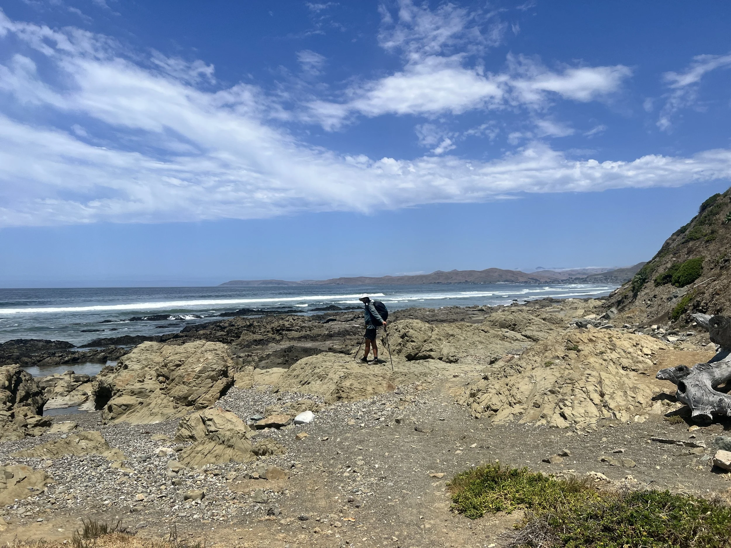
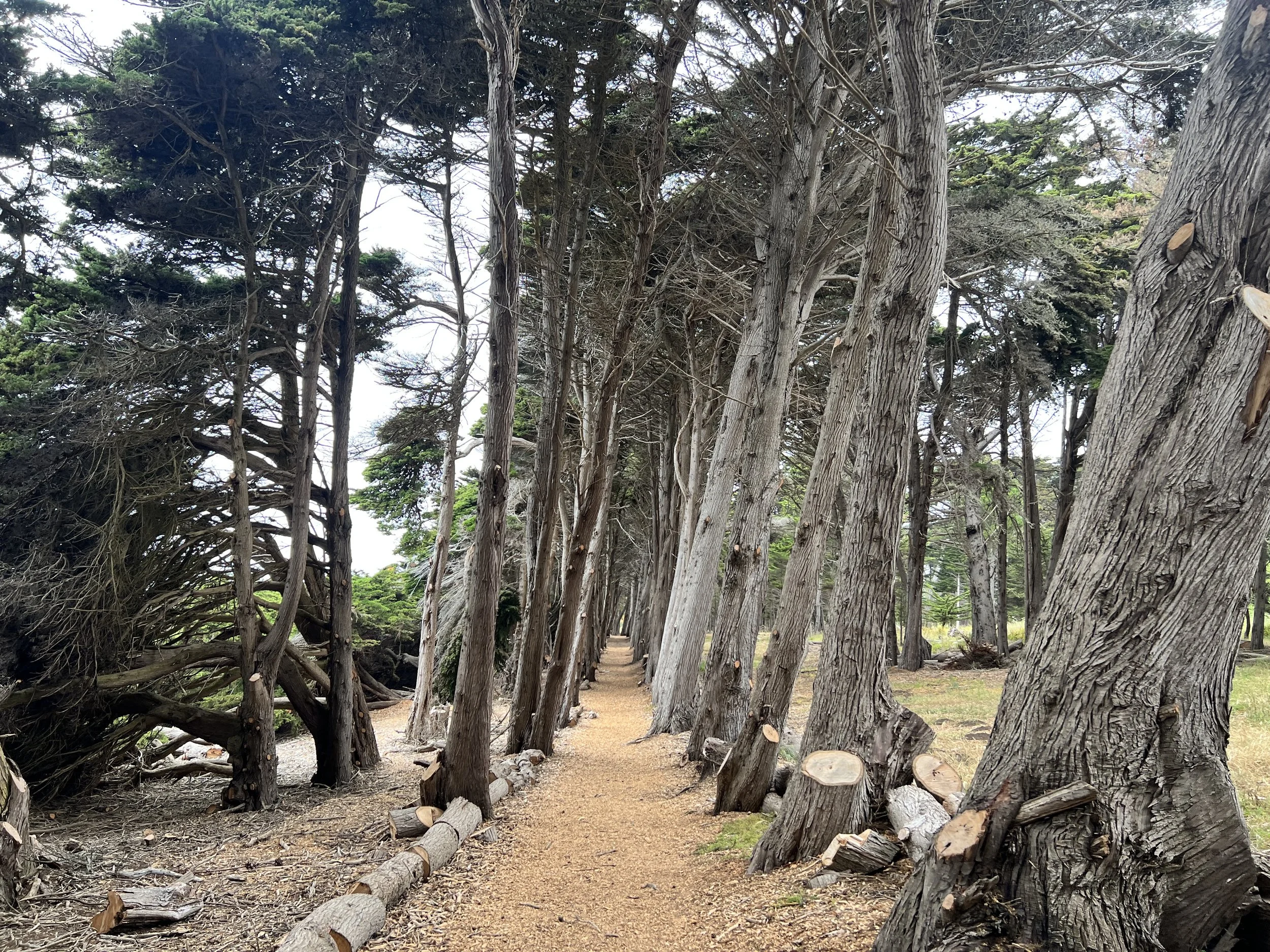
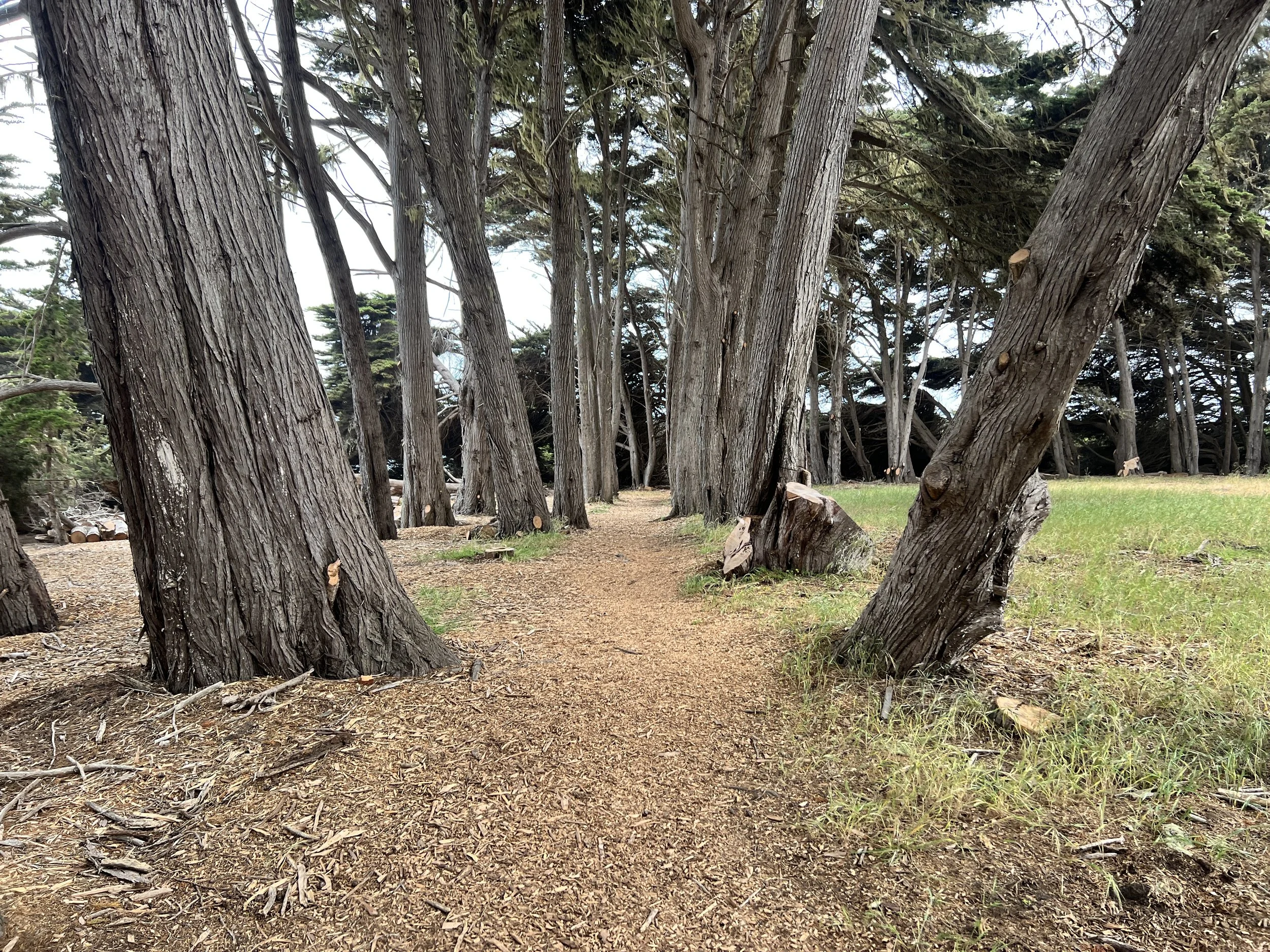
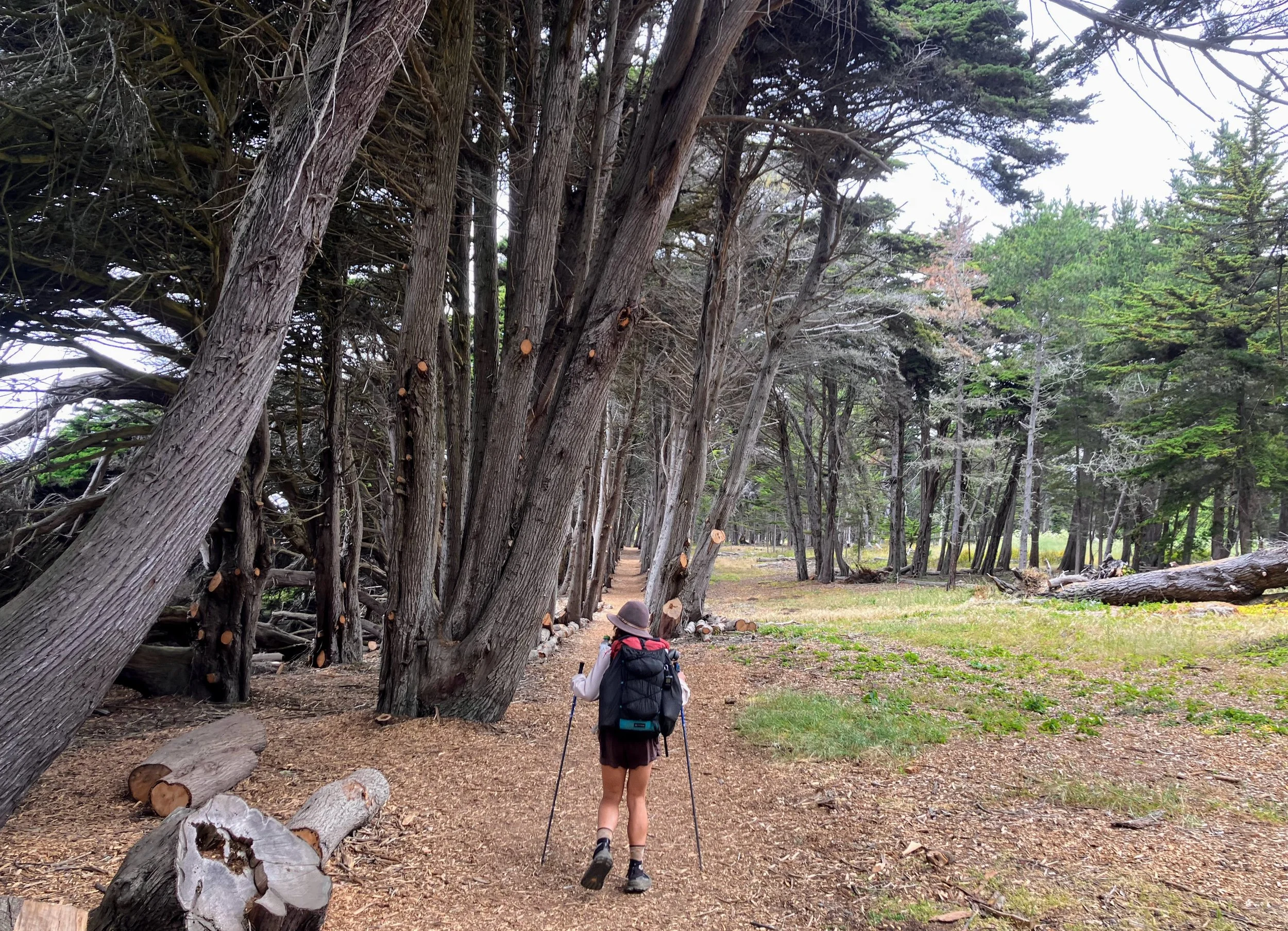
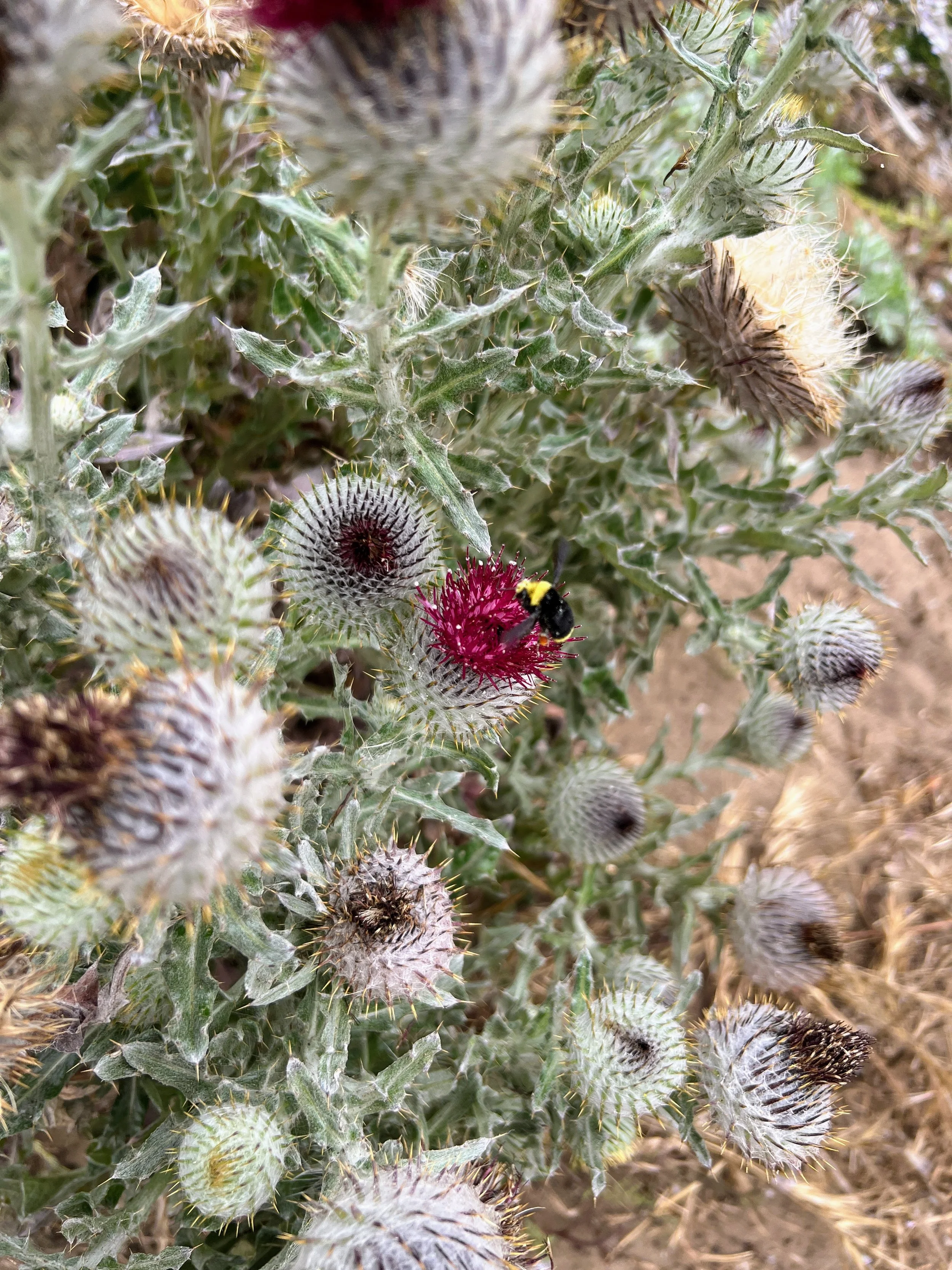
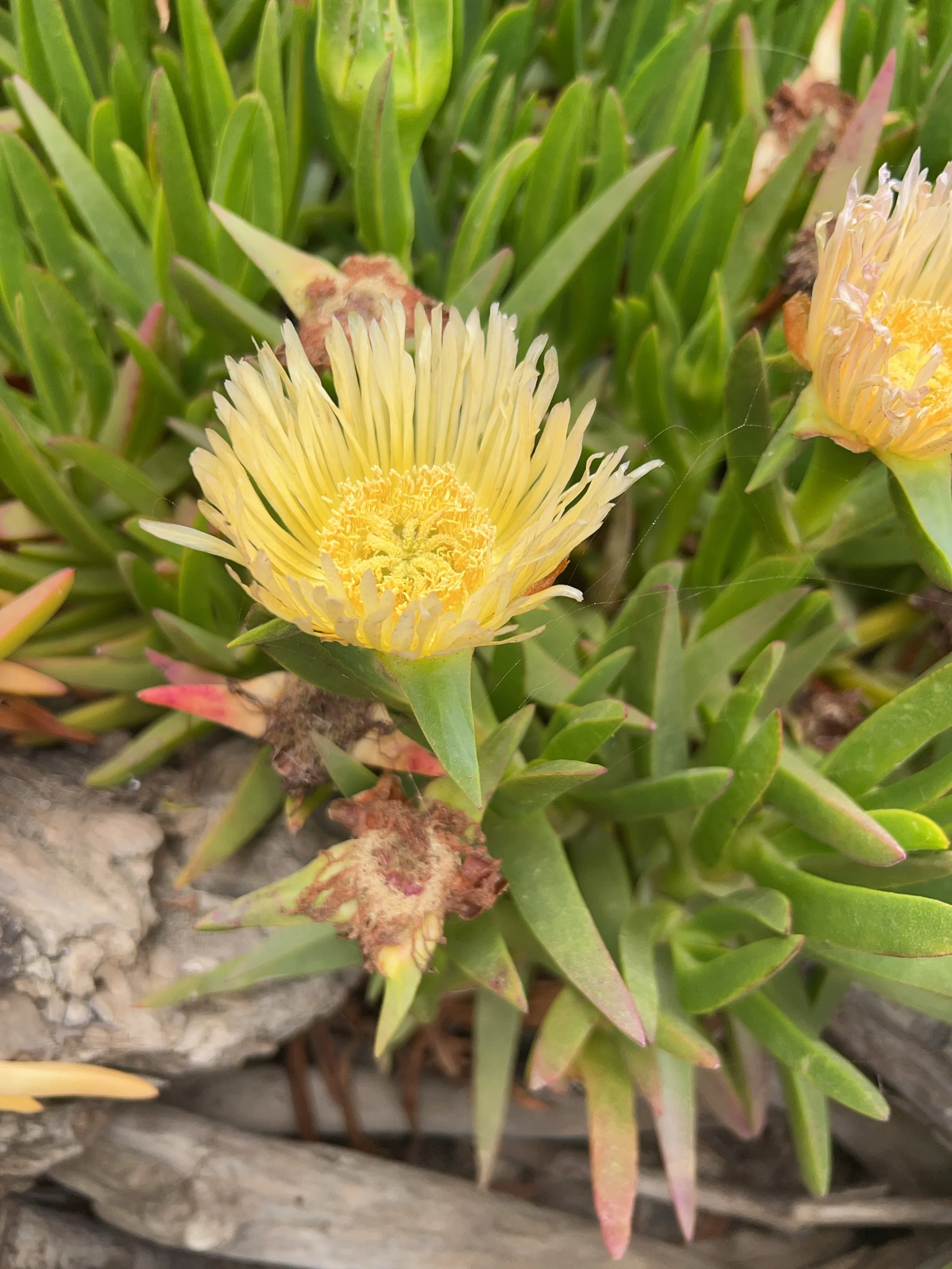
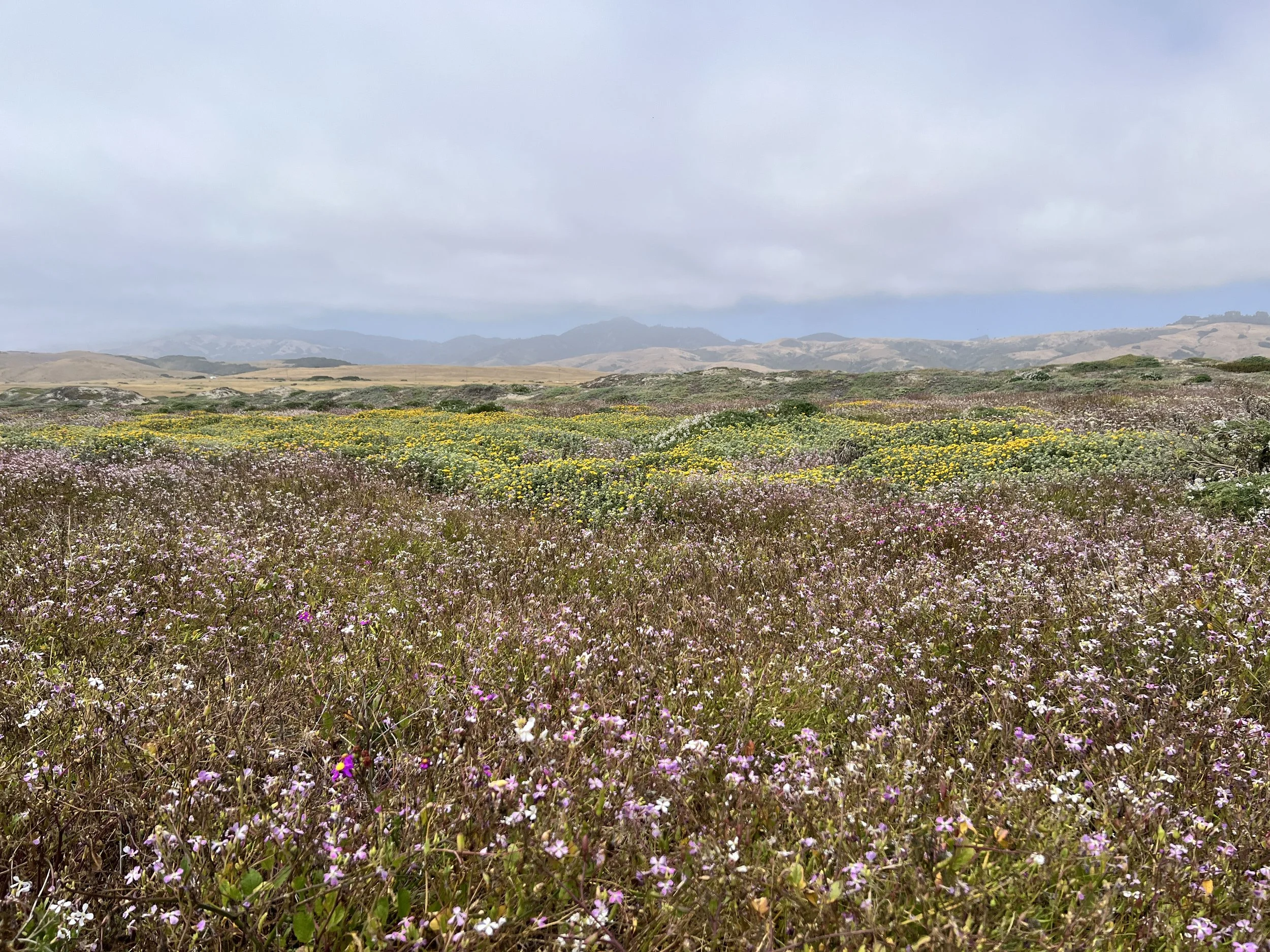
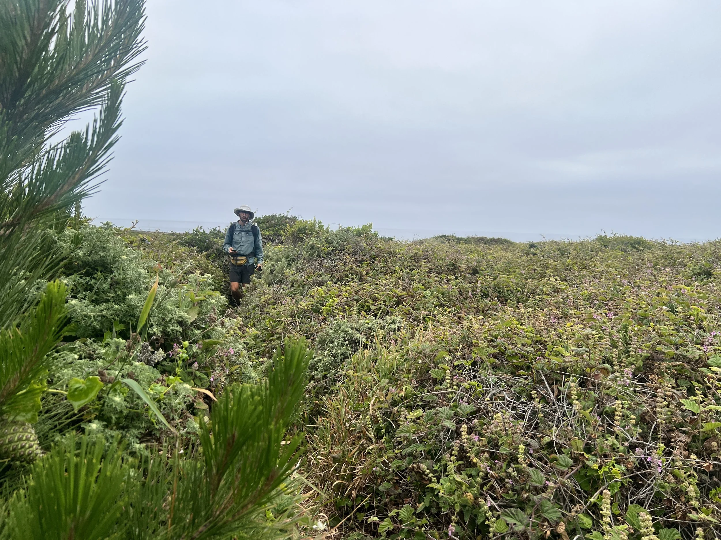
We hike the San Simeon Point Trail, which follows the coastal bluffs and weaves between private and public lands. The variety of plants, birds, and coastal smells keeps the miles lively despite the obstacles. The path winds through stands of Monterey cypress, scrub, and wildflowers, with glimpses of San Simeon Bay below. The trees feel almost fantastical, but fences along the trail remind us of the private property boundaries. The path is soft underfoot and easy to follow.
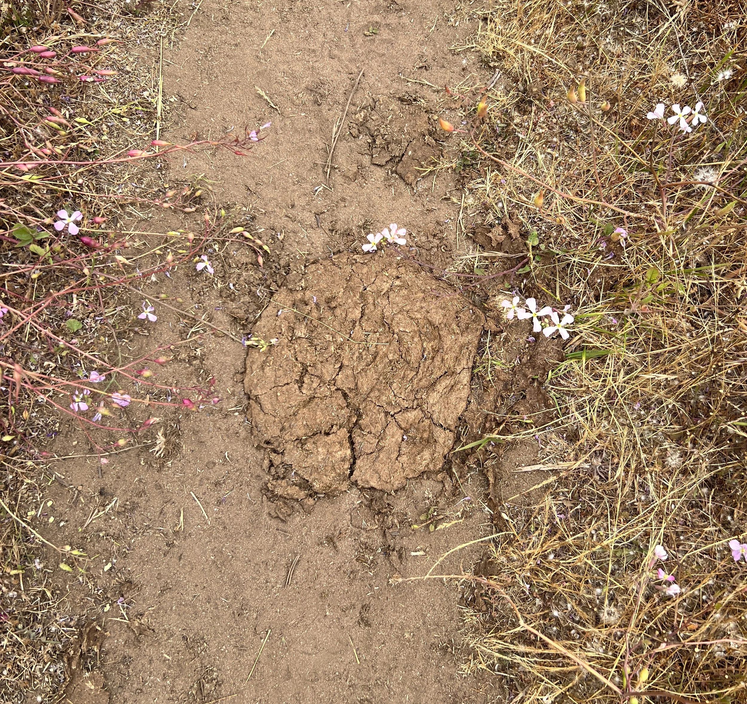
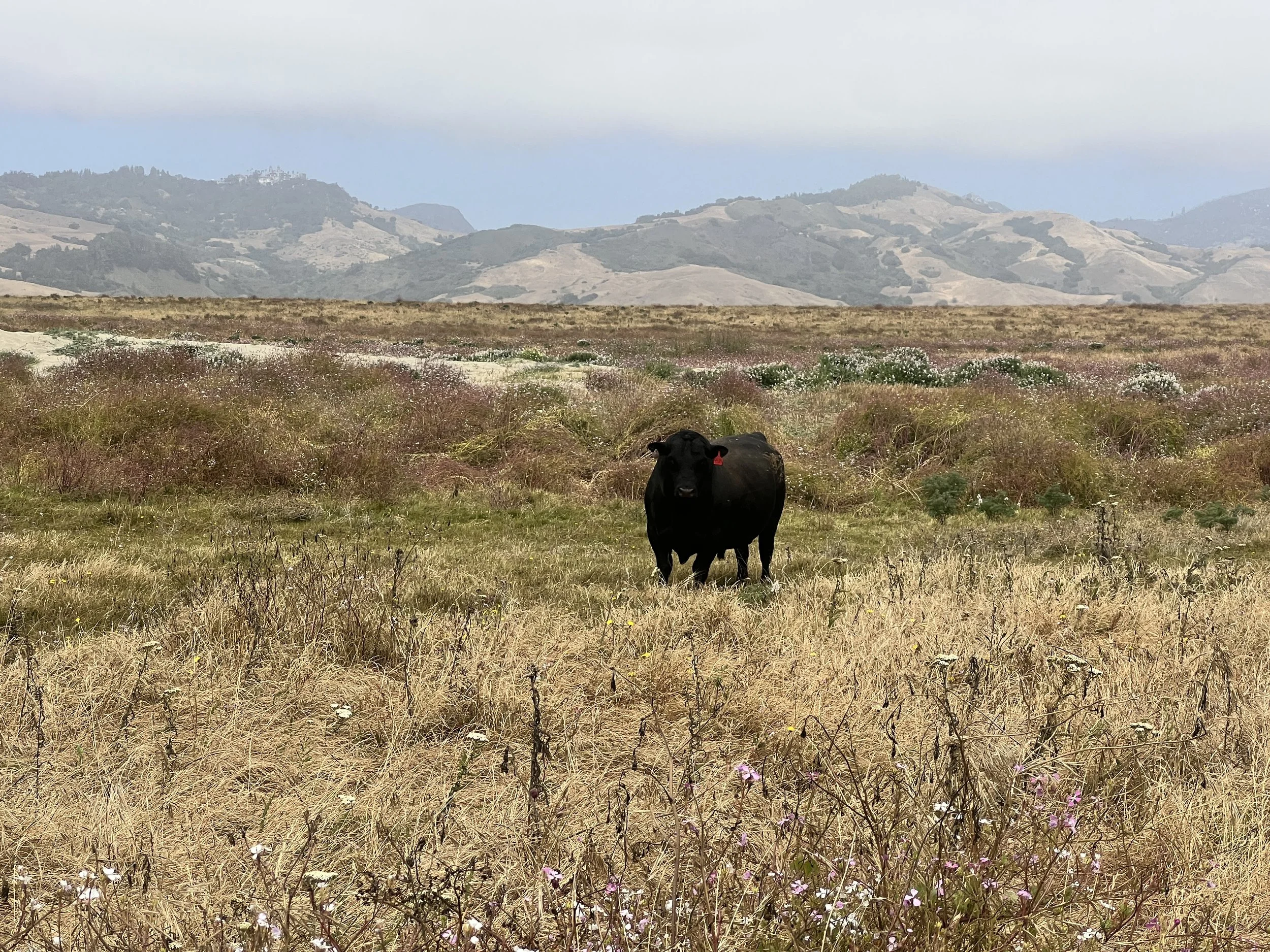
We leave the forest and head back down, closer to the shoreline. I step around a fresh cow pie and pause. How does this end up here on the coast? Livestock reminds me that even this wild stretch is shaped by ranching, fenced pastures, and private land. The environment isn’t purely natural; it’s managed, influenced, and at times restricted by human hands, a reminder that the coastline belongs to many forces, not just the ocean.
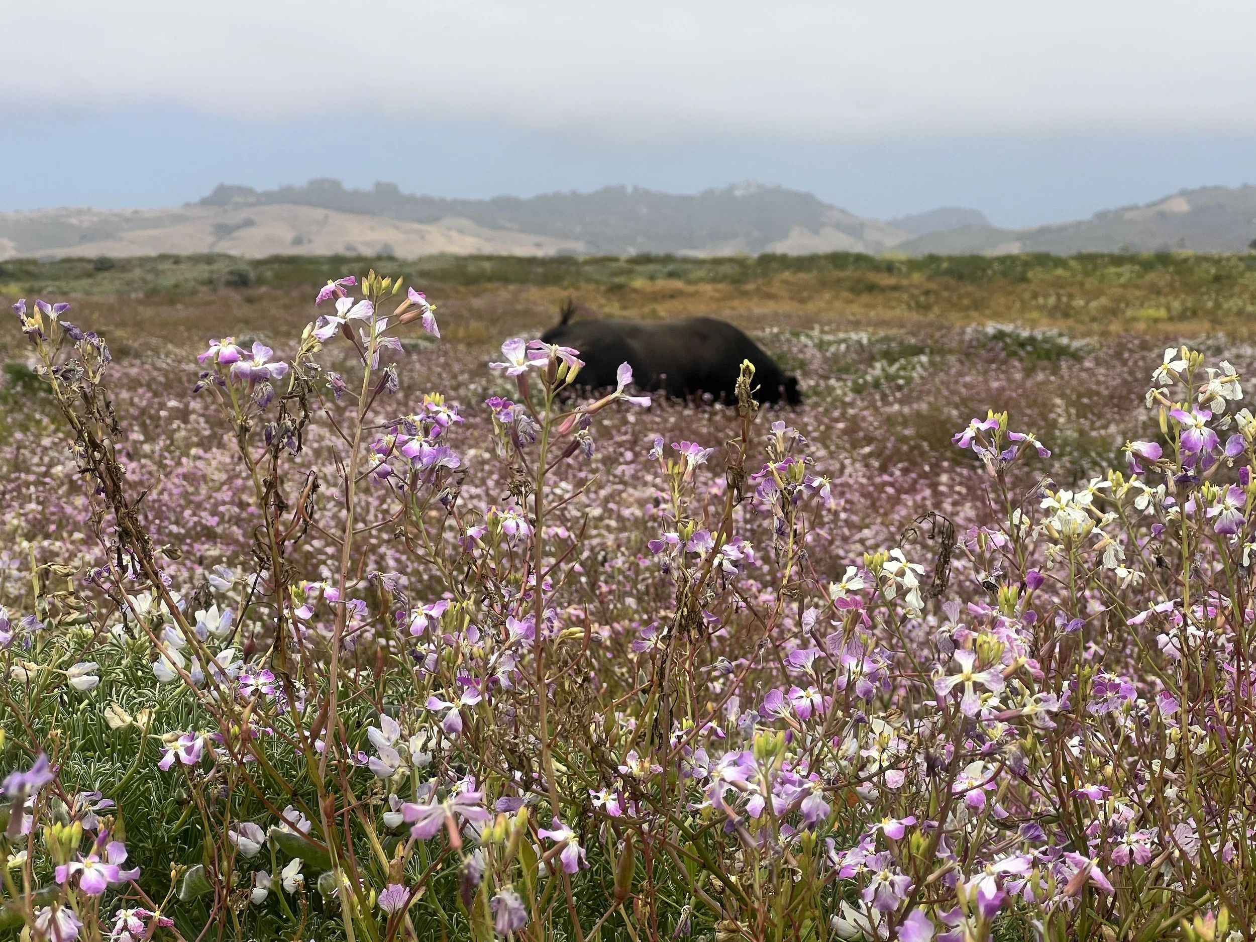
We walk through fields of wildflowers and, to our surprise, spot a coastal cow standing oddly among the blooms, nose buried deep in the plants. Seeing him there feels completely out of place. Mystery of the cow pie solved.
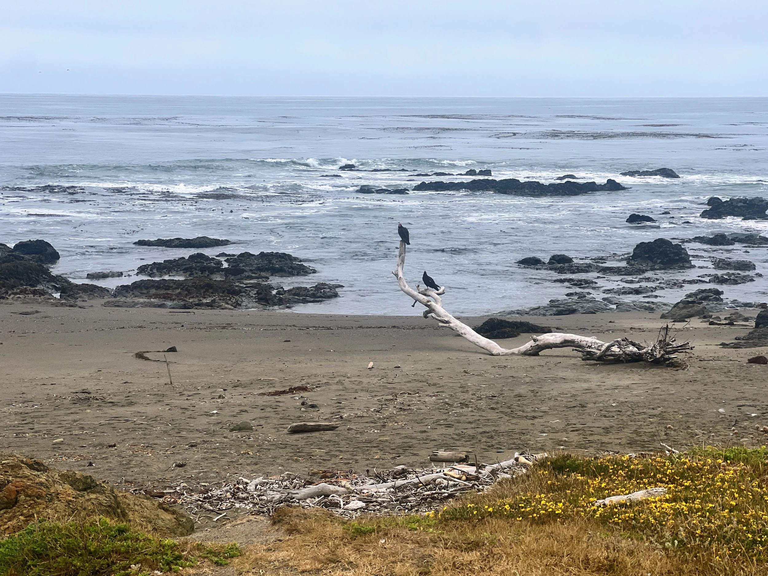
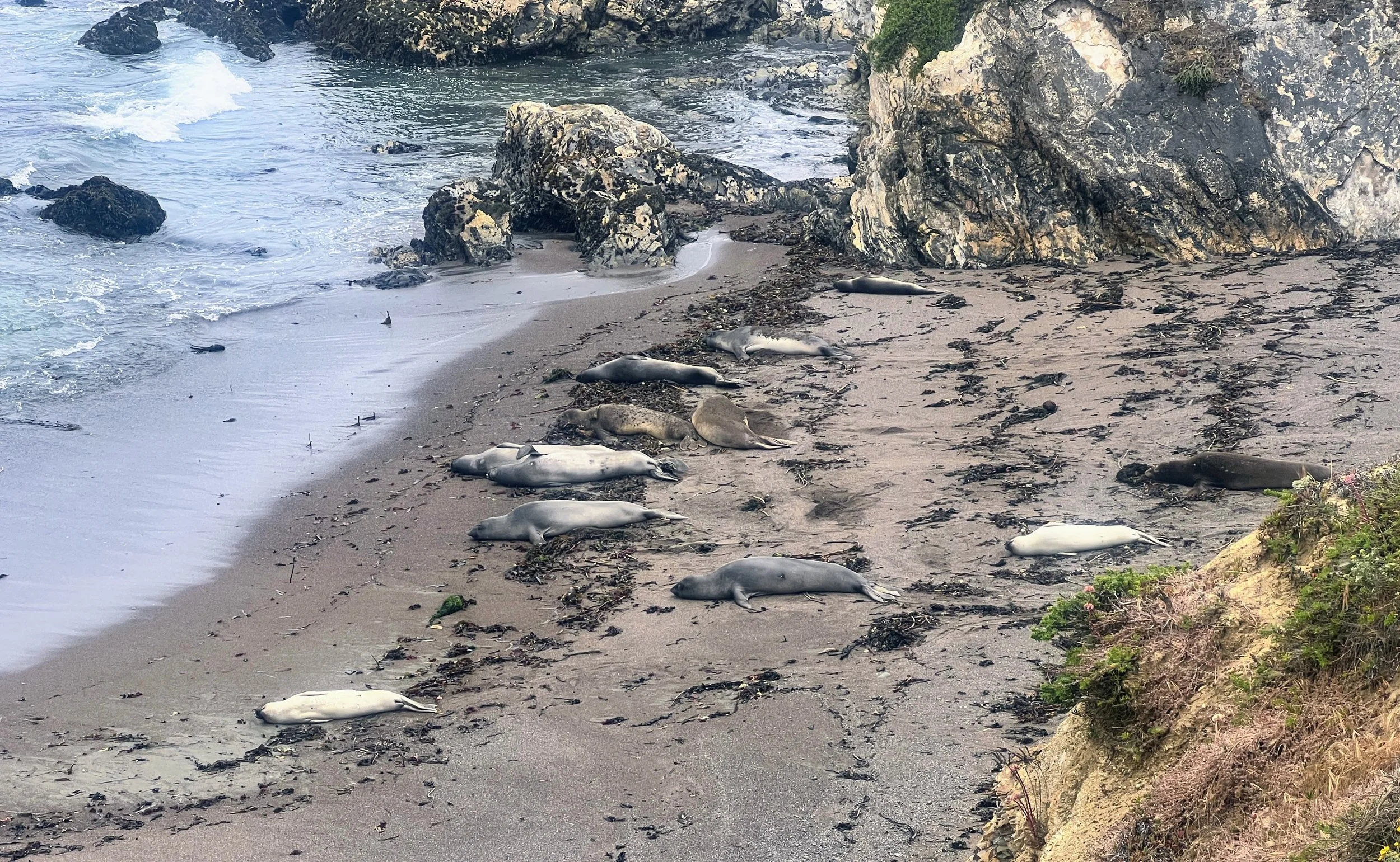
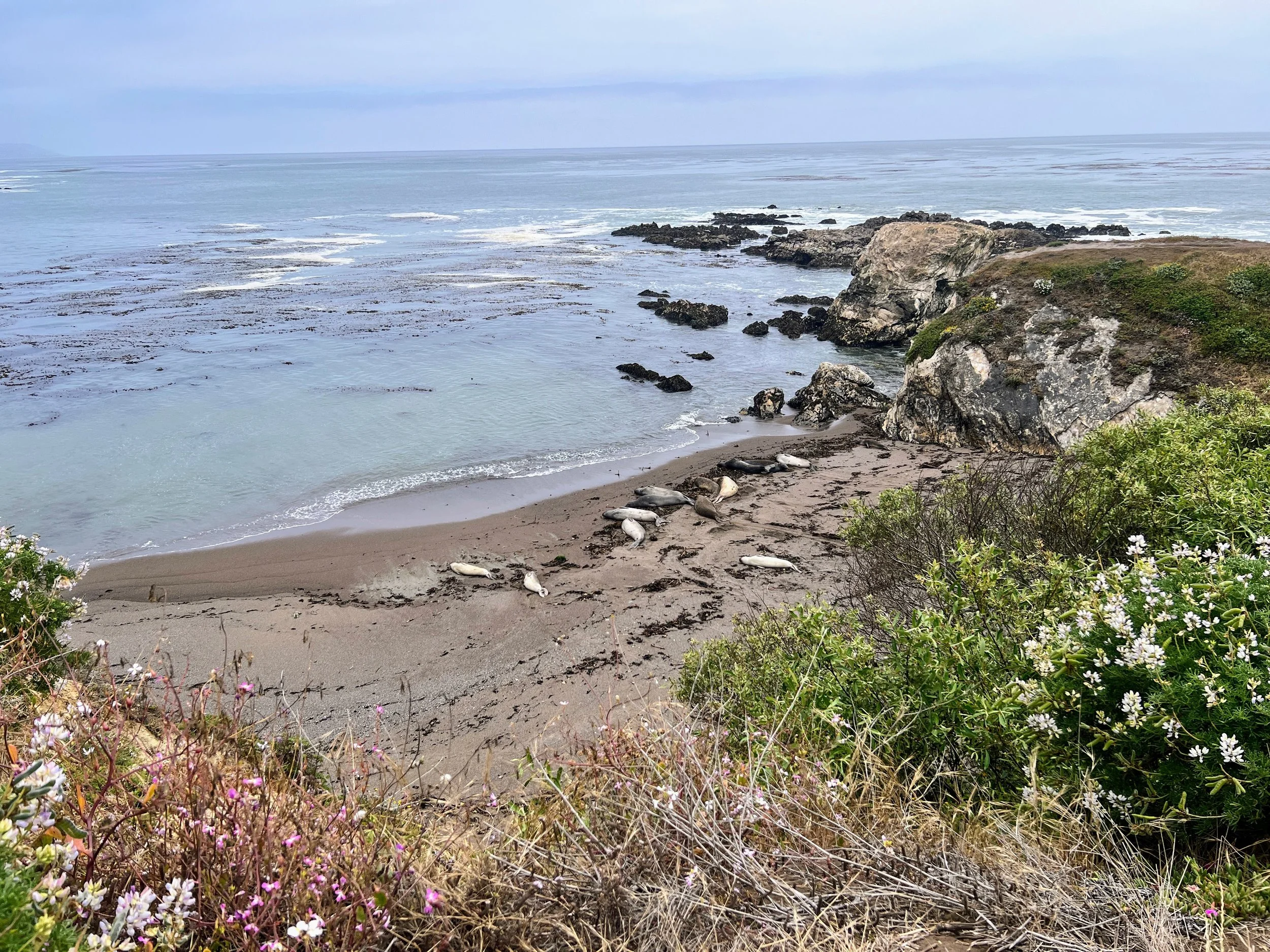
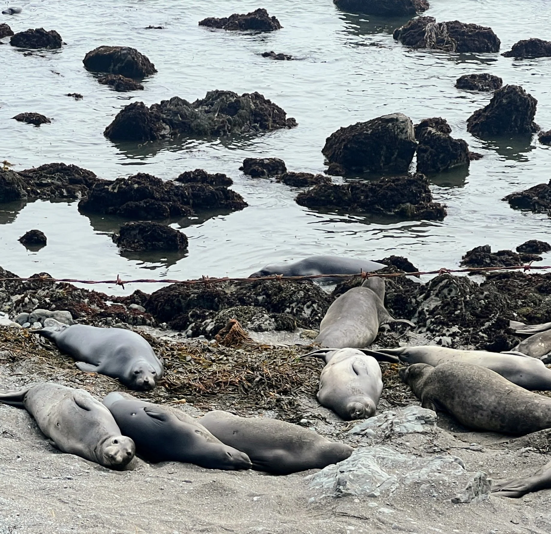
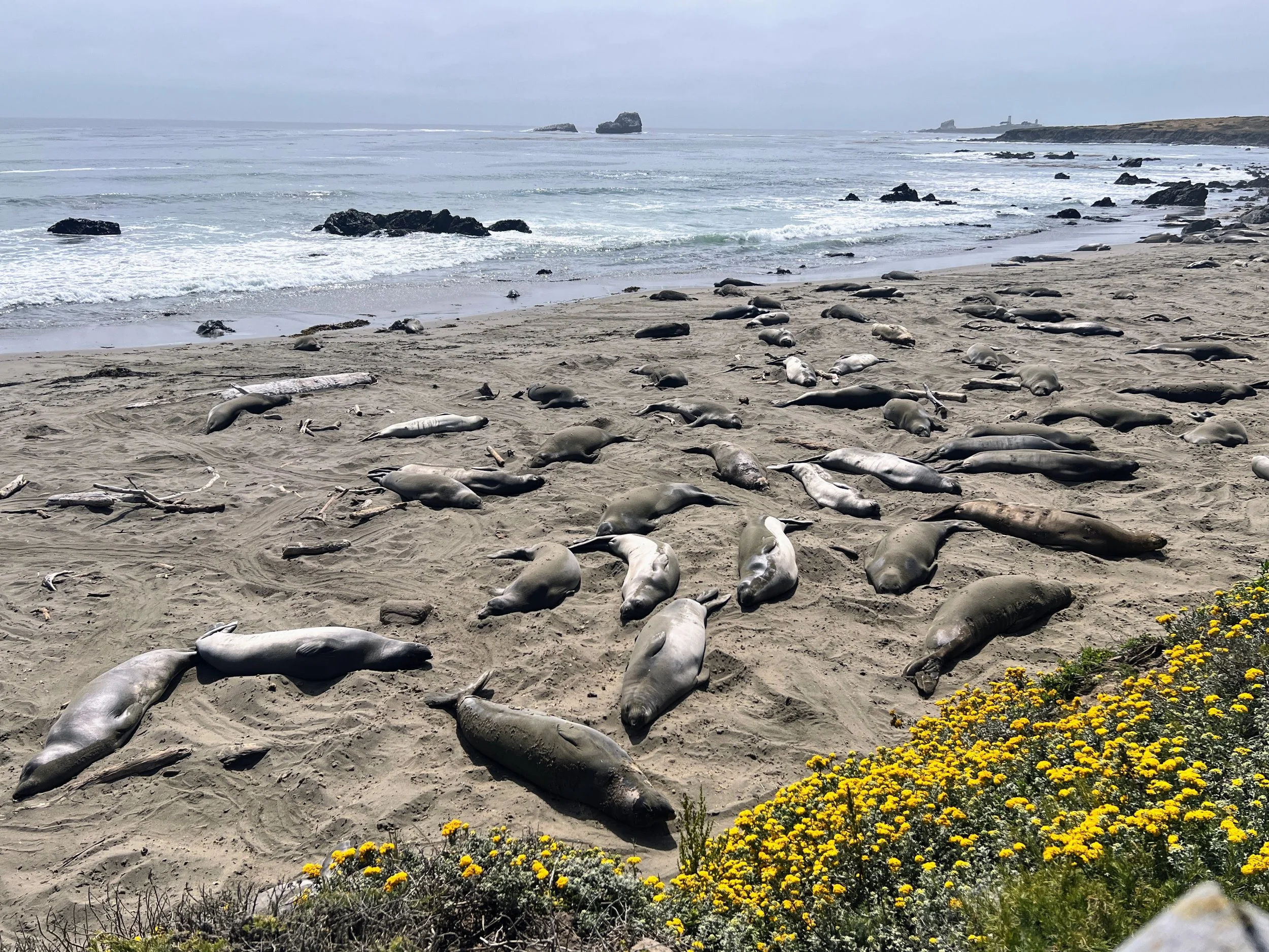
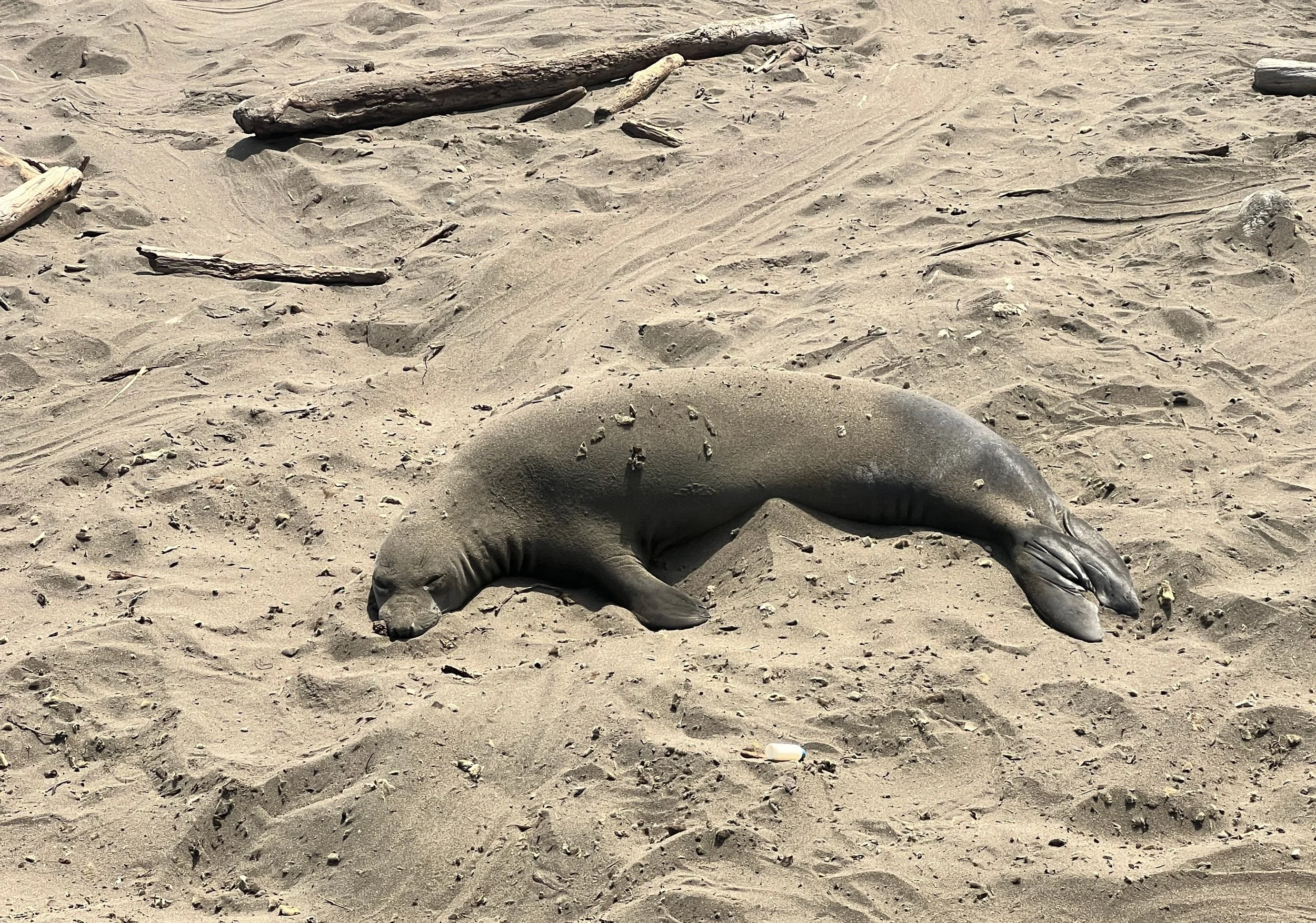
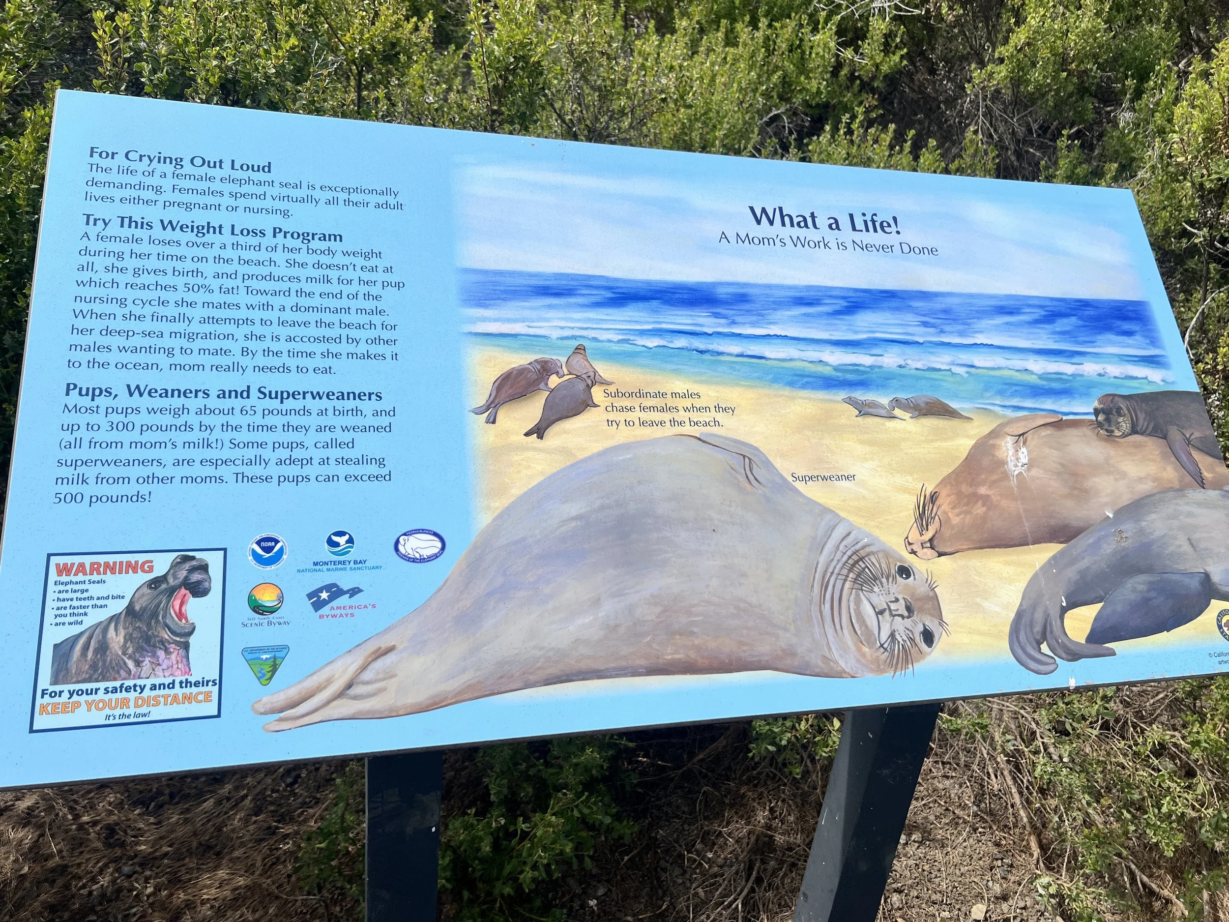
Elephant seals sprawl on the sand. Mothers and juveniles pile together, sparring, grunting, wobbling in and out of the water like giant worms. Nothing about them seems efficient, but they own the beach. They are hilarious to watch.

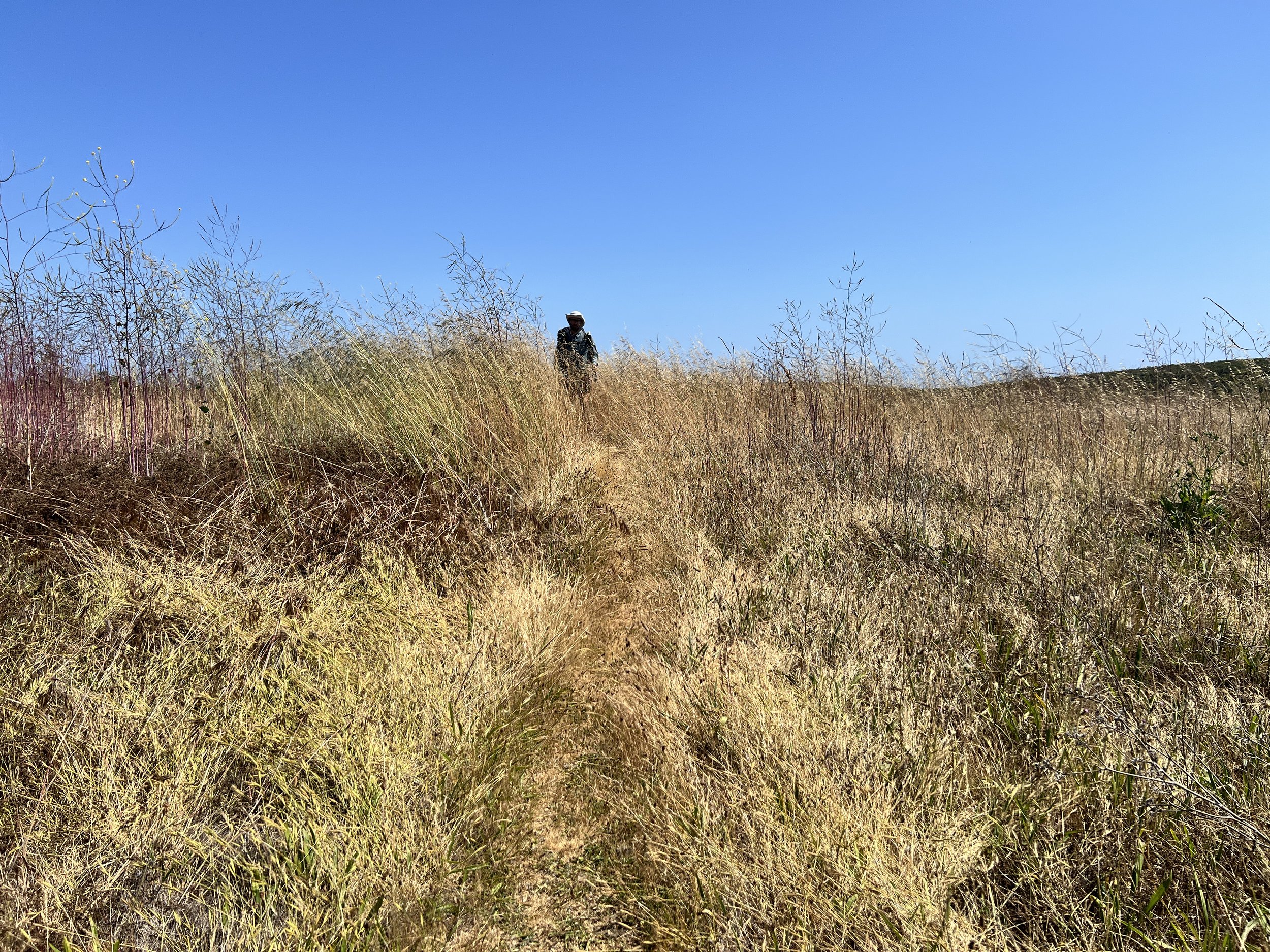
We get back on Highway 1 for another stretch of road walking to reach Ragged Point, where our resupply boxes are waiting (hopefully). The pavement takes its toll, my feet ache from my uncomfortable shoes and the miles of uneven, unforgiving surface. On the bright side, the road is mostly empty now. With a closure farther down, few cars pass this way, and the highway feels quiet, almost peaceful.
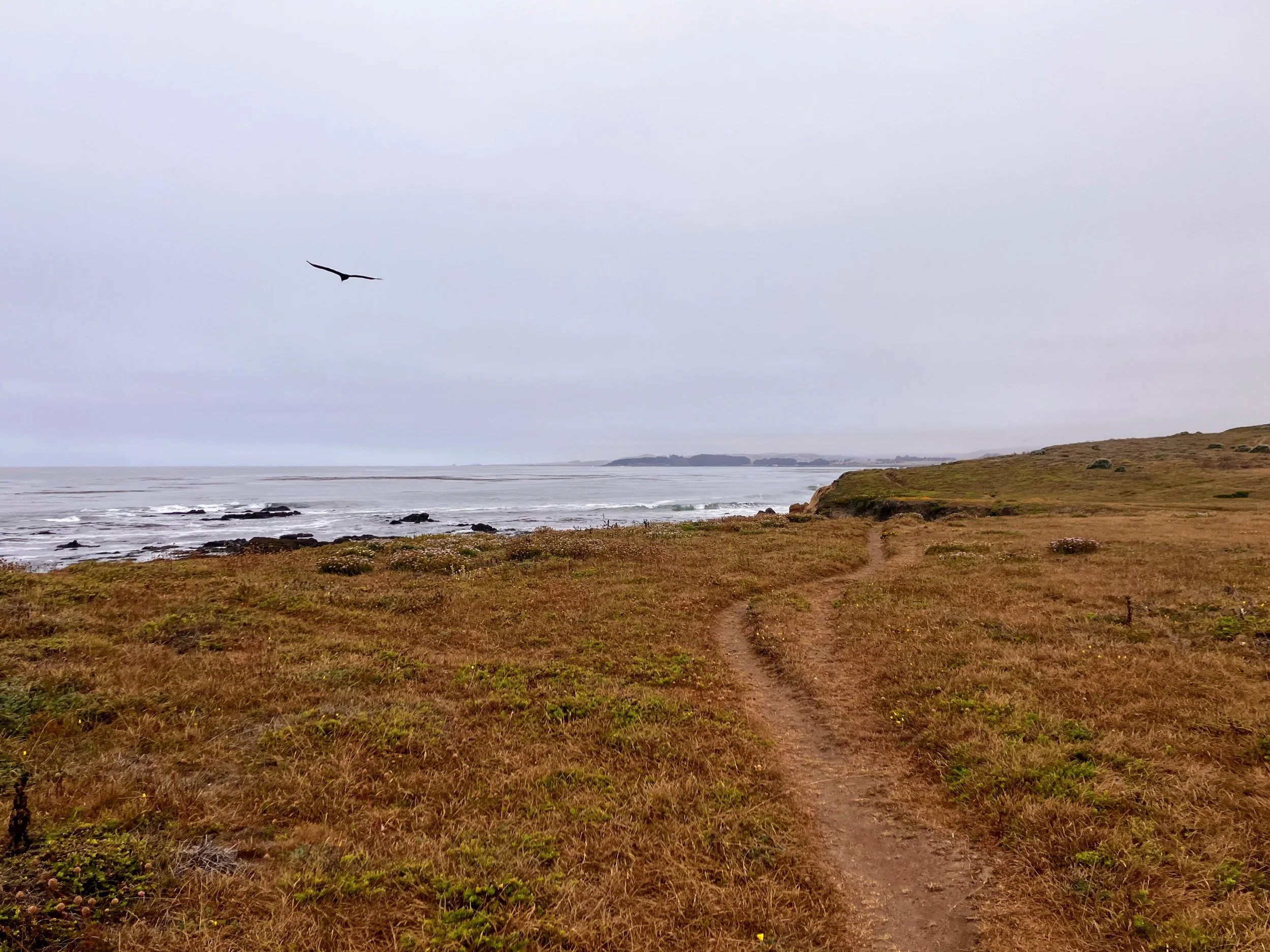
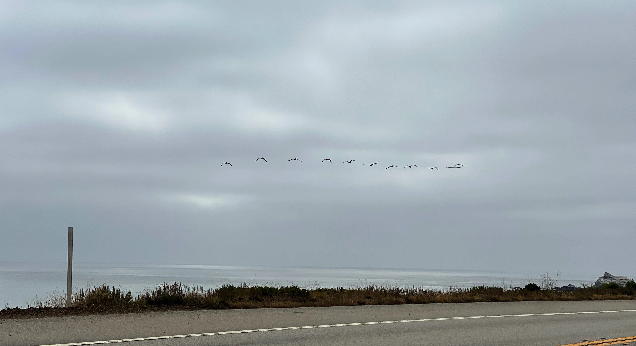
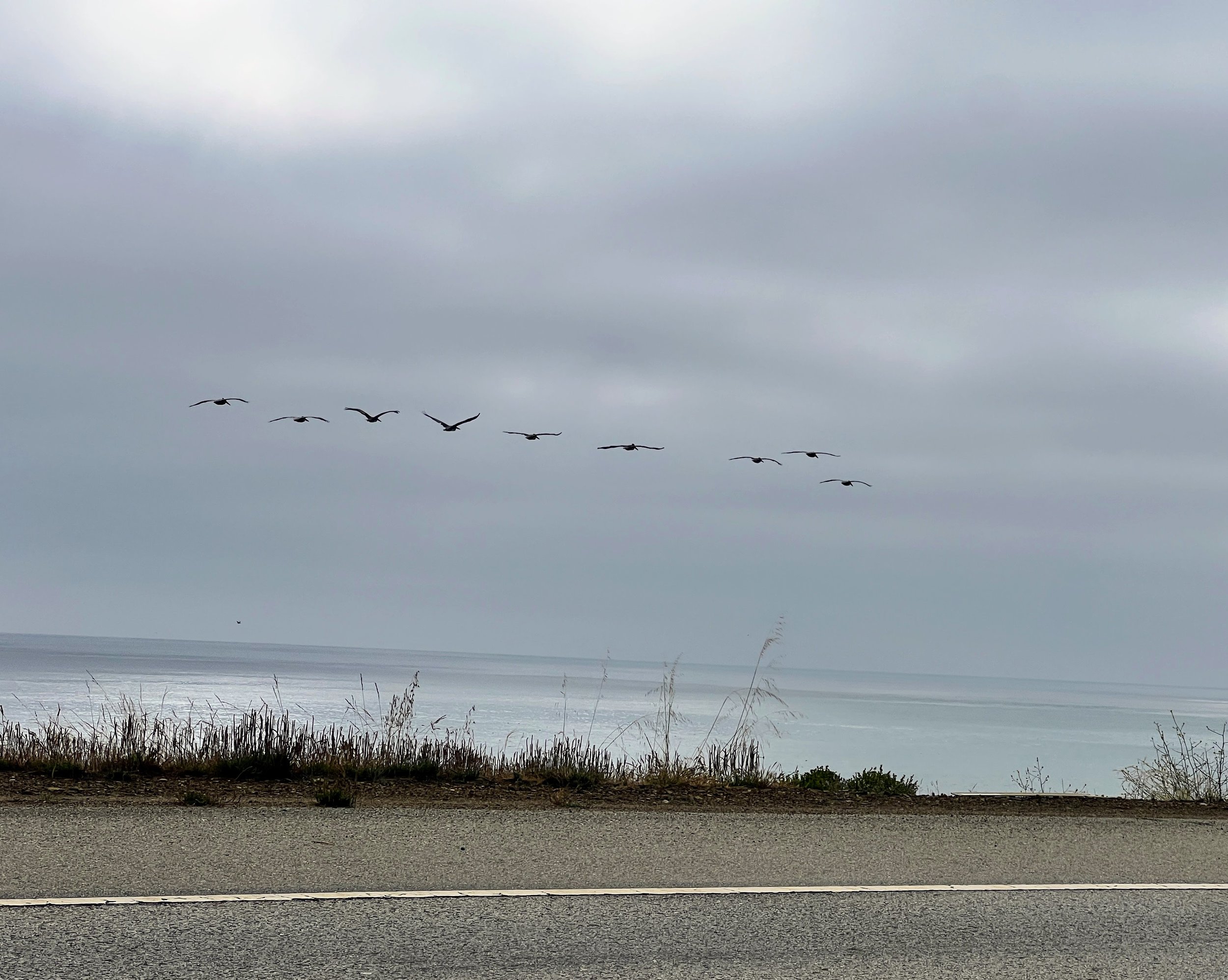
I look up from the road to watch groups of birds fly north up the coast, their V’s and arrows steady and guiding. Watching them always fills me with awe.
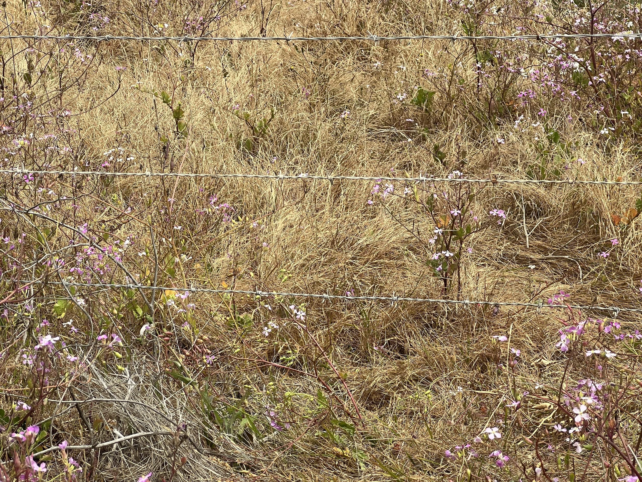
Branches poke through barbed wire along the roadside. reaching like the hands of prisoners begging for release.
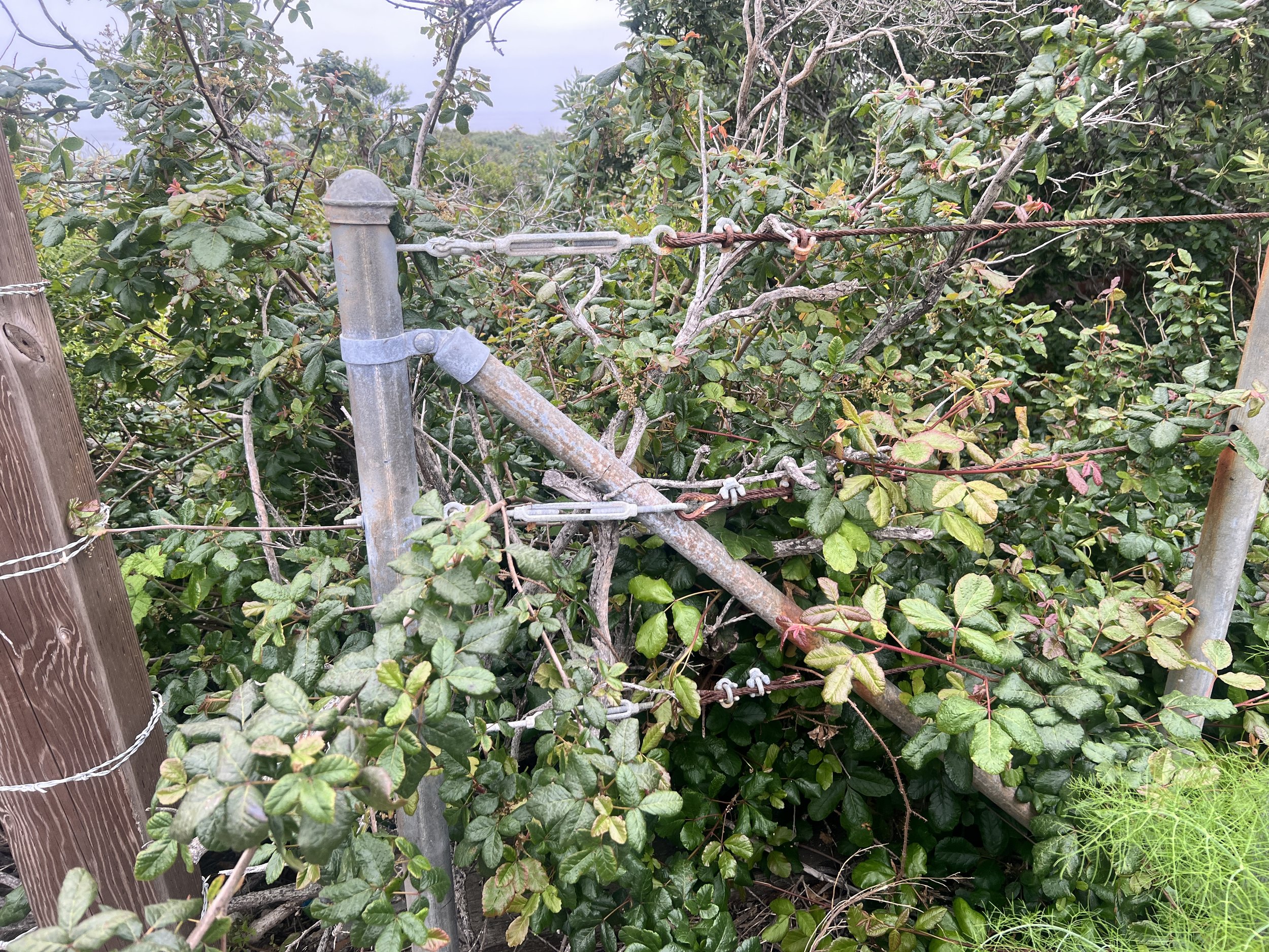


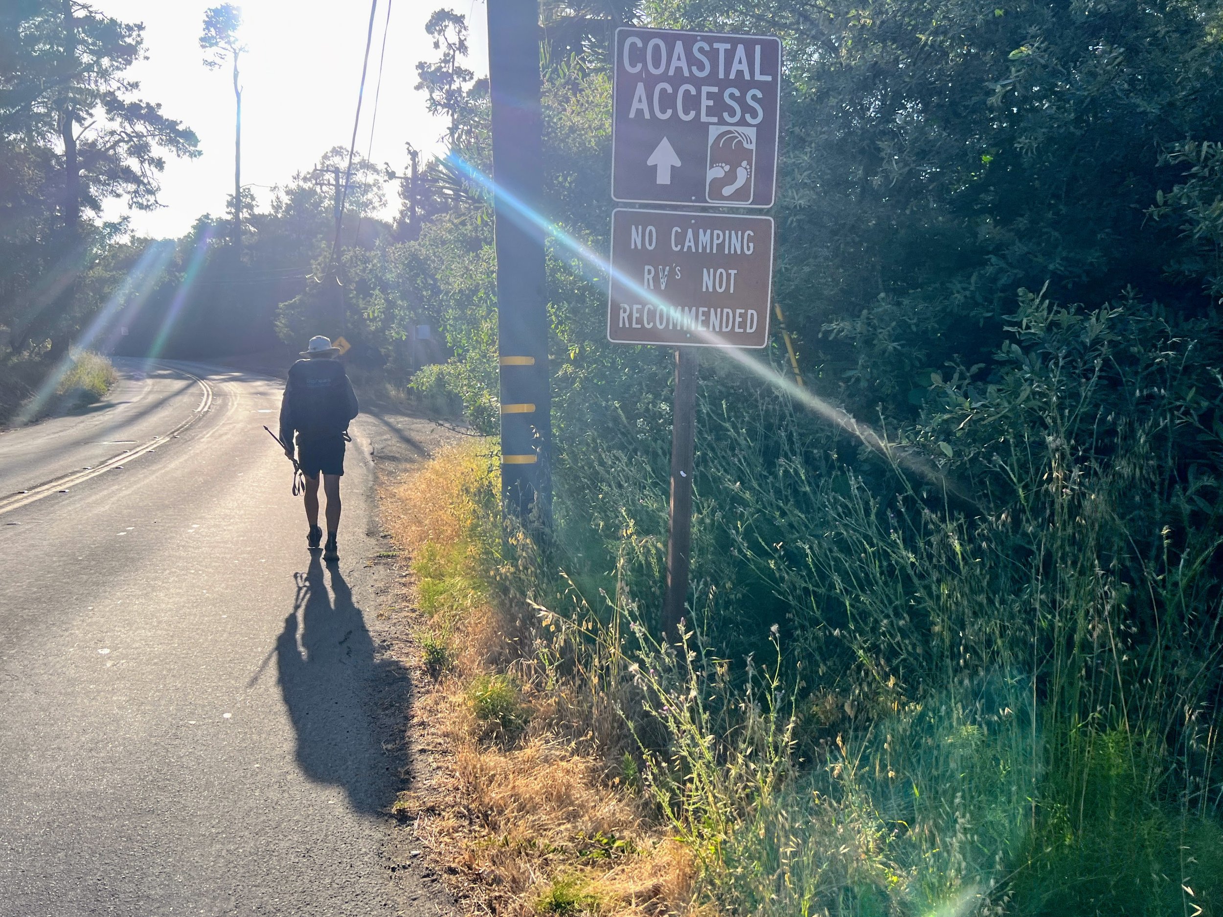
It’s getting dark. The fog rolls in and we are tired. We don’t want to pay $200 for one night at the Ragged Point Inn so we decide it’s best to find somewhere to camp before we get there. It’s not easy to do when you’re surrounded by fences, private land and no trespassing signs.
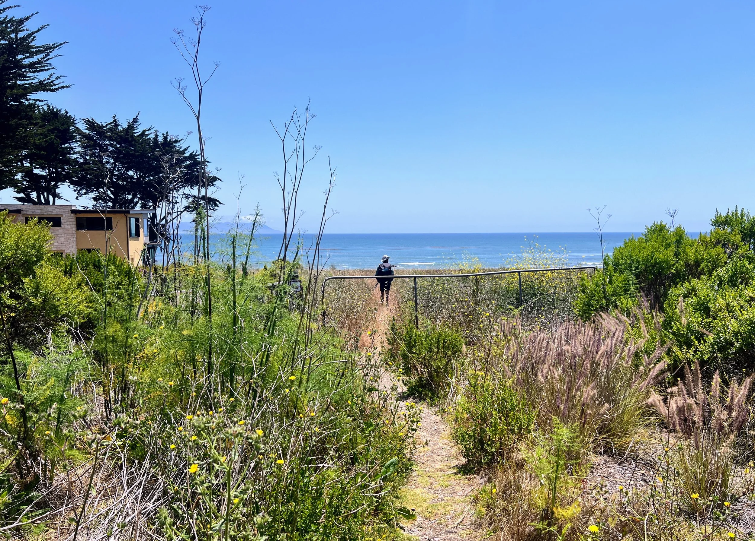
We’re a couple of miles from Ragged Point Inn. A short single-track trail leads from the highway through thick coastal vegetation to a lookout called Ragged Point. Cosmo suggests hiking out to the point and setting up camp. I am hesitant, the surrounding private property makes me paranoid, but we decide to check it out.
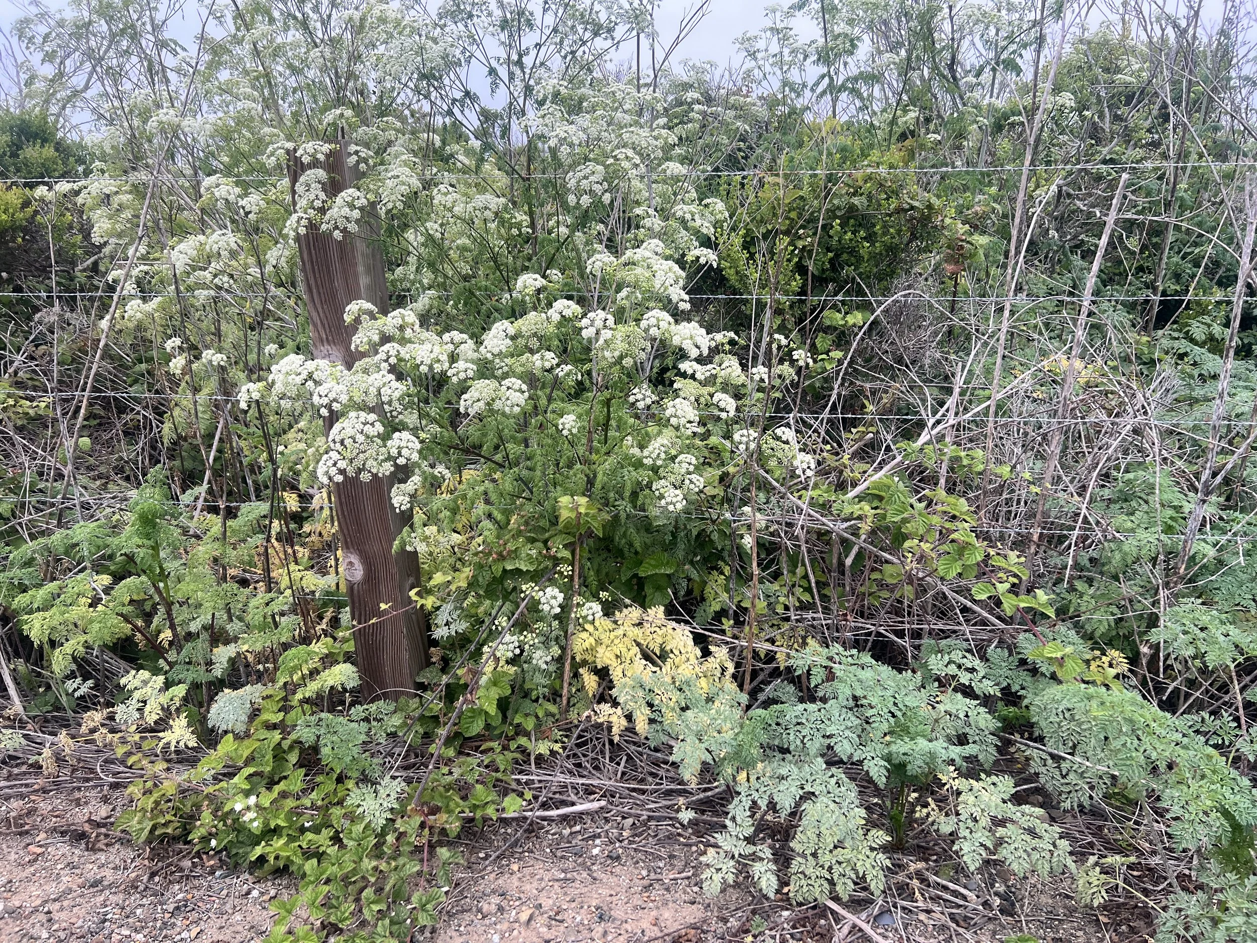
The path is narrow, plants pressing in from both sides, and I keep thinking any second it could be overrun with poison oak. We pass a couple of flat spots, perfect for a tent, tucked beneath and protected by coastal trees, low cypress and scrubby pines that shield from the wind and fog. We hike a little past these spots to see the view. When we finally reach Ragged Point, the cliffs drop sharply to the ocean, waves crashing below, and the horizon stretches wide but disappears into thick ocean fog. To my surprise, it feels completely private and almost perfect.
This is by far our best camping option, and I’m tired. It’s dark, so we set up quietly among the trees. We fall asleep to the sound of ocean waves crashing and the distant calls of elephant seals barking and grunting.