Condor Trail Part 3: Santa Maria to Morro Bay
Day 14 | May 28, 2025
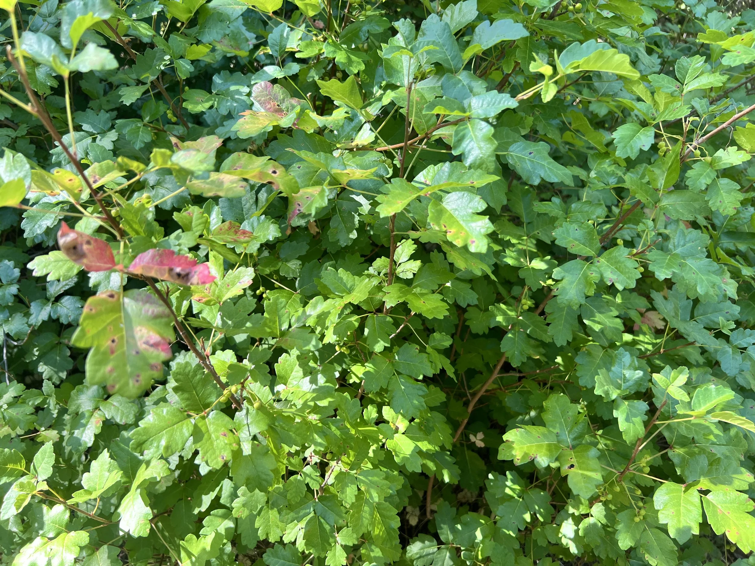
We leave Motel 6 feeling slightly better. The rest was good, my feet especially needed it, but the existential questions still hang in the air. Why are we doing this? Not just this trail, this day, or this next section, but the whole thing. The blisters, the hunger, the inability to actually hike on a "trail" that’s often more concept than reality. The impenetrable poison oak. All of it.
In the parking lot, Cosmo calls Addison. He walks us through the next couple of sections.
“You’ll get some relief in the next stretch,” he says. “There’s more actual trail and some dirt road walking.”
Cosmo nods. “What about Big Sur?”
Addison doesn’t hesitate. “The bushwhack in Big Sur was the worst section.”
Cosmo and I exchange a look, eyes wide, shoulders sagging.
Addison describes the final stretch: the route cuts through a burn scar, clings to steep, eroded slopes, and winds through unstable terrain. We’ll be climbing over thick branches and fallen tree trunks, not just any trees, either. These are coastal redwoods, their bark ridged like the folds of a giant’s palm, their trunks wide enough to drive a car through. More bushwhacking follows: dense, wild, and with a high chance of poison oak, worse than what Addison faced, which honestly didn’t seem that bad for him.
He notes, “Worst trail by far was Black Cone, second was Gamboa between Goat Camp and NCRT. Black Cone to me was worse than the off-trail stuff.” His words confirm all the concerns Cosmo’s been quietly stewing over.
I ask bluntly, “Are there any redeeming parts of this route?”
He laughs. “Yes!” he says, enthusiastic. He promises the next section will be a nice break.
We hang up and get in an Uber back to the trail.
We try to make polite conversation with our driver, but he isn’t much for small talk. I can see his eyes in the rear view mirror, his expression stays fixed, his emotion unreadable, stoic. Without the pressure to chat, I pull out my phone and scramble to download maps while I still have service. Some of these maps have been trying to upload for weeks. I keep tapping “resume”, some creep forward in percentage, others just sit there, frozen. It’s maddening. The Gaia map downloads have been glitchy for both Cosmo and me the entire trip. The road twists and dips through the mountains, and every few minutes I look up, head swimming, hands clammy, stomach sloshing from the motion of the screen to scenery and back again. Hopefully the drive isn’t too much longer.
Mid-ride, a pickup truck swerves into our lane.
No response. Our driver doesn’t flinch. He dodges smoothly, no change in expression. Just keeps cruising forward, quiet as ever.
The Adobe Trailhead is just ahead. But to the driver, it looks like we’re in the middle of nowhere. Just a narrow pullout on the side of the road. No sign. No trail. No people.
We laugh. “Yep, this is perfect.”
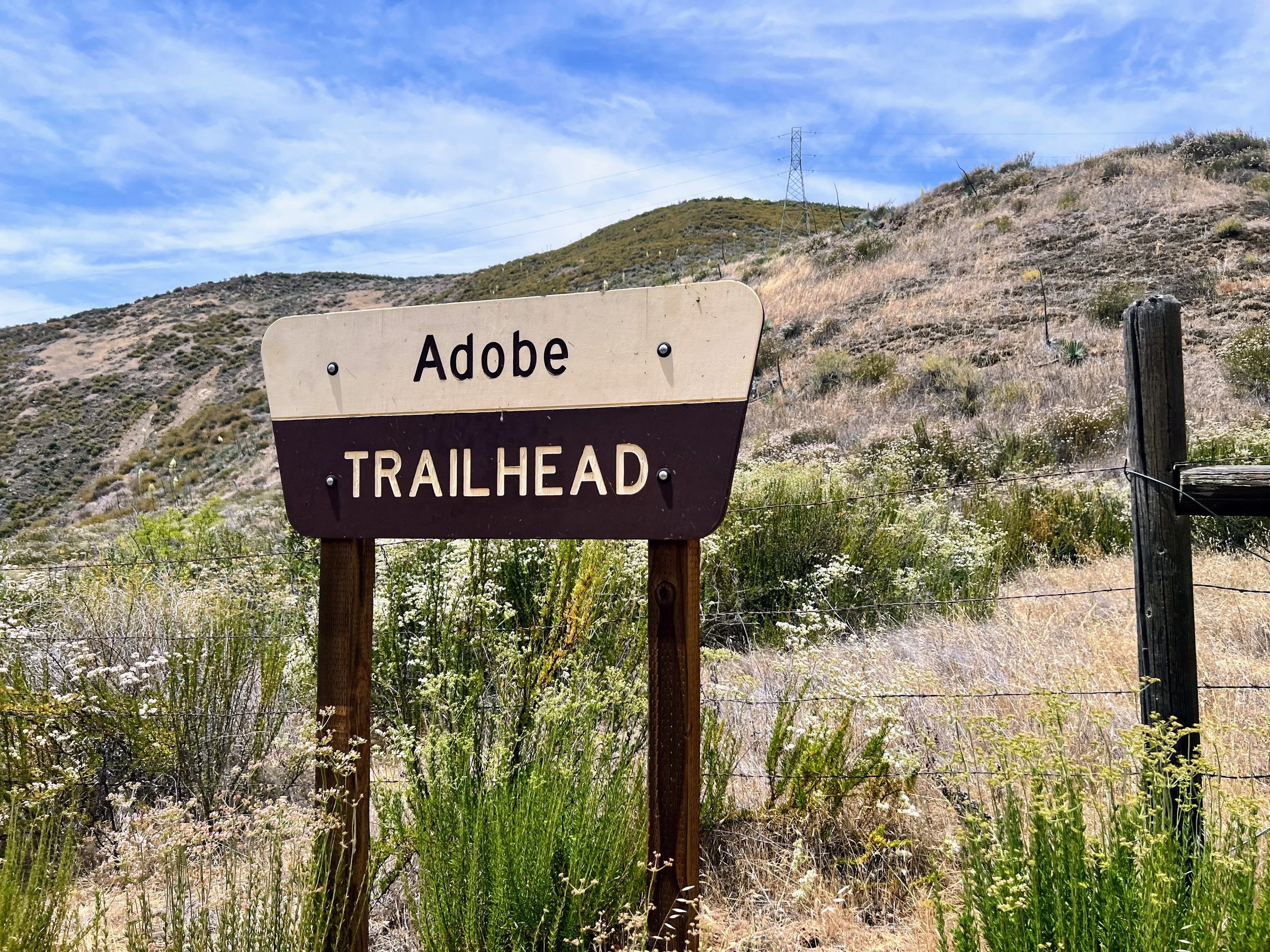
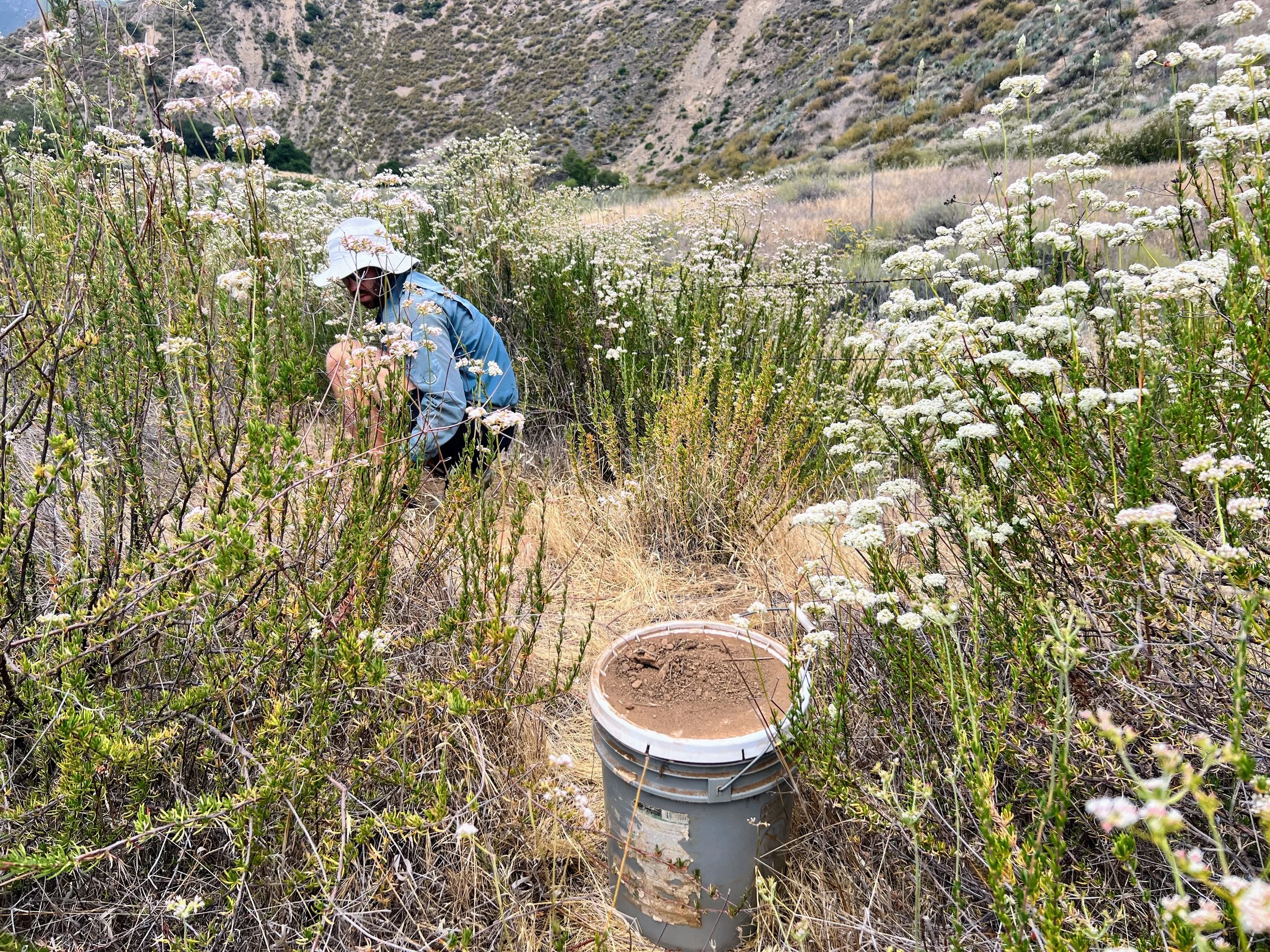
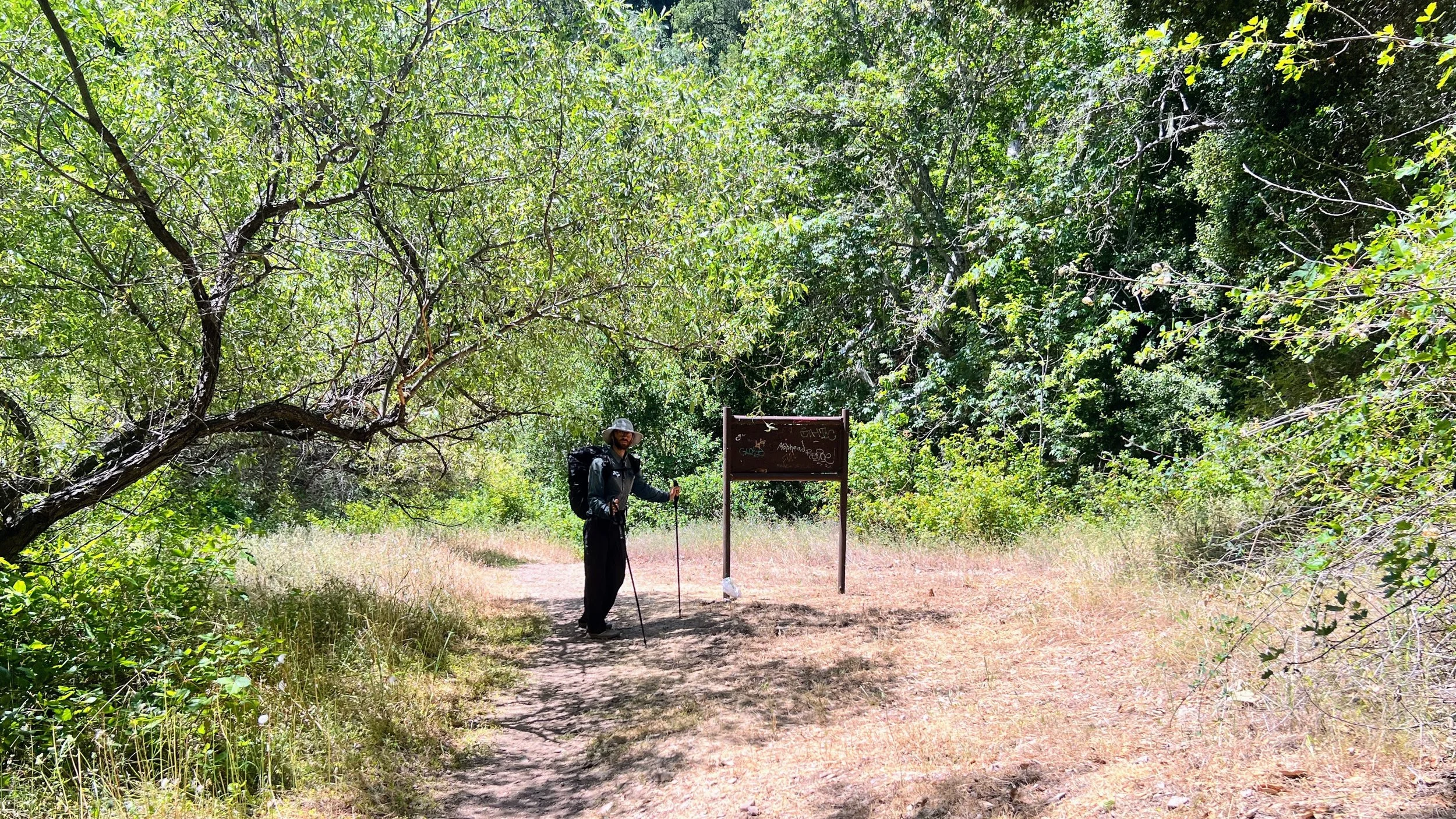
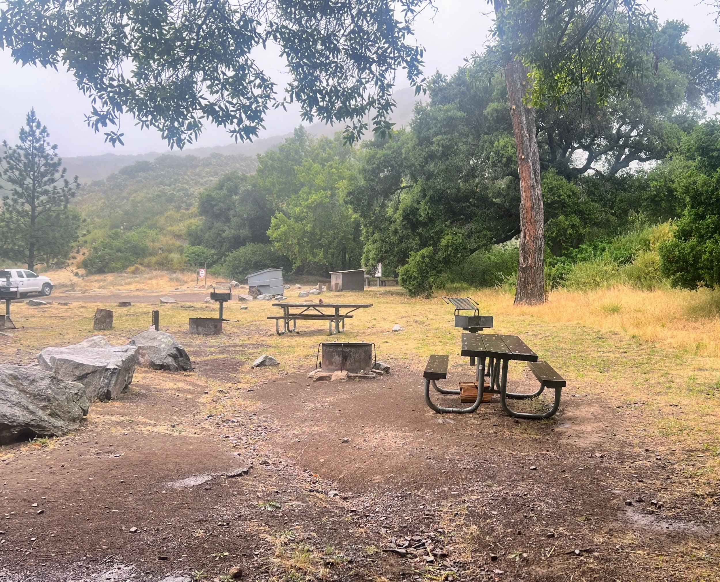
The Adobe Trailhead is empty and looks just as we left it a couple weeks earlier when we drove out to bury our food. I even see the same two unmarked small plastic water bottles tucked into a bush near our buckets. They’re still upright, untouched. I wonder who they’re for.
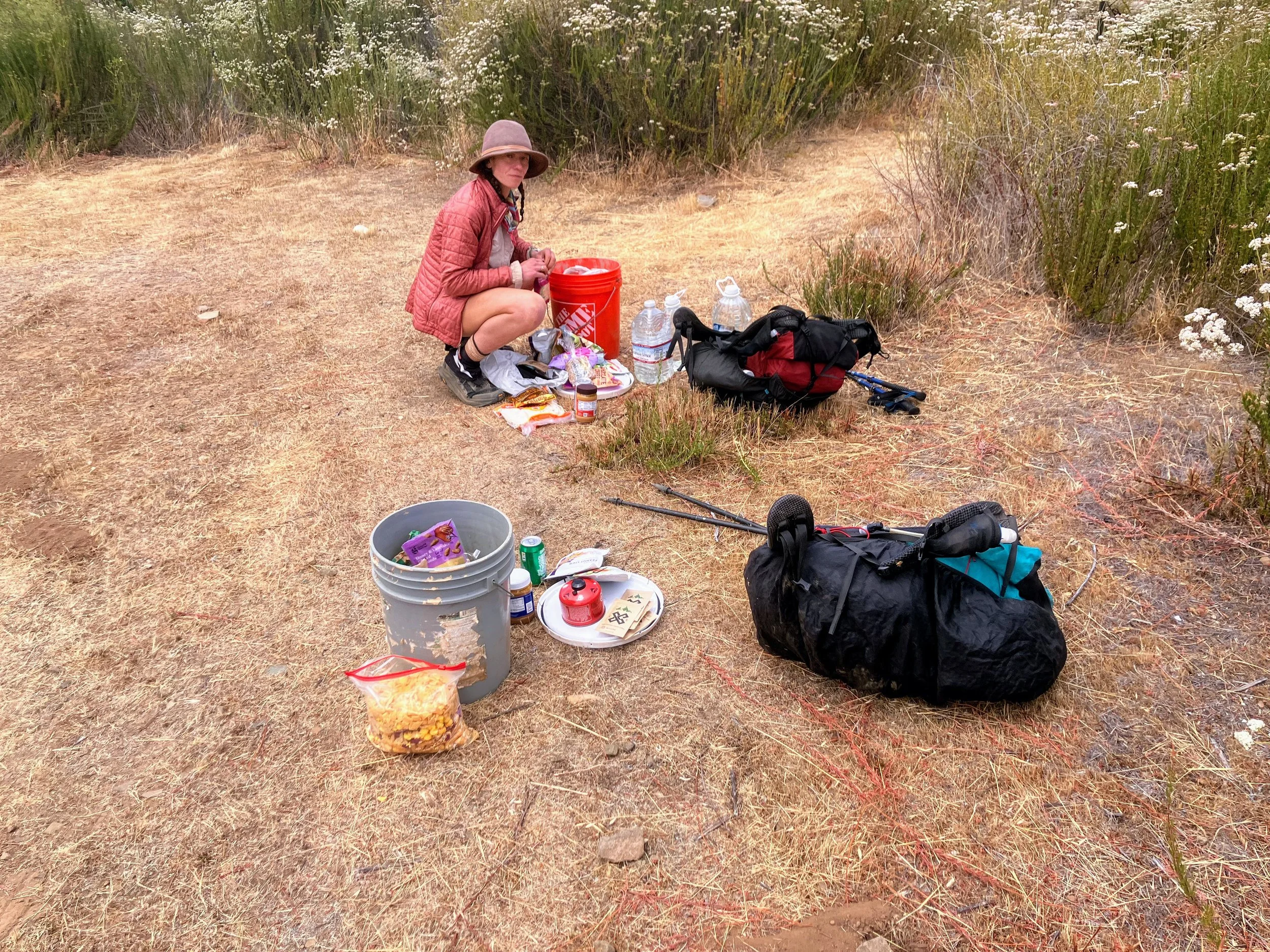
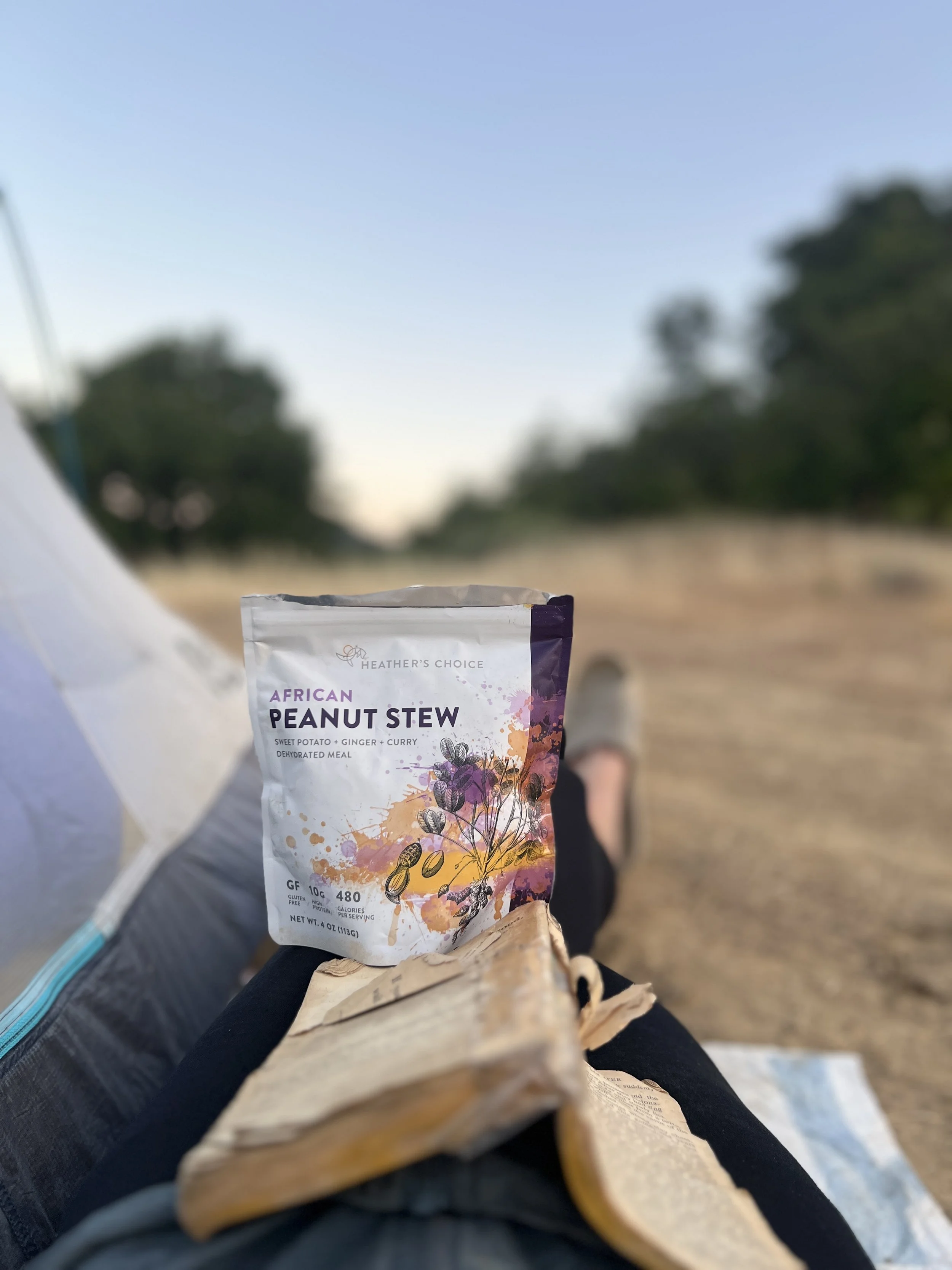
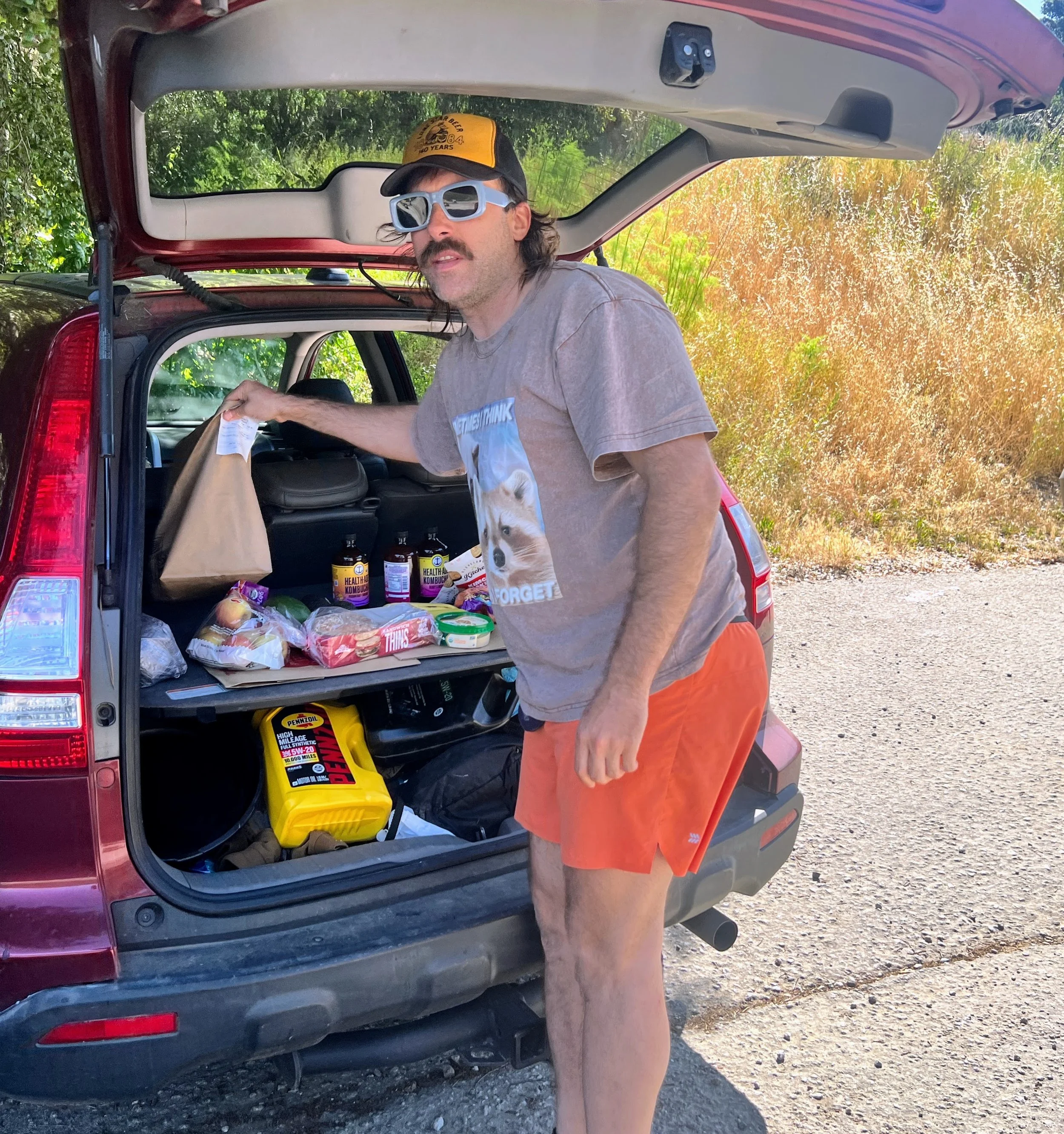
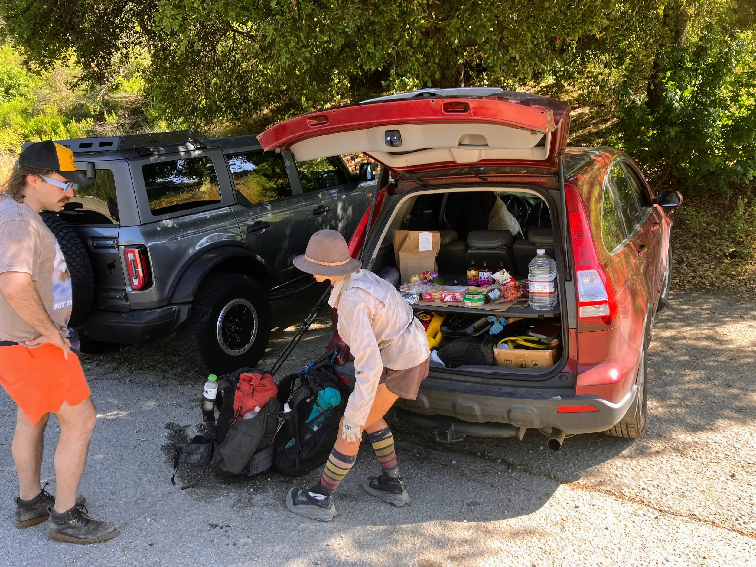
We unbury our buckets and start repacking.
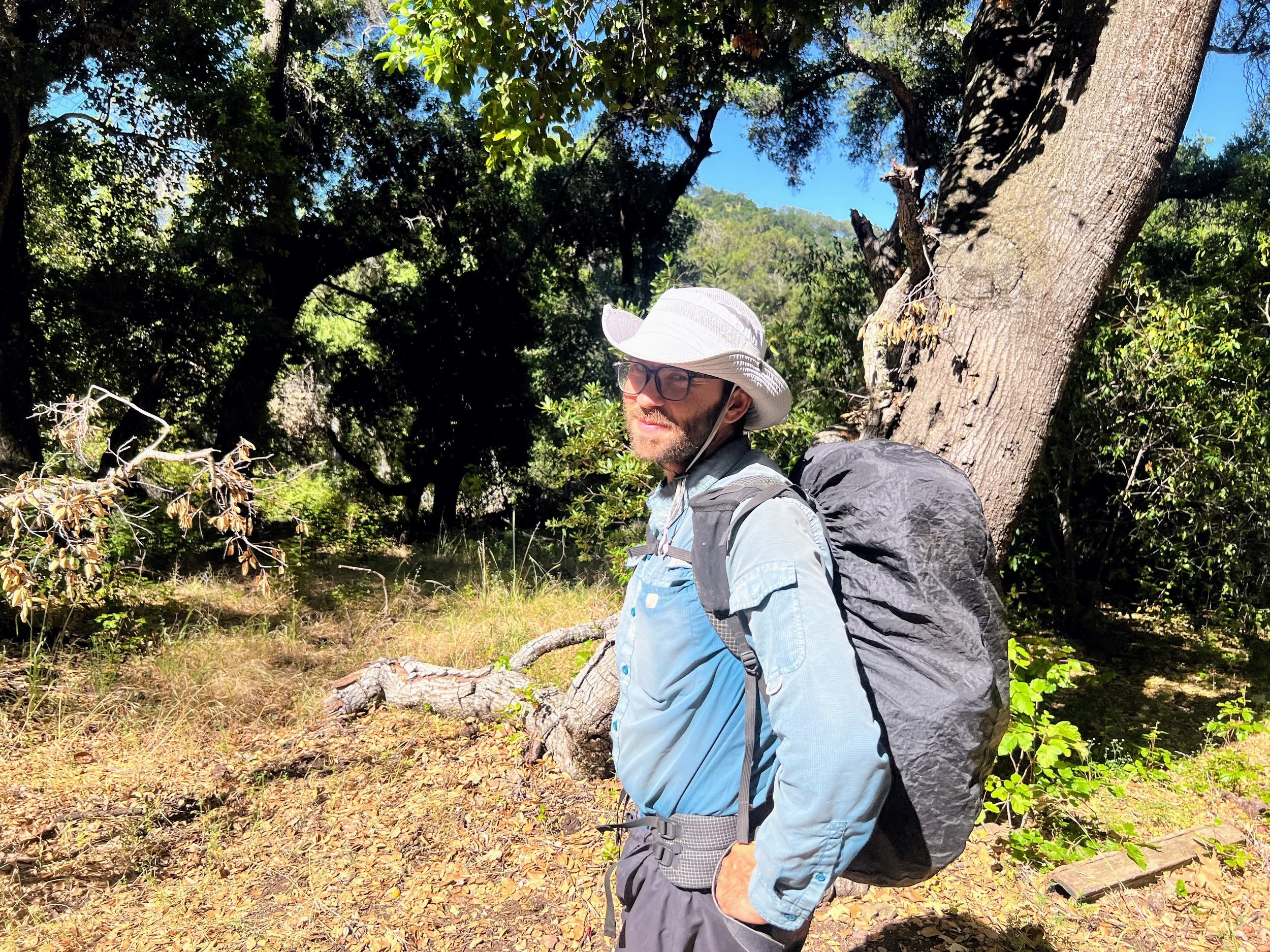
My bucket feels noticeably heavier than Cosmo’s. We estimated about four days of food to get to Morro Bay, then another six days until our next official resupply, a box waiting at Ragged Point Inn Hotel. After the slow, grueling pace we’ve been stuck in, I’m relieved I packed extra, closer to five or six days’ worth. Cosmo’s load looks lighter, and I worry it might not last. The trail has been unpredictable, and though we’re hopeful for easier miles ahead, there’s no way to know for sure.
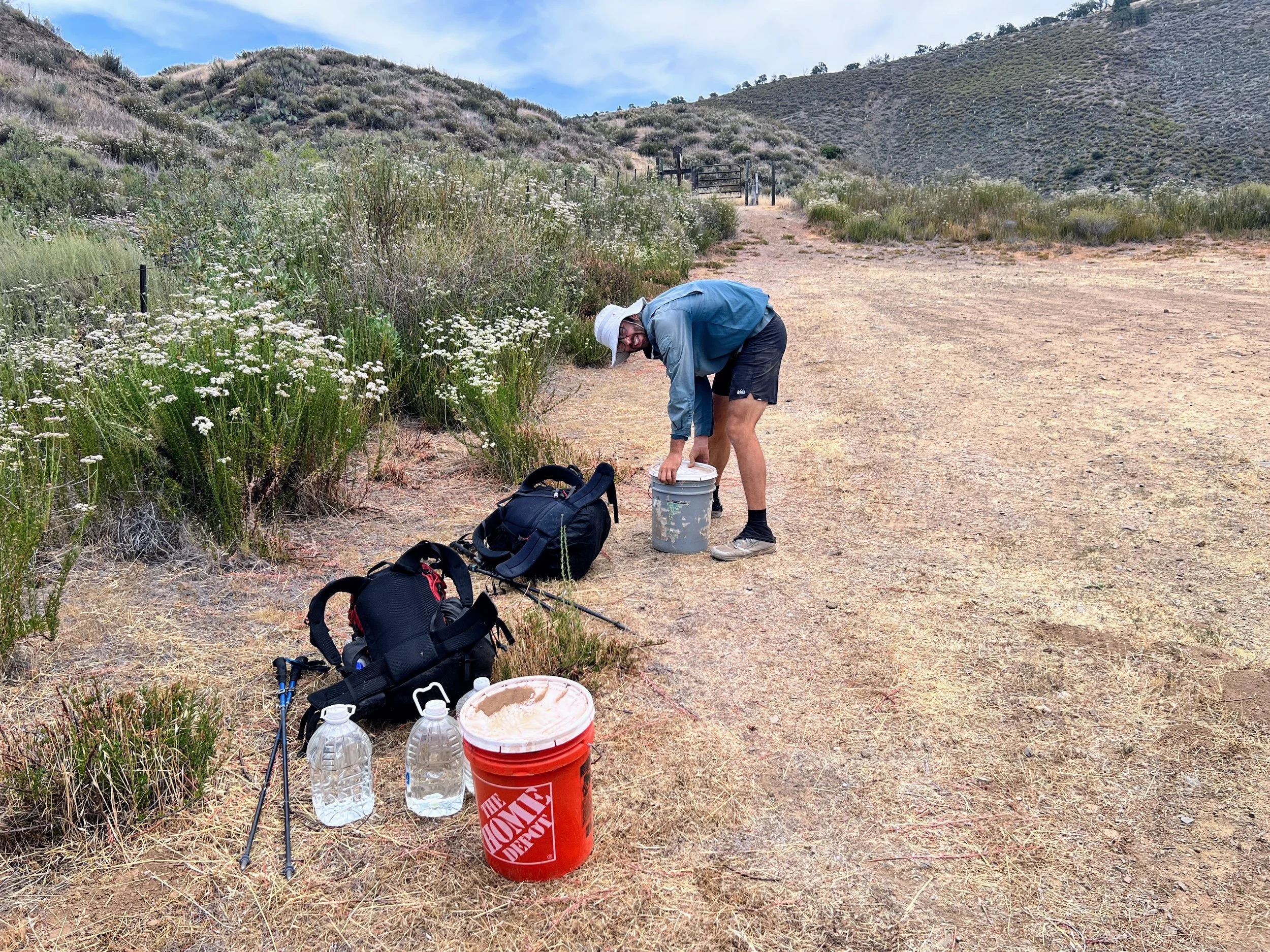
Cosmo packs quickly, focused, methodical, ziplocs zipped, snacks sorted, bag sealed. I’m still crouched on the ground, surrounded by a sprawl of ziplocks and snacks, turning a granola bar over in my hand like it might tell me where to put it.
Cosmo tightens the last strap on his pack, stands up, and starts to pace. I can feel his readiness pulsing beside me. He doesn’t say anything at first, but I can tell he’s holding something in. I keep my head down and try to stay locked in, focus, just finish packing.
“Want to drink one of these beers?”
“Not really,” he says, flat.
I open it anyway, he stops pacing, and we pass it back and forth.
He’s been quiet, watching me pack, biting his tongue. Then suddenly, without warning, he blurts out, “We have basically the same amount of food, and yet it takes you twice as long to pack. Why?”
I don’t look up. “I don’t know,” I say, feeling defensive while shifting a bag of potato chips from one side of my pack to the other, then back again. Maybe it’s time I lean into the trail name Futz after all.
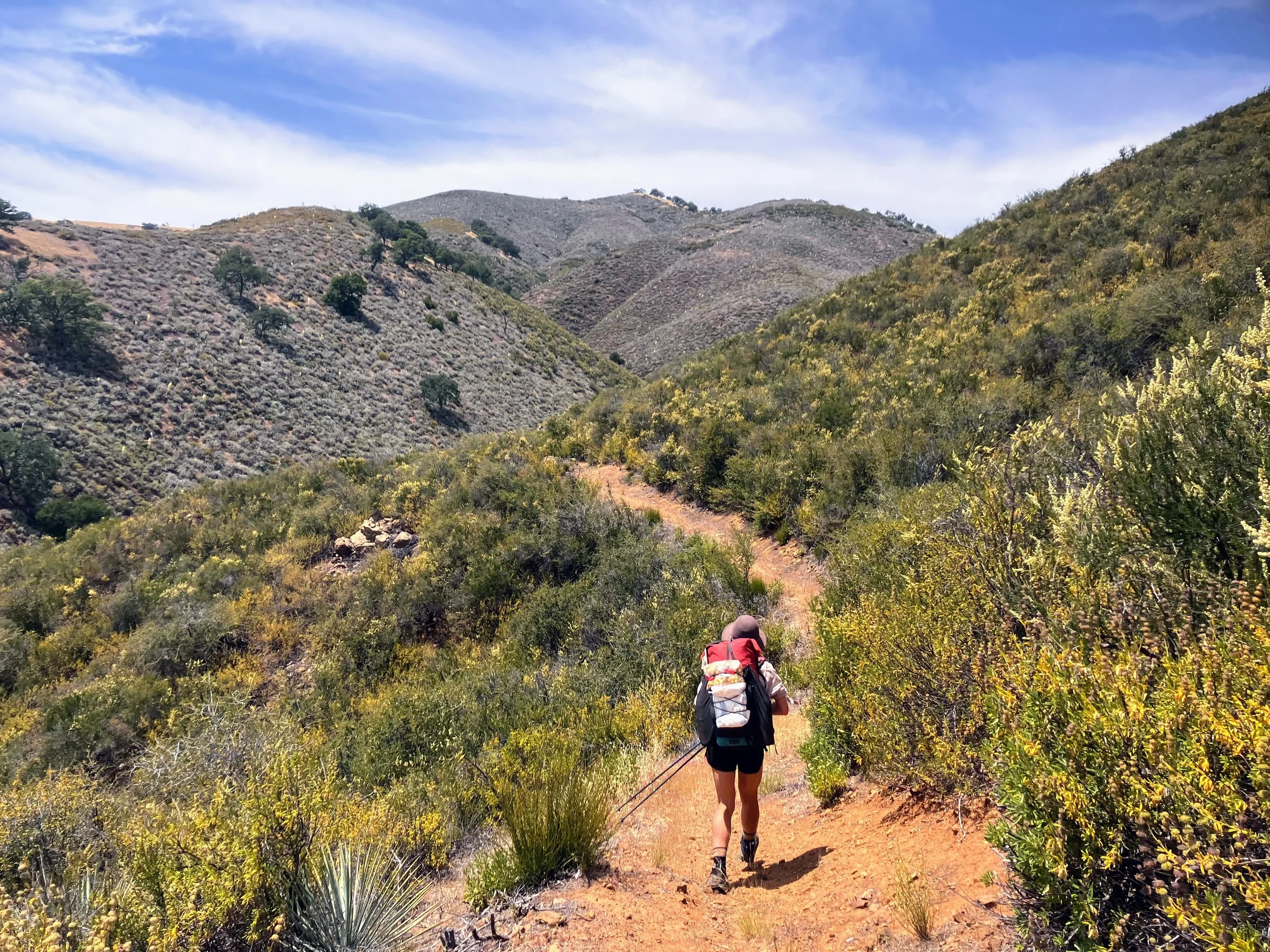
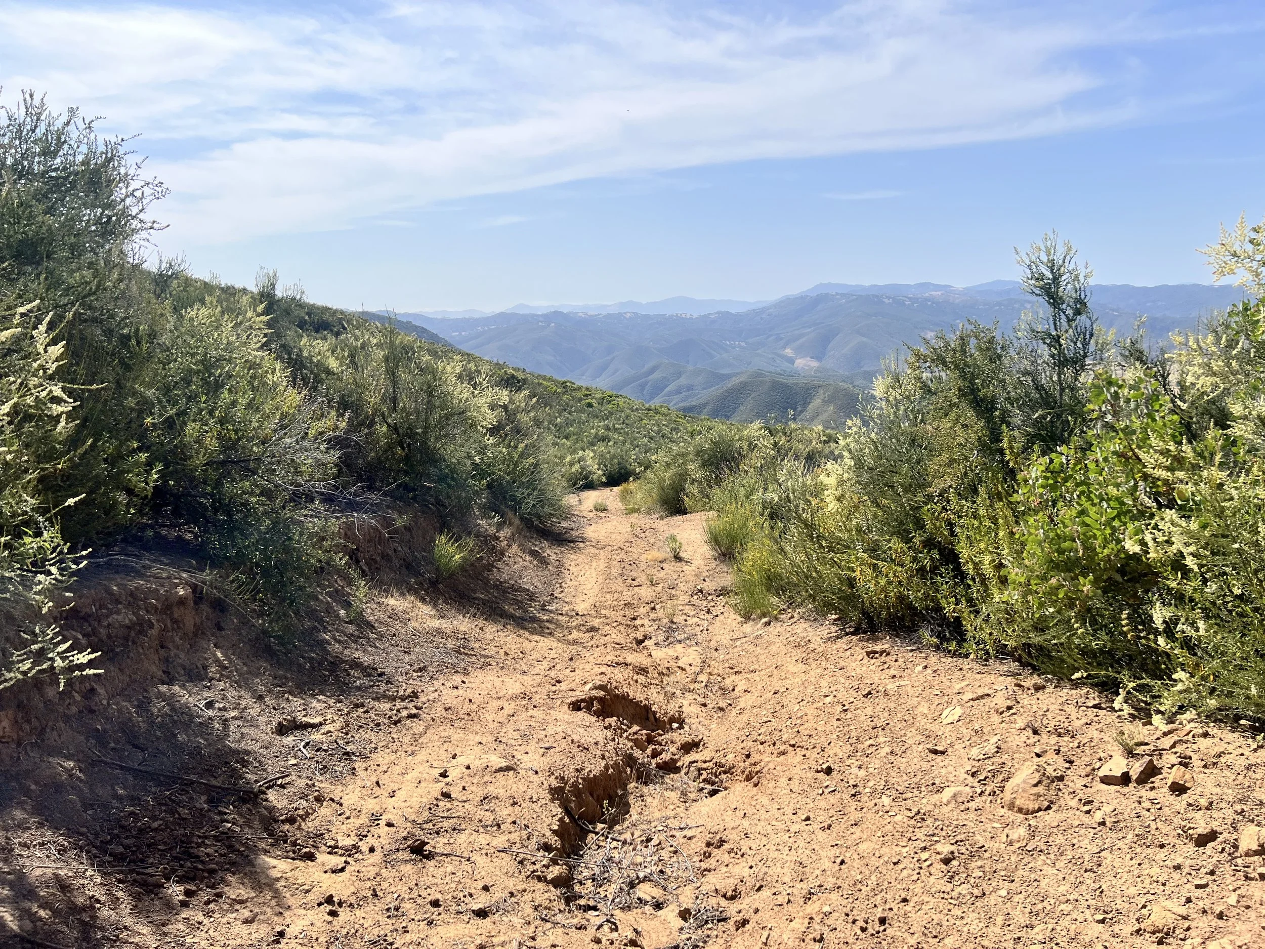
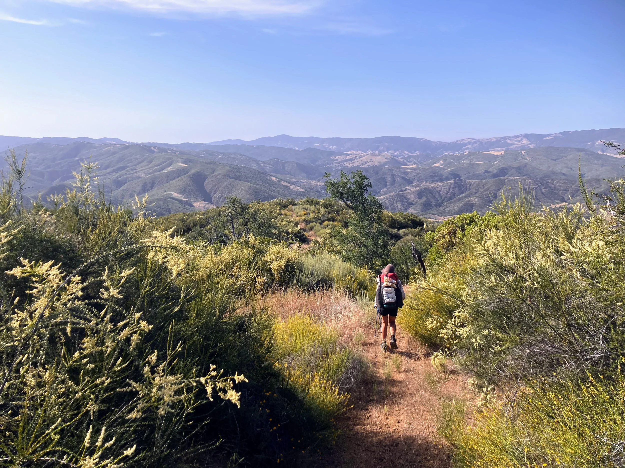
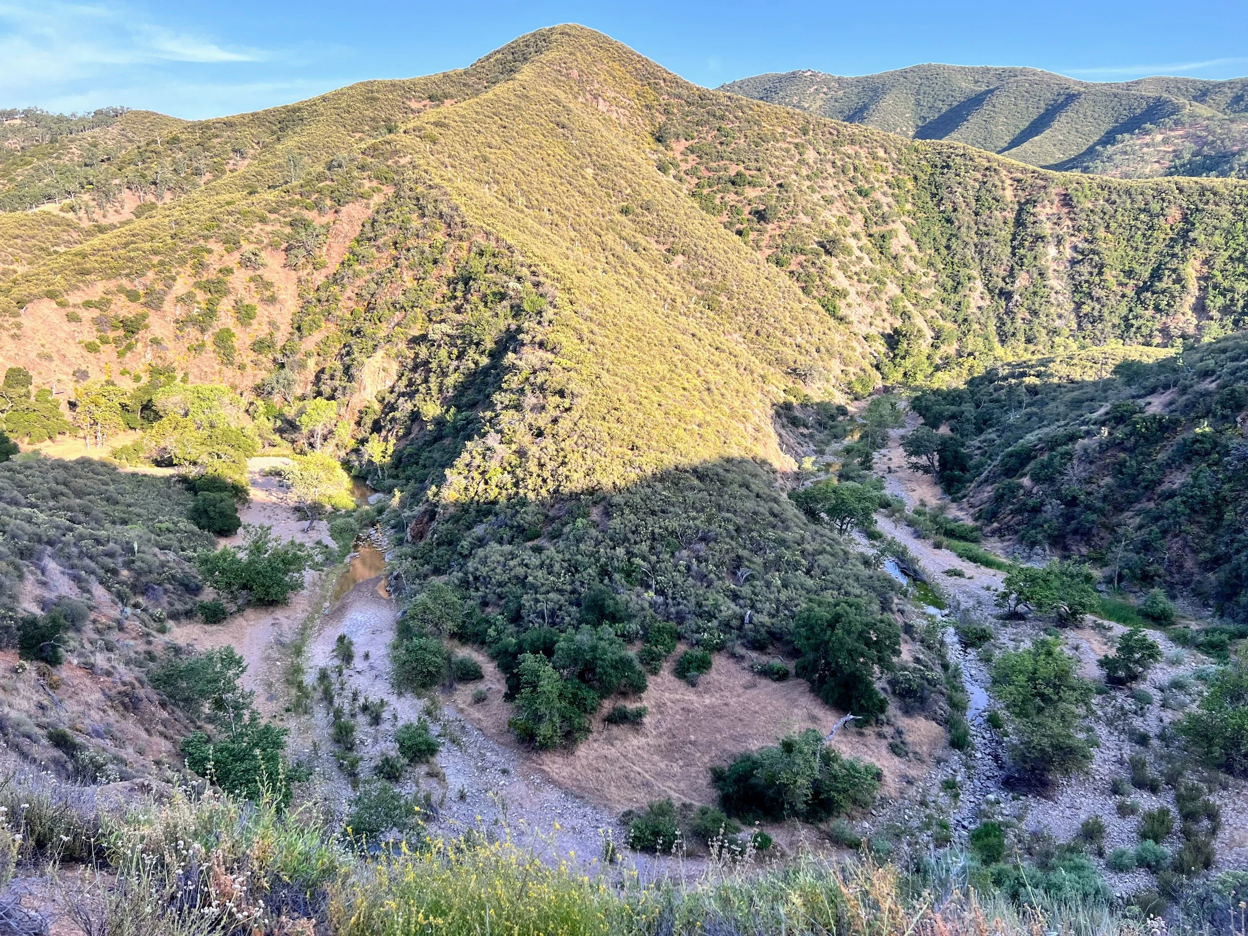
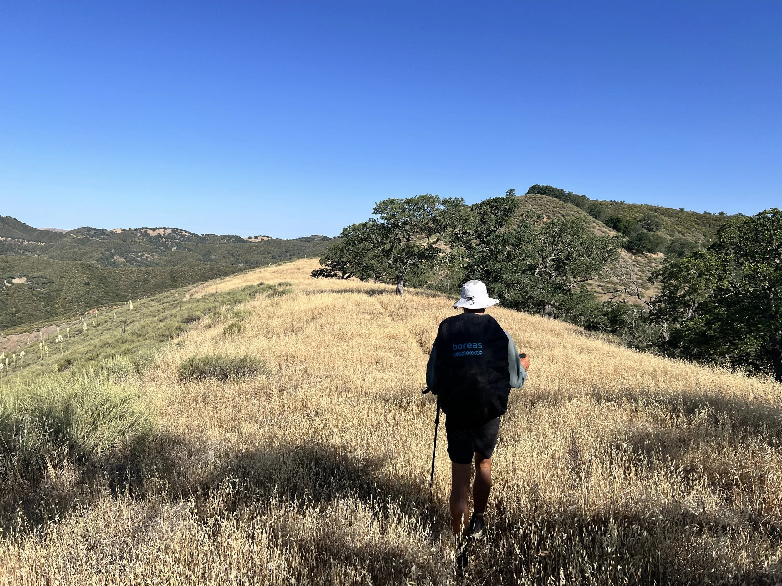
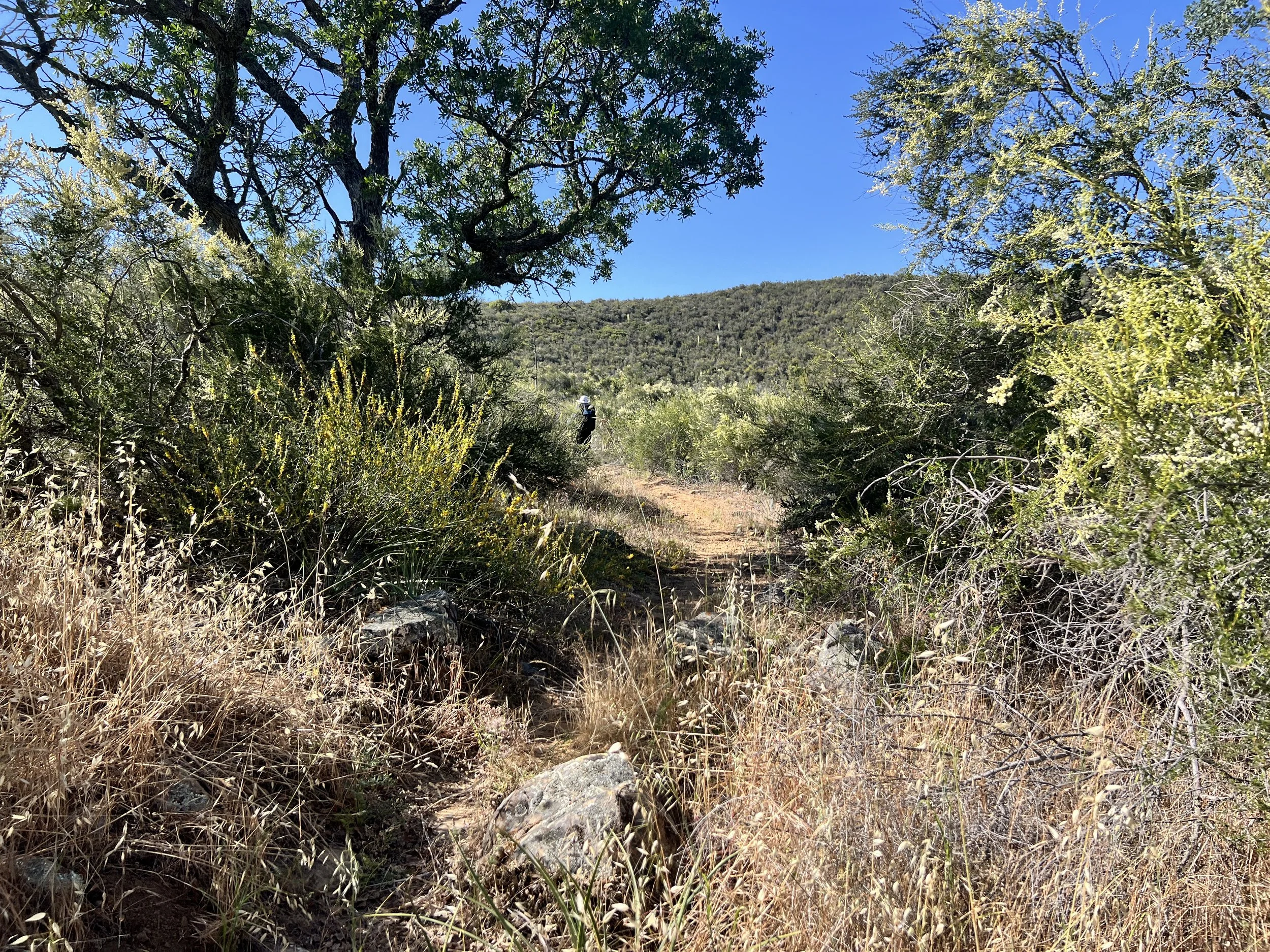
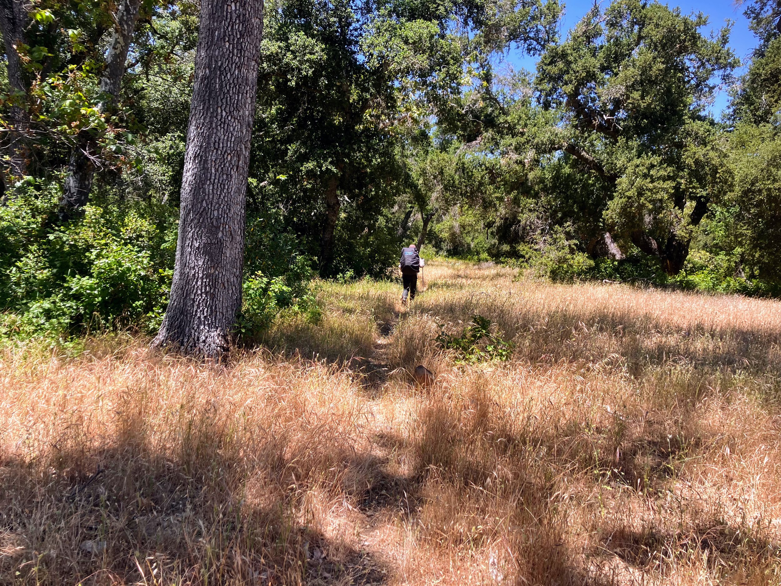
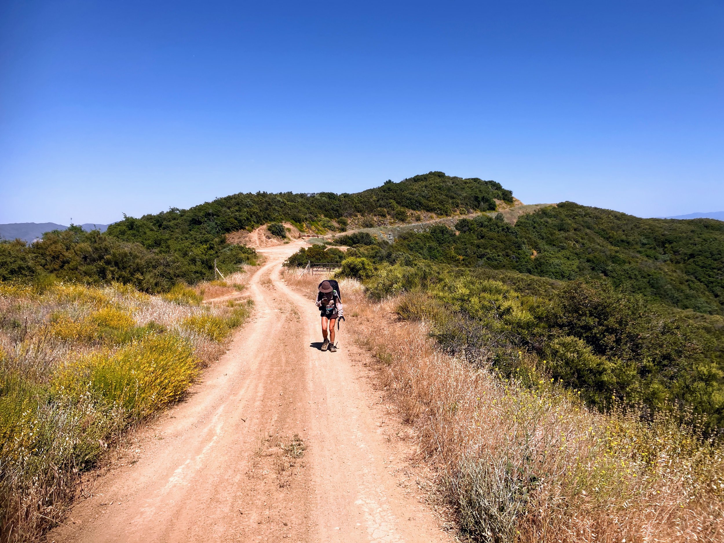
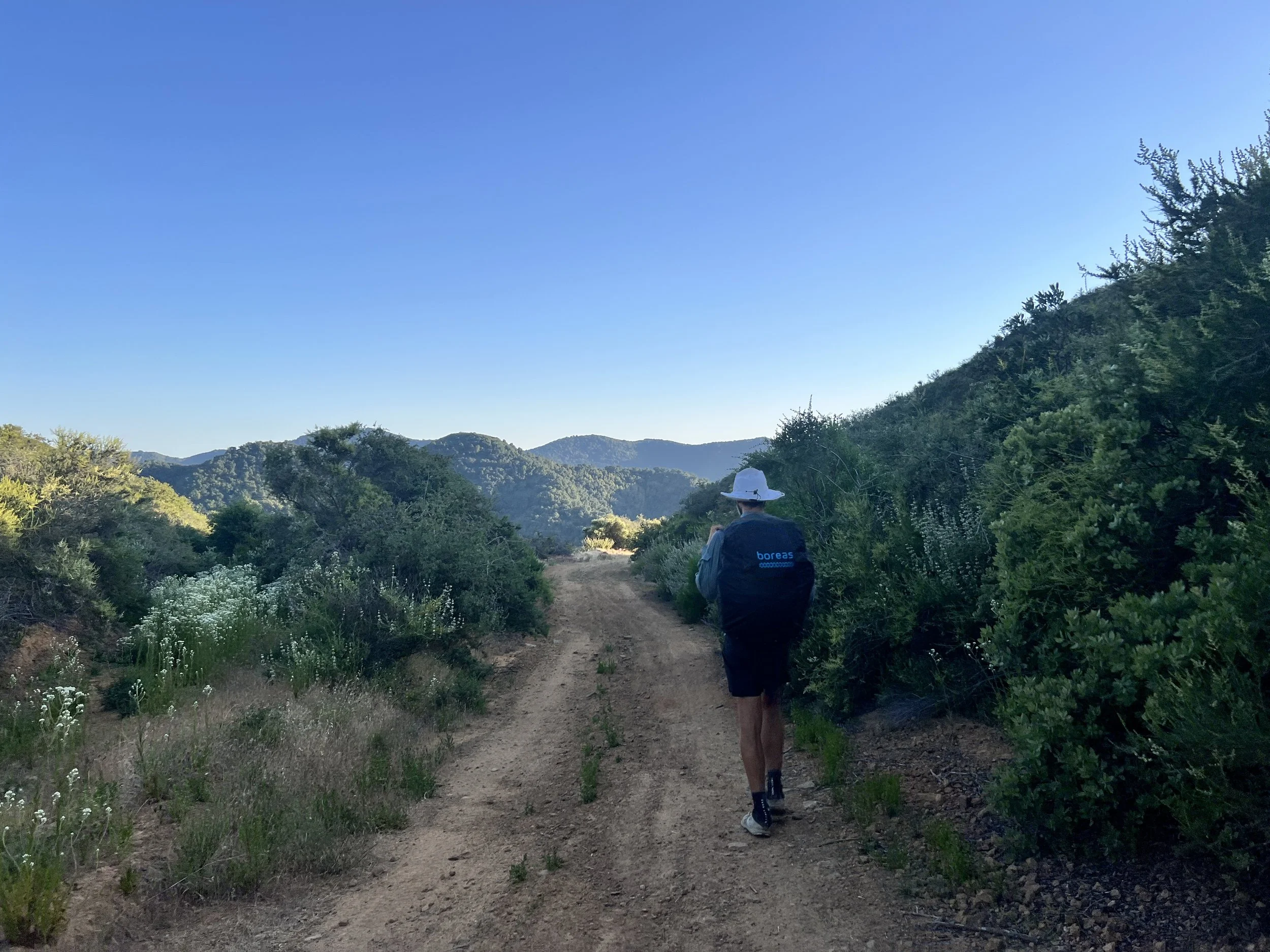
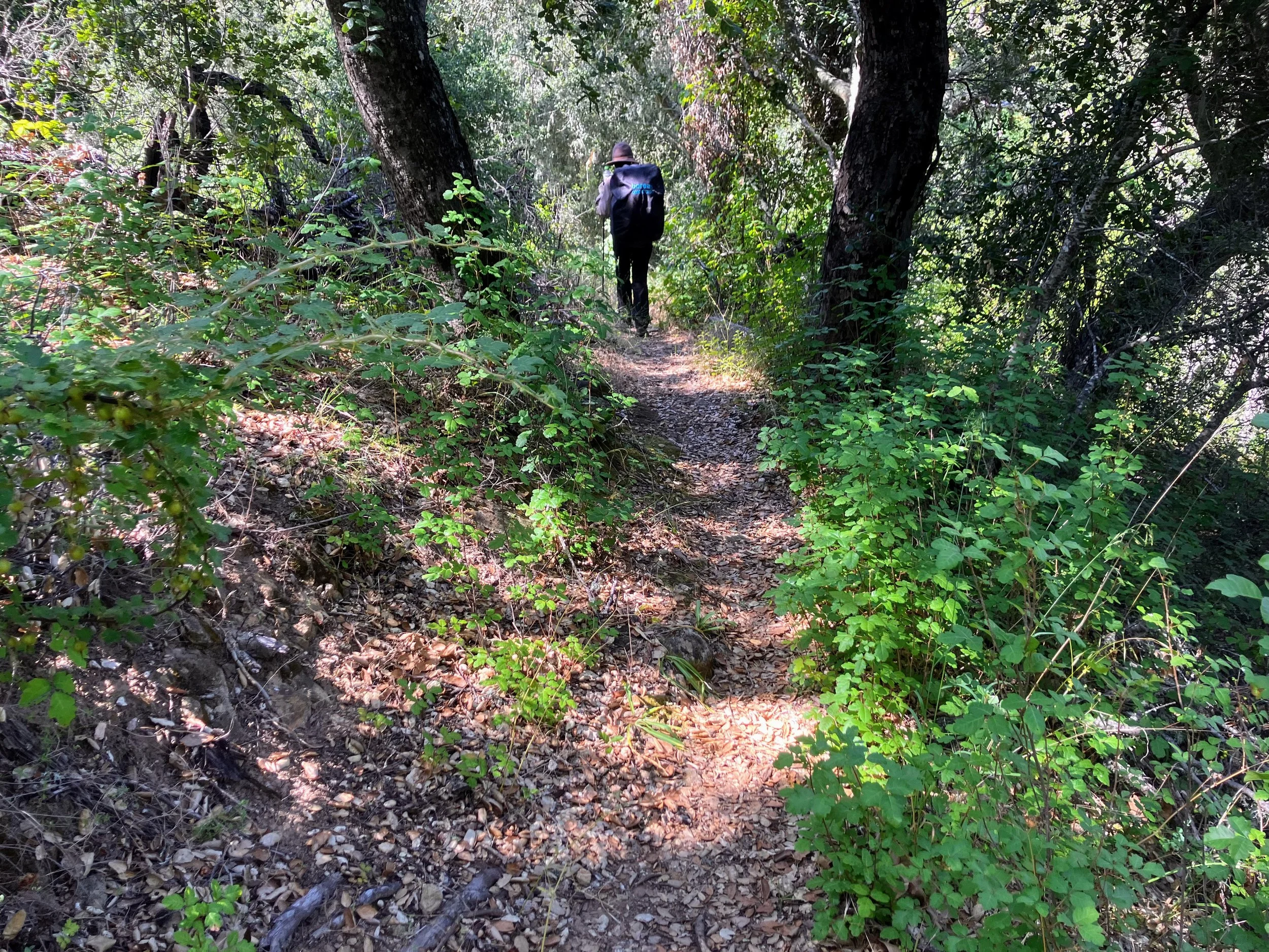
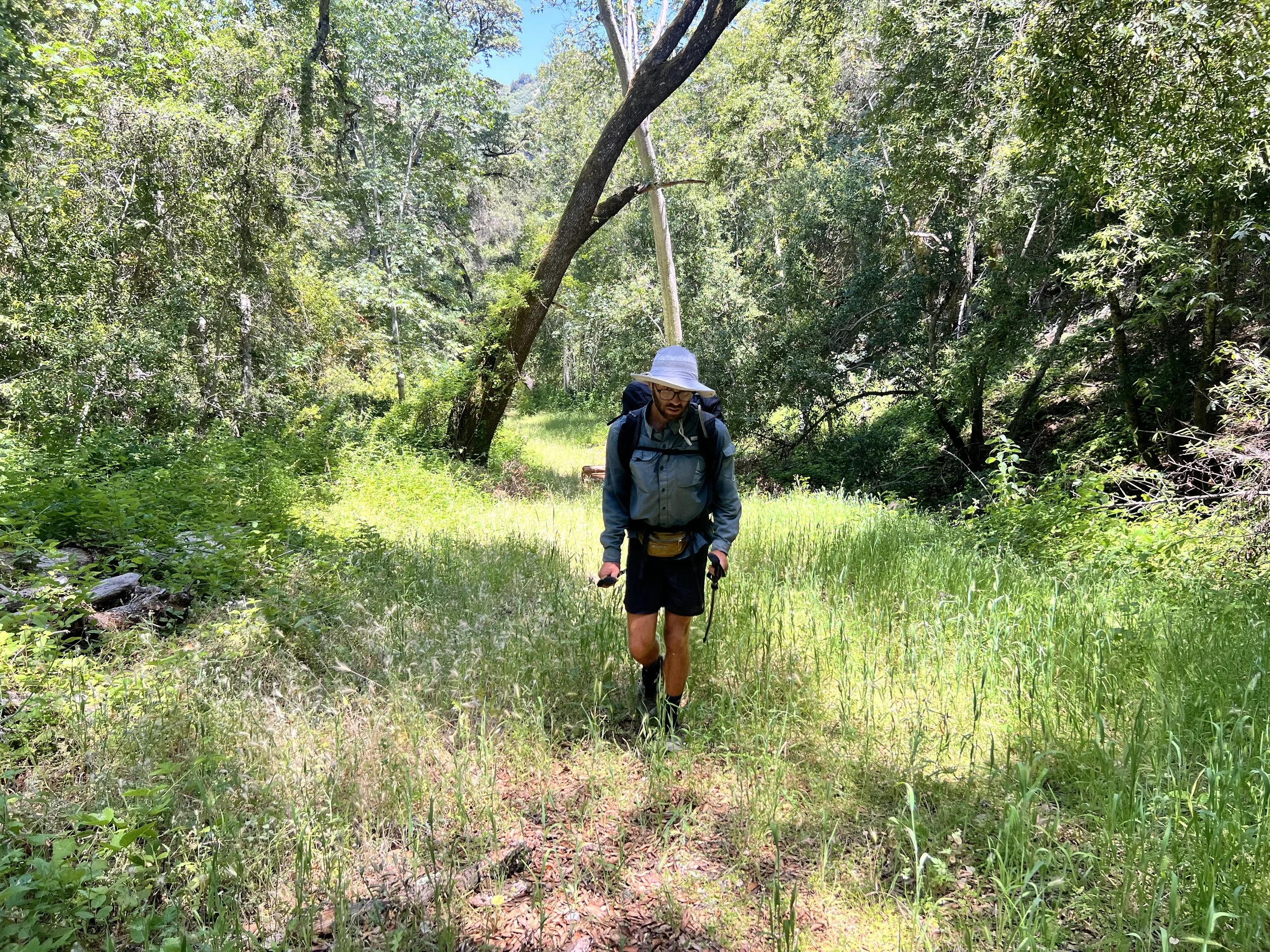
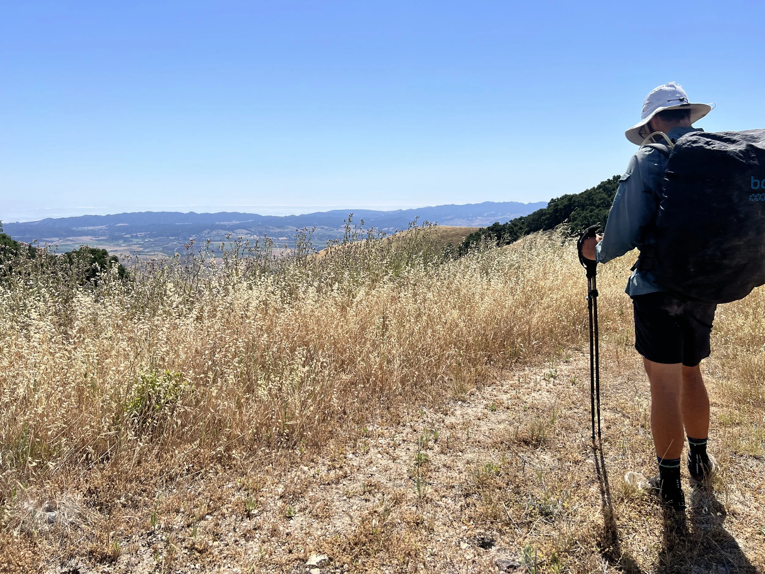
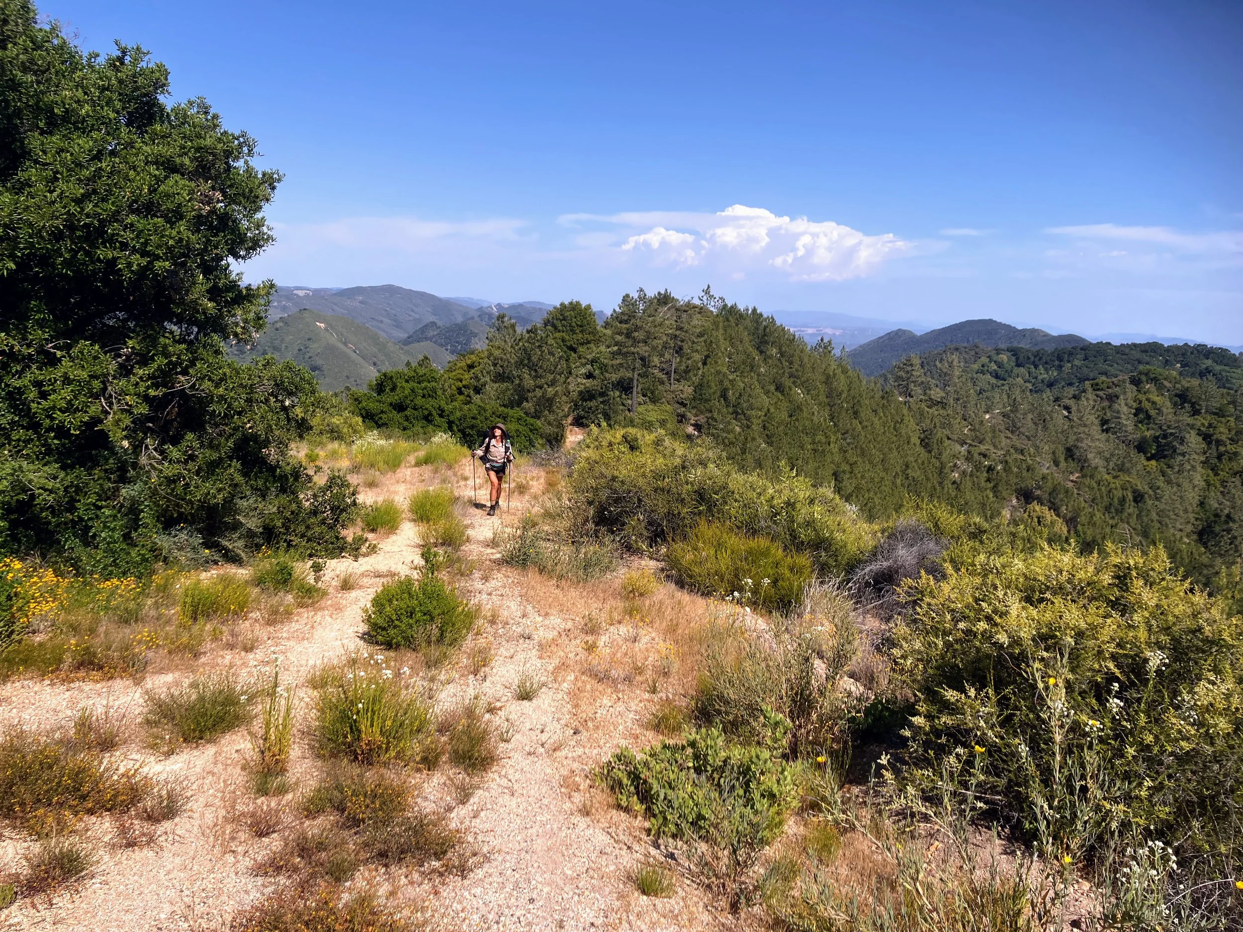
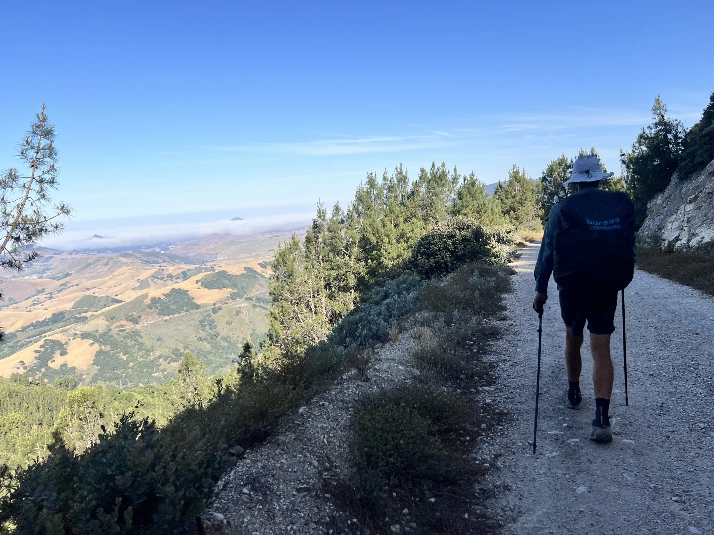
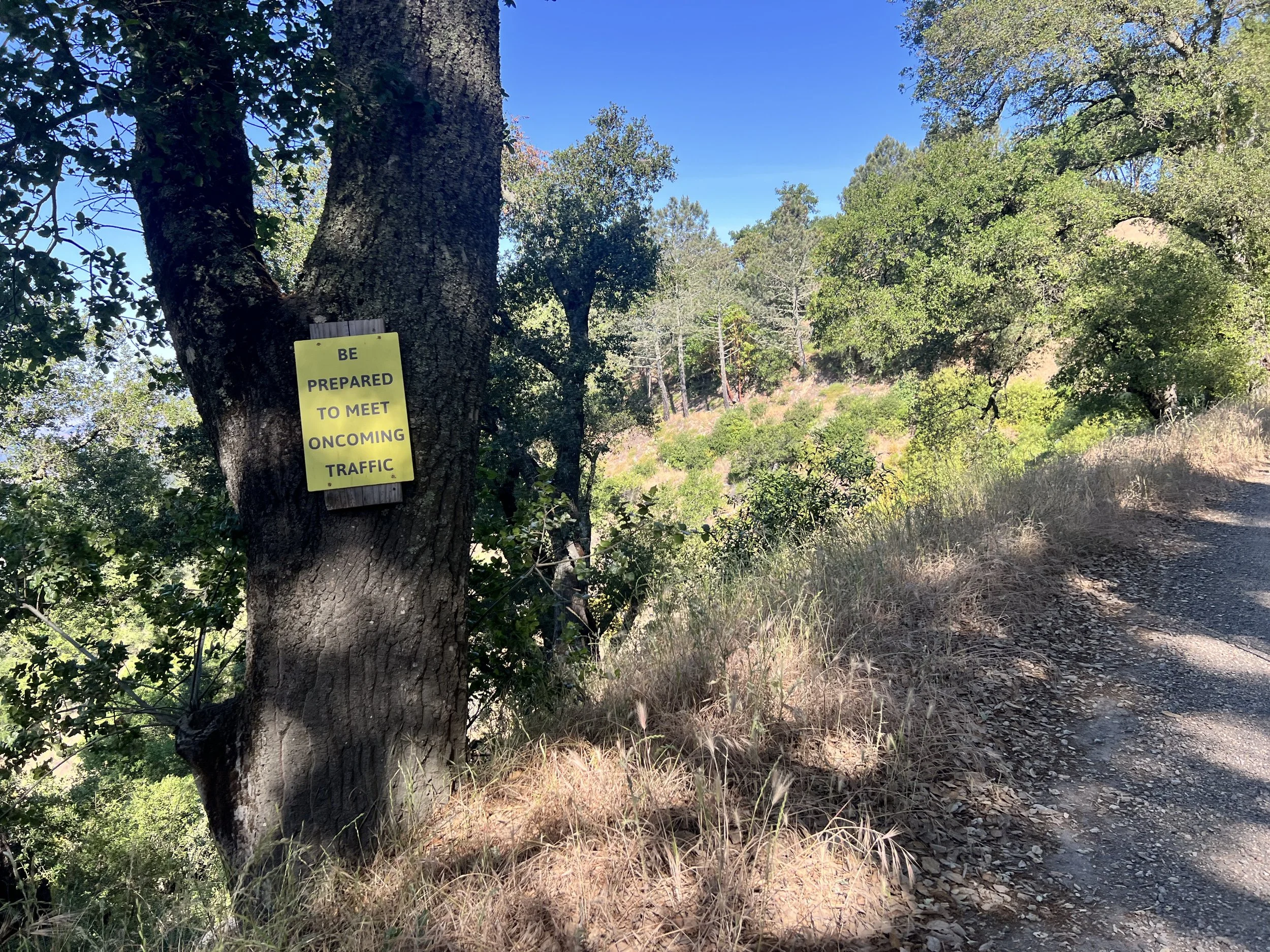
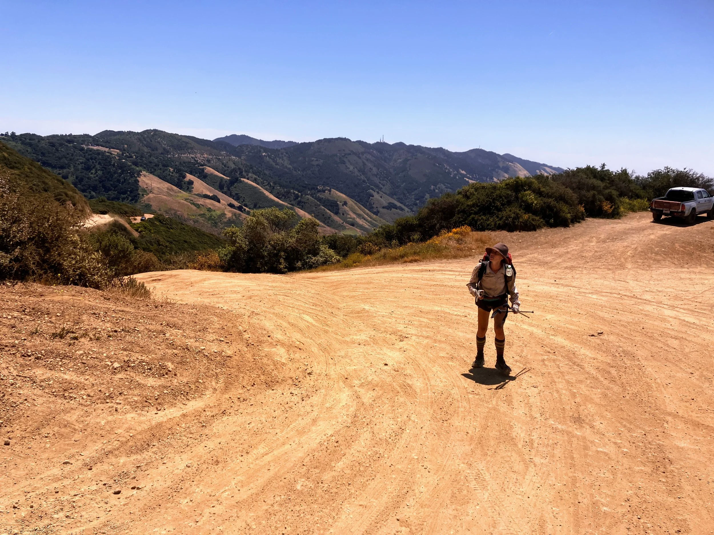
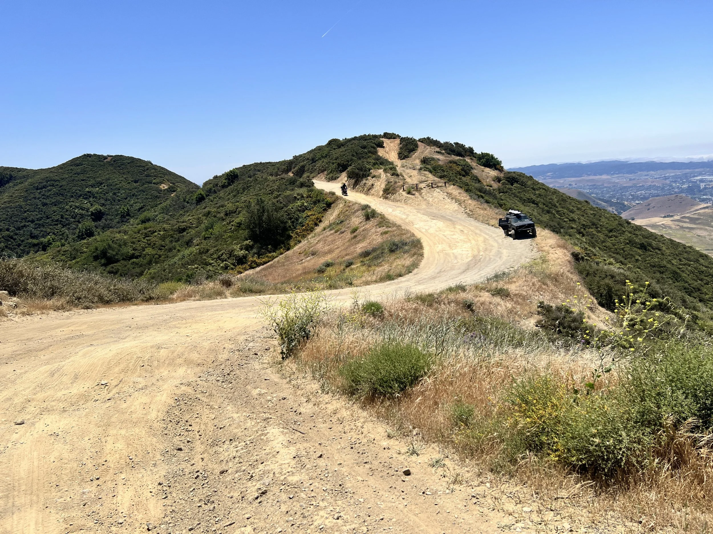
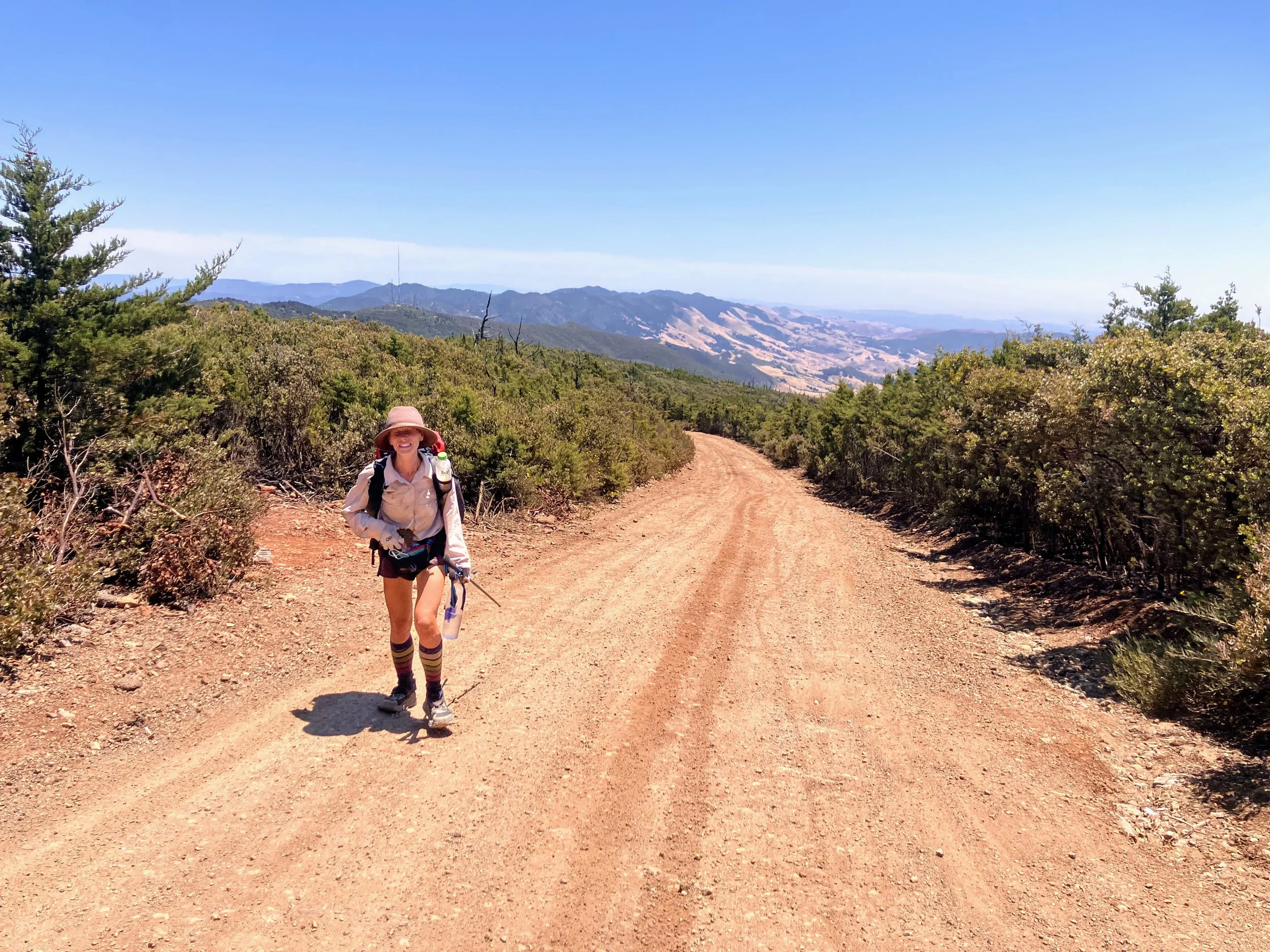
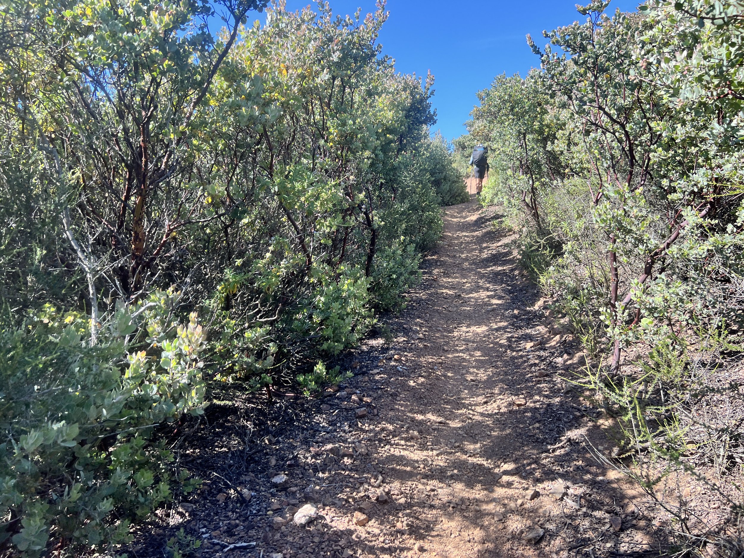
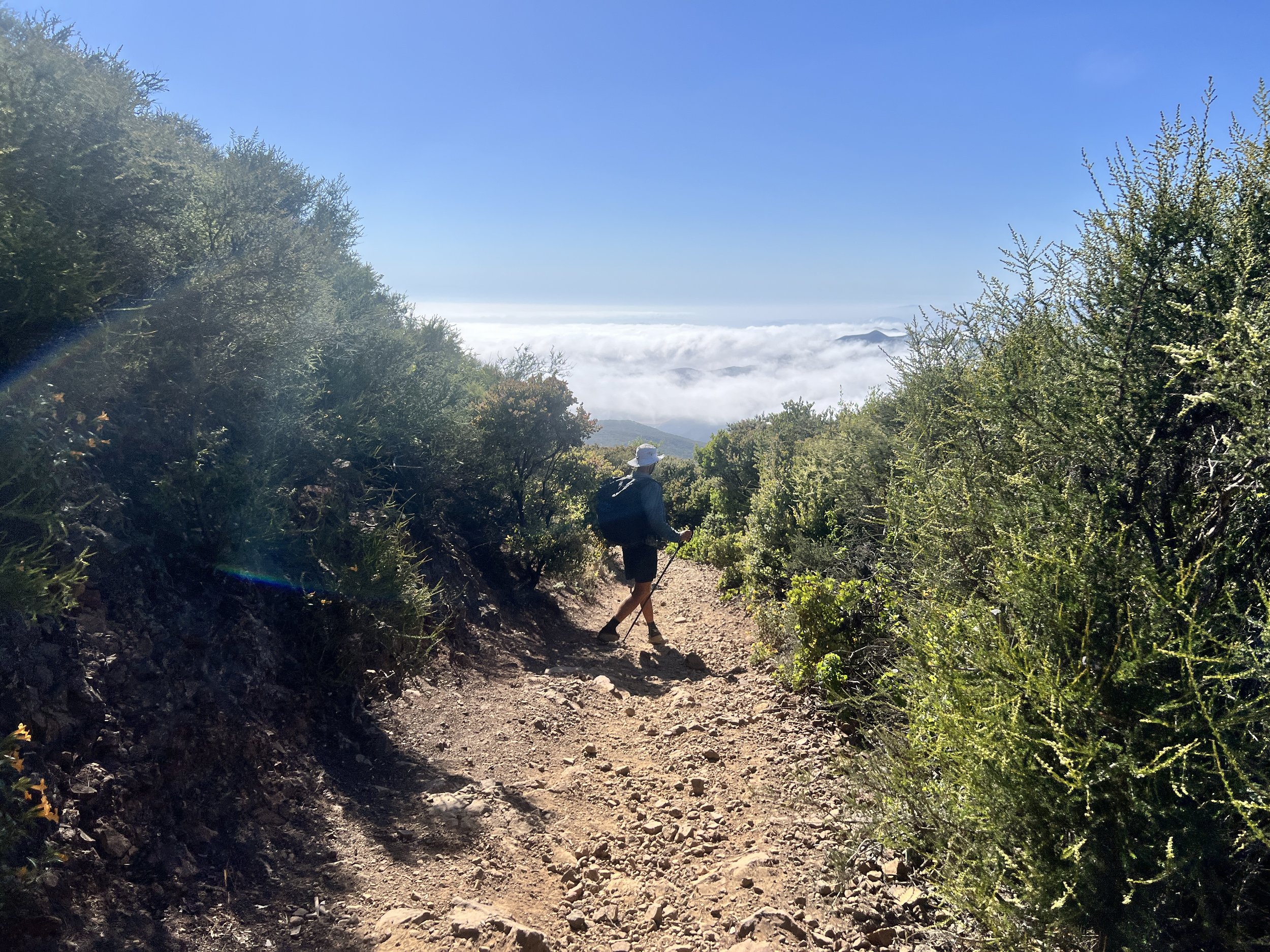
My pack feels heavy again, mostly because of the five liters of water I’ve added on top of the food. The Adobe Trail starts with a climb, back-and-forth over sandy switchbacks winding steadily upward.
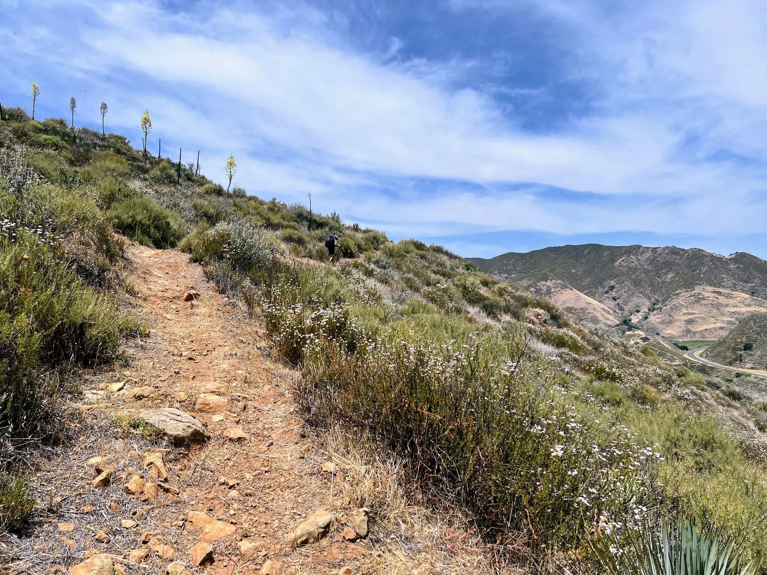
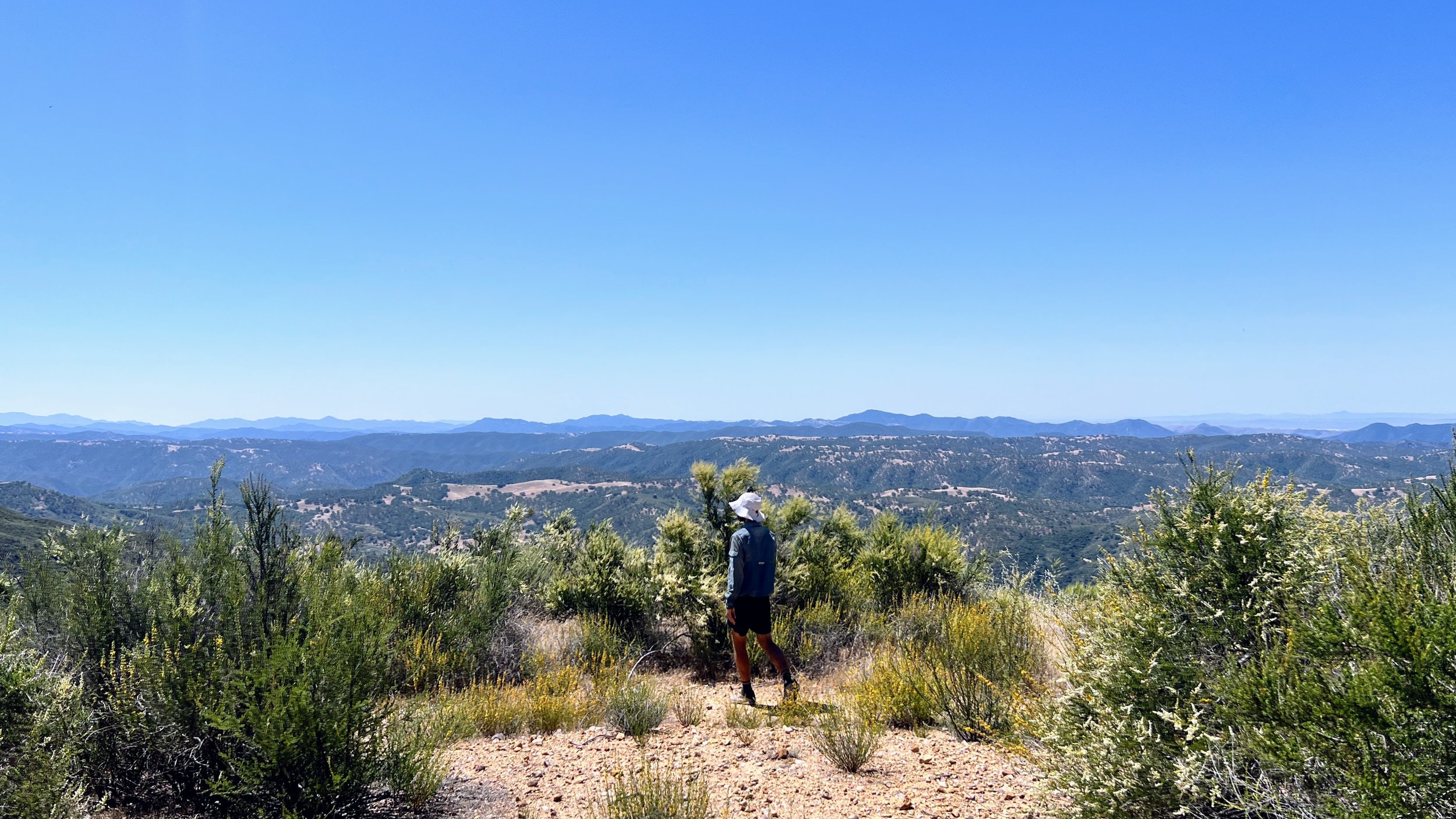
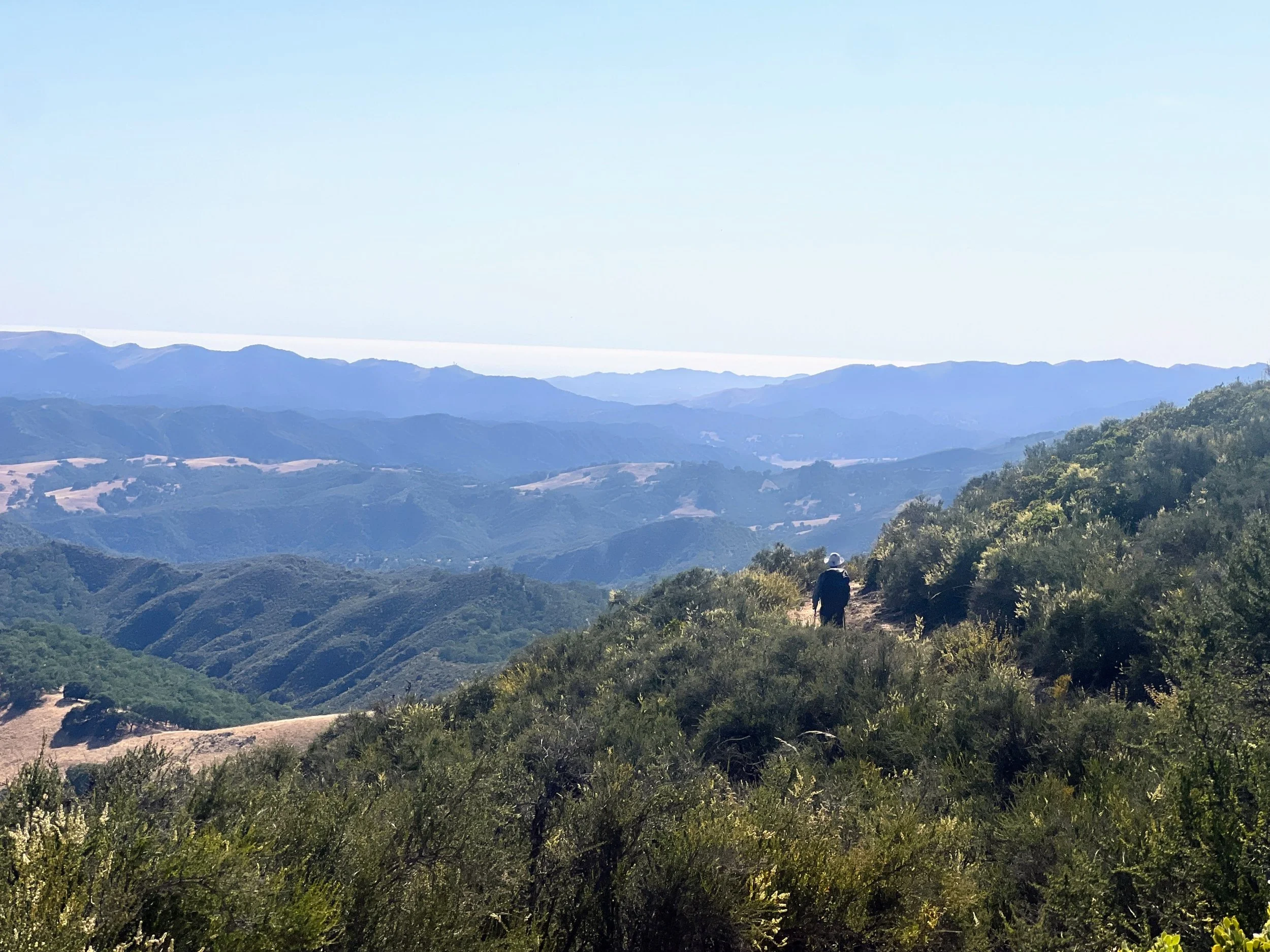
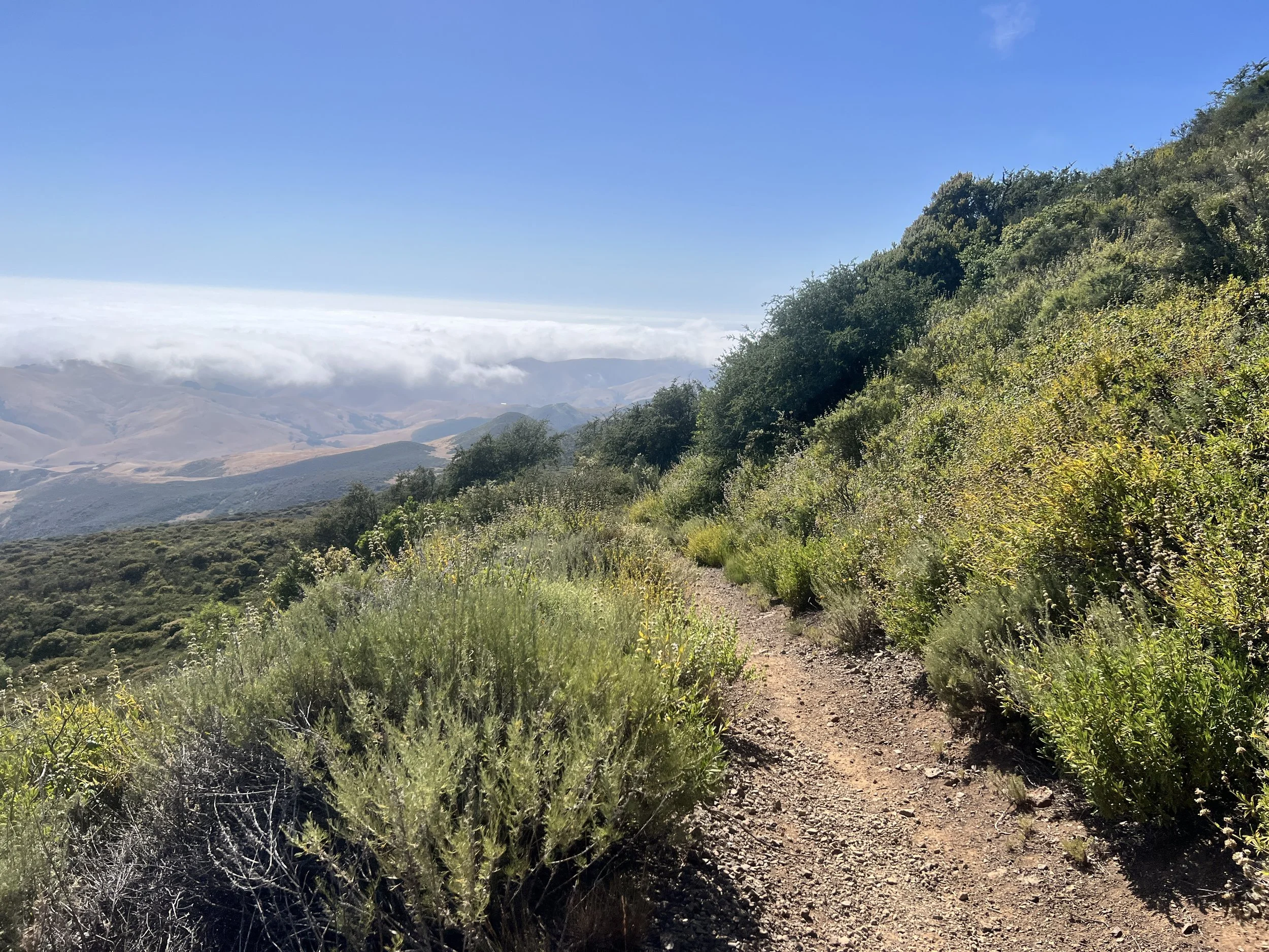
As we gain elevation, the views open into wide panoramas, and Highway 166 shrinks below us.
I imagine these hillsides must be stunning earlier in spring, bursting with colorful wildflowers. For now, the views are still nice, but in that sun-baked, faded kind of way. The hills wear a dry coat of brittle shrubs and faded grasses. Still, I’m not slogging through a creek, and I’m actually on a trail I can see. I’ll take the win.
I get a bit of cell service and see a message from my Arizona Trail hiking buddy, Spacecase. He’s been working in the Santa Cruz area and wants to do some trail magic for us in a few days. Cosmo suggests a potential meeting spot, and I think, what a treat if it actually works out! I text him the info and then head back into the no-cell-service world.
I make it just 0.8 miles before I’m sweating through my clean clothes. Putting on fresh gear after a zero day always feels like a reset. Everything’s dry, my pack feels organized, and I almost feel human again. But it doesn’t last. Sweat and dust take over fast, and the clean feeling disappears.
I grab a granola bar from my bag and laugh at how excited I am to eat it. Just a few weeks ago, this same food made me gag while packing it at home.
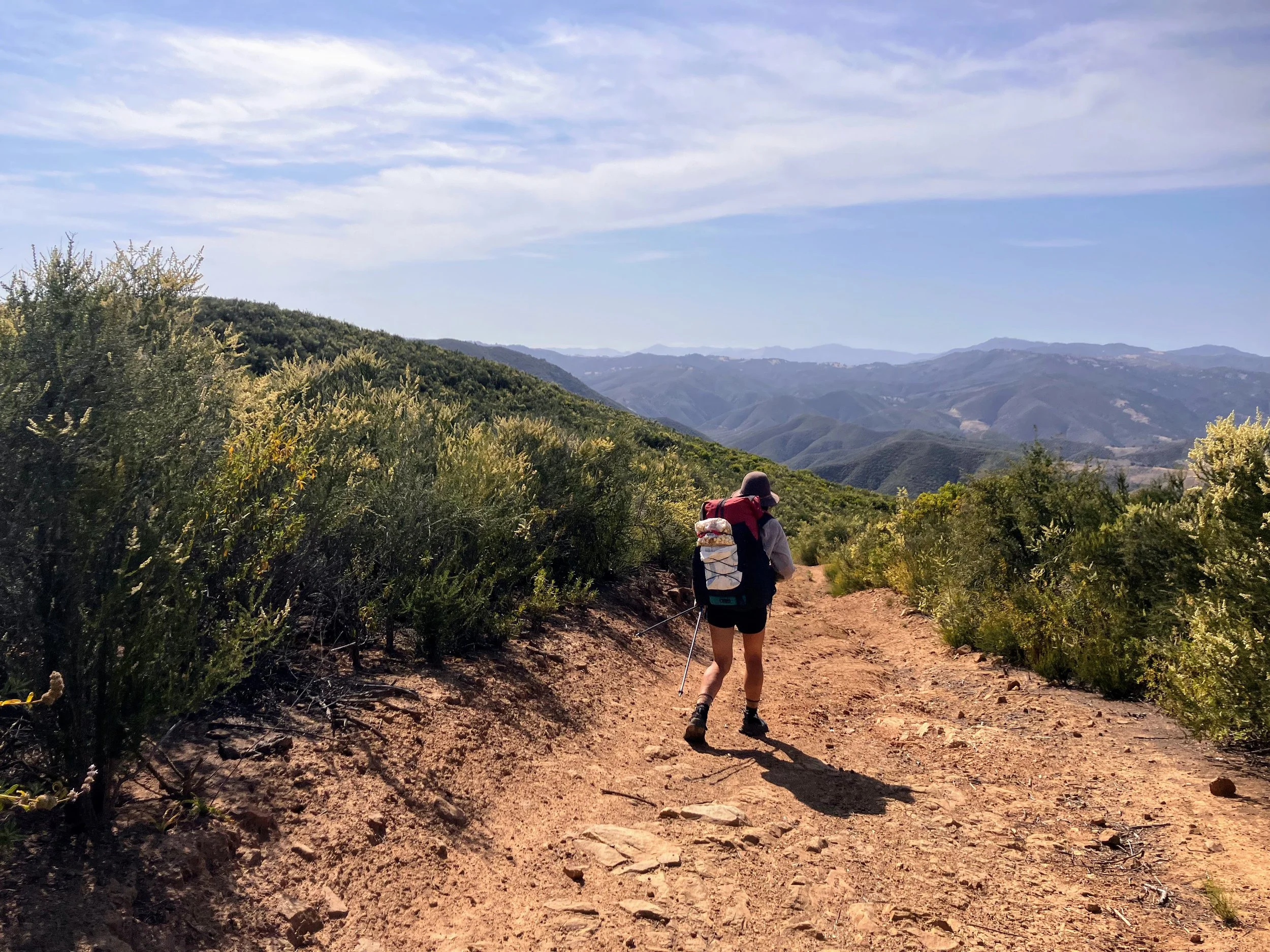
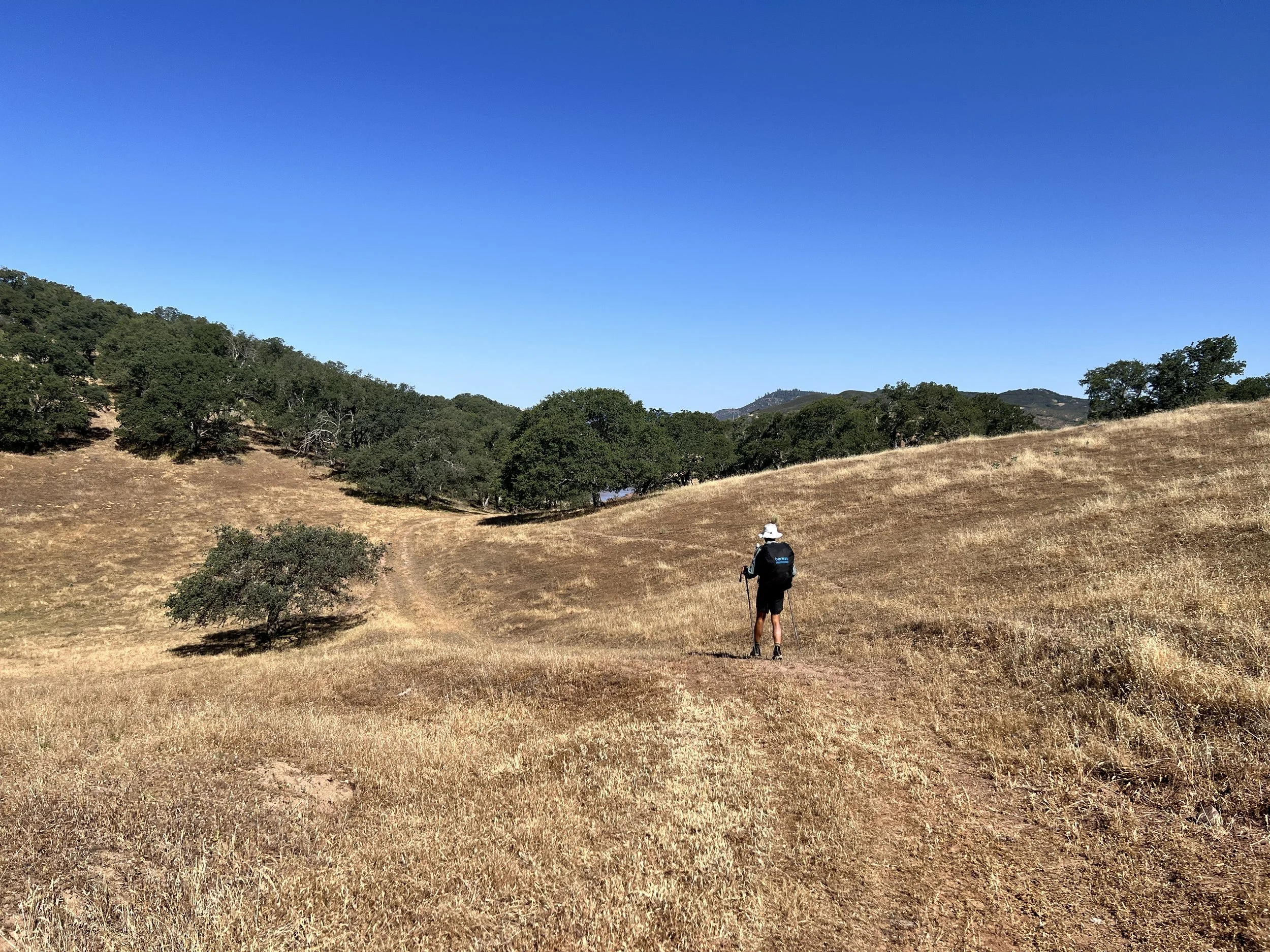
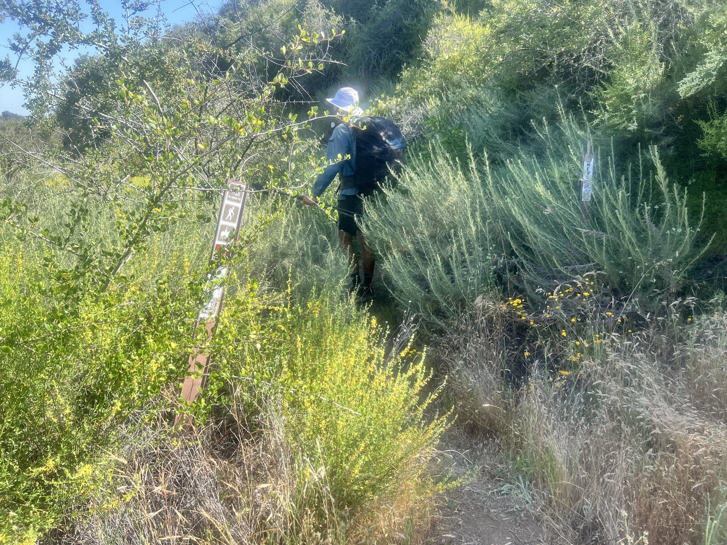
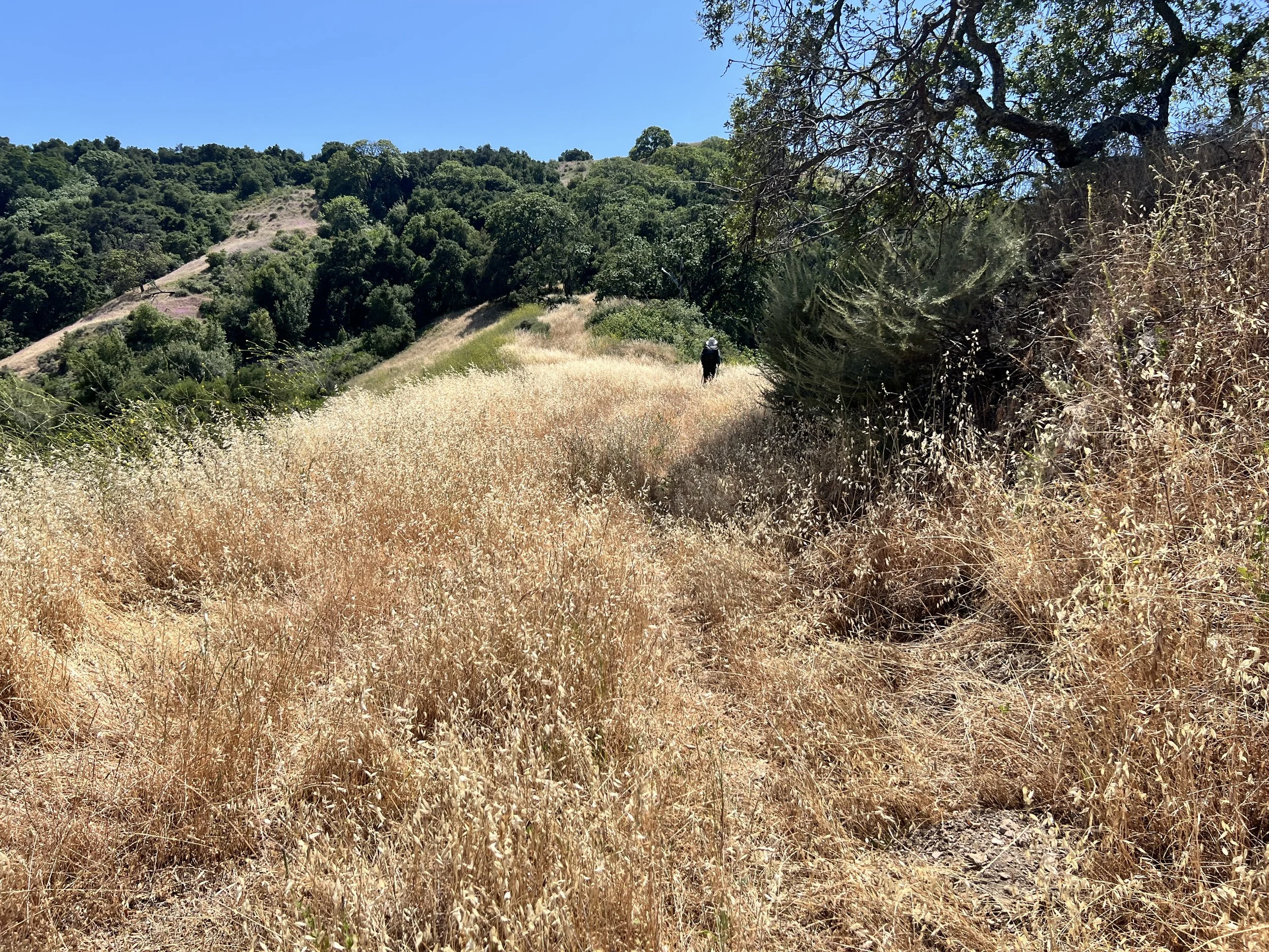
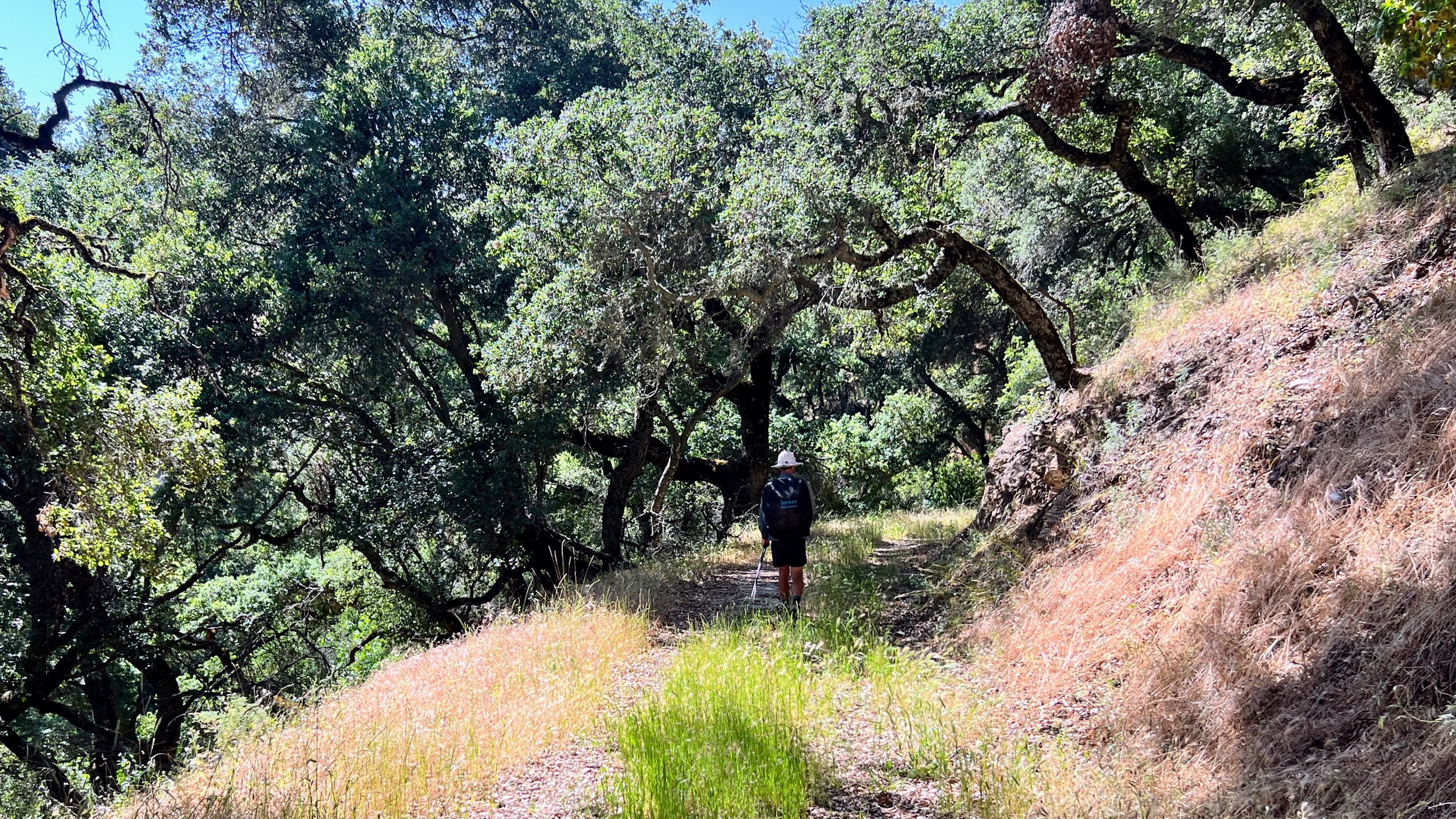
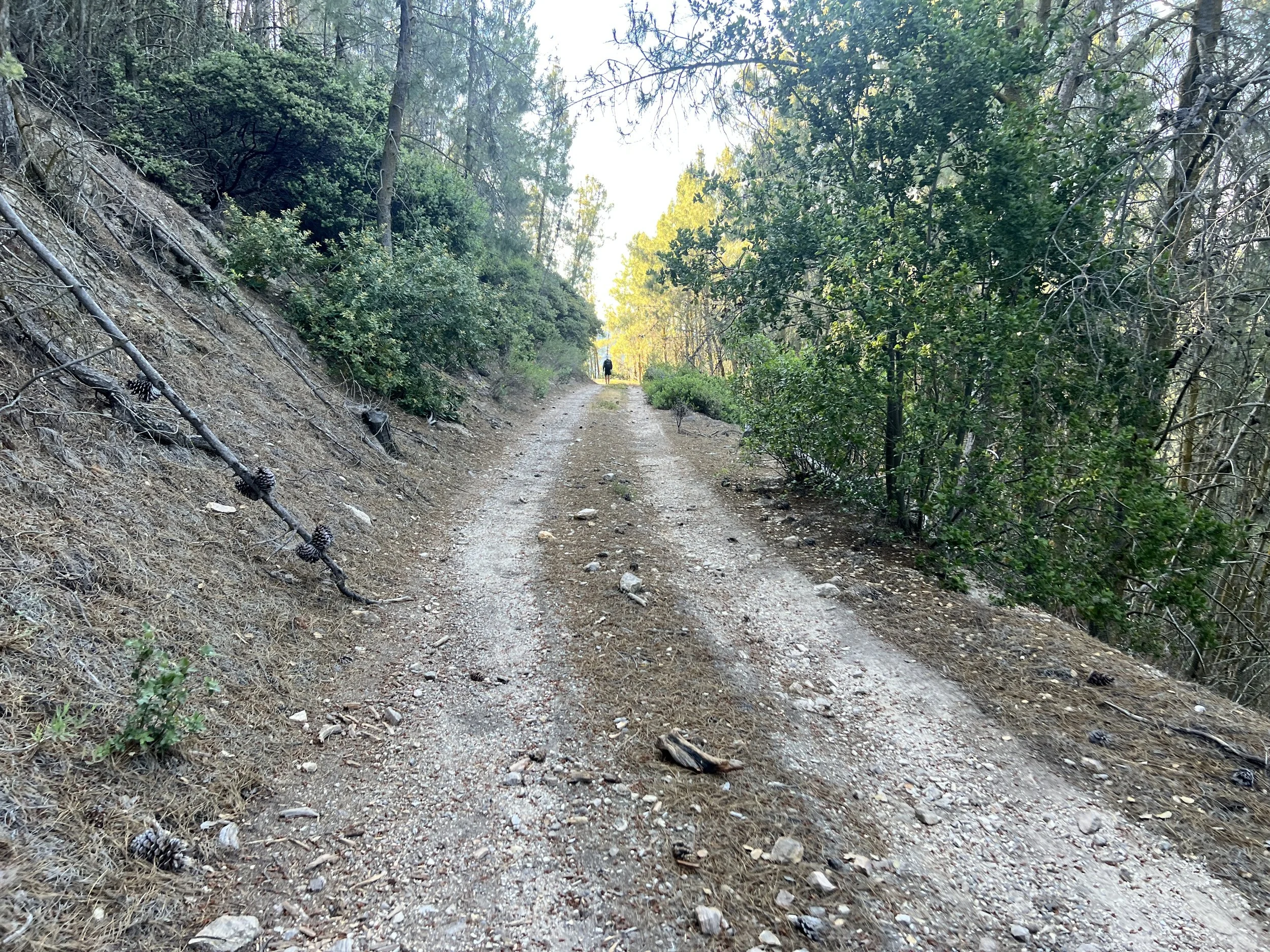
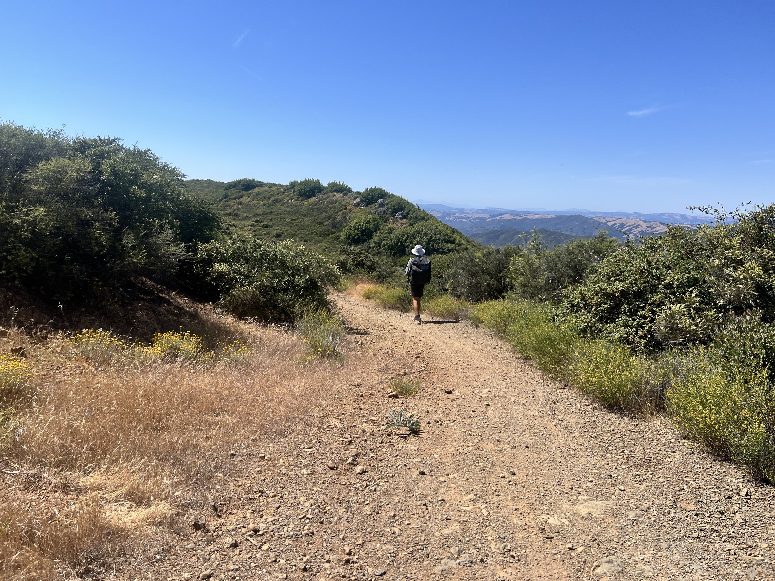
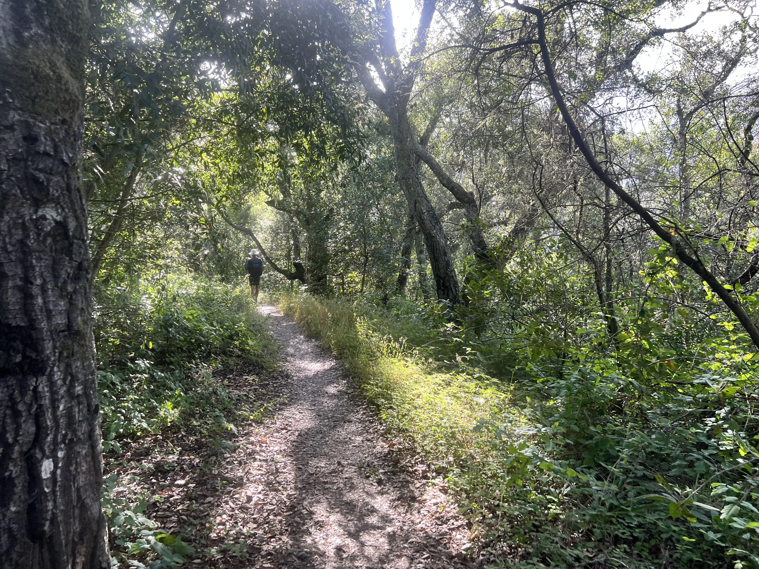
The trail winds through a short ravine lined with oaks and sycamores before climbing up to a semi-overgrown ridge road.
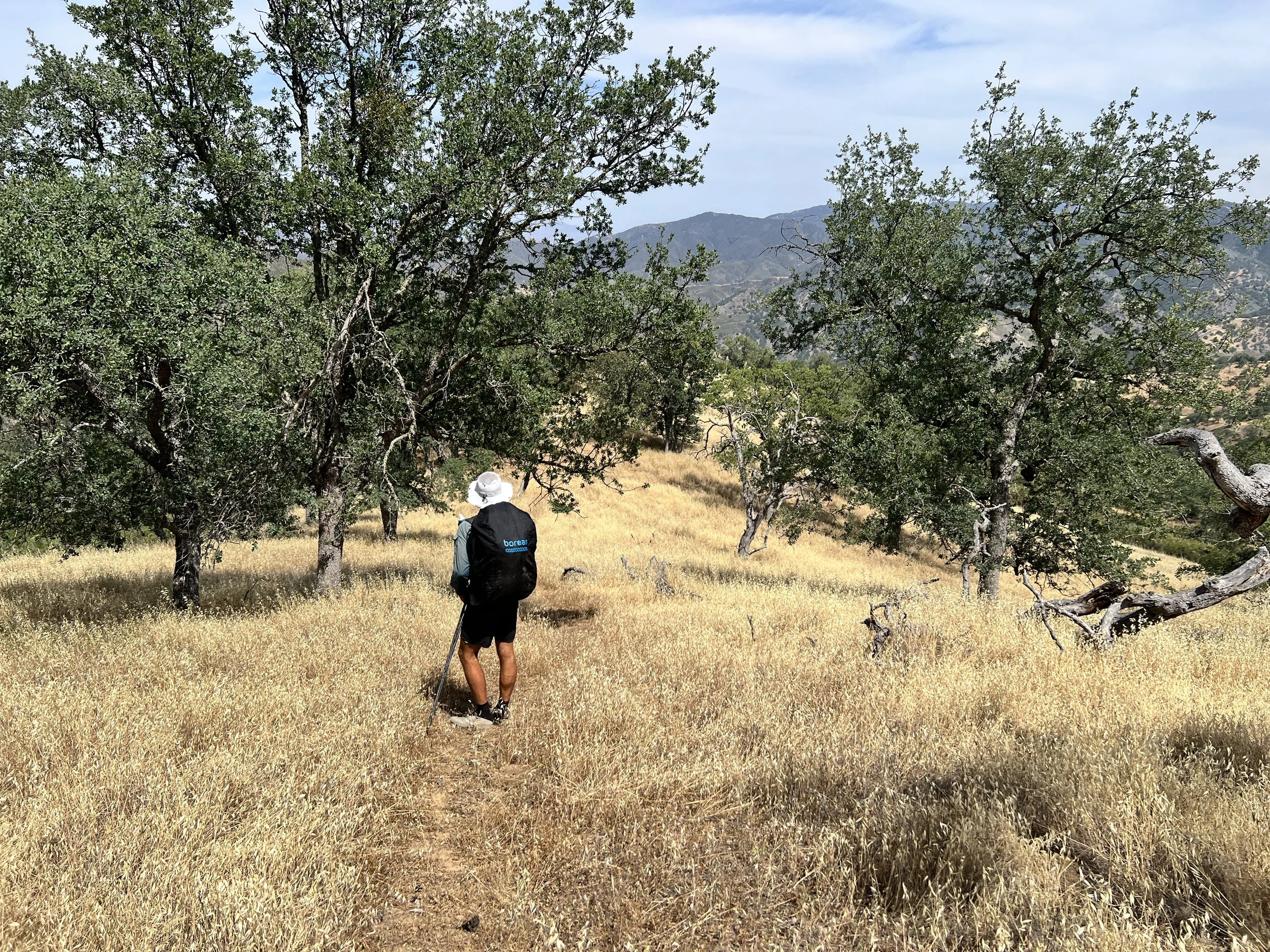
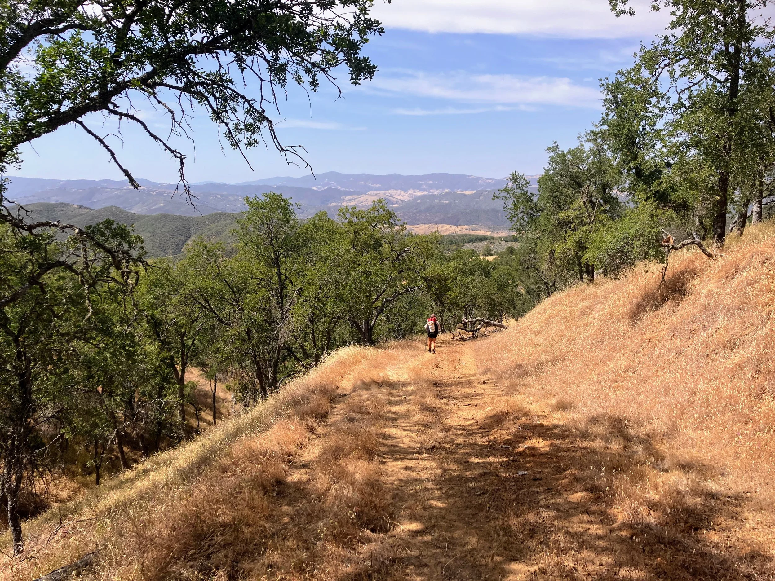
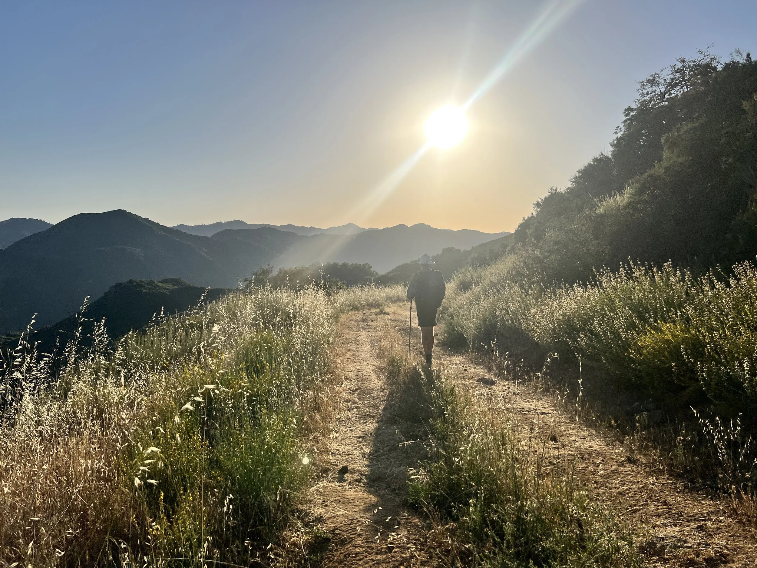
We follow the ridgeline with views of mountain peaks and green and golden hillsides. For once, there’s no intense bushwhack, but that doesn’t mean it’s easy. The climbs are steep, the sun unrelenting, and the old firebreak is loose and rocky. My Altras are worn down, offering almost no traction. I slip a few times on the uneven slope that, at its steepest, feels like walking up a tilted hill of marbles.
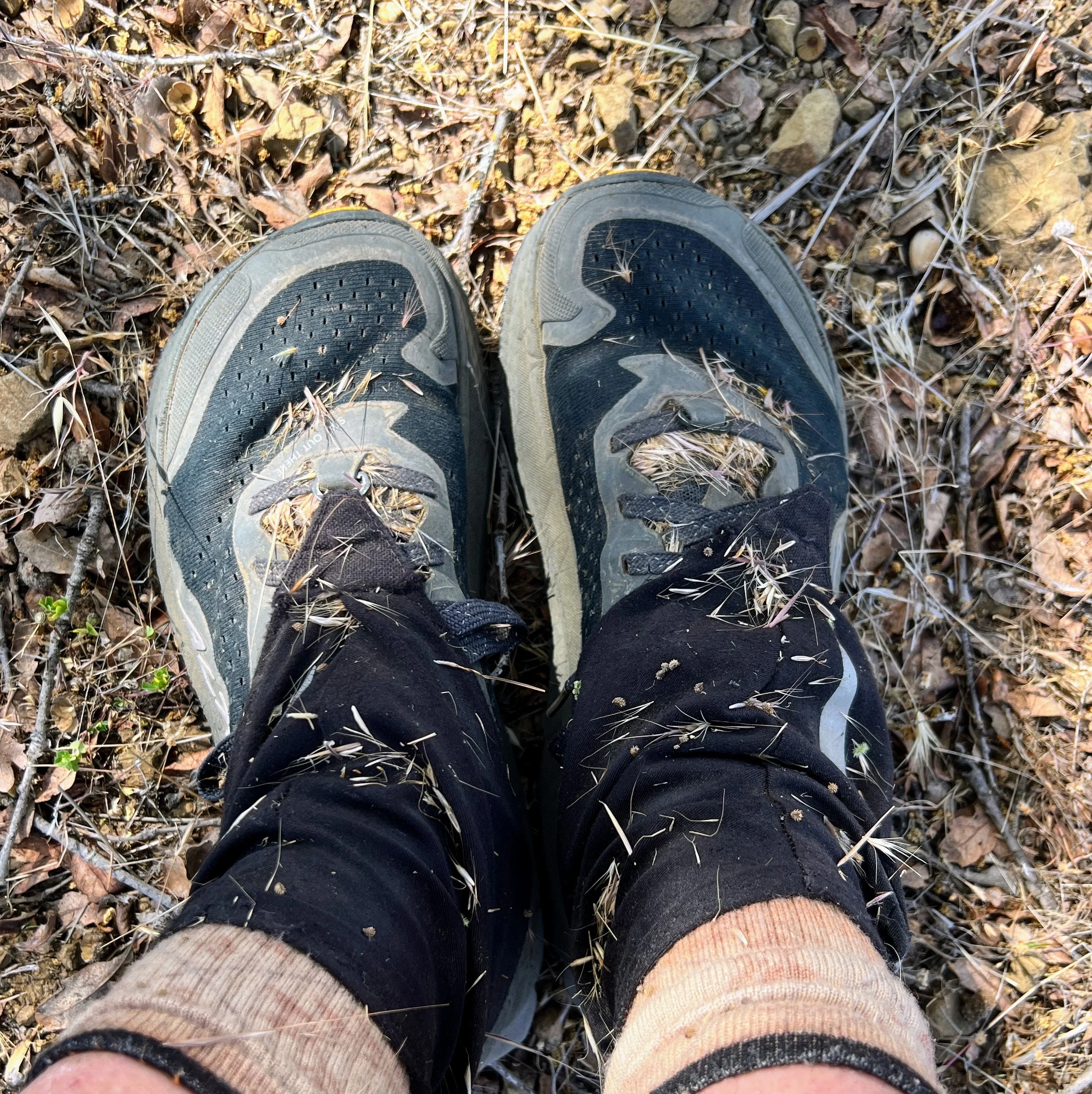
The overgrown stretches aren’t much better, foxtails and grass seeds wedge into my socks, shoes, and gaiters until I’m basically carrying around half the hillside.
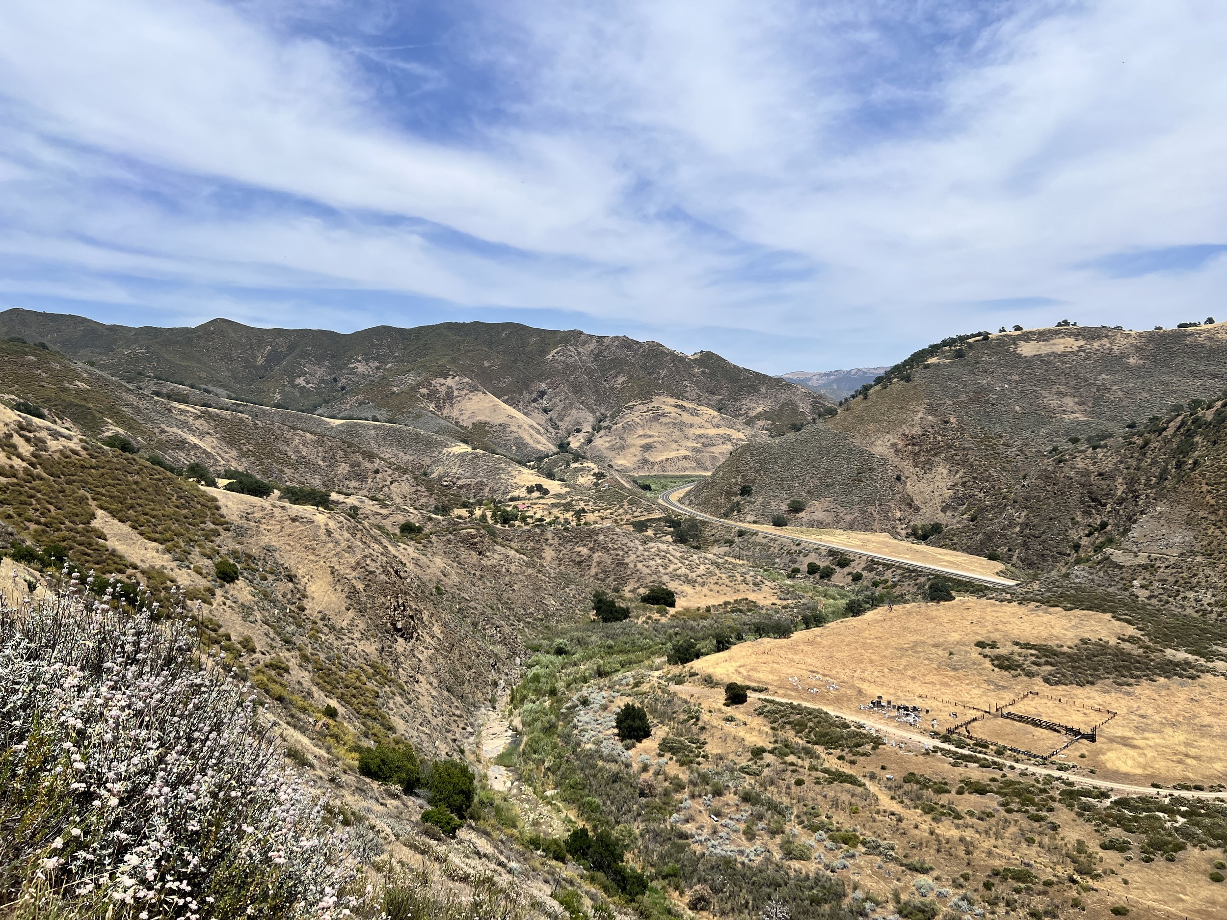
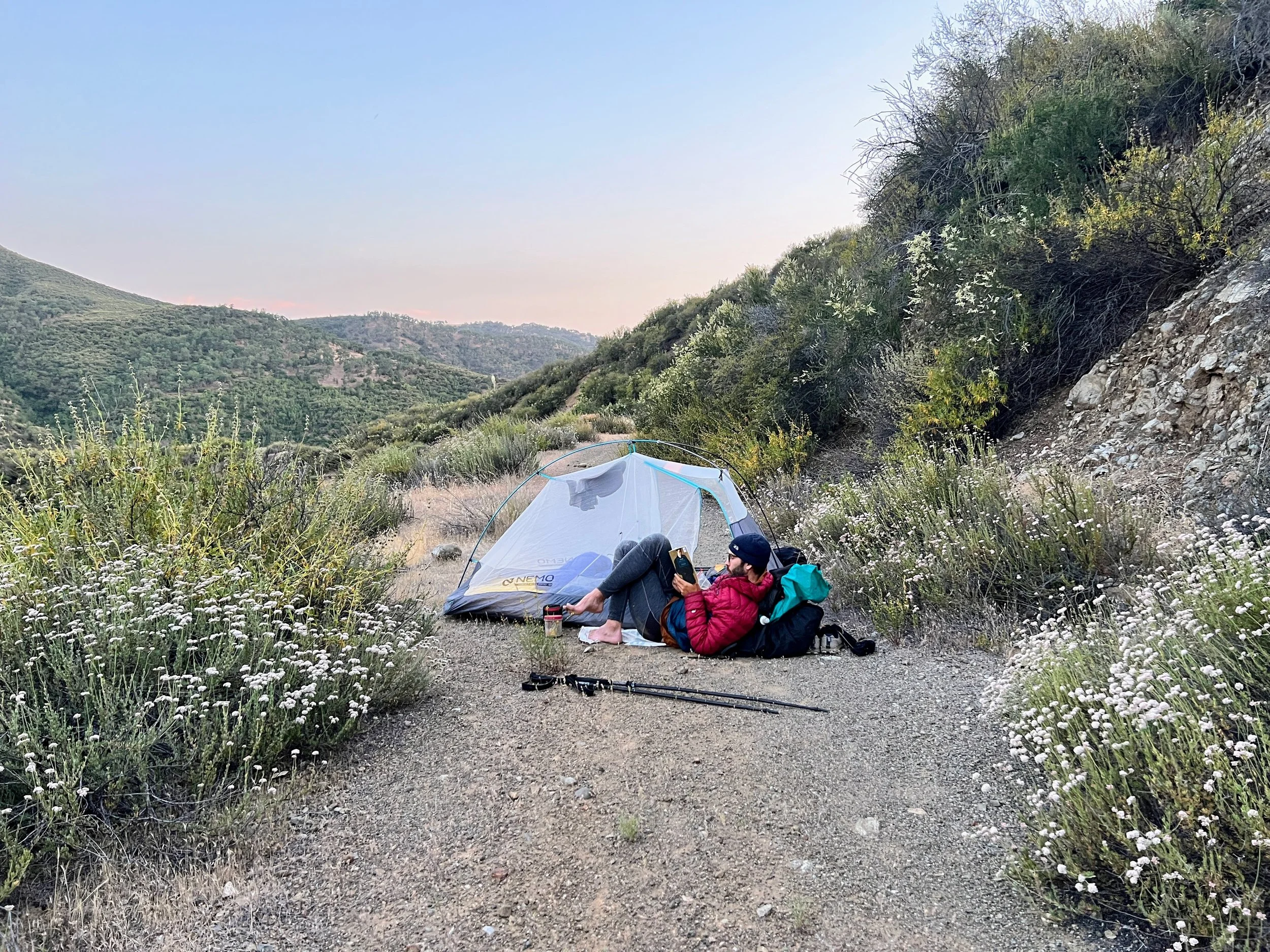
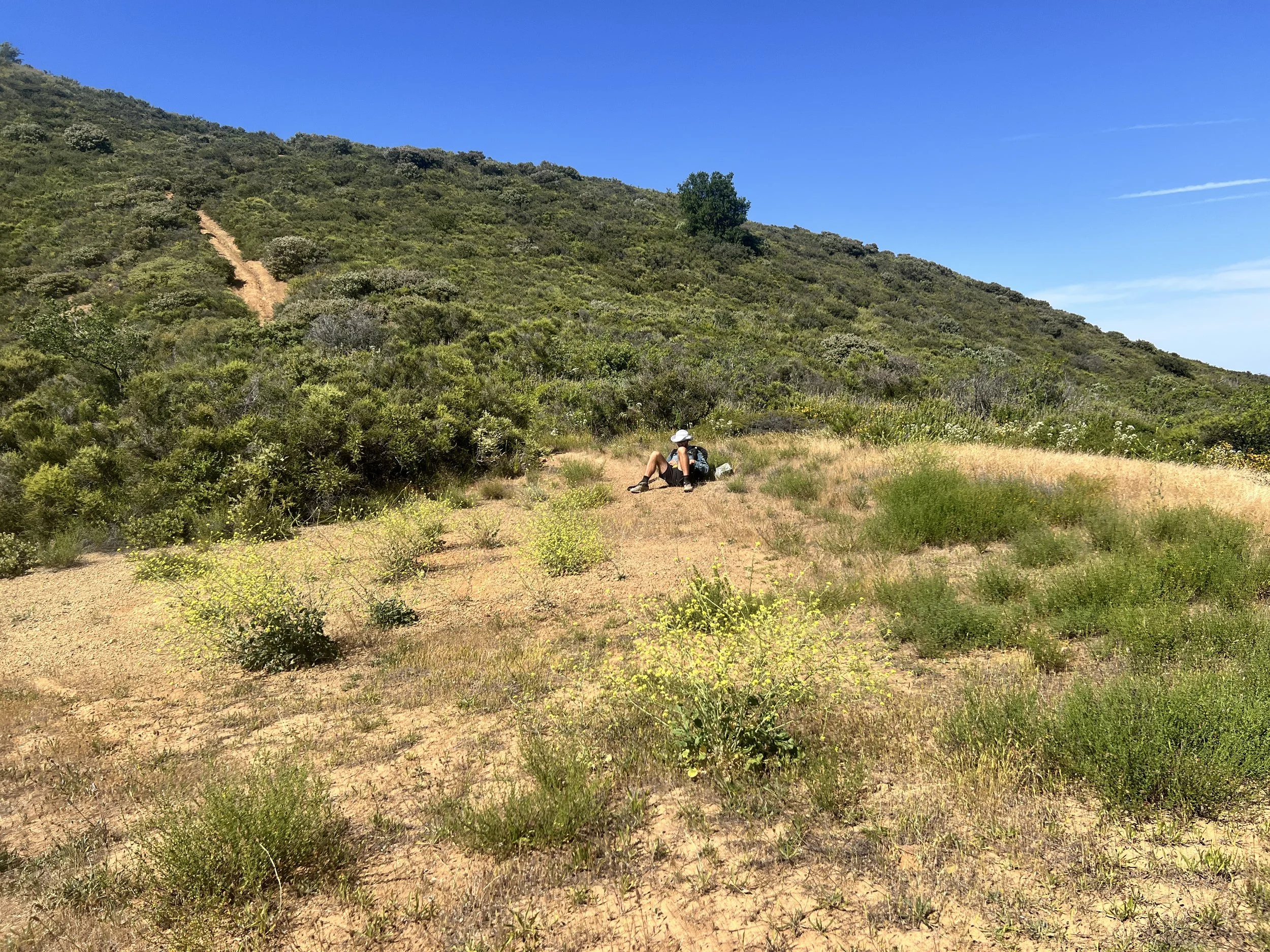
We hike until evening and set up camp on a dirt road overlooking a small valley. The air cools and the valley stretches wide below us. It’s quiet here, peaceful enough to finally catch our breath.
Day 15 | May 29, 2025
Earliest morning yet, and already warm. The news in town warned of a heat wave. We leave Cable Corral Road and hike a steep climb, a short bushwhack, and a stretch of overgrown road.
I climb the steep, brushy hillside and freeze as a sharp, quick, repetitive screech cuts through the air.
“What was that?” I stop and glance at Cosmo.
“I have no idea.”
We hike on. The sound comes again, piercing, almost like a human scream or bark.
My chest tightens. I’m afraid it’s an injured animal and want to move closer. Cosmo, on the other hand, is worried that it’s a mountain lion and urges us to keep our distance.
I pull out my phone and open the Merlin app. After a few more sharp, insistent screeches, the screen lights up with an answer: Flammulated Owl.
Flammulated Owl? Well, that’s a new one.
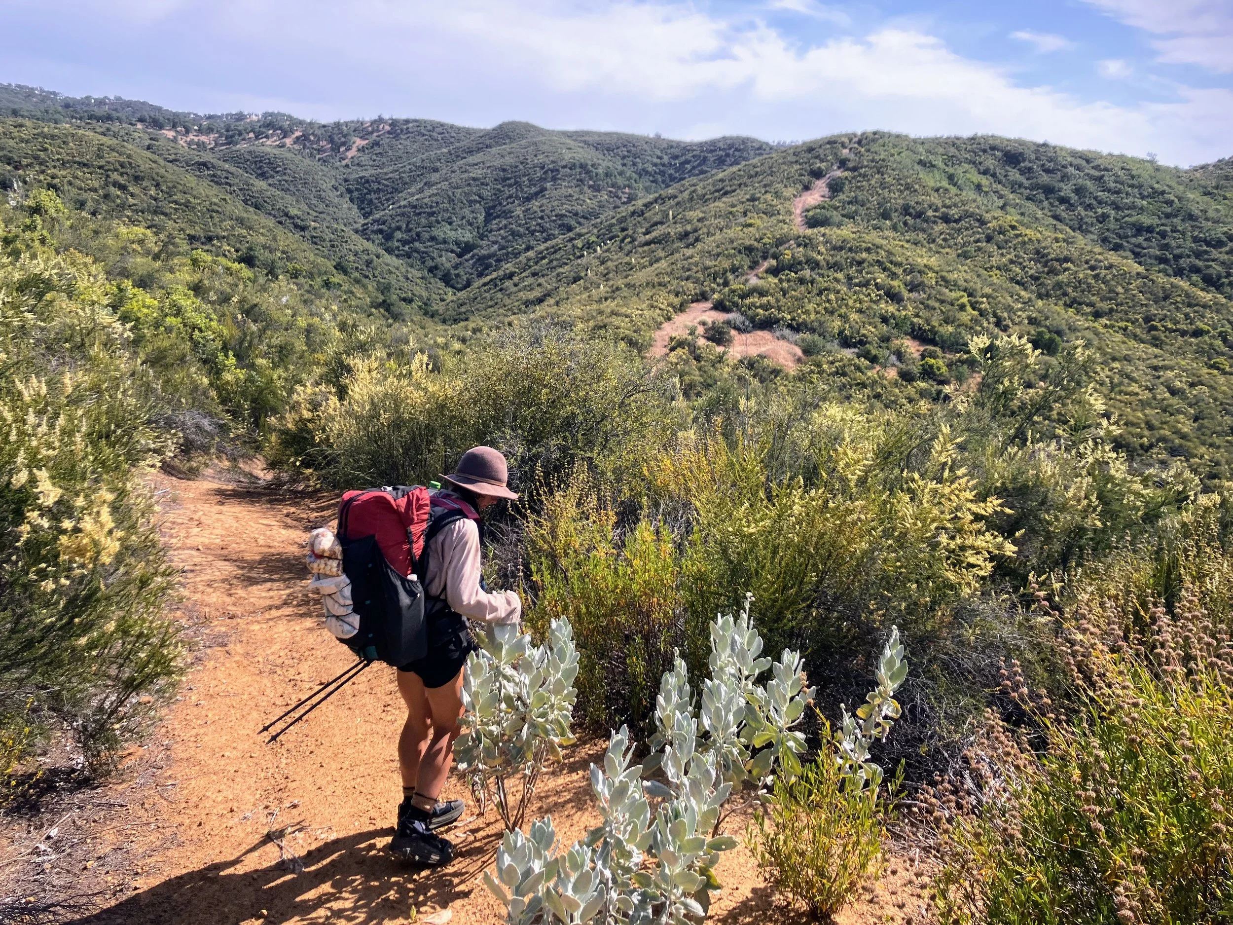
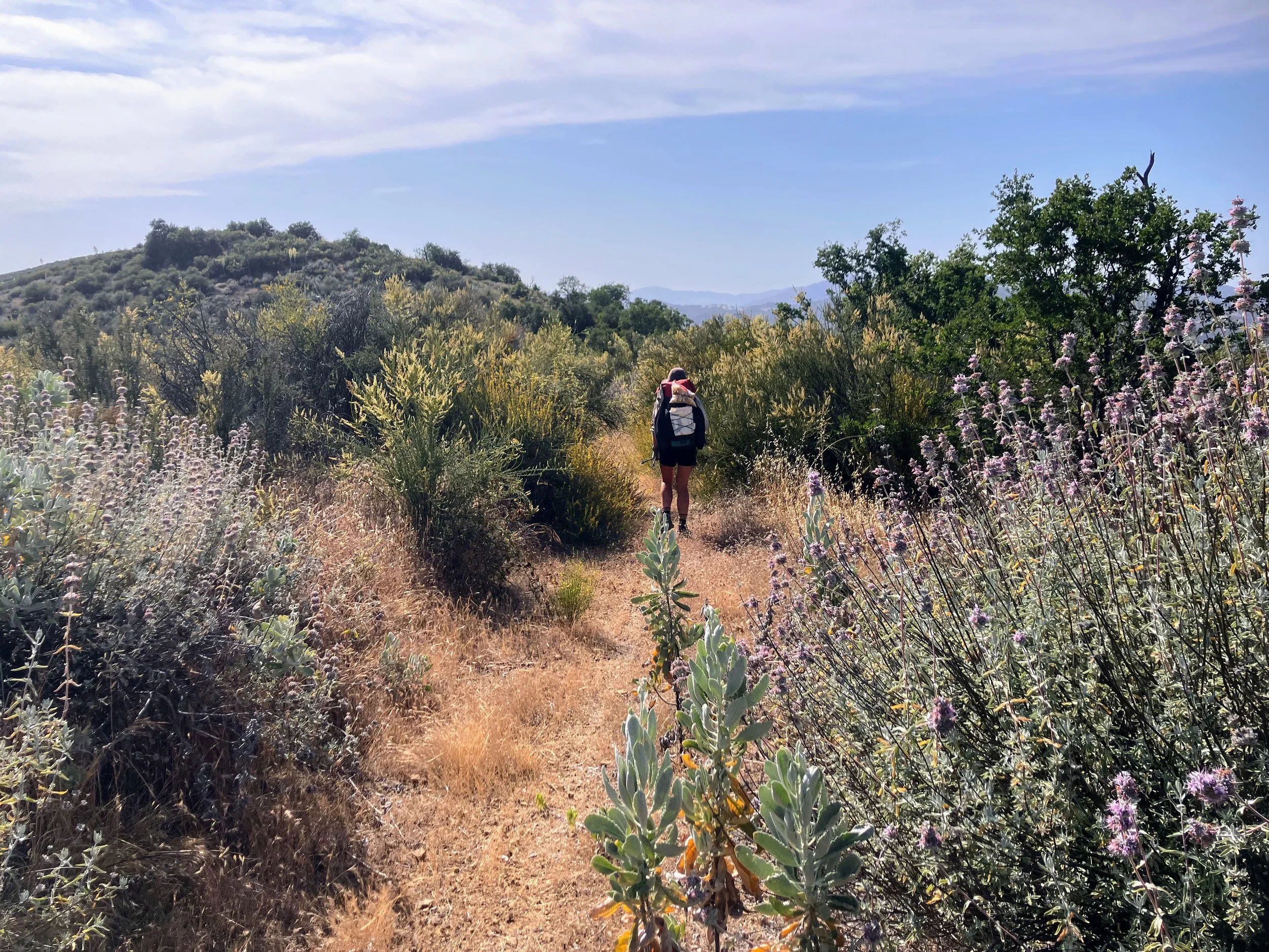
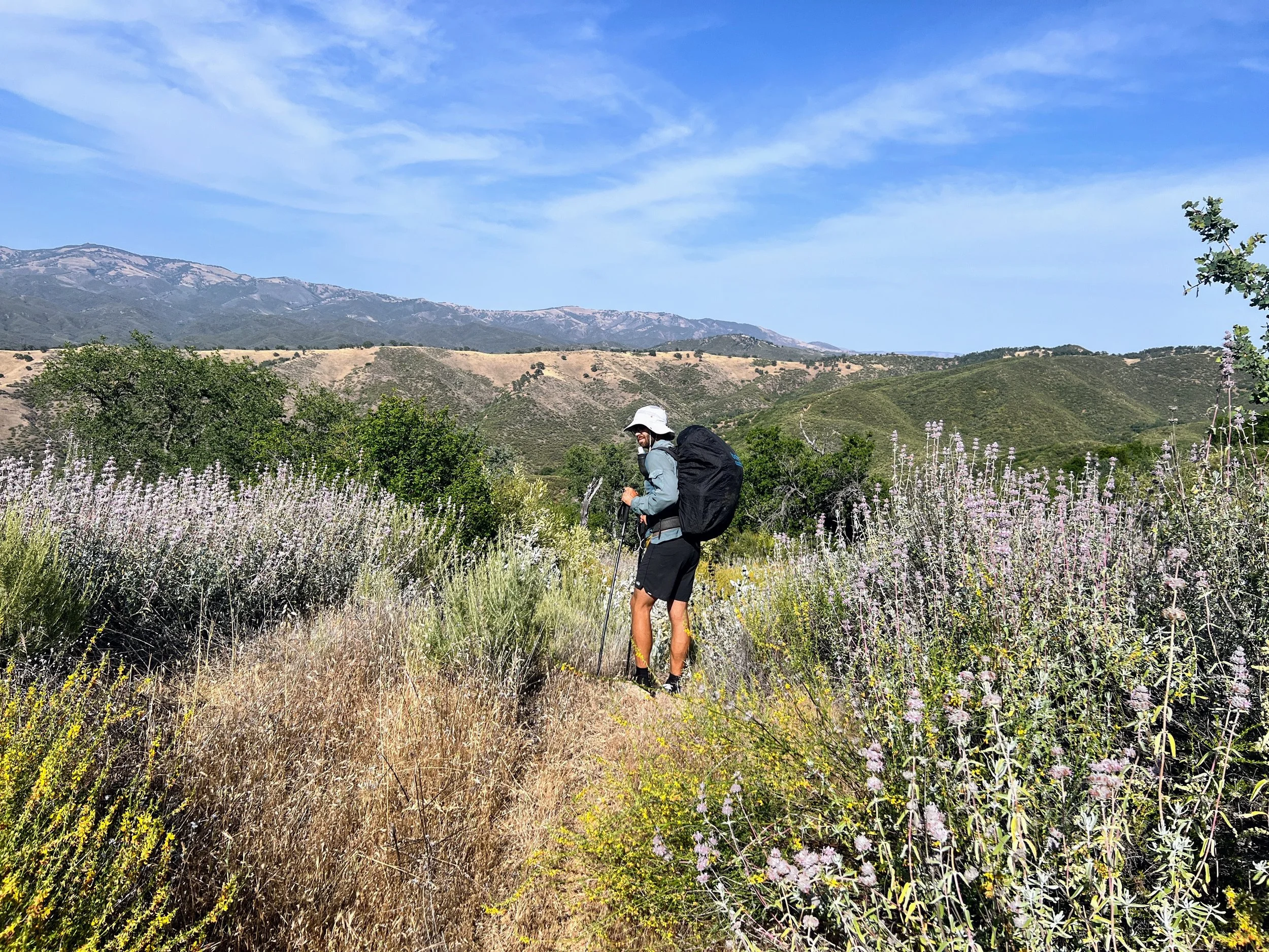
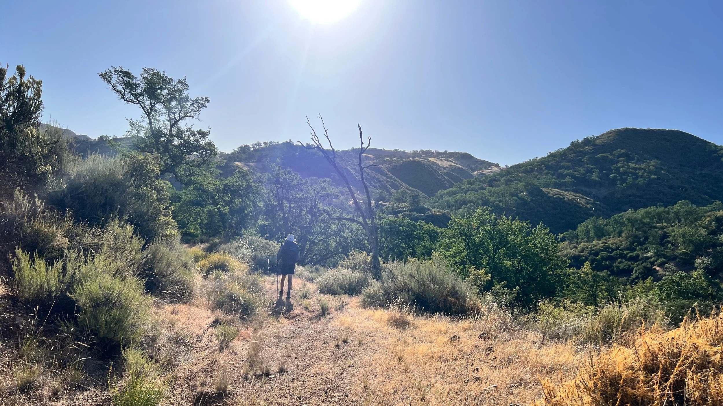
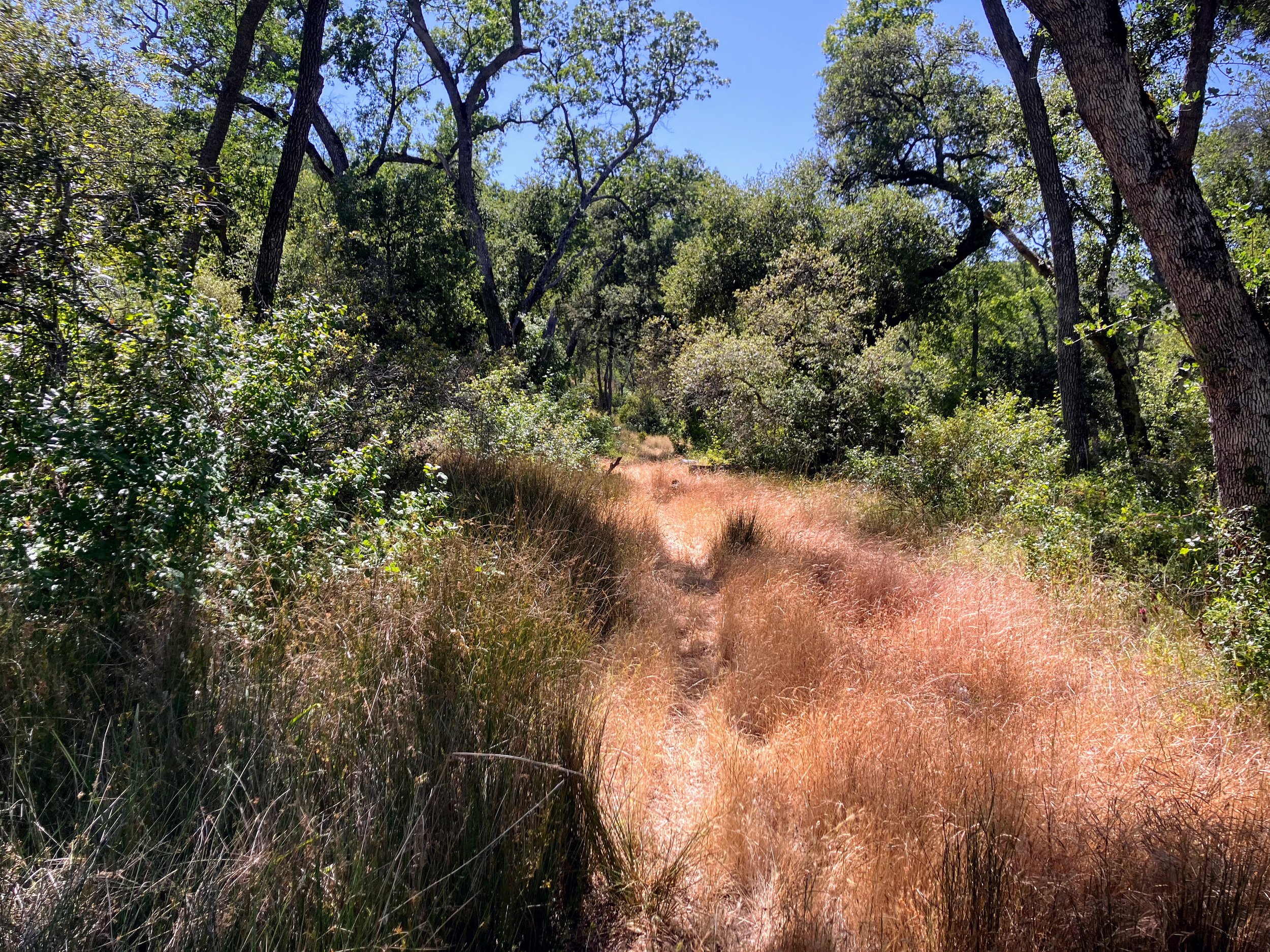
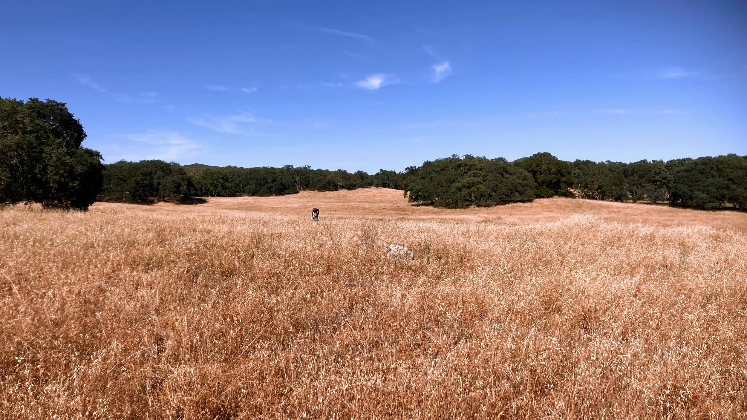
The trail heads northwest along an old track across a grassy oak ridge. It’s not well maintained and tall grasses get stuck in my shoes and socks. Still, it feels nicer than where we’ve been, and I’m in good spirits.
Out of nowhere, the J. Geils Band song Centerfold pops into my head. I find it on Spotify and play it out loud so Cosmo can hear, we’re the only ones around. He turns and sees me skipping, and waving my hiking poles in the air. We belt out the chorus together, dancing down the ridge.
Feelings are as fleeting as the scenery we walk past. The song ends, the ridge falls quiet, and my energy settles.

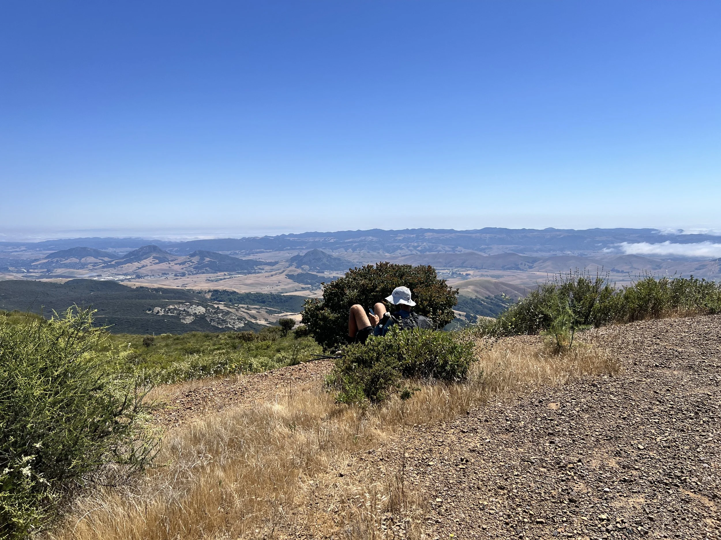
We take a brief detour to reach the summit of Avenales Observation Point.
By late afternoon, the heat presses down, heavy and relentless. A light breeze feels good against my skin, but when poison oak reclaims the path, I’m forced into my rain pants, thick, suffocating, plastic-feeling layers.
Imagine hiking in ninety-degree heat, the sun blazing, your legs wrapped in trash bags. Sweat pools against my skin, itchy and uncomfortable, but necessary. There’s no avoiding the oak completely; better that it clings to fabric than to me.
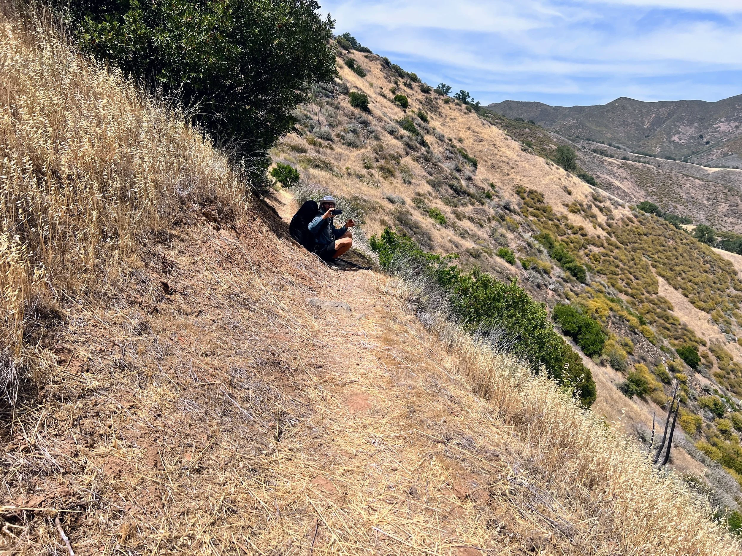
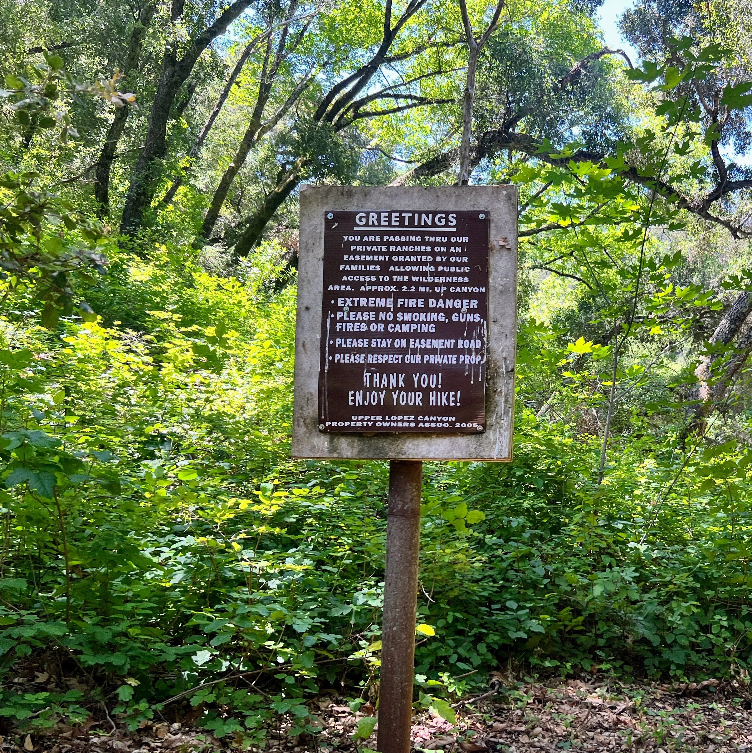
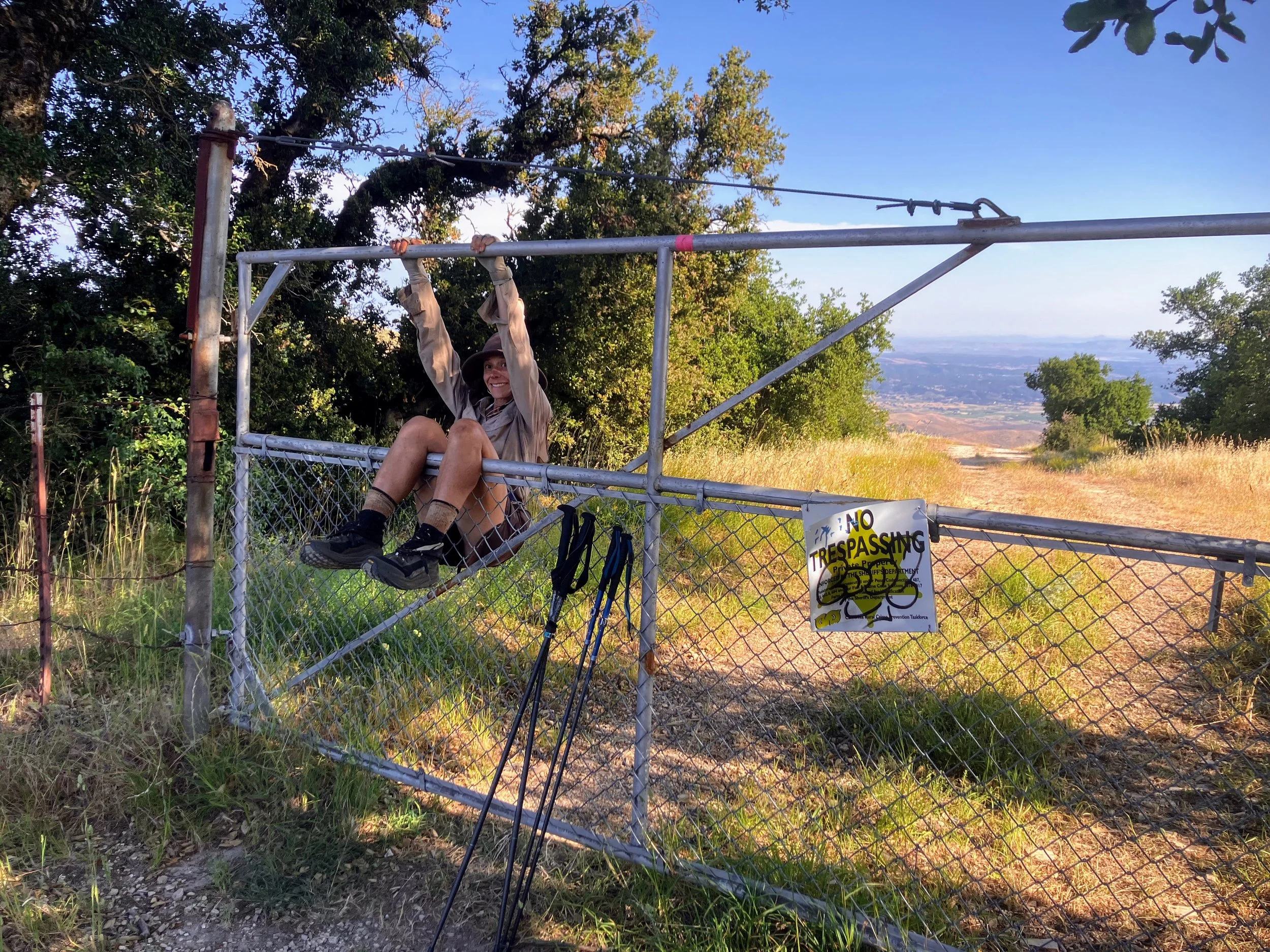
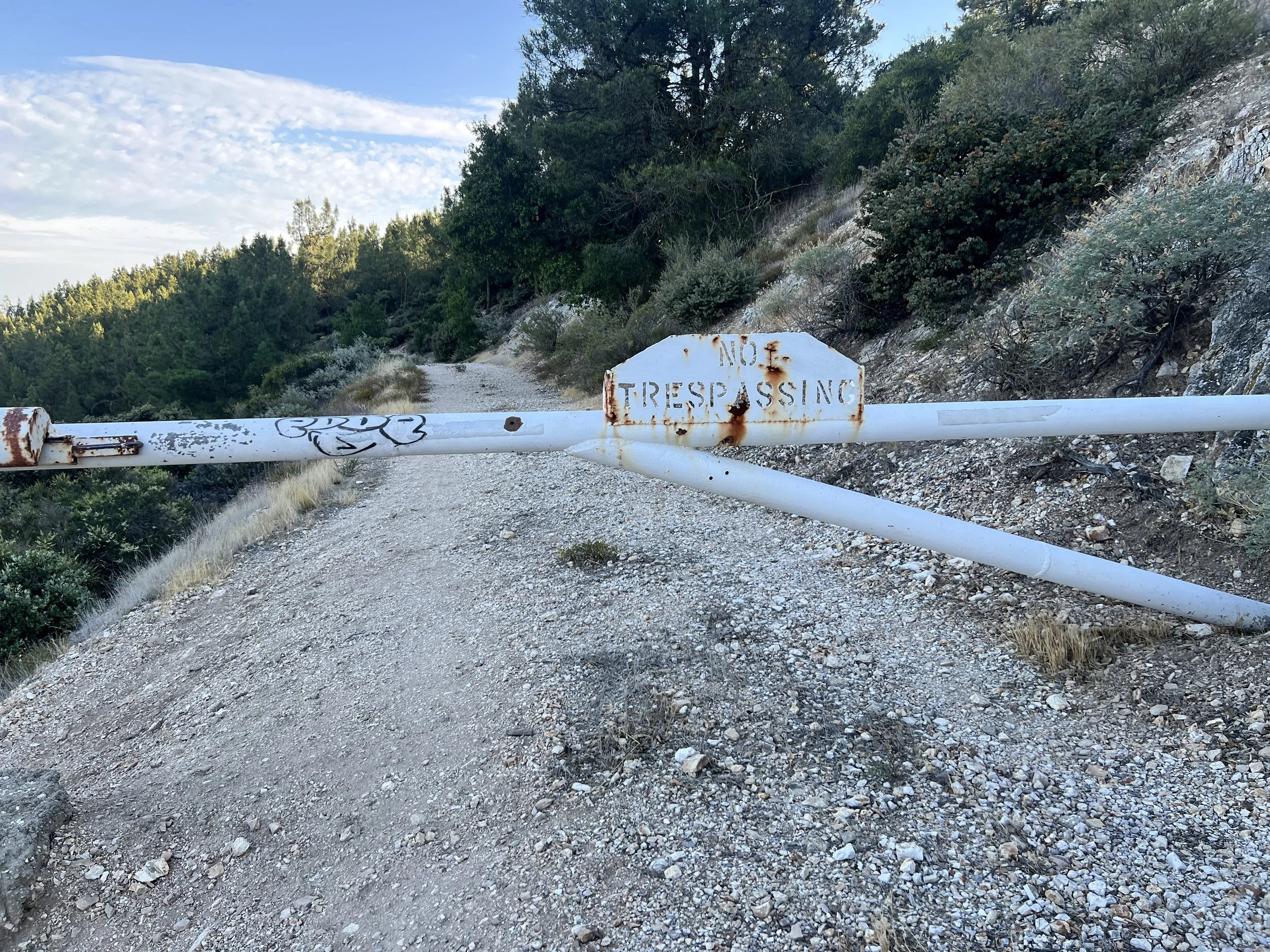
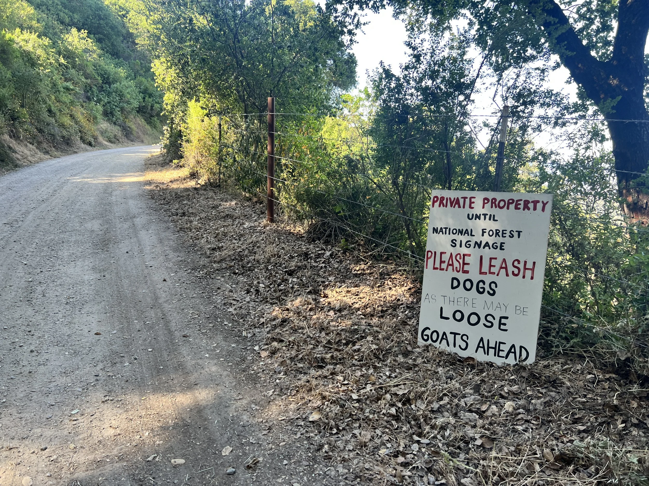
We reach Agua Escondido Road, where the Condor Trail cuts northwest, a steep bushwhack below the ridgeline to avoid private property. Sticking to the road would be much easier, but cutting through private property makes Cosmo uneasy.. After a brief conversation, we decide to risk it, fed up with whacking bush, and hike on along the dirt road.
I request a short break in a grassy meadow to cool off. Tiny flies flitter around our faces and bodies, occasionally landing, making the break less relaxing than I hoped.
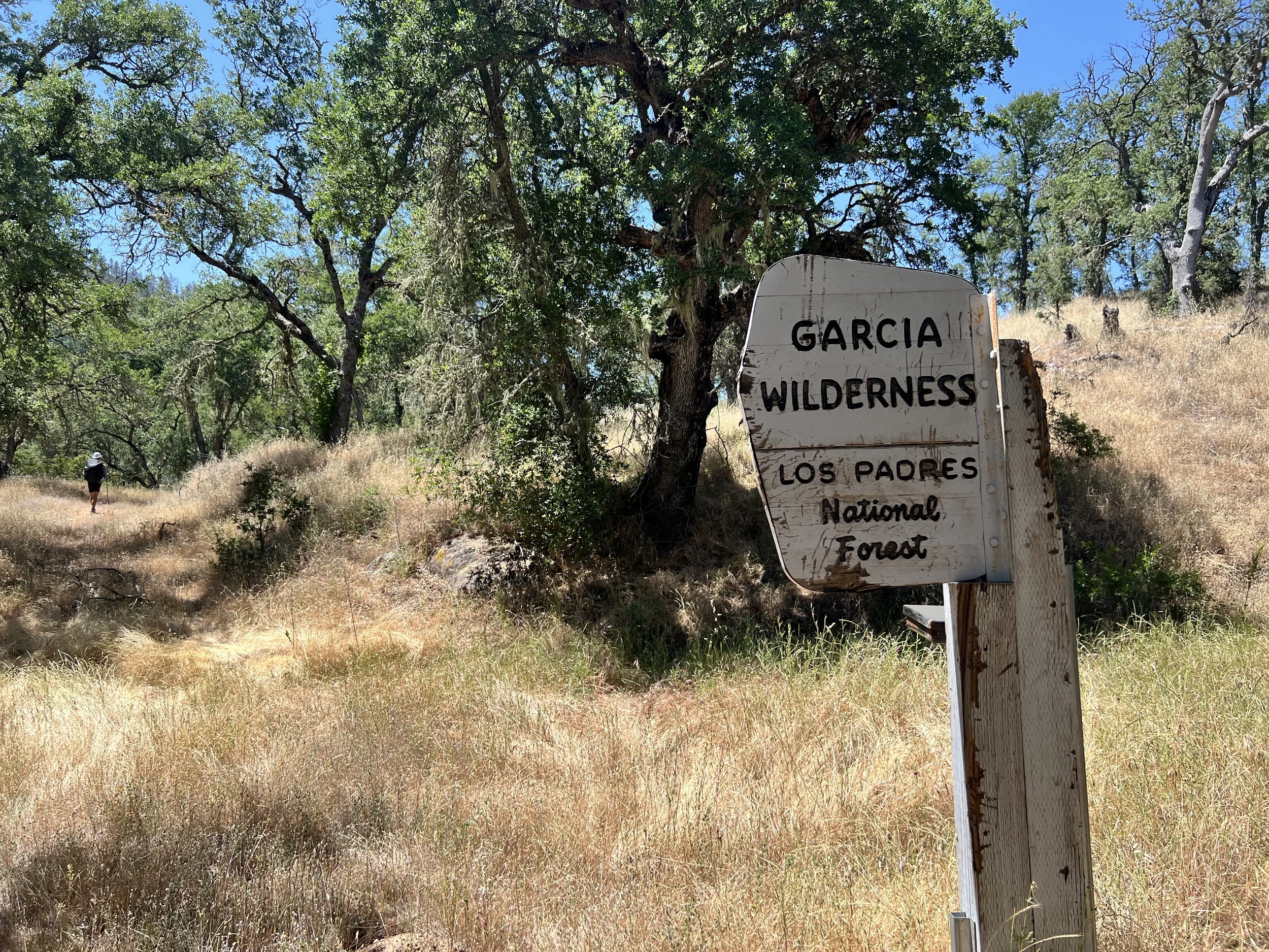
We enter the Garcia Wilderness and head northwest on an old dirt road following Stony Creek. Cosmo reads about a swimming hole a short ways down the creek. It sounds perfect in this heat, but we skip it. We’re moving slowly, and every side detour adds more time than we can seem to predict, edging into our thoughts of food and the increasing heat of late spring.
We leave the old roadbed and start climbing Avenales Trail toward Caldwell Mesa.
At first, the trail is manageable, even pleasant, but as the afternoon wears on, remnants of the path disappear into thick vegetation. The heat and fatigue make every step heavier.
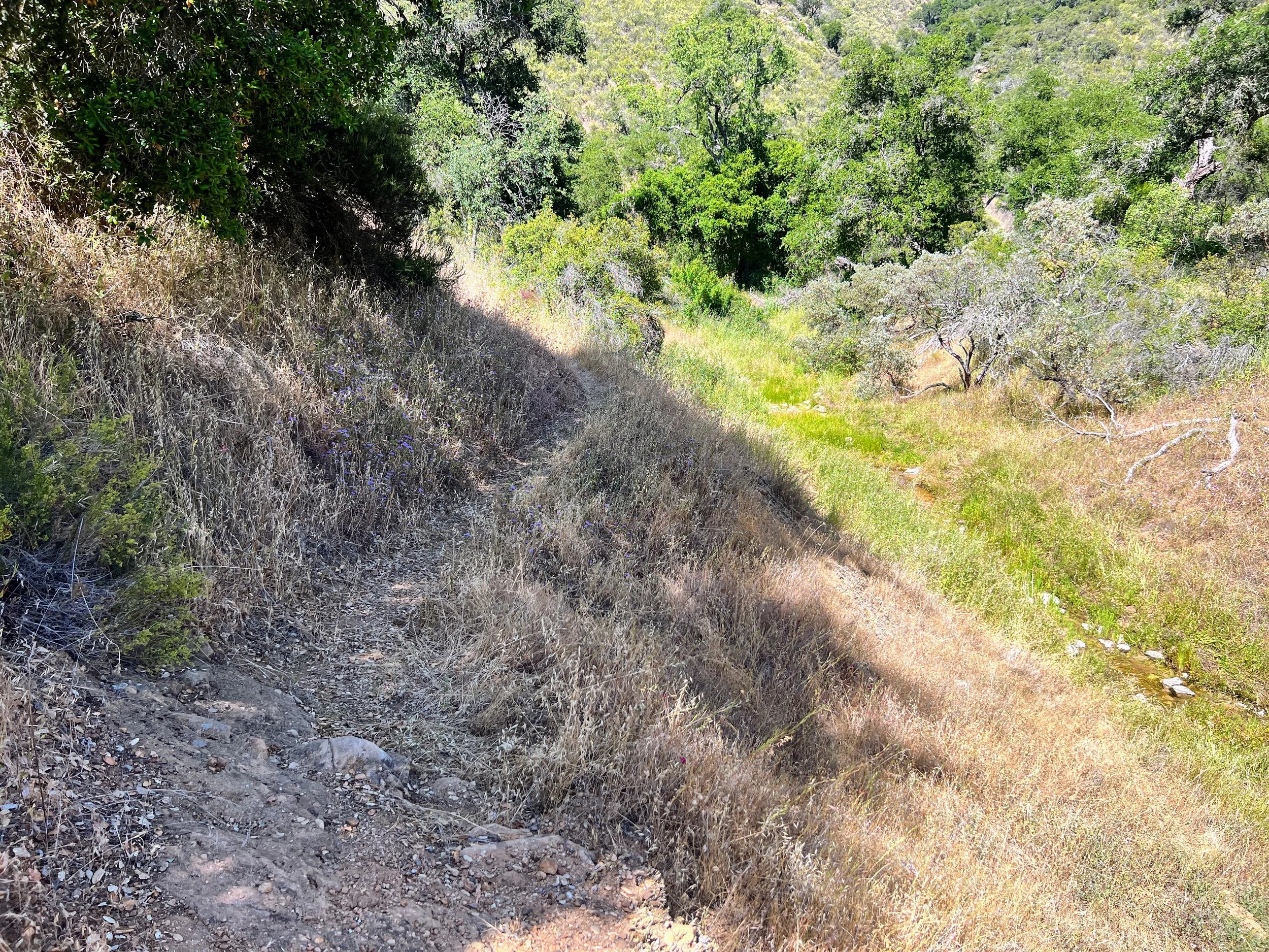
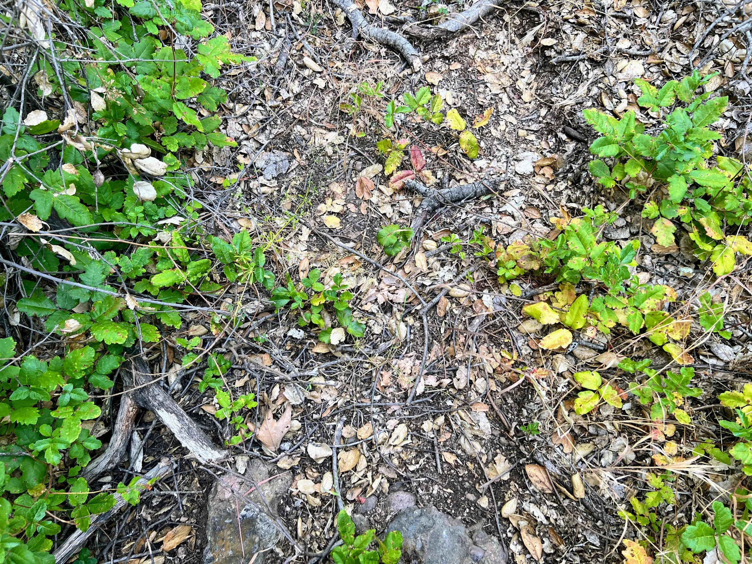
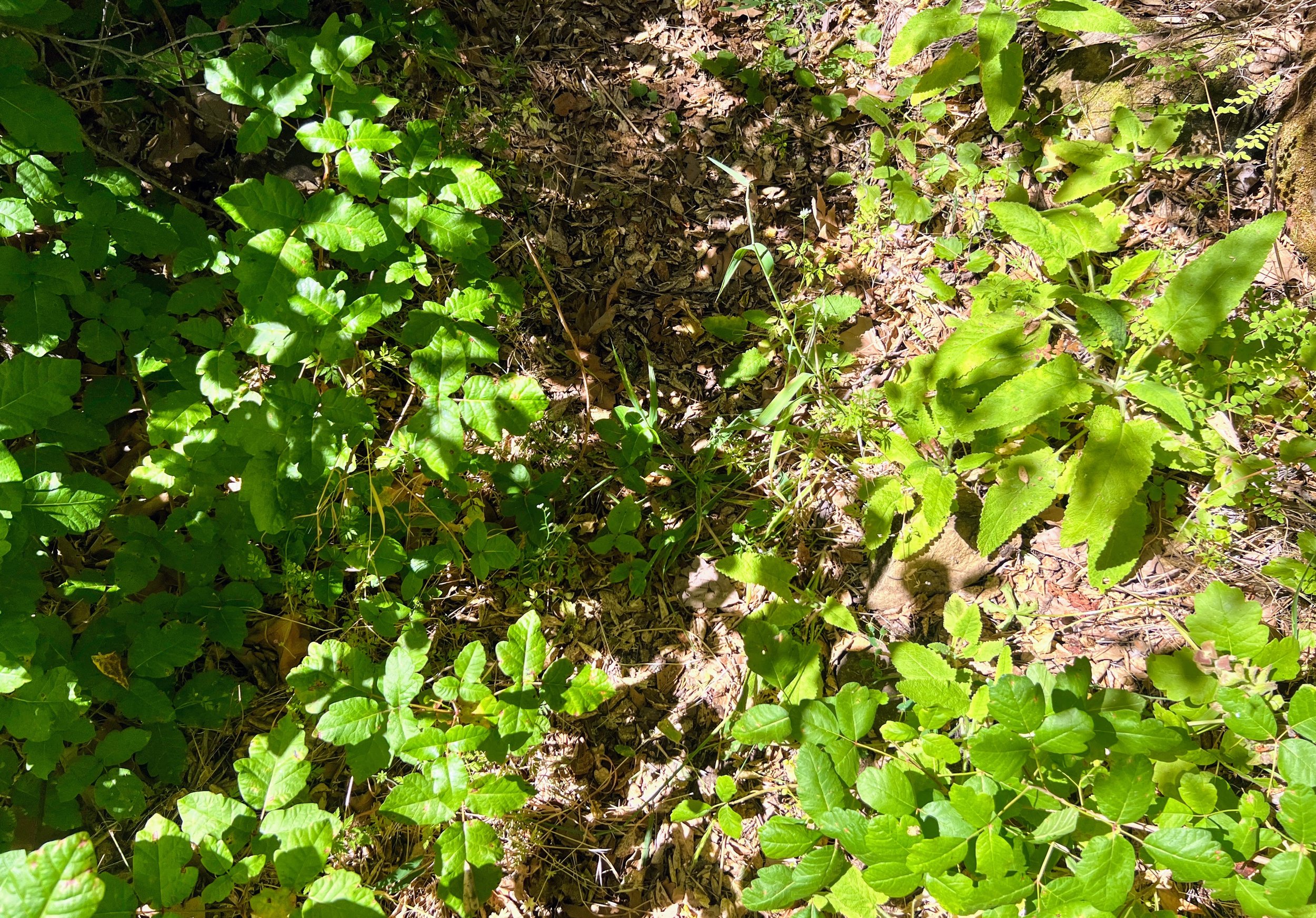
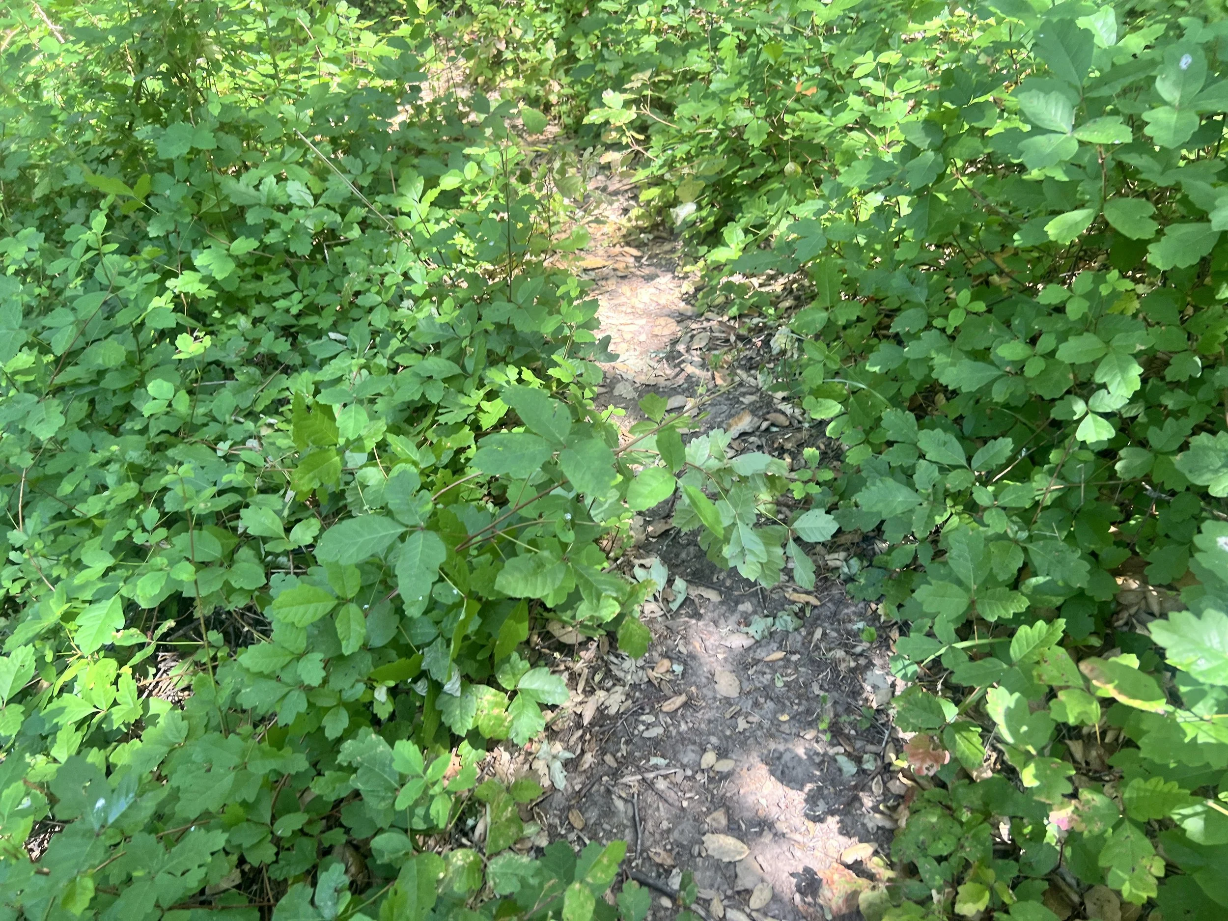
Poison oak becomes unavoidable. Pockets of it appear like ambushes every few hundred feet. We squeeze past, twist, step over, and climb around, packs brushing leaves that threaten to mark us, slowing every step to a cautious crawl.

I’m irritated. The sun is still out, we have more hiking to do, and I don’t want to do this anymore. No matter how careful I am, poison oak brushes me. Cosmo suggested aiming for Buckeye Camp, which seems reasonable on the map, but moving through these oak-choked sections makes the distance feel impossible. I’m tired, thirsty, impatient, and frustrated.
We push on, hoping Buckeye will be worth it. The guidebook promises “a flat, open area near a creek under oak and sycamore trees.” The sun dips lower, and the trail begins to descend. A bad sign. On this hike, descending usually means dense forest, tight brush, and more poison oak.
I try to keep the worst of the poison oak off me, pressing thick branches back with my hiking pole, inching through the narrow path. Occasionally Cosmo looks back, his face a mix of frustration for himself and concern for me and my declining mood. I’d hoped for an early night, but these last miles to camp feel impossible. The trail twists up, down, and around, each patch of poison oak like a hidden roadblock or speed bump, forcing us to slow, contort, and navigate carefully.
The trail narrows and the oak crowds in from all sides, forming a green barricade. I wedge my pole under a thick branch and lift it like a gate, angling it over me so I can squeeze through. Suddenly, the branch slips, snaps back, and hooks my waist, brushing against my side. “Fuck!” I scream, but no one hears me, not even Cosmo, who is further ahead.

The forest closes in. Undergrowth thick, the trail nearly impossible to read in the fading light. Poison oak blankets the path in ridiculous abundance, this is the worst oakwhack of the entire Condor Trail. No one escapes unscathed. I feel anxious knowing I haven’t washed any of it off all day; the oils are building, thick on my skin. Invisible now, but I can already picture the red rash coming. I’m mad at the route, the guidebook, and myself for choosing this hike against my better judgment.
I’m tired and just want to get to camp. I start getting lazy in my attempts to avoid the poison oak, inevitably letting more brush against me as I push forward. What’s the point? It’s already on me.
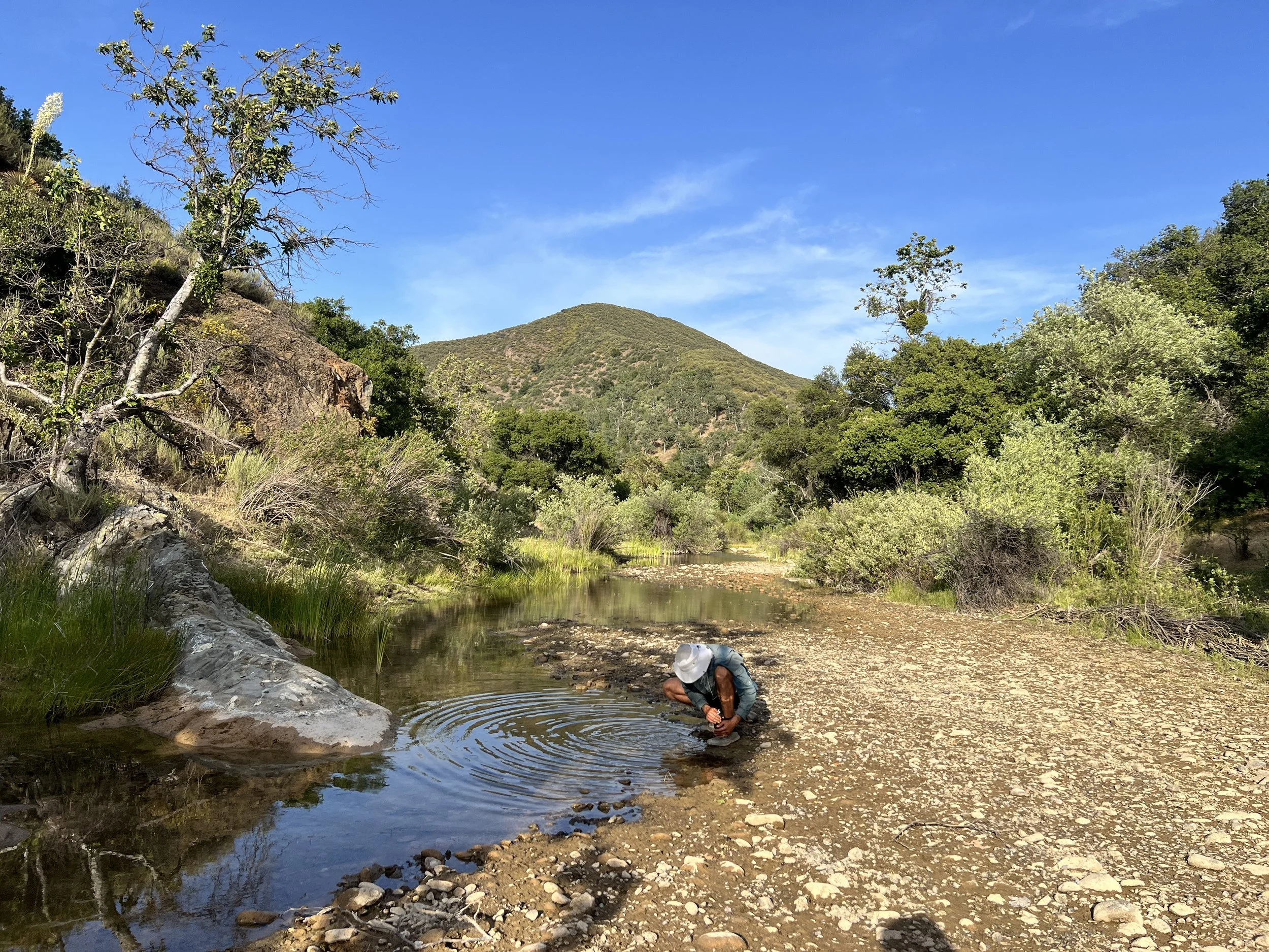
I assume I’ll wash it all off at camp, which I hope comes soon. We reach the riverbed at dark. No water. This is a huge problem. We need it not just for washing but for drinking. The day has been scorching, we’re both nearly empty, and the sun has drained our skin dry. If there’s nothing near camp, I don’t know what we’ll do. I don’t have the emotional space for this right now.
It’s dark by the time we reach Buckeye which appears tucked behind a thicket of overgrown poison oak, a final ironic obstacle. There’s nothing. Sometimes these sites are sparse, but this one seems abandoned. We can’t even make out a spot for camp. Hiking past where the camp should be, we finally find a pool of water big enough to stand in and rinse. Relief.
“I’m going back to see if there’s a spot we missed that might be flatter. The book says a large, flat area,” Cosmo says, hurrying across the oak-filled trail.
I’ve lost faith in the guidebook and push forward, desperate to climb out of this dark, oak-choked forest and hoping to stumble into a perfect, open field with water. But all I find is more of the same.
We reconvene at the watering hole. Cosmo says that there’s a spot to camp further up the hill. It’s dark and no longer hot.
Exhausted, we scrub and rinse everything, clothes, gear, and bodies, in a small, rock-lined pool shadowed by trees and brush. Moss clings to the slick stones and the water is dark and cold, seeping into every crevice. I want to rush, but they say you have to really scrub, so I press hard at every inch of my skin, using my bandana to scour and rinse as thoroughly as I can.
Thick branches block the sky above, making our spot feel darker than night and reminding me of the oak surrounding us. I scrub quickly, determined to get it done, aware that any missed spot will pay me back later.
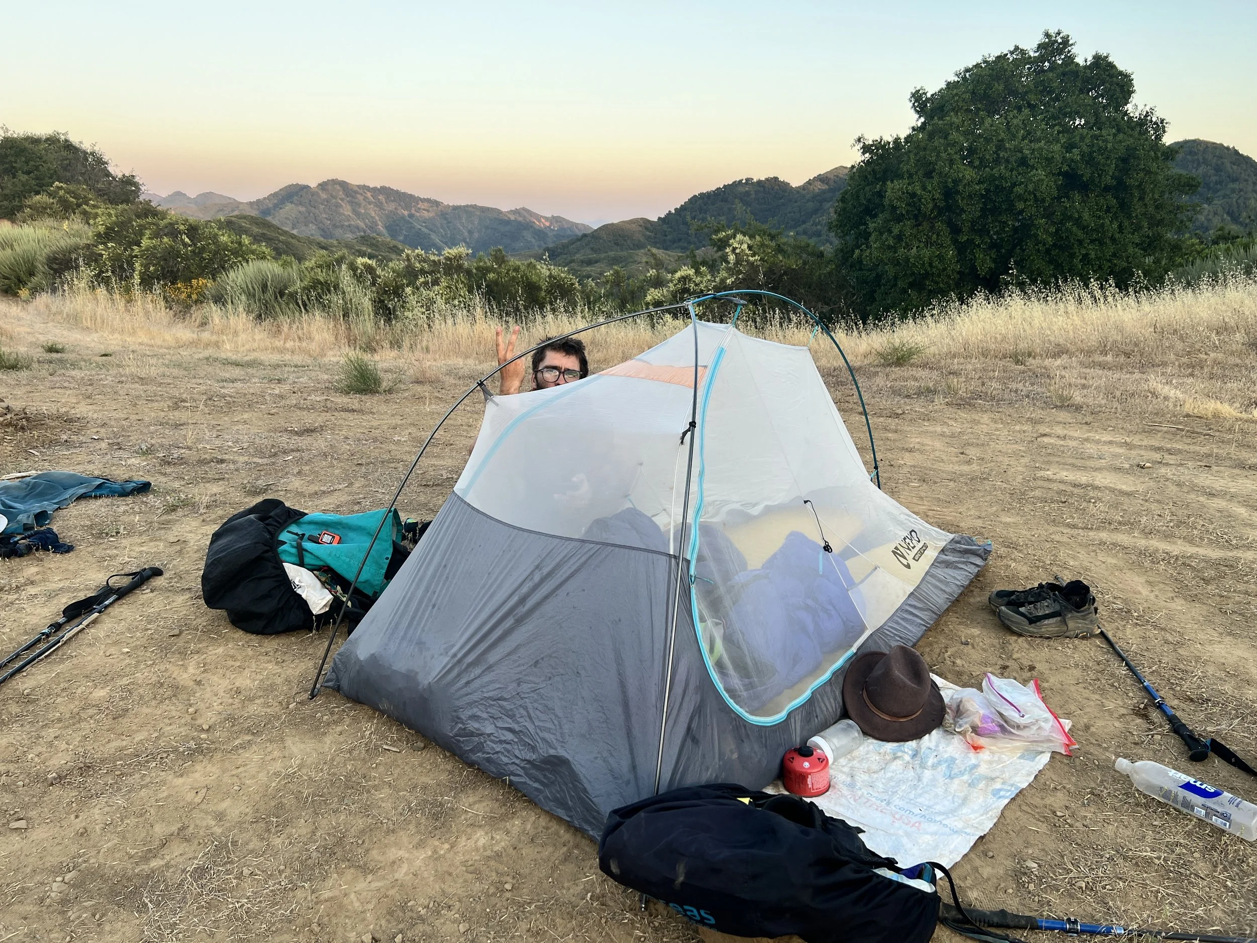
When we’re done, we tiptoe back to the camp spot, stepping carefully across the oak-covered ground like it’s a minefield. Our bodies are wet and slippery, our hands full of dripping clothes and gear, and every step feels precarious. We lift and place each foot deliberately, avoiding leaves and branches that could brush against us. Darkness presses down from the canopy above, making the forest feel tight and confining. It’s nearly 10 p.m. before we finally settle in, soaked, tired, hungry, and cold.
We eat what we can and laugh at how ridiculous the day has been.
Safely enclosed in our tent, a fragile fortress of mesh, polyester, and nylon, we watch countless moths gather against the walls. The evening feels eerie, filled with mysterious crunching noises that circle around us all night. Neither of us sleeps well, the night alive with the sound of heavy steps pacing in a large circle around us all night.
Day 16 | May 30, 2025
I wake up at Buckeye tired and uninspired.
In daylight, the camp is just as overgrown with poison oak as I pictured in my nightmare the night before. We sleep in after a late night and don’t rush to start hiking. Time in the tent has become one of the best parts of the day, so I want to linger.

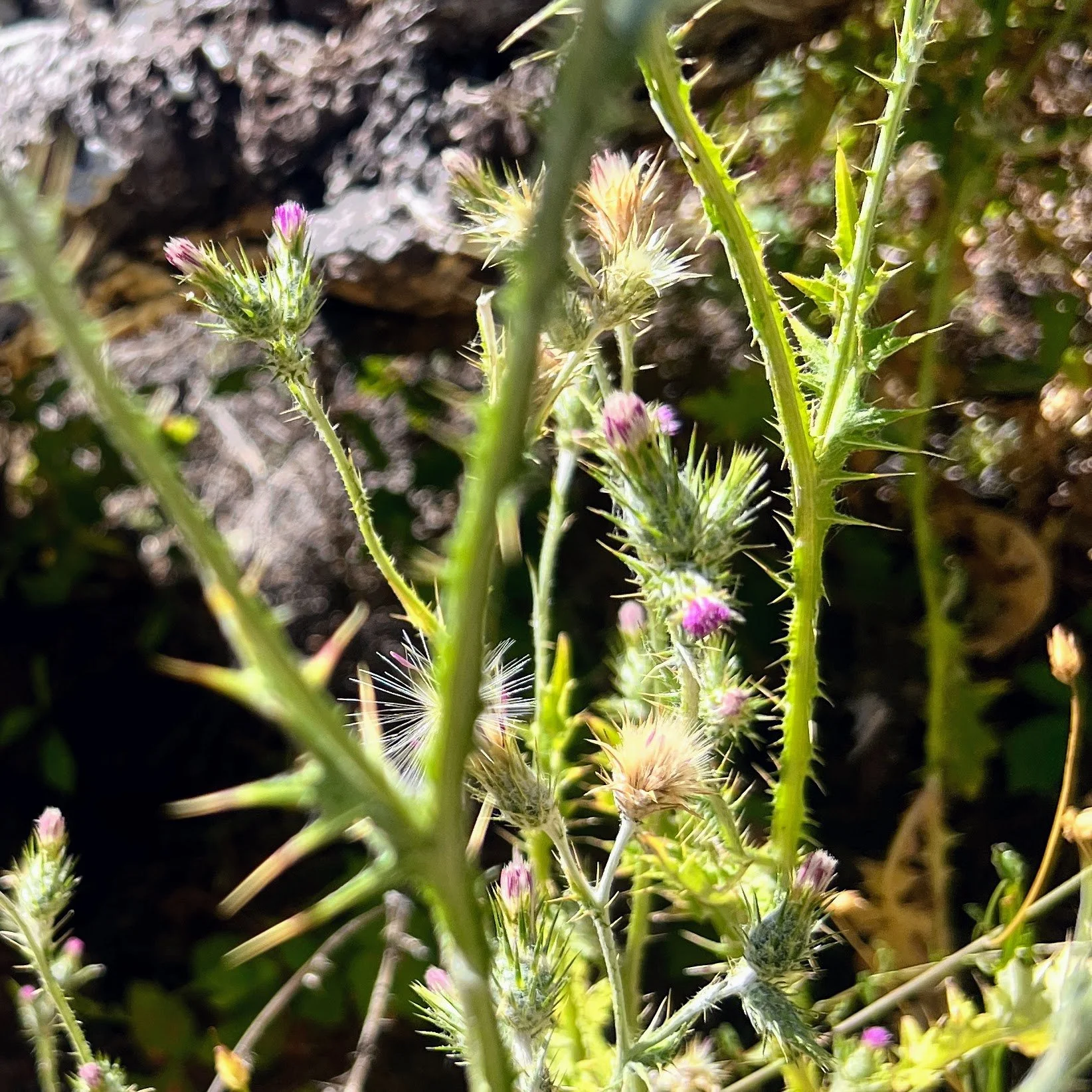
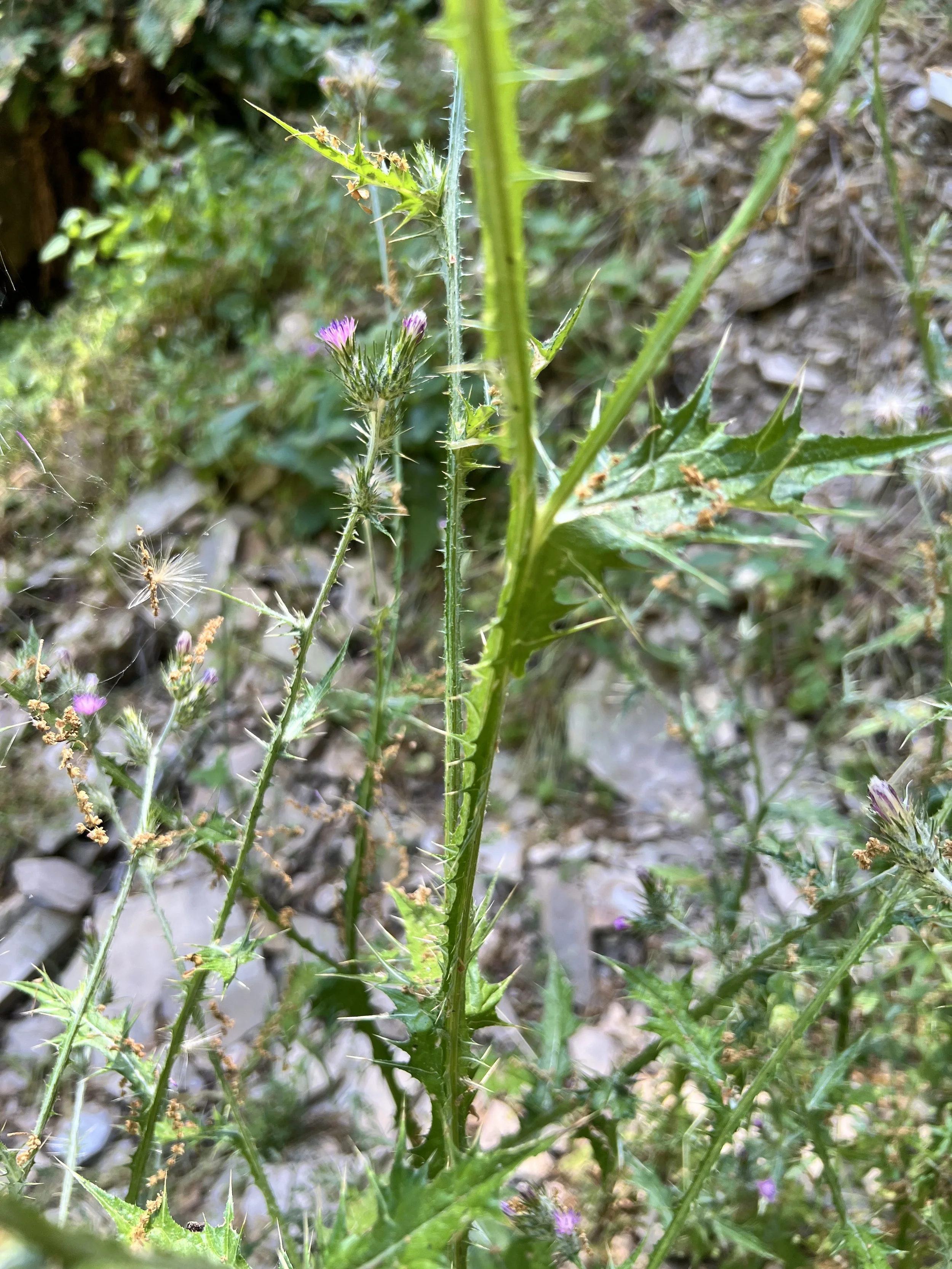
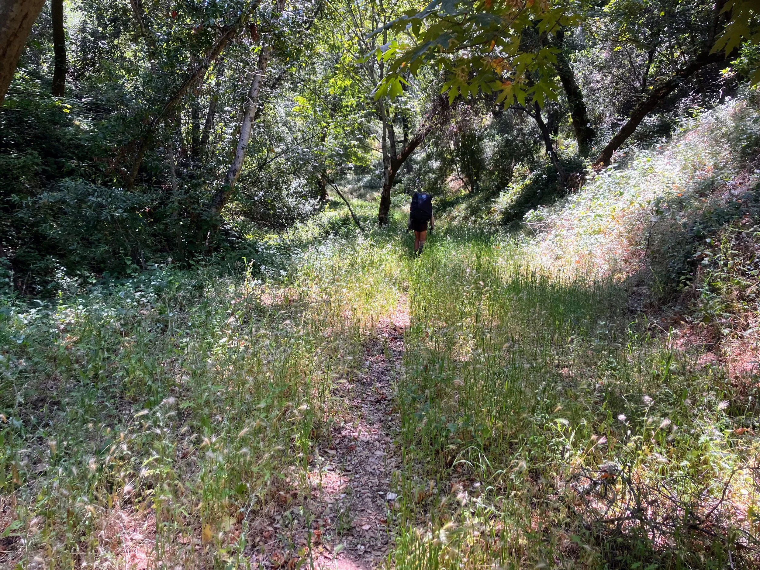
When we finally get moving, the trail is a narrow single track overgrown on both sides, poison oak on one, sharp and sharper thistle on the other.
Flies hover around my face, not biting, just buzzing. The sun is already hot, and sweat pools inside my black rain pants, dripping down my legs, sneaking into every crease of skin and stinging every scratch and scrape.
We lose the trail to poison oak along Trout Creek and walk upstream through the water for a good hour before finding it again.
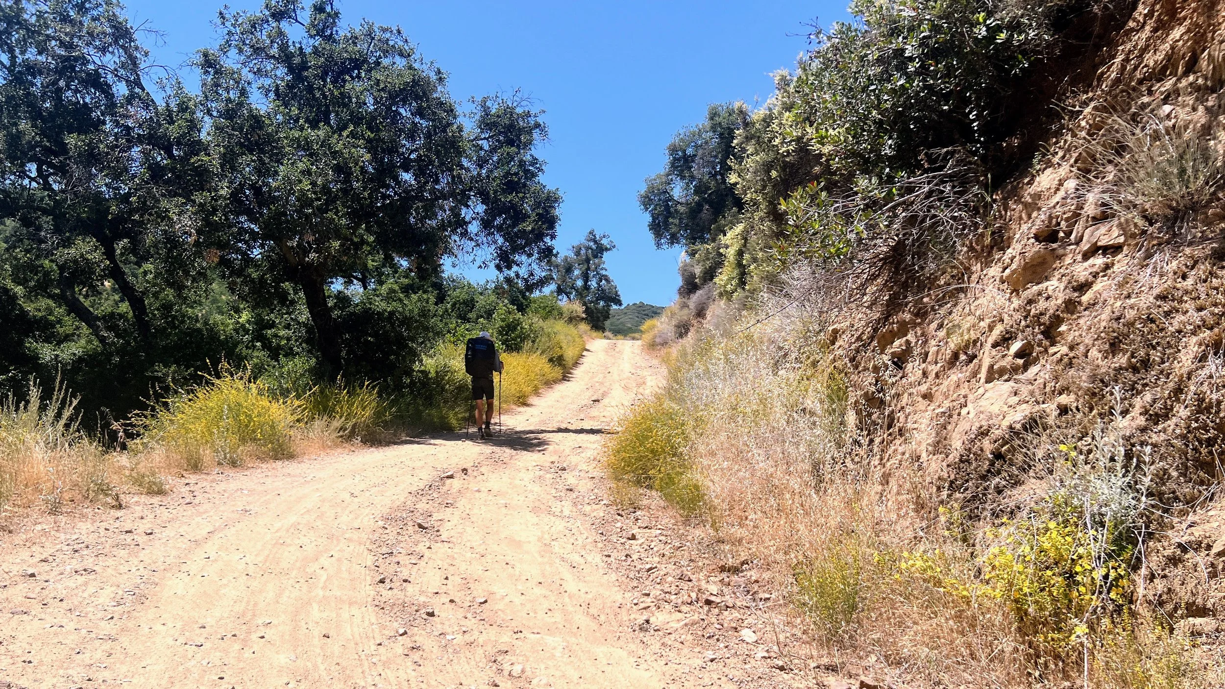
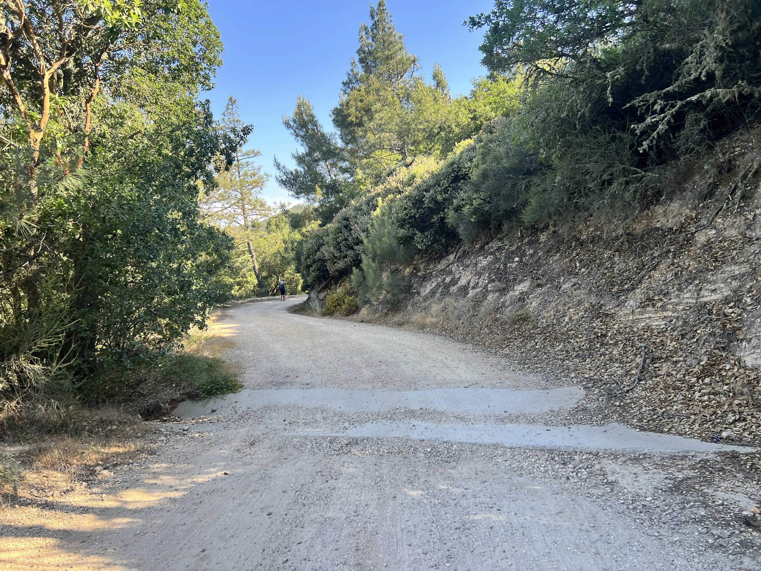
We emerge from the oak-choked Trout Creek Trail onto a wide, open dirt road, a relief after the tangle of brush. The Condor Trail follows Hi Mountain Road only briefly before turning west onto Hi Mountain Trail. On the map, we see that if we stay on the road instead, it runs parallel and reconnects with the official route farther up. We don’t know the actual conditions of Hi Mountain Trail, but by now it’s a safe bet that any trail will be overgrown and full of poison oak. We decide to make our own alternate and stick to the road, which turns out to be a good call.
It’s hot and we’re moving slow. The road is mostly shadeless, with only the occasional oak or sycamore to duck under. I start to notice a poison oak rash spreading across my leg and hip. When I can, I scrub with water, alcohol, and Technu.
Sweat soaks my clothes as we trudge uphill.
Every so often a cool breeze sneaks through. It brushes against my skin, soaks up sweat, and for a second it feels euphoric. Then it’s gone.
My feet feel swollen, too wide for my shoes, like they’ve outgrown them, though I don’t think they’ve ever felt like they fit this whole trip. Funny how I seem to notice the soreness most when we’re finally on terrain that’s actually hikeable.
I’m down to half a cup of water, and we’re gambling on finding more at Lower Falls, three miles ahead.
Luck’s on our side, there’s water, and we each fill about six liters. The weight of the water is heavy but comforting.
We keep climbing and camp at Upper Big Falls trailhead, in an open spot off the road. It feels good to finally be out of the poison oak and dark forest. The views here at the edge of Lopez Canyon are fantastic. Apprehension remains, as we’ll descend into the canyon first thing tomorrow, where we’ve heard recent reports of rough bushwhacking and boundless poison oak.
Coyotes start to howl as the sun sets. After weeks of nothing but bird calls, it’s a welcome addition.
Day 17 | May 31, 2025
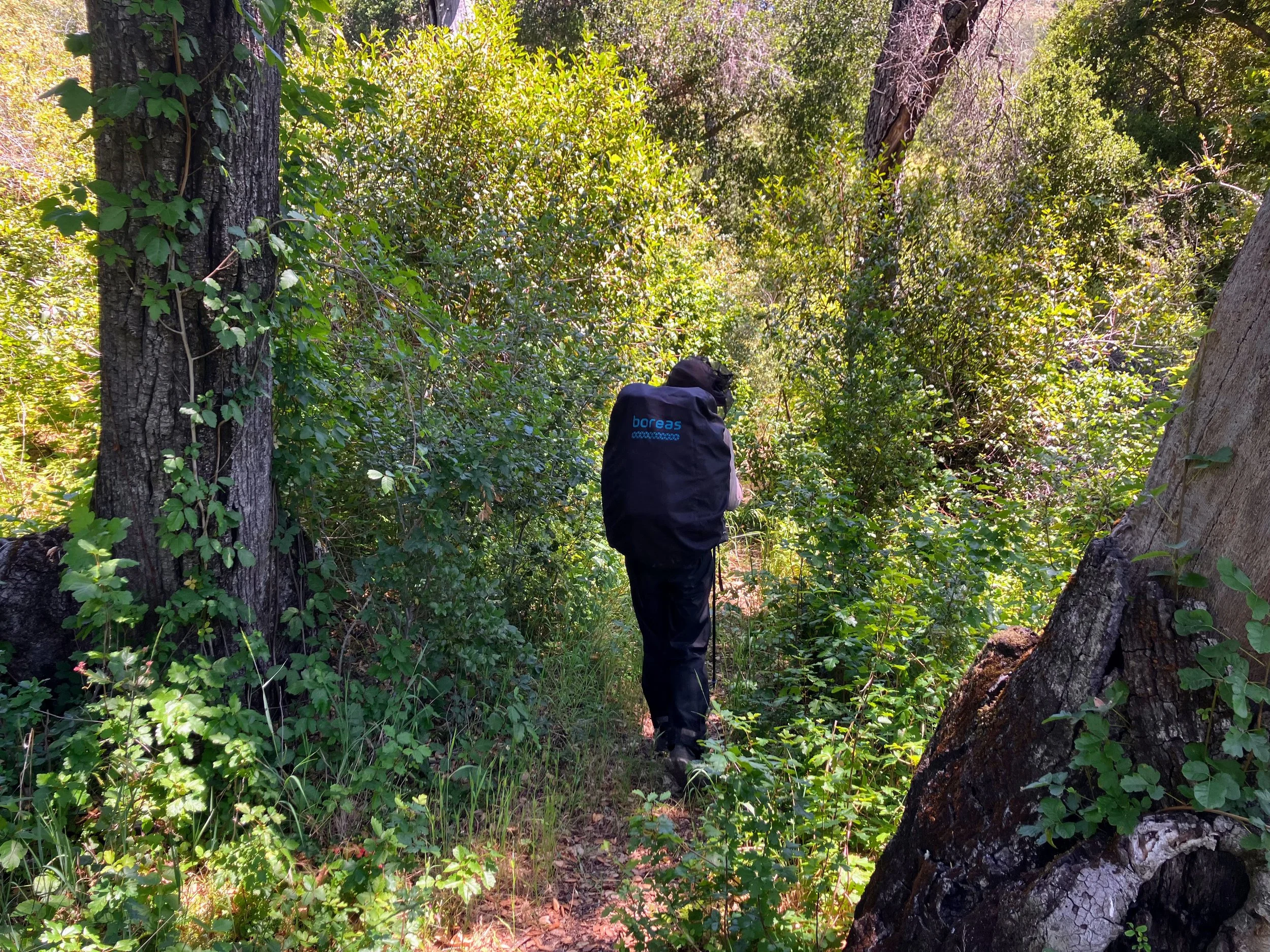
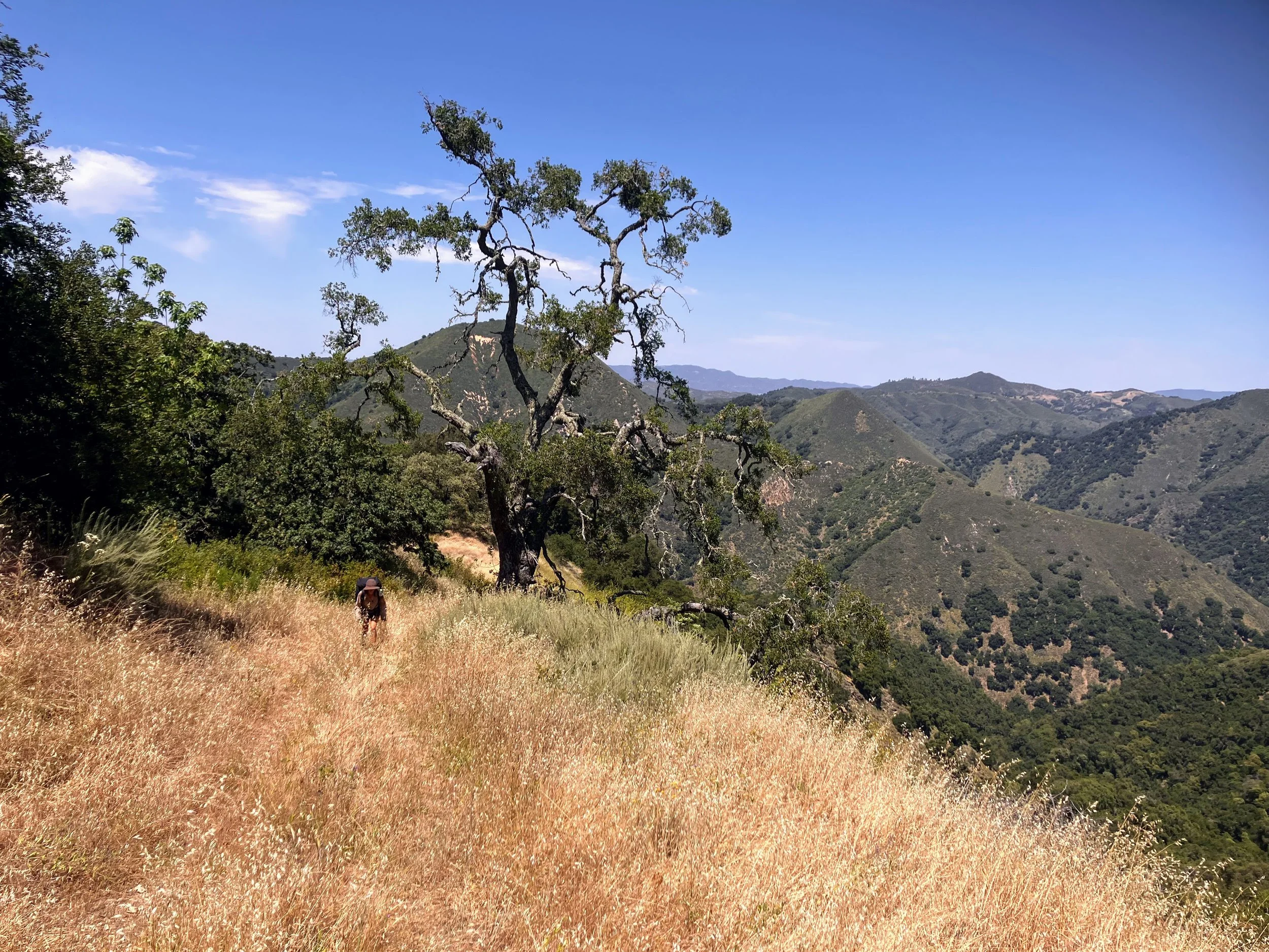
We leave the openness of our ridgetop road and start to descend into the canyon via Big Falls Trail. The hiking is relatively easy, with some brushy spots and a few short but steep climbs.
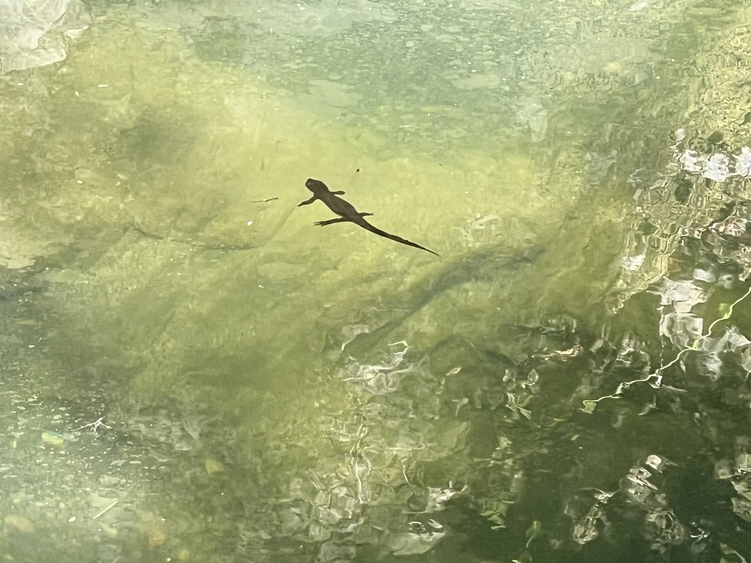
Crossing into the Santa Lucia Wilderness, we drop deeper into the canyon, following a year-round stream that tumbles in a chain of plunges. Water slides over slickrock, carving stair-stepped pools. We cross the stream again and again, the waterfalls too vast to take in from one spot, revealing themselves in tiers as we circle around and descend.
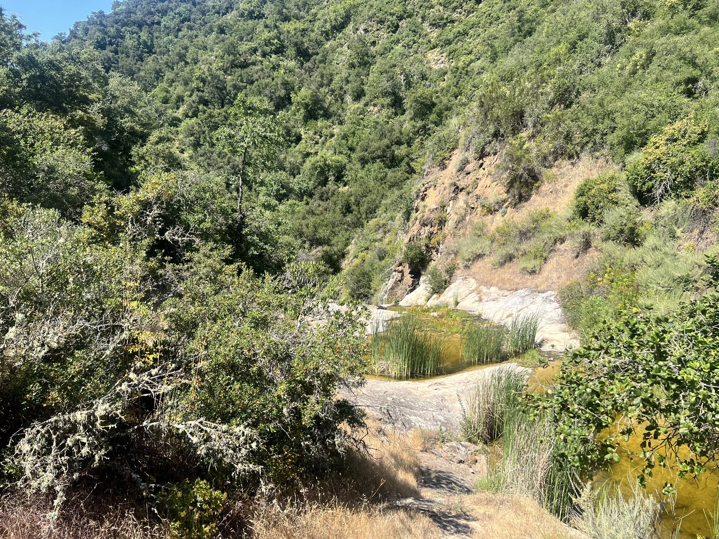
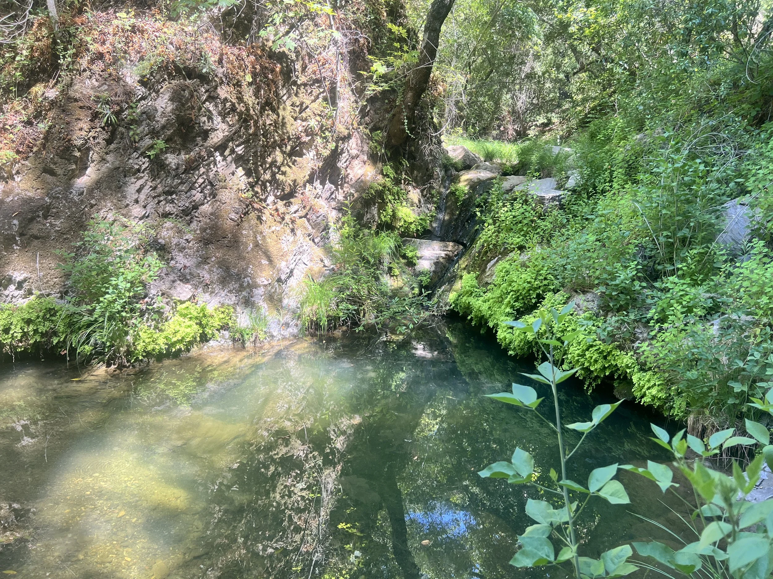
The canyon is lush: ferns and grasses at our feet, sycamore and oak spreading shade overhead, swimming holes tucked into the rock. It’s beautiful, a cool refuge from the heat, but I can’t relax. The steep, uneven terrain and slick rock keep me on edge, and the farther we descend, the more the trail is laced with poison oak. At this point it feels less like a plant and more like a presence, lurking in the undergrowth, patient and waiting to punish the unwary wanderer.
As we approach Lopez Canyon Road, we spot people for the first time in days, college students in swimsuits, heading toward the water. The contrast of their bare skin to our grimy, fully covered layers is stark. They brush past us, laughing loudly, unconcerned by the oak we’ve been carefully dodging.
We get to the trailhead at the bottom of the canyon and drop our packs, spreading gear on the ground beneath the trail sign. A few cars sit in a small dirt lot in front of us. More college students emerge, moving toward the creek, laughing and oblivious to us. We are like ghosts to them, probably not surprising given our age, our filth, and the total contrast between us and their carefree energy.
We take turns staying with the gear and heading to the creek to scrub the poison oak oil off ourselves. I start to enjoy it, a sneaky way to scratch the itches from my rash.
We settle in the shade, filtering water and snacking, when a red-haired young man on a mountain bike rides up. Standing over his bike, feet on the ground, he pauses, takes a swig of water, and looks at us.
“Hey, where are you coming from?”
We tell him some trail names from the last few days, then mention the Condor Trail.
His eyes widen and he nods at each canyon and trail name we mention. “I had a feeling you were doing the Condor Trail!” he says, genuinely excited. Unlike most people we talk to, he actually knows the route. We trade trail and canyon names back and forth, and it feels good to be understood.
His name is Boss. He’s a local, knows the area well and has done some research on the Condor Trail. He studies the map with us, tracing where we have been and where we are headed, giving us solid beta. He laughs and shakes his head at our poison oak stories, validating every complaint. When we ask about the next section, he warns that the canyon only gets worse and suggests an alternate up an abandoned private road that leads to the ridge on the other side of the canyon. His confidence is convincing, so we take his advice.
We walk away with six heavy liters of water each and start along Upper Lopez Canyon road. We soon veer from the road and the Condor route to take Boss’s alternate up Fern Canyon along a faint track.
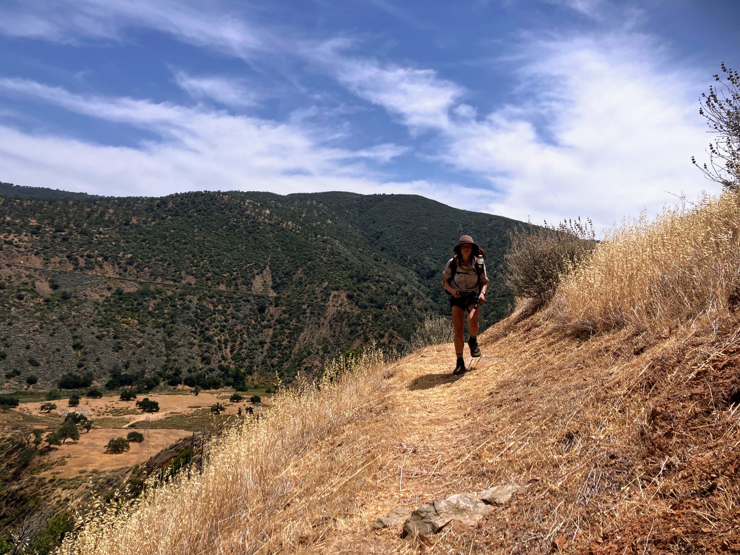
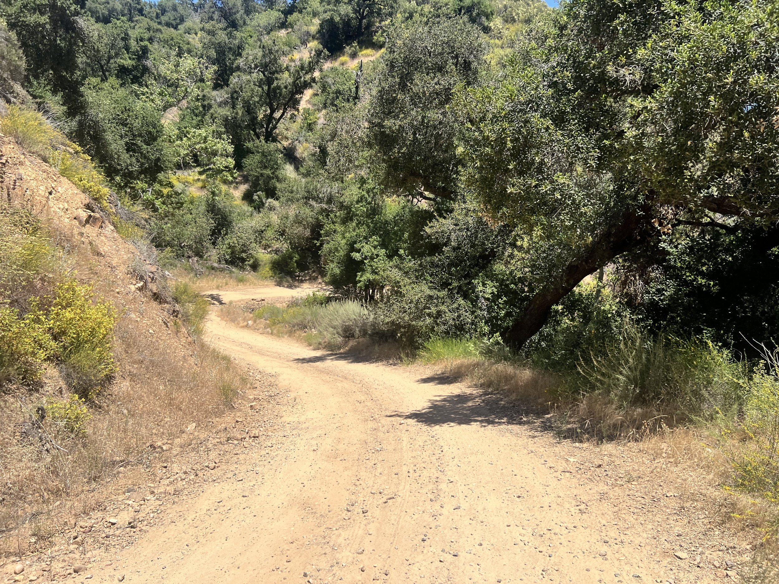
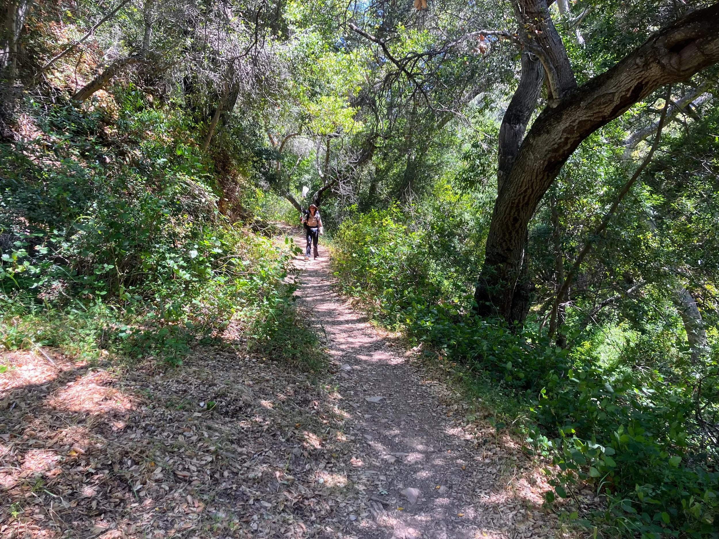
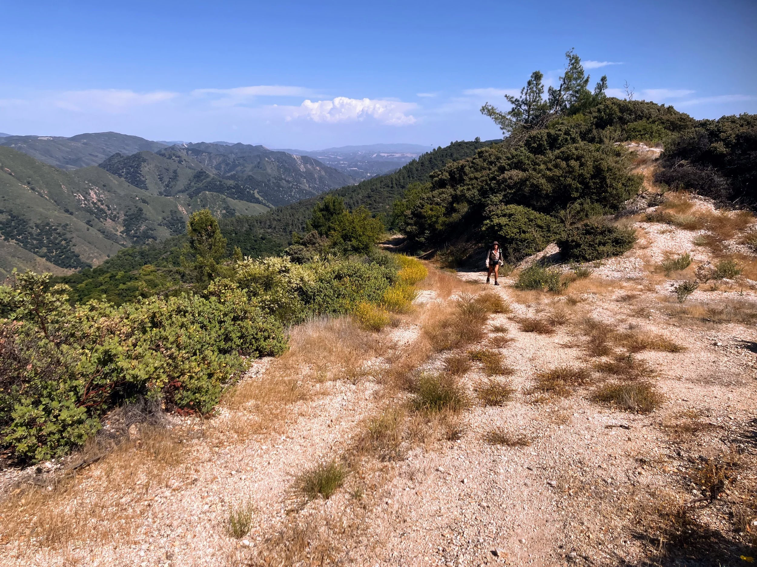
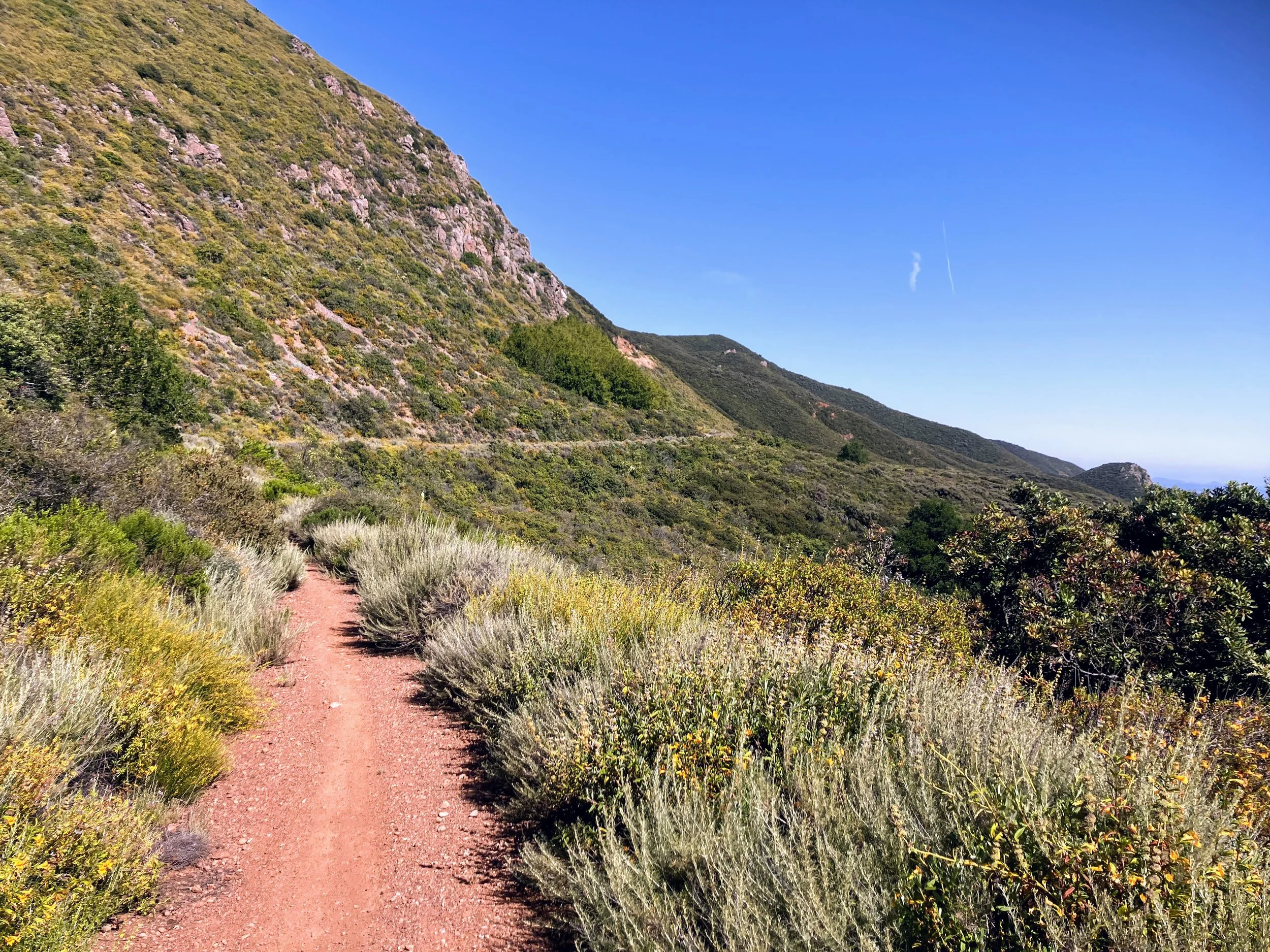
The route through the canyon is exactly as Boss described. Sharp thistles scrape my legs occasionally, but overall it is manageable. The old roadbed winds through Fern Canyon and connects to another dirt road along the ridge. It is open, easy to follow, and a relief after the steep, heavy climb.
Fern Canyon stretches just over a mile and climbs more than 1,500 feet. It’s steep and sweaty.
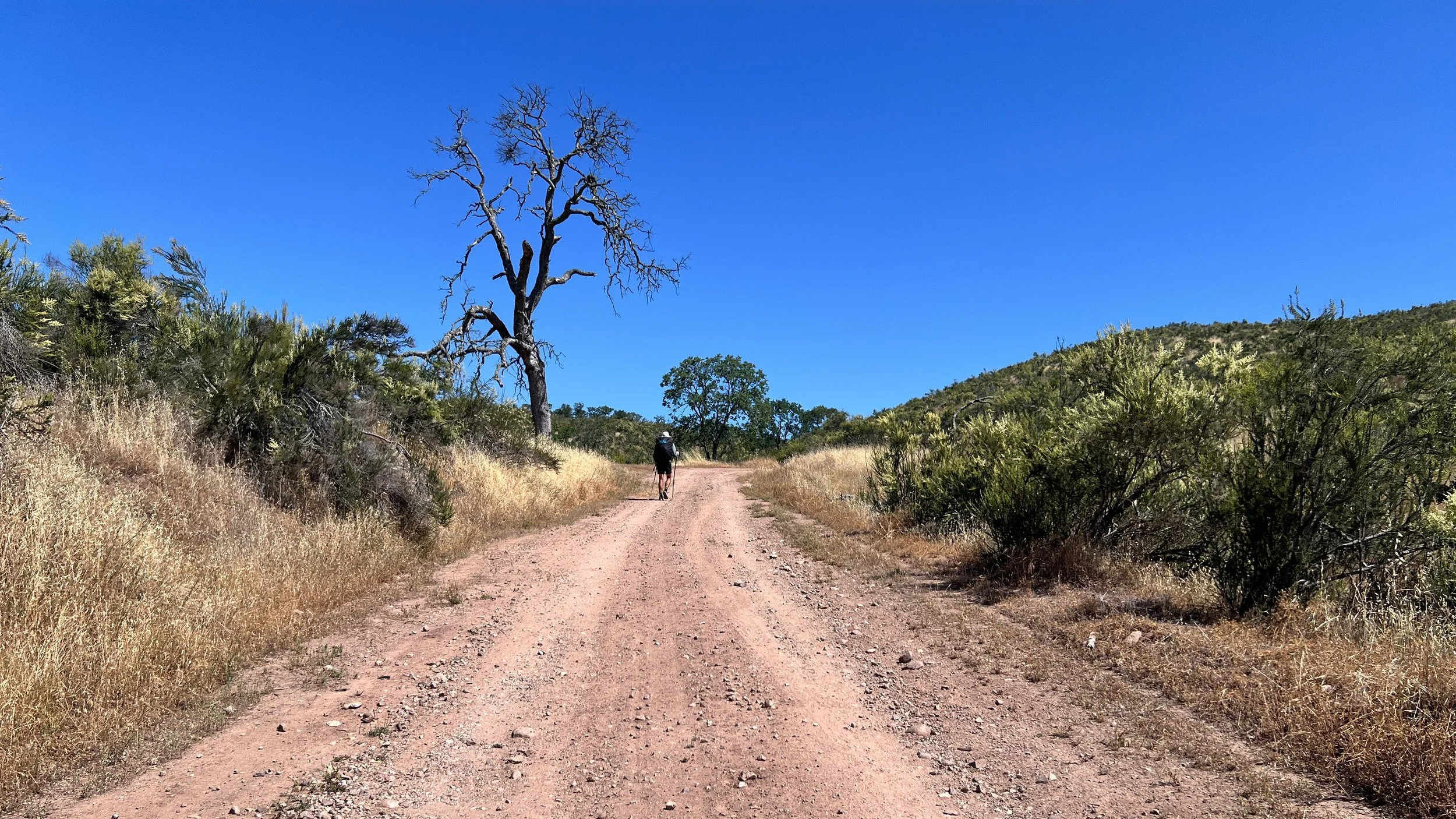
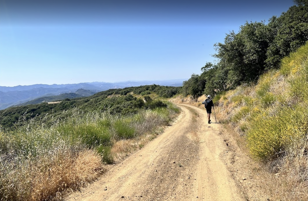
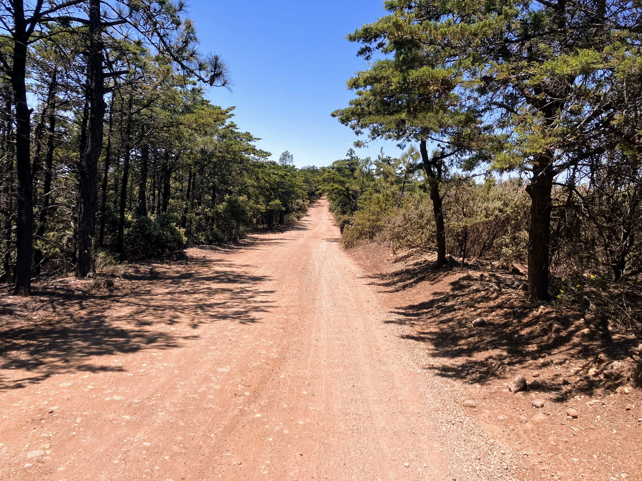
At the top, the canyon opens onto Burrito Creek Road. The dirt road is easy to follow, a relief after the strenuous, brushy climb. The terrain rolls gently, with short ups and downs. It’s peaceful.
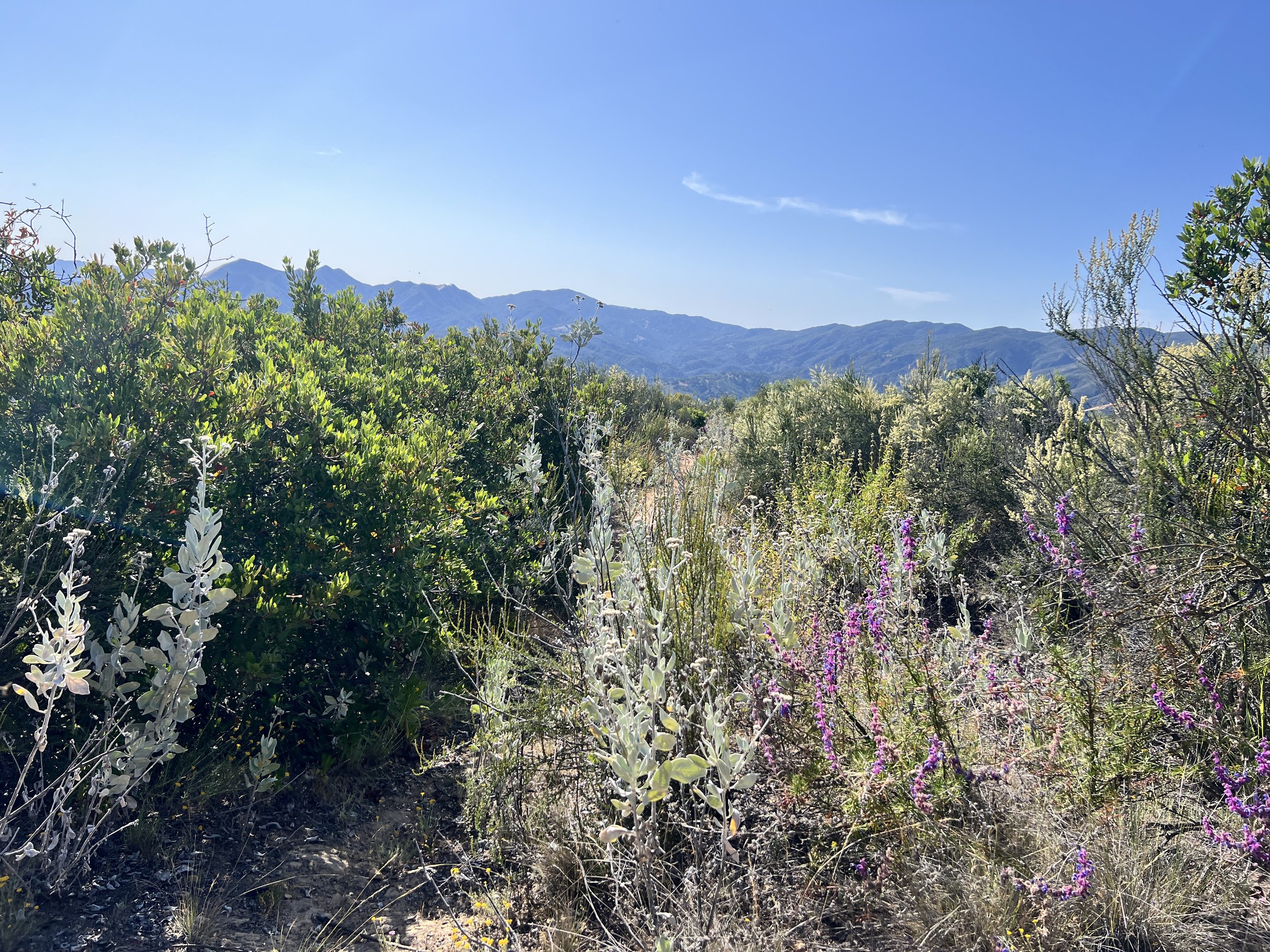
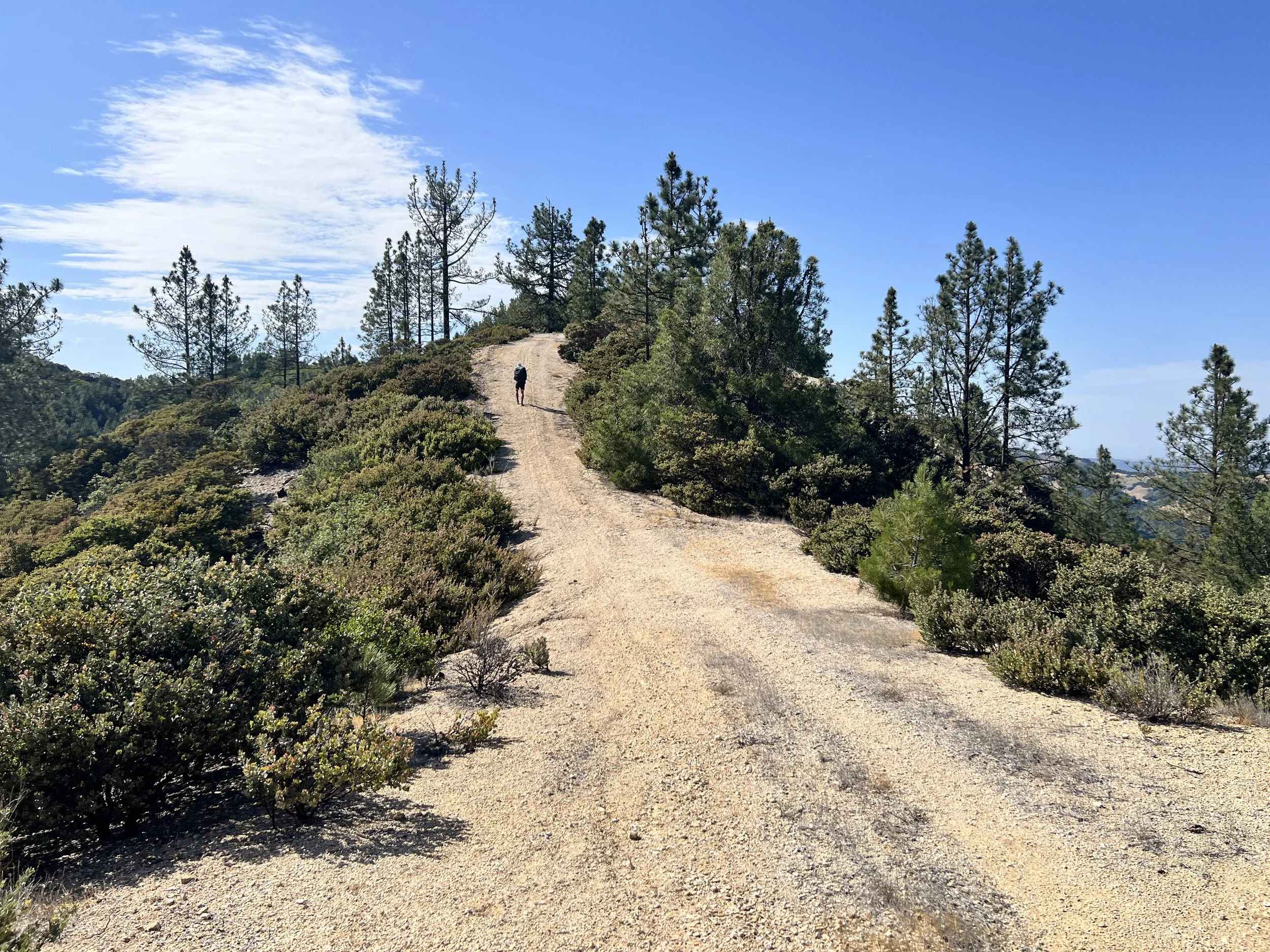
Patches of tall pine line the road, a welcome change in both scenery and scent. The sweet, earthy smell makes me breathe deeper. Views along the ridges offer glimpses of surrounding hills and valleys, while the sun stays constant overhead.

The road is easy to navigate, but there is no water. It’s hot, and I hope we have enough.
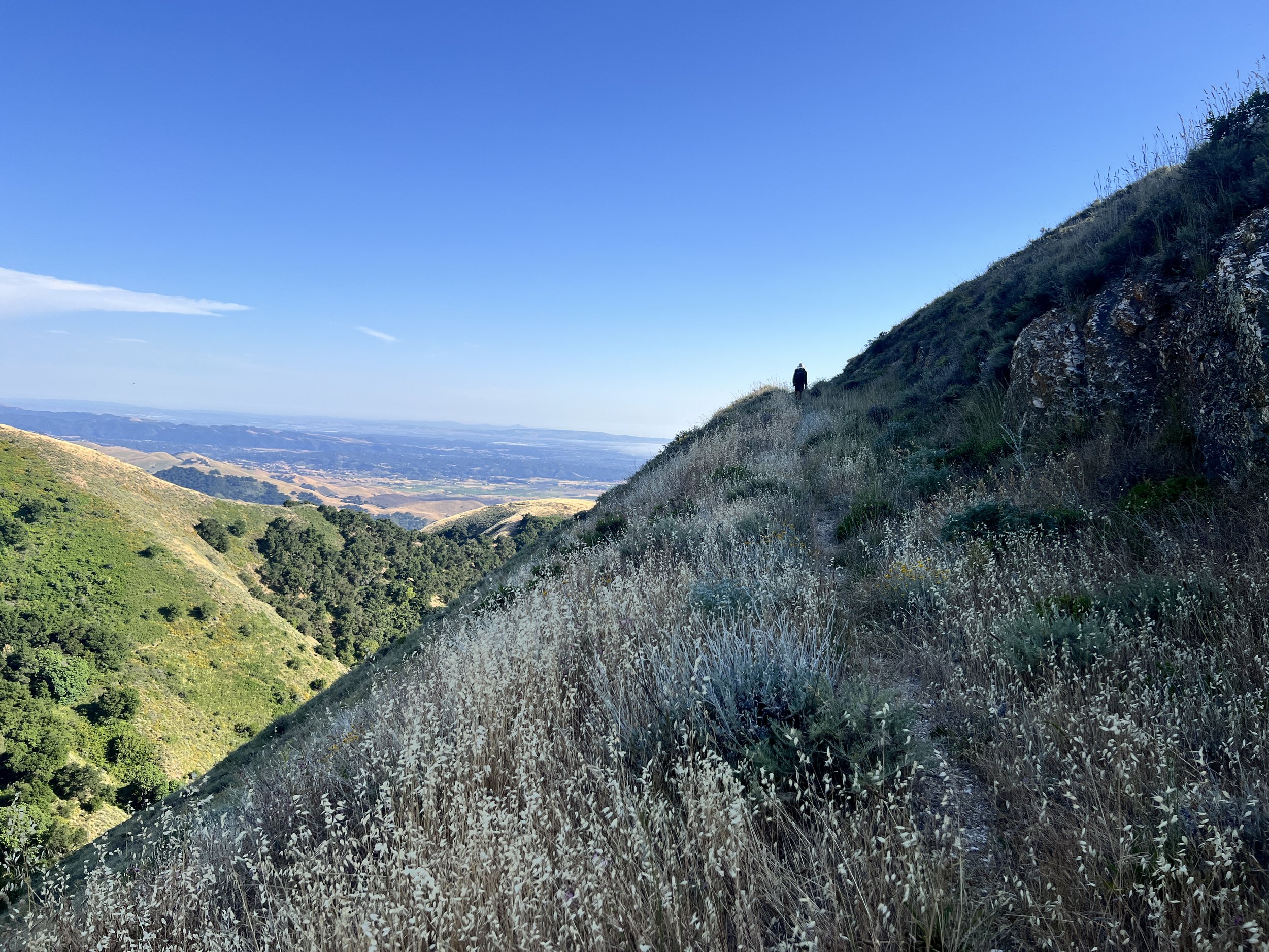
We reconnect with the official Condor route in the early evening, pass Lopez Canyon Trailhead, and continue along Mount Lowe Road.
Road walking beats overgrown trails any day, though my feet hurt and we are both tired and snippy.
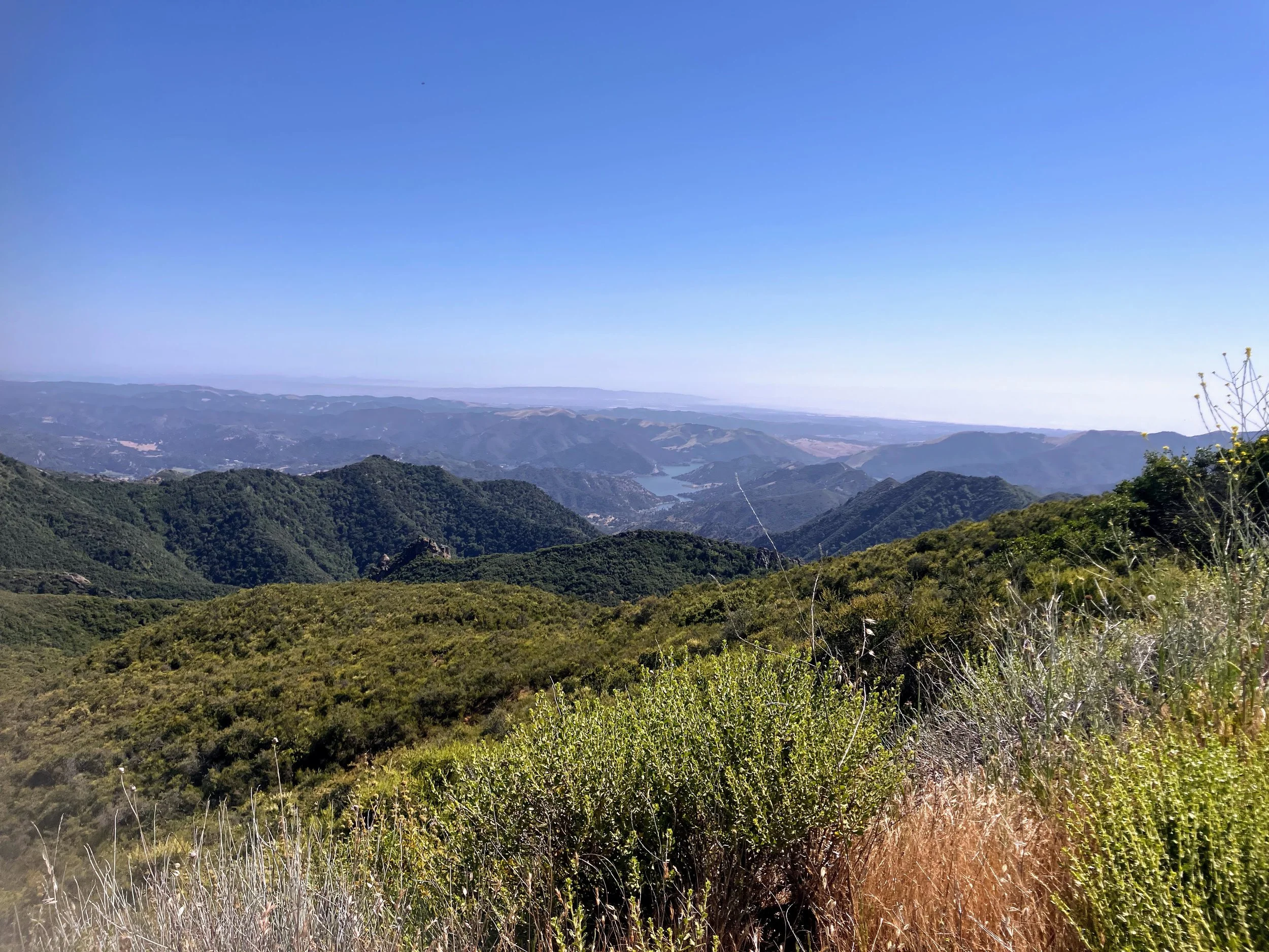
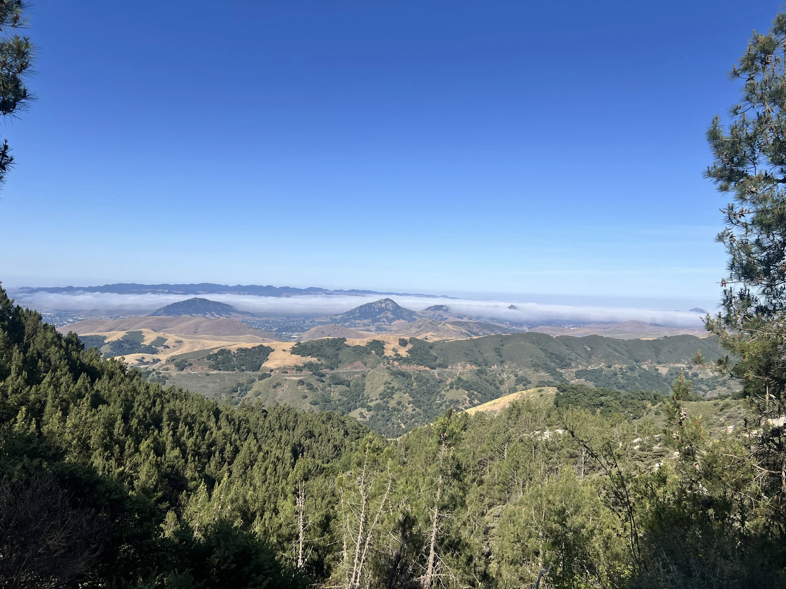
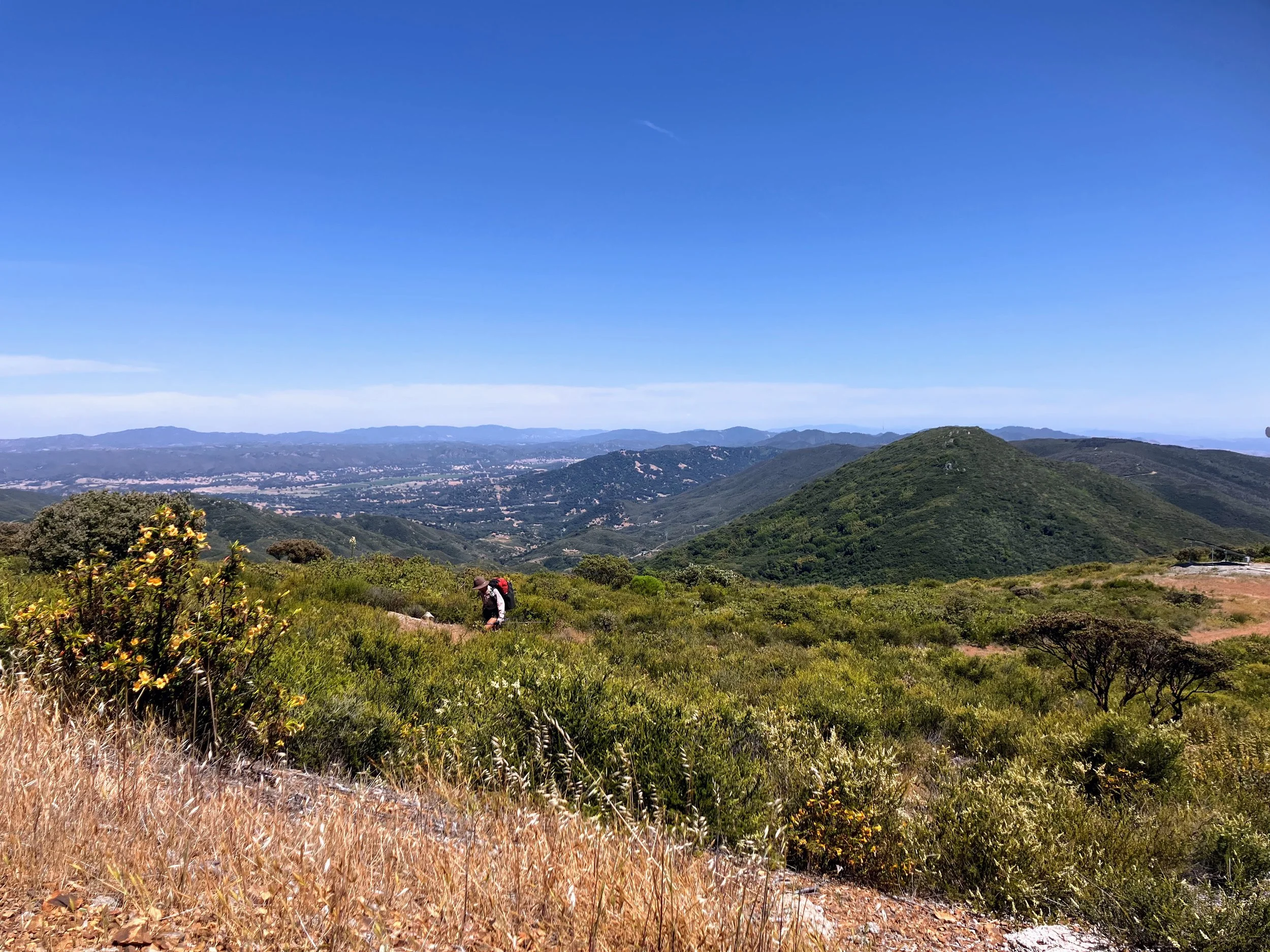
Pointed hills rise around us, a chain of volcanic domes known as the Nine Sisters. Their sharp, angular silhouettes cut the horizon, and in the distance we have a clear view west, where fog is creeping through the hills surrounding San Luis Obispo.
Seeing the city below, I think I might have service and pull out my phone to text Spacecase. Some trail magic would be really nice, and Cosmo agrees. One bar comes in and out. I have no messages or confirmation that Spacecase will meet us at Cuesta Pass, where Cosmo suggested earlier.
Feeling hungry, I type out a request just in case. “No pressure!!!!! But if you happen to have avocados or any vegetables or fruit, that would be AMAZING.” I pause, read it over, and worry it sounds too demanding, so I tack on, “Also, please don’t feel pressured to bring us anything.” The contradiction makes me laugh, but I press send anyway. I have no idea if the message goes through.
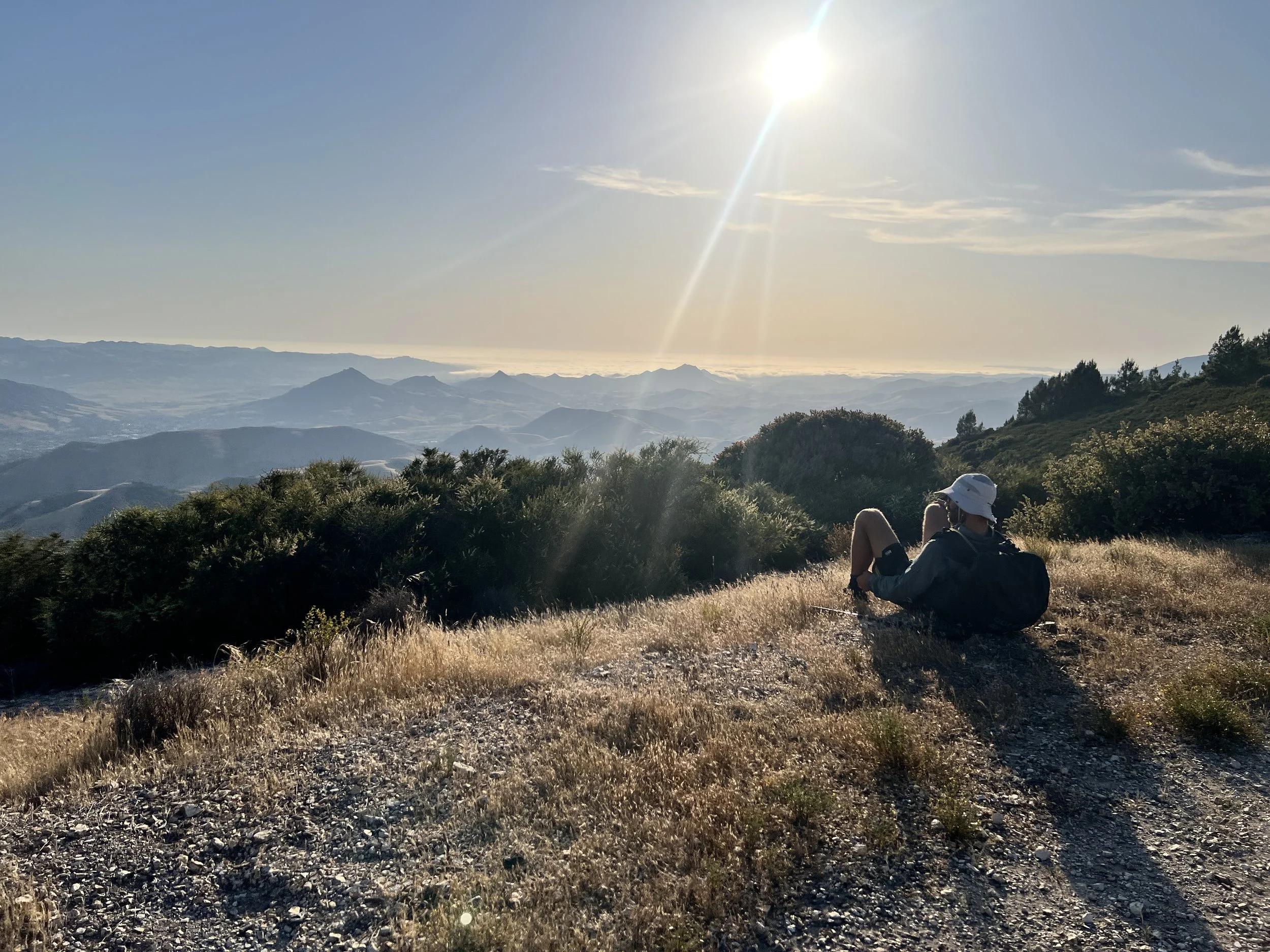
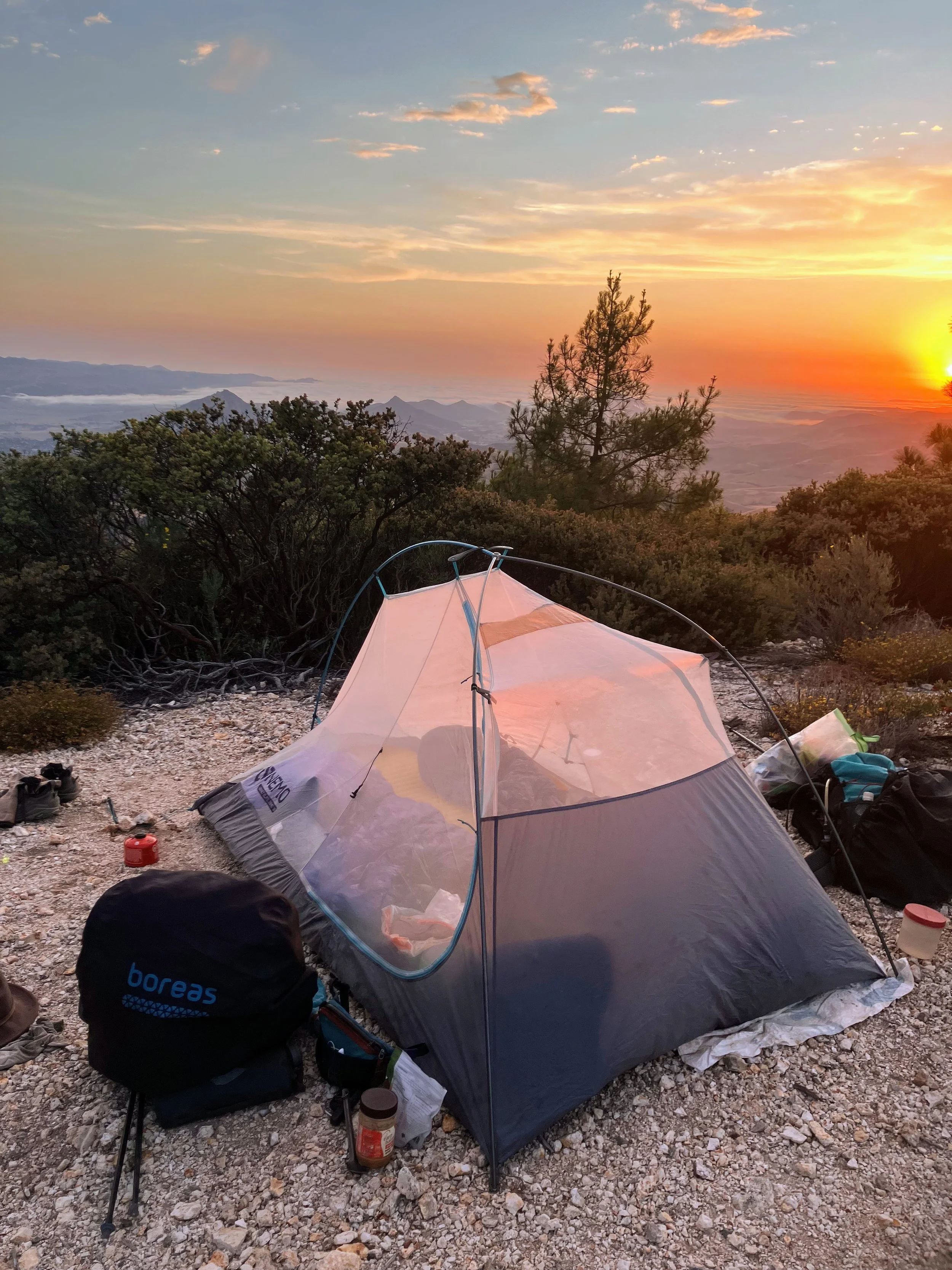
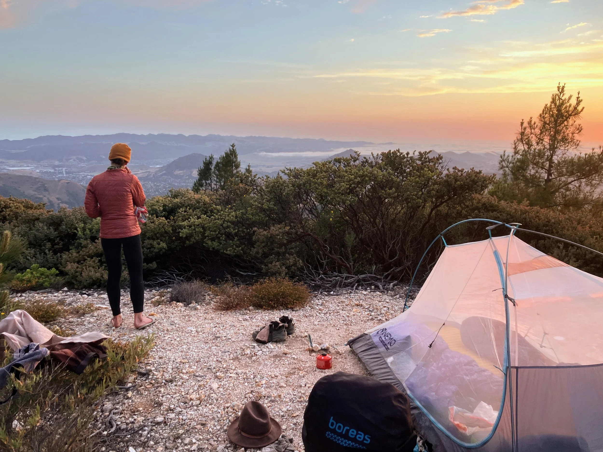
Around 7 p.m., we pull off the road, drop our packs, and sit facing the view.
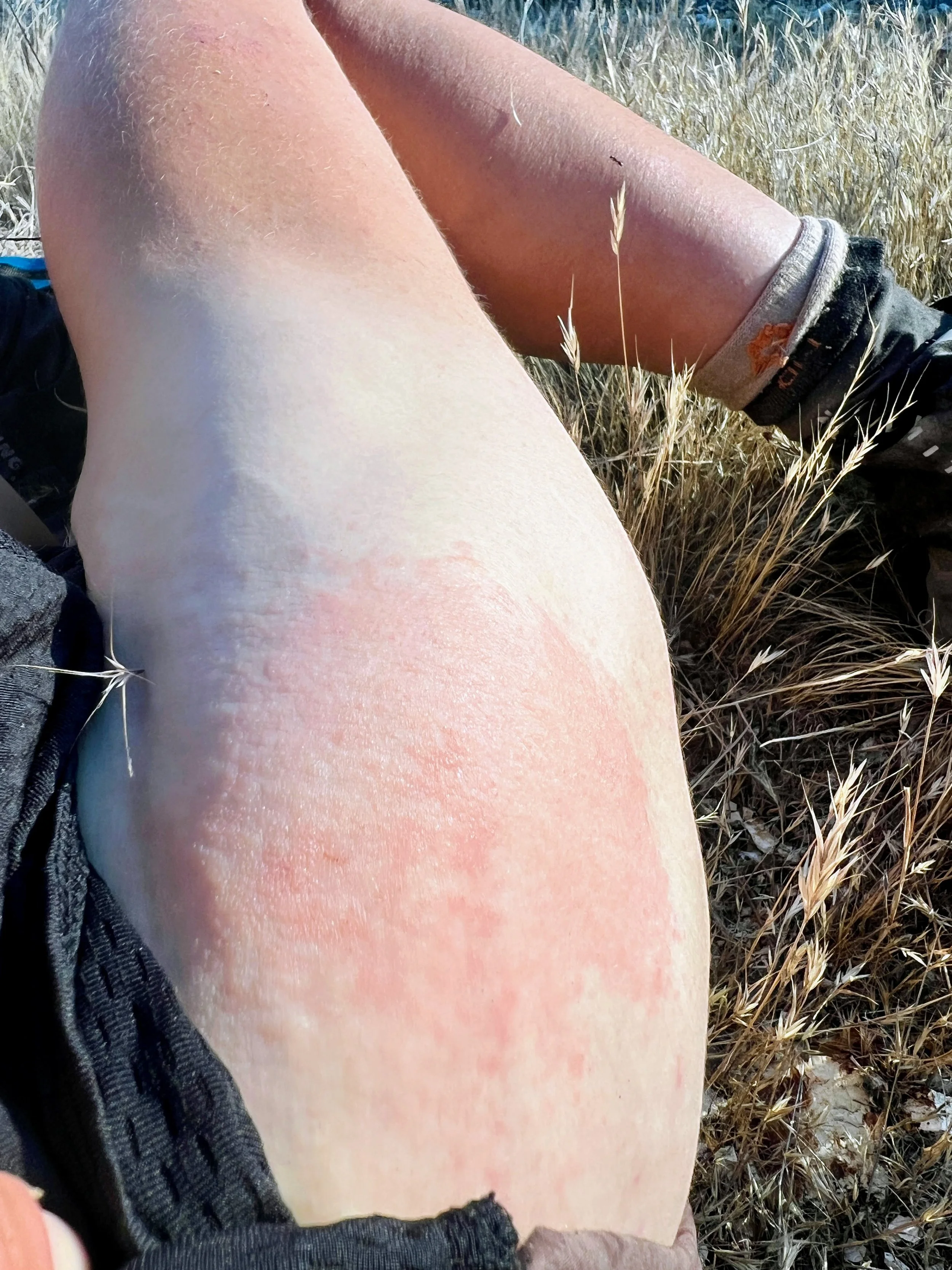
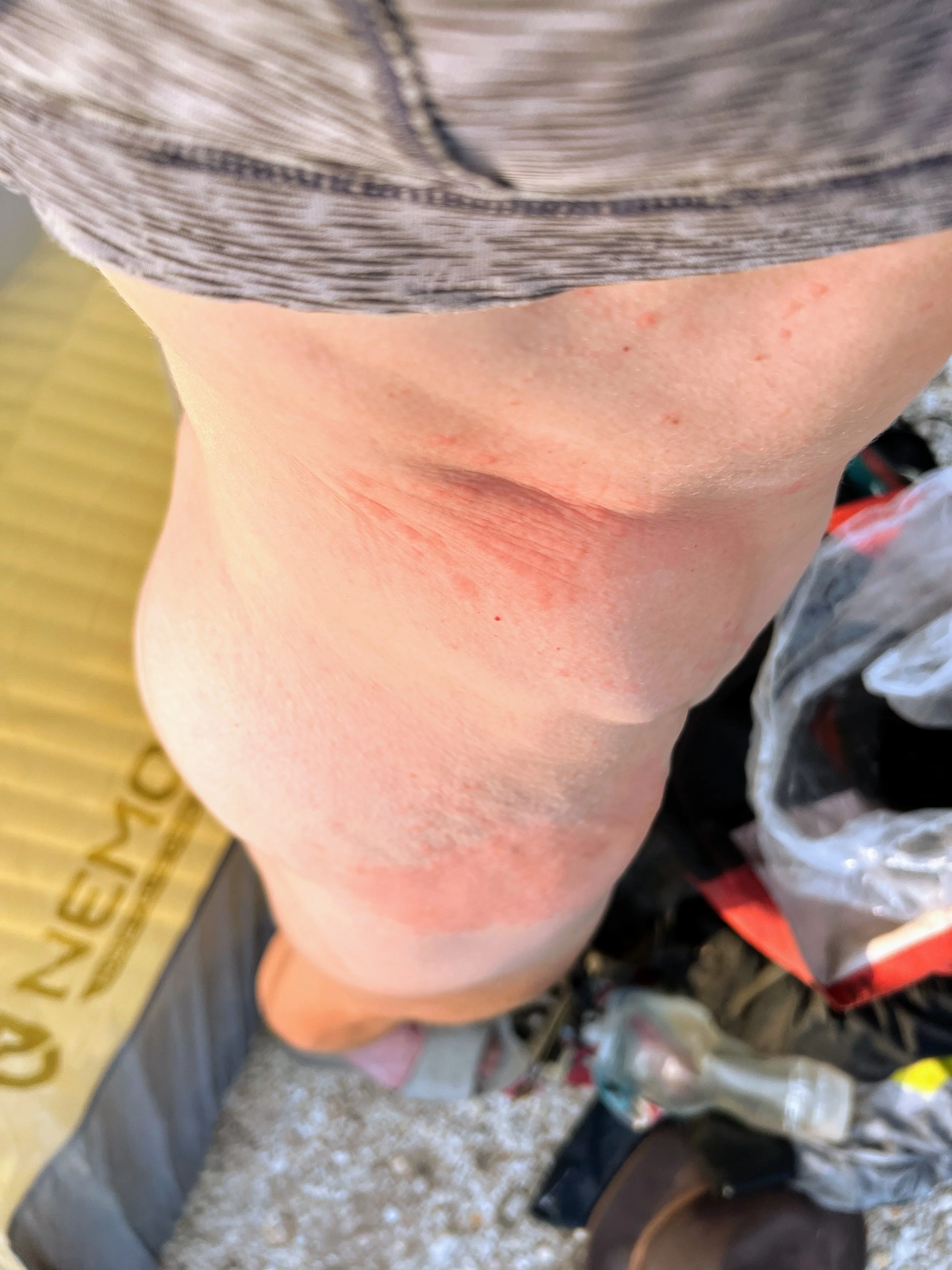
We set up camp and make dinner. As I change into my sleep clothes, I finally get a clear look at the poison oak rashes that have been itching all day. Two stand out the most. One stretches across my waist and up my side in multiple contiguous patches, spotty ovals that follow the natural folds of my skin. The other consumes the outside of my right hip, a single blotchy red mass with small clusters of bumps and irregular coloring that fades into normal skin. Smaller itchy spots appear behind my knees and on my ankles, but these two are the largest. I have no idea if it is still spreading or which of my gear might still have active oils.
The white noise of traffic and the low roar of the city feel shockingly loud after so many days in quiet canyons.
Day 18, June 1, 2025
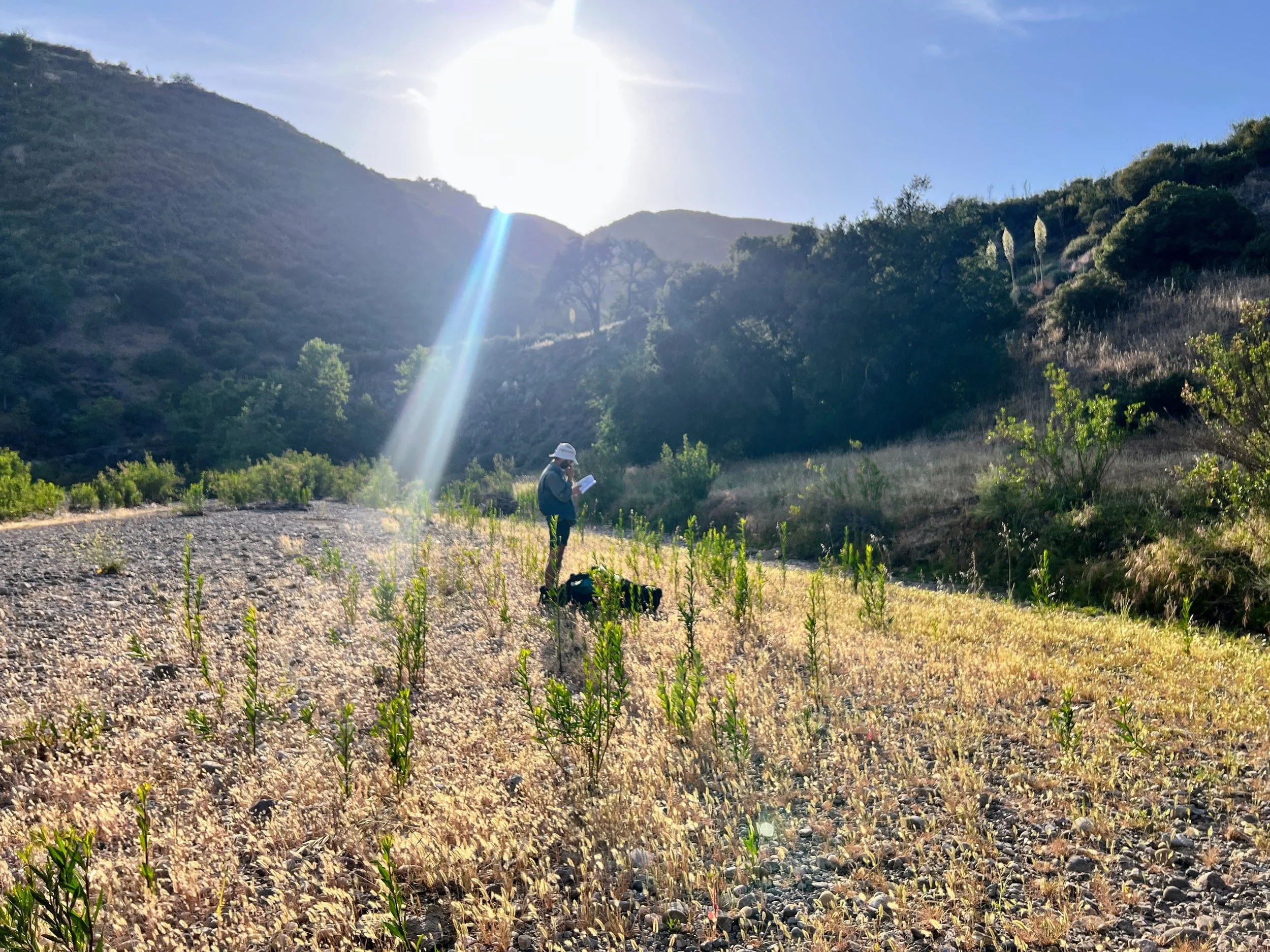
I dig a tiny piece of buckthorn out of a small cut in my thumb, then coat my poison oak rashes with a layer of Manuka honey. The rash has spread across much of my right side, from below my breastbone to the bottom of my hip, creeping dangerously closer to my crotch.
After packing up, I notice a huge blister on my left toe, like a tiny jellyfish stuck to my skin. I pierce it with a pin, wipe the yellowish ooze with alcohol, wrap it up, and finish lacing my shoes. Today feels cooler, about ten degrees less than yesterday.
I check my phone and see a text from Spacecase confirming he’s coming to meet us at Cuesta Pass. Yes! My stomach gurgles at the thought of real food, and I start to pack up a little faster.
We are only four and a half miles from the pass and it’s dirt road all the way. The white noise of civilization hums constantly, though much of the city is hidden under a dense fog rolling through the coastal hills. Two mountain bikers pass, one nearly clipping my toe. No bells, both times were startling. Out here, we’ve gotten used to having the trail to ourselves.
I get another bloody nose, this is happening almost daily now. My shirt is stained.
White noise swells into chaotic chords as we hike down Mount Lowe Road. I can see the traffic and hear the roar of Highway 101 creeping closer with every step, but I still can’t reach the end fast enough.
Cosmo gets there first. The parking lot at Cuesta Pass, right off the highway, has just a few cars. At first, we don’t see anyone. Then Spacecase steps out of his Honda CRV. He and Cosmo hug like two long-lost friends.
A grin spreads across my face and I run up to join them. Spacecase pops the trunk, revealing a buffet-style hiker spread. Our eyes widen: vegan burritos, avocados, kombucha, hummus, fruit, and more. I can’t believe it. I don’t know where to start, I want it all at once. I hug Spacecase again.
We drop our packs and dig in, talking fast, jumping from one topic to another, pausing to unwrap burritos, sip kombucha, and pass around snacks.
It’s a huge morale boost, not just for the food, but for the company. No one else is thru-hiking the Condor Trail, most people don’t even know it exists, and true PCT-style trail magic like this is unheard of. Spacecase drove hours just to meet us, and after weeks on the trail, having a friend show up like this lifts everything. It’s a rare, perfect treat.
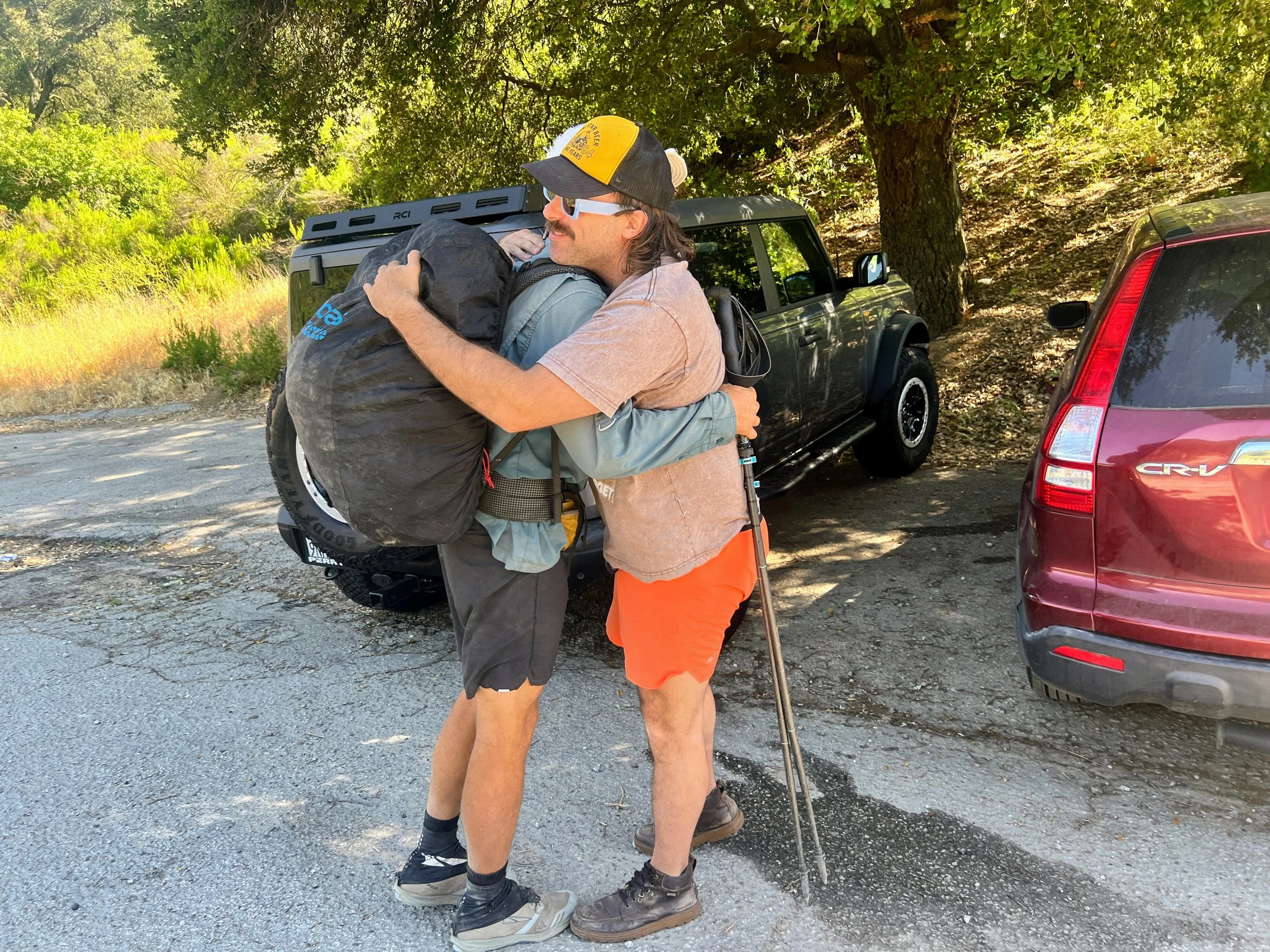
Our bellies finally start to fill, and it’s time to get moving. Spacecase drives us across the highway to the trailhead on the other side. We say our farewells and step back onto the trail, ready to continue.
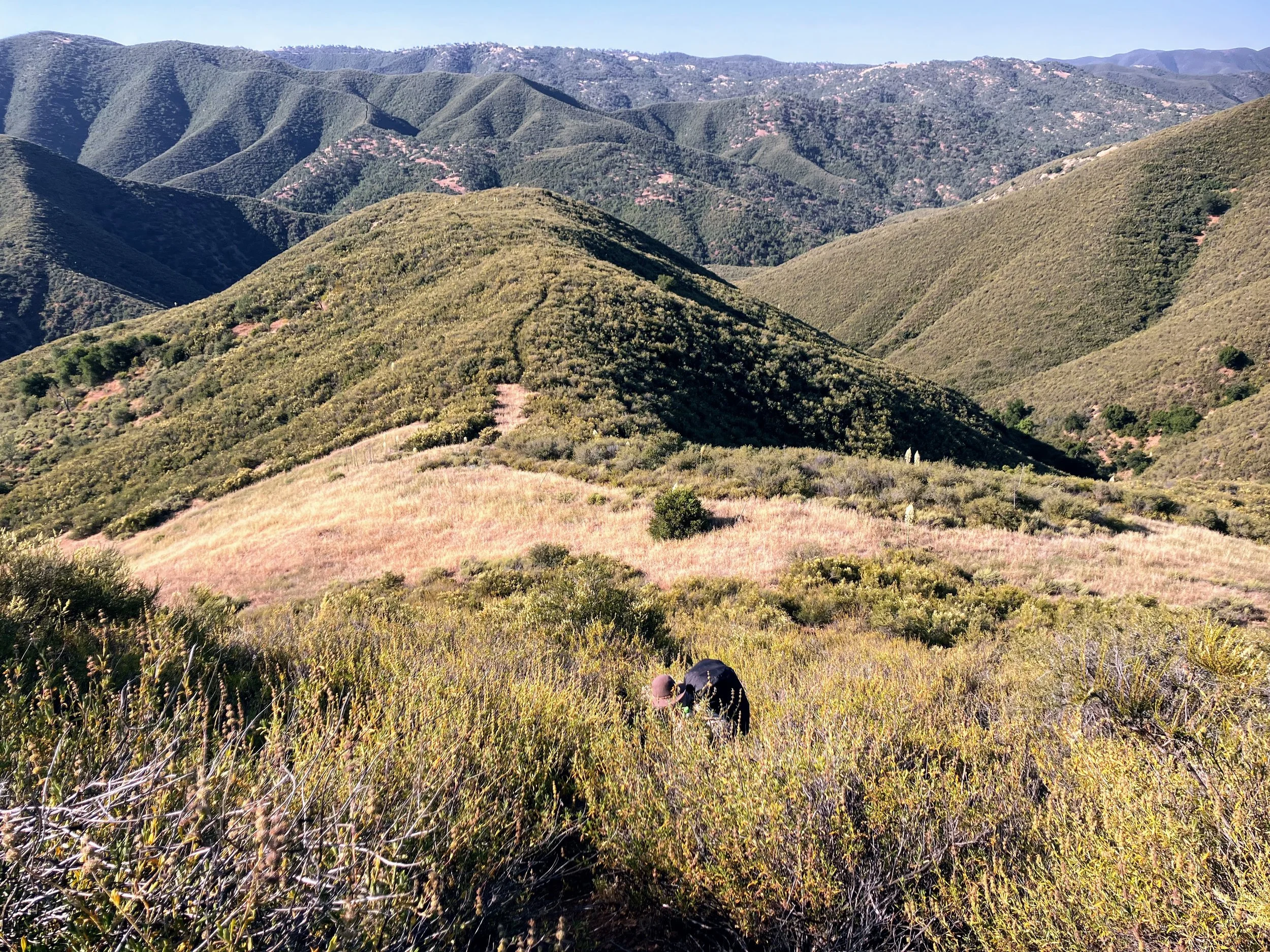
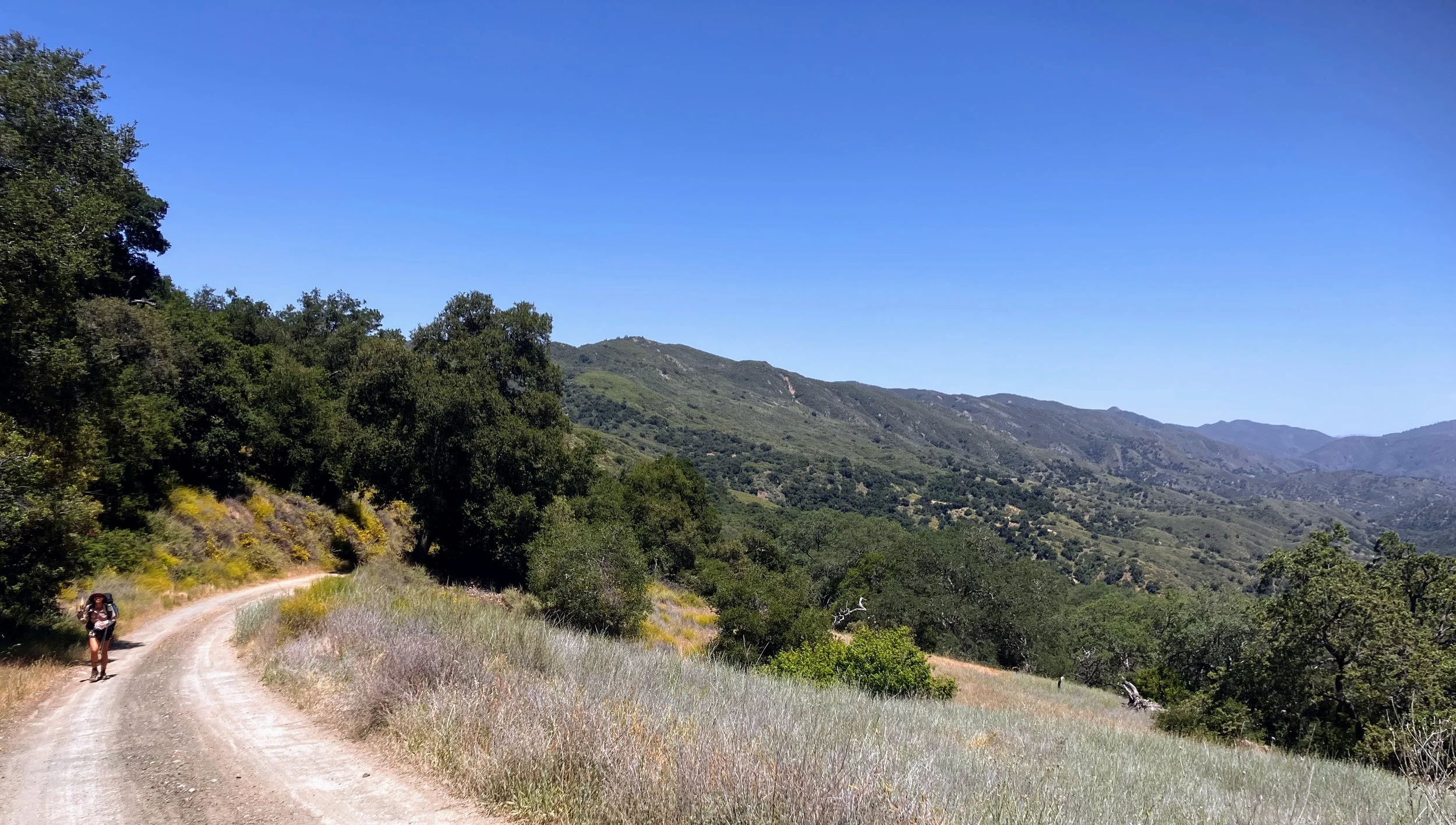
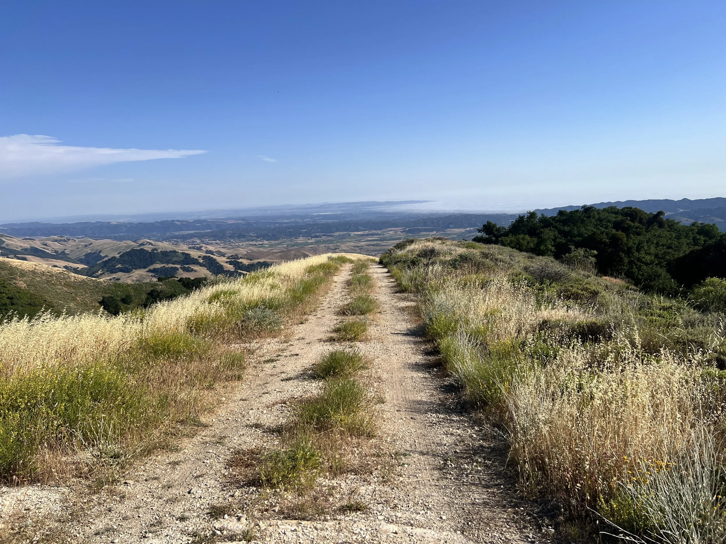
We follow TV Tower Road, a graded dirt track that climbs, dips, and winds along a ridge. The terrain is exposed, with no shade. From the road, views stretch wide, valleys dotted with chaparral, distant coastal peaks, and the ever-present ocean fog inching into the valleys. The hum of traffic fades as we climb, but we’re far from isolated. We pass car campers, trail runners, and mountain bikers who barely notice us. It’s nice to be on a dirt road with the cool ocean breeze, and I even take advantage of the good cell service and open terrain to call my dad as I hike, checking in and sharing a bit of the trail with him.

The road is mostly clear, though loose gravel and scattered rocks keep me on my toes. Scrubby bushes and manzanita line the edges, but there are no berries ripe for picking.
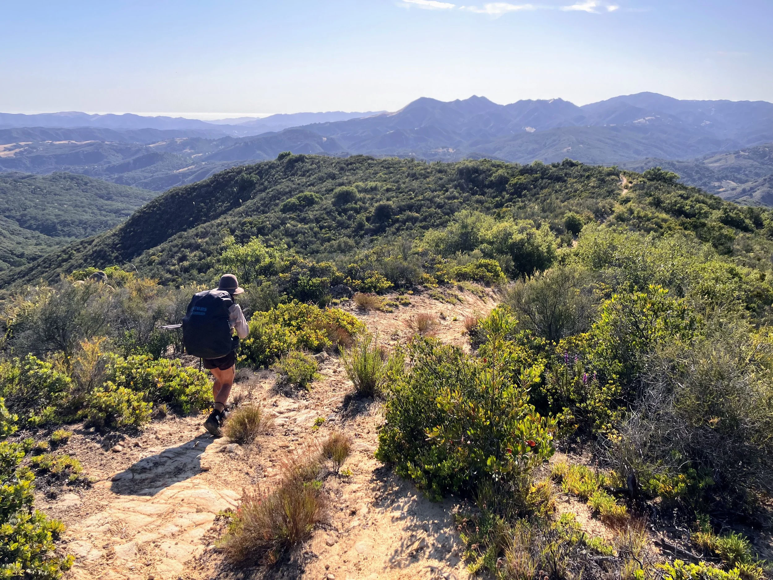
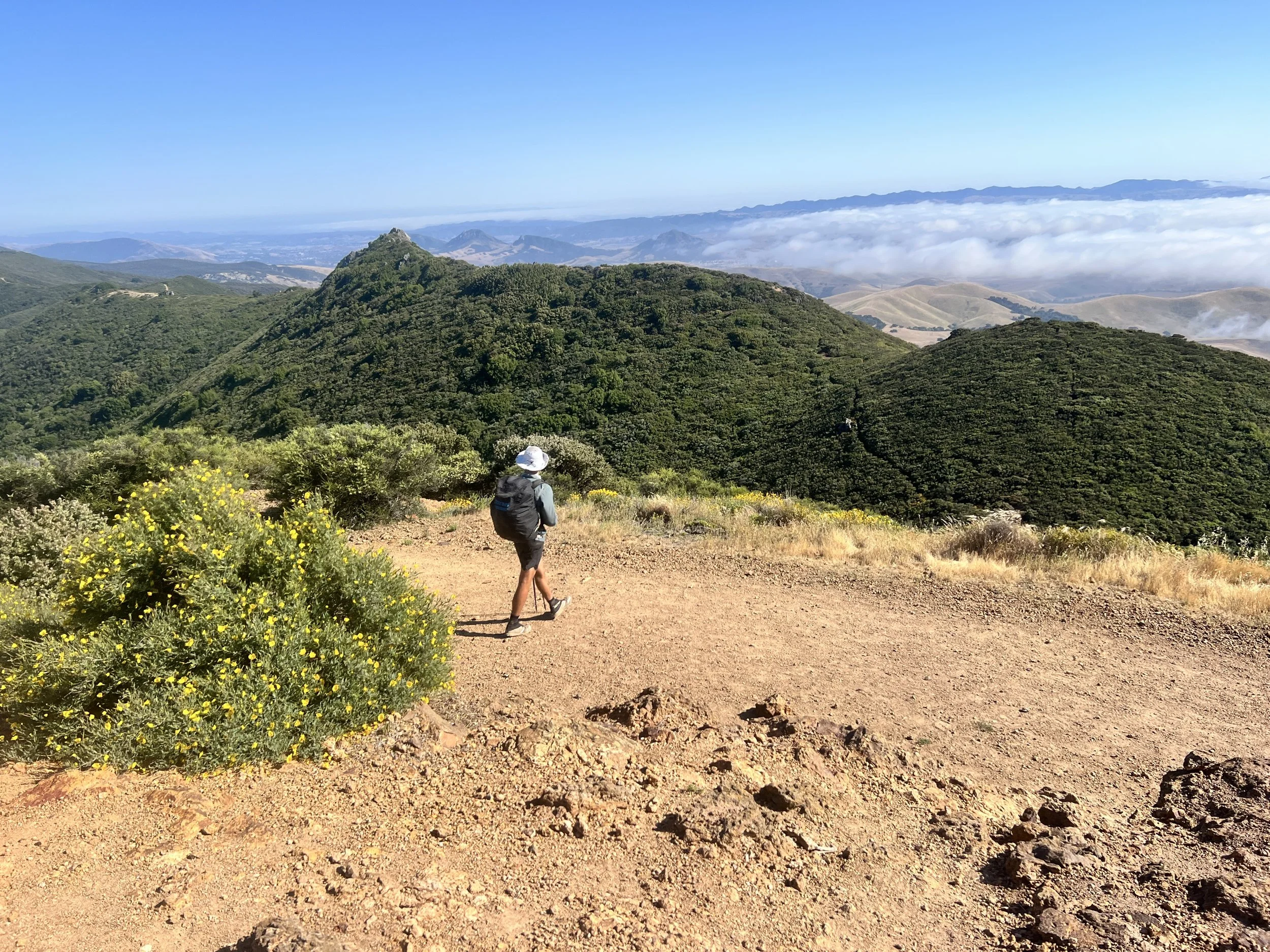
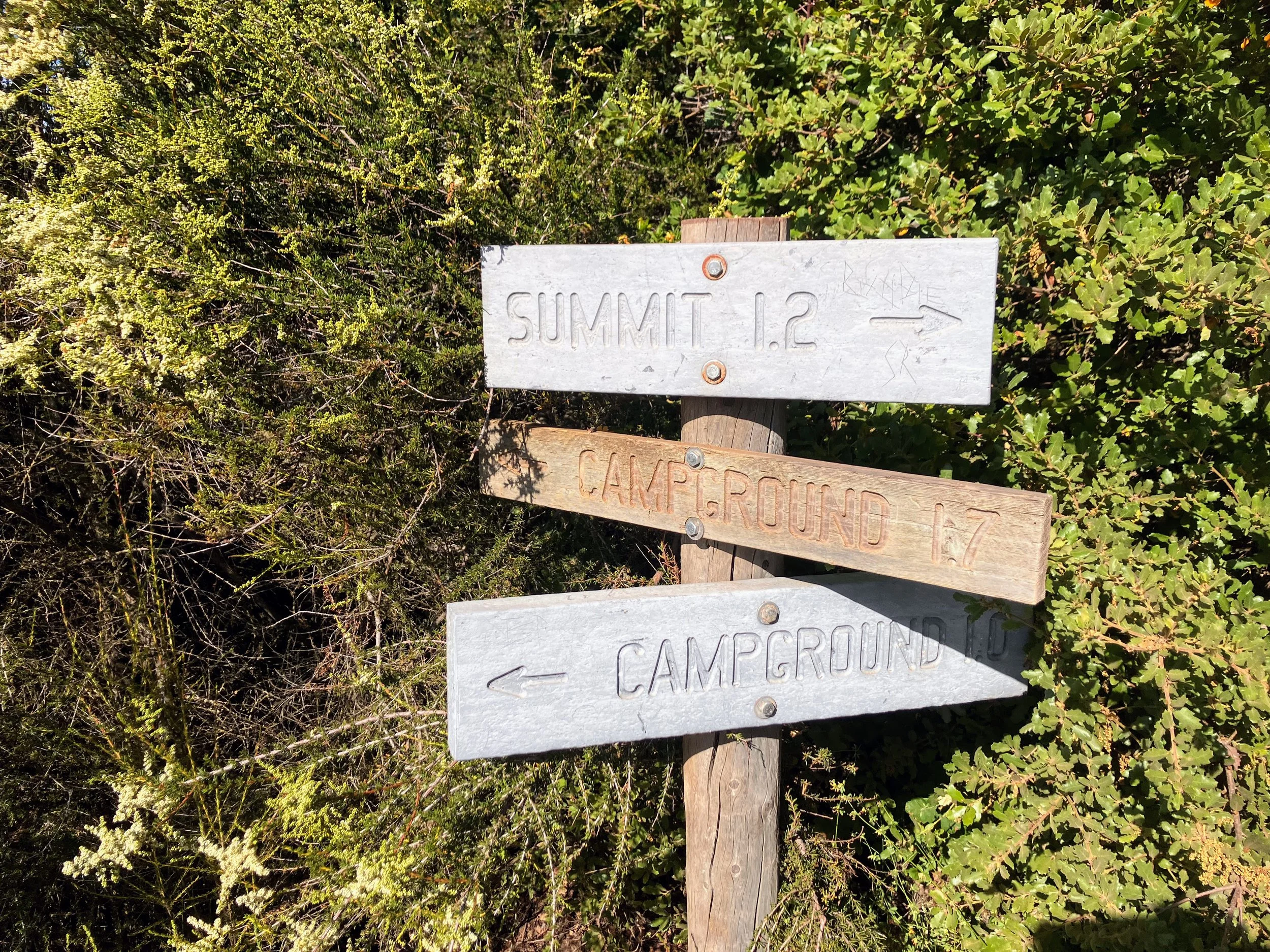
We decide to take advantage of the opportunity to bag two nearby peaks, starting with Tassajara, a short, steep detour from the dirt road. We sit at the top, taking a brief break, and go over logistics for the next section: long stretches on Highway 1, walking on pavement, navigating through towns and traffic, where we’ll find water, where we might camp, and all the little details that matter.
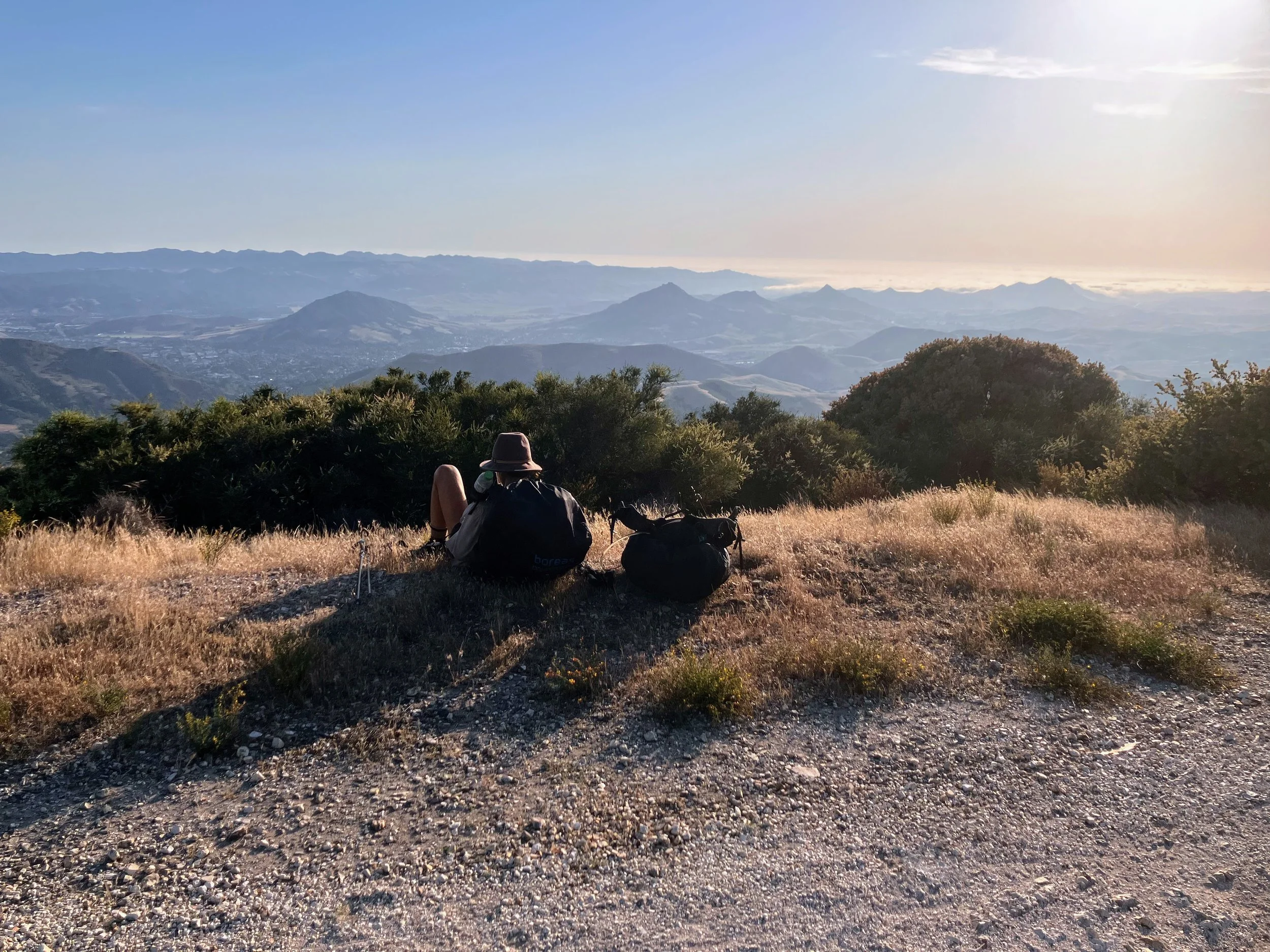
Next, we set out for Cerro Alto.
The summit is windy and two hikers are already there, occupying prime spots at the top, so we don’t stay long.
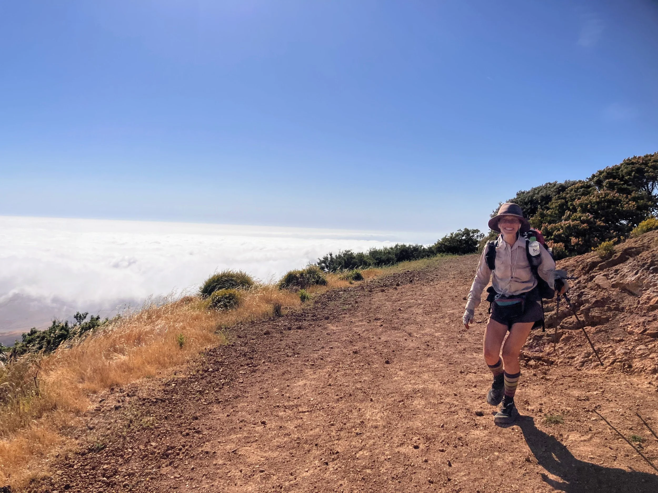
On the way down, fog rolls in from the ocean across the hills, shifting around us. I wonder if you can tell time in the Central Coast by where the fog has moved in and out.
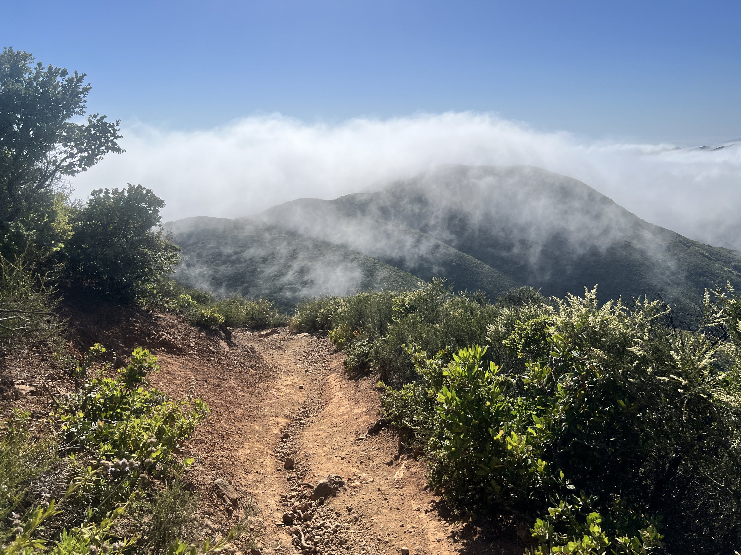
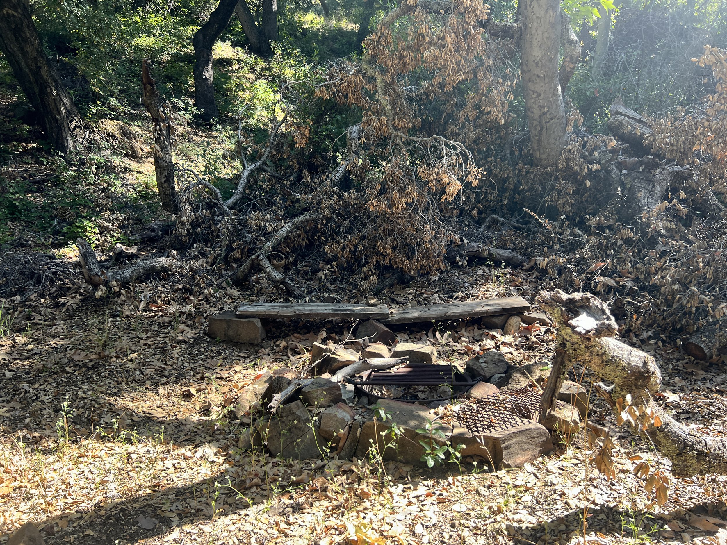
We reach Cerro Alto Campground, $35 a night, no showers, ridiculous. Our options are limited. We’re on the brink of civilization, the next section is a road walk to town, and the road is lined with private property, so it’s unclear if we’d be able to stealth camp. We wonder if there might be a free or low-cost spot for hikers, but we don’t see any signs. The mist from the fog is starting to turn into rain, so we decide to just pay and set up.
We sit at a picnic table, getting ready to unpack, when a young hiker approaches.
He introduces himself: Gabe. A recent college grad just starting out as a software engineer, young, clean, and curious about us and life on the trail. He asks lots of questions, mostly about balancing long-distance hiking with a career and making a living. He’s at an exciting point in his life, debating his next move, San Francisco is top of the list. He asks what kind of job could bend around months on the trail and how to balance it with the life everyone expects after graduation. He’s clearly trying to map a path between a career, a home, and the freedom he sees in us.
I tell him I work in education, and he seems relieved, nodding as if it clicks. That kind of job makes sense for this kind of hiking, no need to quit or make major life changes. The time is already built into a school schedule. Of course, he doesn’t realize it’s shoulder season, and if I were actually working, I’d be in school, not out here.
He asks more questions, clearly intrigued but tentative about breaking from the path most of his peers follow. We share how we’ve made this lifestyle work at different points in our lives, trying to show it’s possible. He seems drawn to this alternative lifestyle, though I can sense the pull of the usual path pressing in around him.
The camp host drives up with his wife in a small golf cart. They’re a young, friendly couple. We ask about thru-hiker discounts, and they seem disappointed at their lack of control over the campground. Just employees of the Forest Service, they can’t change anything. We understand and pay the fee.
The couple is chatty, and the conversation goes beyond the usual questions about bathrooms, water, and trash cans. They sympathize with my poison oak woes. Poison oak lines the hillsides here, unavoidable if you leave the trail or road.
They gift us a few logs for our fire, which we use to cook dinner, and in the morning we’ll gift them a few logs for their outhouse.
The fog rolls in thick and low, draping the landscape in a gray, damp veil and hiding the sunset. The air is heavy, and the ocean brings a salty tinge that makes everything feel sticky, clothes, gear, and skin.
Day 19 | June 2, 2025
Morning is rainy and slow.
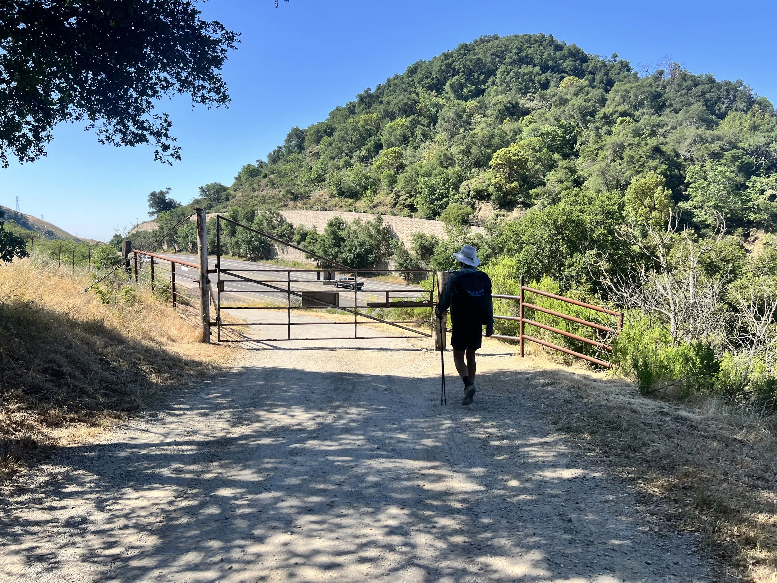
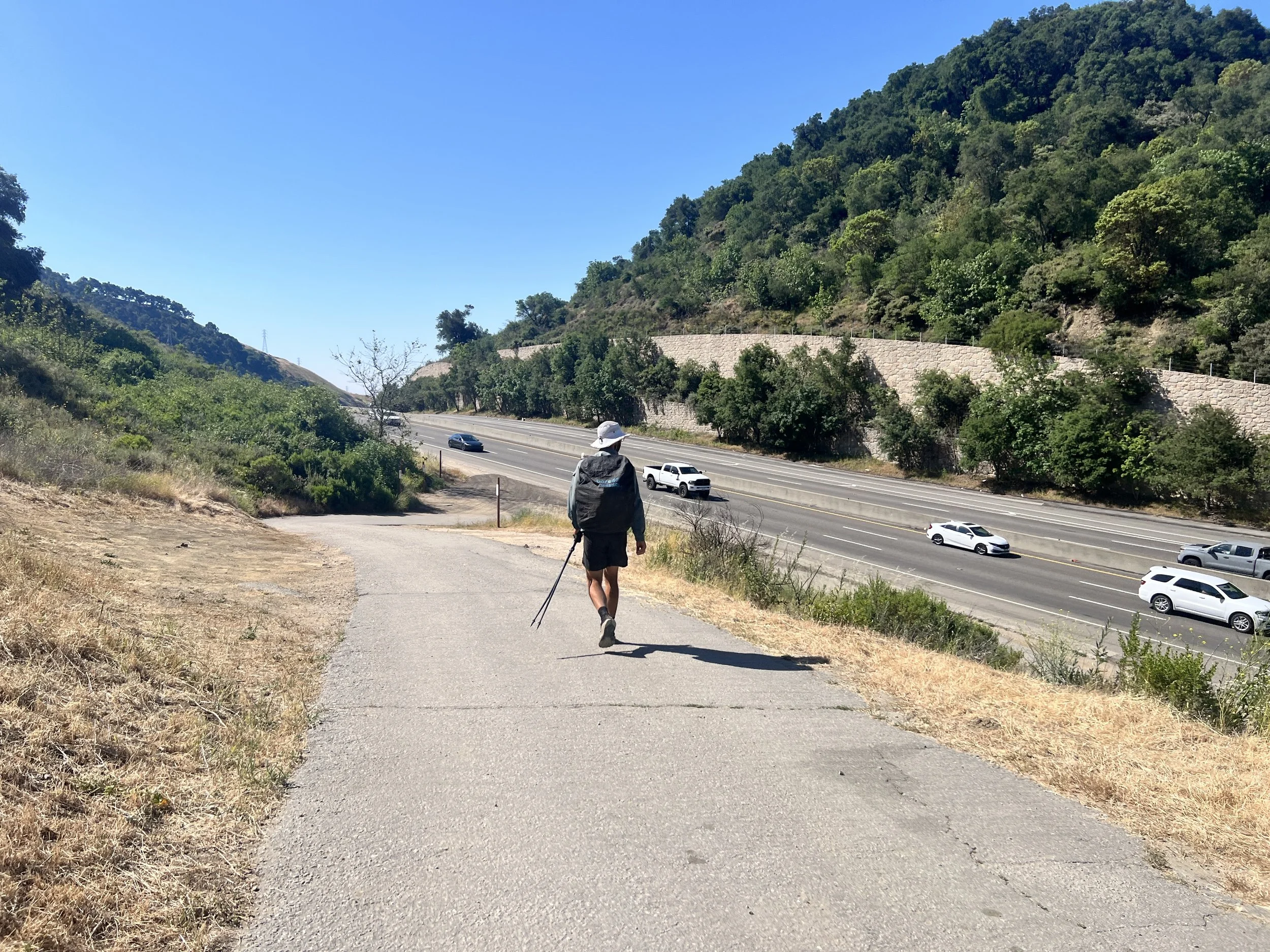
We pack up and follow a paved road out of the campground, heading west toward Highway 41. From there, we face an eight-and-a-half-mile walk to Morro Bay. A thick marine layer lingers low to the ground, limiting visibility, and with no shoulder and fast-moving cars, hiking along the highway feels especially dangerous.
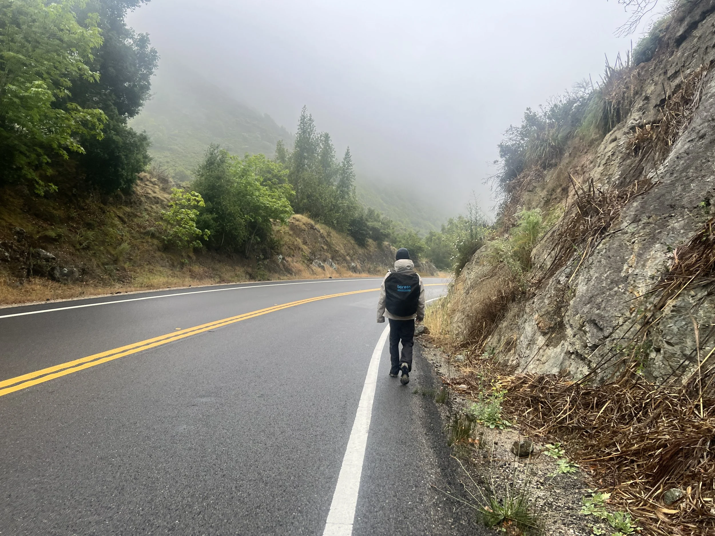
We stick close to the side of the road, walking into pullouts whenever we find them. At one such pullout, we pass a tow truck helping a man stranded on the roadside. He stares in our direction—I can only imagine what we look like: two dirty, smelly hikers trudging along the highway in the fog and rain. I’m sure we look more like vagrants than thru-hikers.
“What are y’all up to?” he asks.
Cosmo gives a quick explanation of the Condor Trail.
“Oh, that’s so cool. So y’all are just walking?”
“Yup.”
“Is that the one that starts in San Diego?”
“No,” Cosmo says. “We started at Lake Piru.”
“Ohhh, that’s so cool. I’ve always wanted to do the one that starts in San Diego and goes up the coast.”
“You mean the Pacific Crest Trail?” I ask.
“Yes! That one!”
“We actually met on the third day of that trail,” I say.
“Oh wow,” he responds with a huge smile. “That’s just so cool!”
He lights up and asks more about the trail. We chat for a bit about the route. People are curious, but the idea of long-distance hiking, especially the part where we walk without a car, doesn’t always click.
We continue for about four miles before deciding it would be safest to hitch a ride into town. We don’t try too hard, just sticking out our thumbs as cars pass by. Most vehicles ignore us or don’t see us, but eventually we catch a ride.
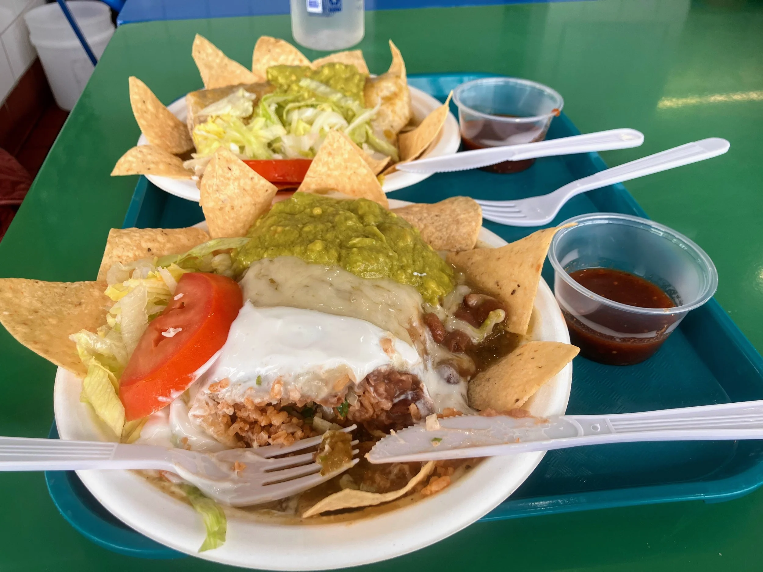
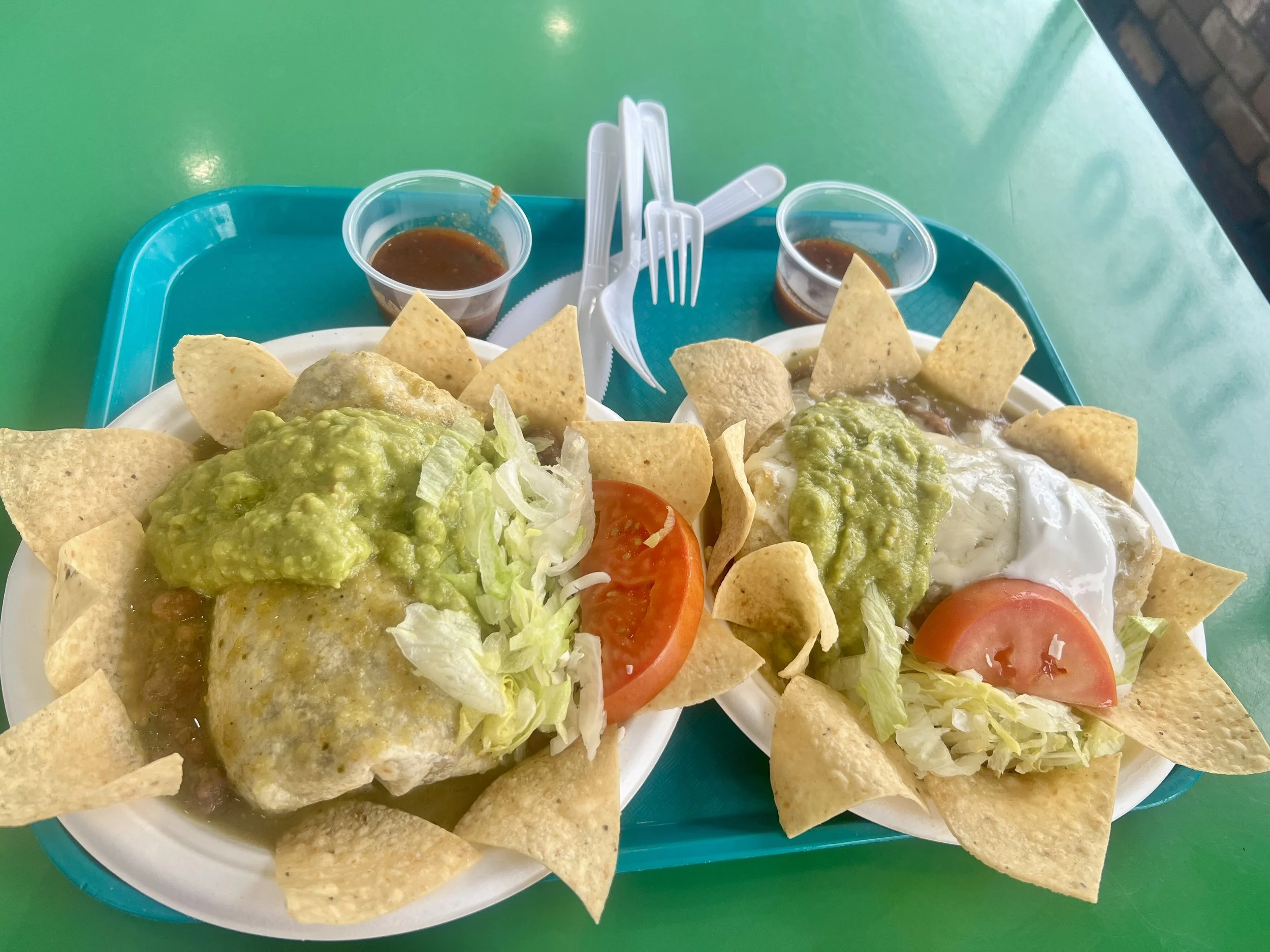
A red-headed man on his way to a Vietnamese restaurant for an 11 a.m. pho date gives us a ride. He’s friendly and makes pleasant small talk along the way, then drops us off on Main Street in front of a recommended Mexican restaurant.
We get in line behind a couple. The man, an older white gentleman with a long silver ponytail and a long face, gives us a few double and triple takes before pointing at us and saying, “You guys are… you guys are really dressed!”
We smile and nod, not quite sure what he means, but I assume he’s referring to our hiking attire. We’ve left the fog and rain behind, and Morro Bay is under clear skies, yet we’re still bundled in all our layers while the locals wear shorts and beachwear.
The man turns forward and then glances back at us a few more times, still marveling. “You’re really dressed in it all.” He says with a wide grin. I’m sure he’s talking about rain gear.
“We came from Cerro Alto Campground,” Cosmo says. “It was raining pretty steadily up there.”
His eyes widen. “Wow, really?”
“Yup,” Cosmo replies.
“Well, you’re in the right place,” he says, referring to the small restaurant. “This is the best food. And she’s the best,” he adds, pointing to the woman behind the register. She doesn’t smile or react.
He steps up to order.
“Hi, how are you?” he says excitedly to the woman behind the register.
With a straight face and a tight smile, she replies, “What can I get for you?”
“Oh, how are you?” he says again.
“I’m good, thanks. What can I get for you?” she asks, clearly keeping things professional.
When it’s our turn, we order burritos. The woman behind the counter asks where we’re coming from.
“We’re backpacking. On a big hike,” we say.
She shows more expression than she did with the man before, looking impressed, though a bit confused.
“We’re hiking the Condor Trail across Los Padres,” we explain.
“That’s awesome! Is that like Yosemite?”
Cosmo and I give each other a confused look, Yosemite?
“Not quite. We started at Lake Piru, north of Los Angeles.”
Trying to understand the nature of backpacking she adds, “Oh, so you drive around and set up camp in places?”
“Sort of,” we say. “Except we don’t have a car. We’re just walking.”
“Wow! That’s amazing,” she says. Then her tone softens, almost to a whisper, and she looks around as if about to share a secret. “Just be careful out there. People drive super crazy.” She pauses. “A lot of elderly folks live around here, and… well, you know… they don’t pay attention or can’t drive well. They refuse to give up their licenses.”
We stand there unsure of what to say next.
“Just be careful,” she repeats as she takes our money and rings up our order.
We sit down at a table in the back corner of the small, intimate restaurant and are about to take our first bites when a younger couple approaches.
“Can I ask where y’all came from?” the woman asks.
Our backpacks slouching on the ground are a clear giveaway that we’re travelers.
“We’ve been hiking the Condor Trail,” we say.
“Oh, the Condor Trail…” she nods. “I don’t think I’ve heard of that.”
“We started at Lake Piru and are hiking all the way near Monterey,” we explain.
“Wow,” she says.
Her partner chimes in. “So is that like the John Muir Trail?”
Cosmo and I exchange a brief, puzzled glance. It feels a little surreal. We’re far from Yosemite and the John Muir Trail, we’re hiking in the forests just outside this town, right where these locals live.
Cosmo politely tries to hide his surprise. “No… not quite the John Muir Trail.”
“Or like that one that starts in San Diego and goes to Oregon?” the guy asks.
“Not exactly the PCT,” Cosmo says. “The Condor Trail’s a little more along the coast. The PCT stays farther inland.”
Just then, the older man from earlier walks over and joins the conversation.
“You see any ticks out there?” he asks.
We nod, my stomach grumbling and reminding me I don’t want to be rude, but these conversations are going nowhere and I’m starving for this burrito.
“You gotta do tick checks.” He says offering some unsolicited advice. “ I’ve gotten Lyme disease three times!”
“Wow,” I say.
Eventually the conversation fizzles, and we finally dig into our much-needed burritos.

These awkward conversations happen a lot. People are curious, which is great, but the geography—or even the concept, of what we’re doing doesn’t always register. Every once in a while, we meet someone who gets it, but mostly, it feels like we’re explaining life on another planet.
After burritos, we walk to the grocery store, then check into our hotel. We eat greens with avocado, chips, and hummus. Do our laundry. Take much-needed showers.

I try (unsuccessfully) not to scratch the poison oak rash that has taken over most of my right hip, waist, stomach, and knees. I spray myself down with Tecnu itch relief, collapse onto the bed with the TV on, and devour a pint of ice cream that goes down way too fast and way too easily.
These are some of the best moments of thru-hiking, simple pleasures after long stretches of deprivation.
Later, feeling fresh and a little revived, we go for an evening walk.
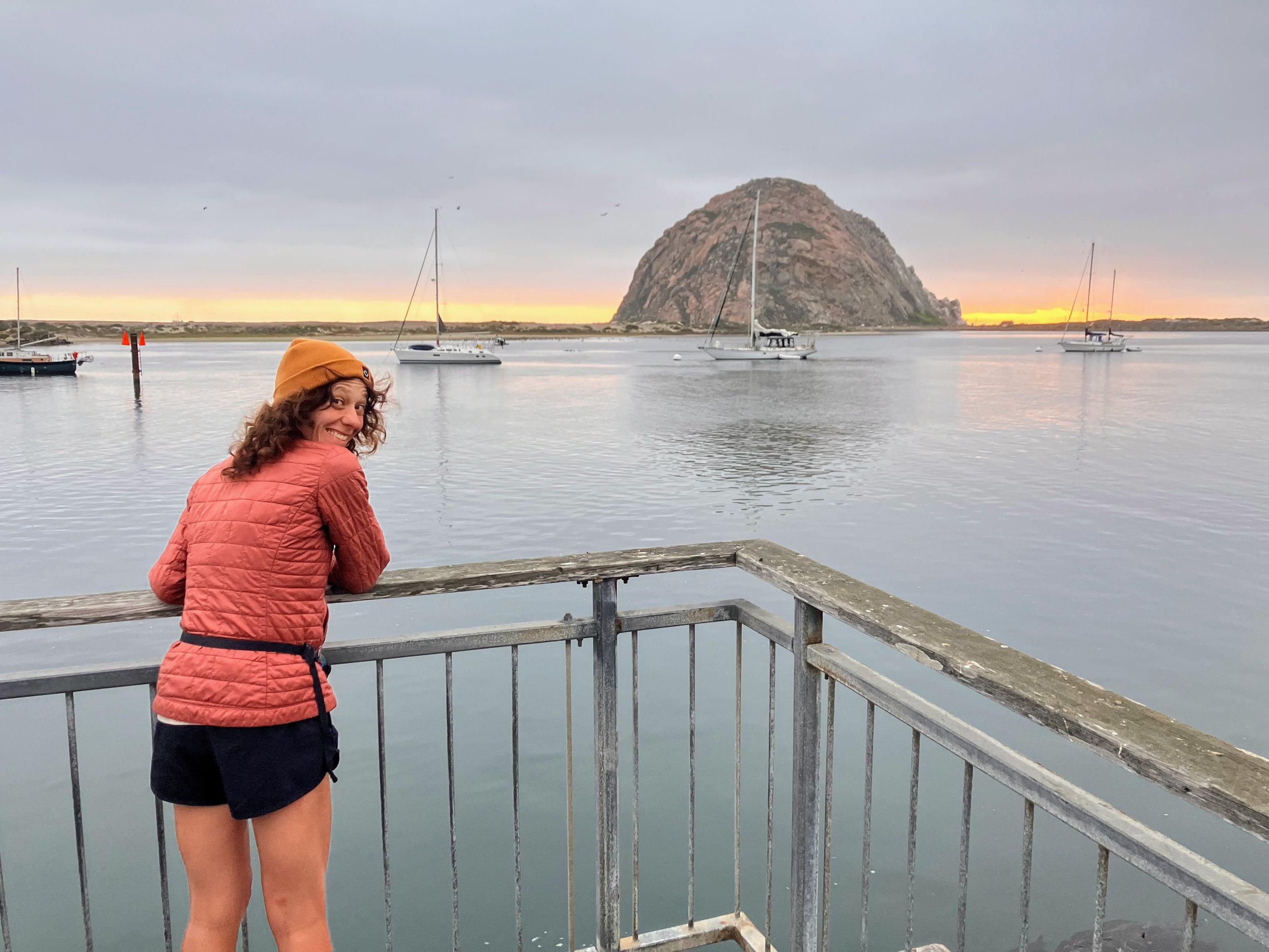
We try the local taffy, check out Morro Rock from afar, and catch our first glimpse of sea lions swimming in the water, who from now on I’ll call Orr Orrs, mimicking the short, bouncy sounds they make.
Tomorrow begins a new chapter: beach hiking. I’m looking forward to it.